The best MTB trails around Beamud
4.8
(4)
42
riders
7
rides
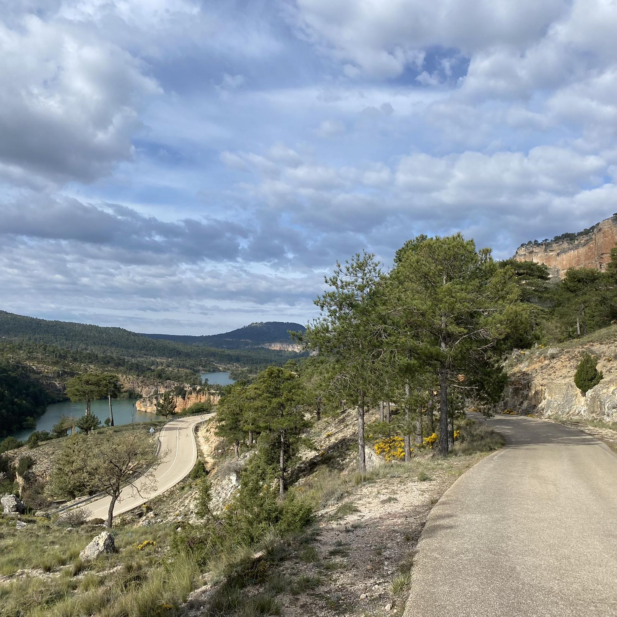
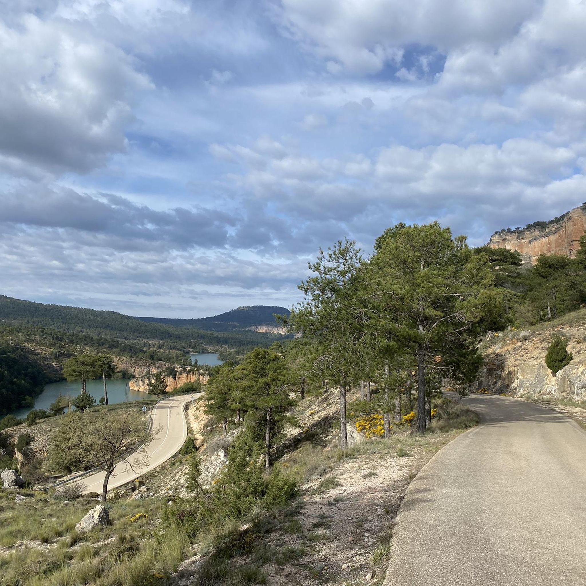
Mountain biking around Beamud offers a diverse landscape characterized by the Serranía de Cuenca Natural Park, featuring river sources, hills, and reservoirs. The region's terrain includes varied elevations suitable for different skill levels, from moderate climbs to more challenging ascents. Mountain bike trails in Beamud navigate through natural areas, providing a mix of forest paths and open sections.
Best mountain bike trails around Beamud
- The most popular mountain bike trail is Nacimiento del río Tajo – circular desde Valdemeca por…
Last updated: July 20, 2026
1
riders
Hard mountain bike ride. Good fitness required. Advanced riding skills necessary. Some portions of the route may require you to push your bike.
39.1km
03:38
810m
810m
Moderate mountain bike ride. Good fitness required. Advanced riding skills necessary.
3
riders
48.9km
04:04
1,240m
1,240m
Hard mountain bike ride. Very good fitness required. Advanced riding skills necessary.
Get access to more routes and recommendations from other explorers.
Sign up for free
Already have an account?
Our route recommendations are based on thousands of hikes, rides, and runs completed by other people on komoot.
Start today with a free account
Your next adventure awaits.
Login or Signup
Popular around Beamud

Tips from the Community

At the edge of the small village of Zafrilla, we find an old washhouse, a fountain, and some barbecues used by the locals for leisure. Perhaps it could benefit from some shade to keep the sun out directly.
9
0
This small town has two small rivers, called the Laguna River and the Tejadillos River, which flow through a large orchard near the town, abundant with hazel trees and willows.
9
0
A small town in the province of Cuenca with a very small population, barely 30 residents. It is located in the Serranía Baja region of the province of Cuenca and is just six kilometers from the town of Huerta del Marquesado.
9
0

The official source of water is located at Fuente de García, in the Montes Universales, within the municipality of Frías de Albarracín (Teruel). It is located at an altitude of approximately 1,590 meters, surrounded by pine forests and high mountain meadows. Access is very easy and well signposted. Take the A-1704 highway, which connects Frías de Albarracín with Huélamo (Cuenca). From the highway, a paved detour of approximately 2 km takes you directly to the recreational area and the monument. There is free parking next to the monument.
10
0
Access is very easy and well signposted. Take the A-1704 highway, which connects Frías de Albarracín with Huélamo (Cuenca). From the highway, a paved detour of approximately 2 km takes you directly to the recreational area and the monument. There is free parking next to the monument.
5
0
The official source is located at Fuente de García, in the Montes Universales, within the municipality of Frías de Albarracín (Teruel). It is located at an altitude of approximately 1,590 meters, surrounded by pine forests and high mountain meadows.
5
0
It is a reference to the place where the longest river in Spain originates, stretching over 1,000 km and flowing into neighboring Portugal. These statues symbolize this point in the Albarracín mountain range.
8
0
It seems endless, and although it may seem minor, it's a demanding climb that requires patience and strength. The difficulty will depend on the timing of the climb, as if it's hot, it's best to pace it with short breaks under some shade.
7
0
Frequently Asked Questions
What kind of mountain bike trails can I expect around Beamud?
Mountain biking around Beamud offers a diverse landscape within the Serranía de Cuenca Natural Park. You'll find trails navigating through river sources, hills, and reservoirs, with a mix of forest paths and open sections. The terrain includes varied elevations, suitable for riders looking for moderate to challenging ascents.
Are there mountain bike trails suitable for beginners in Beamud?
The trails around Beamud are generally categorized as moderate to difficult. While there are no routes specifically listed as 'easy', those with some mountain biking experience might find the moderate trails manageable. For example, the Cabeza Modorra y embalse La Toba – circular desde Beamud is a moderate option.
What is the overall difficulty level of mountain biking in Beamud?
The mountain bike trails in Beamud are primarily suited for riders with some experience, offering a mix of moderate and difficult routes. There are 3 moderate and 3 difficult trails available, providing options for those seeking a good workout and technical challenges.
Are there any circular mountain bike routes starting directly from Beamud?
Yes, a notable circular route starting from Beamud is Cabeza Modorra y embalse La Toba – circular desde Beamud. This moderate 24.3-mile (39.1 km) path offers views of Cabeza Modorra hill and La Toba reservoir.
What are some challenging mountain bike routes for experienced riders?
Experienced riders looking for a challenge can explore routes like Nacimiento del río Tajo – circular desde Valdemeca por el Parque Natural Serranía de Cuenca. This difficult 30.5-mile (49.2 km) trail explores the source of the Tagus River within the natural park. Another demanding option is Huélamo – Spring and washhouse loop from Molatilla del Molino, which covers nearly 60 miles (97.5 km) with significant elevation gain.
What can I see along the mountain bike trails in Beamud?
Many trails offer scenic views and natural attractions. You can find several viewpoints, such as the Puntal de la Tola Viewpoint and the Viewpoint over the La Toba Reservoir. There are also natural monuments like a Natural Water Spring and the Boquerón Cave to explore.
Are there any mountain bike routes that pass by reservoirs?
Yes, the region is known for its reservoirs. The Cabeza Modorra y embalse La Toba – circular desde Beamud route specifically features views of the La Toba reservoir. You can also find viewpoints overlooking the reservoir, such as the Viewpoint over the La Toba Reservoir.
What do other mountain bikers enjoy most about mountain biking in Beamud?
The area is highly rated by the komoot community, with an average score of 4.5 stars. Riders often praise the natural park landscapes, river valleys, and reservoir views, highlighting the diverse terrain and the mix of forest paths and open sections that make for an engaging ride.
When is the best time of year to go mountain biking in Beamud?
Given its location in the Serranía de Cuenca, spring and autumn generally offer the most pleasant conditions for mountain biking in Beamud, with milder temperatures and vibrant natural scenery. Summer can be hot, especially at midday, while winter may bring colder temperatures and potential for snow at higher elevations.
Are there any routes that explore the source of the Tagus River?
Yes, the challenging route Nacimiento del río Tajo – circular desde Valdemeca por el Parque Natural Serranía de Cuenca specifically takes you to the source of the Tagus River within the natural park.
Can I find mountain bike trails that go through forested areas?
Many of the trails in Beamud navigate through natural areas with significant forest cover. For example, the Refugio de la Alconera – Refugio La Alconera loop from Huélamo leads through extensive forested areas and past a mountain refuge.
Most popular routes around Beamud
Most popular attractions around Beamud

Get inspired with the komoot mobile app


Explore more
Browse the best MTB trails in other regions.
