The best gravel rides around Cabrejas Del Pinar
4.6
(5)
47
riders
10
rides
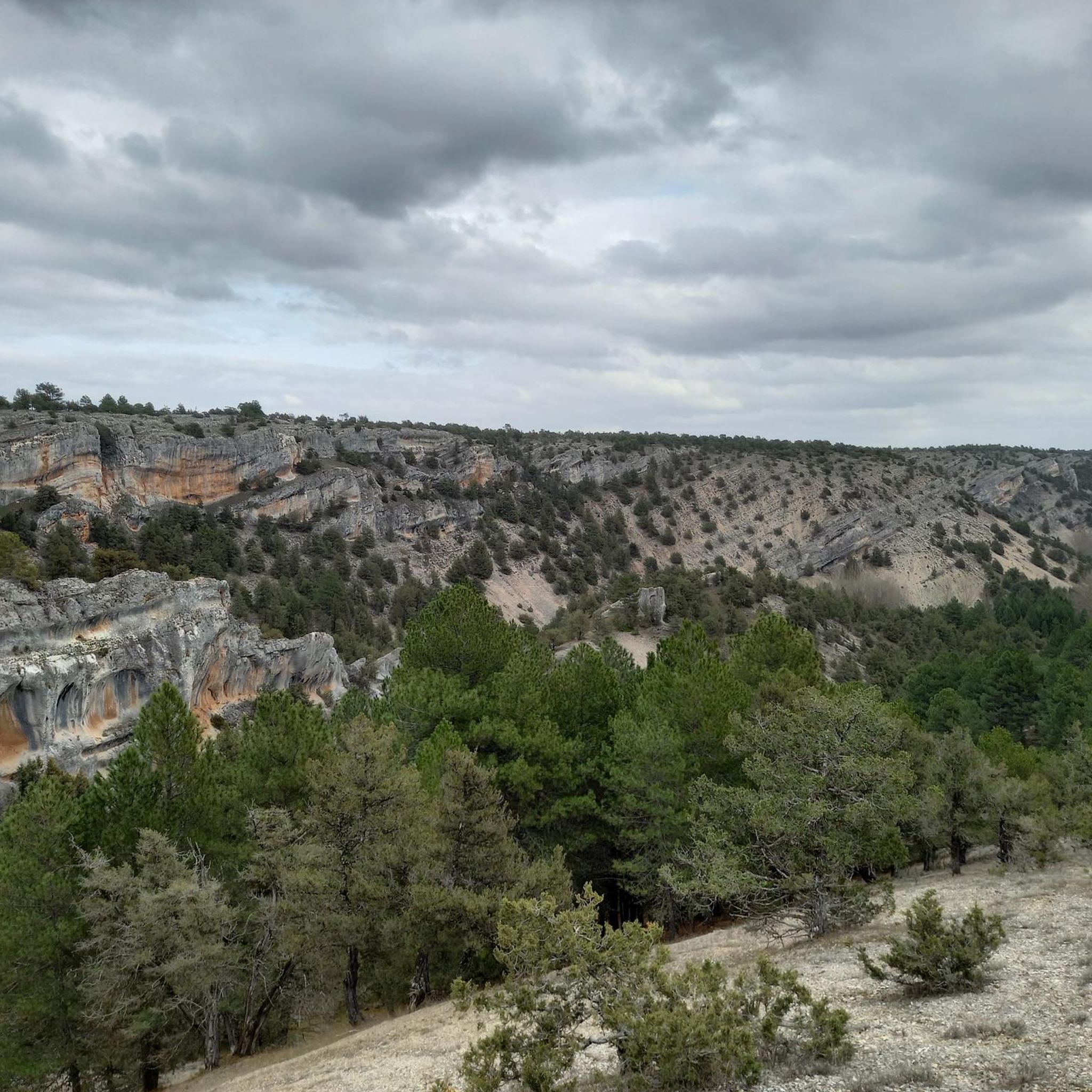
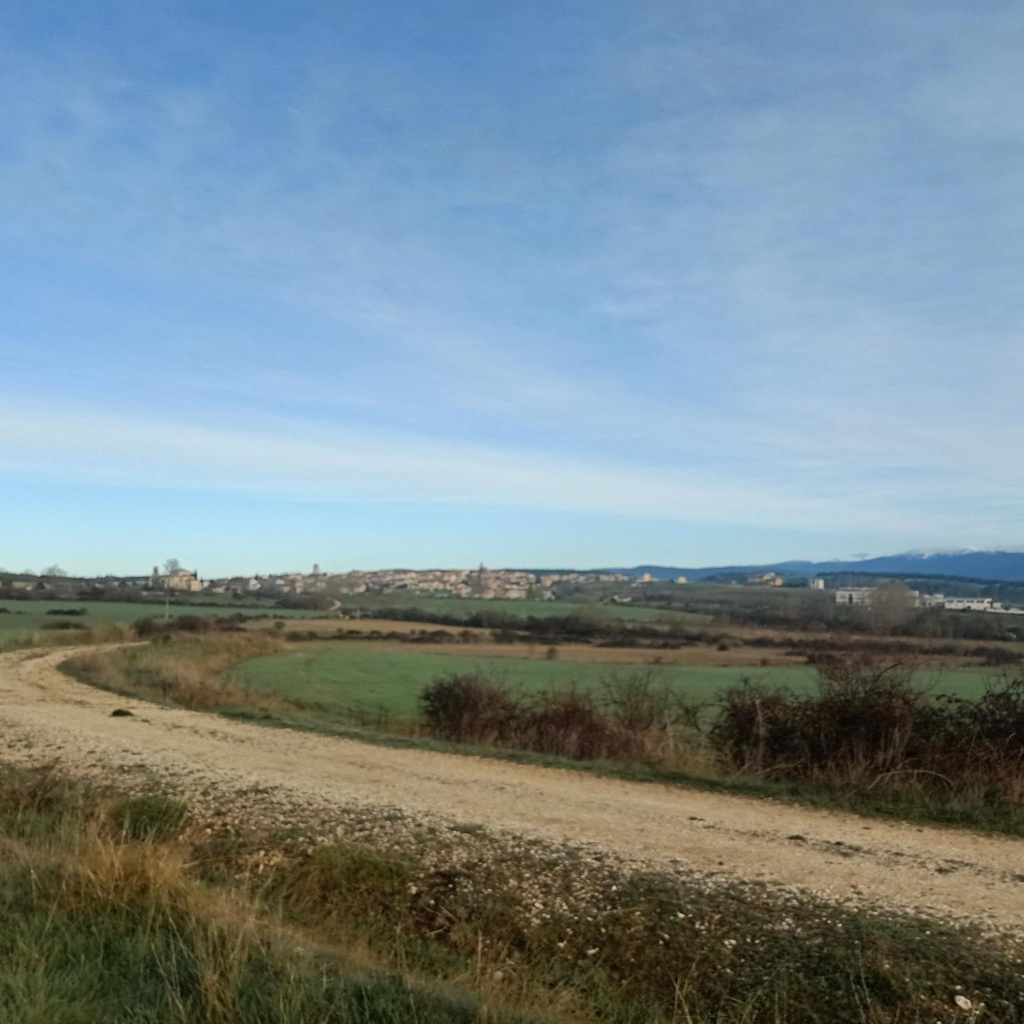
Gravel biking around Cabrejas Del Pinar offers routes through a landscape characterized by pine forests, river valleys, and rolling hills. The region features varied terrain, including sections along the Duero River and around the Cuerda del Pozo Reservoir. Elevation changes are common, with routes traversing both lower valleys and higher forested areas.
Best gravel bike trails around Cabrejas Del Pinar
- The most popular gravel bike trail is Bridge over the Duero – Molinos de Duero loop from Cabrejas del Pinar…
Last updated: July 20, 2026
5.0
(1)
5
riders
52.4km
04:42
890m
890m
Hard gravel ride. Very good fitness required. Mostly paved surfaces. Suitable for all skill levels.
5.0
(1)
7
riders
18.1km
01:19
220m
220m
Moderate gravel ride. Good fitness required. Mostly paved surfaces. Suitable for all skill levels.

Sign up for free
3
riders
66.9km
05:13
850m
850m
Hard gravel ride. Very good fitness required. Mostly paved surfaces. Suitable for all skill levels.
2
riders
22.6km
01:44
290m
290m
Moderate gravel ride. Good fitness required. Mostly paved surfaces. Suitable for all skill levels.
3
riders
103km
08:04
1,730m
1,730m
Hard gravel ride. Very good fitness required. Mostly paved surfaces. Suitable for all skill levels.
Get access to more routes and recommendations from other explorers.
Sign up for free
Already have an account?
Our route recommendations are based on thousands of hikes, rides, and runs completed by other people on komoot.
Start today with a free account
Your next adventure awaits.
Login or Signup
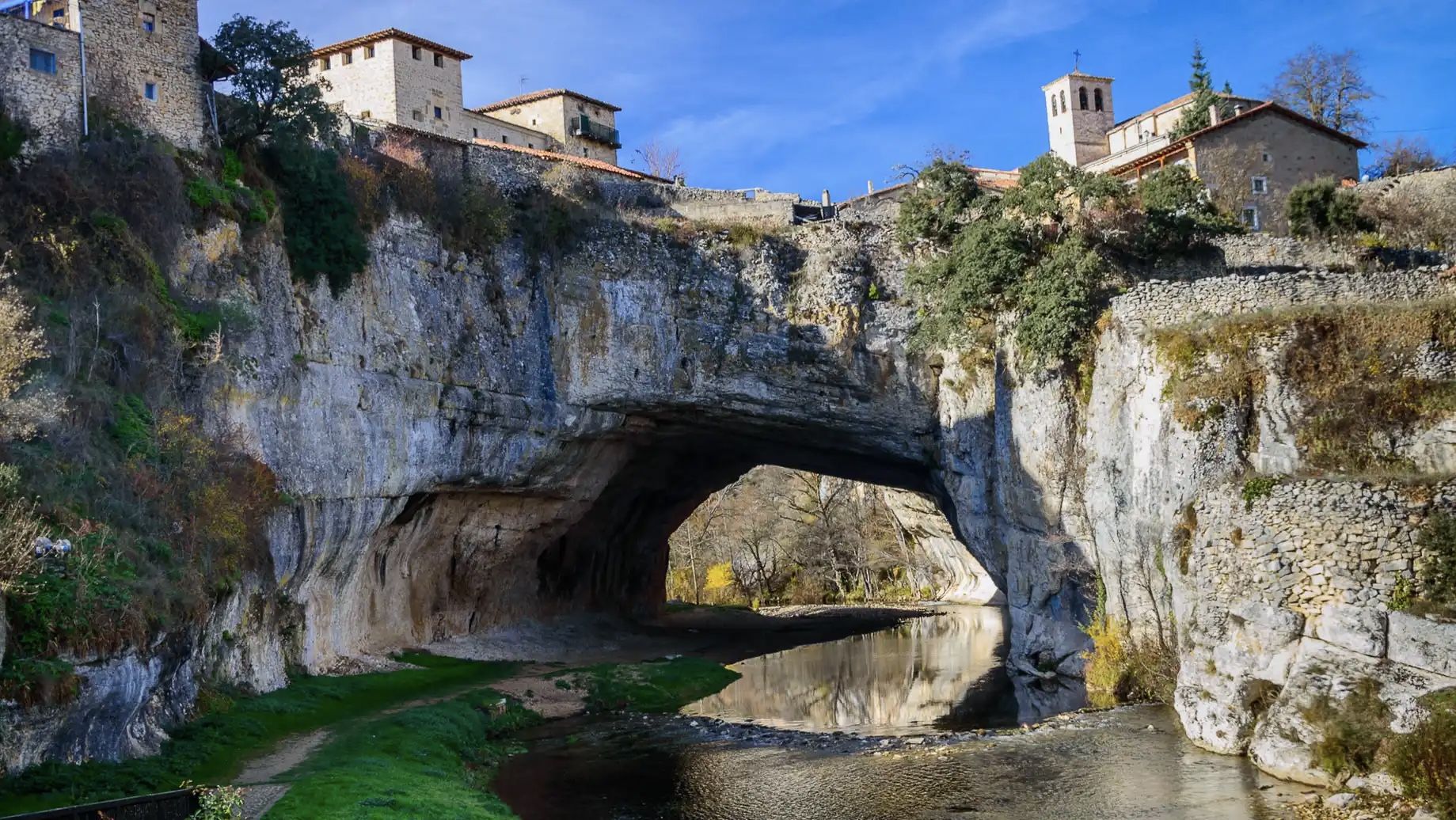
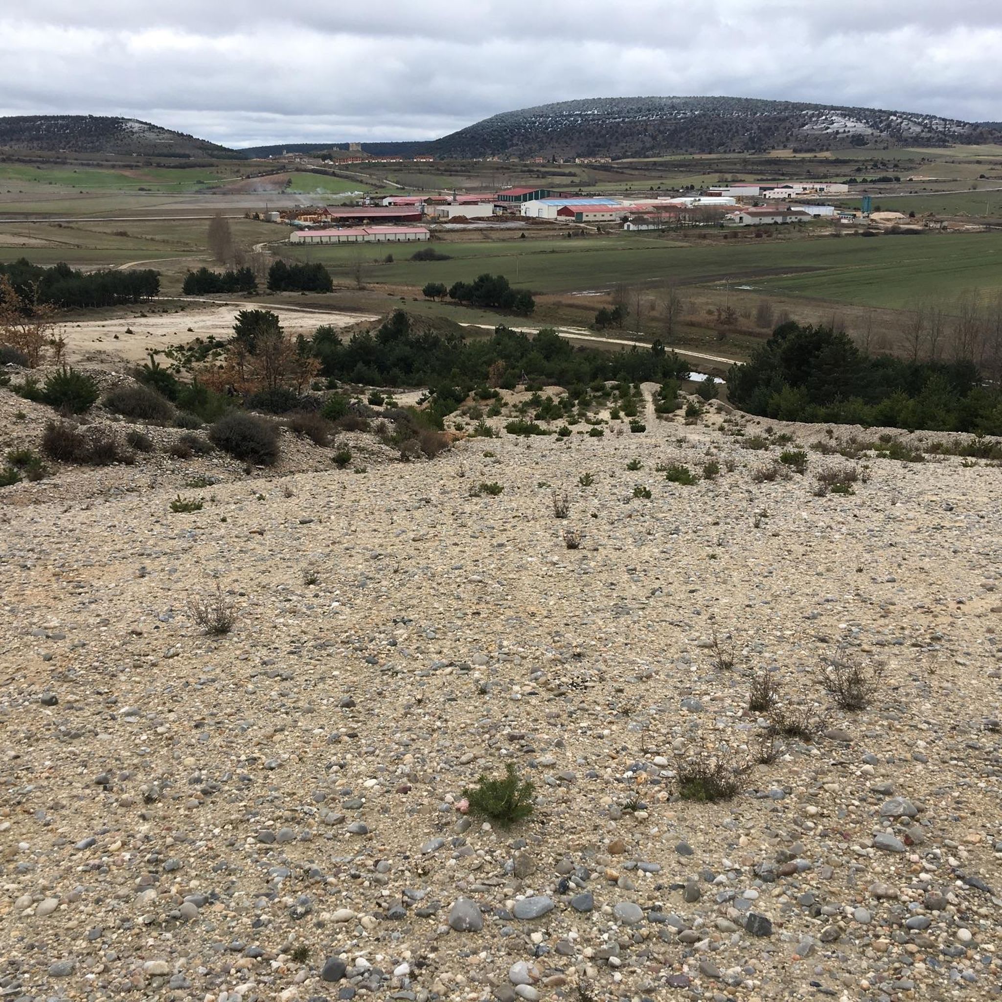
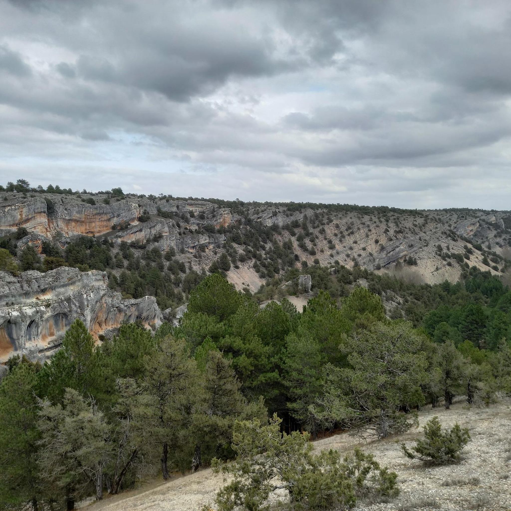
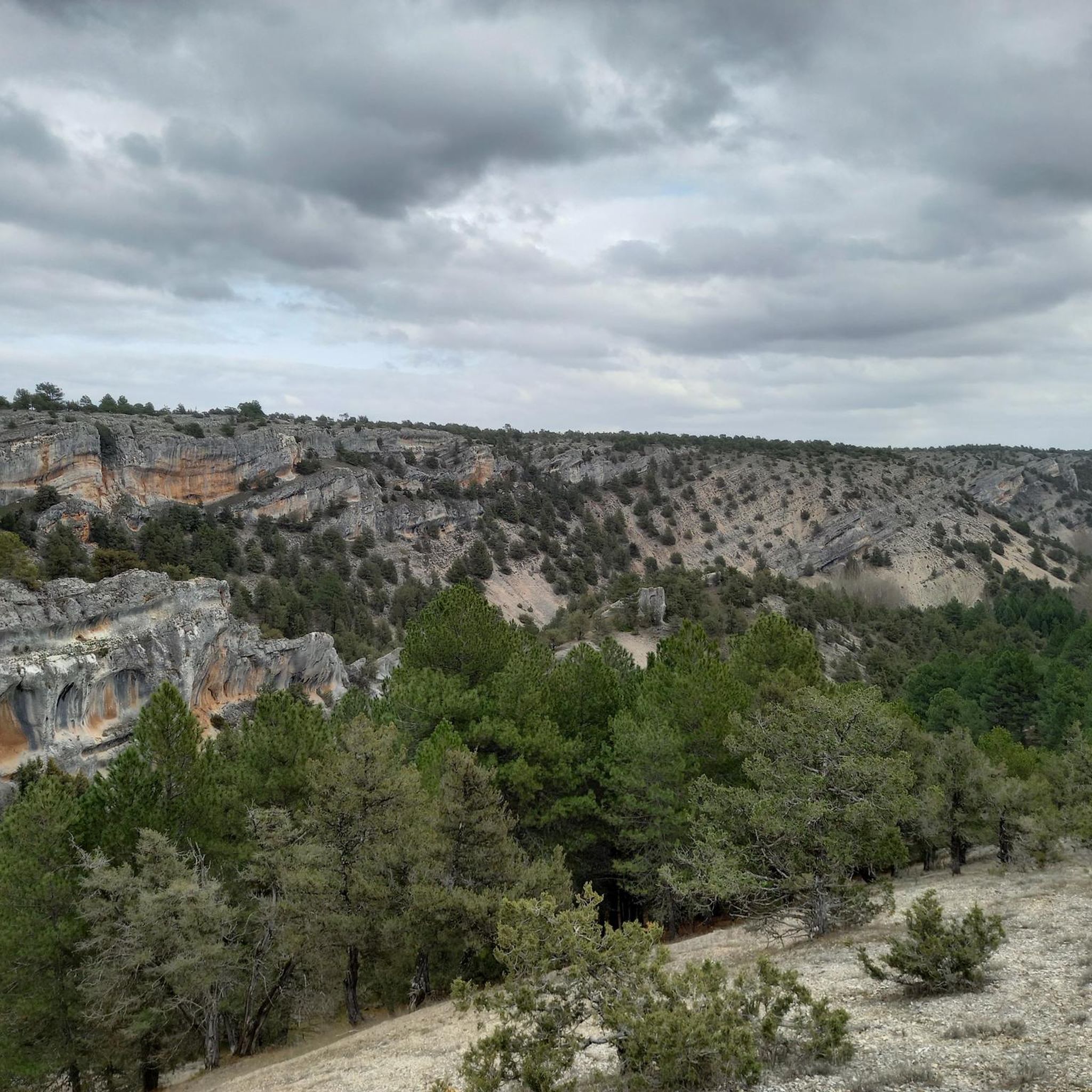
Other adventures around Cabrejas Del Pinar

Tips from the Community

Gothic church with a beautiful ribbed vault dedicated to the Virgin of the Pine
0
0

Beautiful town in Soria.
0
0

Molinos, located at the entrance to the valley through which the Duero River descends, amidst thick pine forests, was the most important cart-making center in the country for centuries. A monument today reminds visitors of the great impact this activity had on the area. The wool trade significantly stimulated muleteering and transport, leading the Catholic Monarchs to found the Royal Cart-Workers' Cabin in 1497, granting it substantial privileges and franchises that successive monarchs maintained until its abolition in 1836. A result of the wealth this activity brought is the collection of beautiful stone mansions scattered throughout the town.
0
0

The cycle path on the railway line consists of coarse, loose gravel, so the wide shoulder on the relatively quiet national road is really relaxing
0
0

San Leonardo de Yagüe Km 61. Altitude 1,060. The Greenways and Nature Trails networks restore old railway lines from the late 19th and early 20th centuries, when engineers marked the placement of rails following the terrain and elevations, avoiding steep slopes, something unthinkable in today's railway designs. The railway weaves through the mountain pine forests and passes far from Navaleno; even the old station is off the route, although it appears to be undergoing restoration. In San Leonardo de Yagüe, however, a cinematic curiosity of the railway remains visible. Before reaching the town, the rails that were the setting for a sequence in the film Doctor Zhivago appear, where Zhivago meets Strelnikov. This scene is set with photos from the film and the famous Mikado locomotive, an interesting location for classic film lovers. The town is a fine example of the region's pine architecture. It has stately homes, remains of a 16th-century castle, and the town square features a pine tree raised during the "pingada de mayo" (May Pingada), a popular festival held by local youths who select a large pine tree from the forest and hoist it (pingan) using wooden forks and ropes until the trunk is positioned vertically in the town square. The descent to Hontoria del Pinar is fast; the bike can reach 30 kilometers per hour without applying pressure on the pedals. It's a delightful stretch in the kingdom of the pine forest. The current development of the Nature Trail ends at the entrance to the town, near the Lobos River. It looks like the end of the road, but it's actually a break in the signage work to Cascajares del Campo. These will soon be completed, and the trail will continue to the Engaña Tunnel, in the Cantabrian Mountains. In Hontoria, I have prepared a connecting section to Duruelo de la Sierra to return to Soria along the Senda del Duero. The trail is fairly simple and obvious, following the forest trails of the pine forests. It climbs up the Palacios de la Sierra road and crosses the mountain range to pass by the Presón Refuge and the Castroverde Refuge, in case anyone prefers to spend the night in the pine forest. The climb to the Balcón de Pilatos has some rather steep slopes at the end of the stage through the Umbría mountain range. It's the last warm-up before a comforting descent along the Duruelo de la Sierra road.
0
0
With impressive views of Urbión
0
0
Nice area for outdoor activities.
0
0
Frequently Asked Questions
How many gravel bike trails are available around Cabrejas Del Pinar?
There are several gravel bike routes around Cabrejas Del Pinar, with komoot featuring 8 distinct trails. These routes traverse pine forests, river valleys, and rolling hills, offering a variety of experiences.
Are there gravel bike trails suitable for beginners in Cabrejas Del Pinar?
While most routes in the area are rated as difficult, there is one moderate trail available: the Cuerda del Pozo Reservoir – Bridge over the Duero loop from Vinuesa. This 11.2-mile (18.1 km) path offers scenic views of the reservoir and river, making it a more accessible option for those new to gravel biking in the region.
What kind of terrain can I expect on gravel bike trails near Cabrejas Del Pinar?
The terrain around Cabrejas Del Pinar is characterized by extensive pine forests, river paths along the Duero, and rolling hills. You'll encounter varied surfaces, including gravel roads, forest tracks, and some sections with elevation changes as routes traverse both lower valleys and higher forested areas.
Are there challenging gravel bike routes for experienced riders?
Yes, the region offers several challenging routes for experienced gravel bikers. For instance, the Bridge over the Duero – Molinos de Duero loop from Cabrejas del Pinar is a difficult 50.5-mile (81.2 km) trail with significant elevation gain. Another demanding option is the Molinos de Duero – Ermita de La Blanca loop from Cabrejas del Pinar, covering 61.4 miles (98.7 km) through varied landscapes.
Are there any circular gravel bike routes in the area?
Many of the gravel bike routes around Cabrejas Del Pinar are designed as loops, allowing you to start and finish in the same location. Examples include the Cuerda del Pozo Reservoir – Bridge over the Duero loop from Vinuesa and the Molinos de Duero – Ermita de La Blanca loop from Cabrejas del Pinar.
What are the typical lengths of gravel bike trails around Cabrejas Del Pinar?
Gravel bike trails in this region vary significantly in length. You can find shorter, moderate loops like the 11.2-mile (18.1 km) Cuerda del Pozo Reservoir – Bridge over the Duero loop from Vinuesa, up to much longer and more challenging routes such as the 61.4-mile (98.7 km) Molinos de Duero – Ermita de La Blanca loop from Cabrejas del Pinar.
Where can I find parking for gravel biking in Cabrejas Del Pinar?
Parking is generally available in the villages where the routes start, such as Cabrejas del Pinar, Molinos de Duero, or Vinuesa. Look for designated parking areas or street parking within these communities.
Can I download GPX tracks for the gravel bike routes?
Yes, all routes on komoot, including those around Cabrejas Del Pinar, offer GPX track downloads. Once you've selected a route, you can easily download the GPX file to use with your GPS device or cycling computer.
Are there any waterfalls or natural sights along the gravel bike trails?
The region is rich in natural beauty. You can find highlights such as the Paso Peñoncito Waterfall and the Chorrera Waterfall, which are part of the natural monuments around Cabrejas Del Pinar. The La Fuentona de Muriel lake is also a notable natural attraction.
What other interesting places can I explore near the gravel bike routes?
Beyond the trails, the area offers several points of interest. You can visit the Source of the Ucero River or explore various huts and refuges like the Taina de la Verguilla or Refugio del Sotolengo, which can be great spots for a break.
When is the best time of year to go gravel biking in Cabrejas Del Pinar?
The best time for gravel biking in Cabrejas Del Pinar is generally during spring and autumn when temperatures are milder and the natural scenery is vibrant. Summers can be warm, while winters may bring colder conditions and potential snow, especially in higher forested areas.
What do other gravel bikers enjoy the most about gravel biking in Cabrejas Del Pinar?
The area is highly rated by the komoot community, with an average score of 5.0 stars. Reviewers often praise the quiet woodlands, the diverse terrain, and the scenic views of the Duero River and Cuerda del Pozo Reservoir, highlighting the immersive natural experience.
Most popular routes around Cabrejas Del Pinar
Most popular attractions around Cabrejas Del Pinar

Get inspired with the komoot mobile app


Explore more
Browse the best Gravel rides in other regions.
