The best walks and hikes around Fuentesaúco De Fuentidueña
5.0
(5)
23
hikers
5
hikes
Hiking around Fuentesaúco De Fuentidueña offers access to diverse landscapes within the Segovia Norte - Tierra de Pinares region. The area is characterized by the dramatic canyons carved by the Duratón River, forming the Hoces del Río Duratón Natural Park. Hikers can explore riverbanks, pine and oak forests, and elevated viewpoints that provide expansive vistas of the reservoir and surrounding gorges. This terrain provides a variety of hiking experiences, from gentle riverside paths to more challenging routes with significant elevation changes.
Best hiking trails around Fuentesaúco De Fuentidueña
- The most popular hiking route is Las Vencías Reservoir Loop, a 12.7 miles (20.5 km) trail that takes 5 hours 39 minutes to complete, offering extensive views of the Duratón River and reservoir.
- Another top favourite among local hikers is Las Vencias Reservoir – Fuentidueña loop from Fuentidueña, a moderate 4.8 miles (7.7 km) path. This route explores the river valley and passes through the historic village of Fuentidueña.
- Local hikers also love the Views of vulture nests loop from San Miguel de Bernuy, a 3.3 miles (5.3 km) trail leading through the Hoces del Río Duratón Natural Park, often completed in about 1 hour 29 minutes.
- Hiking around Fuentesaúco De Fuentidueña is defined by dramatic river gorges, pine forests, and elevated viewpoints. The network offers options for different ability levels, from easy riverside walks to more difficult reservoir loops.
- The routes in Fuentesaúco De Fuentidueña are highly rated by the komoot community with an average score of 5.0 stars from over 5 reviews. More than 23 hikers have used komoot to explore Fuentesaúco De Fuentidueña's varied terrain.
Last updated: November 6, 2026
1
hikers
20.5km
05:39
350m
350m
Hard hike. Very good fitness required. Mostly walkable paths. Sure-footedness required.
5.0
(2)
12
hikers
5.33km
01:29
100m
100m
Easy hike. Easily walkable paths.

5.0
(1)
4
hikers
7km
01:47
20m
20m
Easy hike. Easily walkable paths.
5.0
(2)
6
hikers
7.68km
02:07
130m
130m
Moderate hike. Good fitness required. Easily walkable paths.
Hard hike. Very good fitness required. Easily walkable paths.
Our route recommendations are based on thousands of hikes, rides, and runs completed by other people on komoot.
Start today with a free account
Your next adventure awaits.
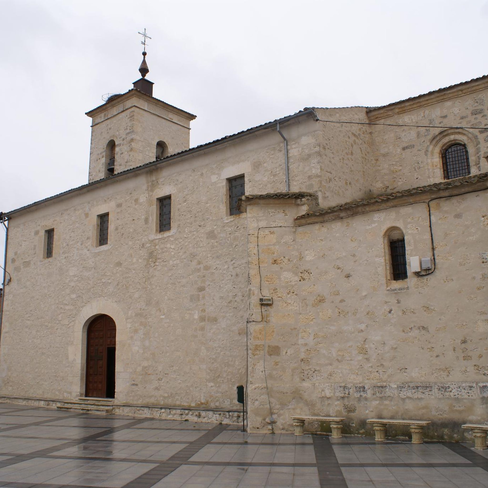
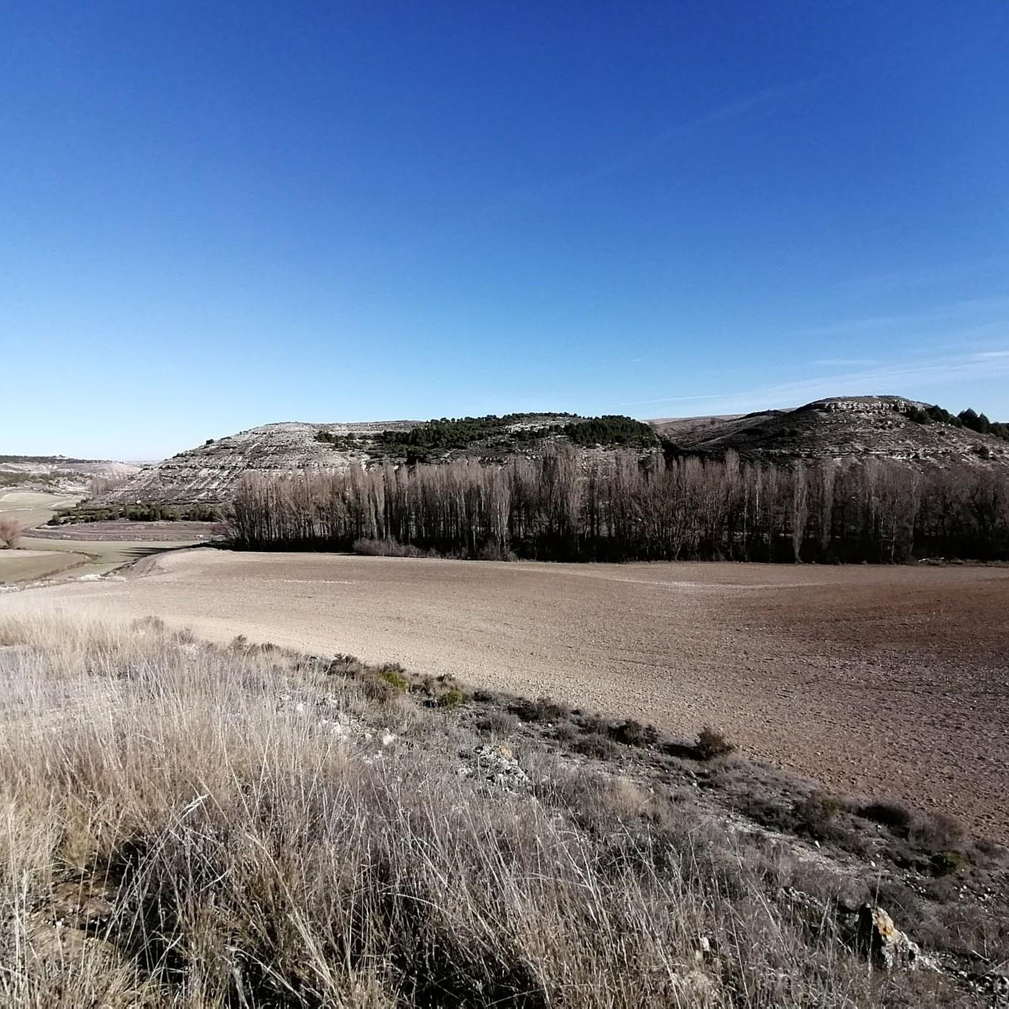
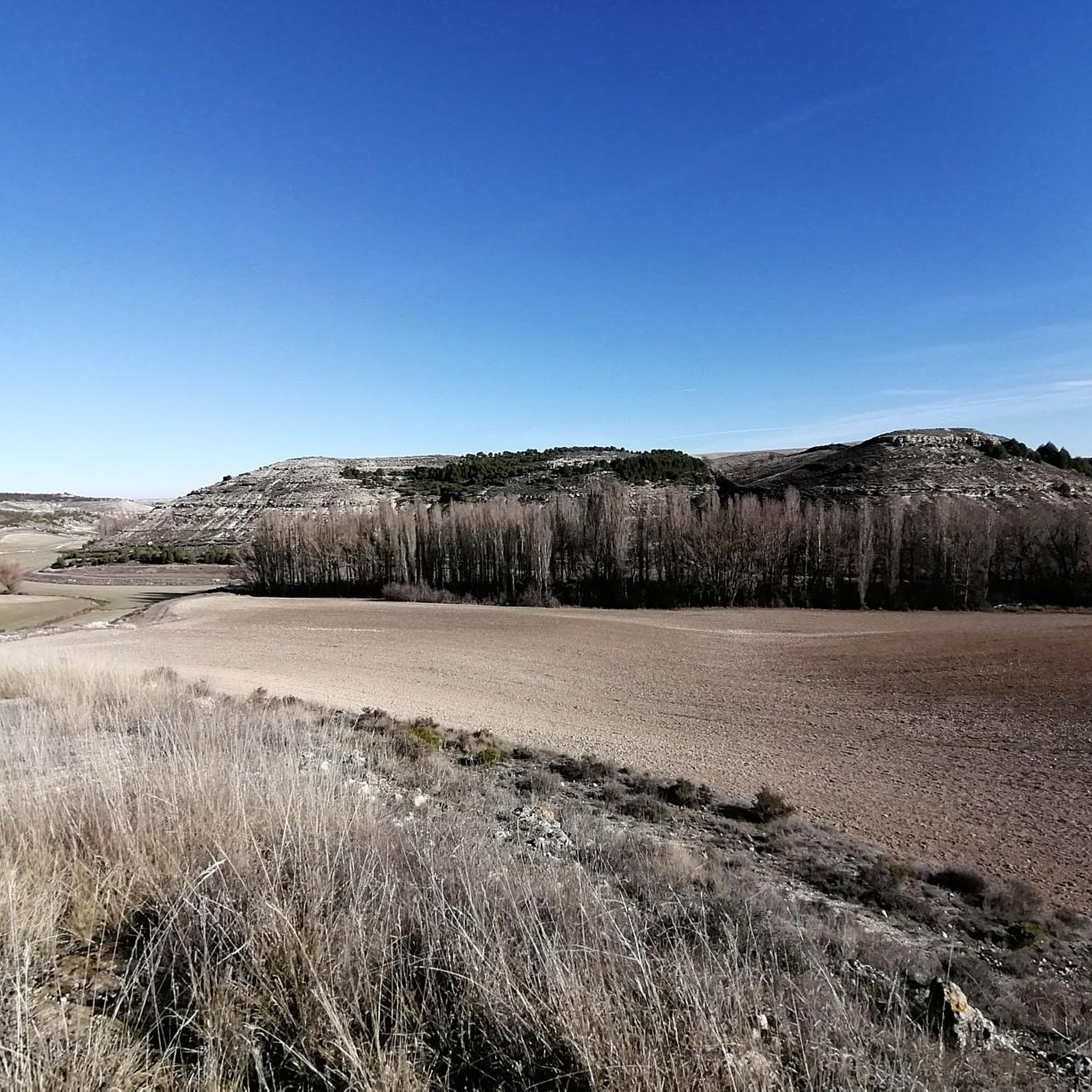

Tips from the Community

Between the town of San Miguel de Bernuy and the Villa de Fuentidueña, the Duratón River has excavated a deep canyon that is filled with the waters of the Las Vencias reservoir. The spectacular views of the cuts that the river has traced in its path are mixed with remains of an old fortress, a hermitage and a convent. There are vultures and we can see griffon vultures in their majestic flight. Among the activities that this attractive place offers us is sailing in a canoe or canoe from San Miguel de Bernuy to the end of the reservoir, enjoying the silence and delighting in the observation of nature.🌞😎
4
0
The Ruins of Los Sampedros in San Miguel de Bernuy are an interesting archaeological site. Although there are no specific historical citations, it is believed that it had a Celtiberian occupation and was then abandoned in Roman times. 😊
5
0
Fuentidueña has remains of Romanesque walls, several gates and towers. Among them, the Puerta de Alfonso VIII stands out, part of the remains of the castle that today is in ruins. The castle, located in the upper part of a large walled area, had the function of a fortress and served as a last stronghold in case of attack on the population. 😊🏰
5
0

If you like river sports and adventure, the small town of San Miguel de Bernuy is your place. A great place to explore the Duraton River by bike and on the water.
0
0

In one of the meanders of the Embalse de las Vencías, large walls are erected on both sides of the bank that are used by vultures and their young. They nest in these walls and you have to be alert not to scare them. They are seen flying through the sky, huge wings!
1
0
Spectacular town and not only because of its location, near the Embalse de las Vencías, in the middle of an area in the shape of a valley where there is an enormous castle and wall that surrounds its town. Apart from that, the construction of the houses showed us how they were in the past.
1
0
On the Río Duratón there are a couple of ruins on both sides of the bank of the same river and which can be seen from the same town of San Miguel de Bernuy.
1
0

Beautiful views of the Vencias reservoir next to the Chiringuito El rincón de Pibe, an ideal place to take a break before continuing with the route.
1
0
Frequently Asked Questions
How many hiking trails are available around Fuentesaúco de Fuentidueña?
There are 5 curated hiking routes around Fuentesaúco de Fuentidueña, offering a range of experiences from easy strolls to challenging long-distance treks. These routes explore the diverse landscapes of the Segovia Norte - Tierra de Pinares region, including the dramatic canyons of the Hoces del Río Duratón Natural Park.
What kind of terrain can I expect on hikes in this area?
The terrain around Fuentesaúco de Fuentidueña is quite varied. You can expect paths along riverbanks, through pine, oak, and poplar forests, and elevated sections offering expansive views of the Duratón River and its canyons. Some routes, especially those within the Hoces del Río Duratón Natural Park, feature dramatic gorge landscapes.
Are there any easy, family-friendly hiking options?
Yes, there are several easy options suitable for families. For instance, the Views of vulture nests loop from San Miguel de Bernuy is an easy 5.3 km route that offers a chance to spot local wildlife. Another gentle option is the Hiking loop from San Miguel de Bernuy, which is 7 km long and also rated as easy.
What are the best circular walks in the area?
Many of the trails around Fuentesaúco de Fuentidueña are circular, allowing you to start and end in the same location. Popular circular options include the challenging Las Vencías Reservoir Loop, which covers over 20 km, or the moderate Las Vencias Reservoir – Fuentidueña loop from Fuentidueña, a 7.6 km route exploring the reservoir and the historic village.
What natural features or landmarks can I see while hiking?
The region is rich in natural beauty and historical sites. You'll encounter the impressive canyons of the Hoces del Río Duratón Natural Park, known for its griffon vultures. Along the trails, you can visit the historic Castle and village of Fuentidueña, enjoy Views of vulture nests, and explore the unique Mozarabic Caves of Olmar. The Fuente de los Tres Arcos is also a local point of interest within Fuentesaúco de Fuentidueña itself.
Are there any challenging long-distance hikes available?
Yes, for experienced hikers seeking a challenge, the area offers demanding routes. The Las Vencías Reservoir Loop is a difficult 20.5 km trail with significant elevation changes, offering extensive views of the Duratón River and the Embalse de las Vencías. Another challenging option is the Las Vencias Reservoir – Ruins of San Miguel loop from Playa de La Serranilla, which is over 20 km long.
What is the best time of year to go hiking in Fuentesaúco de Fuentidueña?
Spring and autumn are generally considered the best times for hiking in this region. During these seasons, the weather is typically mild, and the natural landscapes, especially along the Duratón River, are particularly vibrant with lush greenery or rich autumnal colors. Summer can be hot, while winter may bring colder temperatures, though hiking is possible year-round.
What do other hikers enjoy most about the trails here?
The komoot community highly rates the hiking experience around Fuentesaúco de Fuentidueña. Hikers often praise the stunning natural beauty of the Hoces del Río Duratón Natural Park, the chance to spot griffon vultures, and the blend of natural landscapes with historical sites like the village of Fuentidueña. The variety of routes, from gentle river walks to more strenuous canyon explorations, is also frequently highlighted.
Are dogs allowed on the hiking trails?
Generally, dogs are welcome on most hiking trails in the region. However, when hiking within protected areas like the Hoces del Río Duratón Natural Park, it's advisable to keep dogs on a leash to protect local wildlife, especially ground-nesting birds and other animals. Always ensure you carry water for your dog and clean up after them.
Are there any historical sites to explore near the hiking routes?
Absolutely. The medieval village of Fuentidueña, with its historic center and remnants of ancient walls, is a significant historical attraction just a few kilometers from Fuentesaúco de Fuentidueña and is often incorporated into hiking loops. The Mozarabic Caves of Olmar also offer a glimpse into the region's past.
Is public transport available to reach the trailheads?
While Fuentesaúco de Fuentidueña is a rural area, public transport options might be limited directly to all trailheads. It's generally recommended to have a car to access the starting points of many hikes, especially those deeper within the natural park or connecting to smaller villages like San Miguel de Bernuy. Check local bus schedules for connections to larger towns nearby if relying on public transport.
Where can I find parking for hiking in Fuentesaúco de Fuentidueña?
Parking is typically available in the village of Fuentesaúco de Fuentidueña itself. For trails starting from other points, such as San Miguel de Bernuy or Fuentidueña, you can usually find designated parking areas or roadside parking near the main access points or village centers. It's always a good idea to arrive early during peak seasons to secure a spot.
Most popular routes around Fuentesaúco De Fuentidueña
Most popular attractions around Fuentesaúco De Fuentidueña

Get inspired with the komoot mobile app


Explore more
Browse the best Hikes in other regions.
