The best walks and hikes in the Tell Atlas
5.0
(3)
29
hikers
6
hikes
Hiking in the Tell Atlas reveals a significant mountain chain stretching over 1,500 km across northern Algeria and into neighboring countries. This region is characterized by diverse landscapes, including rugged peaks, deep valleys, and gorges, with an average elevation of about 1,500 meters. The Mediterranean climate supports lush northern slopes forested with species like Atlas cedar and cork oak, offering varied terrain for outdoor activities. Its highest summit, Lalla Khedidja, reaches 2,308 meters in the Djurdjura Range.
Best hiking trails…
Last updated: May 19, 2026
5.0
(1)
15
hikers
17.8km
05:39
720m
720m
Hard hike. Very good fitness required. Easily-accessible paths. Suitable for all skill levels.
3
hikers
20.9km
06:00
510m
510m
Hard hike. Very good fitness required. Easily-accessible paths. Suitable for all skill levels.

Sign up for free
5.0
(1)
5
hikers
5.97km
01:55
240m
240m
Easy hike. Great for any fitness level. Easily-accessible paths. Suitable for all skill levels.
3
hikers
Easy hike. Great for any fitness level. Easily-accessible paths. Suitable for all skill levels.
2
hikers
6.63km
01:50
120m
120m
Easy hike. Great for any fitness level. Easily-accessible paths. Suitable for all skill levels.
5.0
(1)
1
hikers
4.11km
01:07
60m
60m
Easy hike. Great for any fitness level. Easily-accessible paths. Suitable for all skill levels.
Our route recommendations are based on thousands of hikes, rides, and runs completed by other people on komoot.
Start today with a free account
Your next adventure awaits.
Login or Signup
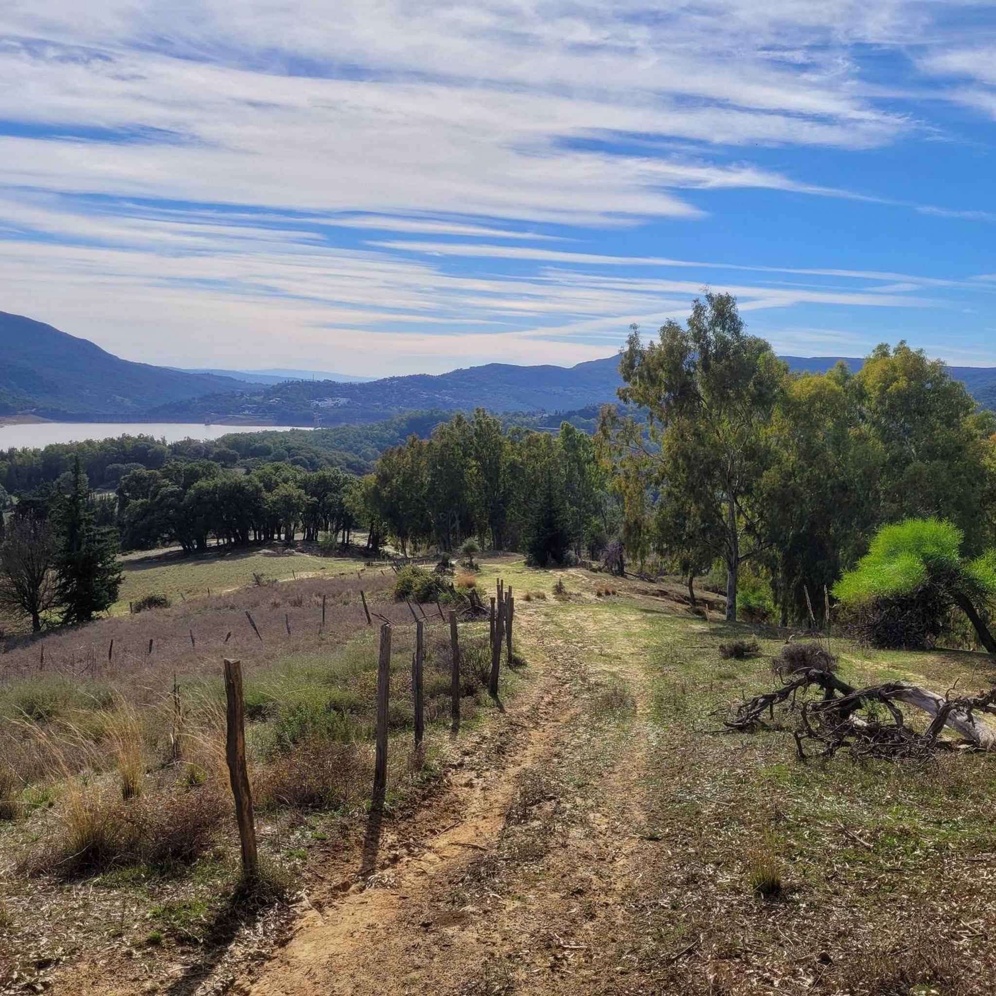
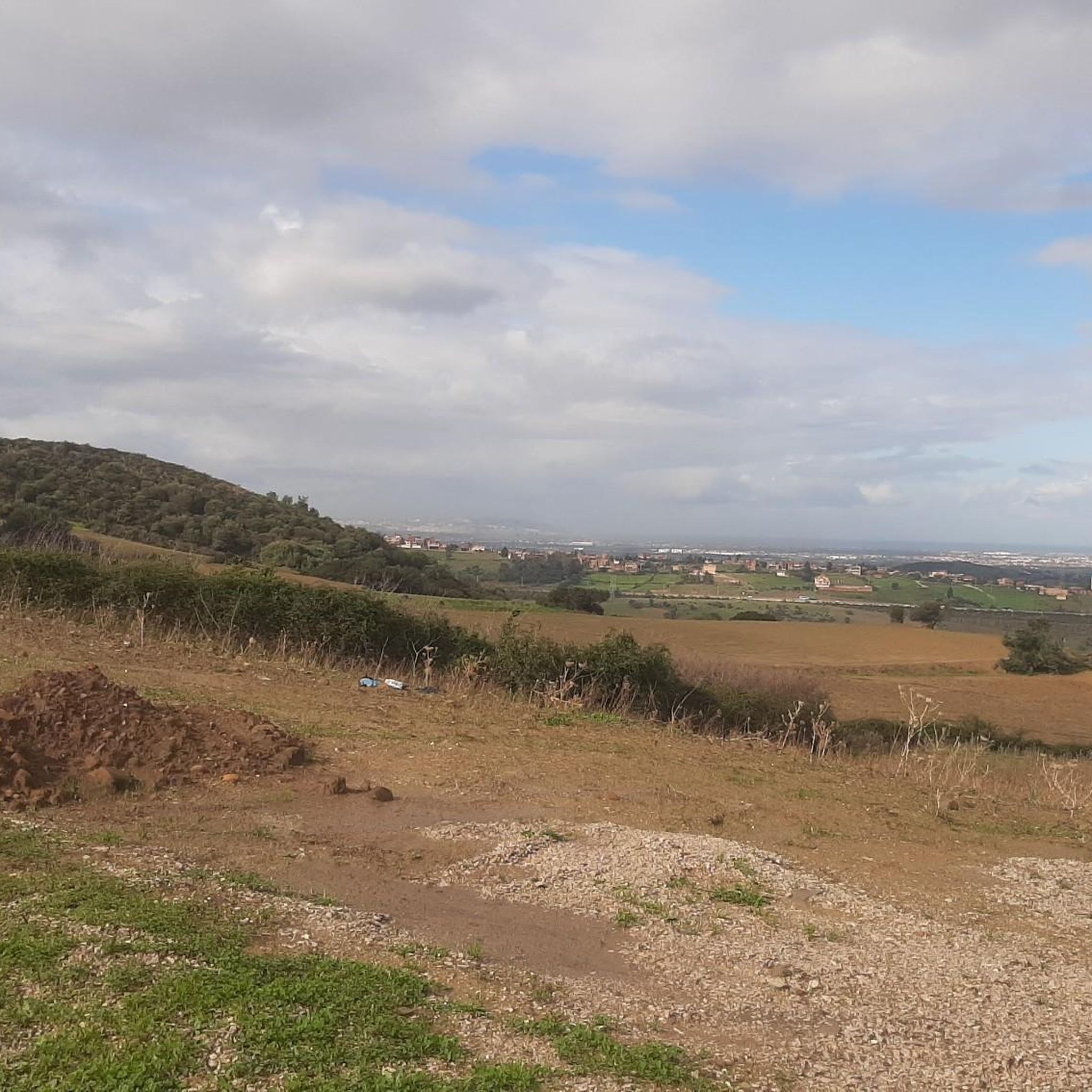
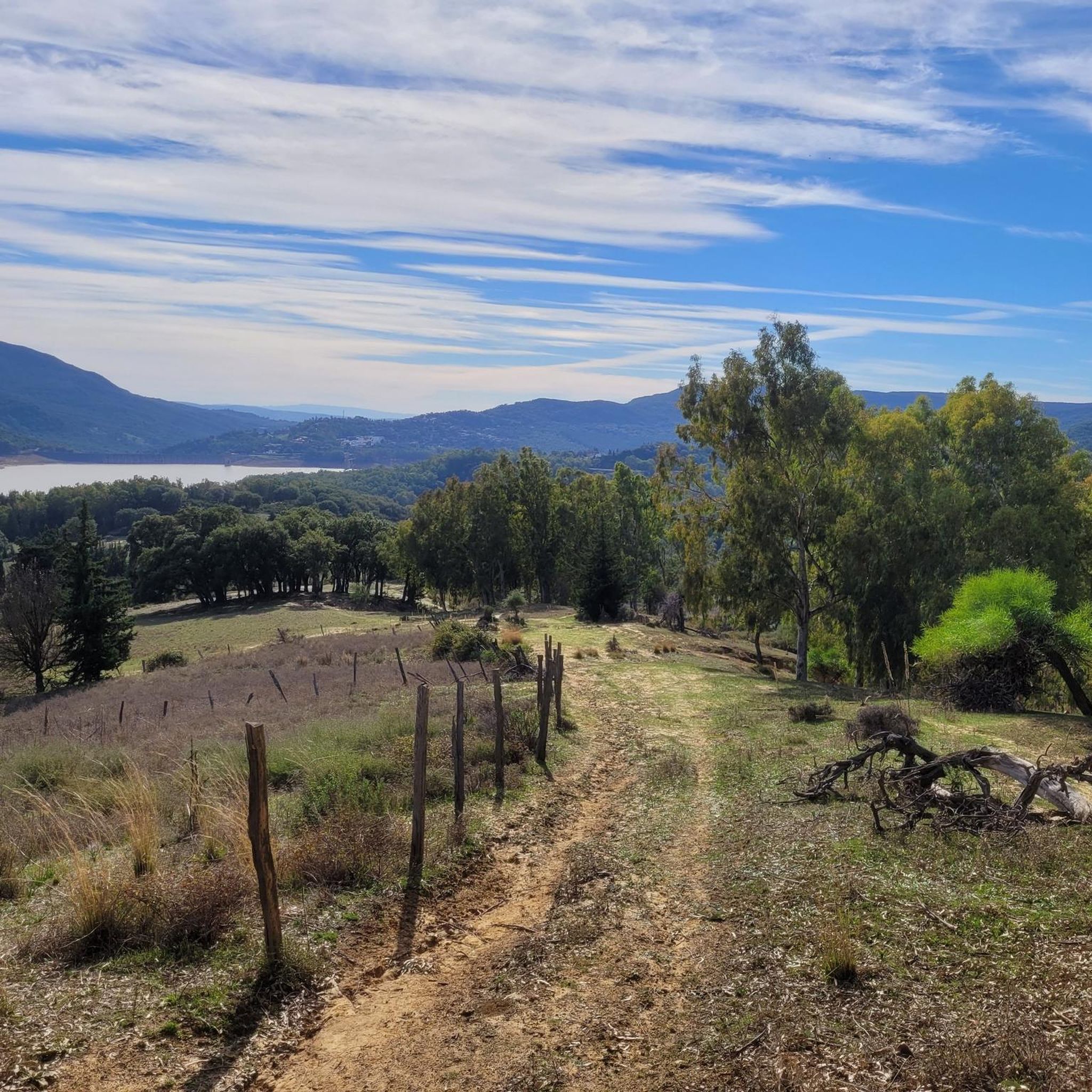
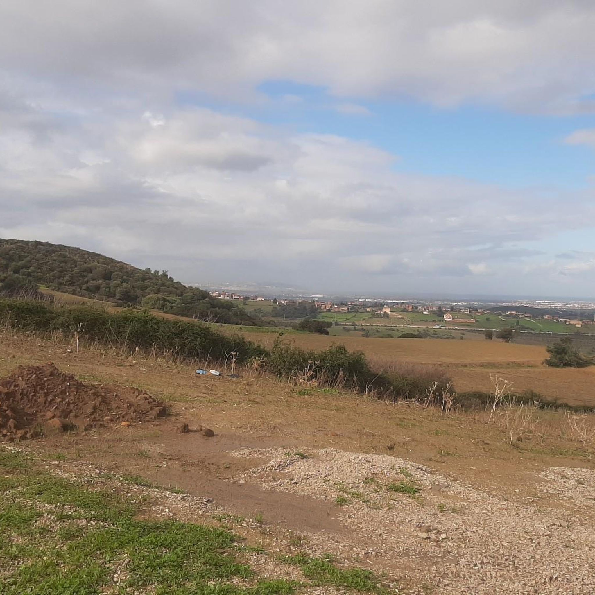
Tips from the Community

walking around the city, a nice walk
0
0
Frequently Asked Questions
How many hiking trails are available in the Tell Atlas region?
The Tell Atlas region offers a selection of over 6 hiking trails, catering to various skill levels. These include 4 easy routes and 2 more challenging, difficult trails.
What is the best time of year to go hiking in the Tell Atlas?
The Tell Atlas experiences a Mediterranean climate, meaning warm, dry summers and mild, rainy winters. Higher elevations can see snow during winter. For comfortable hiking, the spring and autumn months are generally ideal, offering pleasant temperatures and lush landscapes.
Are there easy hiking trails suitable for beginners or families in the Tell Atlas?
Yes, the Tell Atlas has several easy trails perfect for beginners or families. For example, the Cap Carbon Cliffside Pathway loop from Porte dorée is an easy 3.7-mile (6.0 km) trail with coastal views, typically completed in under two hours. Another accessible option is the Forêt de Zenadia loop from Gendarmerie Nationale unité de la sécurité routière.
What kind of terrain can I expect on hikes in the Tell Atlas?
The Tell Atlas is characterized by diverse and rugged mountainous terrain, featuring peaks, deep valleys, and gorges. You'll find lush northern slopes forested with species like Atlas cedar, pine, and cork oak, especially at lower to mid-elevations. Higher up, the landscape becomes more rugged, offering varied challenges and scenic views.
Are there any challenging hikes for experienced hikers in the Tell Atlas?
Yes, experienced hikers can find challenging routes in the Tell Atlas. The Lac Agoulmime loop from Caleih Tiɣzart شاليه الكاف is a difficult 11.0-mile (17.8 km) trail with significant elevation gain, taking over 5 hours. Another demanding option is the البيت المجهول loop from Adekar, a difficult 12.9-mile (20.8 km) path known for its extensive views and challenging terrain.
Are there any notable landmarks or attractions to see while hiking in the Tell Atlas?
The Tell Atlas region offers several points of interest. You can explore the Beni Znassen Mountains – Taghgirt, or visit historical sites like the Tabarka Fortress. The Ridge Road Near Aïn Draham also offers scenic views. For a unique natural feature, the Chiffa Gorge is a notable example of the region's beauty.
Are there circular hiking routes available in the Tell Atlas?
Yes, many of the trails in the Tell Atlas are designed as circular routes, allowing you to start and end at the same point. Examples include the Lac Agoulmime loop from Caleih Tiɣzart شاليه الكاف and the Cap Carbon Cliffside Pathway loop from Porte dorée, providing convenient options for exploration.
What do other hikers say about the trails in the Tell Atlas?
The trails in the Tell Atlas are highly rated by the komoot community, with an average score of 5.0 stars from 3 reviews. Hikers often praise the diverse terrain, from rugged peaks to forested slopes, and the opportunities for both challenging ascents and easier walks.
Do I need any special permits to hike in the Tell Atlas?
Generally, specific hiking permits are not widely required for general access to trails in the Tell Atlas. However, it's always advisable to check local regulations or with regional tourism offices if you plan to access protected areas or specific national parks within the broader Tell Atlas range, as rules can vary.
Are there places to eat or get refreshments near the trails in the Tell Atlas?
While specific cafes or restaurants directly on every trailhead are not guaranteed, many towns and villages within or near the Tell Atlas, such as Chiffa, offer amenities. It's recommended to carry sufficient water and snacks, especially on longer or more remote trails, and plan to visit towns for meals and refreshments.
Can I bring my dog on trails in the Tell Atlas?
Policies regarding dogs on trails can vary by specific location or protected area within the vast Tell Atlas range. While many natural areas may be dog-friendly, it's always best to check for any local restrictions, especially concerning leash laws or access to wildlife-sensitive zones, before heading out with your pet.
What are the parking options like for trailheads in the Tell Atlas?
Parking availability at trailheads in the Tell Atlas can vary. For popular routes or those starting near towns, you may find designated parking areas. For more remote trails, roadside parking might be the only option. It's advisable to research specific trailheads in advance or consult local guides for the best parking information.
Most popular attractions in the Tell Atlas

Get inspired with the komoot mobile app


