The best gravel rides in Sierra Prieta
3.5
(2)
28
riders
11
rides
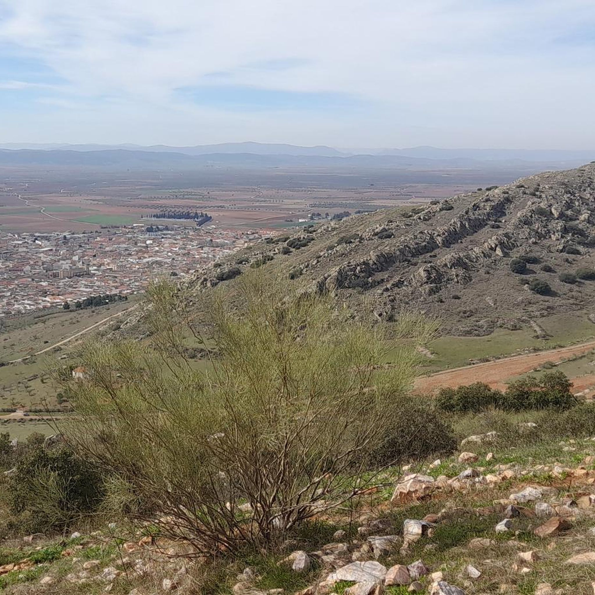
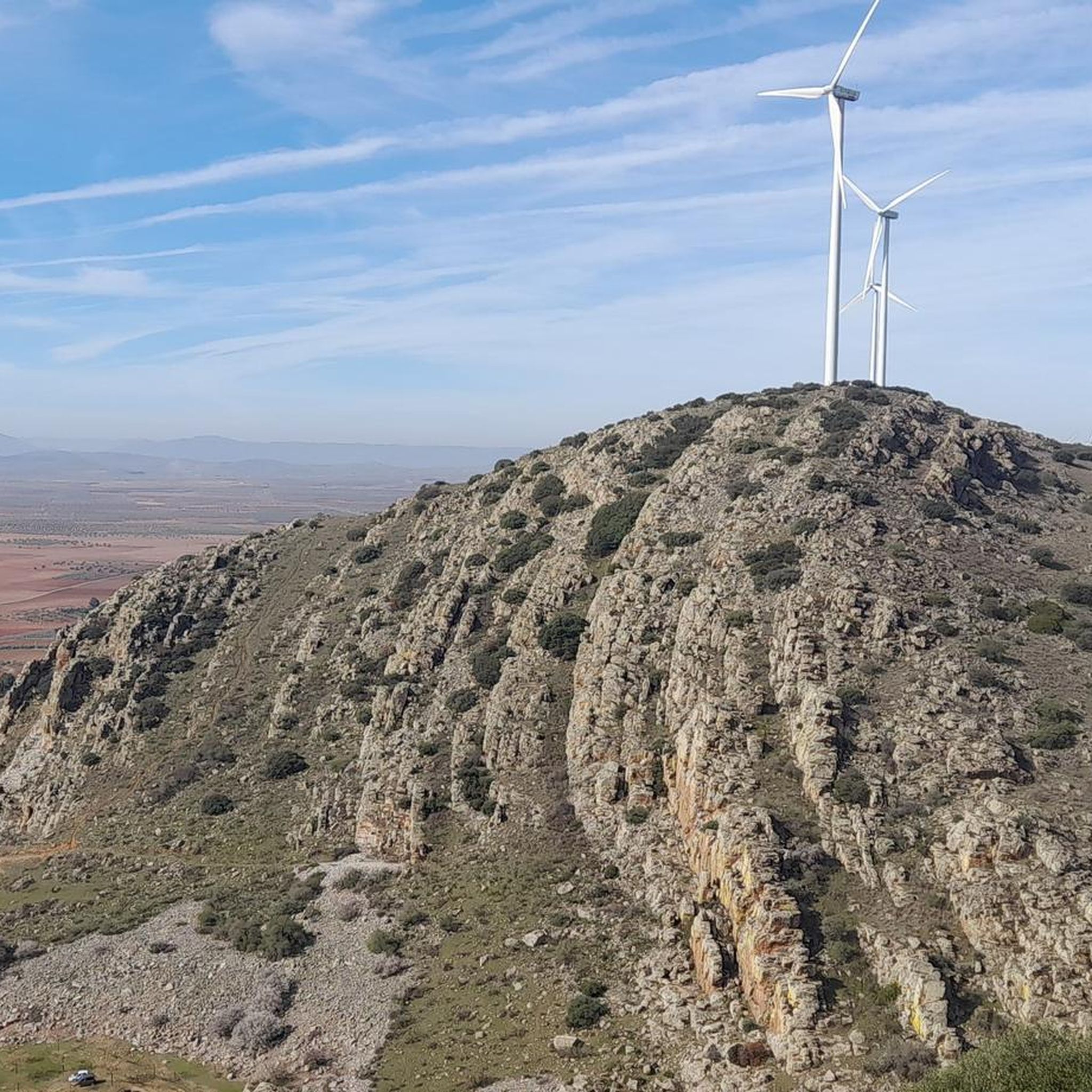
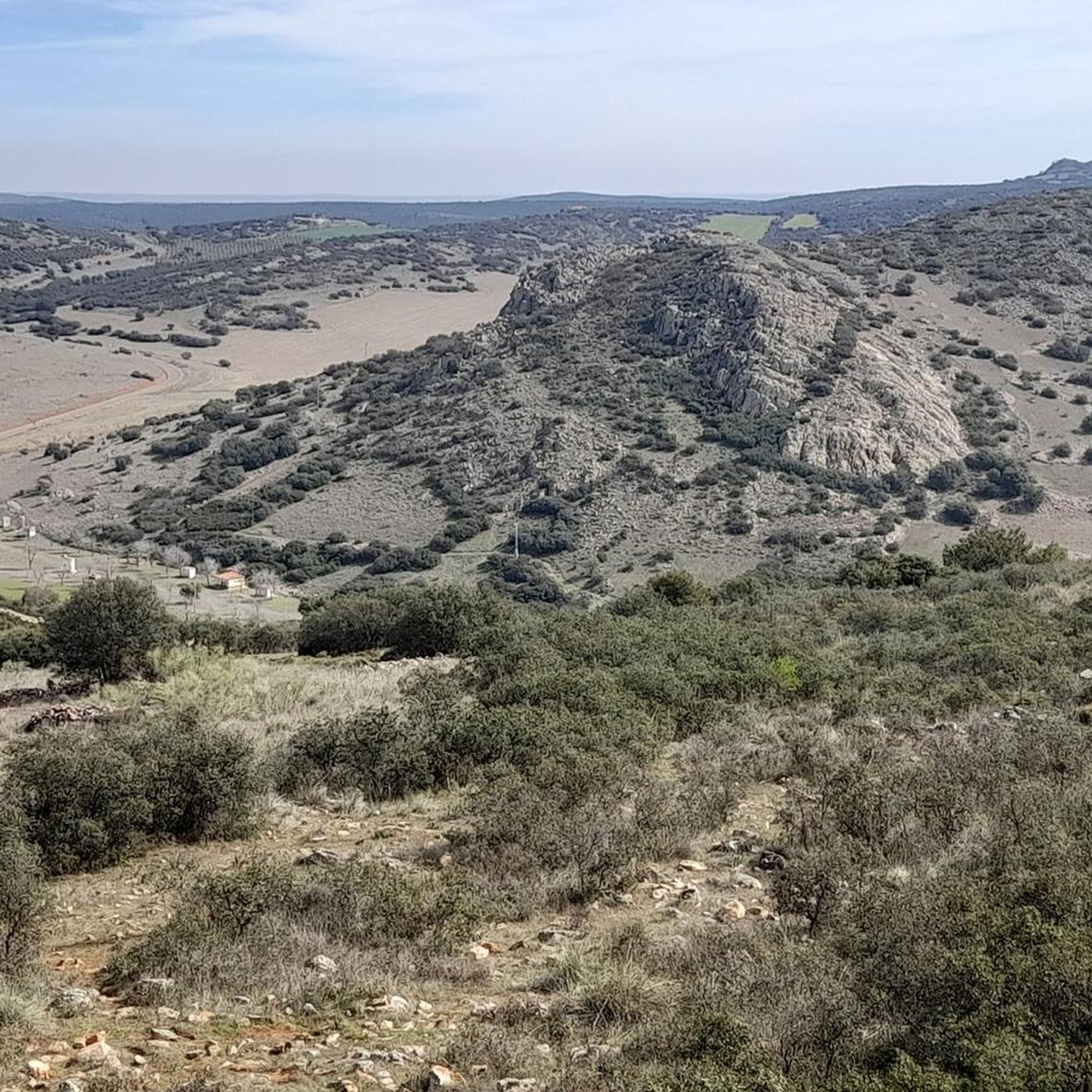
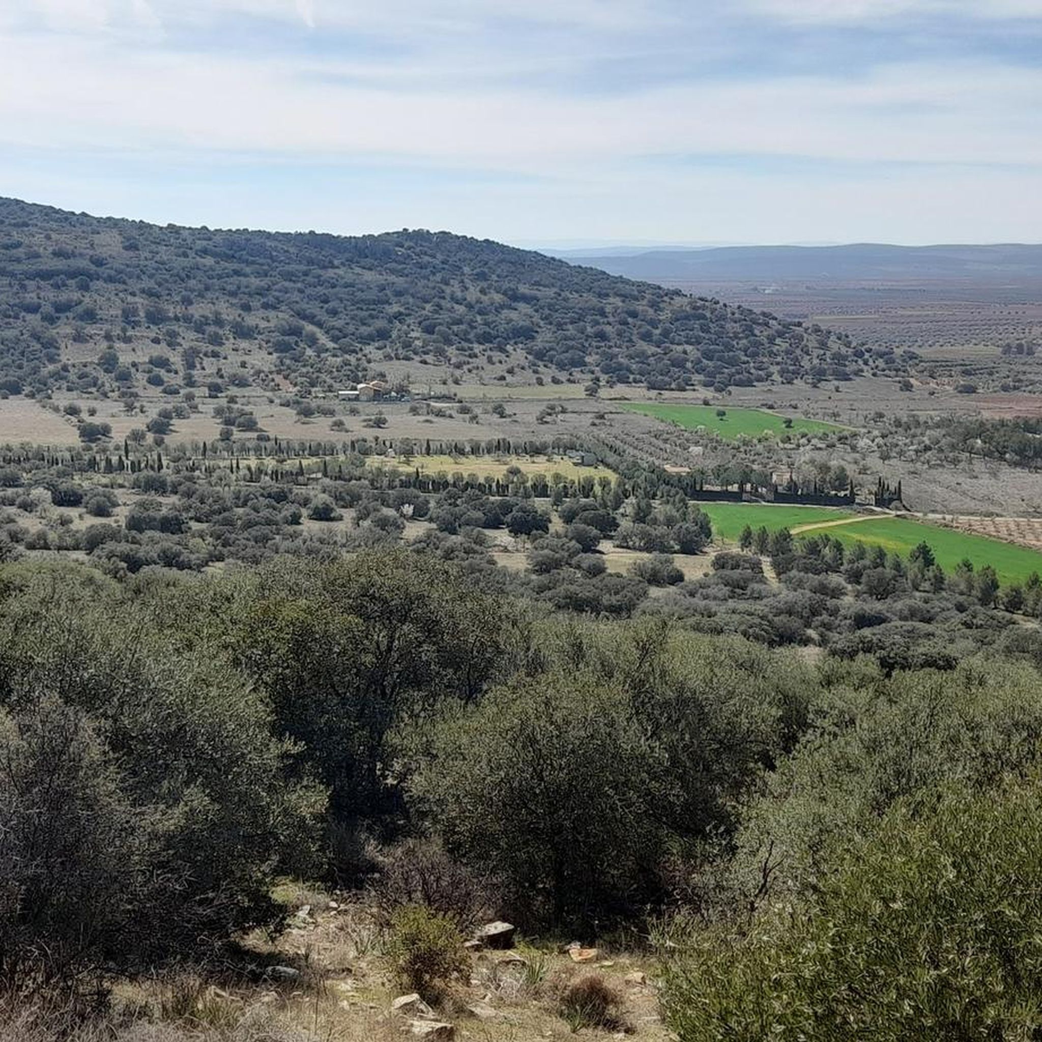
Gravel biking in Sierra Prieta offers a rugged landscape for outdoor enthusiasts, particularly west of Prescott, Arizona. The region features diverse terrain, including singletrack trails and dirt roads, suitable for a more challenging style of gravel riding. Riders can expect varied surfaces and elevation changes across the area's trail networks. The landscape transitions from ponderosa pines at higher elevations to gambrel and scrub oaks, providing a changing visual experience.
Best gravel bike trails in Sierra Prieta
- The most popular gravel bike trail is Paseo de la Estación – Pasamontes Cheese Dairy loop from Valdepeñas, a 31.8 miles (51.2 km) trail that takes 4 hours 5 minutes to complete. This moderate route features varied terrain suitable for experienced gravel bikers.
- Another top favourite among local gravel bikers is Parish of Saint Mary Magdalene – Valdepeñas loop from Valdepeñas, a moderate 27.7 miles (44.6 km) path. This route offers a mix of conditions, including sections of dirt roads and trails.
- Local gravel bikers also love the Path to Sierra del Cristo – Parish of Saint Mary Magdalene loop from Valdepeñas, a 30.1 miles (48.5 km) trail leading through varied landscapes, often completed in about 4 hours 3 minutes.
- Gravel biking in Sierra Prieta is defined by diverse terrain, including singletrack and dirt roads, and scenic views of the surrounding region. The network offers options primarily for moderate ability levels, with 12 routes available.
- The routes in Sierra Prieta are highly rated by the komoot community with an average score of 3.3 stars from a few reviews. More than 30 gravel bikers have used komoot to explore Sierra Prieta's varied terrain.
Last updated: May 11, 2026
4
riders
51.2km
04:05
390m
390m
Moderate gravel ride. Good fitness required. Mostly paved surfaces. Suitable for all skill levels.
3.0
(1)
5
riders
44.1km
03:15
220m
220m
Moderate gravel ride. Good fitness required. Mostly paved surfaces. Suitable for all skill levels.

Sign up for free
3
riders
45.2km
03:17
190m
190m
Moderate gravel ride. Good fitness required. Mostly paved surfaces. Suitable for all skill levels.
2
riders
38.3km
02:58
210m
210m
Moderate gravel ride. Good fitness required. Mostly paved surfaces. Suitable for all skill levels.
2
riders
39.9km
02:55
140m
140m
Moderate gravel ride. Good fitness required. Mostly paved surfaces. Suitable for all skill levels.
Get access to more routes and recommendations from other explorers.
Sign up for free
Already have an account?
Our route recommendations are based on thousands of hikes, rides, and runs completed by other people on komoot.
Start today with a free account
Your next adventure awaits.
Login or Signup

Tips from the Community

The Sanctuary of Our Lady of the Head is one of Torrenueva's most emblematic religious and historical sites, located north of the town center and surrounded by a traditional landscape of vineyards, olive groves, and pine forests. She is the patron saint of Torrenueva, and her veneration forms the basis of the main local festivities throughout the year.
12
0
The Paseo de la Estación in Valdepeñas is one of the city's most emblematic places, with great historical and architectural value. It originated with the arrival of the railway in 1861, as a connection between the station and the town center. For about 50 years, it was a dirt track used by carriages to transport goods. In 1912, it was developed into its current urban layout: a central paved promenade and two side lanes for vehicles. It was Valdepeñas' first and only boulevard for over a century, a key axis of urban expansion, and a venue for fairs until the 1970s.
4
0
The Valdepeñas Ornamental Fountain is located in the Plaza de España, the historic heart of the town. It is one of the city's most emblematic features and stands out for its design and symbolism: Design: A very beautiful ornamental fountain, considered a visual symbol of the square. Setting: Surrounded by historic buildings such as the Church of the Assumption and the neoclassical Town Hall. The square is characterized by traditional white and indigo arcades. In 2017, the flowerbeds were redesigned, and a permeable fixed aggregate was installed to preserve the design and reduce maintenance.
10
0
Puerta del Vino Square is a landscaped recreational area located in the center of Valdepeñas (Ciudad Real, Castilla-La Mancha). It is located in the town center, near: Church of Santo Cristo de la Misericordia (200 m northwest). Plazoleta Bernardo Balbuena (240 m northeast). Convent Square and Church of San Juan Bautista de la Concepción (approximately 280-290 m southeast). It is part of the network of squares and boulevards that bring life to the center of Valdepeñas. It is an ideal place to relax, stroll, and enjoy the local atmosphere, surrounded by bars and terraces.
10
0
It is located on 1º de Julio Avenue, near the Plaza del Convento and the San Juan Bautista de la Concepción Church. The work reflects Don Quixote's utopian idealism, his struggle for justice and human values in the face of a dehumanized society. It is considered a mature work by the artist, laden with symbolism.
10
0
This is where we find an equestrian statue of the Hidalgo, a tribute to Don Quixote. This work, more than 6 meters tall, was erected in 2006 in memoriam of Alberto Ramírez López.
10
0
The Arroyo del Peral is a stream that runs through the district of El Peral, belonging to Valdepeñas, in the province of Ciudad Real. This stream is known for its springs and for having given rise to the historic “baths” of ferruginous water. The area around the stream is very fertile, with orchard lands and dry crops. In addition, it is a popular area for second homes and recreational activities. There are hiking trails that run through this area, allowing you to enjoy nature and the landscapes it offers.
3
0
The Baños del Peral are located in Valdepeñas, in the province of Ciudad Real. Originally, this place was a bathhouse that operated from the first third of the 19th century until the beginning of the 20th century. The waters of the spring of the Baños del Peral are known for their mineral-medicinal properties. Currently, the building has been restored and converted into a Water Interpretation Centre, where you can learn about the importance of baths in the region and the properties of water. The centre has exhibition rooms that recall how people used to go to this place to seek comfort and solutions to muscular or mental ailments.
6
0
Frequently Asked Questions
How many gravel bike trails are available in Sierra Prieta?
Sierra Prieta offers 12 gravel biking routes, all rated as moderate difficulty, providing a consistent challenge for riders. These routes are well-suited for those looking for a rugged and engaging experience.
What kind of terrain can I expect on gravel bike trails in Sierra Prieta?
You can expect a diverse and rugged landscape, including singletrack sections like the Sierra Prieta Multi Trail (#366), as well as various 'closed roads' and 'dirt roads'. This mix provides varied surfaces and elevation changes, catering to a more challenging style of gravel riding.
Are there any loop routes for gravel biking in Sierra Prieta?
Yes, many of the gravel routes in Sierra Prieta are designed as loops. For example, you can explore the Paseo de la Estación – Pasamontes Cheese Dairy loop from Valdepeñas or the Parish of Saint Mary Magdalene – Valdepeñas loop from Valdepeñas, both offering circular journeys through the region's varied terrain.
What are the typical distances and durations for gravel bike routes in Sierra Prieta?
The gravel routes in Sierra Prieta generally range from about 24 to 32 miles (38 to 51 km) in length. Most can be completed in approximately 3.5 to 4 hours, depending on your pace and the specific route chosen, such as the Path to Sierra del Cristo – Parish of Saint Mary Magdalene loop from Valdepeñas.
What scenic views can I enjoy while gravel biking in Sierra Prieta?
Riders can enjoy picturesque vistas of the surrounding region, including the city of Prescott, the distinctive volcanic plug of Thumb Butte, the Bradshaw Mountains, and Goldwater Lake. The landscape itself transitions from ponderosa pines at higher elevations to gambrel and scrub oaks, offering a changing visual experience.
Are there any prominent natural landmarks or features to look out for?
Absolutely. Notable landmarks include Granite Mountain, a significant recreation site, and Thumb Butte, a prominent volcanic plug that serves as a key landmark. You might also encounter Mount Francis and Quartz Mountain, which offers 360-degree views from its unique bed of quartz.
What do other gravel bikers say about the routes in Sierra Prieta?
The routes in Sierra Prieta are highly rated by the komoot community, with an average score of 3.3 stars. Many of the 33 visitors who have explored the area praise the diverse terrain and the challenging yet rewarding nature of the trails.
Are the gravel trails in Sierra Prieta suitable for beginners or advanced riders?
The gravel trails in Sierra Prieta are primarily rated as moderate difficulty. While they offer a rugged experience suitable for experienced gravel bikers, beginners with a good fitness level and some off-road experience might find certain sections manageable. There are no routes specifically classified as easy or difficult, suggesting a consistent level of challenge.
How can I connect to other trail networks from Sierra Prieta?
The Sierra Prieta trail network offers good connectivity. You can link up with other routes from areas like Copper Basin or Thumb Butte Roads. Additionally, County 10 provides a route through the lower elevation Skull Valley, allowing for longer and more diverse rides.
What kind of natural environment will I experience on the trails?
The natural environment is quite varied. At higher elevations, you'll ride through ponderosa pines, which gradually transition to gambrel and scrub oaks as you descend. This provides a dynamic and visually engaging experience throughout your ride.
Are there any routes that start from Valdepeñas?
Yes, several popular routes start and end in Valdepeñas, making it a convenient base for your gravel biking adventures. Examples include the Valdepeñas – Parish of Saint Mary Magdalene loop from Valdepeñas and the Paseo de la Estación – Valdepeñas loop from Valdepeñas.
Most popular routes in Sierra Prieta

Get inspired with the komoot mobile app


Explore more
Browse the best Gravel rides in other regions.
