The best walks and hikes around Area A (Hudson Bay Mountain)
4.4
(9)
91
hikers
7
hikes
Hiking around Area A (Hudson Bay Mountain) offers diverse landscapes ranging from accessible alpine and sub-alpine environments to dense forests and valleys. The region is characterized by significant elevation changes, leading to expansive views of the Bulkley Valley and Telkwa Mountains. Notable natural features include the snow-fed Crater Lake, the distinct Red Valley with its unique rock coloration, and the scenic Glacier Gulch. These varied terrains provide a comprehensive outdoor experience for hikers.
Best hiking trails around Area A (Hudson Bay Mountain)
- The most popular hiking route is Twin Falls Trail and Glacier Gulch Trail, a 2.6 miles (4.3 km) trail that takes 2 hours 21 minutes to complete. This route features impressive waterfalls and a scenic gulch.
- Another top favourite among local hikers is Broken Axe Loop, a moderate 7.1 miles (11.4 km) path. It traverses varied terrain, including forested sections and open areas with mountain views.
- Local hikers also love the Crater Lake loop from Panorama Lodge, a 4.0 miles (6.4 km) trail leading through alpine meadows to the picturesque Crater Lake, often completed in about 2 hours 8 minutes.
- Hiking around Area A (Hudson Bay Mountain) is defined by alpine environments, sub-alpine meadows, and forested valleys. The network offers options for different ability levels, from easy walks to more challenging ascents.
- The routes in Area A (Hudson Bay Mountain) are highly rated by the komoot community with an average score of 4.4 stars from 9 reviews. More than 80 hikers have used komoot to explore Area A (Hudson Bay Mountain)'s varied terrain.
Last updated: August 2, 2026
5.0
(4)
51
hikers
5.85km
01:57
300m
300m
Moderate hike. Good fitness required. Easily-accessible paths. Suitable for all skill levels.
1
hikers
4.25km
02:21
610m
610m
Moderate hike. Good fitness required. Easily-accessible paths. Suitable for all skill levels.

Sign up for free
11.4km
03:41
500m
500m
Hike the moderate 7.1-mile Broken Axe Loop in The Bluff Recreation Site, featuring the Seymour Lake Trail and Broken Axe Loop Viewpoint.
4.2
(6)
28
hikers
5.32km
01:42
230m
230m
Easy hike. Great for any fitness level. Easily-accessible paths. Suitable for all skill levels.
10
hikers
Easy hike. Great for any fitness level. Easily-accessible paths. Suitable for all skill levels.
Get access to more routes and recommendations from other explorers.
Sign up for free
Already have an account?
Our route recommendations are based on thousands of hikes, rides, and runs completed by other people on komoot.
Start today with a free account
Your next adventure awaits.
Login or Signup


Tips from the Community

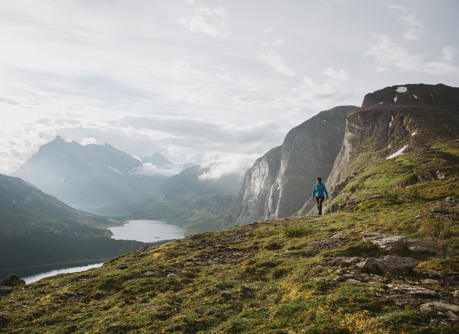
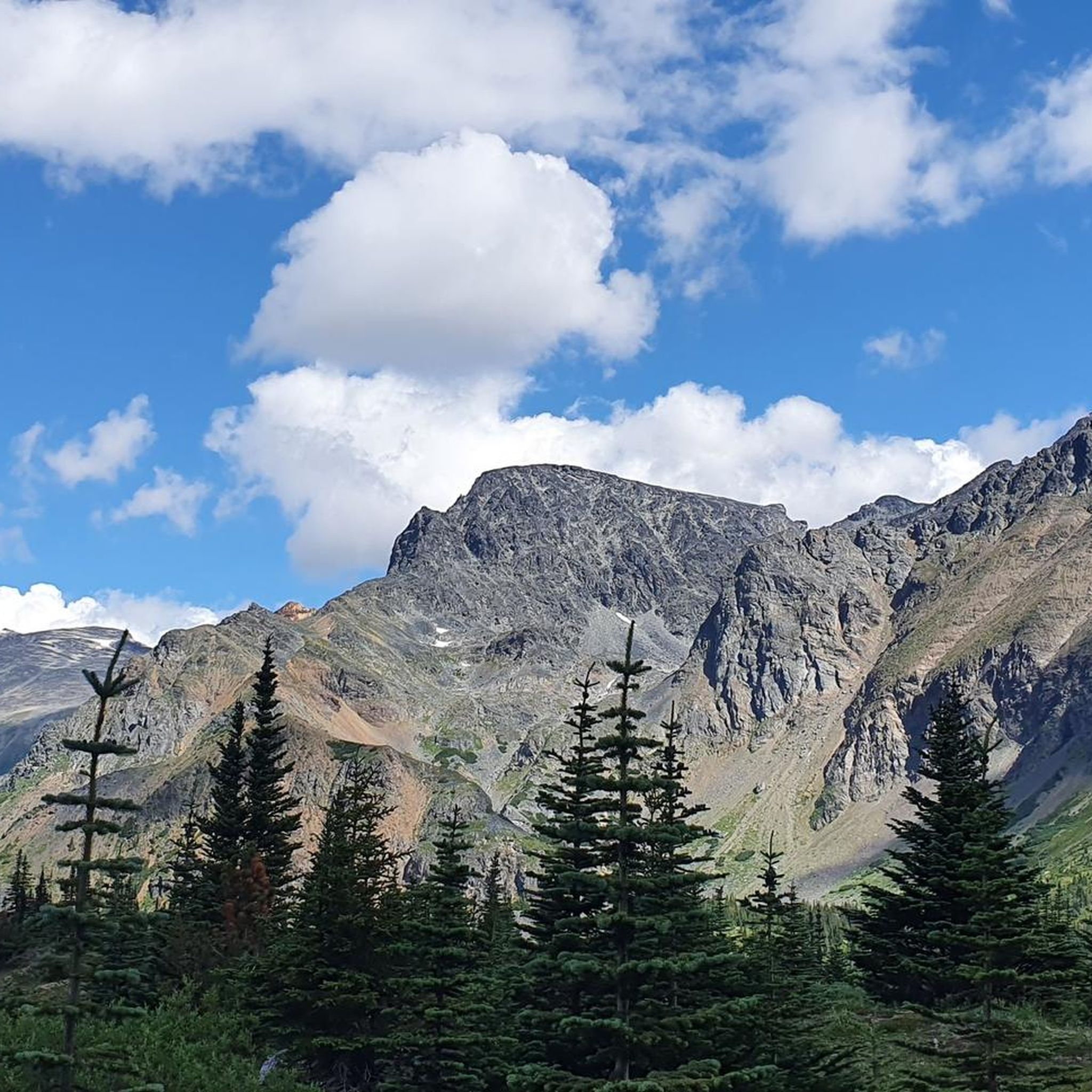
Rising above Smithers, Hudson Bay Mountain dominates the skyline and is a constant reference point as you move through the area. The lower slopes are forested, but higher up it opens into subalpine and alpine terrain with wide views across the Bulkley Valley. In winter, it’s home to a local ski area, while in summer the network of trails and access roads are used for hiking and biking. Weather can shift quickly at elevation here, so conditions higher up often differ from town.
0
0
Crater Lake sits in an open alpine basin surrounded by rocky slopes, with no dense tree cover around the shoreline. The water is clear and fed by snowmelt, so even in summer it stays very cold. Early in the season, you’ll often still see snow patches around the lake and in the surrounding meadows. There’s plenty of space along the shoreline to stop, but no facilities or defined access points.
0
0
The trail starts with a short, steady climb through forest before quickly breaking out above treeline into open subalpine terrain. From there, it’s a more gradual ascent across wide meadows, especially colourful in early summer with wildflowers. The path is clear but can get muddy in wet conditions, with a few small creek crossings along the way. It’s not a long hike to the lake, but the initial climb is enough to feel it.
0
0

The Broken Axe Loop is a forested trail that has steep climbs, rocky terrain, and a surprisingly good viewpoint. The viewpoint is a rocky bluff that opens above the trees with a clear view across the valley.
0
0
The Bluff Recreation Site is a small, forested area with great views of the Bulkley Valley. It is centered around “The Bluff” with a network of trails and access to Seymour Lake. This area is popular with both mountain bikers and hikers.
0
0
Seymour Lake Trail is a family-friendly loop that circles the shoreline of Seymour Lake, with thick woods of spruce and pine, calm water, and good chances to spot birds, beaver, or deer. The trail is easy to follow and well-marked, and there are a few short boardwalks over wet sections.
0
0

The Glacier Gulch Trail leads steeply through scree fields up to a glacier.
0
0

Two waterfalls rush here side by side over the steep wall. From the parking lot a trail leads to a viewing platform with a bank from where you can see the waterfalls.
1
0
Frequently Asked Questions
How many hiking trails are there around Area A (Hudson Bay Mountain)?
There are over 8 hiking trails available around Area A (Hudson Bay Mountain), offering a diverse range of experiences. These include 3 easy routes, 4 moderate routes, and 1 more challenging trail, catering to various skill levels.
What kind of hiking trails can I expect on Hudson Bay Mountain?
Hudson Bay Mountain offers a diverse range of trails, from accessible alpine and sub-alpine environments with expansive views to routes winding through dense forests, bluffs, and valleys. You'll find paths suitable for easy walks and more challenging ascents, often leading to stunning viewpoints.
Are there any notable natural features to see while hiking on Hudson Bay Mountain?
Yes, hikers can explore several prominent natural features. The snow-fed Crater Lake is a picturesque cirque lake, accessible via trails like the Crater Lake loop from Panorama Lodge. You can also discover the unique 'Red Valley' on the mountain's backside, known for its striking red-purple rocks, and the scenic Glacier Gulch, which is part of the Twin Falls Trail and Glacier Gulch Trail.
Are there any family-friendly hiking options on Hudson Bay Mountain?
Yes, Hudson Bay Mountain has several trails suitable for families. The lower slopes offer easier paths, and the ski area often provides summer chairlift access to higher elevations, making alpine areas more accessible. An example of an easy route is the Twin Falls loop from Twin Falls Recreation Site.
Can I bring my dog on the hiking trails?
While specific regulations can vary, many trails in the Hudson Bay Mountain area are generally dog-friendly. It's always recommended to keep dogs on a leash and practice Leave No Trace principles to protect wildlife and ensure a pleasant experience for all hikers.
Are there any circular hiking routes available?
Yes, there are several circular routes. A popular option is the Broken Axe Loop, which traverses varied terrain including forested sections and open areas with mountain views. Another is the Crater Lake loop from Panorama Lodge, leading through alpine meadows.
What is the best time of year to hike Hudson Bay Mountain?
The best time for hiking is typically during the summer months, from late spring to early autumn, when trails are clear of snow and wildflowers are abundant in the sub-alpine meadows. However, even in summer, higher elevations can still present winter-like conditions, so checking local conditions is advisable. The mountain also offers winter activities like snowshoeing.
What kind of wildlife might I encounter on the trails?
Hikers often spot hoary marmots in the alpine regions. With luck, mountain goats can be seen on higher slopes, and willow ptarmigan are present in the prairie areas. Always maintain a respectful distance from wildlife.
Are there any unique or surprising features along the trails?
Yes, a truly unique and whimsical feature is a functioning piano located in the alpine along the trail to Crater Lake. It's protected by a tarp and invites hikers to play a tune amidst the mountain scenery.
What do other hikers enjoy most about hiking in Area A (Hudson Bay Mountain)?
The area is highly rated by the komoot community, with an average score of 4.4 stars from 9 reviews. Reviewers often praise the diverse landscapes, from alpine meadows to forested valleys, and the stunning panoramic views of Smithers and the Bulkley Valley.
Where can I find more information about hiking in the Smithers area?
For additional information on hiking and other outdoor activities in the broader Smithers area, you can visit the local tourism website: tourismsmithers.com.
Are there any trails with waterfalls?
Yes, the Twin Falls Trail and Glacier Gulch Trail is known for its impressive waterfalls and scenic gulch, offering a rewarding experience for those seeking water features.
Most popular routes around Area A (Hudson Bay Mountain)

Get inspired with the komoot mobile app


Explore more
Browse the best Hikes in other regions.
