The best cycling routes around Area B (Lower Columbia/Old Glory)
4.5
(2)
28
riders
3
rides
Touring cycling routes around Area B (Lower Columbia/Old Glory) traverse a landscape characterized by mountains, dense forests, and scenic river valleys. The region features varied terrain, from gradual rail trails to routes with significant elevation gain. The Columbia River is a prominent natural feature, offering scenic vistas along many paths.
Best touring cycling routes around Area B (Lower Columbia/Old Glory)
- The most popular touring cycling route is View of the Columbia River – Old Railway Trestle Bridge loop from Hugh…
Last updated: May 20, 2026
4.5
(2)
10
riders
Moderate bike ride. Good fitness required. Mostly paved surfaces. Suitable for all skill levels.
5
riders
Hard bike ride. Very good fitness required. Mostly paved surfaces. Suitable for all skill levels.

Sign up for free
7
riders
104km
06:57
1,550m
1,550m
Hard bike ride. Very good fitness required. Mostly paved surfaces. Suitable for all skill levels.
6
riders
Hard bike ride. Very good fitness required. Mostly paved surfaces. Suitable for all skill levels.
Our route recommendations are based on thousands of hikes, rides, and runs completed by other people on komoot.
Start today with a free account
Your next adventure awaits.
Login or Signup
Popular around Area B (Lower Columbia/Old Glory)


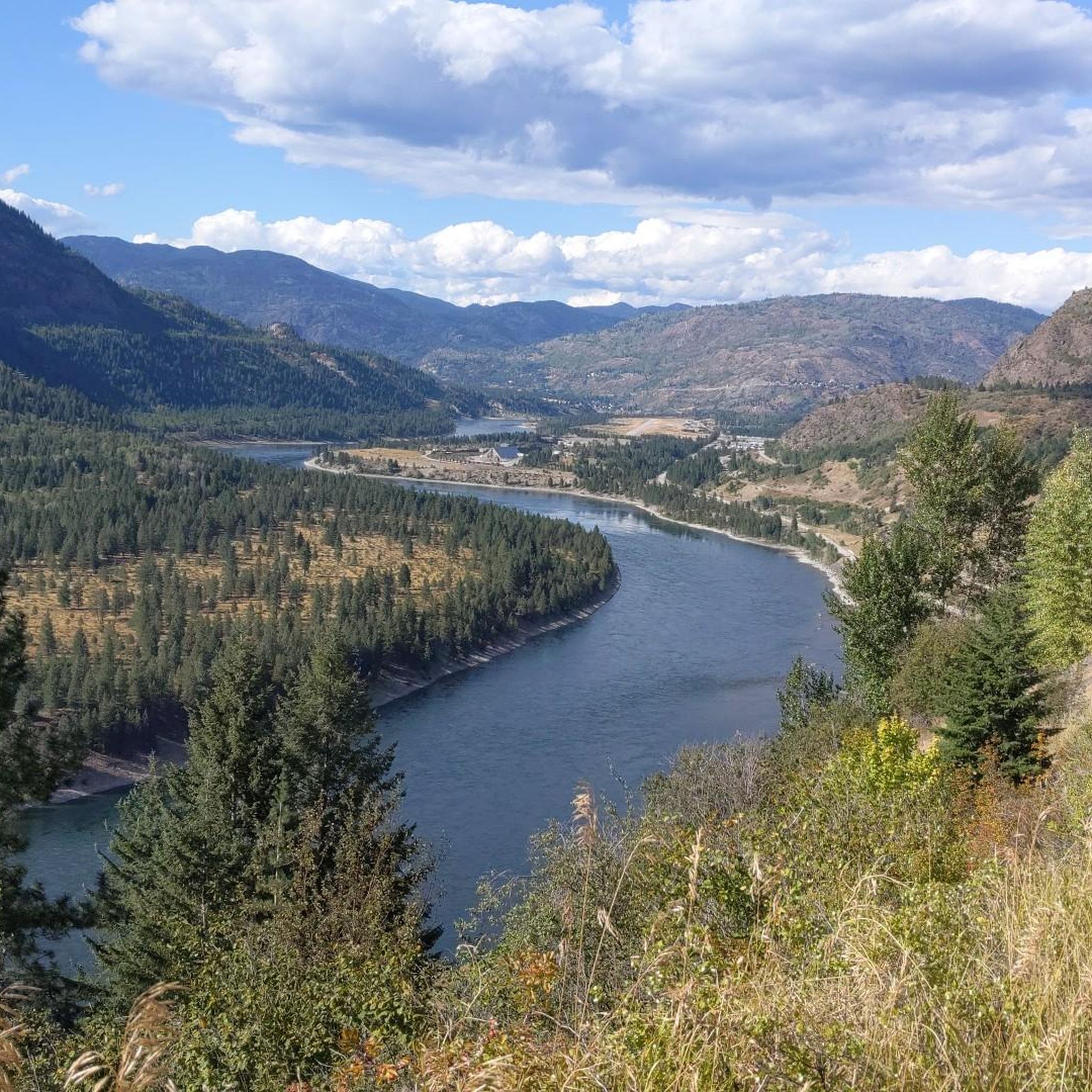
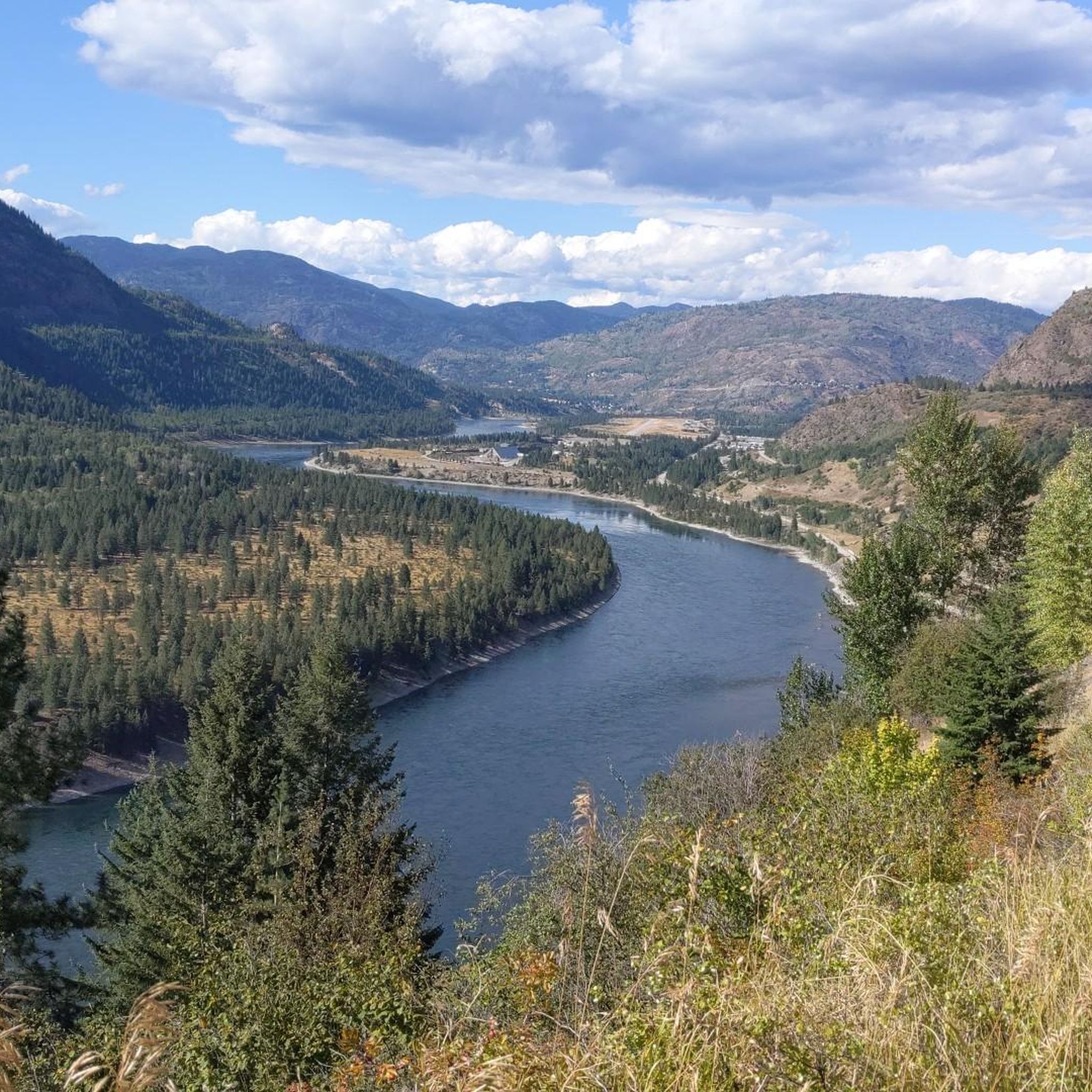
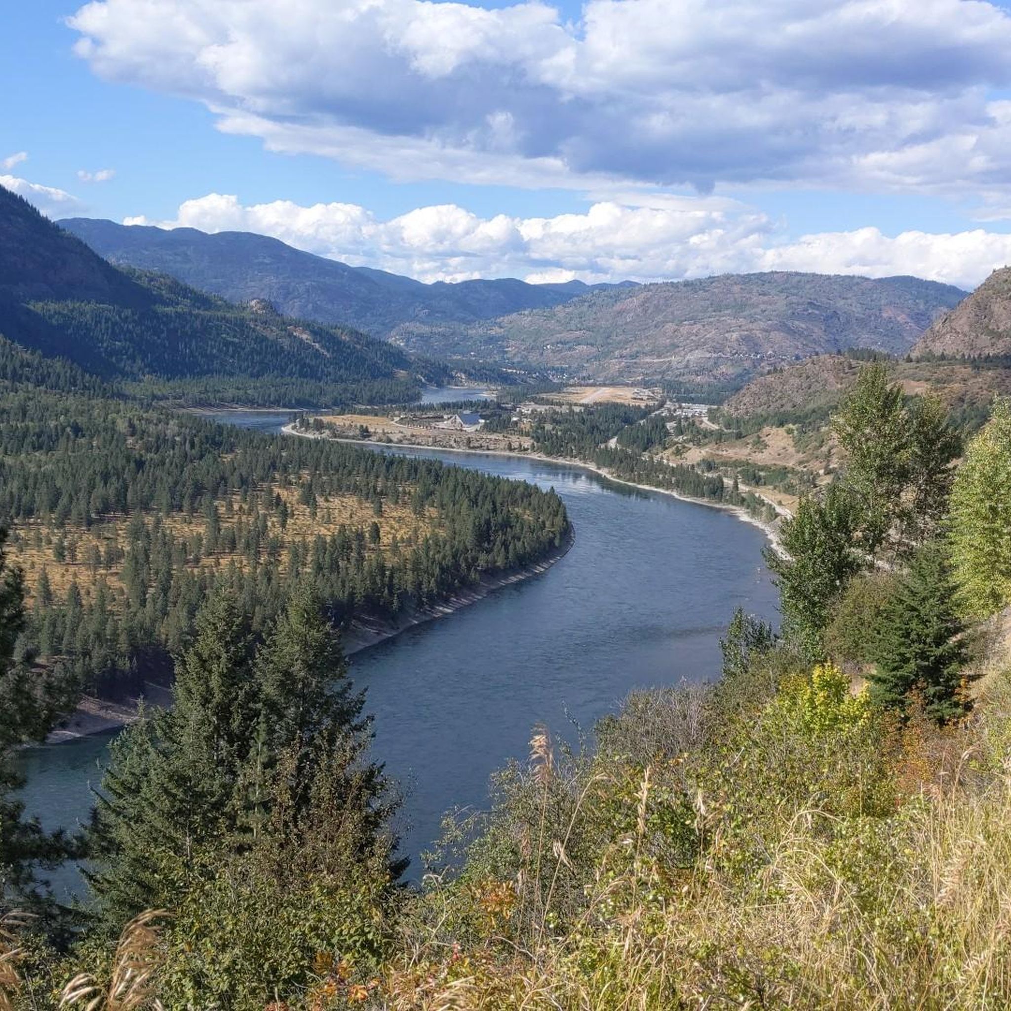
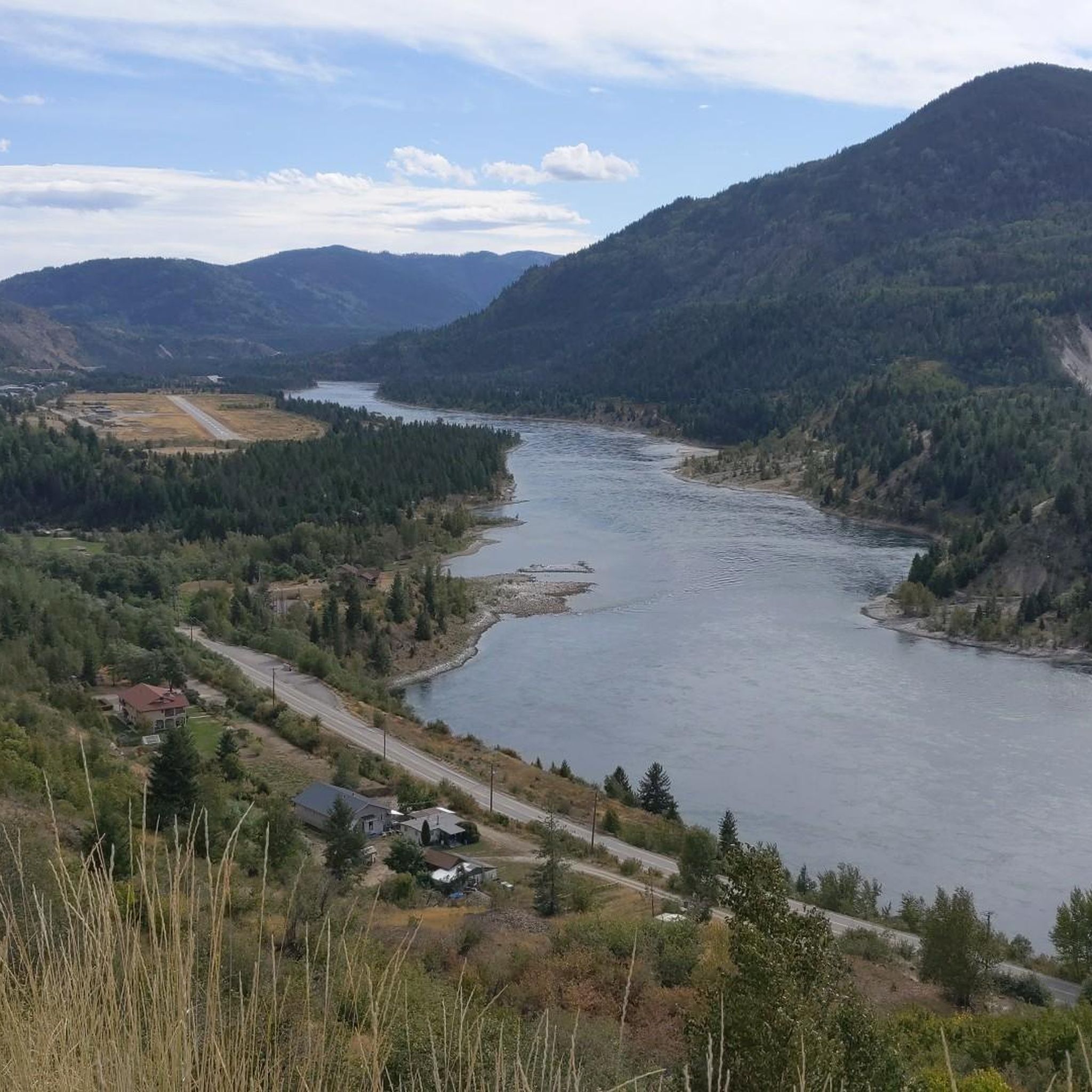
Other adventures around Area B (Lower Columbia/Old Glory)


Tips from the Community


A quiet, scenic (but hilly) alternative to the highway.
0
0

Another station turned shelter. A small creek ran next to this one, take the opportunity to refill water.
0
0
Looking back on the next trestle we crossed while climbing the C&W towards Christina Lake
0
0
Old rail station turned shelter on the C&W
0
0
Frequently Asked Questions
How many touring cycling routes are available in Area B (Lower Columbia/Old Glory)?
There are several touring cycling routes in Area B (Lower Columbia/Old Glory) for you to explore. The komoot community has mapped out over 3 routes, offering a variety of experiences from moderate to difficult.
Are there any easy or family-friendly touring cycling routes in the Lower Columbia area?
While many routes in the immediate guide are moderate to difficult, the broader Kootenay Boundary region, including the Lower Columbia, is known for its accessible rail trails. The Columbia and Western Rail Trail, for instance, offers a unique cycling experience on a disused railway line, providing gradual grades suitable for a more relaxed ride. For a moderate loop, consider the View of the Columbia River – Old Railway Trestle Bridge loop from Hugh Keenleyside Dam.
What kind of scenery can I expect on touring cycling routes in Area B?
Touring cycling in Area B (Lower Columbia/Old Glory) offers diverse and appealing scenery. You'll traverse majestic mountains, lush forests, and scenic river valleys, with the Columbia River being a prominent natural feature providing many scenic vistas. Routes often feature expansive views of the Columbia River valley and pass by historical elements like old railway trestle bridges.
Are there any challenging touring cycling routes for experienced riders?
Yes, Area B offers several challenging routes. For experienced touring cyclists, options like the Old Railway Trestle Bridge – View of the Columbia River loop from West Kootenay Regional Airport present substantial elevation gain over 128 km. Another difficult option is the Frog Peak Cafe – Official Start of the Route loop from West Kootenay Regional Airport, which covers over 104 km with significant climbs.
What are some interesting landmarks or attractions to see along the touring cycling routes?
Along your touring cycling routes, you can encounter several points of interest. The Columbia and Western Rail Trail is a significant attraction itself. You might also pass by the historic Brilliant Suspension Bridge or the Shields Station Site. The routes often offer views of settlements like Northport and Castlegar on the Columbia River.
What is the best time of year for touring cycling in Area B (Lower Columbia/Old Glory)?
The Kootenay Boundary region, including Area B, is generally recognized for its cycling amenities from spring through fall. While specific recommendations for Area B are not available, the presence of vibrant wildflowers on Old Glory Mountain suggests spring and early summer are beautiful. Always check local weather conditions before heading out.
Are there circular touring cycling routes available?
Yes, all the featured touring cycling routes in this guide are designed as loops. For example, you can enjoy the moderate View of the Columbia River – Old Railway Trestle Bridge loop from Hugh Keenleyside Dam, or for a more challenging ride, the Old Railway Trestle Bridge – View of the Columbia River loop from Arrow Lakes Generating Station.
What do other touring cyclists say about the routes in Area B (Lower Columbia/Old Glory)?
The touring cycling routes in Area B (Lower Columbia/Old Glory) are highly rated by the komoot community, with an average score of 4.5 stars from over 2 reviews. Cyclists often praise the varied terrain, from river valleys to mountain backdrops, and the unique experience of riding along former rail lines.
Are there any specific considerations for cycling on rail trails in the region?
When cycling on rail trails like the Columbia and Western Rail Trail, it's advisable to carry a flashlight, as some sections include tunnels. These trails are generally well-maintained by committees and volunteers, often featuring camp and picnic areas at former railway station sites, which can be great for bikepacking.
Is public transport available to access touring cycling routes in Area B?
While specific public transport links directly to trailheads are not detailed, the region encompasses communities like Castlegar, which hosts the West Kootenay Regional Airport. This suggests potential access points, but it's recommended to check local transit options or consider starting points that offer parking for cyclists.
What should I wear for touring biking in Area B, especially in spring?
Given the diverse landscape with mountains and river valleys, weather can be variable. In spring, it's wise to dress in layers to adapt to changing temperatures. Consider waterproof or water-resistant outer layers, as well as breathable base layers. Always check the forecast before your ride.
Most popular routes around Area B (Lower Columbia/Old Glory)
Most popular attractions around Area B (Lower Columbia/Old Glory)

Get inspired with the komoot mobile app


Explore more
Browse the best Cycling routes in other regions.
