The best walks and hikes around Area B (Quatsino Sound/Cape Scott)
4.9
(25)
255
hikers
6
hikes
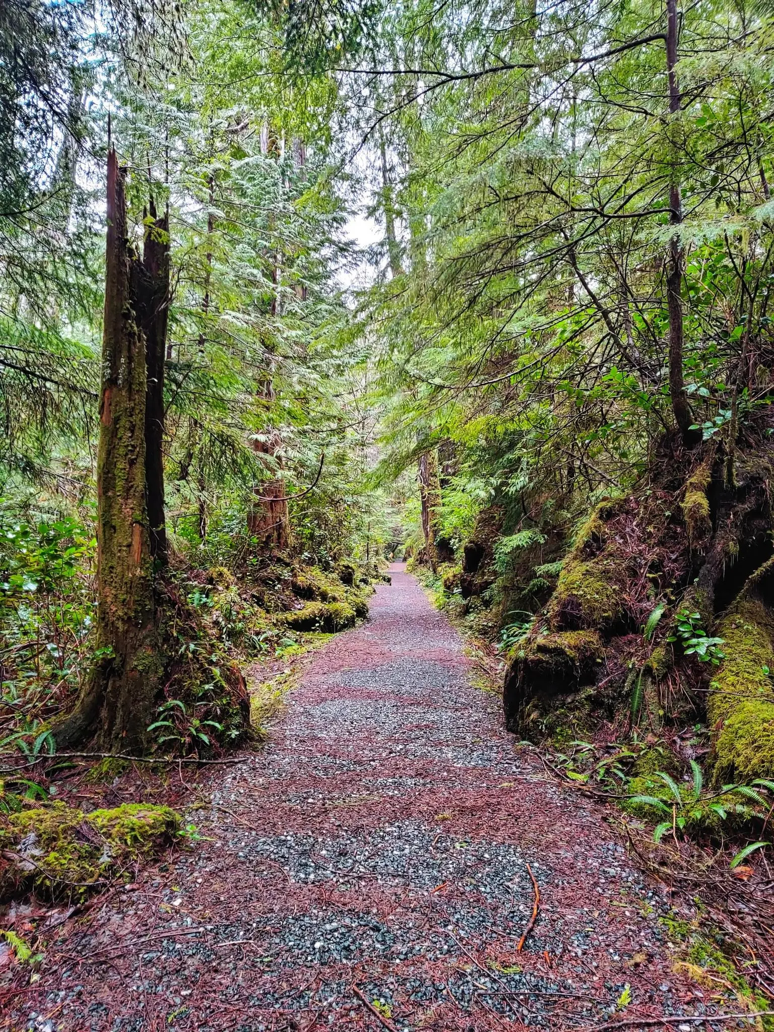
Hiking around Area B (Quatsino Sound/Cape Scott) on Vancouver Island, British Columbia, offers a blend of rugged coastal wilderness, ancient rainforests, and diverse natural features. The region is characterized by remote beauty and challenging trails, featuring over 115 kilometers of ocean frontage with remote beaches and rocky headlands. Trails traverse dense temperate rainforests with old-growth Sitka spruce and cedar, alongside lowland bogs and saltwater marshes. The dramatic coastline is exposed to Pacific storms, creating a picturesque landscape.
Best hiking trails…
Last updated: May 24, 2026
7
hikers
14.6km
05:26
560m
560m
Hard hike. Very good fitness required. Sure-footedness, sturdy shoes and alpine experience required.
1
hikers
909m
00:16
20m
20m
Easy hike. Great for any fitness level. Easily-accessible paths. Suitable for all skill levels.

Sign up for free
5.0
(14)
131
hikers
7.07km
01:55
100m
100m
Easy hike. Great for any fitness level. Easily-accessible paths. Suitable for all skill levels.
5.0
(2)
29
hikers
13.4km
04:38
250m
250m
Moderate hike. Good fitness required. Mostly accessible paths. Sure-footedness required.
13
hikers
25.5km
08:47
380m
380m
Hard hike. Very good fitness required. Sure-footedness, sturdy shoes and alpine experience required.
Our route recommendations are based on thousands of hikes, rides, and runs completed by other people on komoot.
Start today with a free account
Your next adventure awaits.
Login or Signup
Popular around Area B (Quatsino Sound/Cape Scott)
Other adventures around Area B (Quatsino Sound/Cape Scott)

Tips from the Community

This parking area provides convenient access to the Cape Scott and North Coast trails. However, reaching the parking area isn't all that convenient. For those beginning their hikes there is a long 60+ kilometer drive on rough logging roads to get here, and those arriving on foot from the North Coast Trail will have just completed a rough and rugged trek across Vancouver Island. That being said, the parking area can get busy in summer and the road conditions vary throughout the year so be sure to look up the current conditions before you head out.
0
0

The Grant Bay Trailhead is located at the end of an access road off the Cape Scott/Holberg logging route. There is a parking area there, but spots can fill up fast in summer. The trail itself is a short hike along a mostly flat forest path. There are a few sections along the path with large roots, and some areas that can flood when there is rain, but aside from that it is a very straightforward route to the bay.
0
0

Mount St. Patrick Trail begins at the end of the San Josef Bay Trail. The climb to the peak is steep, but it's worth it for the rewarding views from the top. It rises 422 meters above sea level, with an open ridgeline at the top, treeless and offering 360-degree views. The weather here can change quickly, so be ready for anything. Trails can be muddy or slick after rain.
0
0
San Josef Bay is a long sandy beach with powerful Pacific waves and a rugged, windswept coastline. It can be reached via the Cape Scott or North Coast Trail. Visitors can see sea stacks, rocky headlands, and driftwood-lined shores backed by coastal rainforest. It’s a popular stop for day hikers or a base camp for multi-day hikers, as they can pitch a tent at several backcountry sites. Low tide shows off tide pools along the shore. Summer or early fall is the best time to visit, with long daylight hours and warm weather.
1
0

Being able to walk among the rocks and trees on this dreamlike beach at low tide is a real highlight.
0
0

A huge red cedar tree. Currently cordoned off, but very impressive even from a distance.
0
0
A 1.5-hour drive on a gravel road to Cape Scott, followed by a roughly 3 km walk to the beach. Absolutely worth seeing and well worth the trip.
0
0
Frequently Asked Questions
How many hiking trails are available in Area B (Quatsino Sound/Cape Scott)?
There are over 6 hiking routes in Area B (Quatsino Sound/Cape Scott) listed on komoot, ranging from easy walks to challenging multi-day treks. The komoot community has explored these trails over 200 times, giving them an average rating of 4.9 stars.
Are there any easy hiking trails suitable for beginners or families?
Yes, there are several easy options. The Giant Red Cedar – San Josef Bay loop from Cape Scott Trailhead is a 4.4-mile trail through old-growth forest to the beautiful San Josef Bay, often completed in under two hours. Another easy option is the Wolf Country Warning Sign – Wooden Boardwalk Trail loop from Raft Cove Provincial Park, which offers a shorter, accessible experience.
What kind of natural landmarks or features can I expect to see on the trails?
The trails in Area B offer a diverse range of natural features. You can explore ancient temperate rainforests with impressive old-growth Sitka spruce and cedar trees, vast remote beaches like San Josef Bay and Nels Bight, and dramatic coastlines with sea stacks and rocky headlands. Mount St. Patrick, the highest point in Cape Scott Park, provides panoramic views of the wilderness.
Are there any loop trails in Cape Scott Provincial Park?
Yes, there are several loop options for hikers. The Cape Scott Lighthouse loop from Nels Bight Campsite is a moderate 8.3-mile path that takes you through ancient rainforests and along expansive beaches to the iconic Cape Scott Lighthouse. Another option is the Cape Scott Lighthouse loop from Nissen Bight West, a more challenging 15.8-mile route.
What is the best time of year to go hiking in Area B (Quatsino Sound/Cape Scott)?
The best time to visit for hiking is typically during the drier summer months, from late spring to early fall, when weather conditions are generally more stable. However, be prepared for rapidly changing weather at any time of year. The region is known for its rugged, exposed shoreline, which can be vulnerable to southwesterly storms, especially outside of peak season.
Is it possible to see wildlife while hiking in this area?
Area B is a naturalist's paradise. Hikers frequently spot deer, elk, and various sea birds. Black bears, cougars, and wolves are also present, so it's important to be wildlife aware. The coastal areas are home to seals, sea lions, and grey whales, and Hansen Lagoon is a significant spot for migratory birds like sandhill cranes and trumpeter swans.
Are dogs allowed on the hiking trails in Area B (Quatsino Sound/Cape Scott)?
While specific regulations can vary by park and trail, generally, dogs are permitted on many trails in British Columbia's provincial parks, but must be kept on a leash. However, due to the presence of abundant wildlife, including bears and wolves, it's crucial to keep dogs under strict control for their safety and the safety of wildlife. Always check the latest park regulations before heading out.
What should I know about parking and public transport for these trails?
Access to many trails in Area B, particularly Cape Scott Provincial Park, is primarily by vehicle via logging roads. Parking is available at trailheads, such as the Cape Scott Trailhead for routes like the Giant Red Cedar – San Josef Bay loop. Public transport options are very limited due to the remote nature of the region, so personal vehicle access is generally required.
Are there any historical sites or points of interest along the hiking routes?
Yes, the area has a rich history. The Cape Scott Lighthouse, operational since 1960, is a significant landmark at the end of the Cape Scott Trail. You can also find remnants of early Danish settlements and evidence of First Nations presence throughout the region, adding a historical layer to the natural exploration.
What kind of terrain can I expect on the more challenging trails?
Challenging trails, such as the Mount St. Patrick Trail — Cape Scott Provincial Park, involve varied terrain. You can expect sections with flat boardwalks, but also muddy bogs, rooty paths, and climbs over fallen trees. The North Coast Trail, an extension of the Cape Scott Trail, is particularly rugged, featuring deep mud and sections requiring the use of fixed ropes, traversing diverse forests, bogs, and beaches.
Do I need any special permits to hike in Area B (Quatsino Sound/Cape Scott)?
For day hiking in most provincial parks like Cape Scott, permits are generally not required. However, if you plan to camp overnight, especially along multi-day routes like the Cape Scott Trail or North Coast Trail, backcountry camping permits are necessary and should be booked in advance through BC Parks. It's always best to check the official BC Parks website for the most current information regarding permits and fees.
What makes the coastal hiking in this region unique?
The coastal hiking in Area B is unique due to its blend of rugged wilderness and expansive, remote beaches. You'll encounter over 115 kilometers of scenic ocean frontage, including approximately 30 kilometers of spectacular white sand beaches interspersed with rocky headlands. Hikers must also be mindful of tides, as coastal exploration requires carrying tide tables to avoid being cut off by incoming waters.

Get inspired with the komoot mobile app


Explore more
Browse the best Hikes in other regions.
