The best walks and hikes around gmina Bełchatów
4.7
(15)
168
hikers
35
hikes
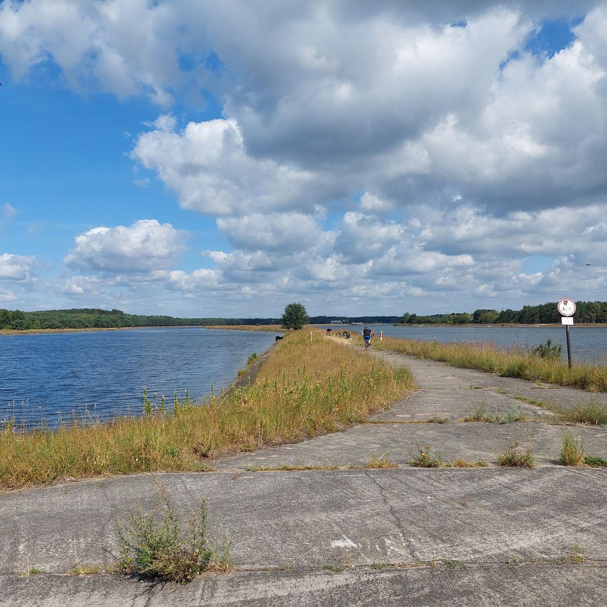
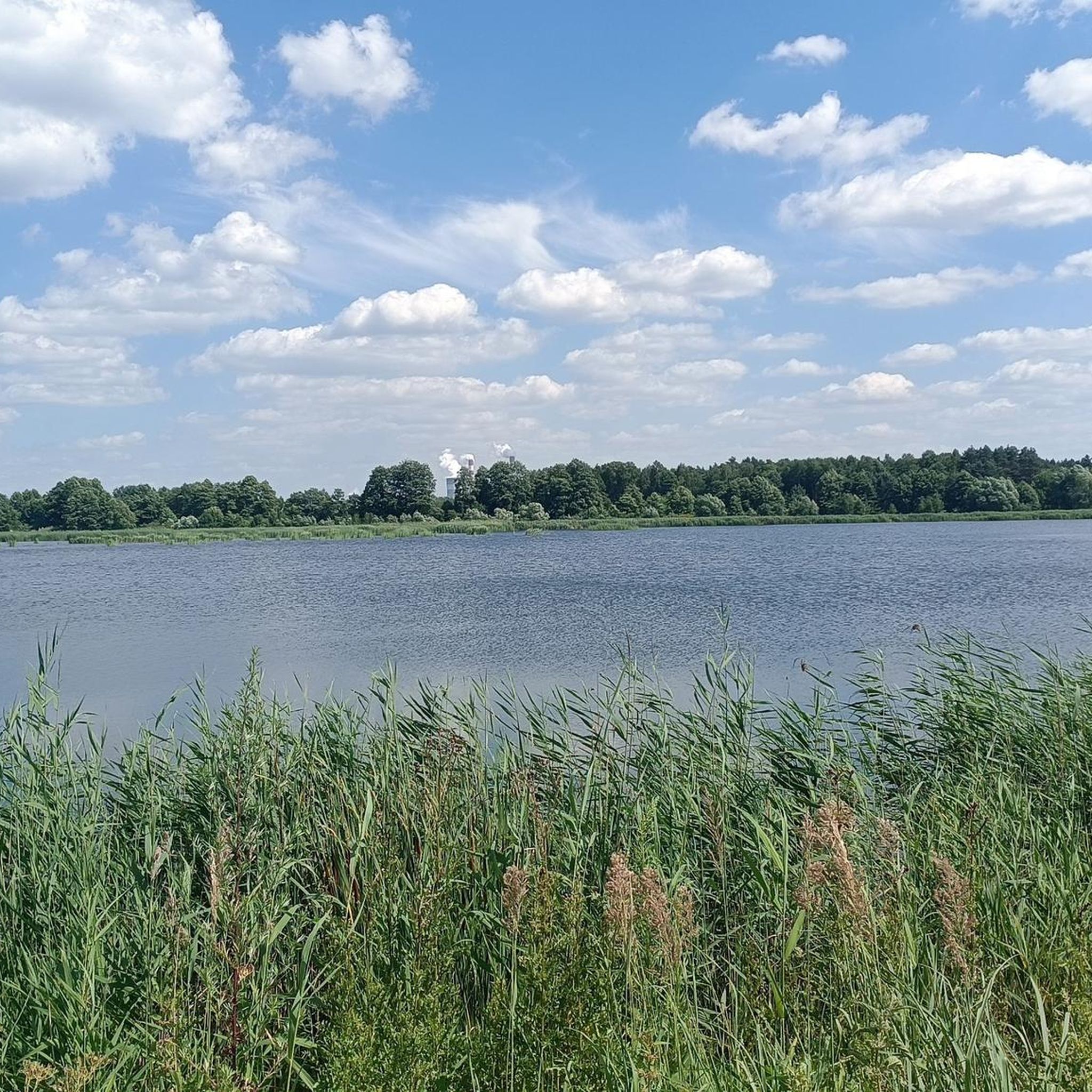
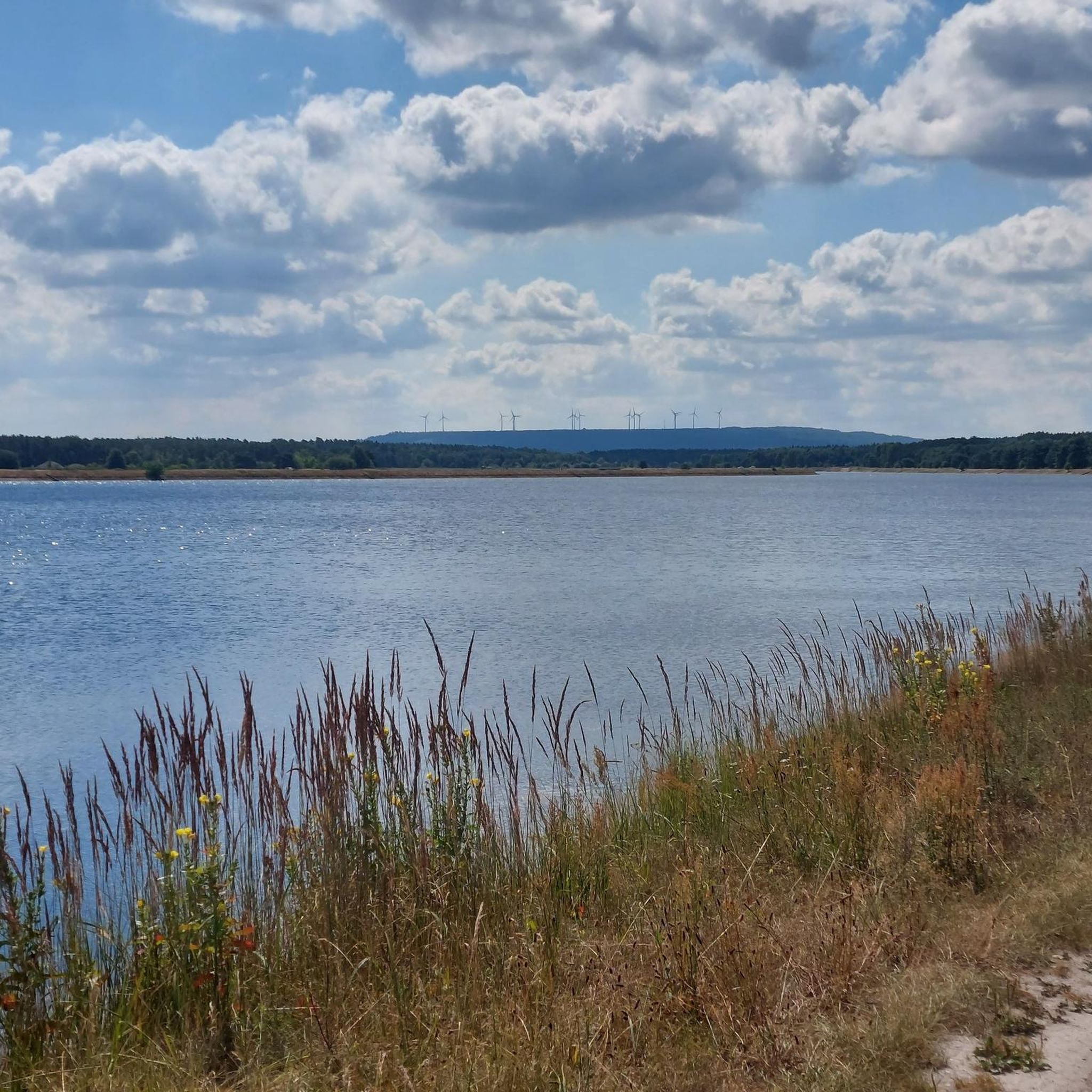
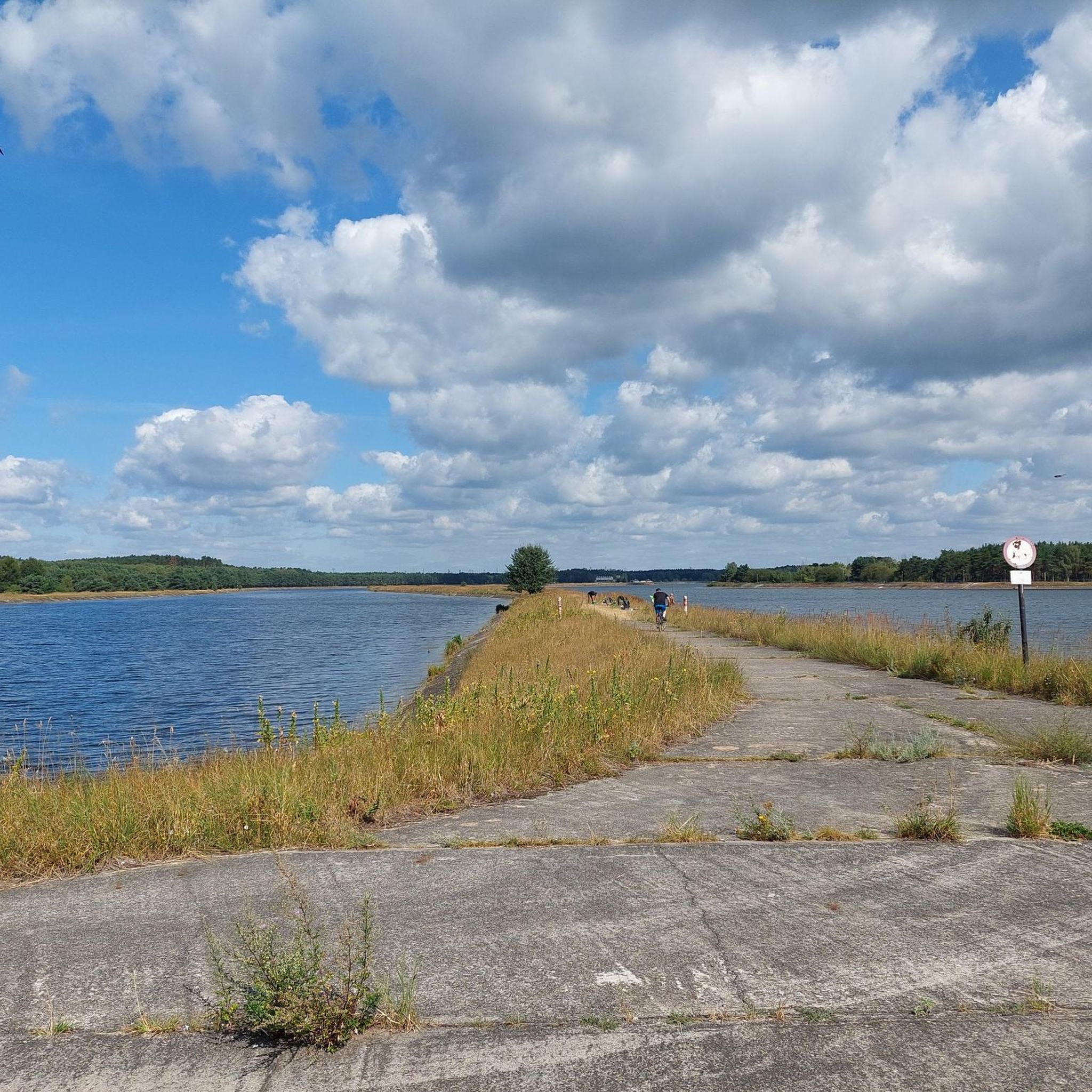
Hiking around gmina Bełchatów offers diverse natural landscapes, including extensive forests and wild meadows. The region features water bodies such as the Słok and Wawrzkowizna reservoirs, adding to the scenic variety. While generally flat, some routes include gentle ascents, with the highest point reaching just over 200 meters. The terrain is suitable for various outdoor activities, particularly hiking.
Best hiking trails around gmina Bełchatów
- The most popular hiking route is Viewpoint by the cross – Góra Kamieńsk loop from Piaski…
Last updated: May 15, 2026
14
hikers
13.9km
03:46
200m
200m
Moderate hike. Good fitness required. Easily-accessible paths. Suitable for all skill levels.
5.0
(2)
16
hikers
5.90km
01:31
20m
20m
Easy hike. Great for any fitness level. Easily-accessible paths. Suitable for all skill levels.

Sign up for free
3
hikers
5.78km
01:29
20m
20m
Easy hike. Great for any fitness level. Easily-accessible paths. Suitable for all skill levels.
3
hikers
5.96km
01:32
20m
20m
Easy hike. Great for any fitness level. Easily-accessible paths. Suitable for all skill levels.
3
hikers
8.01km
02:03
30m
30m
Moderate hike. Good fitness required. Easily-accessible paths. Suitable for all skill levels.
Get access to more routes and recommendations from other explorers.
Sign up for free
Already have an account?
Our route recommendations are based on thousands of hikes, rides, and runs completed by other people on komoot.
Start today with a free account
Your next adventure awaits.
Login or Signup

Tips from the Community


A nice viewpoint here at Seweryn, but also a strange place: a bench, a cross and wind farms in one place! All right under Kamieńska Mountain.
0
0
Kamieńska Mountain is the highest elevation in central Poland (395m). It is an artificial mountain, shaped by humans from sand, gravel, clay, silt, etc. This sports center here - including a ski lift and a sledge track - is a great attraction of this area and attracts many.
0
0

for the experienced a nice asphalt driveway. for the less experienced it may be problematic. Total length 3 km
0
0

The ascent is nice, the descent is even better - a substitute for the mountains. But absolutely not worth it for the views - none. Everything is overgrown and you can't see anything from the "top".
0
0

Good quality asphalt along the entire length. Quite a struggle, but worth it for the views.
1
0

Observation Deck + access to the lift
0
0

Height - 367m above sea level 3.2km of ascent with an average gradient of 5.4% makes this road the largest ascent of the so-called Płaskopolski 😉
1
0
Frequently Asked Questions
How many hiking trails are available in gmina Bełchatów?
Gmina Bełchatów offers a good selection of hiking opportunities, with over 20 routes available. These range from easy strolls to more challenging hikes, ensuring there's something for every preference.
What is the typical terrain like for hiking in gmina Bełchatów?
The terrain in gmina Bełchatów is characterized by extensive forests, tranquil wild meadows, and scenic water bodies like the Słok and Wawrzkowizna reservoirs. While generally flat, some routes include gentle ascents, with the highest point reaching just over 200 meters, offering varied landscapes for exploration.
What is the best time of year to go hiking in gmina Bełchatów?
The region is enjoyable for hiking throughout much of the year. Spring and autumn offer pleasant temperatures and vibrant natural colors, while summer is ideal for enjoying the forests and reservoirs. Even winter can be beautiful for a crisp walk, though conditions may vary.
Are there options for different difficulty levels on the trails?
Yes, gmina Bełchatów caters to various fitness levels. You'll find a good balance of routes, with 11 easy trails perfect for a relaxed walk, 11 moderate trails for those seeking a bit more challenge, and 1 difficult route for experienced hikers.
Are there any circular hiking routes in gmina Bełchatów?
Many of the trails in gmina Bełchatów are designed as circular routes, allowing you to start and end at the same point. For example, the Zbiornik Słok loop from Łęg offers a scenic circuit around the reservoir, and the Owl Forest Sign loop from Bełchatów takes you through forested areas.
Are the hiking trails in gmina Bełchatów suitable for families with children?
Absolutely. The region offers many easy and moderate trails that are well-suited for families. The gentle terrain, combined with natural attractions like forests and lakes, makes for an enjoyable outing with children. Routes like the Hiking loop from Dobiecin are good options for a family-friendly adventure.
Can I bring my dog on the hiking trails in gmina Bełchatów?
Yes, gmina Bełchatów is generally dog-friendly. Many trails pass through forests and open spaces, providing ample room for dogs to enjoy. Always keep your dog under control, especially near wildlife or other hikers, and remember to clean up after them.
Are there any viewpoints or scenic spots along the trails?
Yes, the region offers several scenic spots. A notable one is the viewpoint at Góra Kamieńsk. The Viewpoint by the cross – Góra Kamieńsk loop from Piaski specifically leads to this prominent location, offering expansive views. You can also explore the Climb to Góra Kamieńsk highlight for more details.
What historical or natural attractions can I discover while hiking?
Gmina Bełchatów is rich in both natural and historical points of interest. You can encounter natural monuments like ancient oak trees and glacial erratics within the forests. Historically, the region features remnants of combat bunkers from WWII, historic water mills along the Rakówka river, and traditional wooden houses in villages like Kałduny. The ruins of a defensive manor in Mikorzyce and the wooden church of St. Roch in Postękalice also offer interesting stops.
Are there any lakes or reservoirs that can be explored on foot?
Yes, the region is home to several beautiful water bodies. The Słok and Wawrzkowizna reservoirs are prominent features, and you can hike around them, such as on the Zbiornik Słok loop from Łęg. Additionally, Jezioro Żółkin is known as one of the most beautifully situated forest lakes in the area. Other lakes like Smugi Lake and Kopalnia Pawłów Lake also add to the scenic appeal.
What do other hikers enjoy most about hiking in gmina Bełchatów?
The area is highly rated by the komoot community, with an average score of 5.0 stars. Reviewers often praise the tranquil forests, wild meadows, and the peaceful atmosphere of the water reservoirs. The diversity of routes, from easy lakeside strolls to more challenging climbs, is also frequently highlighted as a positive aspect.
Is public transport available to reach hiking trailheads in gmina Bełchatów?
While specific public transport connections to every trailhead may vary, the gmina is generally accessible. It's advisable to check local bus schedules or consider driving to reach the starting points of the trails, especially for those located deeper within the forests or rural areas.
Are there designated parking areas for hikers?
Parking availability can vary depending on the specific trailhead. Many villages and popular starting points for trails often have informal or designated parking spots. For routes near attractions or larger settlements, you're more likely to find convenient parking. It's recommended to check the route details on komoot for specific parking information if available.
Most popular routes around gmina Bełchatów
Most popular attractions around gmina Bełchatów

Get inspired with the komoot mobile app


Explore more
Browse the best Hikes in other regions.
