The best walks and hikes around Augicourt
4.8
(5)
35
hikers
6
hikes
Hiking trails around Augicourt lead through the green valleys and natural landscapes of the Haute-Saône department in Bourgogne-Franche-Comté, France. The region is characterized by forested territories, streams like Grilley and Bas des Veaux, and the nearby Saône River. Hikers can expect varied terrain, from gentle paths along waterways to routes through local woodlands and agricultural areas. Augicourt serves as a base for exploring the broader network of trails in the surrounding natural environment.
Best hiking trails around Augicourt
- The most…
Last updated: October 8, 2026
4.5
(4)
6
hikers
10.3km
02:48
140m
140m
Moderate hike. Good fitness required. Easily-accessible paths. Suitable for all skill levels.
7
hikers
8.87km
02:23
110m
110m
Moderate hike. Good fitness required. Easily-accessible paths. Suitable for all skill levels.

2
hikers
5.41km
01:27
60m
60m
Easy hike. Great for any fitness level. Easily-accessible paths. Suitable for all skill levels.
5.0
(1)
6
hikers
8.69km
02:21
120m
120m
Moderate hike. Good fitness required. Easily-accessible paths. Suitable for all skill levels.
1
hikers
Moderate hike. Good fitness required. Easily-accessible paths. Suitable for all skill levels.
Our route recommendations are based on thousands of hikes, rides, and runs completed by other people on komoot.
Start today with a free account
Your next adventure awaits.
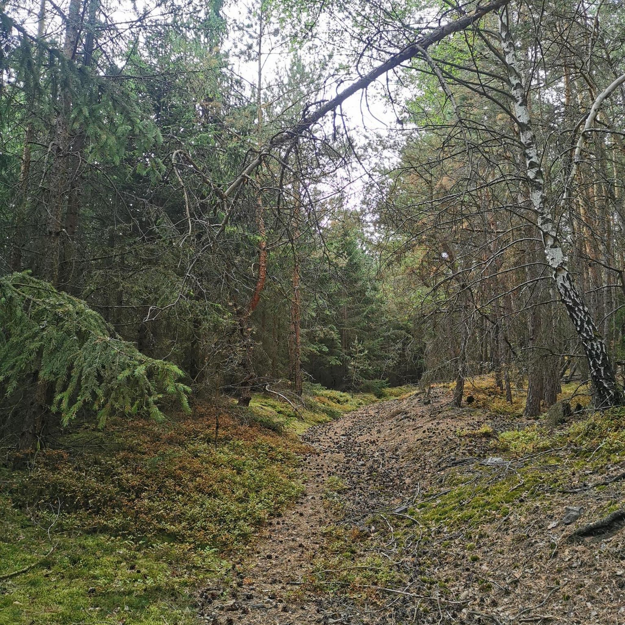


Tips from the Community


Abbey built between 1150 and 1220 which welcomed Cistercian monks. It was one of the largest and most beautiful in the region because it had the support of many local lords. History, however, did not do it any favors and it suffered plague, famine, wars including that of the Hundred Years and numerous pillagings until the 16th century. The monastery then came under commendation (temporary administration and perception of the abbey's profits by a person who had no obligation to manage the abbey), which did not improve its situation, then new looting and fires took place at the time. during the 16th and 17th centuries. During the 18th century, a new cloister and then a new monastic palace were built but the Revolution passed through and the abbey saw its last hour sounded. Today only remains of the 15th century cloister, a wall of the church transept, the doorman's accommodation and some buildings of the convent which were transformed into a farm.
3
0

Also nice just to sit
3
0
The most beautiful is undoubtedly at dusk
3
0
A bit isolated, actually. But easily accessible on foot from Montigny-lès-Cherlieu
3
0
In terms of operation, no sink to speak of
4
0


Frequently Asked Questions
What kind of landscapes can I expect to see while hiking around Augicourt?
Hiking around Augicourt offers a diverse range of landscapes characteristic of the Haute-Saône department. You'll find yourself traversing green valleys, extensive forested territories, and agricultural areas. The region is also defined by its waterways, including local streams like Grilley and Bas des Veaux, and the nearby Saône River. Further afield, the unique 'Plateau des Mille Étangs' (Plateau of a Thousand Ponds) offers an enchanting landscape of forests, meadows, and numerous ponds, often referred to as 'Little Finland'.
Are there any easy hiking trails suitable for beginners or families near Augicourt?
Yes, there are several easy trails perfect for beginners or families. For instance, the Ruins of Cherlieu Abbey loop from Abbaye de Cherlieu is an easy 7.4 km trail that takes about 2 hours to complete, leading through pleasant forested areas and past historical ruins. Another option is the shorter Ruins of Cherlieu Abbey – Ruins of Cherlieu Abbey loop from Abbaye de Cherlieu, which is 5.4 km and also rated easy.
What are some interesting landmarks or attractions to see along the hiking routes?
Several routes offer glimpses of local history and charming settlements. You can explore the Ruins of Cherlieu Abbey, a historical site that adds a cultural dimension to your hike. The nearby town of Jussey is also a notable settlement you might encounter or start a hike from. Additionally, you might come across local features like the Church of Saint Peter and Saint Paul or a Well with drinking water.
Are there any circular walks available around Augicourt?
Yes, many of the trails around Augicourt are designed as circular routes, allowing you to start and end in the same location. Examples include the moderate English – The Round Fountain loop from Rosières-sur-Mance, which is 10.3 km, and the Jussey loop from Jussey, a 11.3 km moderate trail. For a longer option, consider the Benches With View of the Lake – Lake Montigny-lès-Cherlieu loop from Chauvirey-le-Châtel, a 12.8 km moderate hike.
What do other hikers say about the trails in Augicourt?
The hiking trails around Augicourt are highly regarded by the komoot community, holding an average rating of 5.0 stars from 4 reviews. Hikers often praise the varied terrain, the peaceful green valleys, and the well-maintained paths that lead through local woodlands and along streams.
What is the best time of year to hike in the Augicourt region?
The Haute-Saône region, where Augicourt is located, is beautiful throughout much of the year. Spring and autumn are particularly pleasant for hiking, with mild temperatures and vibrant natural colors. Spring brings blooming flora, while autumn offers stunning foliage. Summer is also suitable, though it can be warmer, making early morning or late afternoon hikes ideal. Winter hikes are possible, especially in the wooded areas, but require appropriate gear for colder conditions.
Are there opportunities for other outdoor activities besides hiking in the Haute-Saône department?
Absolutely. The Haute-Saône department offers a wide array of outdoor activities. Beyond hiking, you can enjoy mountain biking, road cycling, and horseback riding. The region's rivers, such as the Saône and Ognon, provide opportunities for water-based activities like sailing, paddling, and fishing. You can find more information on other outdoor activities on the Haute-Saône tourism website: hautesaonetourisme.com.
How many hiking trails are available around Augicourt?
Komoot currently features several hiking trails around Augicourt, offering a variety of options for different skill levels. You'll find a mix of easy and moderate routes to explore the local landscapes.
Can I find trails that lead through forests or along rivers near Augicourt?
Yes, the region around Augicourt is rich in both forests and waterways. Many trails, such as the Ruins of Cherlieu Abbey loop from Abbaye de Cherlieu, lead through extensive forested areas. The broader Haute-Saône department is characterized by its green valleys and the presence of streams like Grilley and Bas des Veaux, as well as the Saône River, providing opportunities for walks alongside water.
Are there any longer, more challenging hikes for experienced trekkers?
While Augicourt itself offers mostly easy to moderate trails, the broader Haute-Saône region, particularly towards the wooded hills of the southern Vosges mountains and the Plateau des Mille Étangs, provides opportunities for longer and potentially more challenging treks. The trails directly around Augicourt, such as the Benches With View of the Lake – Lake Montigny-lès-Cherlieu loop from Chauvirey-le-Châtel (12.8 km), offer a good moderate challenge.
Is public transport available to reach hiking trailheads near Augicourt?
Augicourt is a small rural commune, and public transport options directly to specific trailheads might be limited. It is generally recommended to use a car to access the starting points of hikes in the surrounding Haute-Saône department. For more detailed information on local transport, it's best to consult regional tourism resources.
Most popular attractions around Augicourt

Get inspired with the komoot mobile app


Explore more
Browse the best Hikes in other regions.
