The best gravel rides around Sauviat
3.0
(1)
6
riders
3
rides
Gravel biking around Sauviat offers diverse terrain within the Puy-de-Dôme department of the Auvergne Rhône-Alpes region. The area features varied topography, with elevations ranging from 338 meters to 630 meters, providing a mix of inclines and descents. Notable natural features include the Massif d'Épagne, a 450-hectare Natura 2000 site known for its ancient gabbro rock formations and unique flora, and the nearby Livradois-Forez Regional Nature Park. The region's network of marked trails and unpaved segments makes it suitable for gravel cycling.
Best gravel bike trails around Sauviat
- The most popular gravel bike trail is Col de la Cabane – Cunlhat loop from Cunlhat, a 22.7 miles (36.5 km) trail that takes 3 hours 31 minutes to complete, featuring significant elevation gain through varied landscapes.
- Another top favourite among local gravel bikers is Chateau Les Martinanches – Domaize loop from Viallard, a difficult 19.7 miles (31.7 km) path. This route navigates through the region's natural beauty, including areas with varied elevations and natural features.
- Local gravel bikers also love the Lac d'Aubusson d'Auvergne – Lake Aubusson loop from Augerolles, a 16.9 miles (27.3 km) trail leading through areas near the lake and surrounding forests, often completed in about 2 hours 18 minutes.
- Gravel biking around Sauviat is defined by varied elevations, forest paths, and unpaved segments, offering a mix of challenging climbs and scenic descents. The network provides options for both moderate and difficult ability levels.
- The routes in Sauviat are highly rated by the komoot community with an average score of 3.7 stars from over 3 reviews. More than 12 gravel bikers have used komoot to explore Sauviat's varied terrain.
Last updated: May 23, 2026
3
riders
36.5km
02:48
700m
700m
Hard gravel ride. Very good fitness required. Mostly paved surfaces. Suitable for all skill levels.
2
riders
31.6km
02:17
590m
580m
Hard gravel ride. Very good fitness required. You may need to push your bike for some segments of this route.

Sign up for free
3.0
(1)
1
riders
27.9km
01:58
570m
570m
Hard gravel ride. Very good fitness required. Mostly paved surfaces. Suitable for all skill levels.
Our route recommendations are based on thousands of hikes, rides, and runs completed by other people on komoot.
Start today with a free account
Your next adventure awaits.
Login or Signup

Tips from the Community


Touring Lake Aubusson is always a moment of timeless pleasure. The succession of refreshing undergrowth and magnificent viewpoints is simply a treat. The maintenance is always impeccable, the path is without difficulties. Accessible by mountain bike. 100% recommended! ! ! !
1
0

Small road pass (altitude 943 m) which, like the Toutée pass, connects St-Amant-Roche-Savine and Cunlhat, but via a small road with no traffic.
0
0
Breathtaking view of the EDF Sauviat dam installations below the village. Confluence of the Dore and Miodet rivers.
0
0

Erected on the line forming the edge of the Livradois plateau, a veritable western balcony, the Deux-Frères belvedere occupies one of the highest sites in the commune of Echandelys, at some 1087 meters above sea level. Occupied by an orientation table set up in 1972 by the Intercommunal Syndicate of Tourist and Economic Development of Livradois, it allows a view over the entire Limagne valley and the main geographical formations of Auvergne, from Plomb from Cantal to the Chaîne des Puys, recently listed as a UNESCO world heritage site, via the Sancy massif. Several tables allow you to have a pleasant picnic and recently installed wooden benches encourage you to enjoy the view during a pleasant break.
0
0

Sauviat is a small village, formerly a stronghold on a spur overlooking the Dore valley, in the heart of Livradois-Forez. To the west, a pretty little cliff offers climbers a climbing site.
0
0

Lake Aubusson is a beautiful lake in the Auvergne region of France, surrounded by forests and hills. It is a very popular destination. You won't regret stopping and spending some time there.
3
0
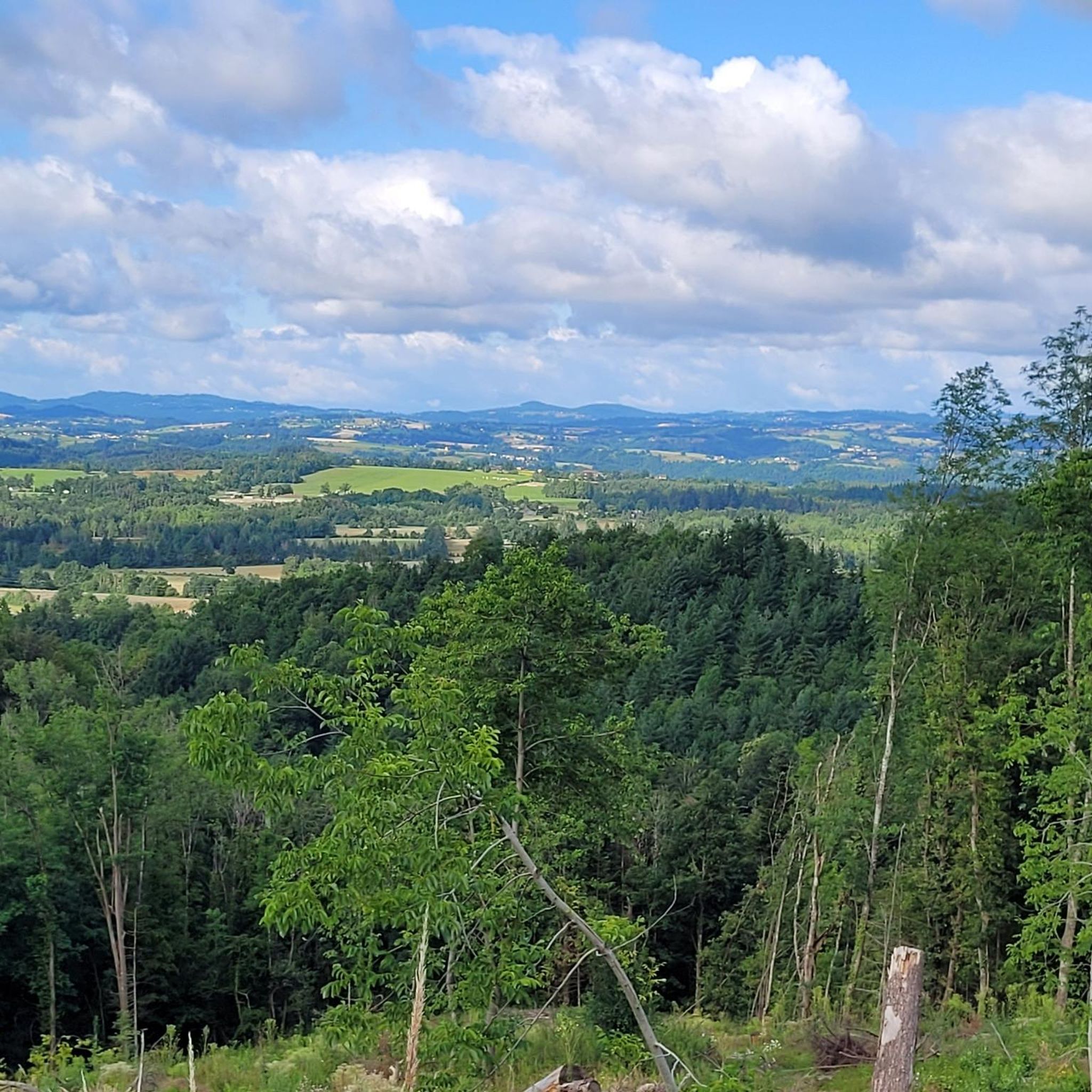
The surroundings of Dourbias offer lovely views of Livradois-Forez.
0
0
Frequently Asked Questions
How many gravel bike trails are available around Sauviat?
There are currently 4 gravel bike routes documented around Sauviat on komoot, offering a variety of experiences for different skill levels.
What are the typical difficulty levels for gravel biking in the Sauviat area?
Gravel biking around Sauviat primarily features routes of moderate to difficult grades. You'll find one moderate route, the Cunlhat loop from Olliergues, and three difficult routes, such as the challenging Col de la Cabane – Cunlhat loop from Cunlhat.
Are there any circular gravel routes in Sauviat?
Yes, all the gravel routes listed for Sauviat are designed as loops. Examples include the View from Dourbias – Chateau Les Martinanches loop from Cunlhat and the Lac d'Aubusson d'Auvergne – Lake Aubusson loop from Augerolles, allowing you to start and finish at the same point.
What kind of landscapes can I expect on the gravel trails near Sauviat?
The gravel trails around Sauviat traverse varied topography, with elevations ranging from 338 to 630 meters. You'll encounter a mix of inclines and descents, forest paths, and unpaved segments. The region is known for natural features like the Massif d'Épagne and is close to the Livradois-Forez Regional Nature Park, offering diverse natural beauty.
What attractions or landmarks can I see along the gravel bike trails in Sauviat?
While riding, you might pass by several points of interest. Notable attractions include Lake Aubusson, the Grün de Chignore Summit, and the historic Mauzun Castle. The routes also pass through or near charming settlements like Olliergues.
What do other gravel bikers say about the trails in Sauviat?
The gravel routes in Sauviat are highly regarded by the komoot community, holding an average rating of 4.0 stars. Over 12 gravel bikers have used komoot to explore the varied terrain, often praising the mix of challenging climbs and scenic descents through forest paths and unpaved segments.
Are there any gravel routes suitable for beginners or families in Sauviat?
The routes around Sauviat tend to be moderate to difficult. The Cunlhat loop from Olliergues is rated as moderate, making it a more accessible option compared to the more challenging trails. However, riders should be prepared for varied elevations and unpaved sections.
Is Sauviat a good base for exploring the wider region on a gravel bike?
Yes, Sauviat's tranquil rural setting in the Puy-de-Dôme department provides excellent access to the varied terrain of the Auvergne Rhône-Alpes region. Its proximity to natural features like the Livradois-Forez Regional Nature Park makes it a suitable starting point for exploring the countryside on a gravel bike.
What is the longest gravel route available in Sauviat?
The longest gravel route in the area is the Col de la Cabane – Cunlhat loop from Cunlhat, which spans 36.5 kilometers and features significant elevation gain, making it a substantial ride.
What is the shortest gravel route available in Sauviat?
The shortest gravel route currently listed is the Cunlhat loop from Olliergues, covering 21.6 kilometers with a moderate difficulty rating.
Most popular attractions around Sauviat

Get inspired with the komoot mobile app


Explore more
Browse the best Gravel rides in other regions.
