The best gravel rides around Aiguilles
5.0
(19)
302
riders
15
rides
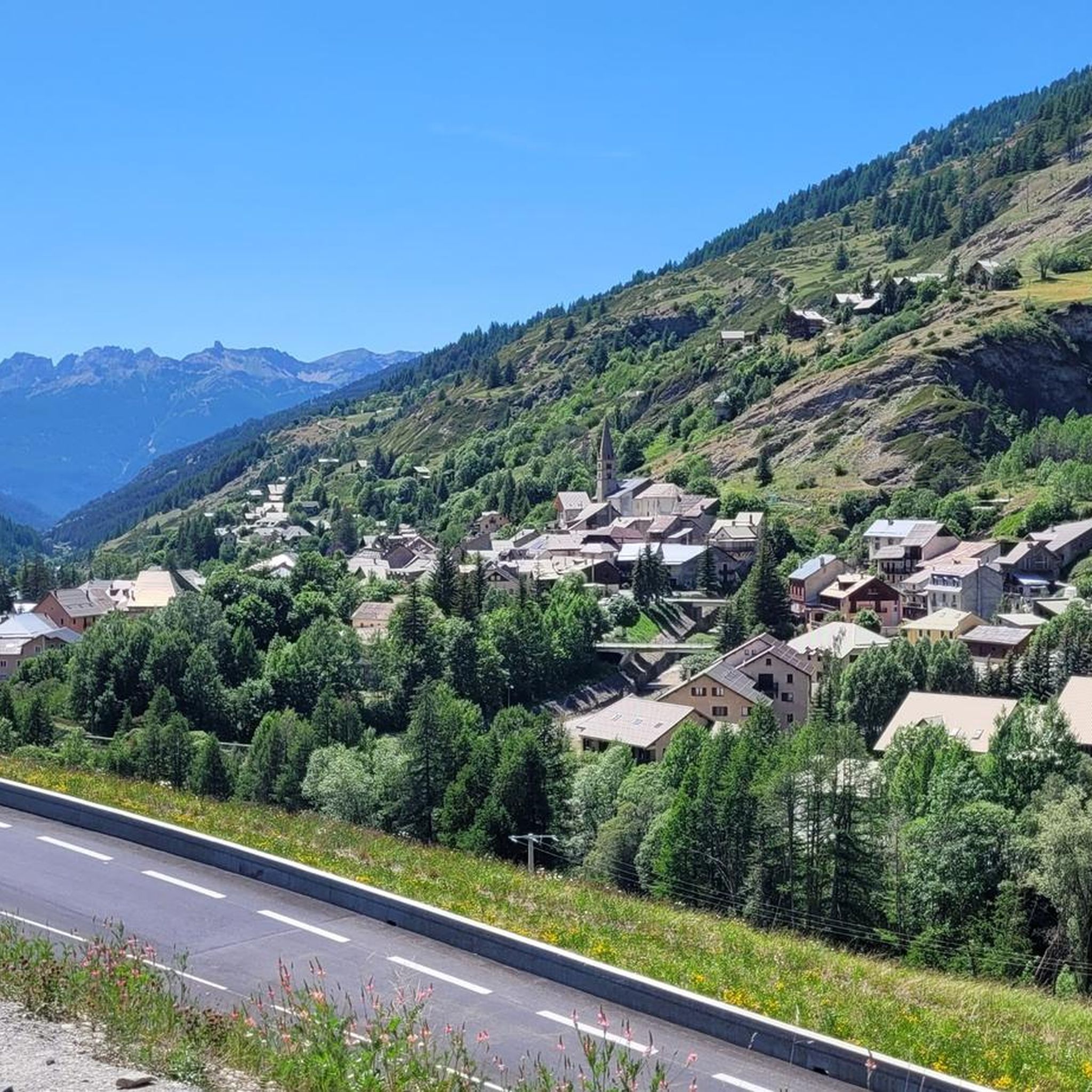
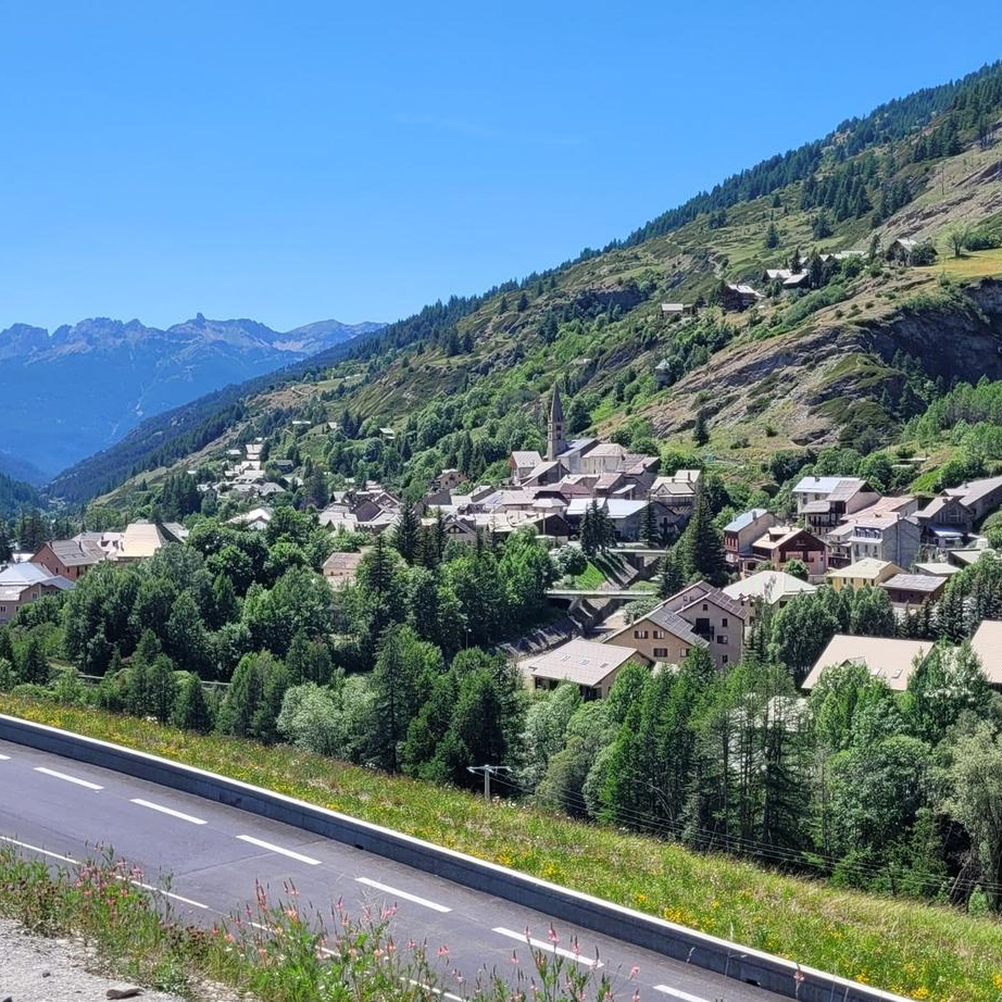
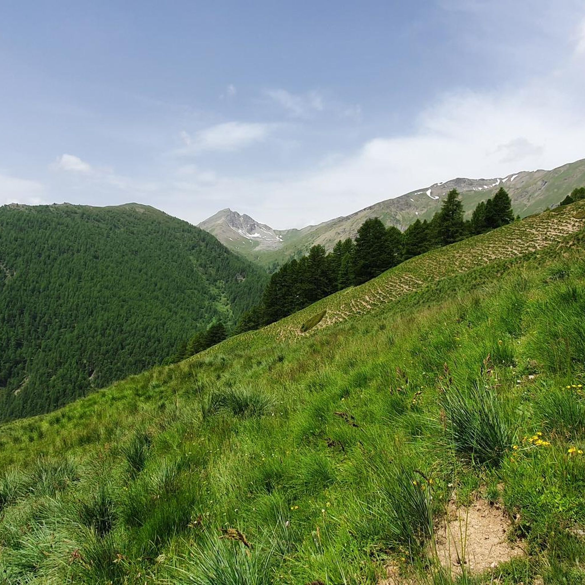
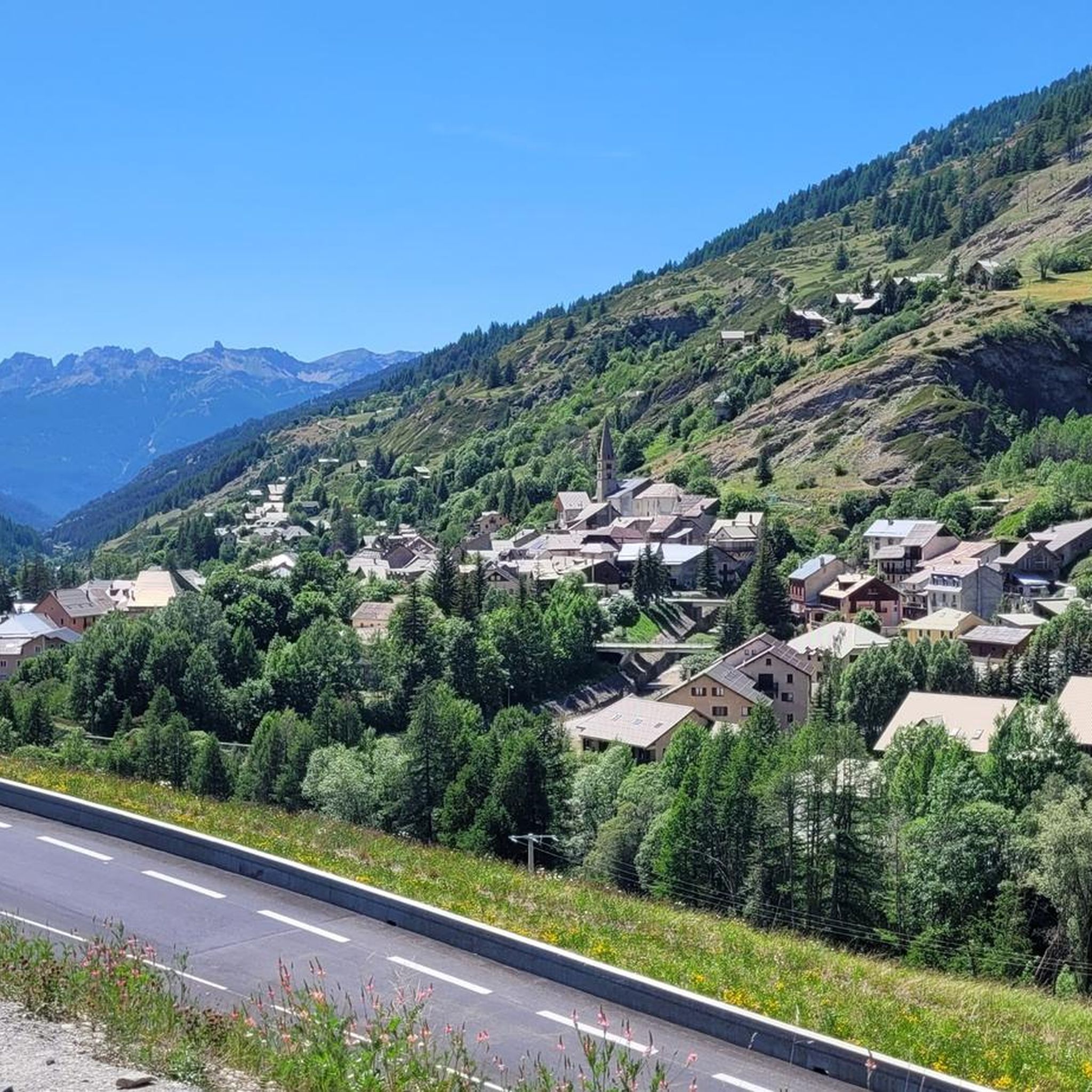
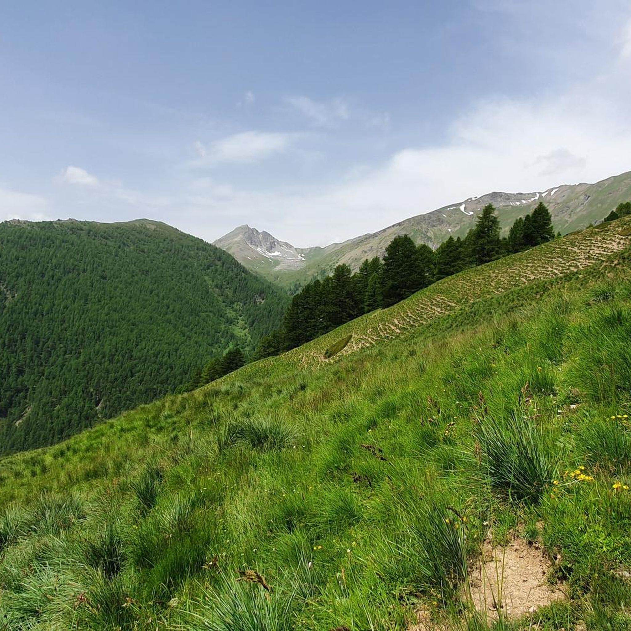
Gravel biking around Aiguilles offers diverse terrain within the Queyras Regional Natural Park, characterized by high mountain landscapes, immense coniferous forests, and expansive mountain pastures. The region features numerous valleys and towering peaks, with many routes following carriage roads. Cyclists can expect significant elevation gains across varied surfaces, providing a challenging yet rewarding experience.
Best gravel bike trails around Aiguilles
- The most popular gravel bike trail is Saint-Véran – Lake Blanche loop from Molines-en-Queyras, a 18.5 miles (29.8 km)…
Last updated: October 7, 2026
3.0
(1)
79
riders
112km
08:57
3,560m
3,560m
Hard gravel ride. Very good fitness required. Mostly paved surfaces. Suitable for all skill levels.
4.8
(4)
24
riders
30.1km
02:31
820m
820m
Hard gravel ride. Very good fitness required. Mostly paved surfaces. Suitable for all skill levels.

5.0
(1)
17
riders
Hard gravel ride. Very good fitness required. Mostly paved surfaces. Suitable for all skill levels.
5.0
(1)
23
riders
38.4km
03:04
1,170m
1,170m
Hard gravel ride. Very good fitness required. Mostly paved surfaces. Suitable for all skill levels.
20
riders
141km
11:21
4,510m
4,510m
Hard gravel ride. Very good fitness required. Mostly paved surfaces. Suitable for all skill levels.
Get access to more routes and recommendations from other explorers.
Already have an account?
Our route recommendations are based on thousands of hikes, rides, and runs completed by other people on komoot.
Start today with a free account
Your next adventure awaits.


Other adventures around Aiguilles

Tips from the Community


The Castello di Château-Queyras (officially known as Fort Queyras) is a splendid medieval fortified castle located in the municipality of Château-Ville-Vieille, in the heart of the Queyras Regional Natural Park (Hautes-Alpes department, France). Situated at an altitude of 1,427 meters on a rocky outcrop overlooking the picturesque Guil valley, it holds the title of the highest medieval castle in France and is considered one of the country's best-preserved examples of alpine fortification.
0
0

Possibility to leave the bikes tied to the fence to continue on foot.
0
0

2360 meters is not a small amount.
1
0

The Col d’Izoard is an Alpine pass located in the French Alps, in the Hautes-Alpes department, at an altitude of about 2,360 meters. It connects the Guisane valley (towards Briançon) to the Queyras valley (towards Château-Ville-Vieille).
10
0

Registered among the most beautiful villages in Italy, and for good reason. A pearl set in the majestic scenery of the Cottian Alps, all restored and cleaned up. A dream village.
0
0
Registered among the most beautiful villages in Italy, and for good reason. A pearl set in the majestic scenery of the Cottian Alps, all restored and cleaned up. A dream village.
0
0
Registered among the most beautiful villages in Italy, and for good reason. A pearl set in the majestic scenery of the Cottian Alps, all restored and cleaned up. A dream village.
0
0
Frequently Asked Questions
How many gravel bike trails are available around Aiguilles?
Aiguilles offers over 10 gravel biking routes, providing a range of options for exploring the diverse landscapes of the Queyras Regional Natural Park.
What kind of terrain can I expect on gravel bike trails around Aiguilles?
Gravel biking around Aiguilles involves a mix of terrain, from paved sections to unpaved carriage roads, double tracks, and old military roads. You'll navigate high mountain landscapes, immense coniferous forests, and expansive mountain pastures, often encountering significant elevation gains.
Are there any easy gravel bike routes for beginners in Aiguilles?
While many routes in Aiguilles feature significant climbs and are rated as difficult, there are a couple of moderate options available. These still require a reasonable level of fitness but are less demanding than the most challenging trails.
What are some challenging gravel bike routes for experienced riders?
For experienced riders seeking a challenge, the Mont Viso Grand Viewpoint – LaRocheEcroulée loop from Château-Ville-Vieille is a difficult 53.5 km path offering views of Mont Viso and exploring high mountain terrain. Another demanding option is the Refuge Agnel – Scenic hairpin bends loop from Queyras Regional Nature Park, which covers 31.3 km with significant elevation.
Are there any circular gravel bike routes in the Aiguilles area?
Yes, many of the gravel routes around Aiguilles are designed as loops. Examples include the Lake Blanche – La Blanche Refuge loop from Queyras Regional Nature Park, which is a 30.1 km circuit, and the Mont Viso Grand Viewpoint – LaRocheEcroulée loop from Abriès, a 38.8 km loop.
What natural features or landmarks can I see along the gravel bike trails?
The trails often pass by stunning natural features. You can encounter beautiful lakes such as Lake Roue, Lake Grand Laus, and Lake Foréant. The region is also known for its dramatic gorges, including the Gorges of the Guil and the Ruine Blanche Ravine.
What is the best time of year for gravel biking in Aiguilles?
The best time for gravel biking in Aiguilles is typically from late spring through early autumn (May to October). During these months, the high mountain passes are generally clear of snow, and the weather is more favorable for cycling, allowing you to enjoy the flower-filled mountain pastures and lush valleys.
Are there any routes that offer views of Mont Viso?
Yes, the Mont Viso Grand Viewpoint – LaRocheEcroulée loop from Château-Ville-Vieille is specifically highlighted for its views of Mont Viso, an iconic peak in the region. This route provides a fantastic opportunity to experience the grandeur of the Alps.
What do other gravel bikers enjoy most about gravel biking in Aiguilles?
The area is highly rated by the komoot community, with an average score of 4.8 stars from over 9 reviews. Reviewers often praise the diverse terrain, the challenging yet rewarding climbs, and the breathtaking high mountain landscapes within the Queyras Regional Natural Park.
Are there any routes that pass through charming villages or hamlets?
Many routes in the Queyras region offer opportunities to pass through picturesque villages. The village of Aiguilles itself features colorful houses, and nearby Saint-Véran, one of the highest municipalities in Europe, is known for its traditional architecture and local craft shops, making for pleasant stops during your ride.
What is the typical elevation gain on gravel bike routes in Aiguilles?
Gravel bike routes in Aiguilles are characterized by significant elevation gains due to the mountainous terrain. For example, the Mont Viso Grand Viewpoint – LaRocheEcroulée loop from Château-Ville-Vieille involves over 1100 meters of ascent, while the Refuge Agnel – Scenic hairpin bends loop from Queyras Regional Nature Park has nearly 970 meters of climbing.
Most popular attractions around Aiguilles

Get inspired with the komoot mobile app


Explore more
Browse the best Gravel rides in other regions.
