The best mountain hikes around Marcieu
4.7
(5)
17
hikers
3
hikes
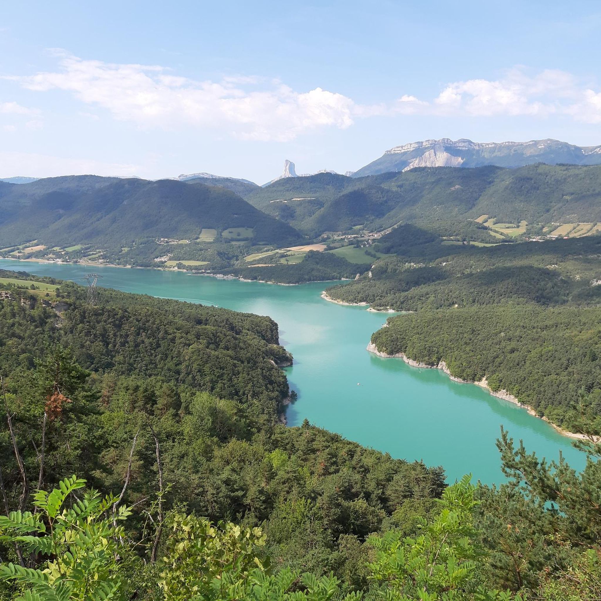
Mountaineering routes around Marcieu are situated within the Chartreuse Regional Park, offering diverse terrain for exploration. The region features a mix of landscapes, including plateaus, mountain pastures, and forested areas, with views of the Grésivaudan valley and surrounding mountains. The Col de Marcieu, at approximately 1100 meters, serves as a central point for accessing various trails. This area provides a range of ascents and paths through its natural environment.
Best mountaineering routes around Marcieu
- The most popular mountaineering route is…
Last updated: July 17, 2026
5.0
(2)
7
hikers
15.4km
05:19
750m
750m
Hard mountaineering route. Very good fitness required. Mostly accessible paths. Sure-footedness required.
5.0
(1)
6
hikers
12.7km
04:05
470m
470m
Moderate mountaineering route. Good fitness required. Mostly accessible paths. Sure-footedness required.

Sign up for free
4.0
(2)
4
hikers
Easy mountaineering route. Great for any fitness level. Easily-accessible paths. Suitable for all skill levels.
Our route recommendations are based on thousands of hikes, rides, and runs completed by other people on komoot.
Start today with a free account
Your next adventure awaits.
Login or Signup
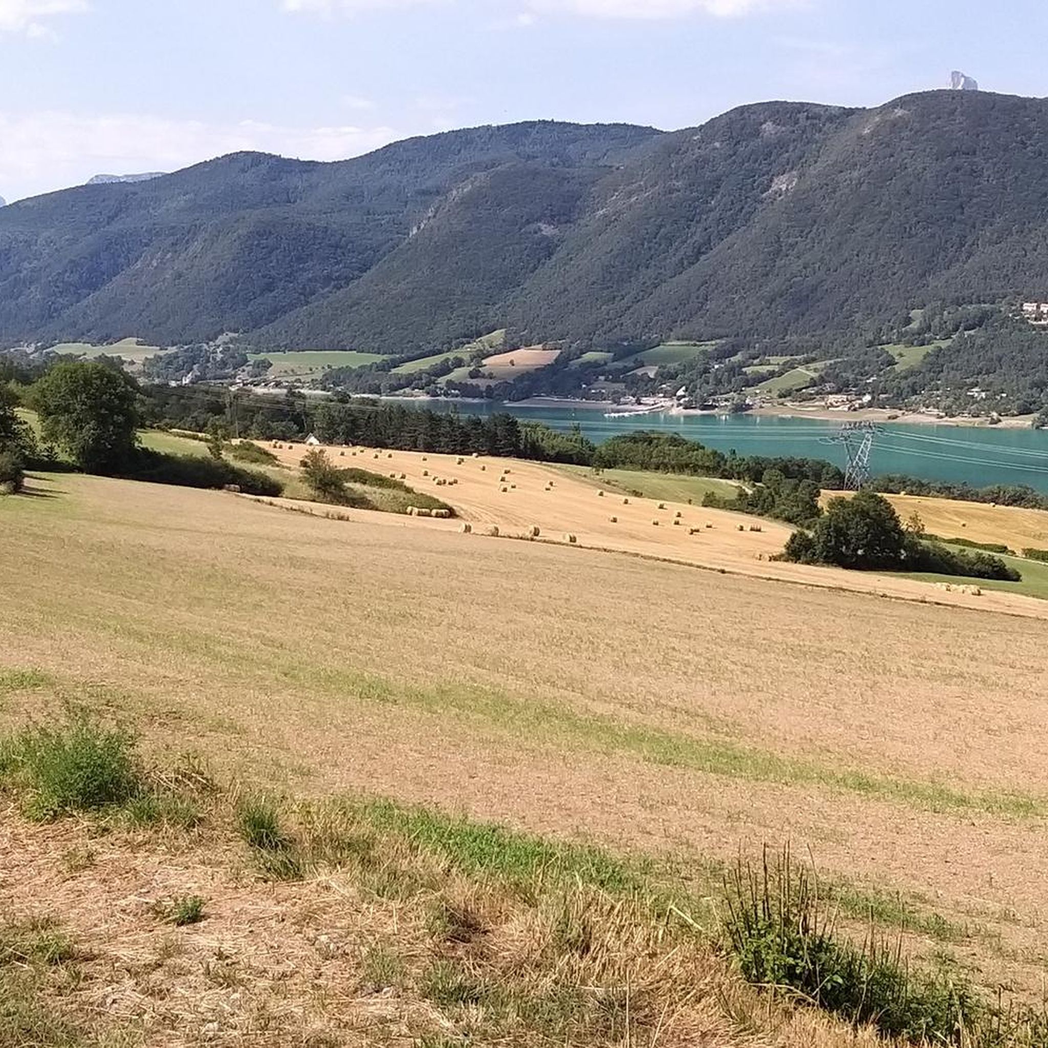
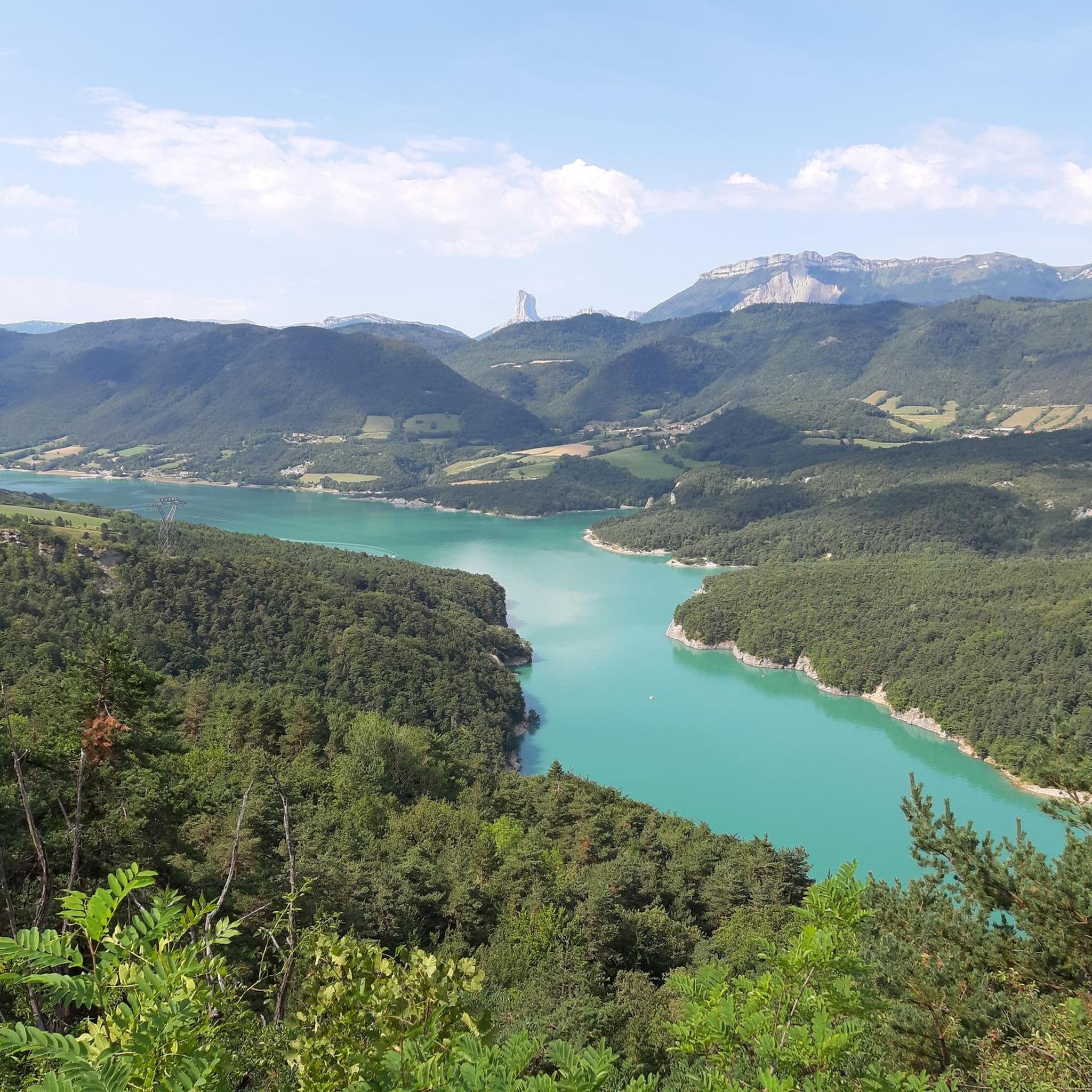
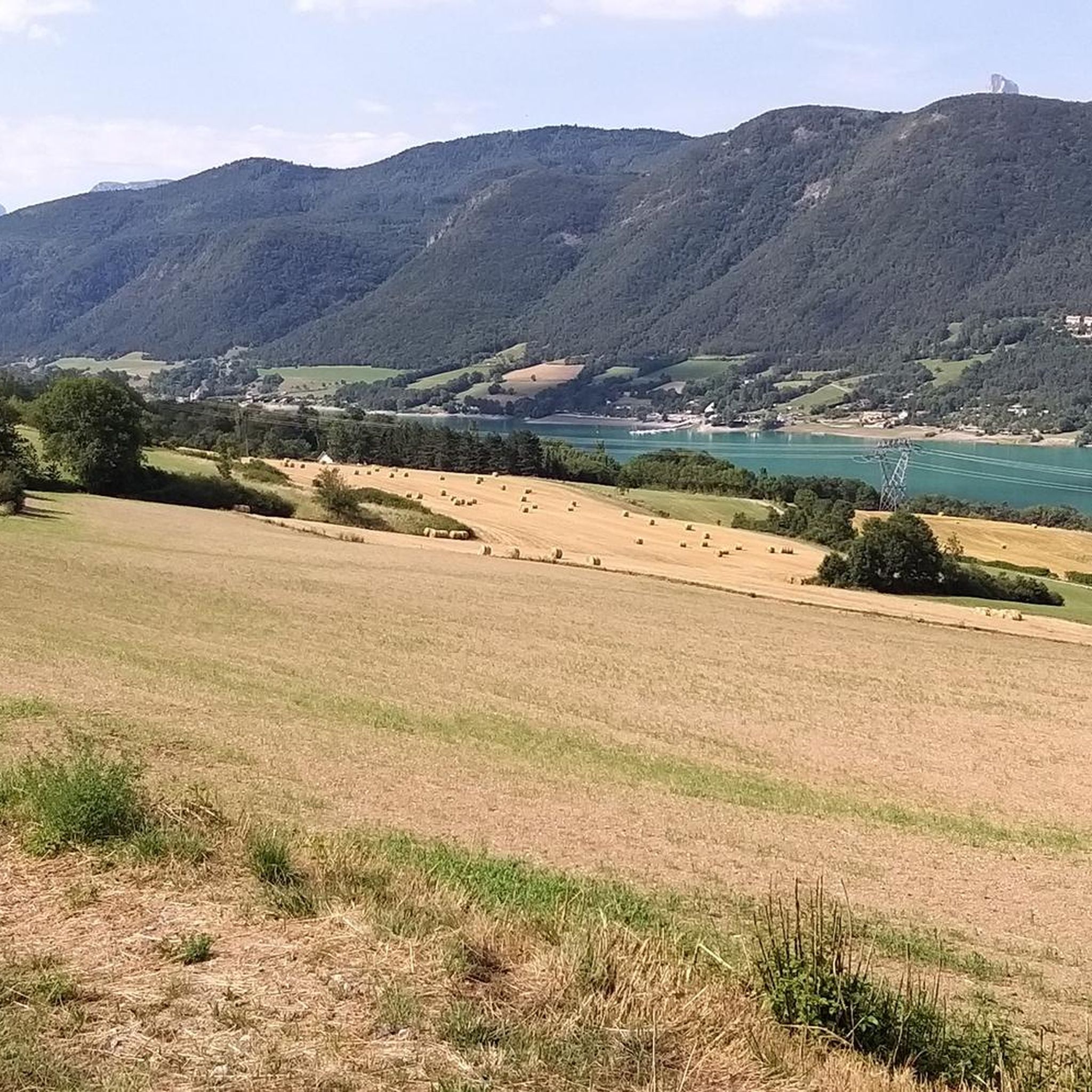
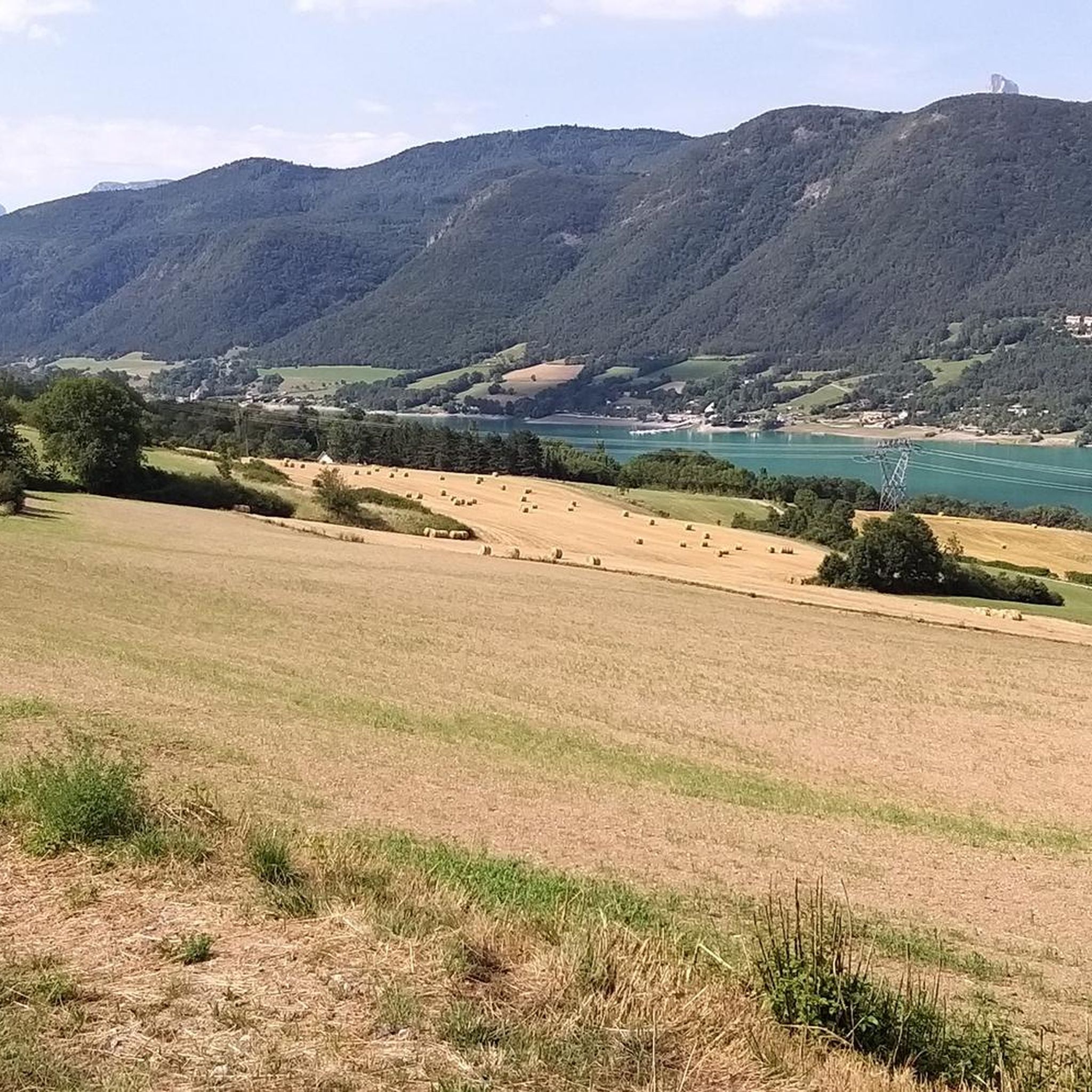

Tips from the Community

fairly easy, very nice views, quiet roads.
0
0


great hike to do in good weather. very shaded
0
0

The Pont de Brion belvedere offers a breathtaking view of the charming stone bridge that spans the river below, with green hills as a backdrop. Along the trail, enjoy the tranquility of the place and the vibrant greenery that characterizes this picturesque spot.
0
0

Beautiful but unfortunately becoming a bit of a victim of its success. Done on the morning of November 2nd and there were a lot of people.
2
1

Incredible vertiginous footbridge, one of the 2 Himalayan footbridges
0
0
Incredible vertiginous footbridge, one of the 2 Himalayan footbridges
0
0
Frequently Asked Questions
What kind of terrain can I expect on mountaineering routes around Marcieu?
The mountaineering routes in the Marcieu area, nestled within the Chartreuse Regional Park, offer a diverse range of terrain. You'll encounter a mix of plateaus, mountain pastures, and forested areas. From many points, you can enjoy magnificent views of the Grésivaudan valley and the surrounding Chartreuse mountains, with glimpses of distant peaks like Mont-Blanc from certain vantage points.
Are there any easy mountaineering routes suitable for beginners in Marcieu?
Yes, there are options for various ability levels. For a relatively easy experience, consider the Passerelle de L'Ébron loop from Communauté de communes du Trièves. This route is about 2.2 miles (3.6 km) long and typically takes around 1 hour 24 minutes, leading through the natural environment around the Ébron footbridge.
What are some notable landmarks or attractions I can see along the mountaineering routes?
The routes around Marcieu offer access to several interesting natural features. You can explore highlights such as the Ebron Footbridge and the Drac Footbridge. Other natural monuments in the wider area include La Pierre Percée and various mountain passes like Col de l'Allimas.
What do other mountaineers enjoy most about the routes in Marcieu?
The mountaineering routes in Marcieu are highly rated by the komoot community, with an average score of 4.7 stars from over 5 reviews. Users often praise the varied terrain, which includes mountain pastures and forested areas, and the stunning views across the Grésivaudan valley and surrounding mountains.
Are there any challenging mountaineering routes for experienced hikers?
Absolutely. For those seeking a more demanding experience, the Drac Footbridge – Ebron Footbridge loop from Mayres-Savel is classified as difficult. This 9.7-mile (15.6 km) trail involves significant elevation gain and takes approximately 5 hours 21 minutes to complete, traversing varied and challenging terrain.
Can I find routes with panoramic views in the Marcieu area?
Yes, the region is known for its magnificent vistas. The Magnificent view – Drac Footbridge loop from Mayres-Savel is a moderate 7.8-mile (12.5 km) path specifically highlighted for its panoramic views. From various points, you can see the Grésivaudan valley and the Chartreuse mountains, and even Mont-Blanc on clear days.
What is the best time of year for mountaineering in Marcieu?
Marcieu offers outdoor activities year-round. While summer and autumn are ideal for hiking and mountaineering, the region also transforms into a winter wonderland. During colder months, you can find opportunities for snowshoeing and ski touring, particularly around the Col de Marcieu, which is a hub for both summer and winter activities.
Are there any circular mountaineering routes available?
Yes, several routes in the area are designed as loops. For example, the Passerelle de L'Ébron loop from Communauté de communes du Trièves is a shorter, easy circular option. For a more challenging loop, consider the Drac Footbridge – Ebron Footbridge loop from Mayres-Savel.
How many mountaineering routes are featured in the Marcieu guide?
This guide features 3 distinct mountaineering routes around Marcieu, offering a range of difficulties from easy to difficult.
Is parking available near the trailheads in Marcieu?
While specific parking details for each trailhead are best checked on individual route pages, the Col de Marcieu itself serves as a significant hub for activities and is generally accessible, suggesting parking facilities are available in the vicinity to accommodate visitors accessing the trails.
Are there any cafes or places to eat near the mountaineering trails?
The Col de Marcieu area is a popular destination for both summer and winter activities, and as such, you can typically find amenities like cafes and restaurants. It's a good idea to check local listings for specific establishments and their operating hours, especially outside of peak seasons.
What is the typical elevation gain on mountaineering routes in Marcieu?
The elevation gain varies significantly depending on the route's difficulty. For instance, a difficult route like the Drac Footbridge – Ebron Footbridge loop involves an elevation gain of over 735 meters. Moderate routes, such as the Magnificent view – Drac Footbridge loop, have around 450 meters of ascent, while easier paths like the Passerelle de L'Ébron loop feature about 248 meters of climbing.
Most popular routes around Marcieu
Most popular attractions around Marcieu

Get inspired with the komoot mobile app


Explore more
Browse the best Mountain Hikes & Routes in other regions.
