The best gravel rides around La Longeville
4.6
(9)
72
riders
14
rides
Gravel biking around La Longeville offers routes through the Jura mountains, characterized by dense forests, river valleys, and rolling hills. The region provides varied terrain suitable for gravel bikes, from forest tracks to more open paths. Elevations range from gentle climbs to more challenging ascents, reflecting the mountainous landscape. The area is situated near the Swiss border, offering scenic backdrops.
Best gravel bike trails around La Longeville
- The most popular gravel bike trail is Gilley at the end of my…
Last updated: October 7, 2026
5.0
(1)
4
riders
17.1km
01:17
190m
190m
Moderate gravel ride. Good fitness required. Mostly paved surfaces. Suitable for all skill levels.
4.3
(3)
15
riders
128km
08:32
2,200m
2,200m
Hard gravel ride. Very good fitness required. You may need to push your bike for some segments of this route.

5.0
(1)
16
riders
65.4km
04:31
1,200m
1,200m
Hard gravel ride. Very good fitness required. Mostly paved surfaces. Suitable for all skill levels.
4
riders
60.9km
04:29
1,040m
1,040m
Hard gravel ride. Very good fitness required. Mostly paved surfaces. Suitable for all skill levels.
3
riders
20.5km
01:45
410m
410m
Moderate gravel ride. Good fitness required. Mostly paved surfaces. Suitable for all skill levels.
Get access to more routes and recommendations from other explorers.
Already have an account?
Our route recommendations are based on thousands of hikes, rides, and runs completed by other people on komoot.
Start today with a free account
Your next adventure awaits.
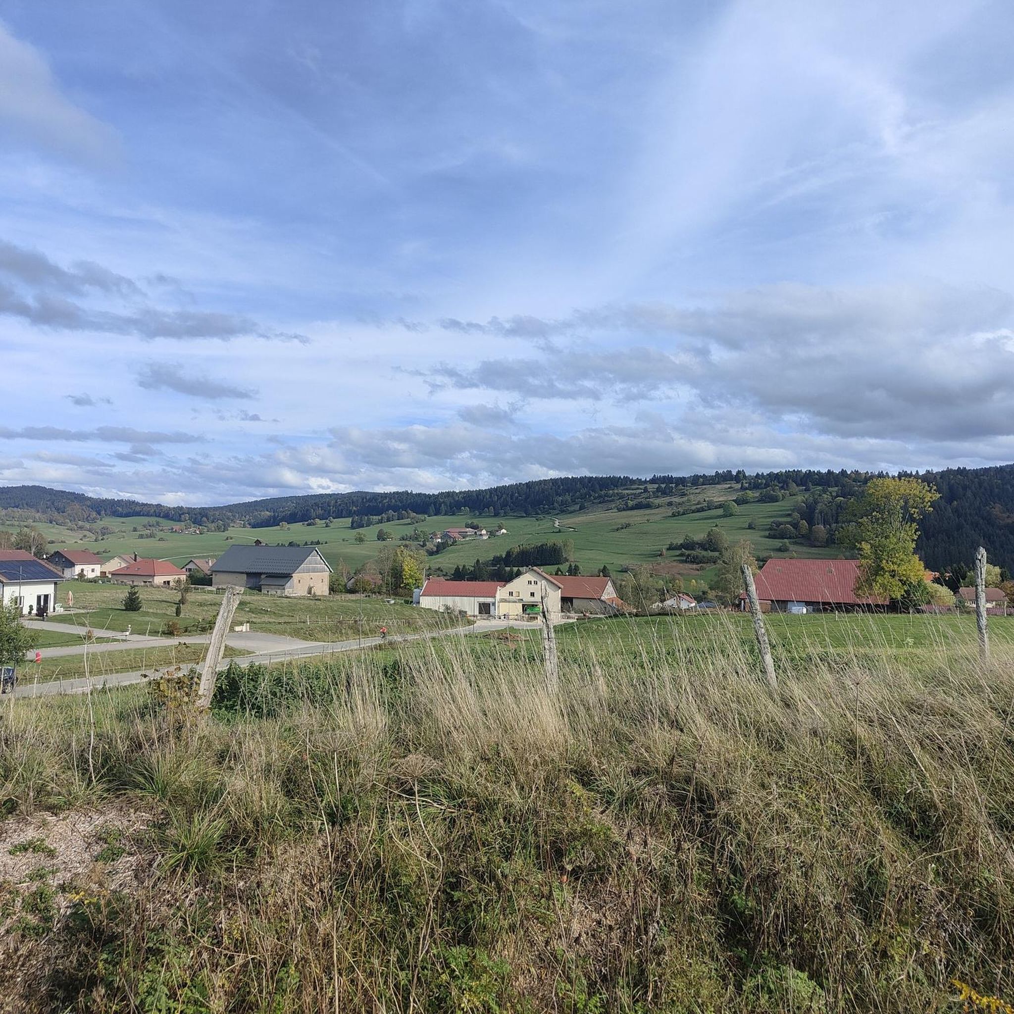
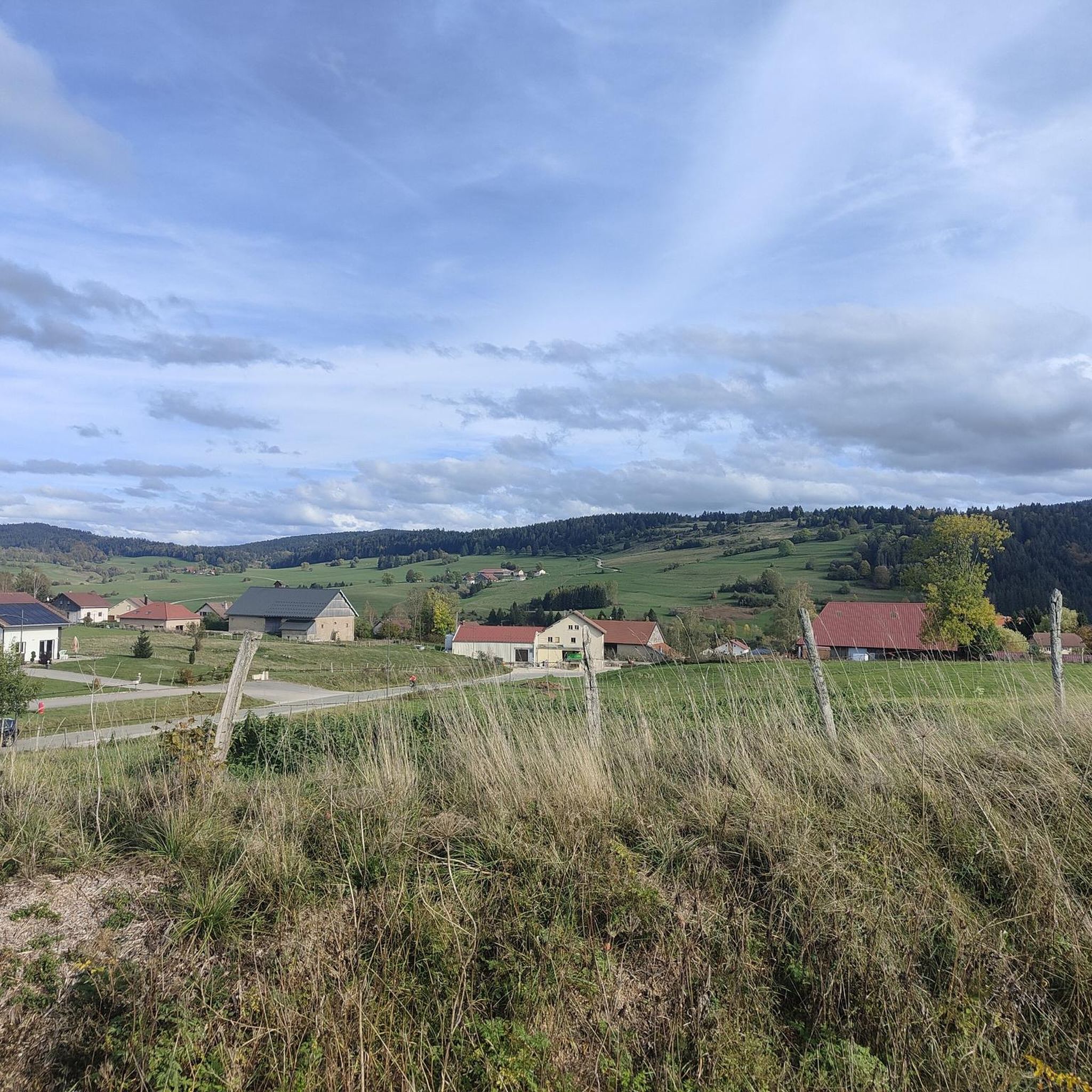
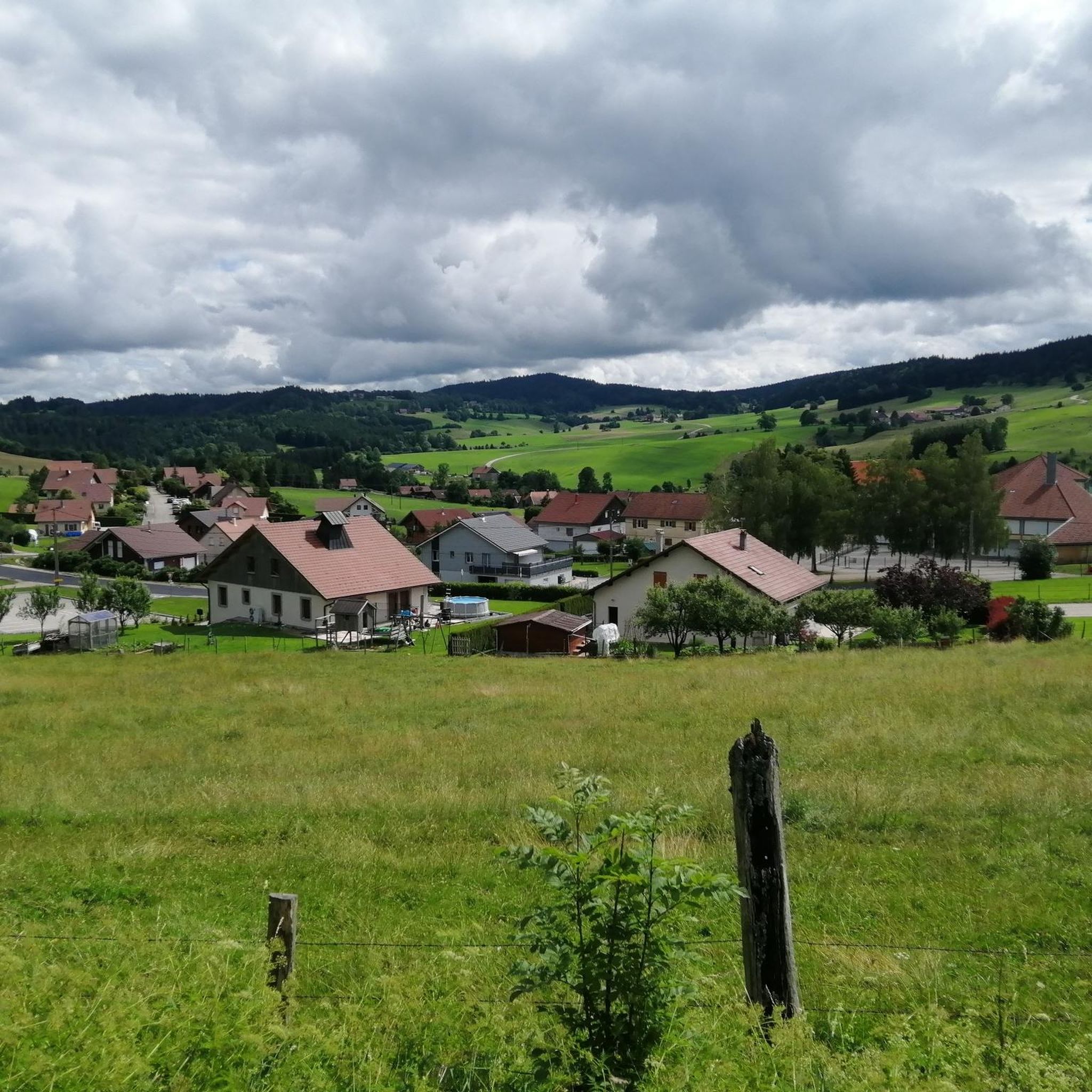

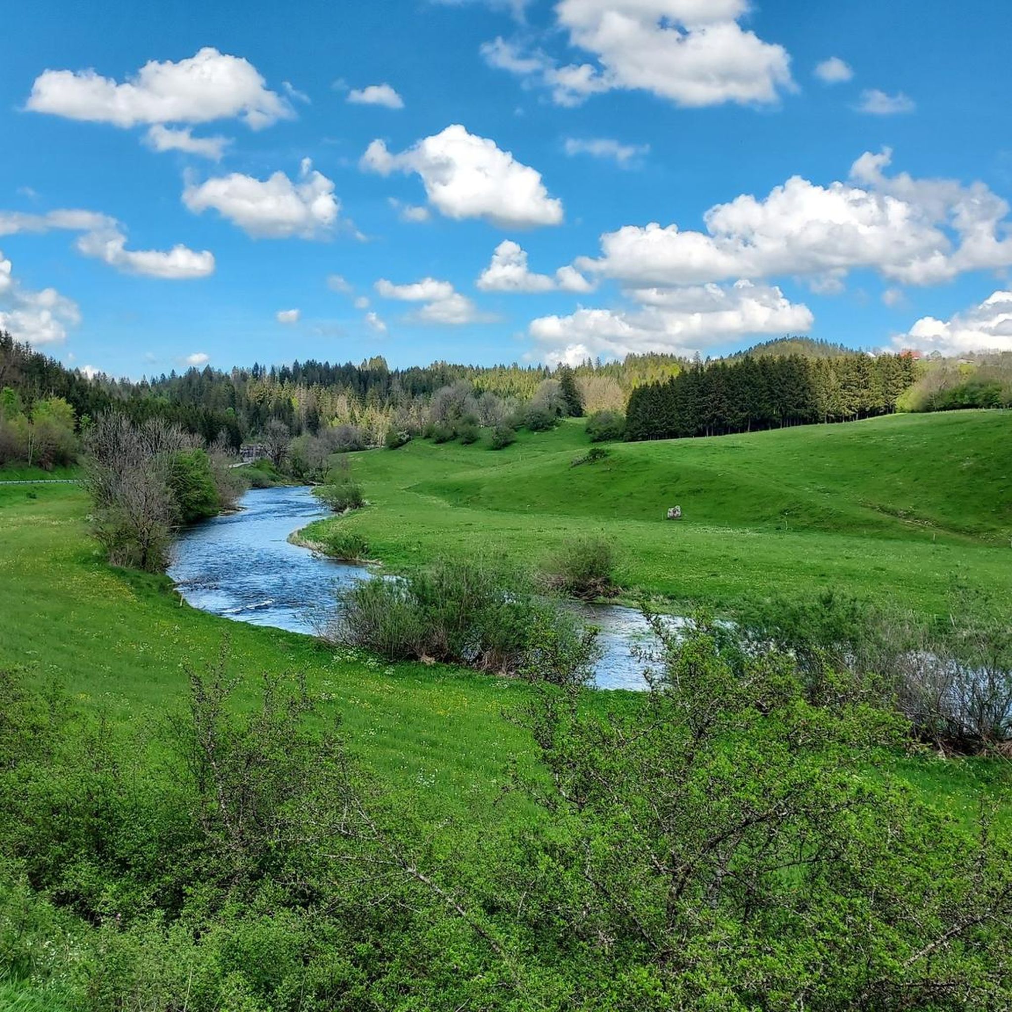
Tips from the Community

a beautiful, breathtaking landscape. We were completely enchanted! Simply beautiful to ride.
0
0


This path along the edge of fields and the forest leading to Cornabey is very pleasant. You cross a small bridge to span the stream.
0
0
This beautiful section unfolds along winding singletrack amidst the Jura fir trees. A real treat for gravel bikers and mountain bikers.
0
0

Very quiet street in the countryside.
0
0

From here you have a wonderful view of the lake, which lies in a hollow surrounded by green pastures and forests.
1
0


Frequently Asked Questions
How many gravel bike trails are available around La Longeville?
There are over 10 gravel bike routes in the La Longeville area, offering a mix of moderate and challenging options through the Jura mountains. You'll find 5 moderate and 7 difficult routes to explore.
Are there any easy or family-friendly gravel bike routes near La Longeville?
While most routes are moderate to difficult, the region offers some less strenuous options. For a moderate ride, consider the Gilley at the end of my dreams tour, which is 17.1 km long and takes about 1 hour 17 minutes. Another moderate choice is the La Brévine Weather Station – Lac des Taillères loop from Couvet, spanning 20.5 km.
What are some challenging gravel bike routes in the La Longeville area?
For experienced gravel bikers seeking a challenge, the region has several difficult routes. The Col sur le Mont – Col sur le Mont (987 m) loop from Morteau is a demanding 93.6 km trail, typically taking nearly 8 hours. Another difficult option is the Bridge over the Doubs – Morteau loop from Grand'Combe-Châteleu, which covers 37.9 km with significant elevation changes.
Are there circular gravel bike routes available?
Yes, many of the gravel bike routes around La Longeville are designed as loops. Examples include the challenging Col sur le Mont – Bridge over the Doubs loop from Pays-de-Montbenoît, a 65.2 km ride, and the La Brévine Weather Station – Lac des Taillères loop from Couvet, which is 20.5 km long.
What kind of terrain can I expect on gravel bike trails in La Longeville?
The terrain around La Longeville is varied, characteristic of the Jura mountains. You'll encounter dense forests, scenic river valleys, and rolling hills. Routes often feature a mix of forest tracks and more open paths, with elevations ranging from gentle climbs to more challenging ascents.
What are the best times of year for gravel biking in La Longeville?
Gravel biking in La Longeville is generally best during the spring, summer, and autumn months when the weather is milder and trails are clear of snow. The region's varied terrain, including forest paths, makes it enjoyable across these seasons, though conditions can vary with elevation.
What scenic viewpoints or natural attractions can I find along the gravel bike routes?
The region offers numerous scenic spots. You can ride past Lake Taillères and enjoy the View of Lake Tallières. Other notable viewpoints include Le Barchet and Mont Vouillot Viewpoint. The area also features the Col sur le Mont and the unique landscape of the Siberia of Switzerland – the Vallée de la Brévine.
Are there any routes that pass by the Doubs river?
Yes, the challenging Col sur le Mont – Bridge over the Doubs loop from Pays-de-Montbenoît traverses varied terrain, including sections near the Doubs river, offering picturesque views along the way.
What do other gravel bikers say about the routes in La Longeville?
The gravel biking routes around La Longeville are highly rated by the komoot community, with an average score of 4.5 stars from over 8 reviews. Many of the 60+ gravel bikers who have explored the area praise the varied terrain and the beautiful natural landscapes of the Jura mountains.
Where can I find parking for gravel biking in La Longeville?
While specific parking locations are not detailed for each route, many tours start from villages or towns like Morteau, Pays-de-Montbenoît, or Couvet, where public parking facilities are typically available. It's advisable to check local parking options near your chosen starting point.
What is the typical duration for gravel bike rides in this region?
Ride durations vary significantly based on the route's length and difficulty. Shorter, moderate routes like Gilley at the end of my dreams can be completed in just over an hour, while longer, difficult tours such as the Col sur le Mont – Col sur le Mont (987 m) loop from Morteau can take nearly 8 hours.
Most popular routes around La Longeville
Most popular attractions around La Longeville

Get inspired with the komoot mobile app


Explore more
Browse the best Gravel rides in other regions.
