The best gravel rides around Challes-La-Montagne
5.0
(1)
22
riders
5
rides
Gravel biking around Challes-La-Montagne offers diverse terrain at the foothills of the Bauges Massif, a UNESCO Global Geopark. The region features varied relief with altitudes ranging from 290 to 720 meters, surrounded by mountains like Saint-Michel and Granier. Water features such as streams and nearby lakes like Lake Bourget and Lake Saint-André define the landscape. The area also includes sunny vineyards on south-facing slopes, providing a mix of natural environments for gravel cycling.
Best gravel bike trails around Challes-La-Montagne
- The…
Last updated: May 23, 2026
5.0
(1)
13
riders
44.9km
03:03
700m
700m
Hard gravel ride. Very good fitness required. Mostly paved surfaces. Suitable for all skill levels.
3
riders
41.2km
03:00
450m
450m
Hard gravel ride. Very good fitness required. Mostly paved surfaces. Suitable for all skill levels.

Sign up for free
4
riders
21.0km
01:30
350m
350m
Moderate gravel ride. Good fitness required. Mostly paved surfaces. Suitable for all skill levels.
5.0
(1)
1
riders
33.3km
02:42
870m
870m
Hard gravel ride. Very good fitness required. Mostly paved surfaces. Suitable for all skill levels.
2
riders
40.9km
02:52
770m
770m
Hard gravel ride. Very good fitness required. Mostly paved surfaces. Suitable for all skill levels.
Our route recommendations are based on thousands of hikes, rides, and runs completed by other people on komoot.
Start today with a free account
Your next adventure awaits.
Login or Signup
Tips from the Community

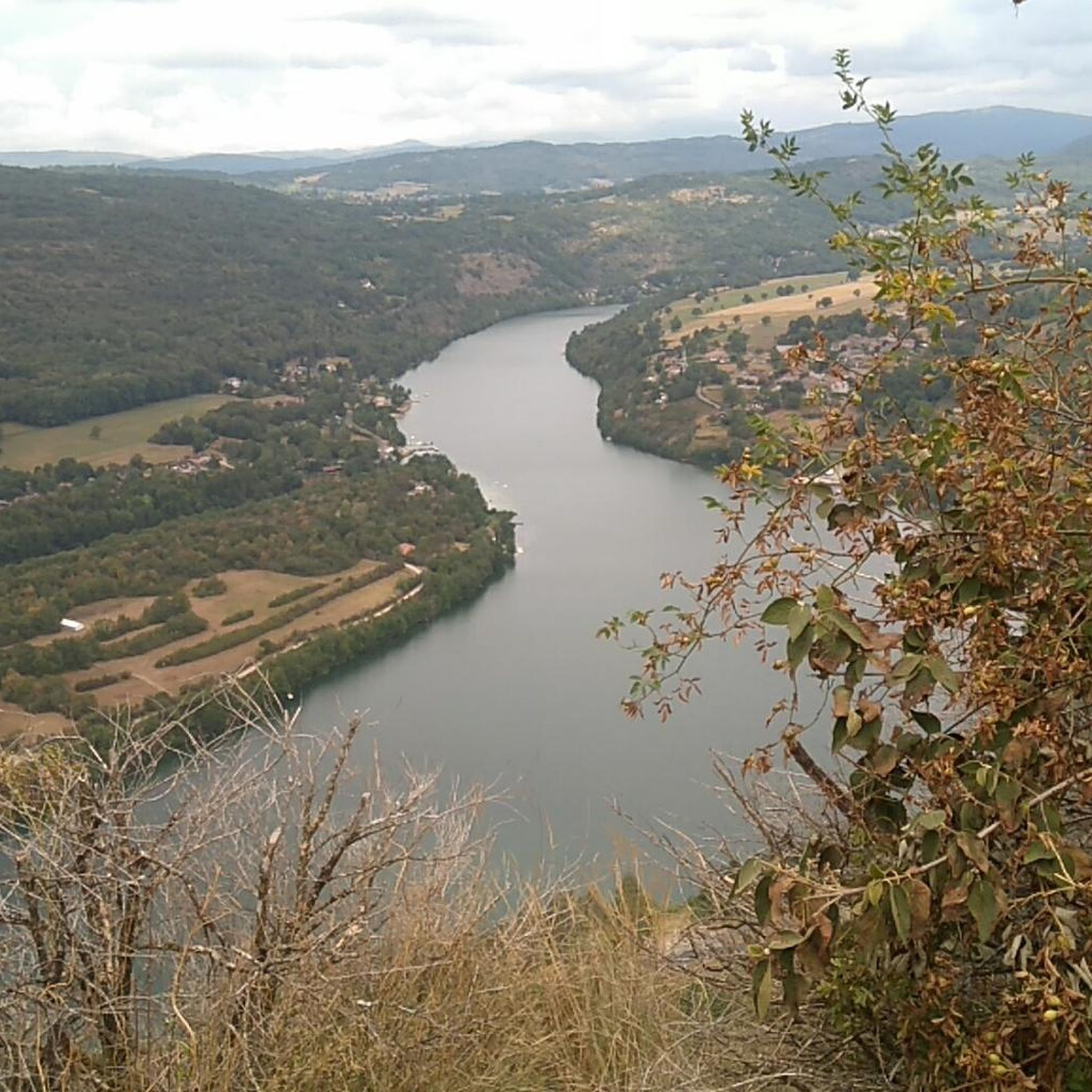
The Lac de Nantua is a superb body of water of 141 hectares. In the heart of the Jura, it offers an ideal setting for practicing a multitude of sports. It is even possible to swim in its waters.
1
0

The Abbey of Ambronay was founded in 800 by Barnard de Romans, a soldier, an officer of Charlemagne, and a future saint canonized in 944. The abbey church, built on the ruins of the Carolingian church, features gargoyles, sculptures, and paintings that will amuse children with their fascinating details. The cloister is a space of serenity that invites meditation: your imagination may perhaps chase some ghostly figures of monks. The visit will end in the gardens where you will discover medicinal plants on the botanical trail. https://www.ain-tourisme.com/visiter-patrimoine/monuments-religieux-a-visiter-dans-l-ain/abbaye-benedictine-dambronay/
0
0

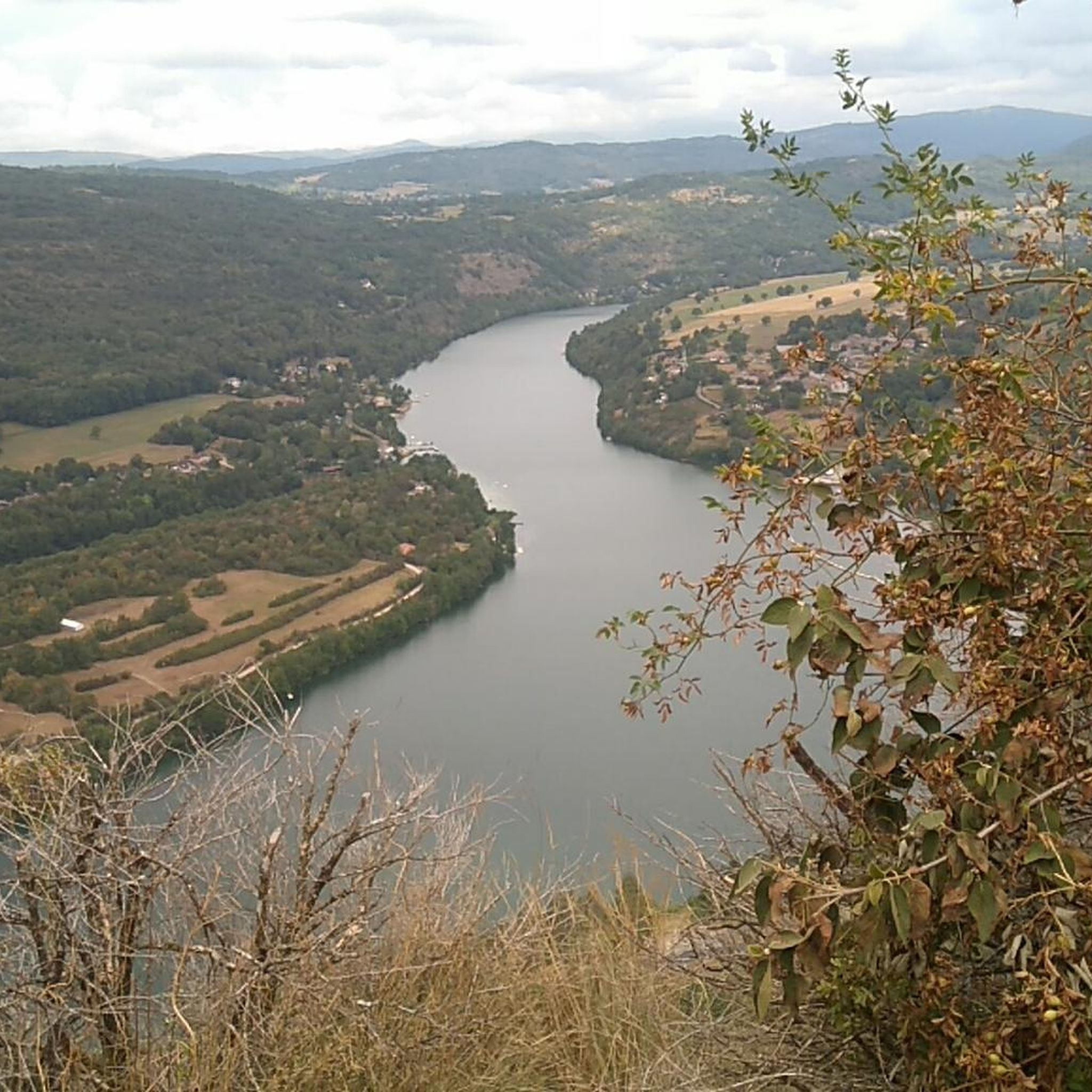
Beautiful, simple, easy walk; lots of traffic noise on the "road" section, a bit of a shame, but the color of the water is magical
1
0

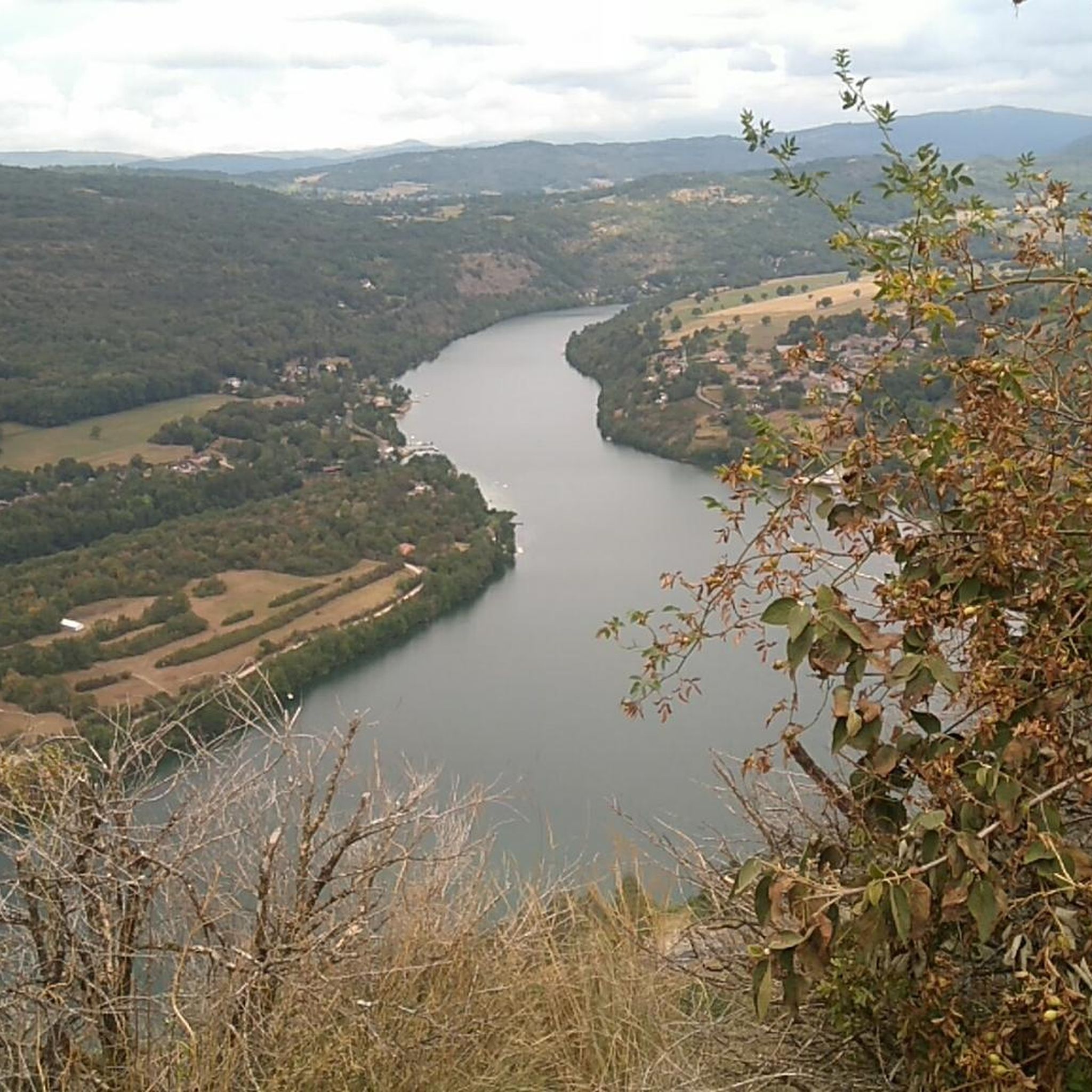
My phone was dead, and the tour was 38 km long with 1,100 meters of elevation gain. The terrain was very wet and snowy. In dry weather, the hike must be even more enjoyable, but you need to be in good physical condition; there are some really nice sections with beautiful views.
0
0

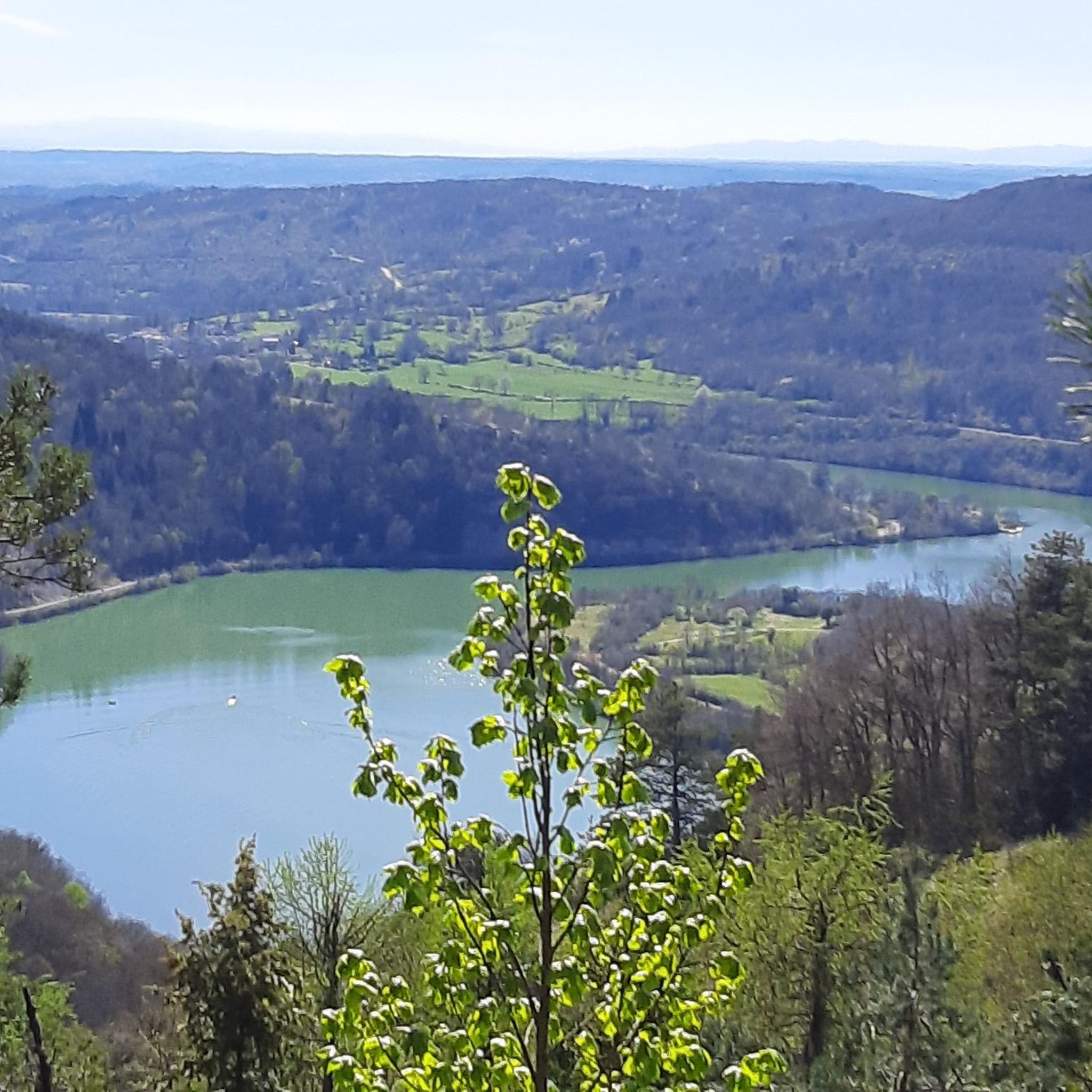
Unfortunately I was unlucky with the weather, but even as I drove past the place looked very nice, lots of grass and a place to swim.
0
0

beautiful village and superb abbey
1
0

Pass in the town of Montgriffon at 770 m altitude.
0
0
Frequently Asked Questions
How many gravel bike trails are available around Challes-La-Montagne?
There are 8 gravel bike routes available around Challes-La-Montagne. These routes offer a diverse range of experiences, from moderate to difficult, exploring the varied terrain of the region.
What is the general difficulty level of gravel biking trails in this region?
The gravel biking trails around Challes-La-Montagne are predominantly challenging, with 6 routes rated as difficult and 2 as moderate. This reflects the mountainous terrain and significant elevation gains found in the area, offering a rewarding experience for experienced riders.
What kind of landscapes can I expect on gravel bike routes near Challes-La-Montagne?
Gravel biking in Challes-La-Montagne offers a rich tapestry of landscapes. You'll traverse mountainous paths, scenic vineyard trails on south-facing slopes, and routes through natural parks. The region is characterized by its proximity to the Bauges Massif, streams like La Mère and Furieuse, and nearby lakes such as Lake Bourget and Lake Saint-André, providing a mix of natural environments.
Are there any circular gravel bike routes in the area?
Yes, many of the routes around Challes-La-Montagne are designed as loops. For example, you can explore the Poncin — Medieval Village – View of the Viaduc de Poncin loop from Poncin, which is a moderate 13.0-mile route, or the Ambronay Abbey loop from Jujurieux, a 25.4-mile trail through varied landscapes.
What do other gravel bikers say about the trails in Challes-La-Montagne?
The gravel biking routes in Challes-La-Montagne are highly rated by the komoot community, with an average score of 3.5 stars. Over 30 gravel bikers have used komoot to explore the varied terrain, often praising the unique combination of mountainous paths, vineyard trails, and routes through natural parks.
What are some notable natural attractions or viewpoints along the gravel bike routes?
The region offers several natural attractions and scenic viewpoints. You might encounter the Cascade de la Pisse Vache, a beautiful waterfall, or the Jarbonnet Rocks, which offer panoramic views. The area's mountainous terrain, including peaks like Mont Saint-Michel, also provides numerous opportunities for breathtaking vistas.
Are there any historical or cultural points of interest near the gravel biking trails?
Yes, Challes-les-Eaux itself has a rich history as a spa town. You can also find the notable Cerdon Caves nearby, offering a unique geological experience. Additionally, the Memorial to the Maquis of Ain and Haut-Jura is a significant historical landmark in the vicinity.
What is the best time of year for gravel biking in Challes-La-Montagne?
Given the region's diverse terrain, including mountainous paths and vineyards, spring and autumn generally offer the most pleasant conditions for gravel biking, with milder temperatures and vibrant scenery. Summer can also be excellent, especially for higher elevation routes, but be prepared for warmer weather. Winter riding might be possible on lower trails, but higher passes could be snow-covered.
Are there any family-friendly gravel biking options?
While many routes in the area are rated moderate to difficult, the diverse network of trails means there are likely flatter sections or shorter loops suitable for families. It's recommended to check the specific route details on komoot for elevation gain and distance to find the best fit for your family's ability.
Where can I find parking for gravel biking trails in Challes-La-Montagne?
Many of the gravel biking routes start from towns or villages like Poncin, Jujurieux, or Brion - Montréal-la-Cluse, where public parking is typically available. It's advisable to check the starting point of your chosen route on komoot for specific parking information or local recommendations.
Can I access the gravel biking trails using public transport?
Challes-les-Eaux is located near Chambéry, which is a regional transport hub. While direct public transport access to every trail start might be limited, you can often reach the general area by train or bus to nearby towns and then cycle to the trailhead. Planning your route with public transport in mind is recommended.
Are there any routes that offer views of the famous lakes in the region?
Yes, the region is known for its beautiful lakes. While specific routes directly from Challes-La-Montagne might vary, the broader area offers opportunities to see Lake Bourget, Lake Aiguebelette, and Lake Saint-André. For example, the Lake Nantua – Lac de Nantua loop from Brion - Montréal-la-Cluse provides significant elevation gain around a lake, offering scenic views.
Most popular routes around Challes-La-Montagne
Most popular attractions around Challes-La-Montagne

Get inspired with the komoot mobile app


Explore more
Browse the best Gravel rides in other regions.
