The best gravel rides around Néronde
4.0
(1)
12
riders
1
ride
Gravel biking around Néronde features a landscape characterized by rolling hills and agricultural plains, interspersed with wooded sections. The region offers varied terrain suitable for gravel bikes, including unpaved farm tracks and quiet country roads. Elevations range from gentle ascents to more challenging climbs, providing diverse riding experiences.
Best gravel bike trails around Néronde
- The most popular gravel bike trail is Matagrin Tower – Matagrin Tower loop from Feurs, a difficult 42.8 miles (68.9 km) trail that takes 5…
Last updated: November 3, 2026
4.0
(1)
8
riders
71.8km
05:17
1,190m
1,190m
Hard gravel ride. Very good fitness required. Mostly paved surfaces.
1
riders
38.8km
03:03
650m
650m
Hard gravel ride. Very good fitness required. Mostly paved surfaces.

2
riders
26.1km
02:23
680m
670m
Hard gravel ride. Very good fitness required. Mostly paved surfaces.
2
riders
60.1km
04:50
1,140m
1,140m
Hard gravel ride. Very good fitness required. Mostly paved surfaces.
Our route recommendations are based on thousands of hikes, rides, and runs completed by other people on komoot.
Start today with a free account
Your next adventure awaits.
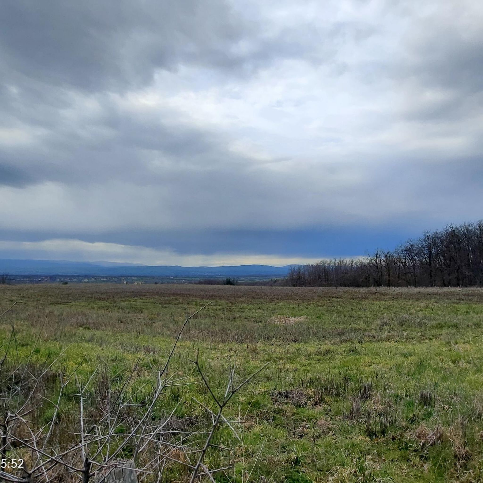
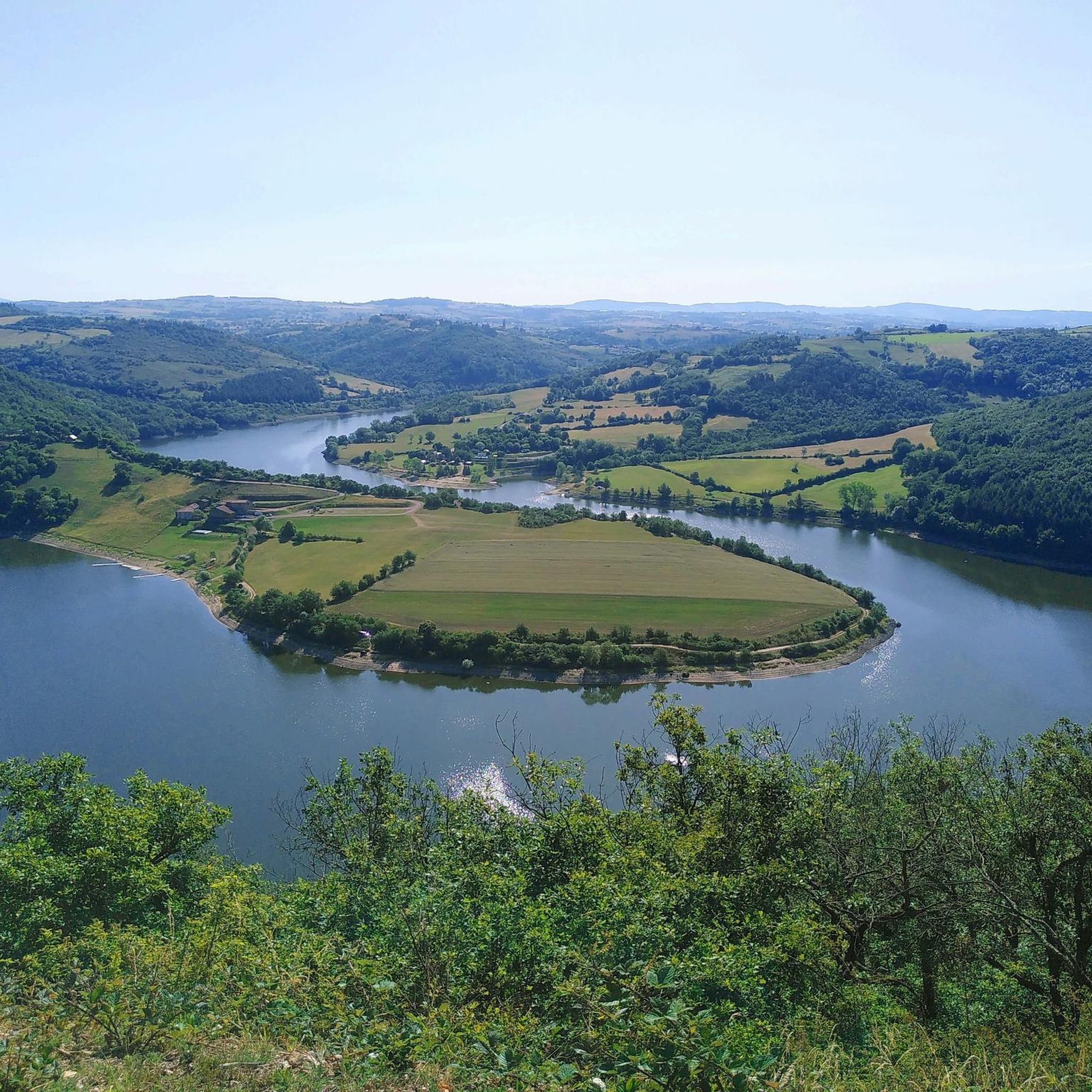

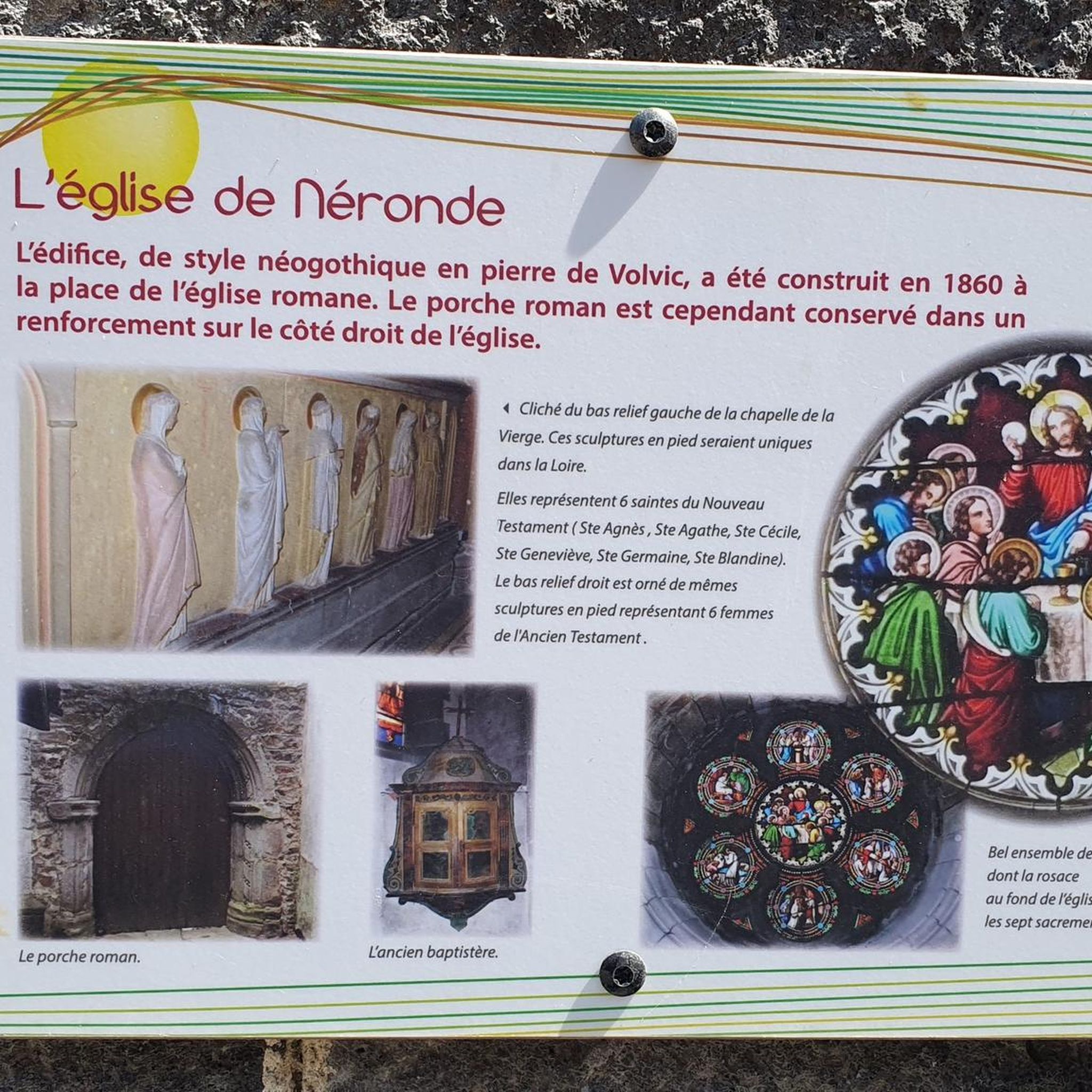
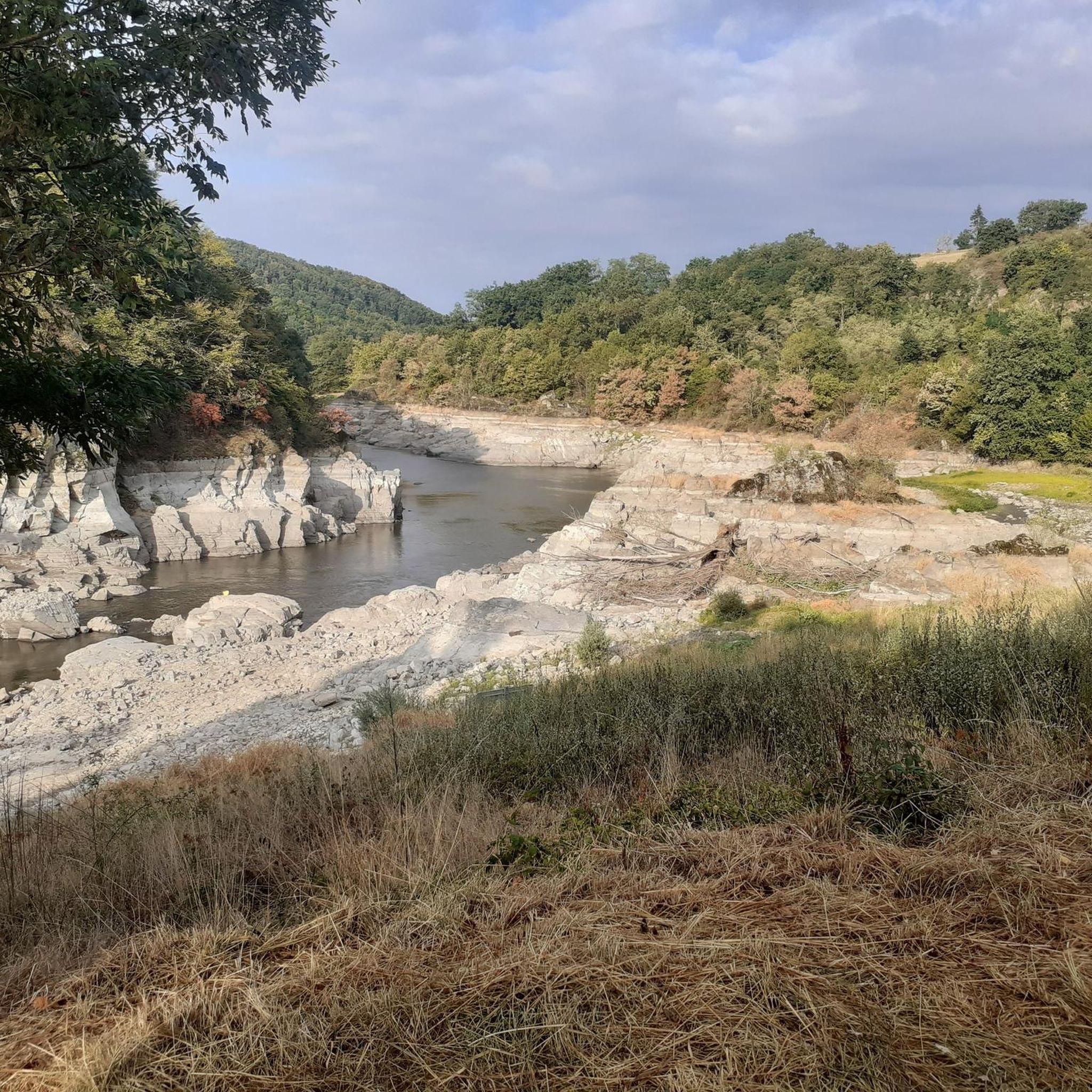
Tips from the Community

At the church you can take a wonderful rest and even borrow books to read.
0
0

take the stairs to Chemin du Tacot in Sainte Colombe
0
0


Very beautiful church, Parish mass every Sunday at 10:30 a.m Market fair on Tuesdays at 9:30 a.m.
0
0
circuit with some slightly delicate passages but without great difficulty, a small part on the road but a very beautiful circuit to do.
0
0
very nice circuit with 2 difficult passages (lots of stones in the path) good physical conditions.
0
0
Frequently Asked Questions
What is the general difficulty level of gravel biking trails around Néronde?
The gravel biking trails around Néronde offer a range of difficulties. While some routes, like the Pommiers-en-Forez Priory – Pommiers-en-Forez loop from Nervieux, are considered easy with moderate elevation, others feature significant climbs, making them more challenging. The region's rolling hills provide varied terrain suitable for different skill levels.
Are there any family-friendly gravel bike routes in the Néronde area?
For families or those seeking a less strenuous ride, the Pommiers-en-Forez Priory – Pommiers-en-Forez loop from Nervieux is a good option. This 15.2-mile (24.5 km) trail is rated as easy and leads through agricultural land, offering a pleasant experience without excessive elevation gain.
What are the typical distances for gravel bike trails around Néronde?
Gravel bike trails in Néronde vary in length. You can find shorter loops, such as the Pommiers-en-Forez Priory – Pommiers-en-Forez loop from Nervieux at 15.2 miles (24.5 km), as well as longer, more demanding routes like the Matagrin Tower – Matagrin Tower loop from Feurs, which spans 42.8 miles (68.9 km).
Where can I find parking for gravel biking in Néronde?
Many gravel bike routes around Néronde start from towns like Feurs or Nervieux. These towns typically offer public parking facilities where you can leave your vehicle before heading out on your ride. Specific parking details are often available on individual route pages.
What kind of terrain can I expect on gravel bike trails in Néronde?
The terrain around Néronde is characterized by rolling hills, agricultural plains, and interspersed wooded sections. You'll encounter a mix of unpaved farm tracks and quiet country roads, providing a classic gravel biking experience with varied surfaces and elevations.
Are there any notable viewpoints or landmarks along the gravel bike routes?
Yes, several routes offer scenic views and pass by interesting landmarks. For instance, the Matagrin Tower – Matagrin Tower loop from Feurs traverses varied terrain around the Matagrin Tower itself. Other points of interest in the broader region include the Pinay Bridge over the Loire and the Col de la Croix Cazard (865 m).
What is the best time of year for gravel biking in Néronde?
Spring and autumn generally offer the most pleasant conditions for gravel biking in Néronde, with milder temperatures and beautiful scenery. Summer can be warm, especially in the open agricultural plains, while winter rides are possible but may involve colder temperatures and potentially muddy sections on unpaved tracks.
Are there any loop trails available for gravel biking around Néronde?
Yes, many of the gravel bike routes in Néronde are designed as loops, allowing you to start and finish at the same point. Examples include the challenging Small Bridge Over Stream loop from Feurs and the easier Pommiers-en-Forez Priory – Pommiers-en-Forez loop from Nervieux.
What do other gravel bikers say about the trails in Néronde?
The gravel biking routes in Néronde are well-regarded by the komoot community, holding an average rating of 4.0 stars. Riders often appreciate the varied terrain, from quiet country roads to unpaved farm tracks, and the opportunity to explore the region's rolling hills and agricultural landscapes.
Are there options for advanced gravel bikers seeking a challenge?
Absolutely. Advanced gravel bikers will find routes with significant elevation gain, such as the Matagrin Tower – Matagrin Tower loop from Feurs. This 42.8-mile (68.9 km) trail features over 1,100 meters of ascent, providing a demanding ride through varied terrain.
Can I find cafes or places to refuel near the gravel bike trails?
The routes often pass through or near small towns and villages in the Néronde region, such as Feurs and Nervieux. These locations typically offer opportunities to find cafes, bakeries, or small shops where you can refuel and take a break during your ride.
Most popular attractions around Néronde

Get inspired with the komoot mobile app


Explore more
Browse the best Gravel rides in other regions.
