Top 13 Mountain Passes around Niederassel
Mountain passes around Niederassel are not a prominent feature of the local geography. Niederassel, likely referring to Niederkassel, is situated in the Rhein-Sieg district of North Rhine-Westphalia, Germany. This area is characterized by its low elevation, averaging around 55 meters above sea level, and its location along the Rhine River. The landscape primarily consists of residential areas, green spaces, and agricultural land, which does not support the formation of mountain passes.
Best mountain passes around Niederassel
- The komoot community has…
Last updated: July 23, 2026
Ballon de Servance
Highlight • Summit
The highest point in the Haute-Saône department, the Ballon de Servance is partly …
Translated by Google •
Tip by

Chevrères Pass
Highlight • Mountain Pass
Translated by Google •
Tip by

Sign up now to discover places like this
Get recommendations on the best single tracks, peaks, & plenty of other exciting outdoor places.
Sign up for free
Ascent of the Ballon d'Alsace from Saint-Maurice-sur-Moselle
Highlight (Segment) • Climb
Translated by Google •
Tip by

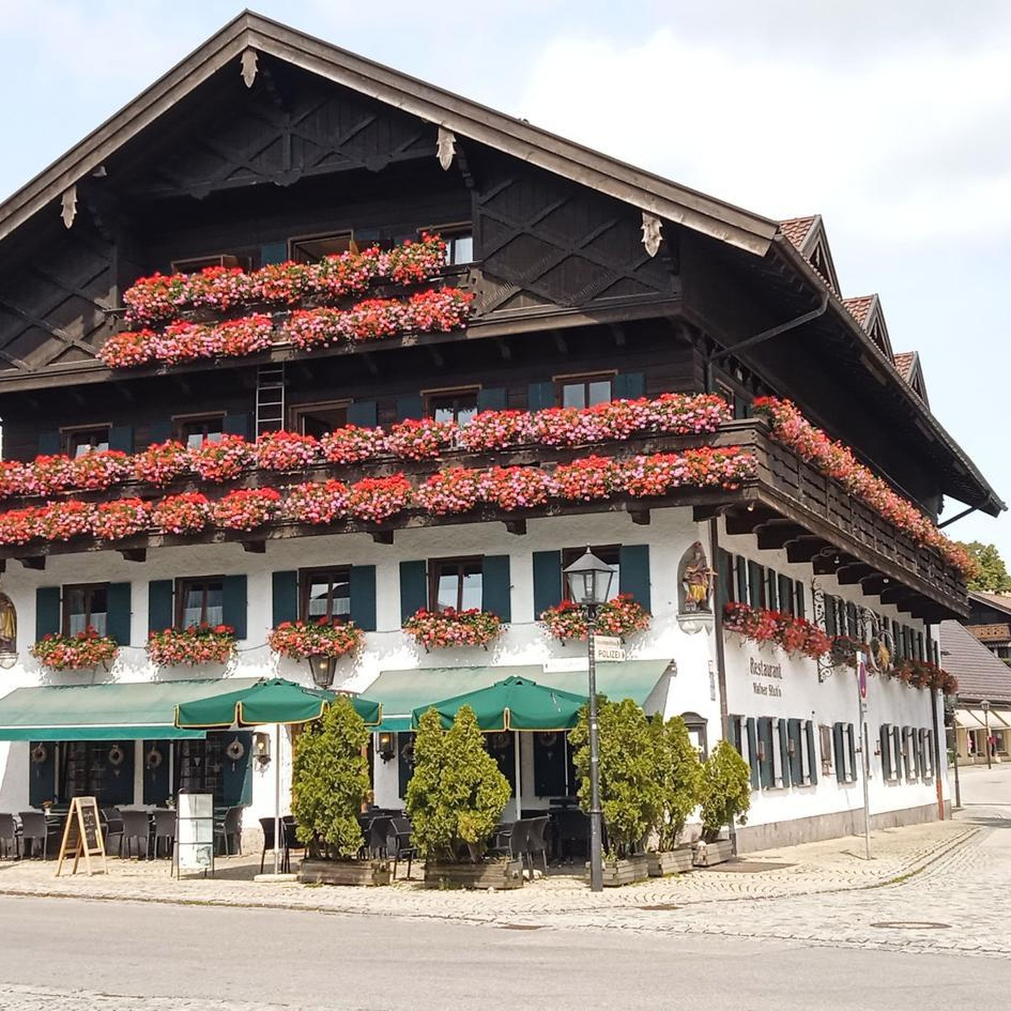
Ballon d'Alsace Inn
Highlight • Restaurant
Translated by Google •
Tip by

Col du Ballon d'Alsace
Highlight (Segment) • Mountain Pass
This 9-kilometer segment includes 700 meters of elevation gain, an average of 7.5%.
Translated by Google •
Tip by
Sign up for free to discover even more mountain passes around Niederassel.
Sign up for free
Already have an account?
Start today with a free account
Your next adventure awaits.
Login or Signup
Tips from the Community

It's superb but as always in this kind of place avoid busy times if possible.
0
0

Great selection of cakes, but you don't always get a seat 🙁.
0
0

I did it on a muscle bike without problem and now on an e-bike
0
0

A legendary pass of the Tour de France to do!
0
0

From Plancher-Bas or Plancher-les-Mines, the only difficulty is the Belfahy hill: around 500 m at 10-15%.
0
0
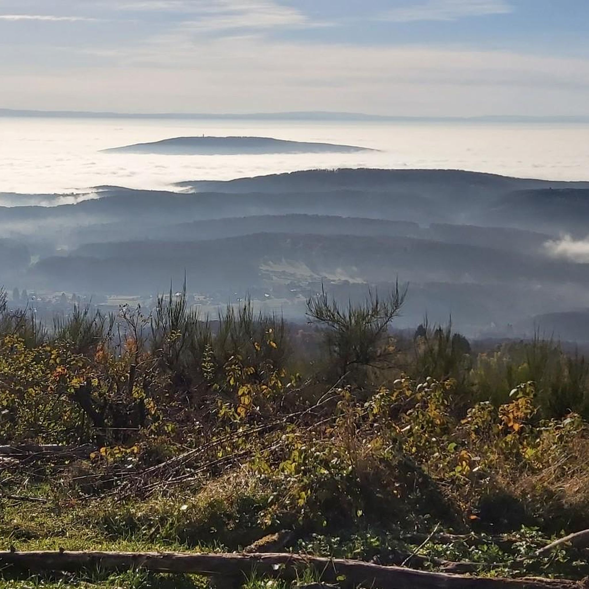
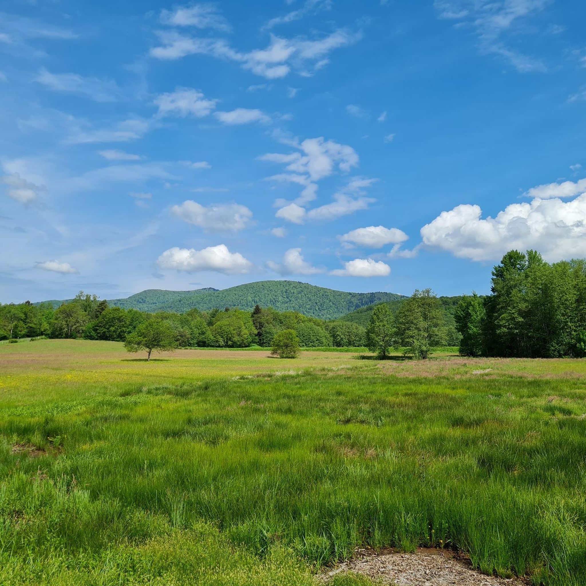
Superb view from the Ballon d'Alsace route.
0
0
The climb from Saint-Maurice-sur-Moselle is gentle, with nine kilometers at an average gradient of 6.9%.
2
0

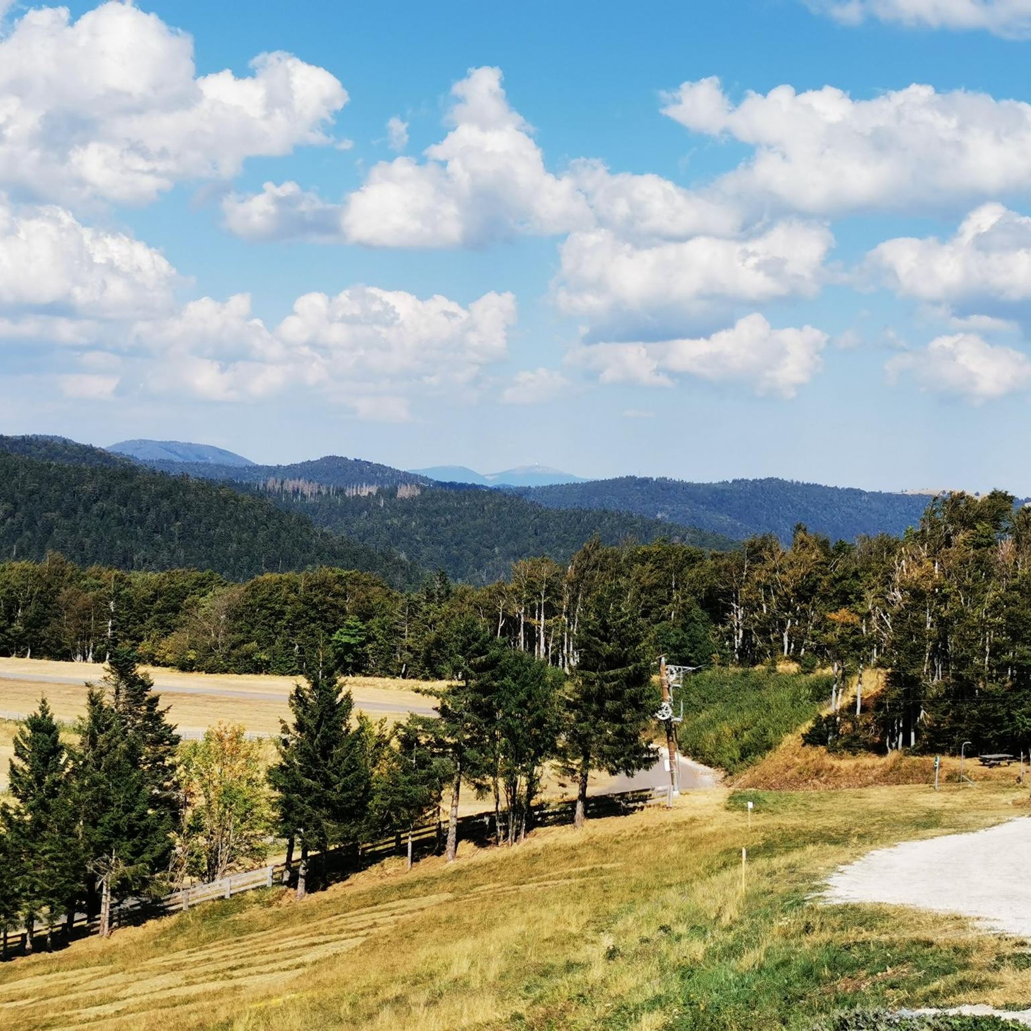
A piece of tarte aux myrtilles, typical of the Vosges, a coffee and the view of the southern ascent to the Ballon d'Alsace - this is the perfect way to enjoy reaching the summit.
1
0
Frequently Asked Questions
Are there any mountain passes in or directly around Niederassel?
No, the region around Niederassel (likely referring to Niederkassel) is characterized by its low elevation, averaging around 55 meters above sea level, and its location along the Rhine River. This landscape primarily consists of residential areas, green spaces, and agricultural land, which does not support the formation of mountain passes.
What kind of terrain can I expect in the Niederassel area?
The terrain in Niederassel is predominantly low-lying and flat, typical of a riverine landscape. You'll find a mix of residential areas, green spaces, and agricultural land, with gentle slopes rather than mountainous features.
What outdoor activities are available in the Niederassel region, given the lack of mountain passes?
While there are no mountain passes, Niederkassel offers opportunities for various outdoor activities, especially along the Rhine River and in its green spaces. You can find routes for MTB trails, running, and gravel biking in the broader area.
Are there any hiking trails suitable for families or beginners in Niederassel?
Yes, Niederkassel's flat and green landscape is well-suited for easy walks and family-friendly strolls, particularly along the Rhine or through local parks and agricultural areas. While not mountain passes, these offer pleasant outdoor experiences.
What is the best time of year to visit Niederassel for outdoor activities?
The best time to enjoy outdoor activities in Niederassel is typically during the spring, summer, and early autumn months when the weather is mild and the green spaces are in full bloom. Winter can also be pleasant for walks, though some paths might be less accessible.
Can I find scenic viewpoints or natural attractions in Niederassel?
While not offering mountain vistas, Niederassel provides scenic views along the Rhine River. The green spaces and agricultural lands also offer pleasant natural settings for walks and relaxation.
Are there any historical or cultural sites to visit in Niederkassel?
Niederkassel, as a town along the Rhine, has its own local history and cultural points of interest. While not related to mountain passes, visitors can explore local churches, historical buildings, or simply enjoy the riverfront atmosphere. For more general information, you can consult Wikipedia.
What are the public transport and parking options for accessing outdoor areas in Niederassel?
Niederkassel is well-connected by local public transport within the Rhein-Sieg district. Parking is generally available in designated areas within the town and near popular green spaces or river access points. Specific details would depend on your exact destination within the area.
Are there cafes, pubs, or accommodation options available in Niederassel?
As a town, Niederkassel offers various amenities including cafes, pubs, and accommodation options to suit different needs. These are typically found within the town center and surrounding residential areas.
Are there any dog-friendly trails or areas for walking in Niederassel?
Many of the green spaces and paths along the Rhine in Niederkassel are suitable for dog walking. It's always advisable to keep dogs on a leash and adhere to local regulations regarding pet access in public areas.
What makes the geography of Niederassel unique?
Niederassel's uniqueness stems from its low-lying, riverine geography along the Rhine, contrasting sharply with mountainous regions. Its blend of residential, agricultural, and green areas provides a distinct landscape for local recreation and living.
Most popular routes around Niederassel
Most popular attractions around Niederassel

Get inspired with the komoot mobile app


Explore more
See even more epic mountain passes by checking out these guides around Niederassel:
