The best gravel rides around Milwaukie
3.0
(2)
112
riders
4
rides
Gravel biking around Milwaukie, Oregon, offers diverse landscapes along the Willamette River and through natural areas. The region features a mix of paved and gravel trails, including sections of the Trolley Trail and Springwater Corridor. Riders can expect routes that traverse riverfronts, second-growth forests, and wetlands. The terrain includes both relatively flat sections and routes with significant elevation gain, catering to varied skill levels.
Best gravel bike trails around Milwaukie
- The most popular gravel bike trail is Leif Erikson Drive…
Last updated: May 15, 2026
4.0
(1)
73
riders
Hard gravel ride. Very good fitness required. Mostly paved surfaces. Suitable for all skill levels.
20
riders
Hard gravel ride. Very good fitness required. Mostly paved surfaces. Suitable for all skill levels.

Sign up for free
9
riders
Hard gravel ride. Very good fitness required. Mostly paved surfaces. Suitable for all skill levels.
2.0
(1)
10
riders
20.7km
01:21
170m
170m
Moderate gravel ride. Good fitness required. Mostly paved surfaces. Suitable for all skill levels.
Our route recommendations are based on thousands of hikes, rides, and runs completed by other people on komoot.
Start today with a free account
Your next adventure awaits.
Login or Signup
Tips from the Community

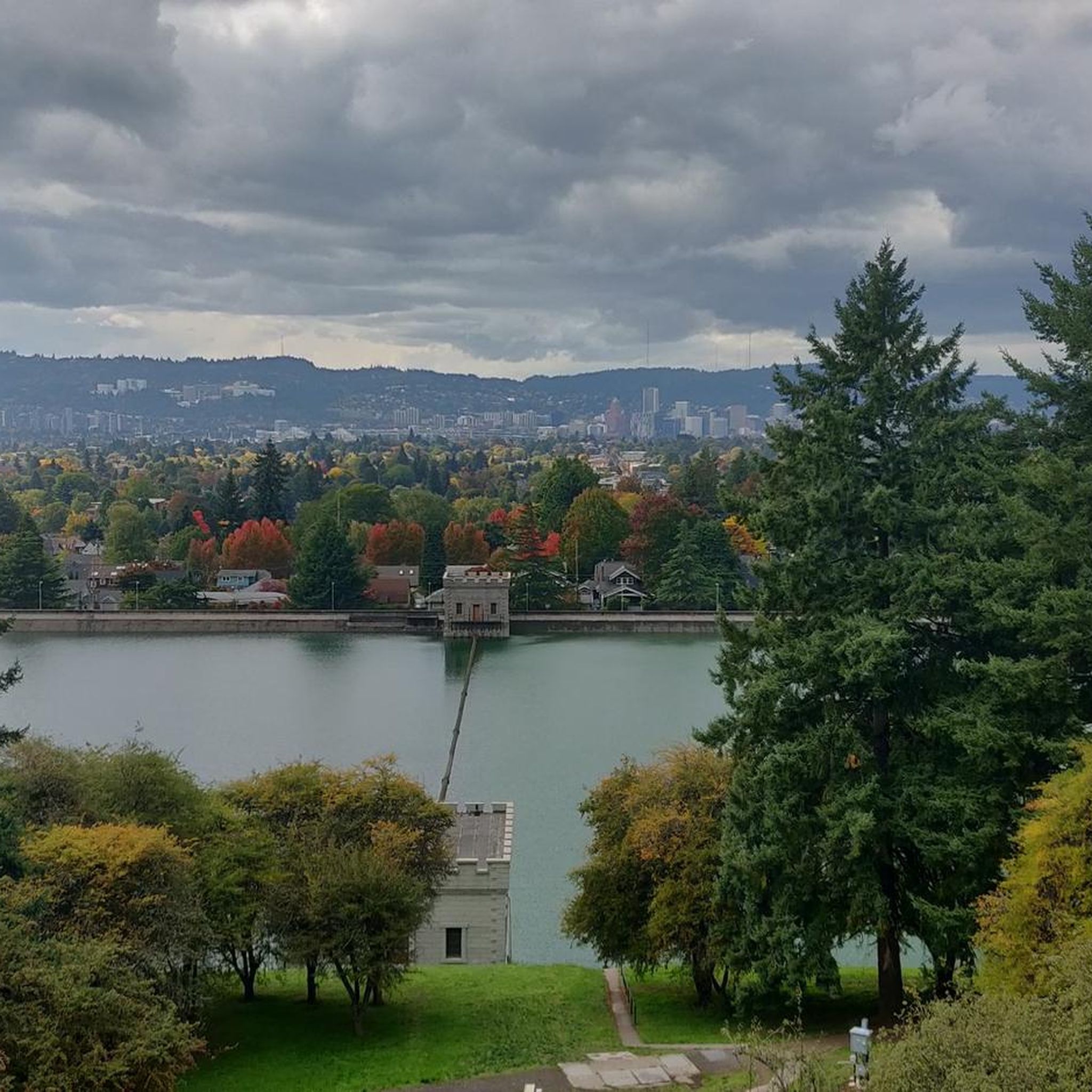
Council Crest Park spans 43 acres and is 1,073 feet above sea level, one of Portland's highest points. Visitors can enjoy city views and see five Cascade peaks: Mount Hood, Mount St. Helens, Mount Adams, Mount Jefferson, and Mount Rainier.
1
0

Salmon Street Springs is a popular spot for cyclists to gather. Thursday Night Ride starts there every Thursday at 7:30pm.
0
0

The Broadway Bridge was built in 1913. It was originally black, but was repainted red in 1963.
1
0

This trailhead marks a popular route for hikers in the area. It is .3 miles from the Wild Cherry Trail, .9 miles to the Dogwood Trail and 1.4 miles to the Alder Trail. If you head west, all of these connector trails reach the Wildwood Trail, which offers ample opportunities to create loop variations. It is important to note that parking is limited, especially on the weekends.
0
0
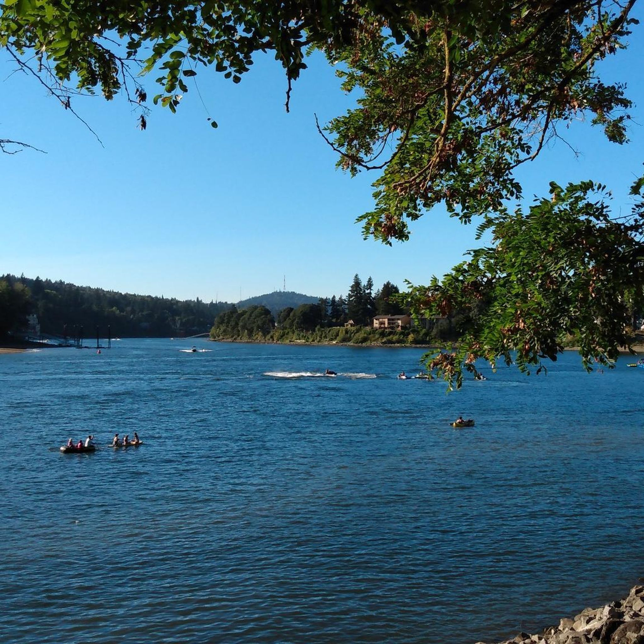
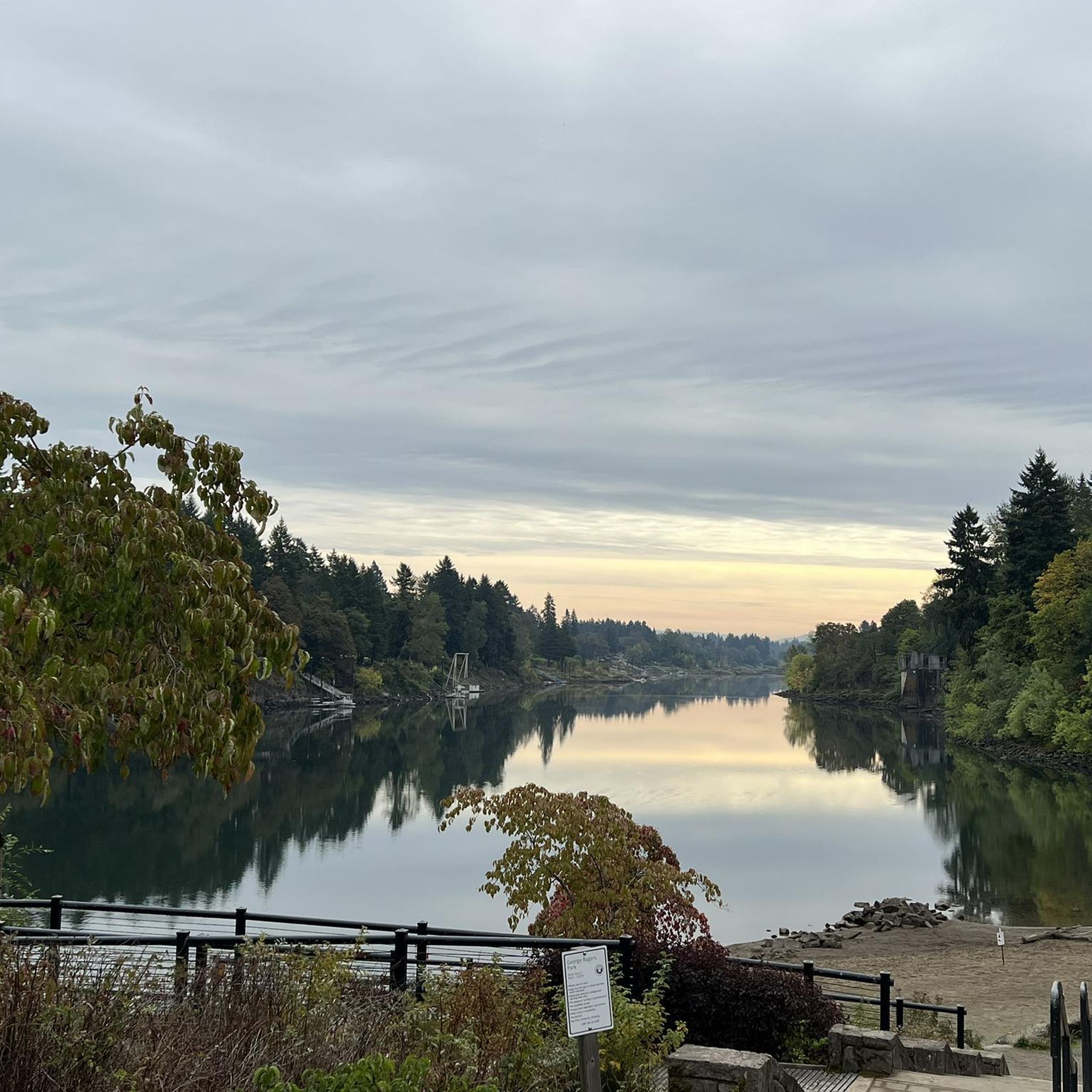
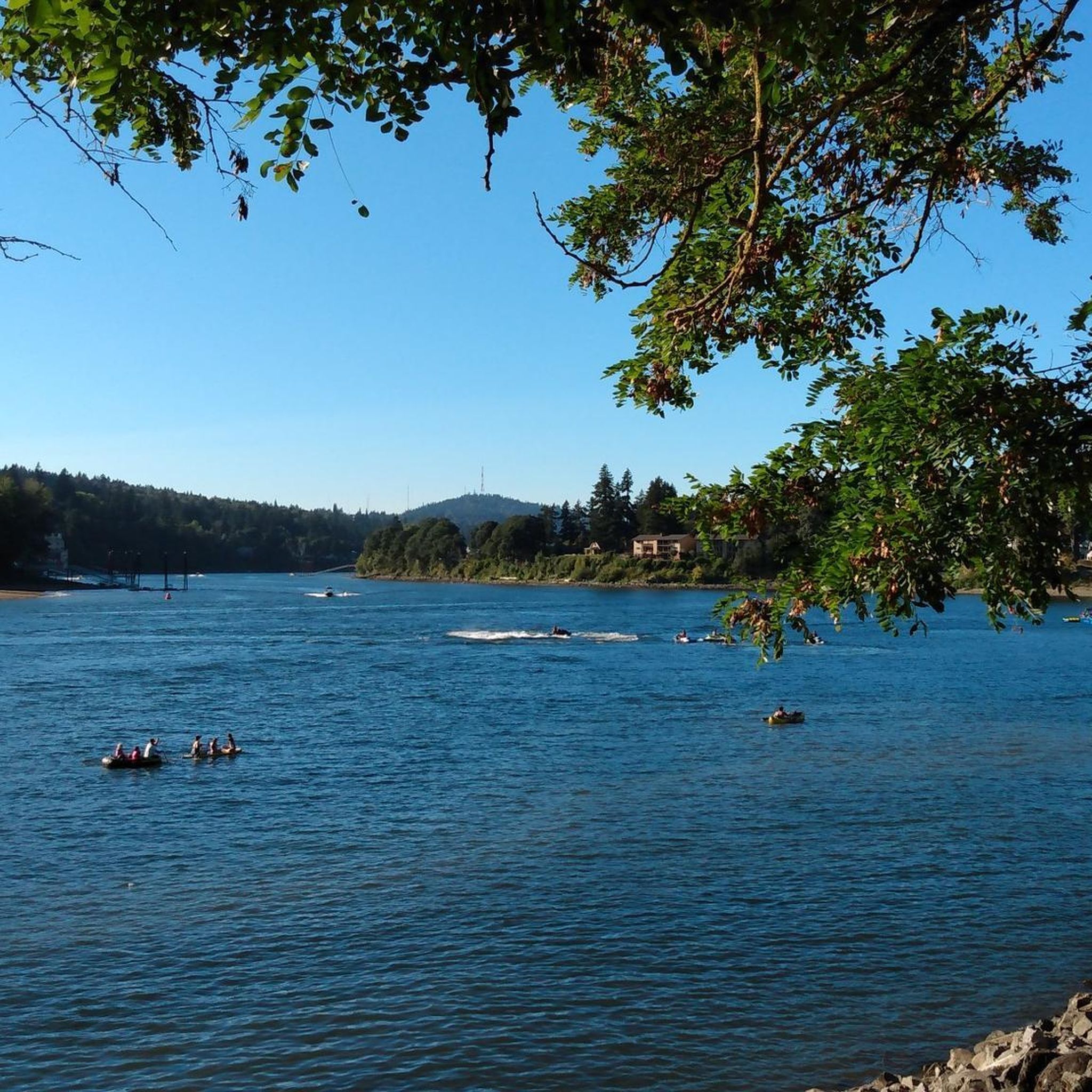
The Willamette River stretches over 255 miles from Cottage Grove in the southern Willamette Valley to Portland, where it meets the Columbia River. The Multnomah Channel branches off near Sauvie Island before joining the Columbia. The Willamette River Greenway offers a few open green spaces along the riverbanks, some with boat launches and basic amenities. Bikers also pass through preserved areas for native wildlife and with scenic views. This trail is a popular destination for biking, walking, and running along its shared paths.
0
0

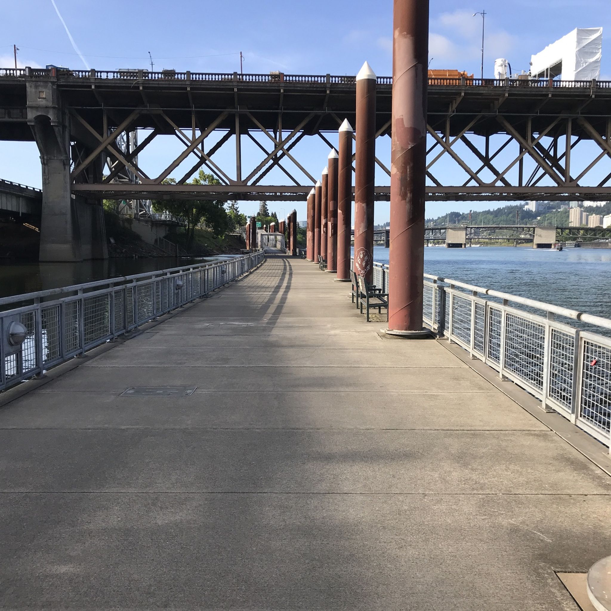
You can follow the Greenway for about two miles along the bank of the Willamette through downtown Portland. The trail takes you right along the water and is shared with hikers and dog walkers. The trail passes through a couple nice riverside parks and connects to plenty of other great cycling paths and roads.
0
0

This trail is a classic in Forest Park. It is popular with runners as well as walkers and cyclists. The trail is well maintained and runs through the forest from start to end, which makes it a great option for hot days.
1
0

This is a beautiful tree-lined stretch of road through Washington Park, with some fun ascents and descents. There are some quite steep sections along here but it's worth it for the scenery! Ride with caution as the road can be busy.
1
0
Frequently Asked Questions
How many gravel bike trails are available around Milwaukie?
There are 10 gravel bike routes documented around Milwaukie on komoot. These routes offer a variety of experiences, from moderate to difficult, catering to different skill levels.
What kind of terrain can I expect on gravel bike trails in Milwaukie?
Gravel biking around Milwaukie features diverse landscapes, including serene riverfronts along the Willamette River, second-growth forests, and wetlands. You'll encounter a mix of paved and gravel sections, with routes offering both relatively flat stretches and significant elevation gain, especially in areas like the nearby Coast Range.
Are there any challenging gravel bike routes in the Milwaukie area?
Yes, many of the gravel routes around Milwaukie are considered challenging. For instance, the Leif Erikson Drive – Northwest Leif Erikson Drive loop from PSU South/Southwest 6th & College is a difficult 67.9 km route with over 1,400 meters of elevation gain. Another demanding option is the Blumenauer Bridge – Eastbank Esplanade loop from Convention Center, covering 60.5 km with over 700 meters of climbing.
What are some scenic features or landmarks I might see on a gravel bike ride near Milwaukie?
Many routes offer scenic views of the Willamette River and urban parks. You can also explore natural areas like Milwaukie Bay Park, Spring Park Natural Area, and Oaks Bottom Wildlife Refuge. Notable landmarks and natural features in the broader area include the Sellwood Bridge, the Clackamas River, and the Tryon Creek forest.
Are there any routes that incorporate the Springwater Corridor or Trolley Trail?
Yes, the region's network includes sections of both. The Willamette River view – Springwater Corridor loop from Southeast Bybee Boulevard is a 57.3 km trail that utilizes the Springwater Corridor. The Trolley Trail, a popular 19-mile route with both paved and gravel sections, also connects with the Springwater Corridor and offers scenic views.
What do other gravel bikers say about the routes in Milwaukie?
The gravel biking routes in Milwaukie are highly rated by the komoot community, with an average score of 3.5 stars. Over 190 gravel bikers have used komoot to explore the varied terrain, often praising the serene riverfronts and diverse landscapes.
Are there any family-friendly gravel biking options in Milwaukie?
While many routes are rated difficult, the region's multi-use paths and sections of trails like the Trolley Trail can offer more accessible options for families. These often feature less elevation and a mix of paved and gravel surfaces, providing a gentler experience.
What is the best time of year for gravel biking in Milwaukie?
Milwaukie offers year-round gravel biking opportunities. However, the dry summer months are ideal for exploring areas like Elk Rock Island, which is accessible by foot when river levels are low. The Willamette Valley's low-traffic byways are enjoyable in various seasons, but checking local weather conditions is always recommended.
Are there any circular gravel bike routes around Milwaukie?
Yes, many of the routes are designed as loops. For example, the Leif Erikson Drive – Northwest Leif Erikson Drive loop from South Waterfront/South Moody is a 40.9 km circular route. Another option is the Eastbank Esplanade – Blumenauer Bridge loop from Hollywood/Northeast 42nd Avenue, which also forms a loop.
Can I find places to explore or viewpoints along the gravel trails?
Absolutely. The region is rich with natural areas and viewpoints. Beyond the riverfronts, you can find highlights like Mount Tabor, a viewpoint in Powell Butte Nature Park, and Council Crest, offering panoramic views. The Hoyt Arboretum also provides a beautiful natural setting.
Are there any routes that offer significant elevation gain for a challenging workout?
Yes, several routes provide substantial climbing. The Leif Erikson Drive – Northwest Leif Erikson Drive loop from PSU South/Southwest 6th & College stands out with over 1,400 meters of elevation gain. Other difficult routes like the Willamette River view – Springwater Corridor loop from Southeast Bybee Boulevard also feature over 670 meters of ascent.
Most popular attractions around Milwaukie

Get inspired with the komoot mobile app


Explore more
Browse the best Gravel rides in other regions.
