The best gravel rides around Lindridge
4.9
(7)
31
riders
5
rides
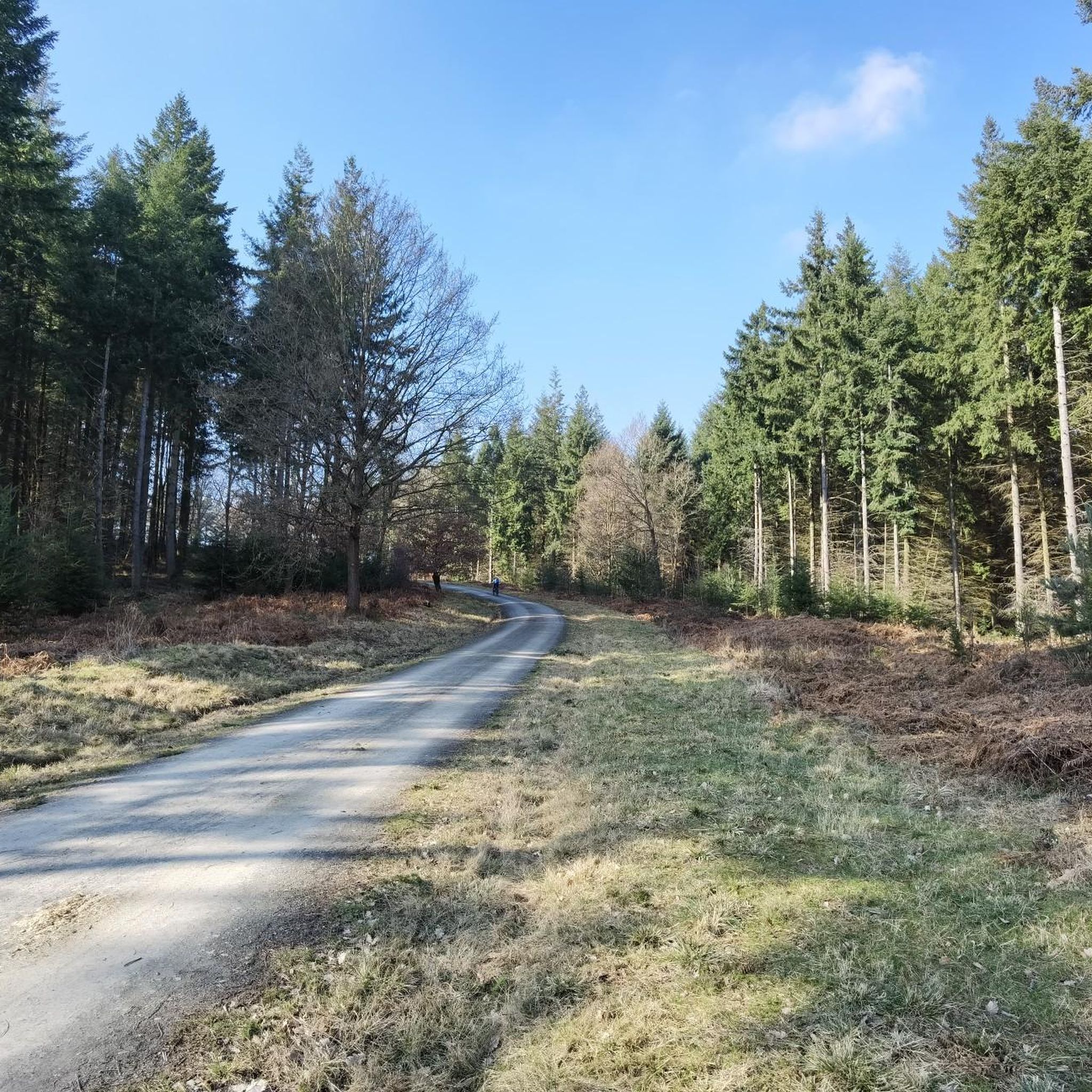
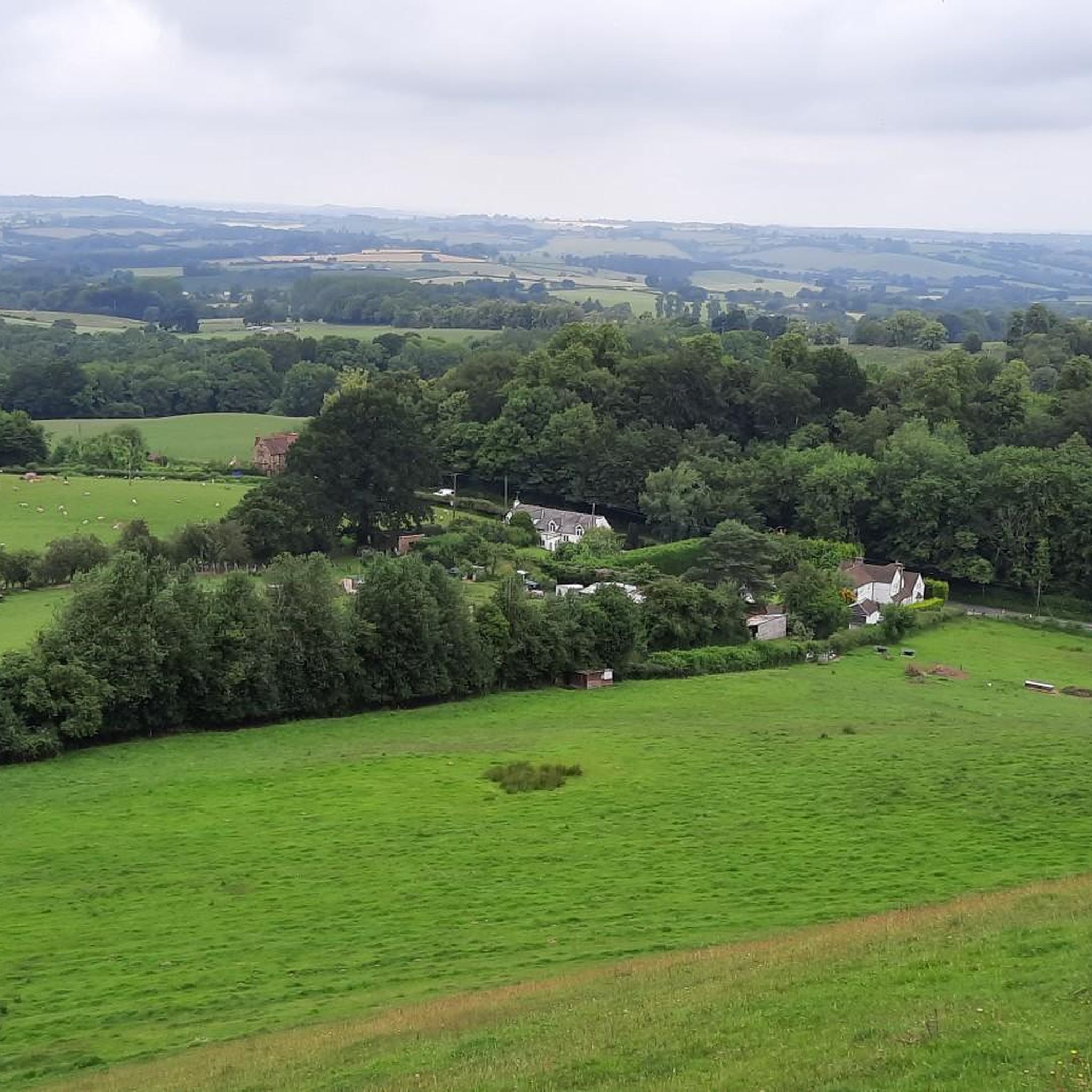
Gravel biking around Lindridge offers routes through the rural landscape of Worcestershire, situated in the Teme Valley. The area is characterized by extensive hop fields and a network of country roads and unpaved paths. Nearby Wyre Forest provides additional opportunities for off-road cycling, featuring varied terrain and woodlands. The region's topography includes gentle undulations suitable for mixed-surface riding.
Best gravel bike trails around Lindridge
- The most popular gravel bike trail is Wyre Forest – Wyre Forest loop from Bliss Gate…
Last updated: July 28, 2026
5.0
(1)
5
riders
15.4km
01:19
230m
230m
Hard gravel ride. Good fitness required. You may need to push your bike for some segments of this route.
5.0
(2)
14
riders
Moderate gravel ride. Good fitness required. Mostly paved surfaces. Suitable for all skill levels.
1
riders
5.44km
00:25
80m
80m
Easy gravel ride. Great for any fitness level. Mostly paved surfaces. Suitable for all skill levels.
Get access to more routes and recommendations from other explorers.
Sign up for free
Already have an account?
Our route recommendations are based on thousands of hikes, rides, and runs completed by other people on komoot.
Start today with a free account
Your next adventure awaits.
Login or Signup

Tips from the Community

Great area for some quiet biking
0
0


Knowles Mill is the remains of an eighteenth-century water-powered grain mill, located in the Wyre Forest in Worcestershire, England. The mill has been owned by the National Trust since 1938. The mill and its surroundings feature extant machinery, as well as notable populations of adders and wood cranesbill. One of nine possible mills that historically worked on Dowles Brook, Knowles Mill was built in the eighteenth-century, and was later modified in the nineteenth-century. The surviving building is two storeys high and the site also preserves an overshot mill wheel made of iron and a great spur wheel, alongside other remnant machinery. The first record of a mill on the site dates to 1757 when it was listed as for sale in a local newspaper. However there is documentary evidence preceding 1757 that lists owners of the land that the mill was built on. These owners include Arthur Palmer, c.1661, Edward Wheeler, c.1693, Roger Hunt, c.1704, Antony Betts, c.1717, Edward Faulkner, c.1722 and Daniel Crun, c.1735. The first owner of the mill was William Crun, in 1757. It passed through a number of owners, including William and Mary Herbert, William Nicholls and Arthur Nott. The mill takes its name from the Knowles family who worked there from 1803 to the 1870s; earlier names included Coventry Mill and Upper Town Mill. The first member of the family to be listed as owner was James Knowles. The mill continued in use until 1891, when it became no longer financially viable. It was donated to the National Trust by Paul Cadbury in 1938, along with four acres of orchards. The property was visited by the historian James Lees-Milne during his work as a curator for the Trust. Source: Wikipedia
0
0
Bewdley was once an important inland port, connecting Shrewsbury with the Midlands and the seaports of Gloucester and Bristol. Originally the quays were shorter and had slipways between them. In time, as more landing space was needed, the quayside walls were joined into one continuous length. The larger boats, known as Severn Trows, carried local goods such as rope and charcoal, metal goods from Birmingham and Staffordshire pottery to the south. They returned laden with woollen cloth, wine, spirits, tobacco, sugar, spices, citrus fruit and dried fish to be sold in market towns across the West Midlands and Welsh borders. This civic space was developed when the Environment Agency built the Town's new flood defences, and incorporates work by artist Elizabeth-Jane Grose. On the lower quayside you can find flowing words relating to the river and the vessels that worked on it. On the upper quayside have a look for the 'cargo-plates' recording forty of the common and less common exports and imports to the Port of Bewdley. Source: Environment Agency
0
0
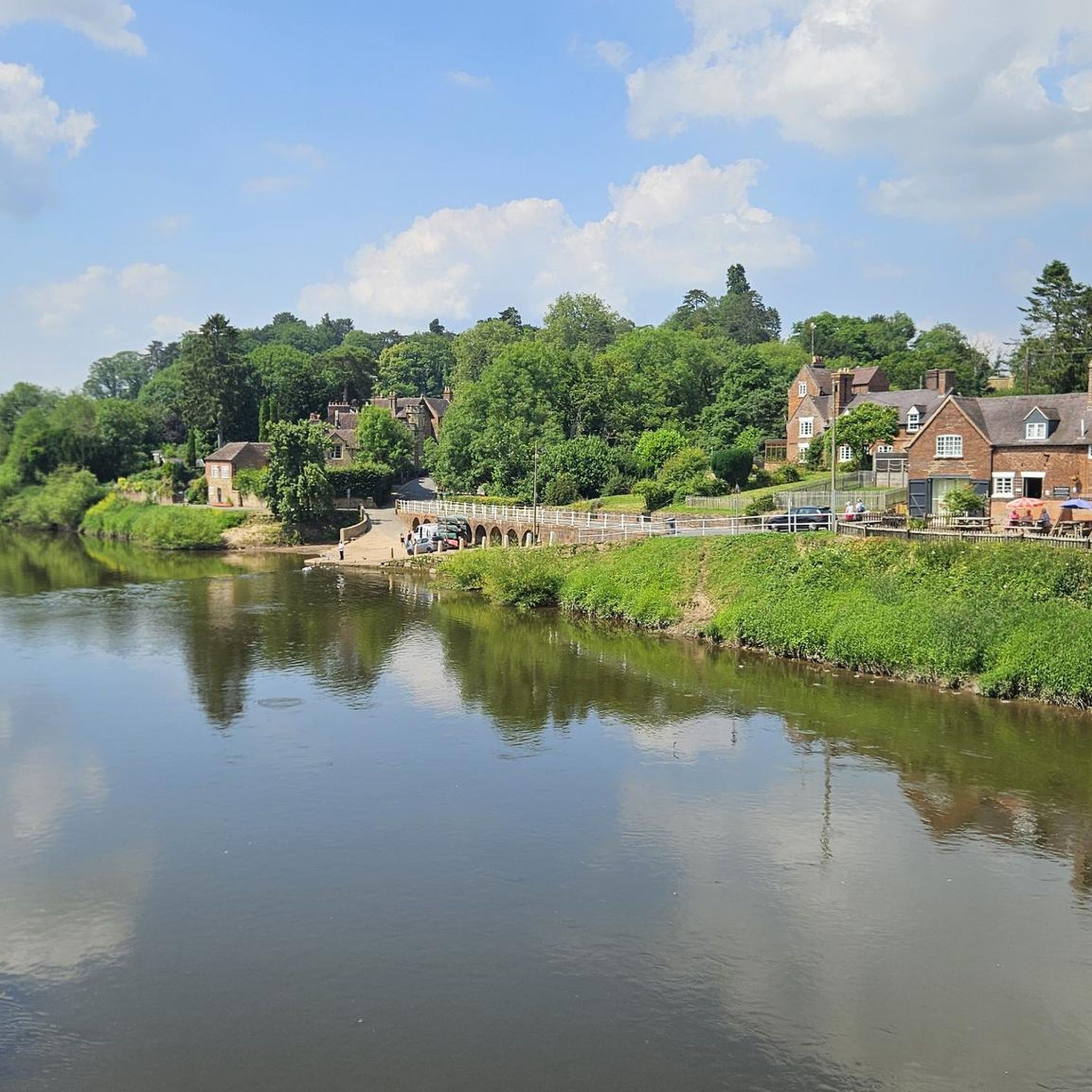
Bewdley Bridge over the Severn was built in 1798 by Thomas Telford. It was erected to replace the 1483 medieval bridge that was swept away in the floods of 1795.
0
0
Frequently Asked Questions
How many gravel bike trails are available around Lindridge?
There are 5 gravel bike routes detailed around Lindridge in this guide. These routes offer a mix of difficulties and lengths, primarily exploring the rural landscape and Wyre Forest.
What kind of terrain and difficulty can I expect on gravel bike trails near Lindridge?
The routes around Lindridge feature a mix of rural roads, agricultural paths, and dense woodlands, particularly within Wyre Forest. You'll find options ranging from easy loops, like the Wyre Forest Wooden Bridge – Wyre Forest loop from Bliss Gate, to more challenging routes with significant elevation gains, such as the Wyre Forest – Wyre Forest loop from Bliss Gate, which includes over 740 feet (226 meters) of climbing.
Are there any family-friendly gravel biking options in the Lindridge area?
Yes, for families or those seeking an easier ride, the Wyre Forest Wooden Bridge – Wyre Forest loop from Bliss Gate is an excellent choice. This easy 3.4-mile (5.4 km) route through Wyre Forest offers a shorter, less strenuous option for exploring the woodlands.
What attractions or landmarks can I see along the gravel bike trails near Lindridge?
While cycling, you can explore various points of interest. Within Wyre Forest, you might encounter the Worcestershire Natural Flood Management Project – Leaky Dams or the Wyre Forest Line Rail Trail. The historic Knowles Mill is also a notable site in the area. For scenic views, consider routes that offer glimpses of the Teme Valley or distant hills like Walsgrove Hill Summit View.
Are there any circular gravel bike routes around Lindridge?
Yes, all the routes highlighted in this guide are circular loops, designed to bring you back to your starting point. For example, the Bewdley Riverside Promenade – Wyre Forest loop from Pound Bank(K'minster)-Council Houses offers a moderate 13.1-mile (21.1 km) circular path through the forest and along the riverside.
What do other gravel bikers enjoy most about cycling in Lindridge?
The area is highly rated by the komoot community, with an average score of 4.9 stars from 6 reviews. Reviewers often praise the varied terrain, from rural roads to dense woodlands, and the well-maintained paths within Wyre Forest, offering a rewarding experience for different skill levels.
Where can I find parking for gravel biking near Lindridge or Wyre Forest?
While specific parking locations for each route aren't detailed in the guide, Wyre Forest generally offers designated parking areas for visitors. For routes starting from specific points like Bliss Gate or Pound Bank, local parking options would typically be available nearby, though it's always advisable to check local signage.
Is public transport available to access gravel bike trails near Lindridge, especially Wyre Forest?
Public transport options directly to trailheads in rural areas like Lindridge can be limited. However, towns bordering Wyre Forest, such as Bewdley, may have bus services. For detailed public transport information, it's recommended to check local bus schedules for services connecting to villages or entry points around Wyre Forest.
Are there any cafes or pubs along the gravel bike routes for a stop?
The region around Lindridge and Wyre Forest is rural, but towns like Bewdley, which some routes pass near, offer amenities including cafes and pubs. While specific establishments on the trails are not listed, planning your route to pass through or near these towns will provide opportunities for refreshments.
What is the best time of year to go gravel biking around Lindridge?
The Teme Valley and Wyre Forest offer pleasant riding conditions through much of the year. Spring and autumn provide comfortable temperatures and beautiful scenery, especially with the changing foliage. Summer is also suitable, though some paths might be dustier. Winter rides are possible, but be prepared for potentially muddy sections on unpaved paths, particularly after rain.
Are there any longer, more challenging gravel bike routes for experienced riders?
Yes, for experienced riders seeking a challenge, the Bewdley Riverside Promenade – Wyre Forest loop from Pound Bank(K'minster)-Council Houses is a moderate 13.1-mile (21.1 km) route with over 1,000 feet (307 meters) of climbing. Another difficult option is the Wyre Forest – Wyre Forest loop from Bliss Gate, which is 9.5 miles (15.4 km) long with over 740 feet (226 meters) of elevation gain.
Most popular attractions around Lindridge

Get inspired with the komoot mobile app


Explore more
Browse the best Gravel rides in other regions.
