Barford St. John And St. Michael
Barford St. John And St. Michael
The best gravel rides around Barford St. John And St. Michael
6
riders
1
ride
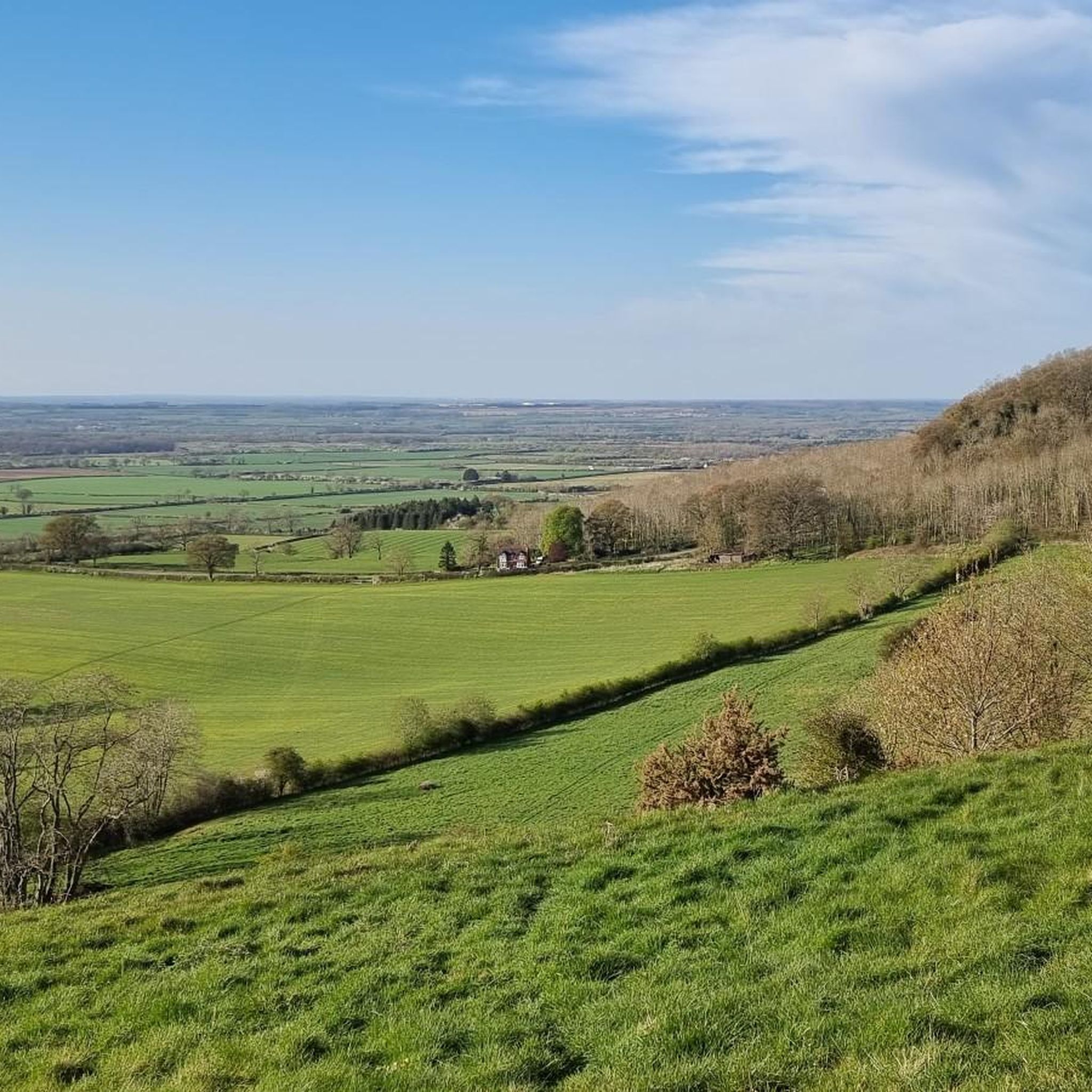
Gravel bike trails around Barford St. John And St. Michael navigate a landscape characterized by rolling countryside and the River Swere valley. The area features an undulating topography with a mix of country roads, cycle lanes, and off-road bridleways. This terrain provides varied gradients suitable for gravel biking, incorporating elements of the verdant Oxfordshire countryside and areas of Cotswold limestone grassland.
Best gravel bike trails around Barford St. John And St. Michael
- The most popular gravel bike trail is Pigeon…
Last updated: May 17, 2026
2
riders
27.0km
01:36
140m
140m
Easy gravel ride. Great for any fitness level. Mostly paved surfaces. Suitable for all skill levels.
33.4km
02:11
300m
300m
Moderate gravel ride. Good fitness required. Mostly paved surfaces. Suitable for all skill levels.

Sign up for free
2
riders
Easy gravel ride. Great for any fitness level. Mostly paved surfaces. Suitable for all skill levels.
2
riders
28.7km
01:43
220m
220m
Moderate gravel ride. Good fitness required. Mostly paved surfaces. Suitable for all skill levels.
Our route recommendations are based on thousands of hikes, rides, and runs completed by other people on komoot.
Start today with a free account
Your next adventure awaits.
Login or Signup
Popular around Barford St. John And St. Michael
Tips from the Community


A beautiful example of a tree-lined lane north of Oxford. Usually very quiet car-wise, so a perfect place to drink in the view and enjoy the tarmac.
0
0

Great ride can be quite busy at week ends
0
0

The old bridle way which was extremely overgrown has now been completely re-done the full length right from Heyford to village farm
0
0

Built in the late 1730s it is a significant and very early example of a ferme ornee and these days still serves as a shelter for a herd of rare cattle. On one side the arched alcove in its tower contains a seat from which to take in the view across the fields outside the garden wall. It’s listed by Historic England as Grade 2*.
0
0
Frequently Asked Questions
What kind of terrain can I expect on gravel bike trails around Barford St. John And St. Michael?
The region offers a diverse gravel biking experience, characterized by rolling hills and valleys, country roads, cycle lanes, and off-road bridleways. You'll encounter varied gradients and segments that are both paved and unpaved, often winding through the verdant Oxfordshire countryside and areas of Cotswold limestone grassland.
How many gravel bike trails are available in Barford St. John And St. Michael?
There are 5 gravel bike routes available in the Barford St. John And St. Michael area. These routes offer a mix of easy and moderate options, catering to different fitness levels.
Are there gravel bike routes suitable for beginners or families in this area?
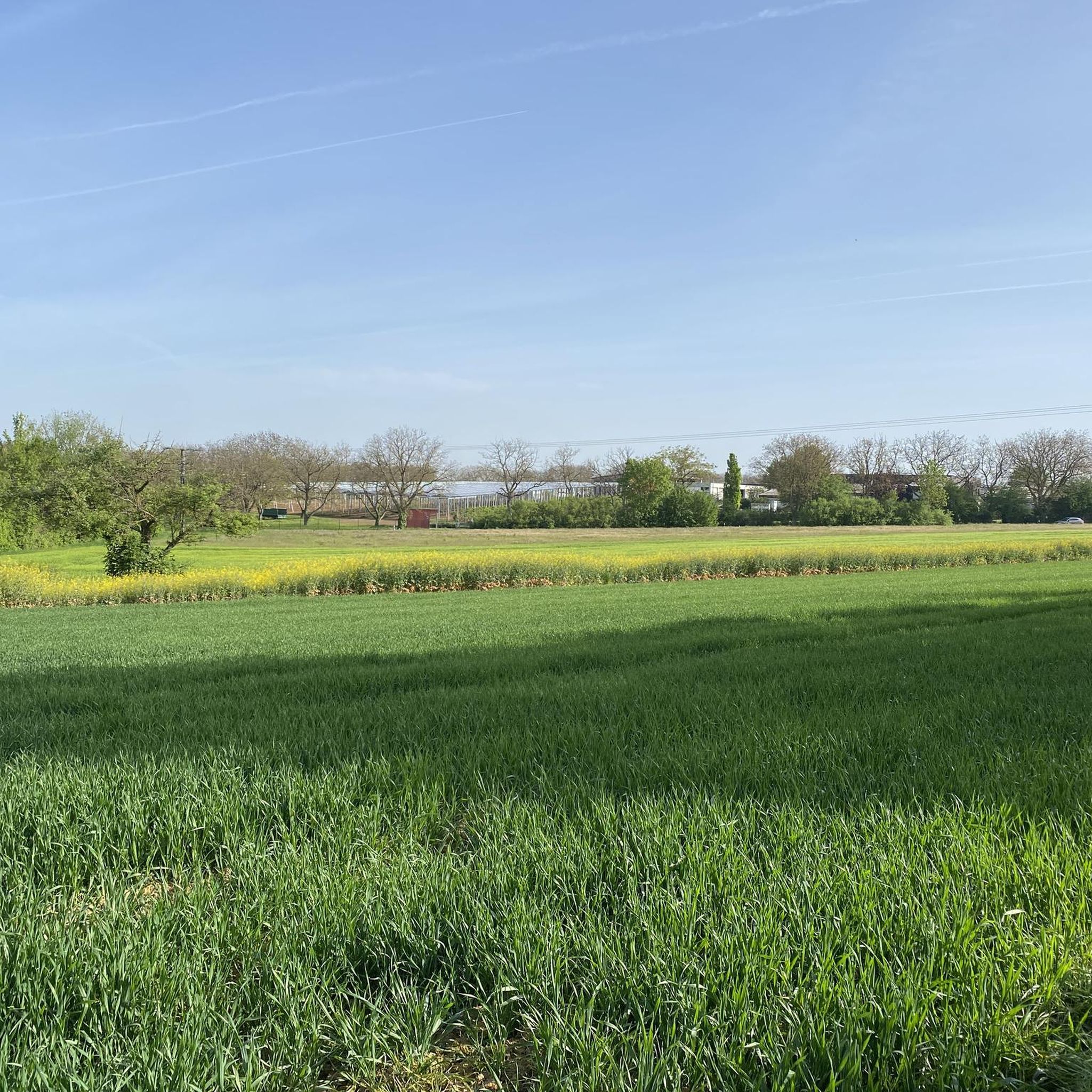
Yes, several routes are suitable for beginners and families. For an easy ride through fields with moderate elevation changes, consider the Pigeon Lock – Gravel Path Through Fields loop from Upper Heyford, which is 12.8 miles (20.6 km) long. Another accessible option is the Heyford Bridleway – Somerton Level Crossing loop from Upper Heyford, a shorter 9.6 km (6 miles) route.
What natural features will I encounter on gravel bike rides here?
You'll experience the picturesque rolling hills and valleys of North Oxfordshire, often with scenic views. The tranquil River Swere, a tributary of the River Cherwell, flows between the two villages and influences the local terrain, offering routes along waterways. Some paths also traverse areas of natural Cotswold limestone grassland, showcasing the region's unique ecology.
Are there any interesting landmarks or historical sites along the gravel bike routes?
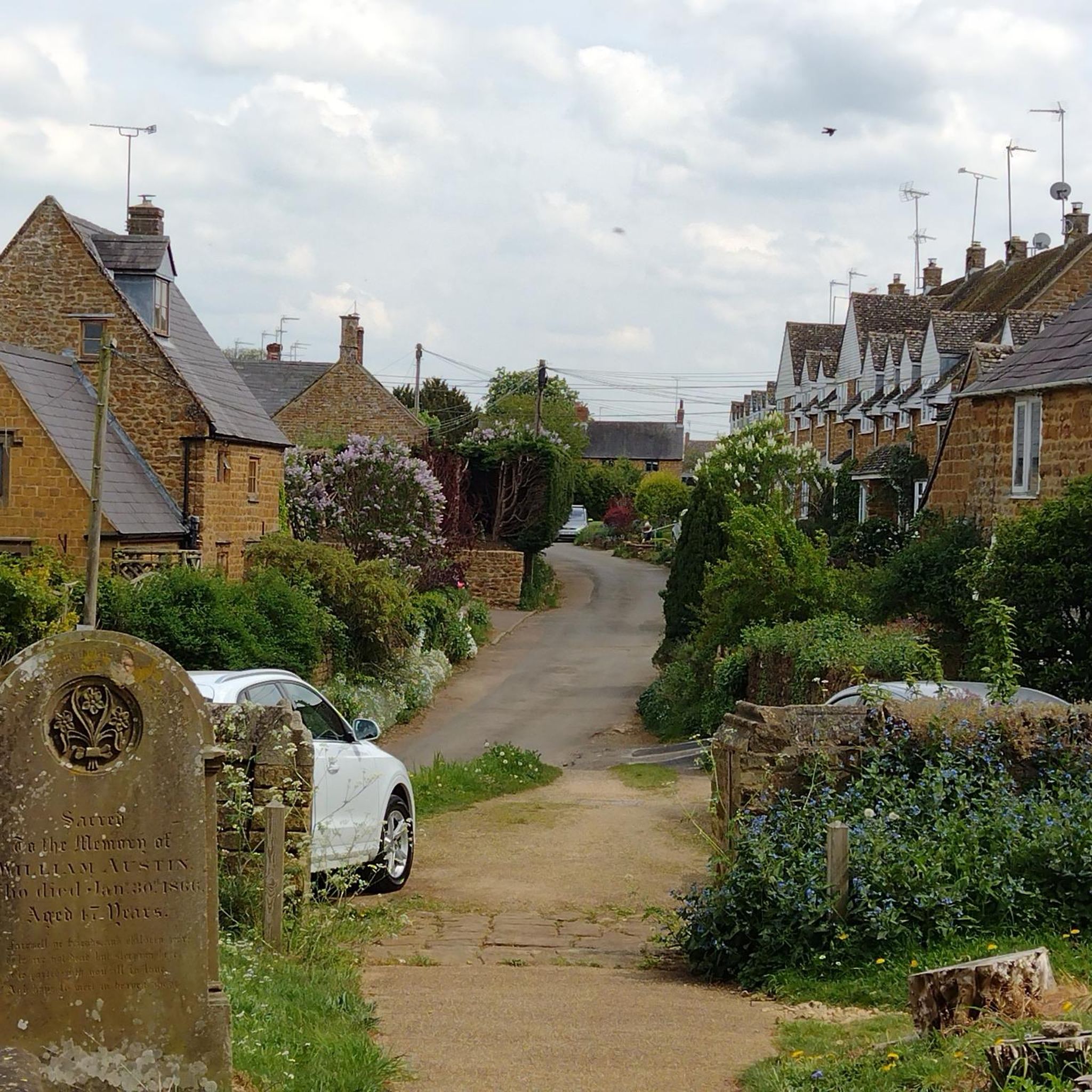
While the routes themselves focus on natural landscapes, the broader area is rich in history. You might pass by historic churches in the villages, known for their local stone architecture. Nearby attractions include the famous Banbury Cross, about five miles north, and the former wartime airfield of RAF Barford St. John. For a scenic viewpoint, consider visiting Bloxham Grove Windmill.
What do other gravel bikers enjoy most about gravel biking in Barford St. John And St. Michael?
The area is appreciated for its varied terrain and scenic landscapes. The komoot community has rated the routes with an average score of 3.0 stars, highlighting the engaging mix of country roads and off-road bridleways through the verdant Oxfordshire countryside.
Are the gravel bike routes around Barford St. John And St. Michael typically circular?
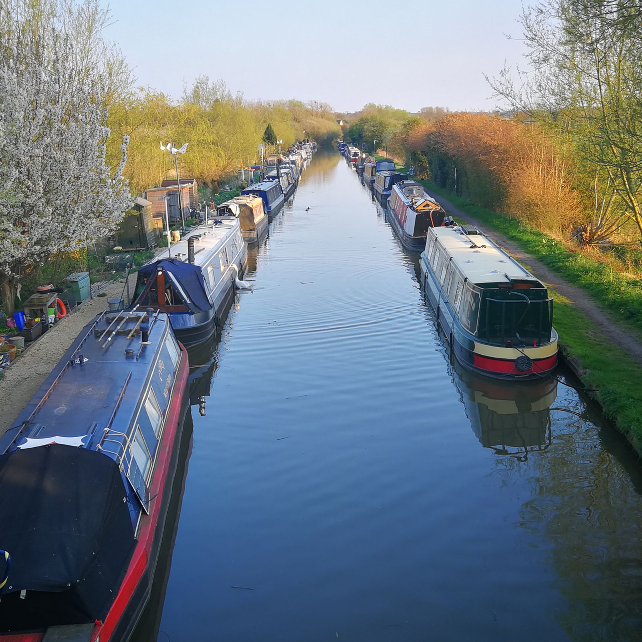
Yes, all the gravel bike routes listed for this area are designed as loops, allowing you to start and finish at the same point. This includes routes like the Pigeon Lock – Woodland Path to Woodstock loop from Heyford and the Heyford Station Canal Moorings – North Aston Mill loop from Deddington.
Where can I find parking for gravel biking in Barford St. John And St. Michael?
While specific parking areas for each route are not detailed, the villages themselves offer local parking options. Many routes start from nearby villages like Heyford or Deddington, where you can typically find street parking or small public car parks. It's advisable to check local signage upon arrival.
Is public transport available to access the gravel trails in Barford St. John And St. Michael?
Public transport options to directly access the trailheads might be limited, as the villages are nestled in rural Oxfordshire. However, you can consider reaching nearby larger towns like Banbury by train or bus, and then cycling to the starting points of the routes. Some routes, like the Heyford Station Canal Moorings – North Aston Mill loop from Deddington, start near former railway stations or canal moorings, which might have historical connections to transport.
Are there any longer gravel bike routes for those seeking a more extensive ride?
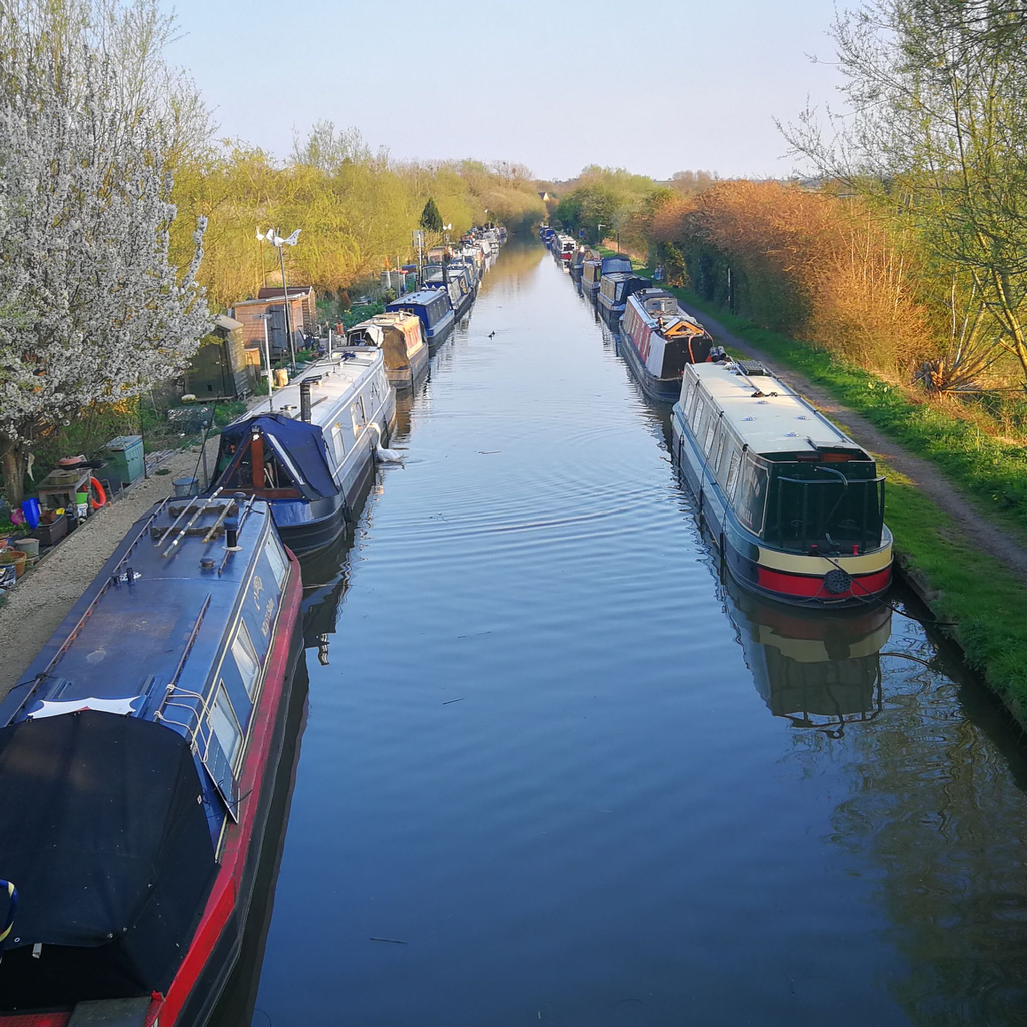
For a longer ride, consider the Heyford Station Canal Moorings – North Aston Mill loop from Deddington, which is 20.7 miles (33.4 km) long and leads through canal moorings and rural landscapes. Another option is the Woodland Path to Woodstock – Gravel Path Through Fields loop from Heyford, covering 28.7 km (17.8 miles).
What is the best time of year for gravel biking in Barford St. John And St. Michael?
The verdant Oxfordshire countryside is beautiful throughout the warmer months, typically from spring to autumn. During these seasons, the trails are generally drier and the weather more pleasant for cycling. However, the rolling hills and varied terrain can be enjoyed year-round, with appropriate gear for cooler or wetter conditions.
Most popular routes around Barford St. John And St. Michael
Most popular attractions around Barford St. John And St. Michael

Get inspired with the komoot mobile app


Explore more
Browse the best Gravel rides in other regions.
