The best waterfall hikes and walks around Heidenheim
4.5
(9616)
38,443
hikers
3
hikes
Waterfall hiking trails around Heidenheim offer a diverse landscape, characterized by the gentle hills of the Härtsfeld, the forested mountain ranges of the Albuch, and the meandering Brenz river. The region features picturesque valleys with impressive rock formations, such as the Eselsburger Valley, and unique geological wonders like the Steinheimer Basin. Hikers can explore extensive juniper heaths and dense mixed forests, providing varied terrain for outdoor activities. This area is also known for its karst phenomena and dry valleys with…
Last updated: August 5, 2026
4.8
(21)
78
hikers
Moderate hike. Good fitness required. Easily-accessible paths. Suitable for all skill levels.
4.8
(18)
50
hikers
24.1km
07:50
960m
960m
Hard hike. Very good fitness required. Sure-footedness, sturdy shoes and alpine experience required.

Sign up for free
4.5
(10)
50
hikers
Moderate hike. Good fitness required. Easily-accessible paths. Suitable for all skill levels.
4.6
(5)
17
hikers
29.7km
08:46
840m
840m
Hard hike. Very good fitness required. Easily-accessible paths. Suitable for all skill levels.
3.0
(1)
17
hikers
9.82km
02:51
230m
230m
Moderate hike. Good fitness required. Easily-accessible paths. Suitable for all skill levels.
Our route recommendations are based on thousands of hikes, rides, and runs completed by other people on komoot.
Start today with a free account
Your next adventure awaits.
Login or Signup
Popular around Heidenheim

Main-Danube-Lake Constance Trail – Along iconic waters
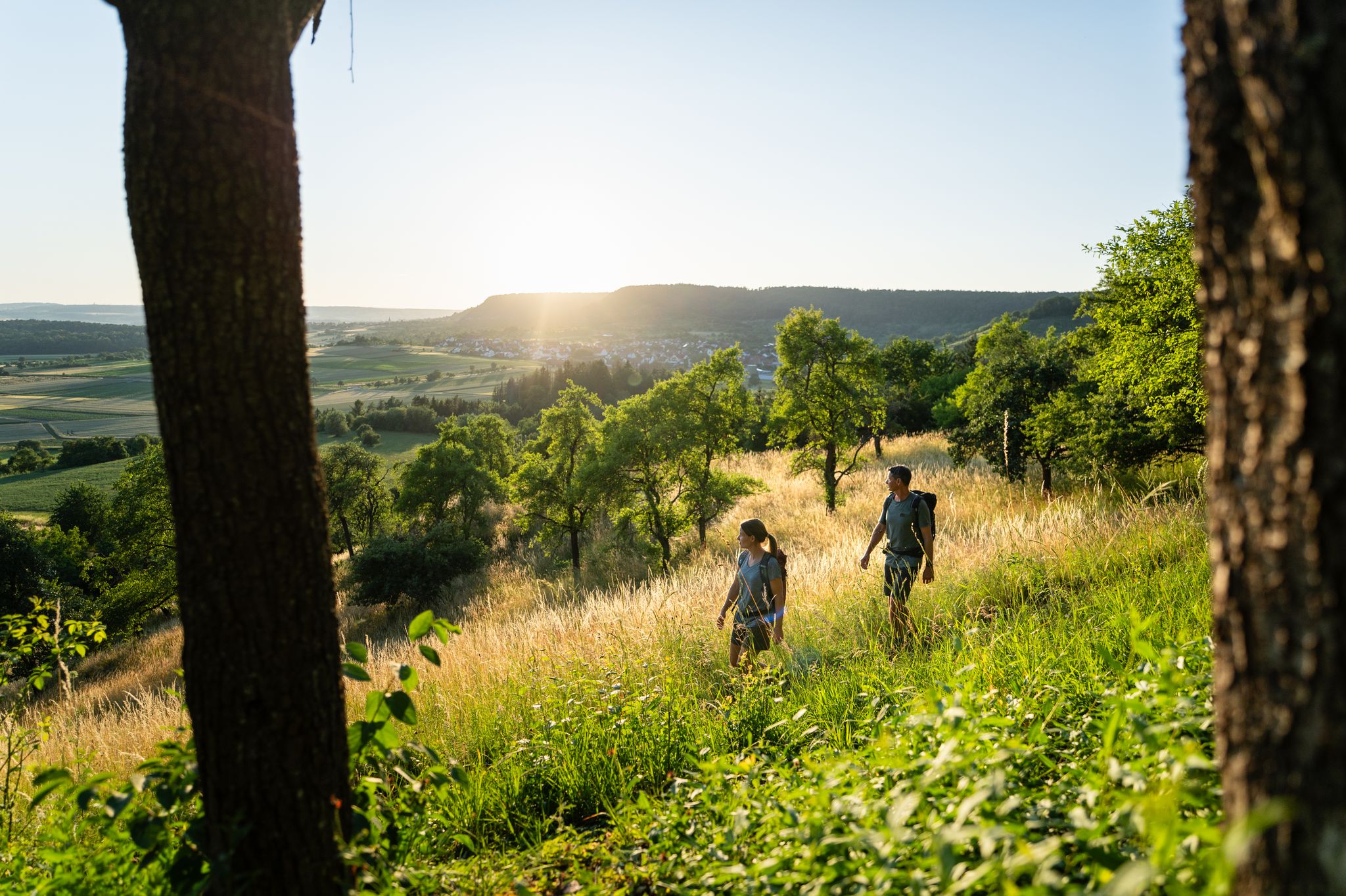
6 Long-Distance Hikes for Your Escape to the Swabian Alb

Discover premium and quality long-distance hiking in southern Germany

Counting sheep on the Albschäfer Trail
Counting sheep on the Albschäfer Trail
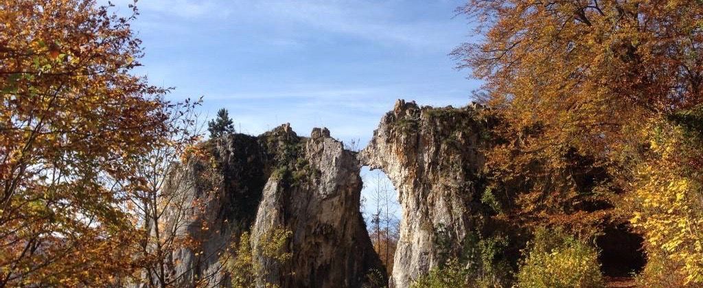
On the tracks of Homo Sapiens and ancient cultures

Germany's Hohenlohe-Ostalb Cycle Route – From idyllic valleys to the Swabian Alb
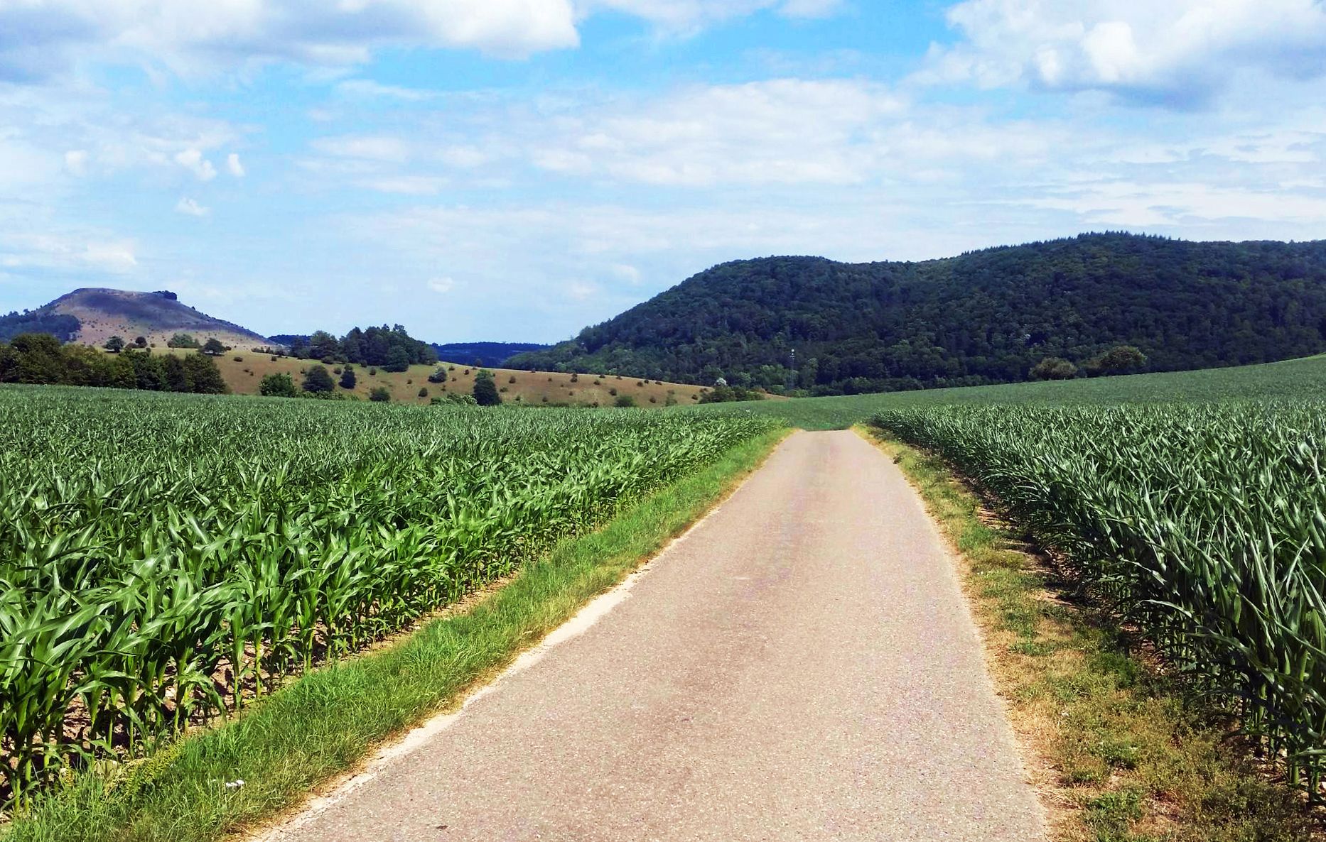
From Crater to Crater — 4 stages in the Geopark Ries and across the Swabian Alb
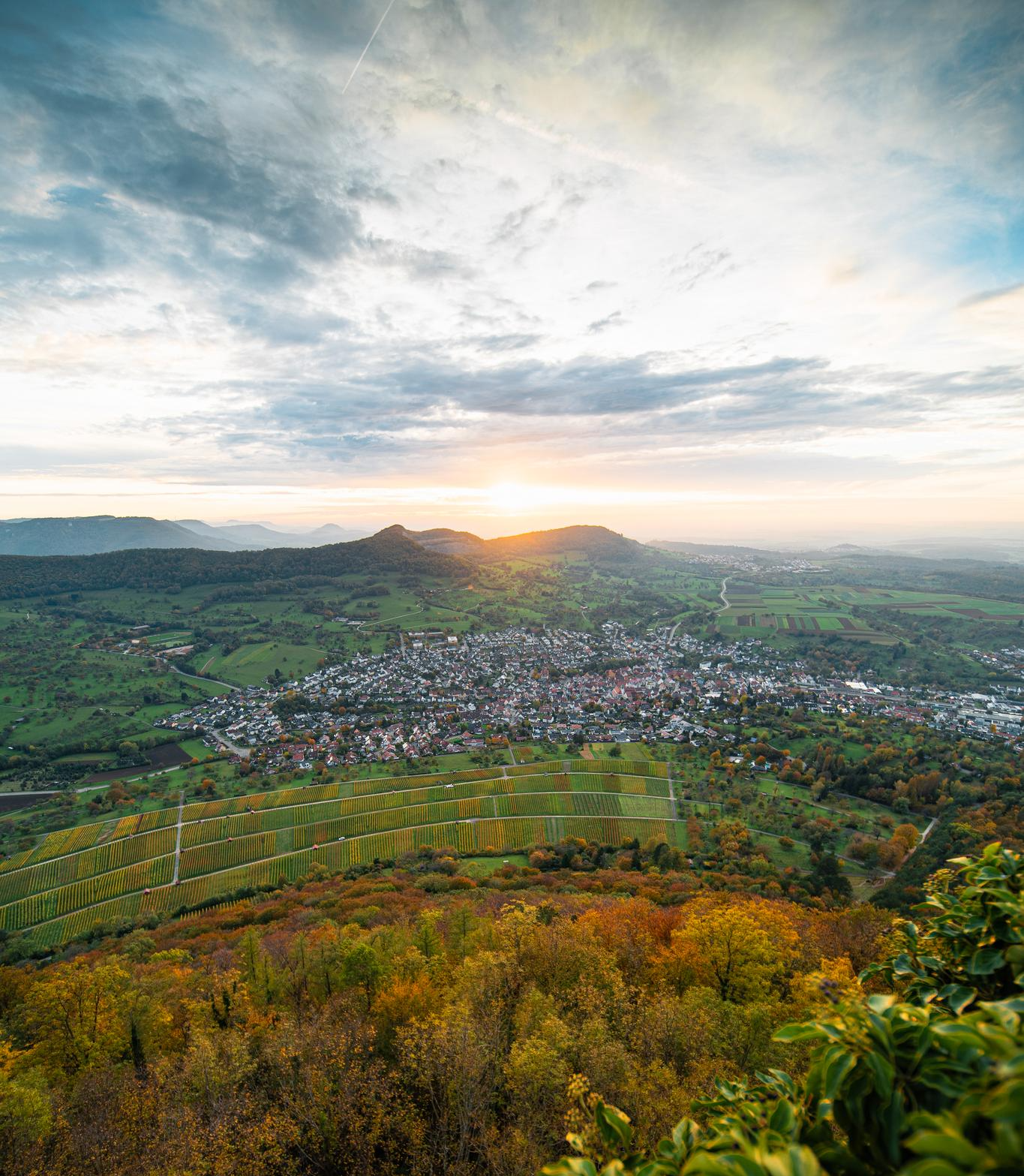
E-bike pleasure rides in the Swabian Alb
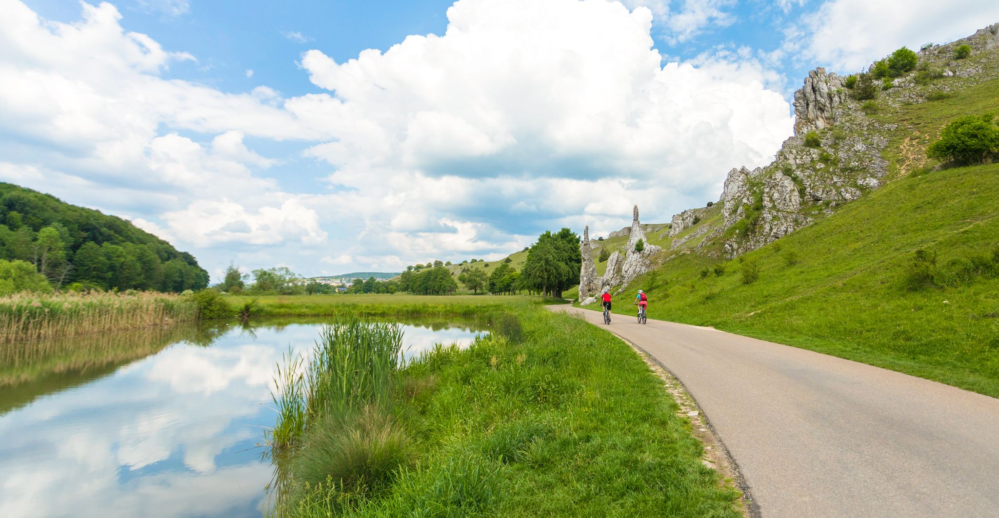
Feel the power of the water - cycling on the Swabian Alb
Other adventures around Heidenheim


Tips from the Community

The Traufweg trail at the Michelberg always runs along the edge of the Tafelberg. Those who are not afraid of heights can repeatedly enjoy deep views from the battlements of the Hausener Wand into the valley.
1
0

Fortunately not. Imagine if there were signs and railings at all the dangerous spots on the Alb. Then not much would be left of the Alb. Recently, near Bad Urach, I was alerted by a sign that there are forest dangers in the woods. Very disturbing.
0
0

Small bridge with a little bench
0
0
Always be careful not to step too close to the edge! There are neither railings nor warning signs, just a steep drop...
0
0

The vast sea of flowers is truly impressive.
0
0

A beautifully constructed path with stone steps along the water. Steep and sometimes slippery!
0
0

Beautiful view into the valley towards Bad Überkingen.
3
0

The metal steps are part of the hiking trail through the wild and romantic Felsental valley, a section of the Lion's Trail "Geislinger Felsen-Tour." They are located at the end of the valley, where the valley narrows considerably and the rock faces rise steeply. The steps help you safely negotiate a particularly steep section.
9
0
Frequently Asked Questions
How many waterfall hiking trails are there around Heidenheim?
Heidenheim offers a selection of waterfall hiking trails, with at least three distinct routes available for exploration. These trails lead through varied forest and valley landscapes, providing diverse experiences for hikers.
What is the best time of year to hike to waterfalls in Heidenheim?
The best seasons for hiking in Heidenheim, especially to enjoy the waterfalls, are spring and autumn. During these times, nature is at its most vibrant, with blooming flowers in spring and a golden carpet of foliage in autumn, enhancing the scenic beauty of the trails.
Are there any challenging waterfall hikes for experienced hikers?
Yes, for experienced hikers seeking a challenge, the Hausen Rocks – Hausener Cliff loop from Geislingen West is a difficult 23.8 km (14.8 miles) path. This route offers expansive views and demanding terrain around the Hausener Cliff, requiring approximately 7 hours and 17 minutes to complete.
What kind of landscapes can I expect on waterfall hikes near Heidenheim?
Waterfall hikes near Heidenheim traverse a diverse landscape, from the gentle hills of the Härtsfeld to the forested mountain ranges of the Albuch. You'll encounter picturesque valleys like the Eselsburger Valley with impressive rock formations, extensive juniper heaths, and dense mixed forests. The region is also known for its unique geological features, including karst phenomena and dry valleys with distinctive dolomite limestone rocks.
Are there any family-friendly waterfall trails in the Heidenheim area?
While specific waterfall trails are not explicitly marked as 'family-friendly' in the provided data, the region generally caters to families with numerous child-friendly routes. The moderate waterfall trails, such as the Beautiful Autal – View of the Hausener Wand loop from Geislingen an der Steige (13.3 km), could be suitable for families with older children or those accustomed to longer walks, offering scenic views through the Autal.
What do other hikers say about the trails around Heidenheim?
The hiking routes in Heidenheim are highly rated by the komoot community, with an impressive average score of 4.6 stars from over 8,700 reviews. Hikers often praise the varied terrain, from gentle hills to striking rock formations, and the well-maintained paths that offer options for different ability levels.
Can I find circular waterfall routes near Heidenheim?
Yes, several waterfall routes around Heidenheim are designed as loops. For example, the St. Vitus Church (Türkheim) – Autal Waterfall loop from Geislingen an der Steige is a moderate 16.2 km (10.1 miles) circular trail that takes about 4 hours and 38 minutes to complete, leading through varied forest and valley landscapes.
Are there any historical sites or natural landmarks to see along the waterfall trails?
While hiking the waterfall trails, you'll be in a region rich with natural and historical landmarks. Nearby attractions include impressive rock formations like the Wäldlesfels Rock Formation and geological wonders such as the Schreiber Cave — Bat Habitat. The wider Heidenheim area also features historical sites like Hellenstein Castle and the Herwartstein Castle Ruins, which can often be incorporated into longer hiking plans.
What is the typical duration for a moderate waterfall hike in this area?
Moderate waterfall hikes in the Heidenheim area typically range from 3.5 to 5 hours. For instance, the Beautiful Autal – View of the Hausener Wand loop from Geislingen an der Steige, which is 13.3 km (8.3 miles) long, can be completed in about 3 hours and 45 minutes. Another moderate option, the St. Vitus Church (Türkheim) – Autal Waterfall loop from Geislingen an der Steige, takes approximately 4 hours and 38 minutes for its 16.2 km (10.1 miles).
Are there any specific geological features to look out for on these trails?
Heidenheim is known for its unique geology. Beyond the waterfalls themselves, you can expect to encounter typical karst phenomena, dry valleys with bizarre dolomite limestone rocks like those found in the Wental (often called 'Felsenmeer'), and impressive rock formations in areas such as the Eselsburger Valley. The region's history includes the Steinheimer Basin, formed by a meteorite impact, adding to the geological interest.
What are the general difficulty levels of waterfall hikes around Heidenheim?
The waterfall hikes around Heidenheim cater to various fitness levels. You'll find moderate trails suitable for most hikers, such as the two routes in the Autal, and also more difficult options for those seeking a greater challenge, like the demanding loop around the Hausener Cliff. This variety ensures there's a suitable path for almost everyone.
Most popular routes around Heidenheim
Most popular attractions around Heidenheim

Get inspired with the komoot mobile app


Explore more
Browse the best Hikes in other regions.
