The best running trails around Clay
4.5
(5)
184
runners
28
runs
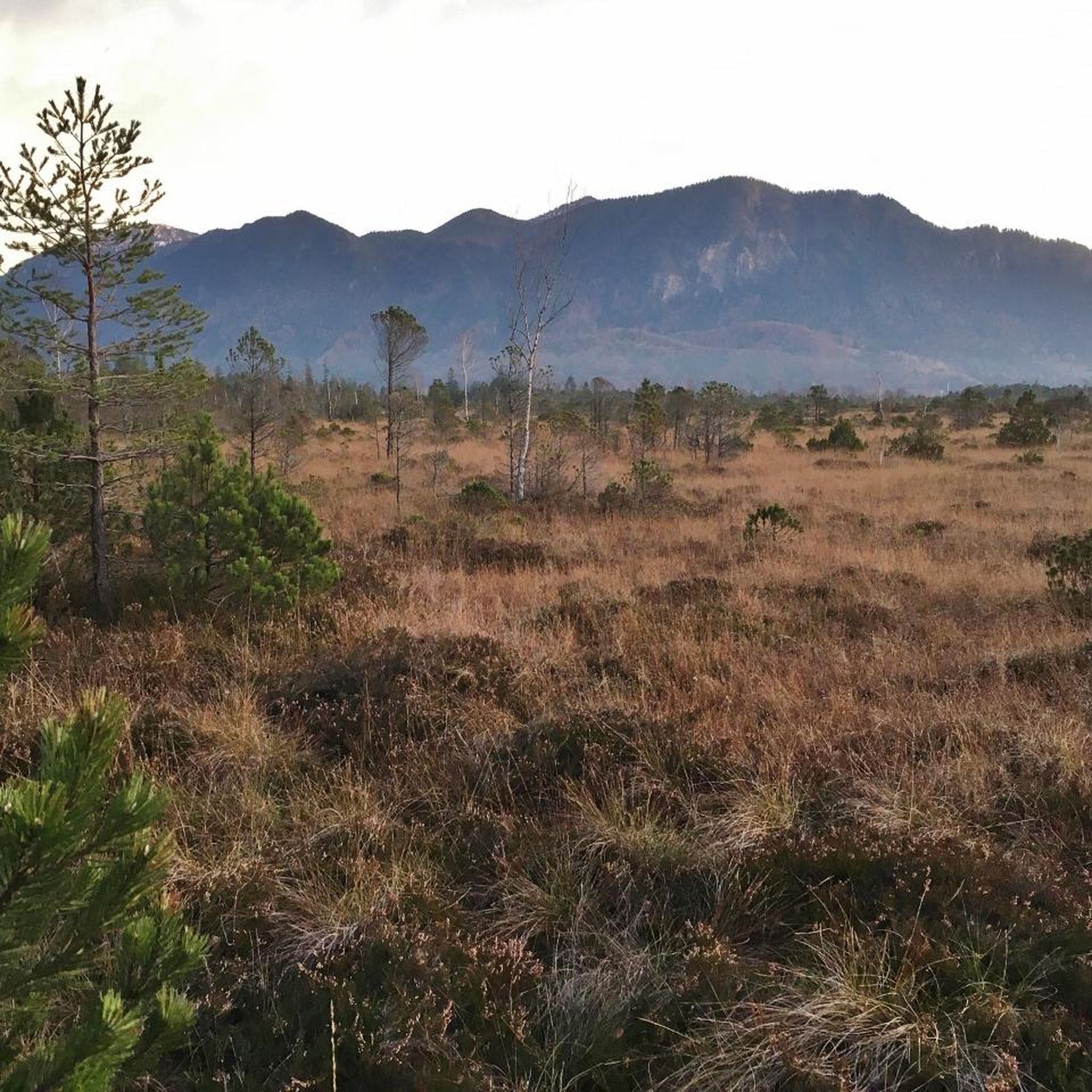
Jogging routes around Clay offer a diverse range of environments, from forested paths to scenic views of lakes and rivers. The region features both paved routes and natural clay roads, providing varied surfaces for running. Rolling hills are a common characteristic, adding elevation changes to many routes. These features combine to create a varied landscape suitable for different jogging preferences.
Best jogging routes around Clay
- The most popular jogging route is Running loop from Ballydown Presbyterian Church, a 3.8…
Last updated: October 29, 2026
8
runners
6.14km
00:38
50m
50m
Moderate run. Good fitness required. Mostly paved surfaces.
6
runners
7.14km
00:45
70m
70m
Moderate run. Good fitness required. Mostly paved surfaces.

10
runners
4.44km
00:33
80m
80m
Easy run. Mostly paved surfaces.
4
runners
17.0km
01:48
200m
200m
Hard run. Very good fitness required. Mostly paved surfaces.
5
runners
4.99km
00:31
50m
50m
Easy run. Mostly paved surfaces.
Get access to more routes and recommendations from other explorers.
Already have an account?
Our route recommendations are based on thousands of hikes, rides, and runs completed by other people on komoot.
Start today with a free account
Your next adventure awaits.


Tips from the Community

Hollie Berrie is a good place for refreshments on the route at Scarva
0
1

The small town of Scarva, nestled between green meadows and the quiet canal, offers a welcome break on my bike tour through Northern Ireland. Here you cycle on well-maintained paths past historic bridges and small villages that give you the feeling that time has stood still. The British flags fluttering along the side of the road remind you that you are in a culturally special area - a detail that reflects the identity of the region. The route is easy to cycle, the surrounding landscape is gently rolling, which makes for pleasant cycling. The view of wide fields and rolling hills invites you to slow down now and then and take in the peace and quiet. A special feature of Scarva is the annual Orange Order March, which transforms the village into a kind of open-air stage once a year and keeps the traditions of this region alive.
1
0

Nestled away in the lovely Loughbrickland Forest lies a bronze age ringfort or rath. With its peaceful location surrounded by trees Coolnacran Fort has an almost mystical feel. In spring bluebells carpet the area, and you can explore the interior of the fort. The Forest also has designated walking routes throughout.
0
0
Scarva (from Irish: Scarbhach meaning "shallow place, rough ford" is a small village in the parish of Aghaderg, County Down, Scarva is known as the location of the "Sham Fight" Pageant on 13 July every year. The Pageant attracts thousands of members of the Royal Black Preceptory, who come to act out a symbolic dramatised re-enactment of the Battle of the Boyne.
2
0

Village on the Newry cycle path. There is also a Scarva pilbox - one of many left over from the 2nd World War. Worth seeking out if you've got the time.
3
0

The thick concrete walls and roof of this World War Two defensive pillbox still stand intact at the entrance to Scarvagh House overlooking the Co. Down village of Scarva. Photo taken on 10th September 2016.
1
0
Frequently Asked Questions
How many running routes are available in the Clay area?
There are over 30 dedicated jogging routes around Clay, offering a wide range of experiences for runners of all levels. These routes are highly rated by the komoot community, with an average score of 4.6 stars.
Are there any easy jogging routes for beginners in Clay?
Yes, Clay offers several easy routes suitable for beginners. For example, the Coolnacran Ringfort loop from Loughbrickland is an easy 2.8-mile (4.5 km) trail that leads through rolling terrain and can be completed in about 34 minutes.
What kind of terrain can I expect on the jogging trails around Clay?
Jogging routes around Clay feature diverse environments, including forested paths and areas with rolling hills. You'll find a mix of paved and natural surfaces, providing varied options for your run.
Are there any circular running routes in Clay?
Many of the routes in Clay are designed as loops, perfect for circular runs. A popular choice is the Running loop from Ballydown Presbyterian Church, a 3.8-mile (6.2 km) trail offering a moderate challenge through varied terrain.
What do other runners enjoy most about jogging in Clay?
The komoot community highly rates the routes in Clay, praising the diverse environments, forested paths, and scenic views. Runners often highlight the variety of terrain, from easy paths to more challenging routes with rolling hills, making it suitable for different ability levels.
Are there any longer or more challenging running routes in Clay?
For those seeking a greater challenge, Clay offers longer routes. The Scarva Village – Scarva Pillbox loop from Banbridge is a difficult 10.4-mile (16.8 km) route with significant elevation changes, taking approximately 1 hour and 46 minutes to complete.
What attractions or landmarks can I see along the running routes in Clay?
While jogging in Clay, you can encounter several interesting landmarks. The Scarva Village is a notable historical site, and you might also pass by the Loughbrickland Crannóg. The Newry Canal Towpath also offers scenic views and is a great spot for a run.
Are there any running routes that offer scenic views in Clay?
Absolutely! Many routes in Clay provide scenic views. The Running loop from The Outlet, Bridgewater Park is a moderate 4.4-mile (7.2 km) path specifically noted for its scenic views and a mix of paved and natural surfaces.
How many people use komoot to explore jogging routes in Clay?
Over 190 runners have used komoot to explore the varied terrain and jogging routes around Clay, indicating a vibrant and active running community in the area.
What is the average difficulty level of running routes in Clay?
The majority of running routes in Clay are classified as moderate, with 24 out of 31 routes falling into this category. There are also easy and difficult options available to suit different fitness levels.
Are there any routes that start from specific towns or villages in Clay?
Yes, several routes conveniently start from local towns or villages. For instance, you can find a Running loop from Banbridge, which is a moderate 3.3-mile (5.2 km) trail.
Most popular routes around Clay
Most popular attractions around Clay

Get inspired with the komoot mobile app


Explore more
Browse the best Running Trails & Routes in other regions.
