The best mountain hikes around Baierbrunn
10
hikers
3
hikes
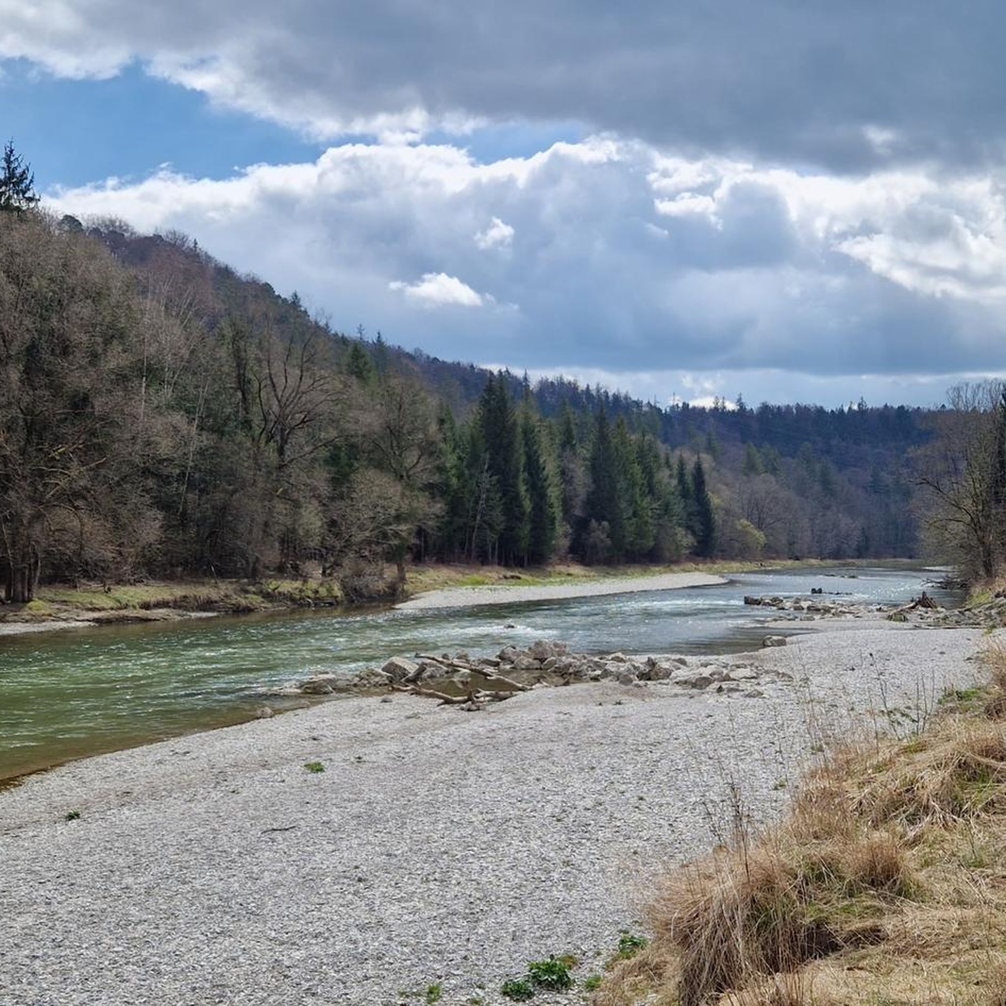
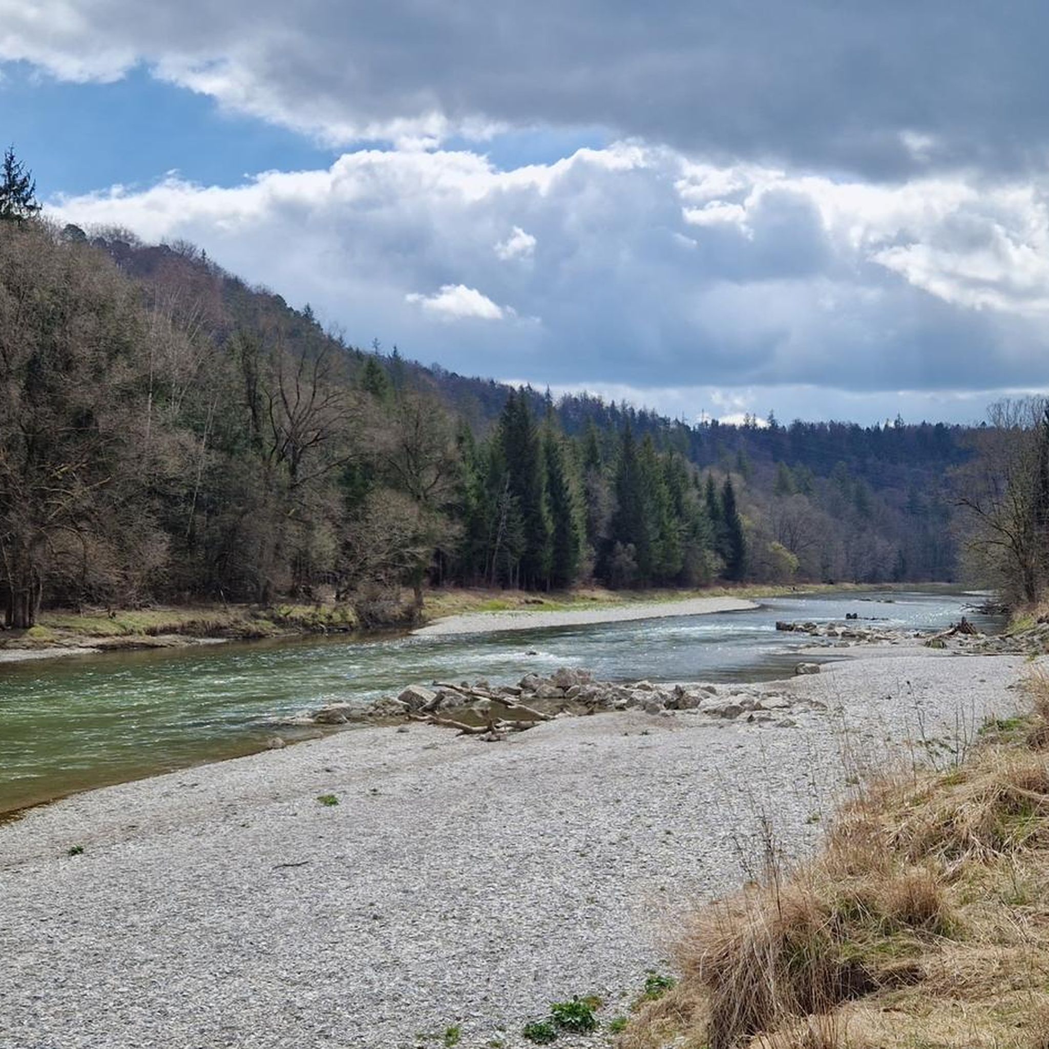
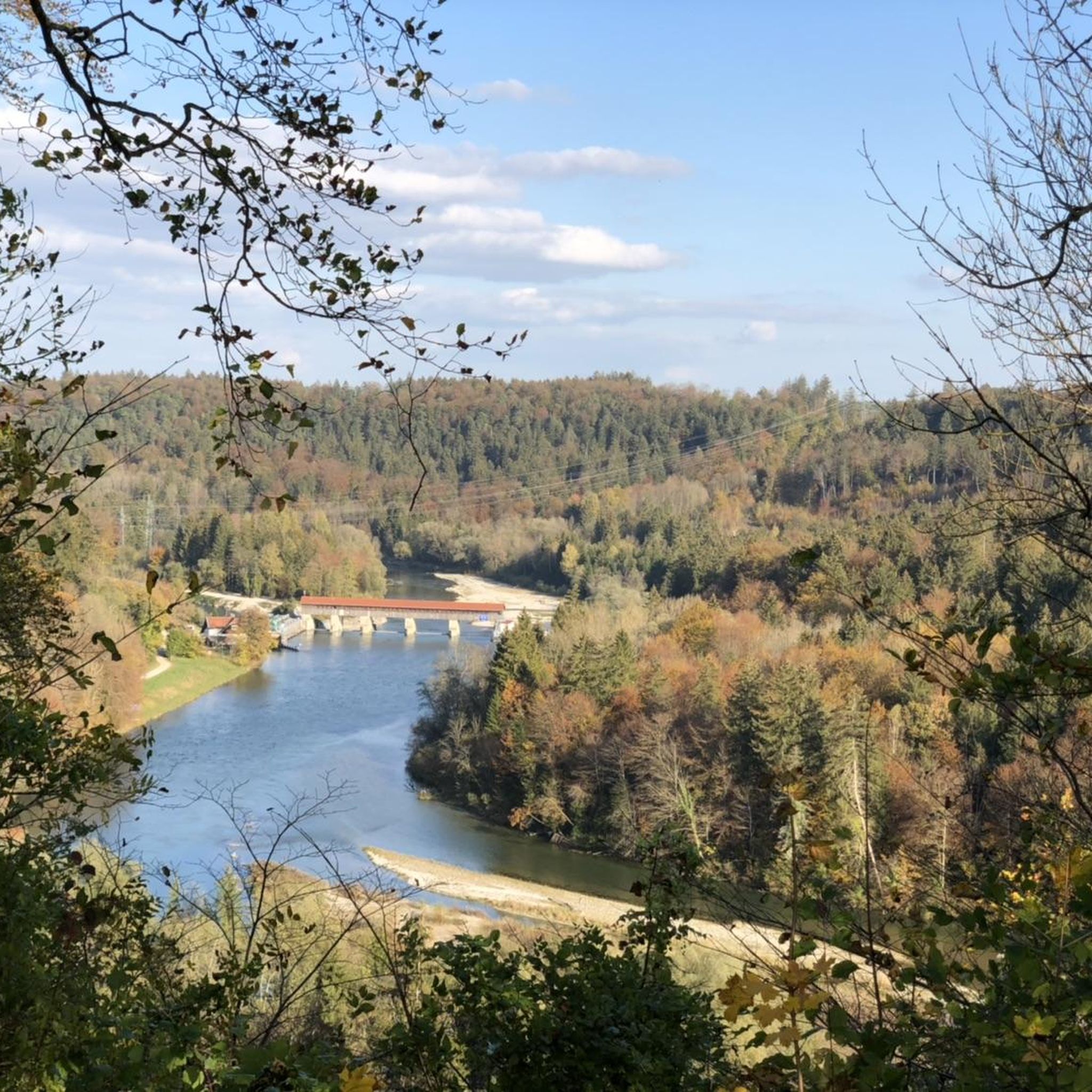
Mountaineering routes Baierbrunn are primarily found along the Isar River and through surrounding forest landscapes. The terrain features river valleys and moderate ascents, providing challenging hiking experiences rather than high-alpine climbing. This region serves as a natural gateway to the more demanding peaks of the Bavarian Alps, but local routes focus on the scenic riverbanks and extensive woodlands like the Perlacher Forest.
Best mountaineering routes around Baierbrunn
- The most popular mountaineering route is Isar Riverside Trail – Georgenstein (St. George's…
Last updated: July 20, 2026
4
hikers
Moderate mountaineering route. Good fitness required. Easily-accessible paths. Suitable for all skill levels.
2
hikers
11.9km
03:15
180m
180m
Moderate mountaineering route. Good fitness required. Easily-accessible paths. Suitable for all skill levels.

Sign up for free
2
hikers
13.8km
03:38
120m
120m
Moderate mountaineering route. Good fitness required. Easily-accessible paths. Suitable for all skill levels.
1
hikers
Moderate mountaineering route. Good fitness required. Easily-accessible paths. Suitable for all skill levels.
11.7km
03:07
110m
120m
Moderate mountaineering route. Good fitness required. Easily-accessible paths. Suitable for all skill levels.
Our route recommendations are based on thousands of hikes, rides, and runs completed by other people on komoot.
Start today with a free account
Your next adventure awaits.
Login or Signup
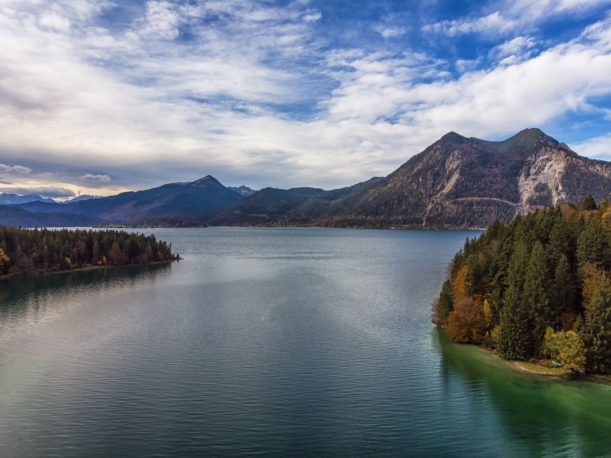
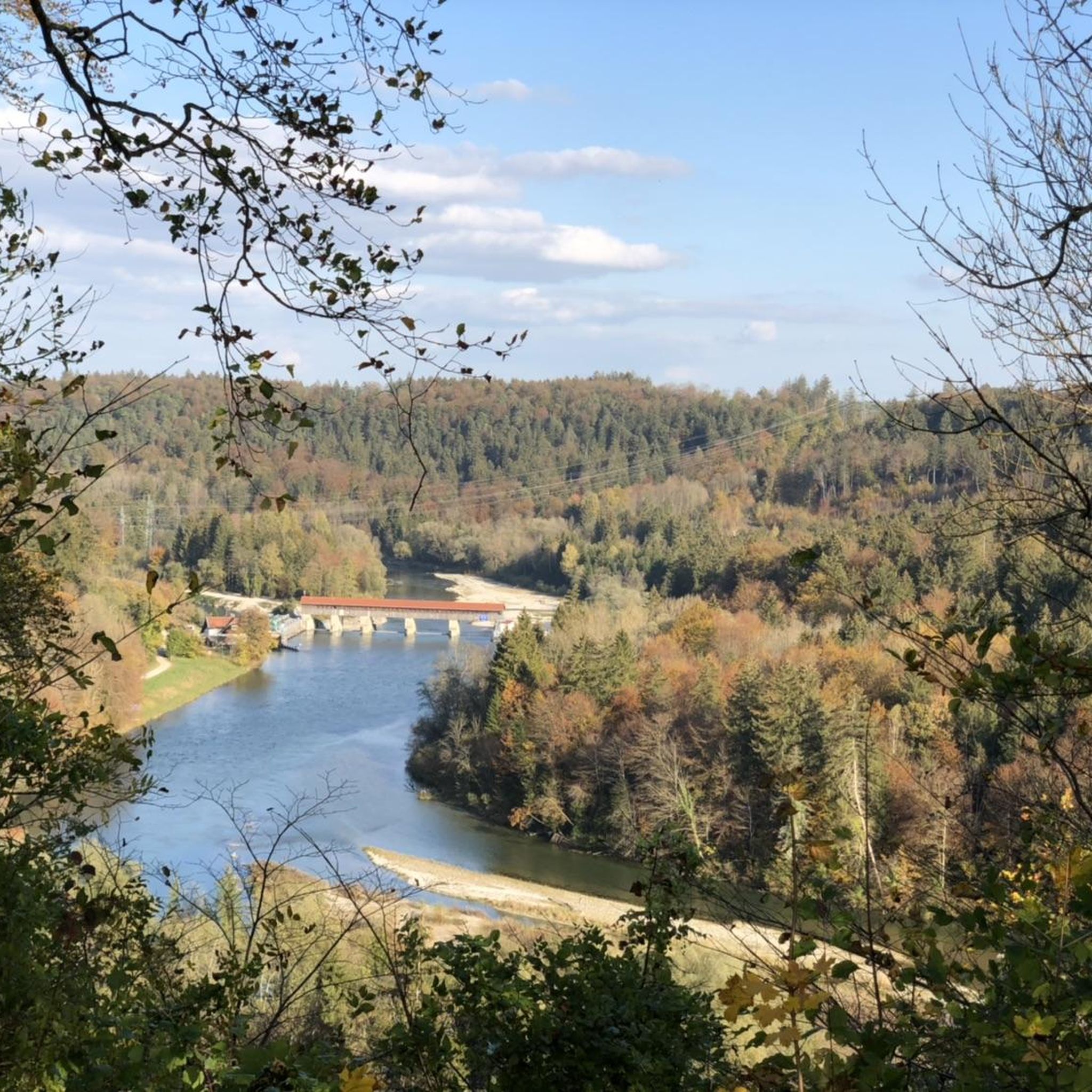
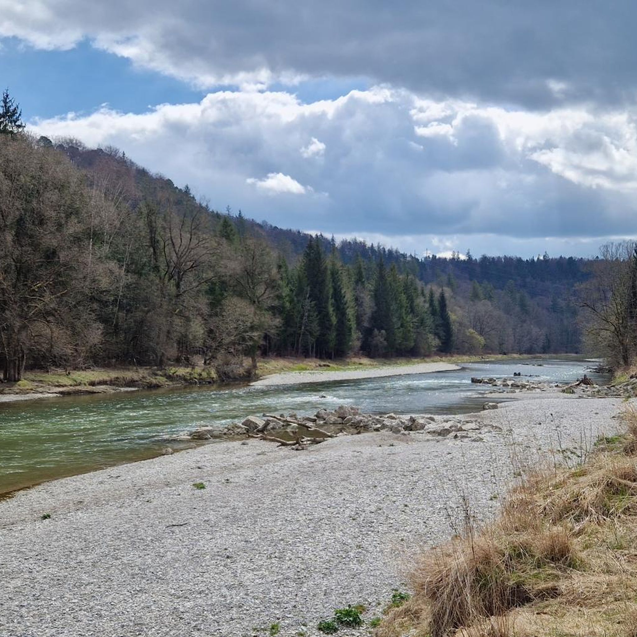
Other adventures around Baierbrunn


Tips from the Community

The cradle was dismantled in April 2025 and is being replaced by a museum quarter and a new building project with apartments and shops.
1
0
The monument was created between 1986 and 1987 by Georges Delahaie.
1
0

It's a great place for hiking.
0
0

Wolfratshausen S-Bahn station (S7) – a remix of an existing highlight. Same location, same station, but now with a parenthetical addition so it qualifies as "new" and gets another point added to the Komoot map. Actually impressive: Sometimes all it takes is "(S7)" to secure a second chance at likes.
0
0

Flag decorations for homeland identification
0
0
19th-century railway technology
0
0

From there you have a magnificent view of the lake.
0
0

Berg Castle in Berg on Lake Starnberg. Unfortunately, almost nothing can be seen from the land side.
0
0
Frequently Asked Questions
How many mountaineering routes are available around Baierbrunn?
There are several mountaineering routes around Baierbrunn, primarily focusing on the scenic Isar River and surrounding forest landscapes. Our guide features 5 highly-rated routes, all of which are considered moderate in difficulty, offering varied experiences for outdoor enthusiasts.
What kind of terrain can I expect on mountaineering routes near Baierbrunn?
The mountaineering routes near Baierbrunn are characterized by river valleys, dense woodlands, and moderate elevation changes. You'll find challenging hiking experiences along the Isar River and through extensive forests like the Perlacher Forest, rather than high-alpine climbing. The region serves as an excellent gateway to the more demanding peaks of the Bavarian Alps, but local routes focus on the beautiful riverbanks and forests.
Are there any circular mountaineering routes in the Baierbrunn area?
Yes, many of the routes around Baierbrunn are designed as loops, offering convenient circular tours. For example, you can explore the Isar Riverside Trail – Georgenstein (St. George's Rock) loop from Grünwald, which is a moderate 5-mile (8.1 km) route. Another option is the Bismarck Tower Assenhausen – Berg Castle loop from Berg, a 7.5-mile (12.0 km) path offering varied scenery.
What are some notable landmarks or attractions I can see along the routes?
The routes around Baierbrunn offer a mix of natural beauty and historical points of interest. Along the Isar River, you might encounter the notable Georgenstein rock formation. The Bismarck Tower Assenhausen – Berg Castle loop from Berg includes historical landmarks and views around Berg Castle. Additionally, the broader area features attractions like the Icking Weir and various lakes such as Lake Starnberg with its boathouses and the King Ludwig II Memorial Cross.
Are the mountaineering routes around Baierbrunn suitable for families?
While the routes are generally moderate in difficulty, some sections might be challenging for very young children or strollers due to varied terrain. However, the picturesque settings along the Isar River and through forests offer pleasant walks. For specific family-friendly options, consider routes with less elevation gain and shorter distances. The Isar Riverside Trail – Georgenstein (St. George's Rock) loop from Grünwald is a popular choice that many families enjoy.
Can I bring my dog on the mountaineering routes?
Generally, dogs are welcome on trails around Baierbrunn, especially in the natural areas like the Perlacher Forest and along the Isar River. However, it's always advisable to keep dogs on a leash, especially in nature reserves or areas with wildlife. Please be mindful of local regulations and other hikers.
What is the best season for mountaineering near Baierbrunn?
The best time for mountaineering and hiking around Baierbrunn is typically from spring to autumn, when the weather is mild and the trails are clear. Spring brings blooming nature, while autumn offers beautiful foliage. Winter mountaineering is possible, but conditions can be challenging with snow and ice, requiring appropriate gear and experience.
How can I reach the trailheads using public transport?
Baierbrunn is well-connected by public transport, particularly via the S-Bahn line, making it accessible from Munich. Many trailheads, especially those along the Isar River or near towns like Grünwald and Wolfratshausen, can be reached by combining S-Bahn and local bus services. For example, the Marien Bridge – Icking Weir loop from Wolfratshausen starts from a location easily accessible by public transport.
Are there parking facilities available at the trailheads?
Yes, parking facilities are generally available near the starting points of many mountaineering routes around Baierbrunn. For routes originating from towns like Grünwald, Berg, or Wolfratshausen, you can usually find designated parking areas. It's recommended to check specific trailhead information on komoot for detailed parking options before your trip.
Where can I find refreshments or accommodation near the mountaineering routes?
Baierbrunn and the surrounding towns offer various options for refreshments and accommodation. You'll find cafes, restaurants, and pubs in places like Baierbrunn itself, Grünwald, Berg, and Wolfratshausen, perfect for a break before or after your tour. There are also guesthouses and hotels in these areas if you plan an overnight stay.
Are there any less crowded mountaineering routes around Baierbrunn?
While popular routes like the Isar Riverside Trail can see more visitors, the extensive network of trails through the Perlacher Forest and along lesser-known sections of the Isar offers opportunities for quieter experiences. Consider exploring routes like the Icking Weir – Isar Power Canal loop from Kloster Schäftlarn for a potentially more tranquil outing, especially during off-peak hours or weekdays.
What is the difficulty level of mountaineering routes in this area?
All the mountaineering routes featured in our guide for Baierbrunn are classified as moderate. This means they require good fitness, sure-footedness, and sturdy shoes. While they offer challenging hiking experiences, they do not typically involve high-alpine climbing or technical sections, making them accessible to experienced hikers looking for a good workout in a beautiful natural setting.
Most popular routes around Baierbrunn
Most popular attractions around Baierbrunn

Get inspired with the komoot mobile app


Explore more
Browse the best Mountain Hikes & Routes in other regions.
