The best mountain hikes around Altenberg bei Linz
42
hikers
11
hikes
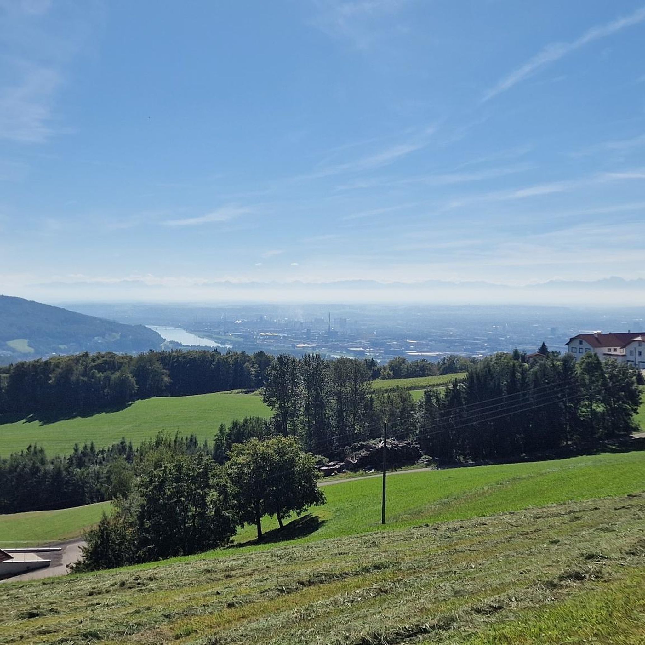
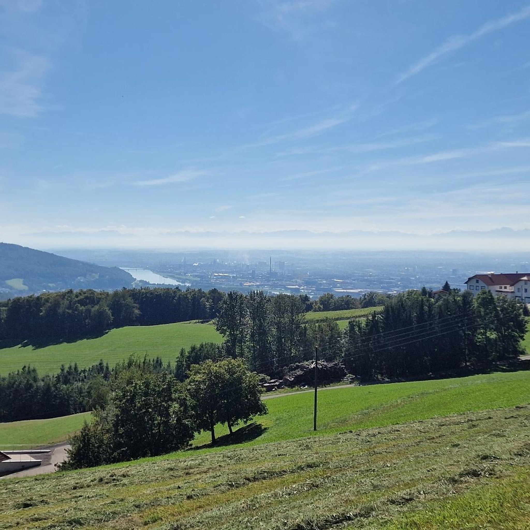
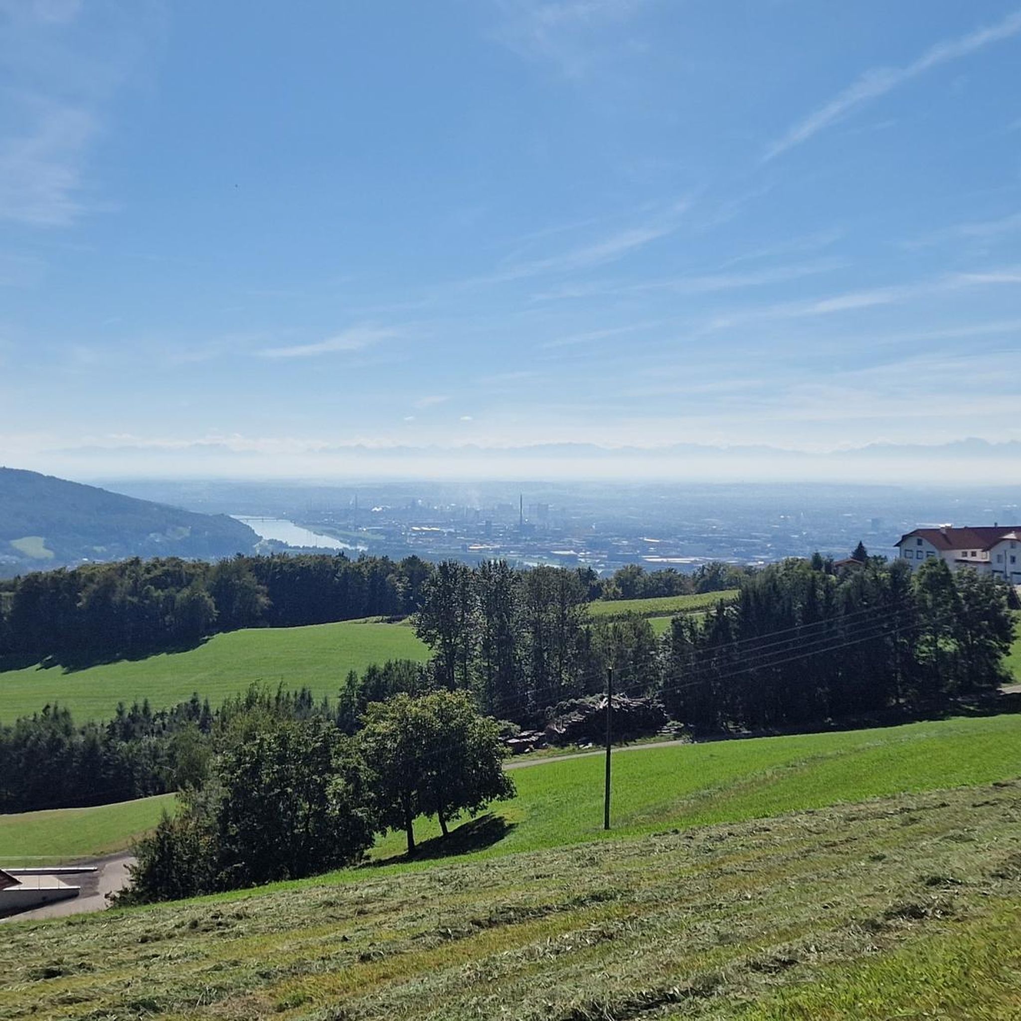
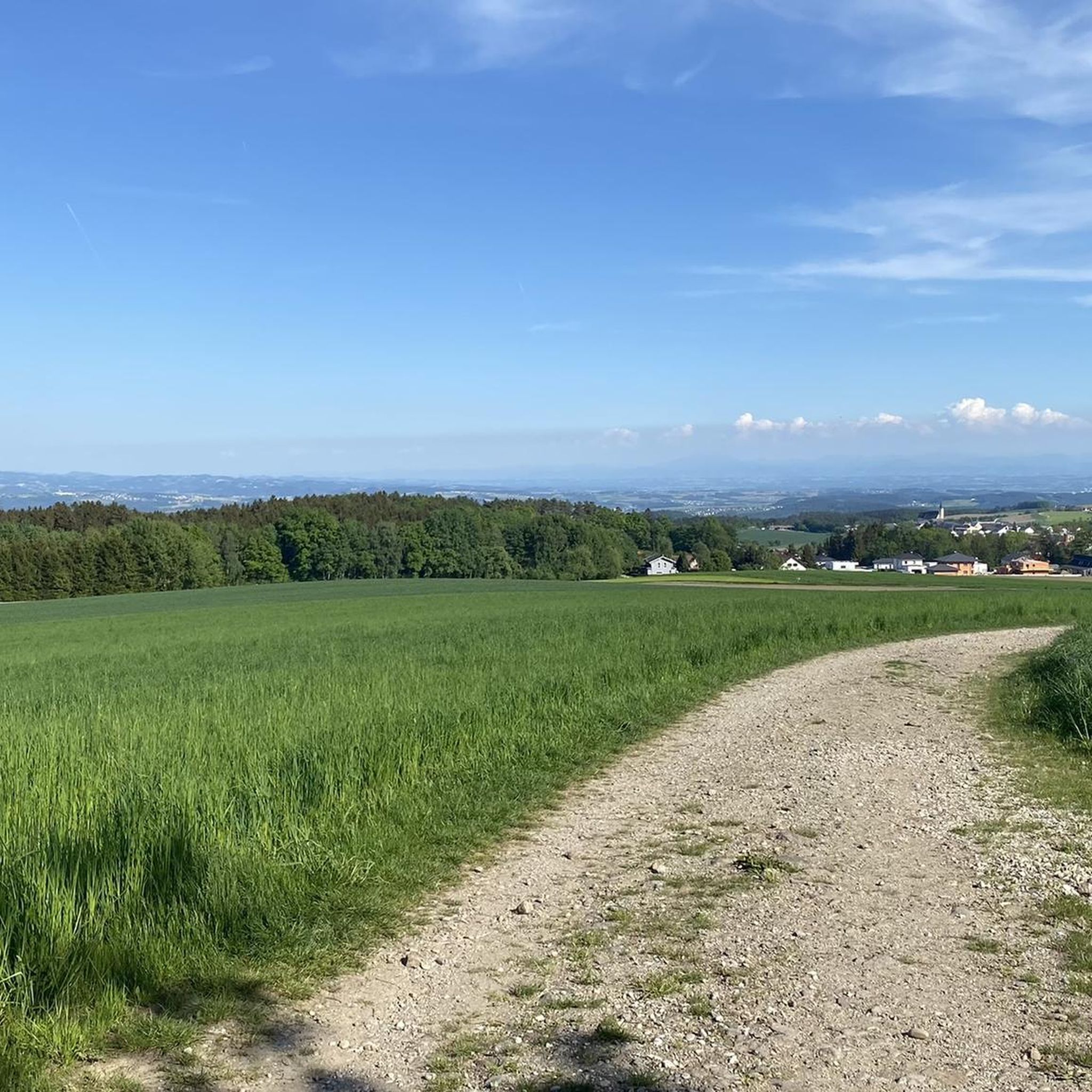
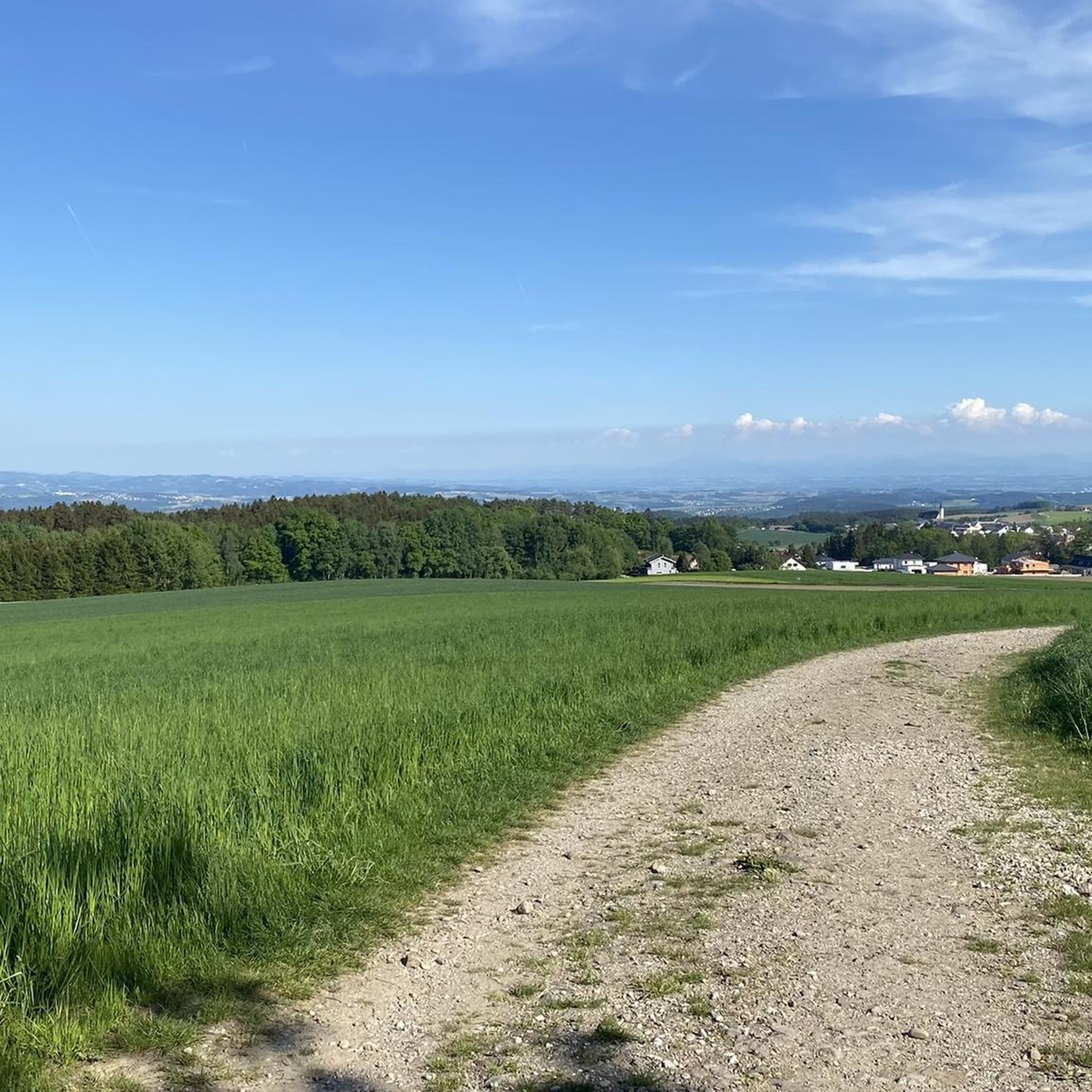
Mountaineering routes around Altenberg bei Linz are situated on the southern foothills of the Mühlviertler highlands, characterized by rolling hills and lush forests. The region's elevated position, around 593 meters above sea level, provides panoramic views over the Danube valley and the city of Linz. This landscape offers challenging hiking experiences with significant elevation gains, featuring prominent hills such as Kulmerberg, Wetterberg, and Geiselsberg.
Best mountaineering routes around Altenberg bei Linz
- The most popular mountaineering route is Gis Transmitter and…
Last updated: May 25, 2026
14
hikers
16.6km
05:11
660m
660m
Hard mountaineering route. Very good fitness required. Easily-accessible paths. Suitable for all skill levels.
8
hikers
14.2km
04:15
350m
350m
Moderate mountaineering route. Good fitness required. Mostly accessible paths. Sure-footedness required.

Sign up for free
6
hikers
13.2km
04:00
340m
340m
Moderate mountaineering route. Good fitness required. Mostly accessible paths. Sure-footedness required.
5
hikers
8.93km
02:51
360m
360m
Moderate mountaineering route. Good fitness required. Easily-accessible paths. Suitable for all skill levels.
6
hikers
Moderate mountaineering route. Good fitness required. Easily-accessible paths. Suitable for all skill levels.
Get access to more routes and recommendations from other explorers.
Sign up for free
Already have an account?
Our route recommendations are based on thousands of hikes, rides, and runs completed by other people on komoot.
Start today with a free account
Your next adventure awaits.
Login or Signup

Tips from the Community

Built in 1856, the Giselawarte is located at 927m above sea level.
0
0
Hiking trail above the Danube
1
0

Not far from the summit cross, right next to the path, colourfully decorated....
0
0
Modern summit cross in a beautiful clearing.
0
0

The trail doesn't lead to Steyr, of course, but towards Steyregg 🤪
0
0

The pilgrim's cross is easily accessible from the Kürnbergerwald parking lot. Today the path was a bit slippery in places due to the frozen and melted snow – hiking poles are advisable at the moment. But the panorama of the winter landscape is simply magnificent! 🤩 Definitely worth a hike.
0
0

A metallic cross on a stone base.
1
0
Frequently Asked Questions
What kind of terrain can I expect on mountaineering routes around Altenberg bei Linz?
The routes in Altenberg bei Linz traverse the southern foothills of the Mühlviertler highlands, characterized by rolling hills and lush forests. You'll encounter diverse terrain, from scenic paths with significant elevation gains to more gentle walks, all offering panoramic views over the Danube valley and the city of Linz.
Are there any challenging mountaineering routes for experienced hikers?
Yes, for those seeking a more strenuous experience, there are routes with substantial elevation gains. For example, the Gis Transmitter and Rest Area – Giselawarte loop from St. Magdalena is classified as difficult, covering over 16 km with significant ascent. Some harder hikes in the region require very good fitness, sure-footedness, and sturdy shoes.
Can I find family-friendly mountaineering options in Altenberg bei Linz?
Absolutely. While some routes are challenging, the region also offers family-friendly hiking trails designed with children in mind, often featuring interesting stations to keep young adventurers engaged. Look for routes with moderate difficulty, such as the Pfenningberg Summit Cross – Finstergrabenbach Bike Route loop from Johannes Kepler University Linz, which is under 10 km and can be completed in under 3 hours.
Are there any circular mountaineering routes available?
Yes, many of the mountaineering routes around Altenberg bei Linz are designed as loops, allowing you to start and end at the same point. A popular example is the Prinzenweg viewing point – Kürnbergkreuz loop from Leonding, which offers varied terrain and notable viewpoints.
What are some notable landmarks or viewpoints along the mountaineering routes?
The region is known for its stunning panoramic views. You can visit the Pfenningberg Summit Cross or the Pilgrims' Cross on the Kürnberg summit for expansive vistas. The elevated position of Altenberg bei Linz itself, often called the 'balcony of Linz,' provides sweeping views over the Danube valley and the city.
Are there any natural attractions or bodies of water near the trails?
Yes, the area features several natural attractions. You can explore the romantic landscapes of the Mirellental or visit the Mouth of the Traun-Danube. For those interested in lakes, Pleschinger Lake and the Rodl Natural Swimming Pool, Gramastetten are also nearby.
How many mountaineering routes are available in Altenberg bei Linz?
There are over a dozen dedicated mountaineering routes around Altenberg bei Linz, catering to various fitness levels. These include a mix of easy, moderate, and difficult trails, ensuring there's something for everyone.
What is the best time of year to go mountaineering in Altenberg bei Linz?
The region is beautiful throughout the warmer months, typically from spring to autumn, when the lush forests are vibrant and the weather is ideal for hiking. The panoramic views are particularly stunning on clear days. Winter mountaineering is also possible, but requires appropriate gear and experience due to potential snow and ice conditions.
Are there options for indoor climbing or more technical mountaineering nearby?
While direct outdoor rock climbing or via ferratas are not a primary feature of Altenberg bei Linz itself, the local Alpenverein (Alpine Club) maintains an excellent indoor climbing hall. This facility offers bouldering and lead climbing with over 40 routes. For outdoor sport climbing, the broader Mühlviertel region has small granite outcrops within about thirty minutes' drive from Linz.
What do other mountaineers say about the routes in Altenberg bei Linz?
Over 40 mountaineers have used komoot to explore Altenberg bei Linz's varied terrain. Users often praise the diverse landscape, the challenging elevation gains on some routes, and the expansive panoramic views over the Danube valley and Linz.
Are there any routes that follow historical paths?
Yes, some routes in the region incorporate parts of historical paths, such as sections of the former horse-drawn railway line from Linz to Altenberg, offering both scenic beauty and a touch of history.
Most popular routes around Altenberg bei Linz
Most popular attractions around Altenberg bei Linz

Get inspired with the komoot mobile app


Explore more
Browse the best Mountain Hikes & Routes in other regions.
