The best running trails around Croesyceiliog
4.6
(27)
3,940
runners
10
runs
Jogging around Croesyceiliog offers diverse landscapes, from prominent hills providing panoramic views to tranquil river walks and lake loops. The region features varied terrains, including paved paths suitable for leisurely runs and more challenging trails with significant elevation gain. Cwmcarn Forest also provides a network of fire roads for jogging within a natural, wooded setting. This variety caters to different fitness levels, making Croesyceiliog a versatile destination for runners.
Best jogging routes around Croesyceiliog
- The most popular jogging route is…
Last updated: July 27, 2026
233
runners
9.14km
00:57
40m
40m
Moderate run. Good fitness required. Mostly paved surfaces. Suitable for all skill levels.
29
runners
7.73km
00:48
40m
40m
Moderate run. Good fitness required. Mostly paved surfaces. Suitable for all skill levels.

Sign up for free
18
runners
6.54km
00:41
40m
40m
Moderate run. Good fitness required. Mostly paved surfaces. Suitable for all skill levels.
9
runners
8.29km
00:52
60m
60m
Moderate run. Good fitness required. Mostly paved surfaces. Suitable for all skill levels.
6
runners
7.50km
00:47
40m
40m
Moderate run. Good fitness required. Mostly paved surfaces. Suitable for all skill levels.
Get access to more routes and recommendations from other explorers.
Sign up for free
Already have an account?
Our route recommendations are based on thousands of hikes, rides, and runs completed by other people on komoot.
Start today with a free account
Your next adventure awaits.
Login or Signup
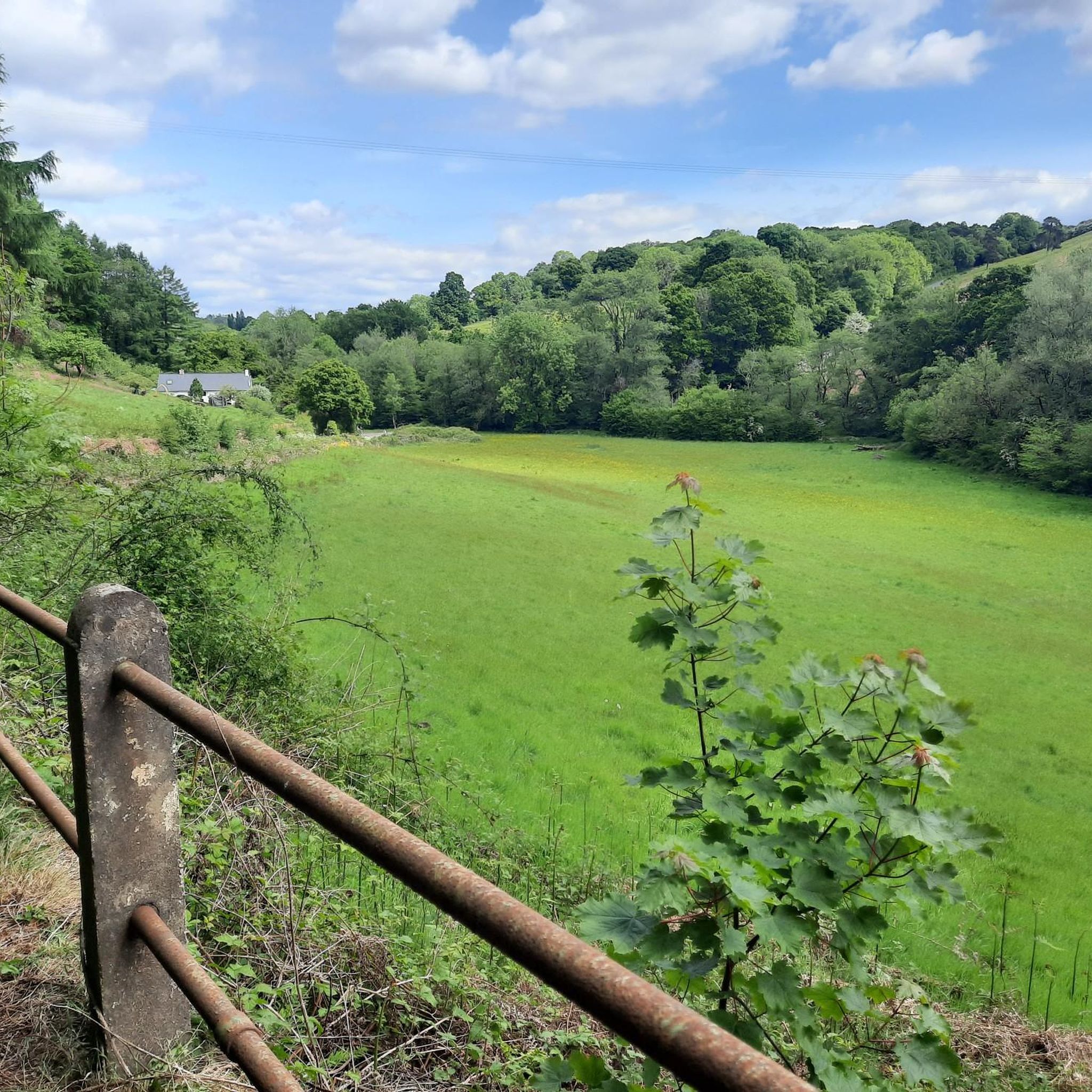
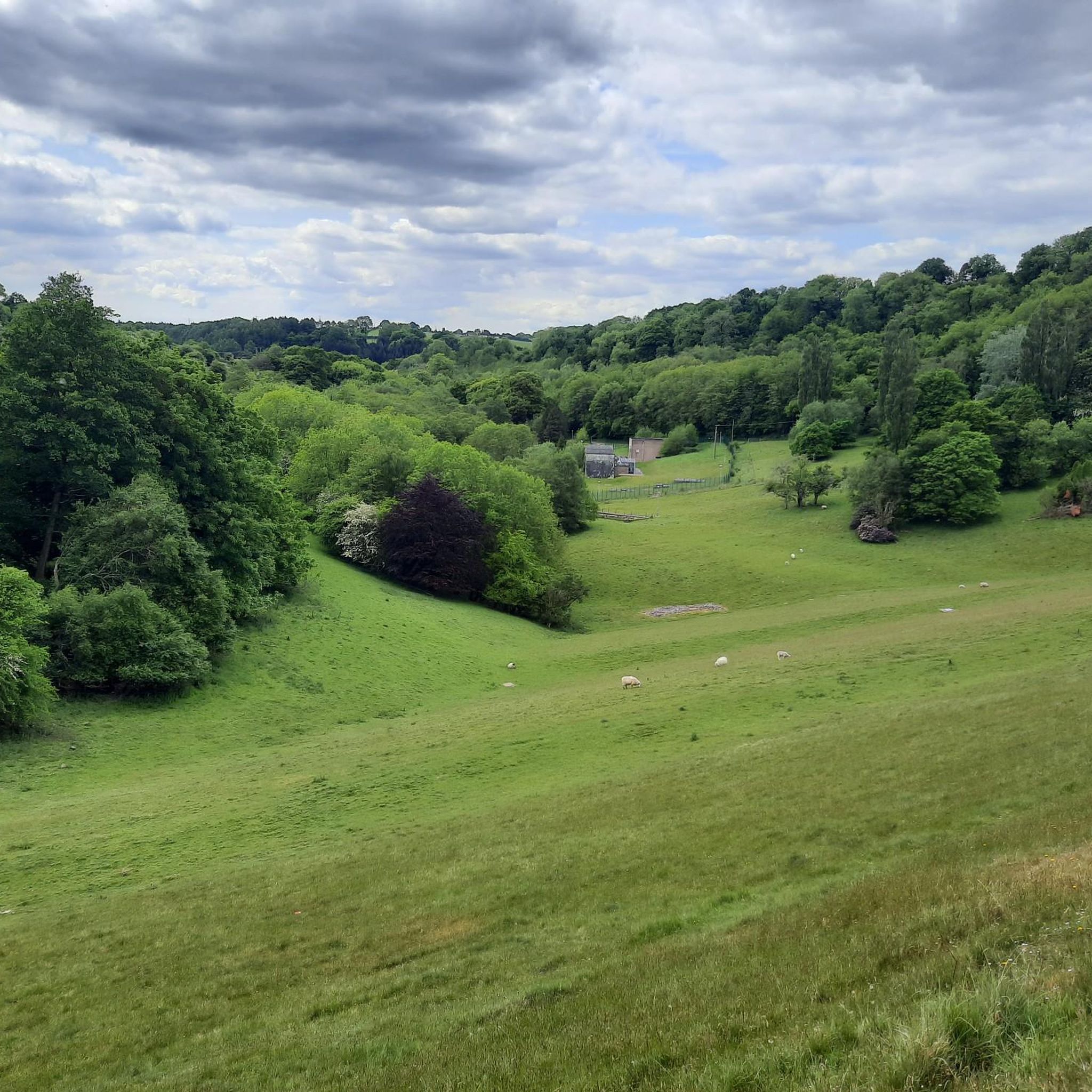
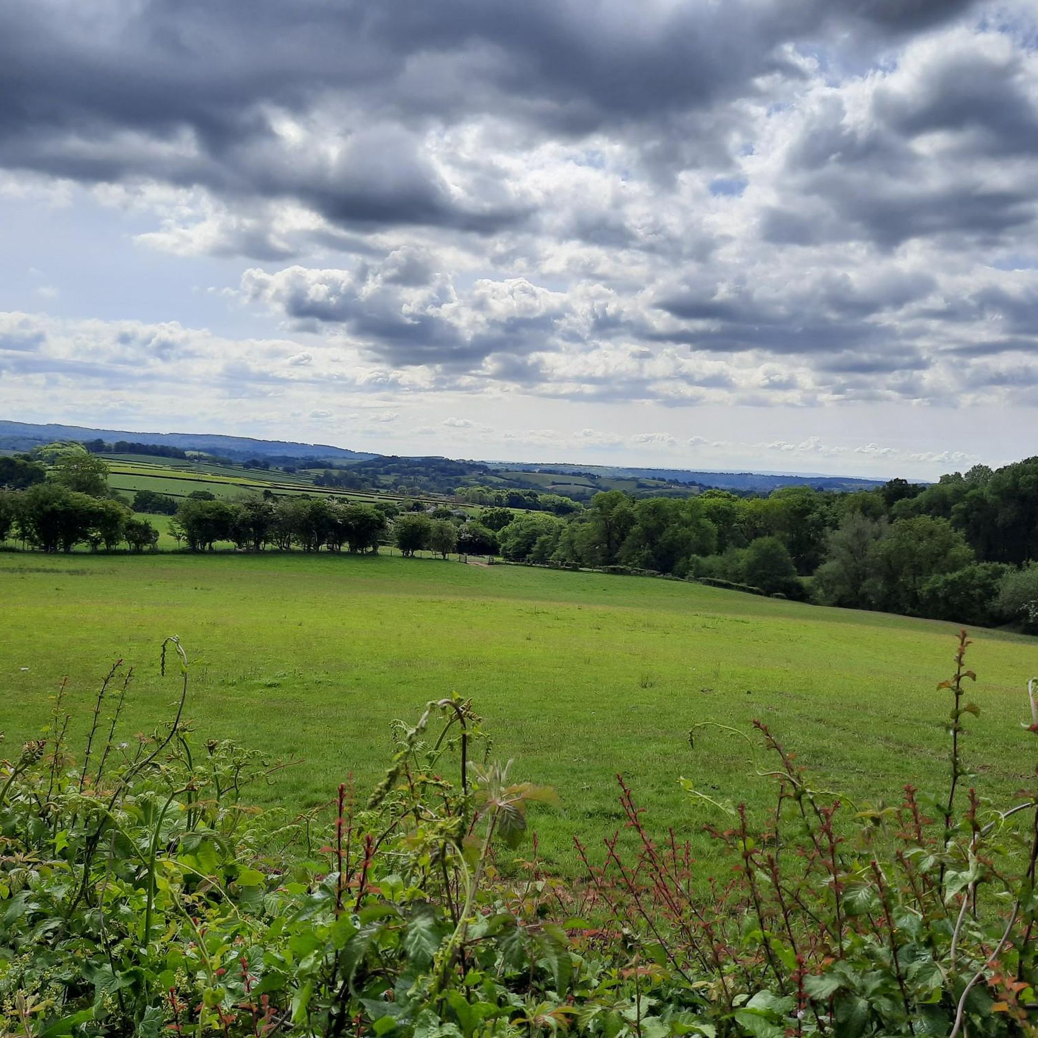
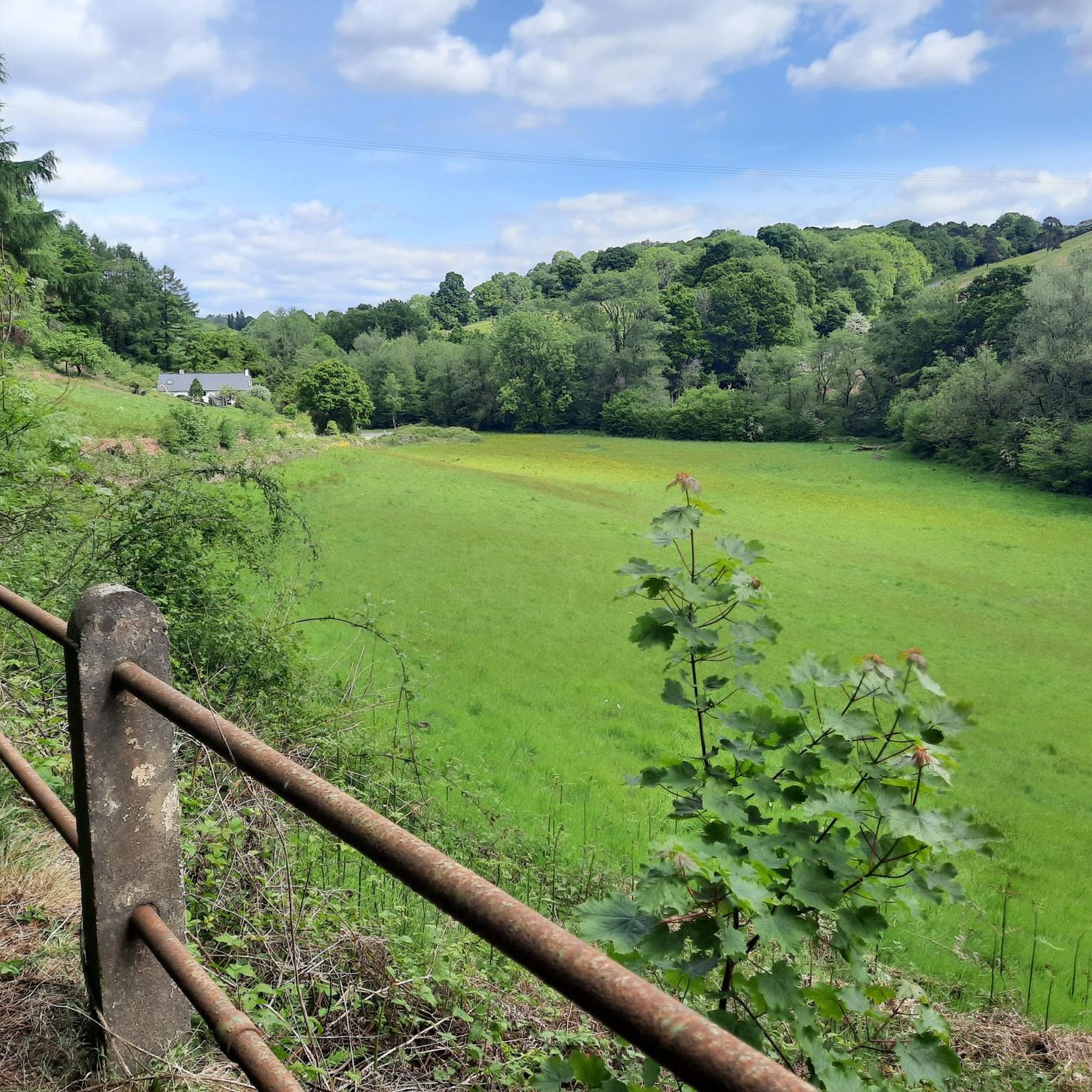

Tips from the Community


The Monmouthshire and Brecon Canal (Welsh: Camlas Sir Fynwy a Brycheiniog) is a small network of canals in South Wales. For most of its currently (2018) navigable 35-mile (56 km) length[1] it runs through the Brecon Beacons National Park, and its present rural character and tranquillity belies its original purpose as an industrial corridor for coal and iron, which were brought to the canal by a network of tramways and/or railroads, many of which were built and owned by the canal company. The "Mon and Brec" was originally two independent canals – the Monmouthshire Canal from Newport to Pontymoile Basin (including the Crumlin Arm) and the Brecknock and Abergavenny Canal running from Pontymoile to Brecon. Both canals were abandoned in 1962, but the Brecknock and Abergavenny route and a small section of the Monmouthshire route have been reopened since 1970. Much of the rest of the original Monmouthshire Canal is the subject of a restoration plan, which includes the construction of a new marina at the Newport end of the canal.
1
0

The Mill is one of the few surviving triple stone water mills left in the country. The 17th century mill, cared for by The Friends of Llanyrafon Mill, houses many historical artefacts from the area.
1
0
Cwmbran Boating Lake is only a few minutes walk from Cwmbran town centre. Enjoy a stroll around the lake and feed the geese and ducks; have an ice cream in the café, picnic in the park or have fun in the children's play area. Cwmbran Boating Lake has something for everyone. During the Summer it hosts the very popular Cwmbran Big Event.
2
0
Frequently Asked Questions
How many running trails are available in Croesyceiliog?
There are over 10 dedicated running routes around Croesyceiliog, catering to various preferences and fitness levels. The area offers a diverse range of trails, from easy, paved loops to more challenging, hilly terrain.
What kind of terrain can I expect on the running routes in Croesyceiliog?
You'll find a variety of terrains, including paved paths suitable for leisurely runs, river walks, and wooded areas. For those seeking a challenge, there are also routes with significant elevation gain through prominent hills like Twmbarlwm and Mynydd Machen. Cwmcarn Forest offers fire roads for running within a natural, wooded setting.
Are there easy running routes suitable for beginners or casual joggers?
Yes, Croesyceiliog offers several easy jogging options. For instance, the Boating Lake loop from Cwmbrân is a moderate 5.5-mile (8.8 km) trail with a primarily paved surface, making it accessible and enjoyable for all skill levels. Another great option is the Afon Llwyd Waterfall – River Walk Near Newport loop from Cwmbrân, which is 4.8 miles (7.7 km) and also features mostly paved surfaces.
Are there challenging trails for experienced runners looking for elevation gain?
Absolutely. The region is characterized by prominent hills like Twmbarlwm Hill and Mynydd Machen Summit, which offer significant elevation gain and rewarding panoramic views. For a more demanding experience, consider routes like the Graig Wood – Craig yr Eurych loop from Cwmbrân, which covers over 11 miles (17.8 km) with substantial climbs.
Can I find running routes with scenic views or interesting landmarks?
Yes, many routes offer stunning vistas and pass by notable landmarks. The elevated areas around Twmbarlwm Hill and Iron Age hillfort provide wonderful views of the Severn Estuary. Similarly, Mynydd Machen Summit affords glorious views over Newport, Cardiff, and the Severn Estuary, making for very scenic runs.
Are there any running trails that feature water elements like rivers or lakes?
Yes, you can enjoy runs alongside water features. The Afon Llwyd Waterfall – River Walk Near Newport loop from Cwmbrân offers scenic river views. Additionally, the Boating Lake loop from Cwmbrân provides a pleasant run around a lake.
What do other runners enjoy most about jogging in Croesyceiliog?
The running trails in Croesyceiliog are highly rated by the komoot community, with an average score of 4.7 stars from over 20 reviews. Runners often praise the diverse landscapes, from tranquil river paths to challenging hilly sections, and the variety of options available for different fitness levels.
Are there circular running routes available in Croesyceiliog?
Many of the running routes in Croesyceiliog are designed as loops, allowing you to start and finish in the same location. Examples include the popular Boating Lake loop from Cwmbrân and the Running loop from Cwmbrân.
Are the running trails in Croesyceiliog suitable for families?
Yes, several routes are suitable for families, especially those looking for less strenuous options. Paved paths and moderate loops, such as the Boating Lake loop from Cwmbrân, are generally good choices for family outings, offering accessible and enjoyable experiences.
Are the running trails in Croesyceiliog dog-friendly?
While specific regulations can vary, many public footpaths and trails in the Croesyceiliog area are generally dog-friendly. It's always recommended to keep dogs on a lead, especially in areas with livestock or near roads, and to clean up after your pet to ensure a pleasant experience for everyone.
Where can I find longer distance running trails in the area?
For those seeking longer runs, Croesyceiliog offers routes that extend over 10 miles. The Graig Wood – Craig yr Eurych loop from Cwmbrân is a challenging option spanning nearly 11.1 miles (17.8 km), providing a significant distance for endurance training.
Are there any running routes that pass through wooded areas?
Yes, you can find routes that take you through natural wooded settings. Cwmcarn Forest, for example, features a network of fire roads that can be incorporated into your run, offering a peaceful, tree-lined environment away from more technical trails.
Most popular routes around Croesyceiliog
Most popular attractions around Croesyceiliog

Get inspired with the komoot mobile app


Explore more
Browse the best Running Trails & Routes in other regions.
