The best mountain hikes in Röhlinswald
3.0
(1)
5
hikers
2
hikes
Mountaineering routes in Röhlinswald traverse a landscape characterized by dense forests and varied terrain, offering opportunities for exploration within the Schwarzwald-Baar-Kreis. The region features moderate elevation changes, with routes winding through wooded areas and open sections. While not alpine in nature, the trails provide a good challenge for those seeking outdoor activities in a forested environment.
Best mountaineering routes in Röhlinswald
- The most popular mountaineering route is Uhufelsen – Germanswald loop from Mönchweiler, a 9.0 mile (14.5 km) trail…
Last updated: July 26, 2026
3.0
(1)
2
hikers
6.42km
01:47
120m
120m
Easy mountaineering route. Great for any fitness level. Easily-accessible paths. Suitable for all skill levels.
1
hikers
Moderate mountaineering route. Good fitness required. Easily-accessible paths. Suitable for all skill levels.

Sign up for free
2
hikers
7.79km
02:09
130m
130m
Moderate mountaineering route. Good fitness required. Easily-accessible paths. Suitable for all skill levels.
Our route recommendations are based on thousands of hikes, rides, and runs completed by other people on komoot.
Start today with a free account
Your next adventure awaits.
Login or Signup
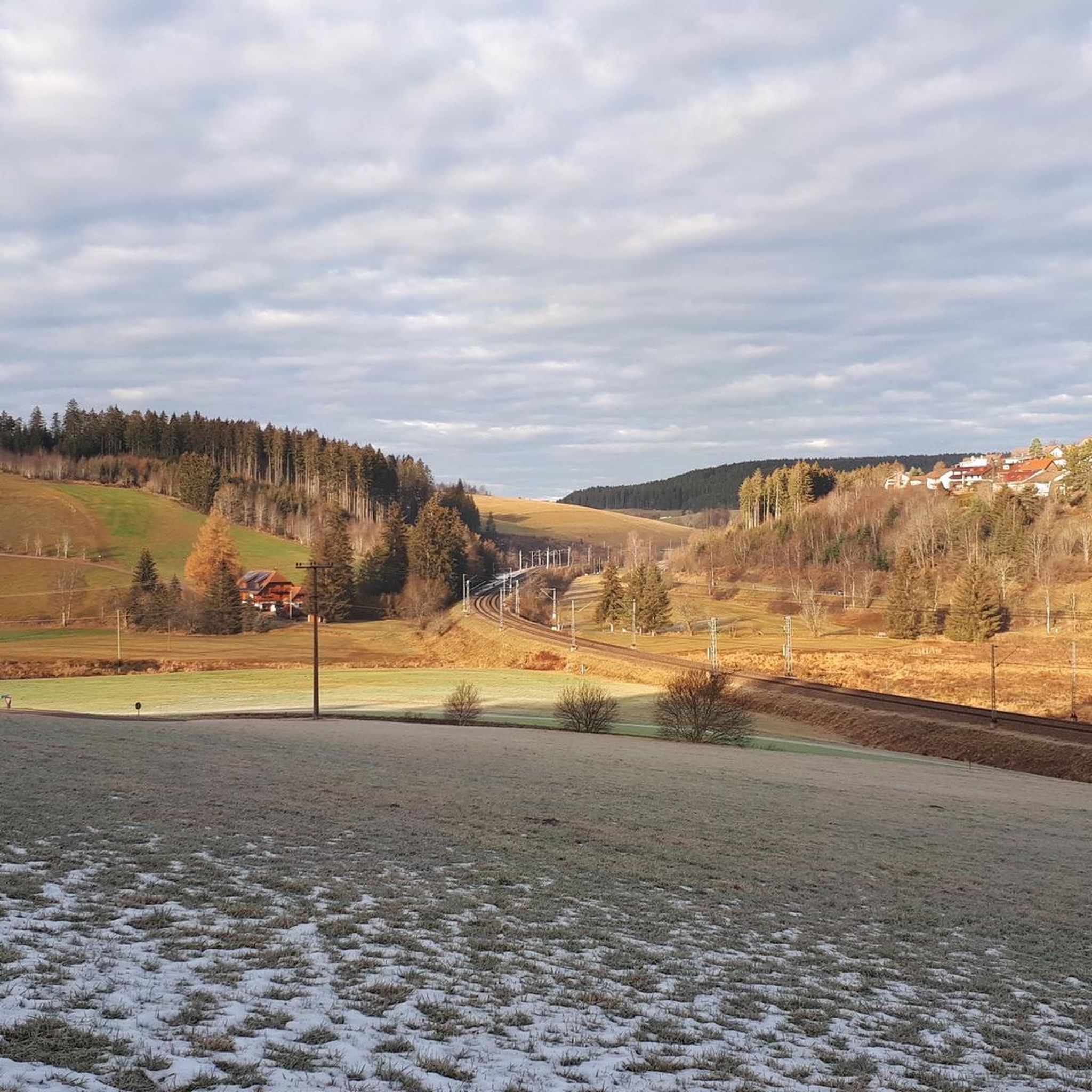
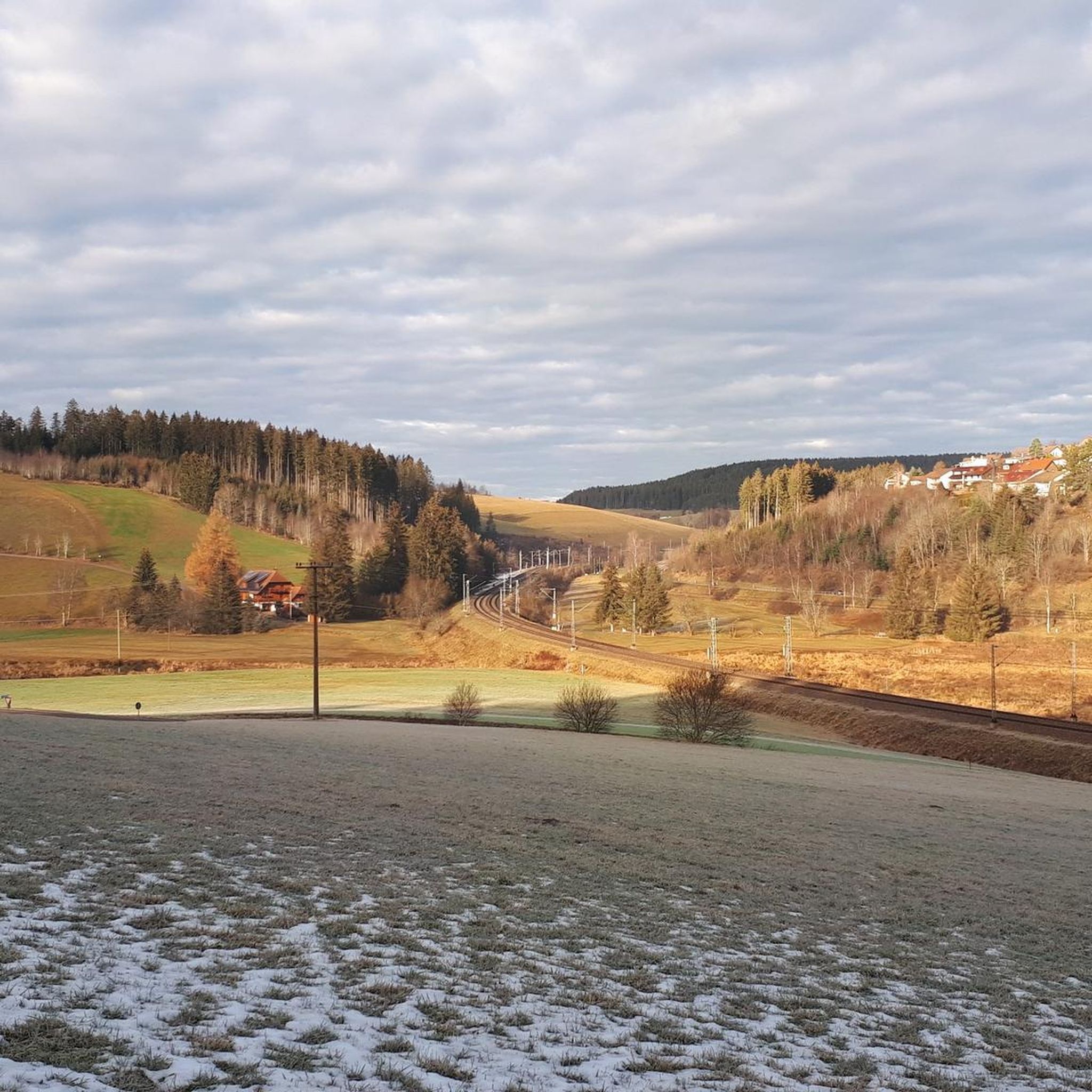
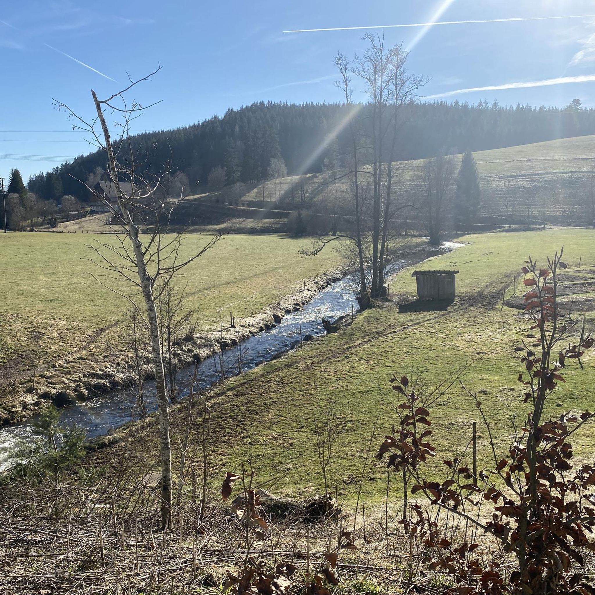
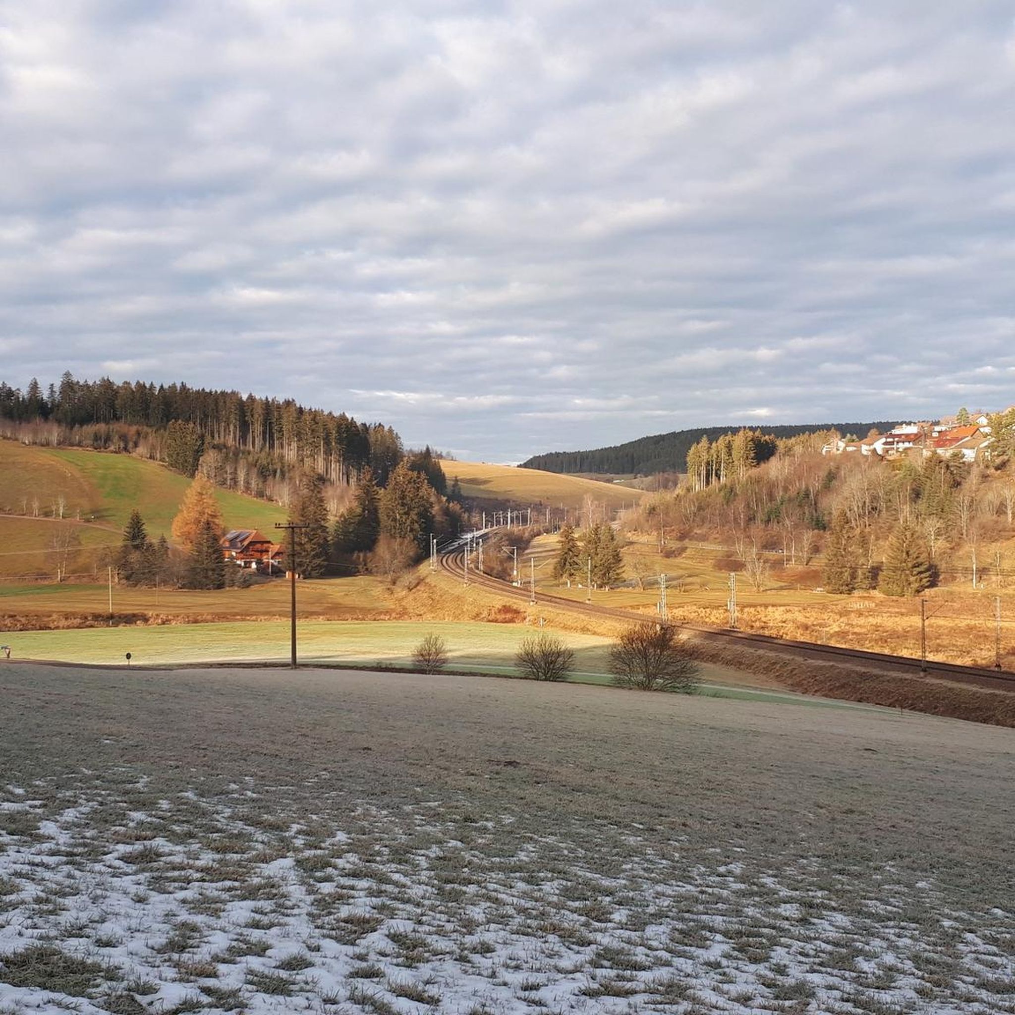
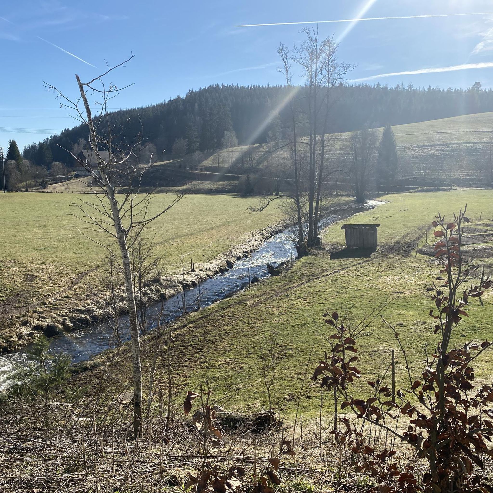
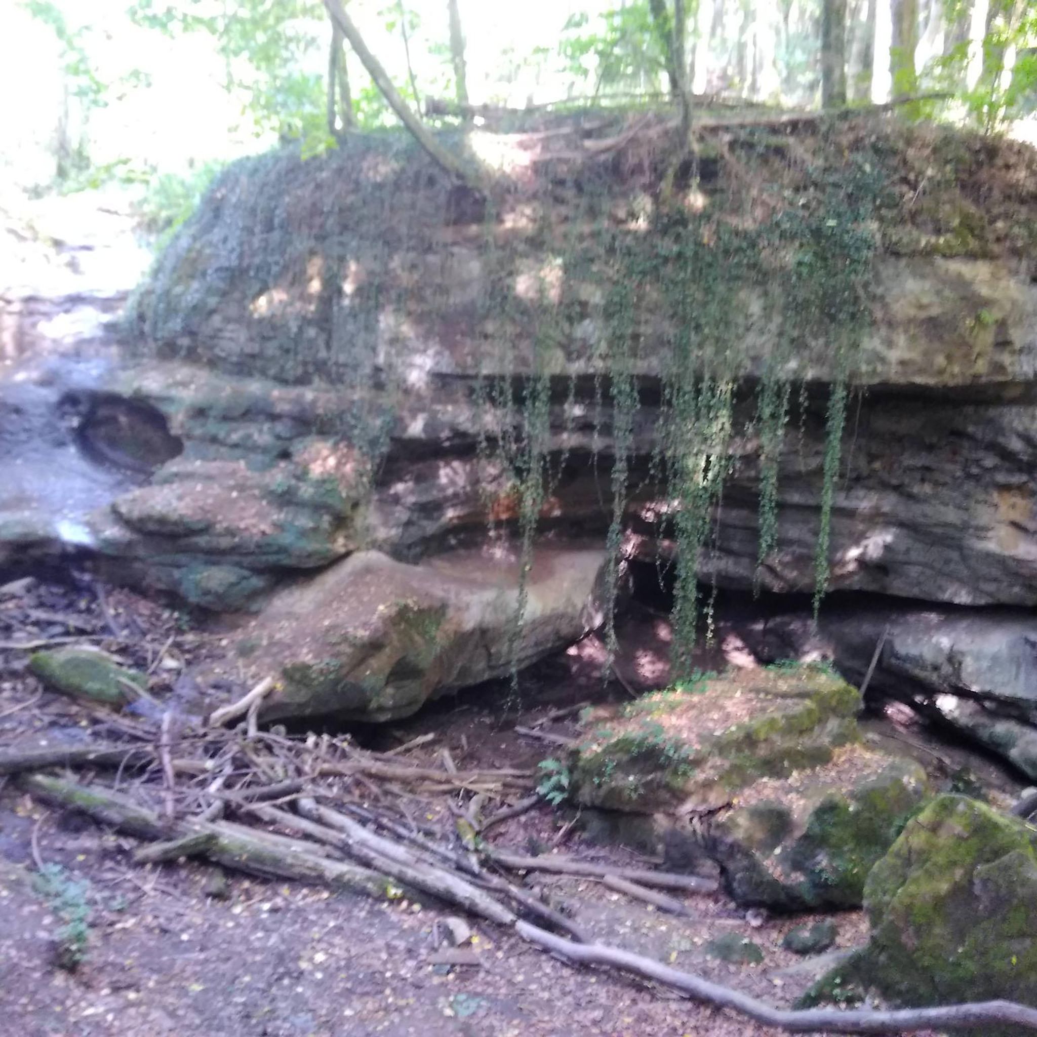
Tips from the Community

the watershed between the Danube and the Rhine
0
0

The European watershed at Martinskapelle near Furtwangen in the Black Forest separates the catchment area of the North Sea (via the Rhine) from that of the Black Sea (via the Danube) at an altitude of around 1,085 meters. Course of the watershed Rhine catchment area (northwestern side): The Elz rises here, which ultimately flows into the North Sea via the Rhine. Danube catchment area (southeastern side): Only about 100 meters from the watershed lies the Breg spring. The Breg is considered the longest source river of the Danube, whose waters flow into the Black Sea. The separation: A ridge only a few meters wide decides here whether a water droplet begins its journey west to the Rhine or east to the Danube.
0
0

Small shelter here, solid wooden floor.
0
0

A cozy place that invites you to linger on the bench.
0
0

Great rest area in front of the boardwalk
0
0

information board at the Blindensee, various hiking trails accessible.
1
0
Memorial cross in the forest.
1
0

This picture was the last one we took. We reached the parking lot from the opposite direction and didn't recognize the entrance (the direct route to the lake). That sometimes happens when you trust your navigation system too much :-)
0
0
Frequently Asked Questions
How many mountaineering routes are available in Röhlinswald?
Röhlinswald offers a selection of 4 dedicated mountaineering routes. These trails are primarily designed for moderate ability levels, traversing dense forests and varied terrain within the Schwarzwald-Baar-Kreis.
What is the typical difficulty level of mountaineering routes in Röhlinswald?
The mountaineering routes in Röhlinswald are predominantly classified as moderate. While not alpine in nature, they provide a good challenge with moderate elevation changes, winding through wooded areas and open sections. There is also one easy route available, the Ramstein Chapel loop from Tennenbronn.
Are there any family-friendly mountaineering options in Röhlinswald?
Yes, for families looking for a less strenuous option, the Ramstein Chapel loop from Tennenbronn is an easy mountaineering route. It covers 6.4 km with manageable elevation gain, making it suitable for a family outing.
Can I bring my dog on the mountaineering trails in Röhlinswald?
The trails in Röhlinswald, characterized by dense forests and varied terrain, are generally suitable for dogs. However, it's always recommended to keep your dog on a leash, especially in wooded areas, to protect wildlife and ensure a pleasant experience for all users. Always check local regulations for specific trails.
What kind of scenery can I expect on the mountaineering routes in Röhlinswald?
You can expect to traverse a landscape dominated by dense forests and varied terrain. The routes offer views of the surrounding woodlands and open sections, providing a tranquil experience in the Schwarzwald-Baar-Kreis. While not alpine, the trails offer natural beauty typical of the Black Forest region.
Are there any circular mountaineering routes in Röhlinswald?
Yes, all the mountaineering routes listed for Röhlinswald are circular. Examples include the popular Uhufelsen – Germanswald loop from Mönchweiler and the Brend Tower – Brend Mountain Inn loop from Schönwald im Schwarzwald, allowing you to start and end at the same point.
What are some interesting places to see near the mountaineering routes in Röhlinswald?
While exploring the mountaineering routes, you can find several points of interest. For scenic views, consider visiting the Lounger with a view of the Meierstal. If you're looking for a place to relax or eat, the Grossbauer Barbecue Area or the Pony and Country Inn Mösle are nearby facilities.
What is the best time of year for mountaineering in Röhlinswald?
The best time for mountaineering in Röhlinswald is typically from spring through autumn when the weather is mild and the trails are clear. The dense forests provide pleasant shade during warmer months, and the moderate terrain is generally accessible. Winter conditions can vary, potentially requiring appropriate gear for snow or ice.
What do other mountaineers enjoy most about the routes in Röhlinswald?
The mountaineering routes in Röhlinswald are highly rated by the komoot community, with an average score of 3.0 stars. Users often praise the well-maintained trails, the tranquil forest environment, and the moderate challenge suitable for a good outdoor workout without being overly strenuous.
Are there any permits required for mountaineering in Röhlinswald?
Generally, no specific permits are required for hiking or mountaineering on the established trails in Röhlinswald. The routes are publicly accessible. However, it's always good practice to respect local signage and any temporary restrictions that might be in place.
Are there any less crowded mountaineering routes in Röhlinswald?
While the region's trails are generally not overly crowded, for a potentially quieter experience, consider exploring routes like the Schönwälder Urhüttle – Blindensee loop from Schönwald im Schwarzwald. This moderate 7.8 km trail offers a peaceful journey through forested sections.
What should I wear for mountaineering in Röhlinswald?
Given the forested and varied terrain, it's advisable to wear sturdy hiking boots with good ankle support. Layered clothing is recommended to adapt to changing weather conditions, and waterproof outerwear can be beneficial, especially during spring and autumn. Don't forget a backpack with water, snacks, and a map or GPS device.
Most popular routes in Röhlinswald
Most popular attractions in Röhlinswald

Get inspired with the komoot mobile app


Explore more
Browse the best Mountain Hikes & Routes in other regions.
