The best mountain hikes around Bichelsee-Balterswil
4.8
(3)
20
hikers
4
hikes
Mountaineering routes around Bichelsee-Balterswil traverse a landscape characterized by rolling hills and forested areas, offering varied terrain for exploration. The region features moderate ascents and descents, often leading through woodlands and open pastures. Elevation changes are typical, providing panoramic views from higher points. The trails are well-suited for those seeking a balance of physical activity and natural scenery.
Best mountaineering routes around Bichelsee-Balterswil
- The most popular mountaineering route is Mountaineering loop from Steg, a 9.1 miles (14.7 km) trail…
Last updated: July 8, 2026
4.5
(2)
11
hikers
7.00km
02:37
410m
410m
Moderate mountaineering route. Good fitness required. Mostly accessible paths. Sure-footedness required.
2
hikers
14.9km
04:42
500m
500m
Moderate mountaineering route. Good fitness required. Mostly accessible paths. Sure-footedness required.

Sign up for free
2
hikers
10.1km
03:02
320m
320m
Moderate mountaineering route. Good fitness required. Easily-accessible paths. Suitable for all skill levels.
5.0
(1)
3
hikers
22.5km
07:18
930m
930m
Hard mountaineering route. Very good fitness required. Mostly accessible paths. Sure-footedness required.
10.0km
03:13
410m
410m
Moderate mountaineering route. Good fitness required. Mostly accessible paths. Sure-footedness required.
Our route recommendations are based on thousands of hikes, rides, and runs completed by other people on komoot.
Start today with a free account
Your next adventure awaits.
Login or Signup
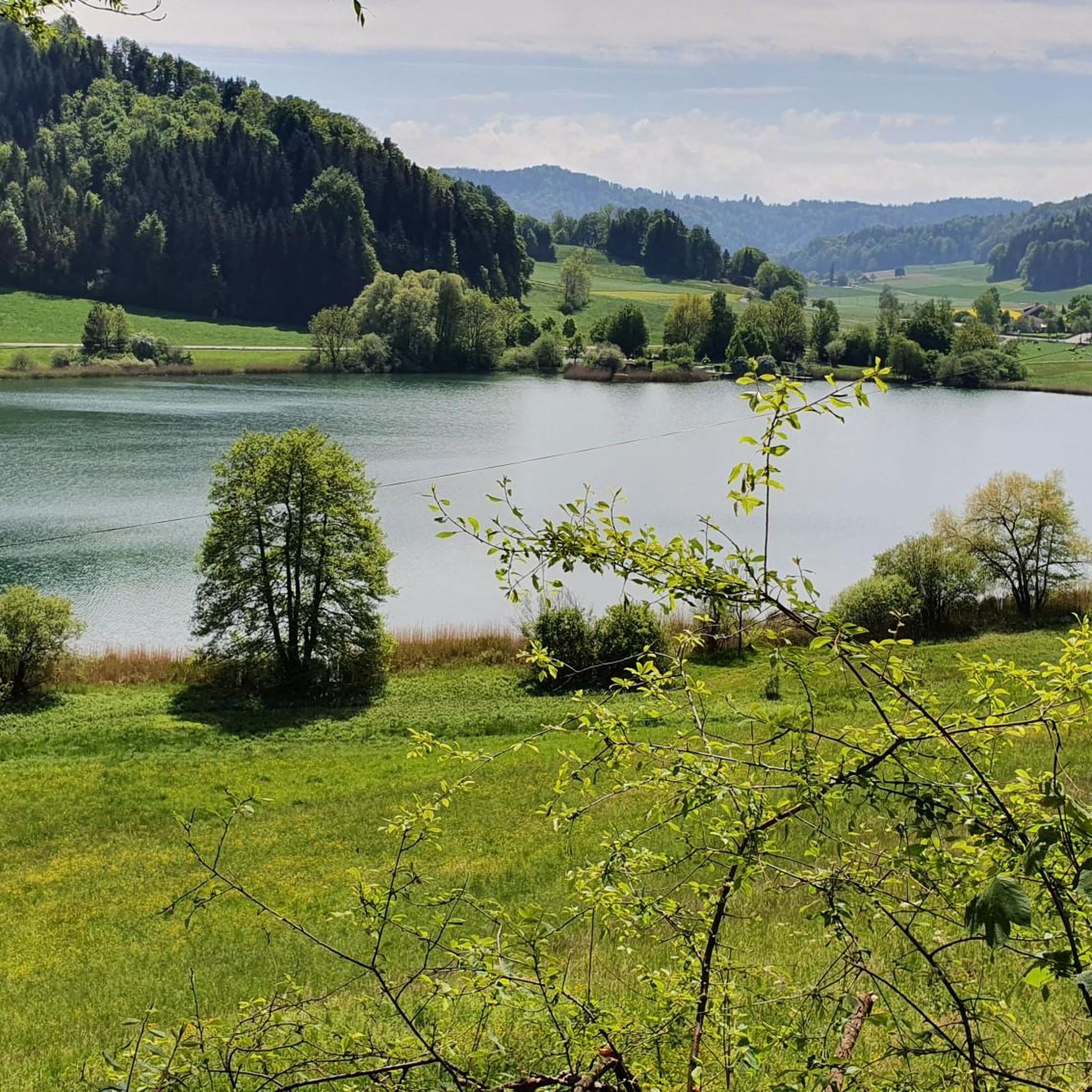
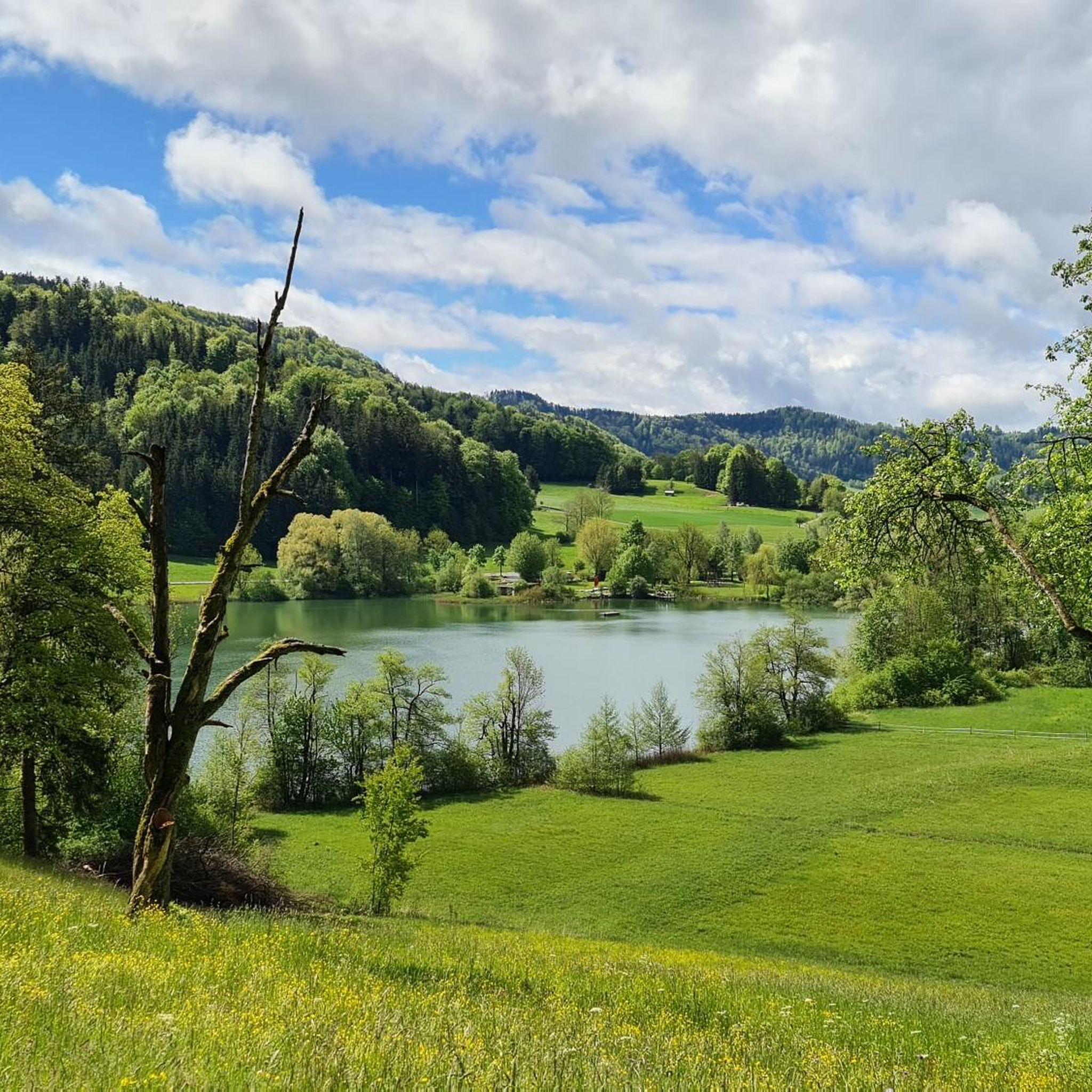
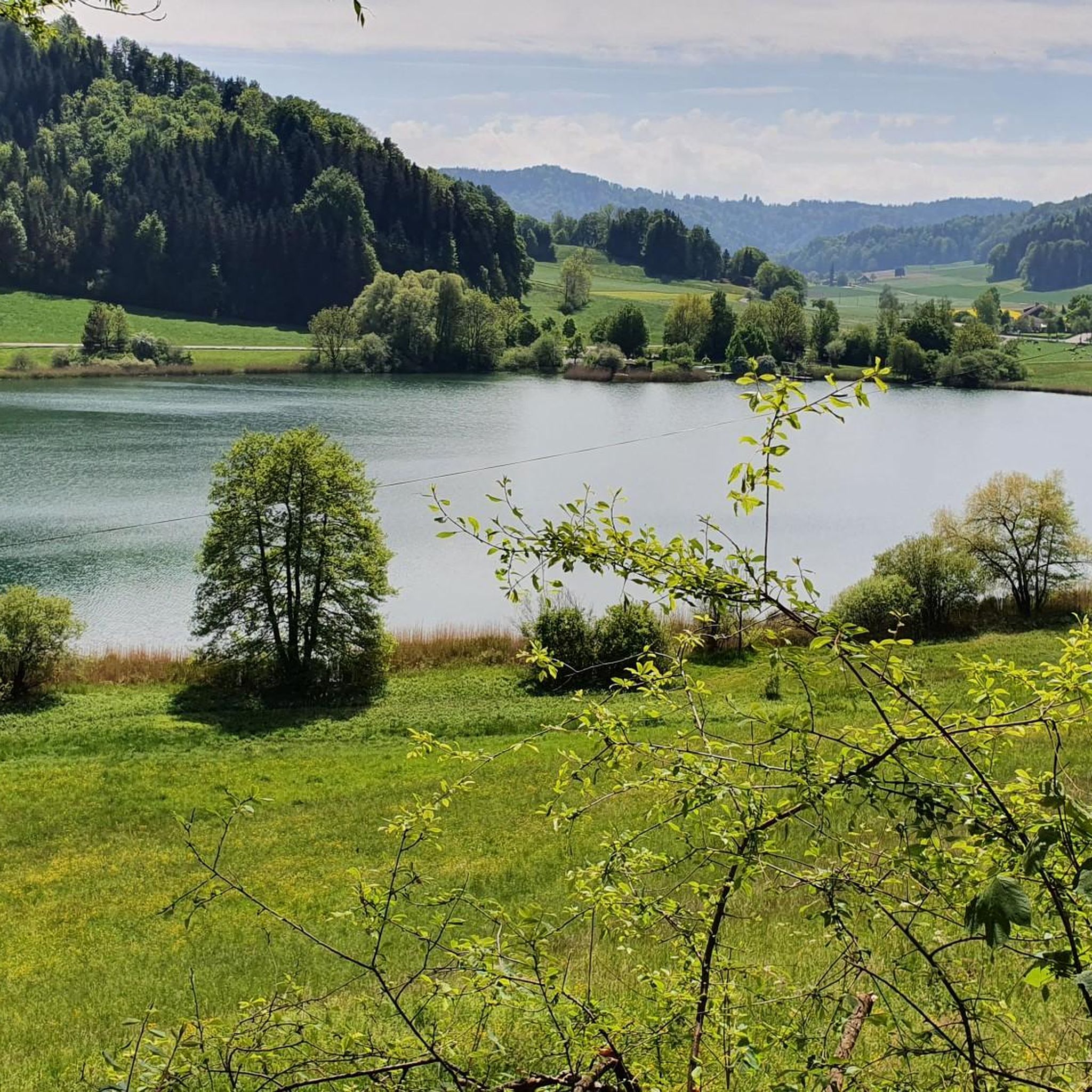
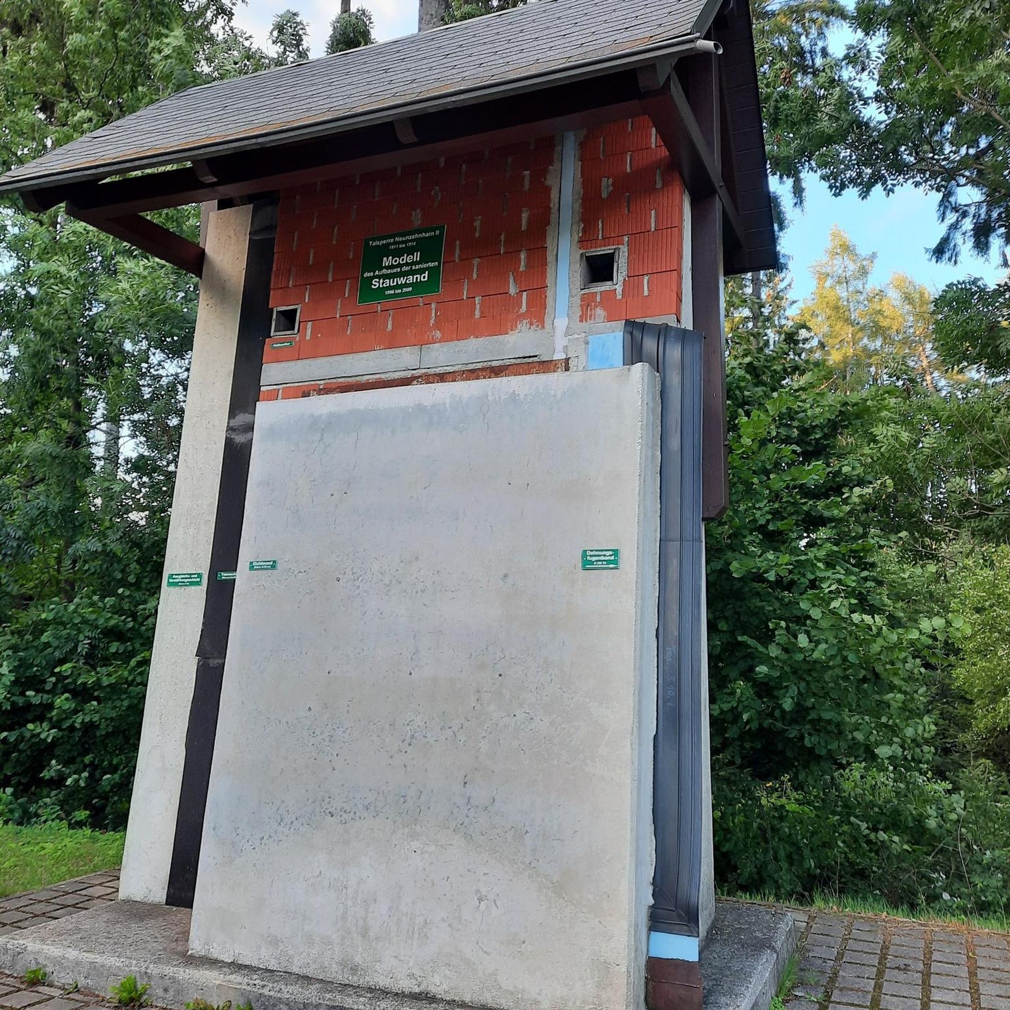
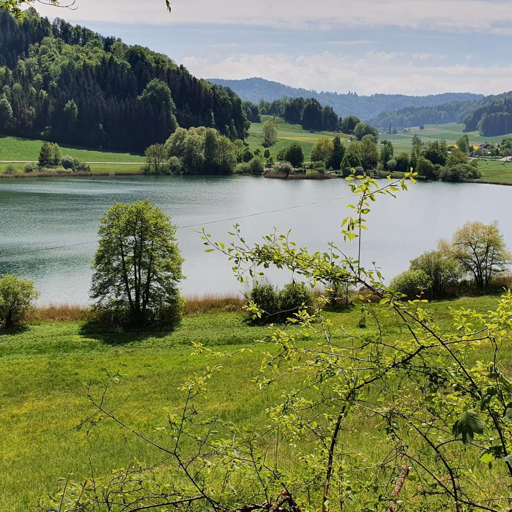
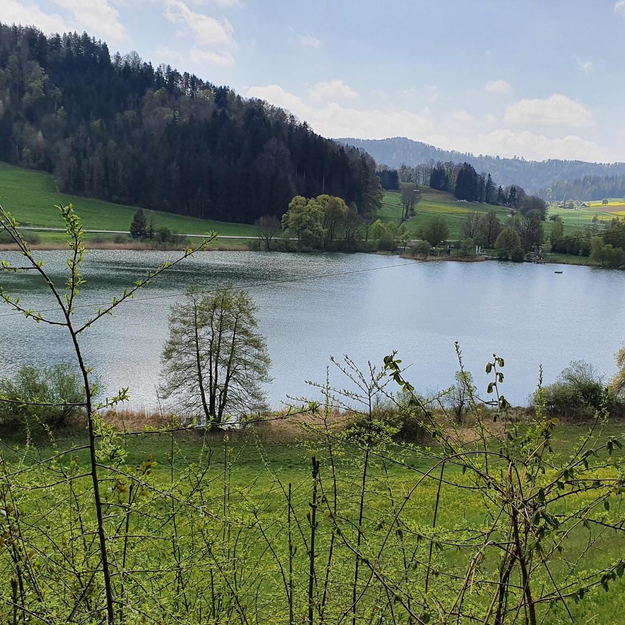
Tips from the Community

pretty here, very pretty
0
0
Frequently Asked Questions
How many mountaineering routes are available around Bichelsee-Balterswil?
There are several mountaineering routes around Bichelsee-Balterswil, with komoot featuring 4 distinct tours. These routes traverse a landscape of rolling hills and forested areas, offering varied terrain for exploration.
Are there any easy mountaineering routes for beginners in the Bichelsee-Balterswil area?
The mountaineering routes around Bichelsee-Balterswil are generally classified as moderate to difficult, featuring significant elevation changes and varied terrain. While there are no routes specifically rated as 'easy' in this guide, those new to mountaineering might consider the Hörnli loop from Steg, which is shorter than others at 4.3 miles (6.9 km) and offers a good introduction to the region's characteristics.
What are the typical lengths and durations of mountaineering routes in Bichelsee-Balterswil?
The mountaineering routes in Bichelsee-Balterswil vary in length and duration. For instance, the Mountaineering loop from Steg is about 9.1 miles (14.7 km) and takes approximately 4 hours 50 minutes, while the more challenging Hulftegg loop from Steg extends to 13.9 miles (22.4 km) and can take over 7 hours to complete.
Are there circular mountaineering routes available in Bichelsee-Balterswil?
Yes, many of the mountaineering routes in Bichelsee-Balterswil are designed as circular loops, allowing you to start and finish at the same point. Examples include the popular Ascent to Chlihörnli – Hörnli Summit loop from Bauma and the Hörnli loop from Steg.
What kind of scenic viewpoints can I expect along the mountaineering routes?
The region offers several scenic viewpoints, often from higher points along the trails. You can enjoy panoramic views from the Schauenberg Ruins and Panoramic Viewpoint, or reach the Hörnli Summit for expansive vistas. The routes frequently lead through open pastures and forested areas, providing diverse natural beauty.
Are the mountaineering trails in Bichelsee-Balterswil suitable for families with children?
Given that the routes are primarily moderate to difficult with significant elevation changes, they might be challenging for younger children or families seeking very easy walks. However, active families with older, experienced children who are accustomed to longer hikes could find routes like the Hagheerenloch Cave – Höchstock Settlement loop from Bauma enjoyable, as it offers interesting natural features.
Can I bring my dog on the mountaineering routes in Bichelsee-Balterswil?
Generally, dogs are welcome on hiking trails in Switzerland, including those around Bichelsee-Balterswil. It's always advisable to keep your dog on a leash, especially in areas with livestock or near wildlife. Ensure your dog is fit enough for the moderate to difficult terrain and carry enough water for both of you.
What are some interesting landmarks or attractions near the mountaineering routes?
Beyond the trails themselves, the region boasts several points of interest. You can visit the historic Schauenberg Ruins, discover the tranquil Lake Bichel, or explore the Hutziker Tobel Waterfalls. The Hulftegg Pass summit also offers a notable landmark.
What is the best time of year for mountaineering in Bichelsee-Balterswil?
The best time for mountaineering in Bichelsee-Balterswil is typically from late spring to early autumn (May to October). During these months, the weather is generally more stable, and trails are clear of snow, offering pleasant conditions for exploring the forested hills and open pastures. Always check local weather forecasts before heading out.
Are there options for public transport to access the mountaineering routes?
Many routes in the region, such as those starting from Steg or Bauma, are accessible by public transport. These villages are typically served by local bus or train services, making it convenient to reach the trailheads without a car. We recommend checking local transport schedules for specific connections to your chosen starting point.
What do other mountaineers enjoy most about the routes in Bichelsee-Balterswil?
The mountaineering routes in Bichelsee-Balterswil are highly rated by the komoot community, with an average score of 4.2 stars. Reviewers often praise the varied terrain, the balance of physical activity and natural scenery, and the panoramic views from higher points. The mix of forested paths and open pastures is frequently highlighted as a key appeal.
Most popular routes around Bichelsee-Balterswil
Most popular attractions around Bichelsee-Balterswil

Get inspired with the komoot mobile app


Explore more
Browse the best Mountain Hikes & Routes in other regions.
