The best mountain hikes around Lüterkofen-Ichertswil
4.9
(16)
64
hikers
7
hikes
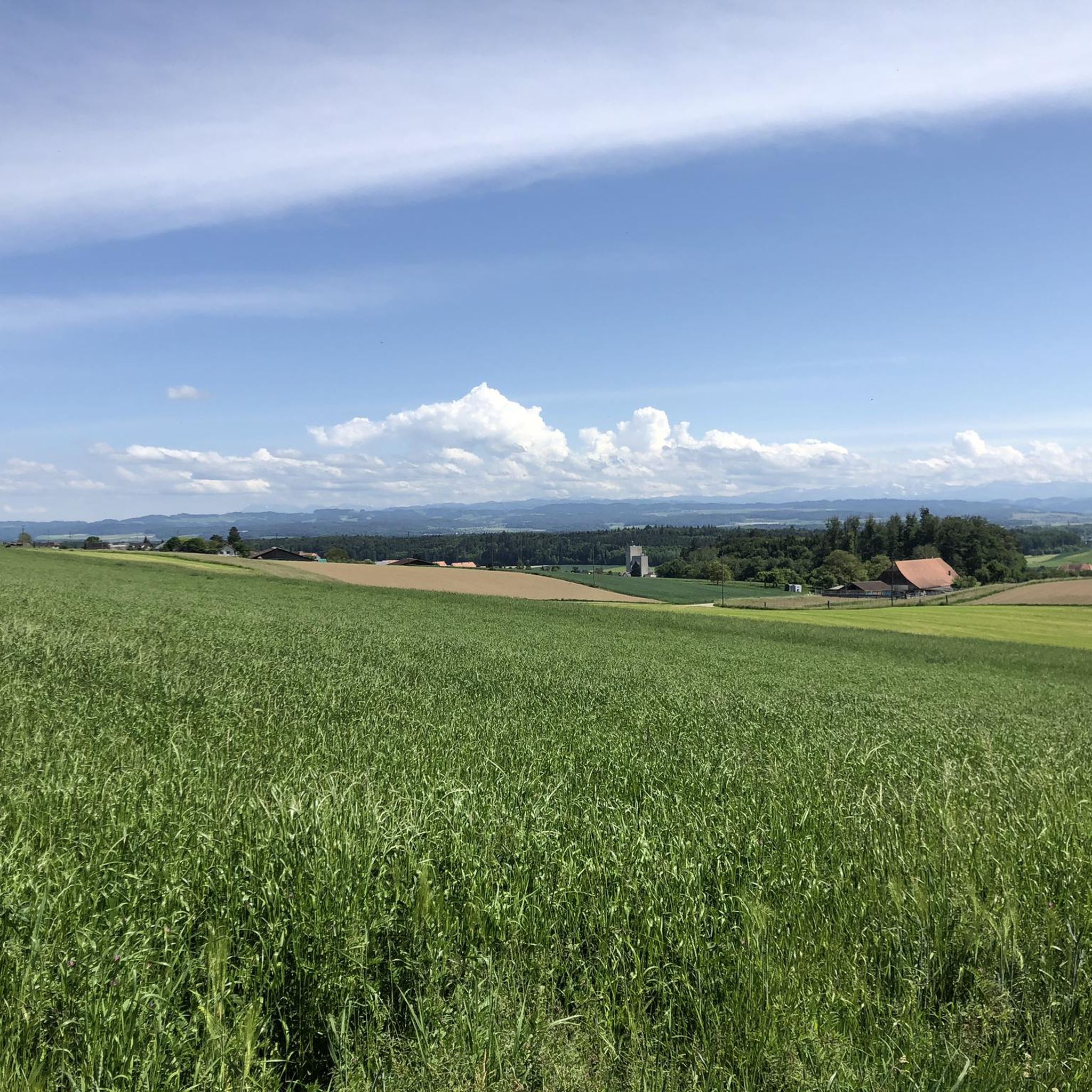
Mountaineering routes around Lüterkofen-Ichertswil traverse a landscape characterized by green meadows, dense forests, and hilly terrain, offering views of the Jura chain. While not known for technical alpine climbing, the region provides strenuous outdoor experiences through its varied topography. The area features an extensive network of paths that wind through natural settings, including stream courses and open fields. These routes offer significant elevation gains and challenging distances, suitable for experienced mountaineers seeking demanding trails.
Best mountaineering routes around Lüterkofen-Ichertswil
- The…
Last updated: July 22, 2026
7
hikers
7.52km
03:49
630m
620m
Hard mountaineering route. Good fitness required. Sure-footedness, sturdy shoes and alpine experience required.
5.0
(3)
6
hikers
14.2km
06:06
900m
900m
Hard mountaineering route. Very good fitness required. Sure-footedness, sturdy shoes and alpine experience required.

Sign up for free
5.0
(4)
4
hikers
14.9km
06:02
890m
890m
Hard mountaineering route. Very good fitness required. Sure-footedness, sturdy shoes and alpine experience required.
4.0
(1)
4
hikers
12.5km
04:49
770m
770m
Hard mountaineering route. Good fitness required. Sure-footedness, sturdy shoes and alpine experience required.
5.0
(1)
6
hikers
12.3km
04:43
760m
760m
Hard mountaineering route. Good fitness required. Sure-footedness, sturdy shoes and alpine experience required.
Get access to more routes and recommendations from other explorers.
Sign up for free
Already have an account?
Our route recommendations are based on thousands of hikes, rides, and runs completed by other people on komoot.
Start today with a free account
Your next adventure awaits.
Login or Signup

Tips from the Community

pretty here, very pretty
1
0

The Herrenloch is a cave with two entrances - a kind of tunnel - below the Balmfluechöpfli. It can be reached by trails both from the west ridge of the Balmfluechöpfli and as the end of the Hornpfad. The exit on the east side is reserved for the very experienced only; there has also been a fatal fall here. From the western entrance of the Herrenloch, you can also climb directly to the summit of the Balmfluechöpfli via trails.
0
0

wonderful and very beautiful area here
3
0
wonderful and very beautiful area here
2
0
wonderful and very beautiful area here
3
0
pretty here, very pretty
0
2
pretty here, mega super pretty
0
0
Frequently Asked Questions
What kind of mountaineering experience can I expect in Lüterkofen-Ichertswil?
While Lüterkofen-Ichertswil is not known for technical alpine climbing, the routes here offer strenuous outdoor experiences through varied topography. You'll traverse green meadows, dense forests, and hilly terrain, often with significant elevation gains, providing challenging trails for experienced mountaineers. The landscape also offers picturesque views of the Jura chain.
How many mountaineering routes are available in Lüterkofen-Ichertswil?
There are 8 mountaineering routes available around Lüterkofen-Ichertswil. These routes are primarily designed for experienced mountaineers, with 7 classified as difficult and 1 as moderate.
Are there any family-friendly or easier mountaineering routes in the area?
The mountaineering routes around Lüterkofen-Ichertswil are generally challenging, with most classified as difficult. While there is one moderate route, dedicated easy or family-friendly mountaineering options in the technical sense are not a primary focus. However, the broader region offers numerous walking and hiking paths through forests and meadows that are suitable for families and less strenuous outings.
Are the mountaineering routes in Lüterkofen-Ichertswil circular?
Yes, many of the mountaineering routes in the area are circular. For example, you can explore the Gitziflue Viewpoint – Hasenmatt Summit Cross loop from Oberdorf SO, the View from Balmfluehchöpfli – Röti Summit (1,395 m) loop from Rüttenen, or the Küferweg Trail (T3) loop from Bezirk Lebern, all of which offer a full loop experience.
What are some notable viewpoints or natural attractions along the routes?
The region offers several stunning viewpoints and natural attractions. You can enjoy panoramic vistas from Weissenstein or the Balmfluechöpfli Summit. The Verenaschlucht and Hermitage is a beautiful gorge worth exploring. Additionally, the Hasenmatt Summit and Röti also provide expansive views.
What is the best time of year to go mountaineering in Lüterkofen-Ichertswil?
The region is enjoyable across multiple seasons. Autumn is particularly recommended for hikes like the Buechibärg Route, offering vibrant colors. During warmer months, the beautiful beech forests provide welcome shade, making them ideal for pleasant hikes. Always check local weather conditions before heading out.
Are there any routes that feature gorges or water features?
Yes, the Chessel Gorge – View from Balmfluehchöpfli loop from Rüttenen specifically highlights the Chessel Gorge. Additionally, the Verenaschlucht and Hermitage is a notable gorge in the vicinity, and the area features routes along the Aare River before ascending towards the Bucheggberg.
What do other mountaineers say about the routes in Lüterkofen-Ichertswil?
The mountaineering routes around Lüterkofen-Ichertswil are highly rated by the komoot community, with an average score of 5.0 stars from over 8 reviews. More than 50 mountaineers have used komoot to explore the varied terrain, often praising the challenging nature and scenic beauty of the trails.
Can I bring my dog on the mountaineering trails?
While specific regulations for dogs on these particular mountaineering routes are not detailed, Switzerland generally has dog-friendly policies on hiking trails. However, it's always advisable to keep dogs on a leash, especially in areas with wildlife or livestock, and to check for any local restrictions before your trip. Ensure your dog is fit enough for difficult and strenuous routes.
Are there any routes that offer views of the Jura chain?
Yes, many routes in the Lüterkofen-Ichertswil area offer unique and picturesque views of the Jura chain. The region's landscape is characterized by its green meadows and dense forests, providing excellent vantage points for these vistas, particularly along routes that traverse the hilly terrain.
What kind of terrain can I expect on the mountaineering routes?
The terrain on these mountaineering routes is varied and challenging. You will encounter a mix of green meadows, dense forests, and hilly sections. Some trails, like the Küferweg Trail (T3) loop from Bezirk Lebern, lead through diverse natural features. Expect significant elevation changes and demanding paths suitable for experienced hikers.
Are there any specific summits I can reach on these routes?
Yes, several routes lead to prominent summits. You can reach the Hasenmatt Summit via the Gitziflue Viewpoint – Hasenmatt Summit Cross loop from Oberdorf SO. Another option is to ascend to the Röti Summit (1,395 m) on the View from Balmfluehchöpfli – Röti Summit (1,395 m) loop from Rüttenen.
Most popular routes around Lüterkofen-Ichertswil
Most popular attractions around Lüterkofen-Ichertswil

Get inspired with the komoot mobile app


Explore more
Browse the best Mountain Hikes & Routes in other regions.
