The best mountain hikes around Gänsbrunnen
4.9
(20)
102
hikers
15
hikes
Mountaineering routes around Gänsbrunnen traverse a landscape characterized by prominent peaks, varied elevations, and dense woodlands within the Thal Nature Park. The region features challenging ascents to viewpoints and summits, offering diverse terrain for experienced mountaineers. These routes often include significant elevation gains, leading to panoramic vistas over the surrounding area.
Best mountaineering routes around Gänsbrunnen
- The most popular mountaineering route is Herrenloch Cave – View from Balmfluehchöpfli loop from Rüttenen, a 4.7 miles (7.6 km) trail that takes…
Last updated: November 8, 2026
5.0
(3)
23
hikers
7.43km
03:28
620m
620m
Hard mountaineering route. Good fitness required. Sure-footedness, sturdy shoes and alpine experience required.
8
hikers
7.76km
03:56
640m
630m
Hard mountaineering route. Good fitness required. Sure-footedness, sturdy shoes and alpine experience required.

5.0
(1)
7
hikers
7.87km
02:49
370m
370m
Hard mountaineering route. Good fitness required. Sure-footedness, sturdy shoes and alpine experience required.
5.0
(3)
6
hikers
14.2km
06:07
900m
900m
Hard mountaineering route. Very good fitness required. Sure-footedness, sturdy shoes and alpine experience required.
5.0
(4)
4
hikers
14.9km
06:02
890m
890m
Hard mountaineering route. Very good fitness required. Sure-footedness, sturdy shoes and alpine experience required.
Get access to more routes and recommendations from other explorers.
Already have an account?
Our route recommendations are based on thousands of hikes, rides, and runs completed by other people on komoot.
Start today with a free account
Your next adventure awaits.
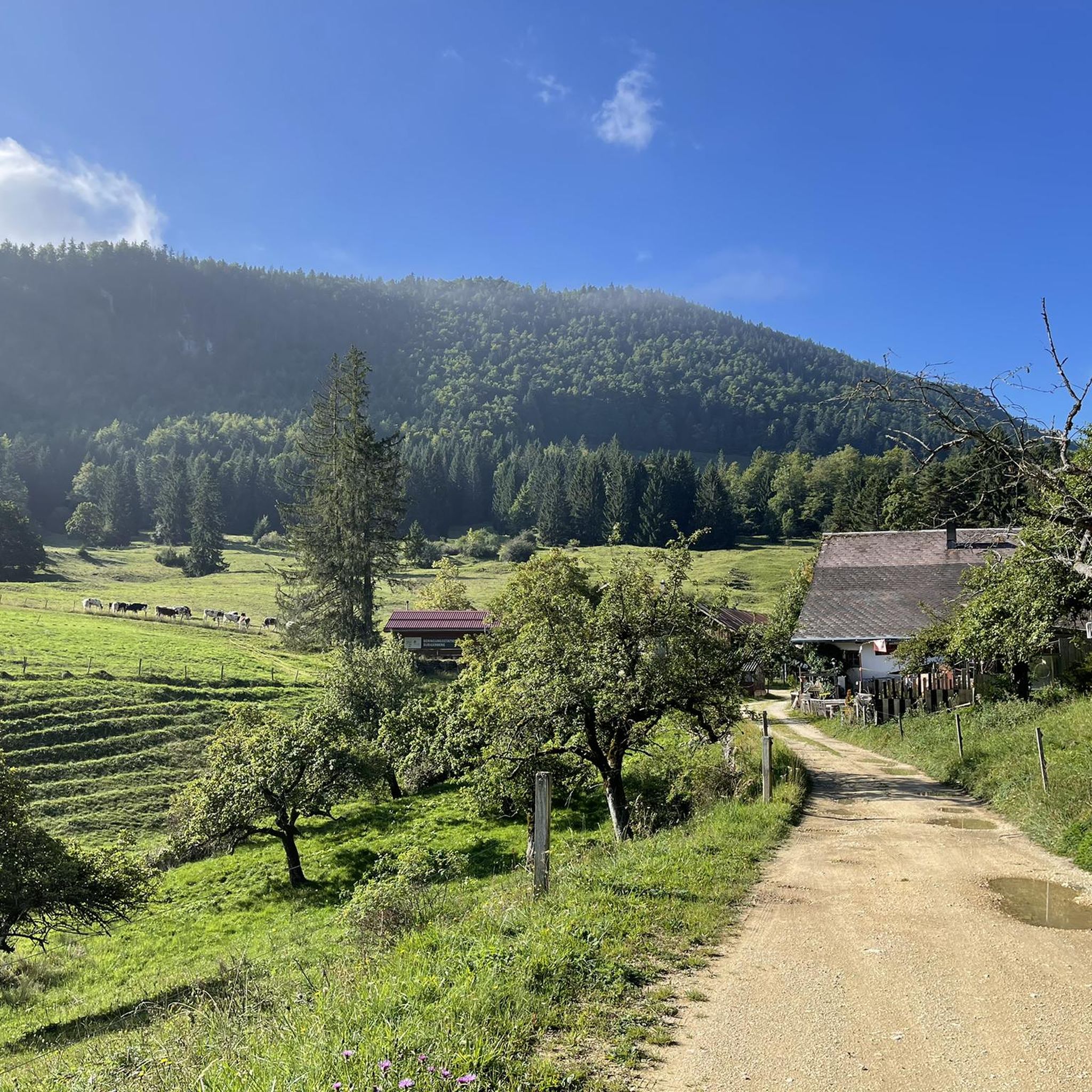
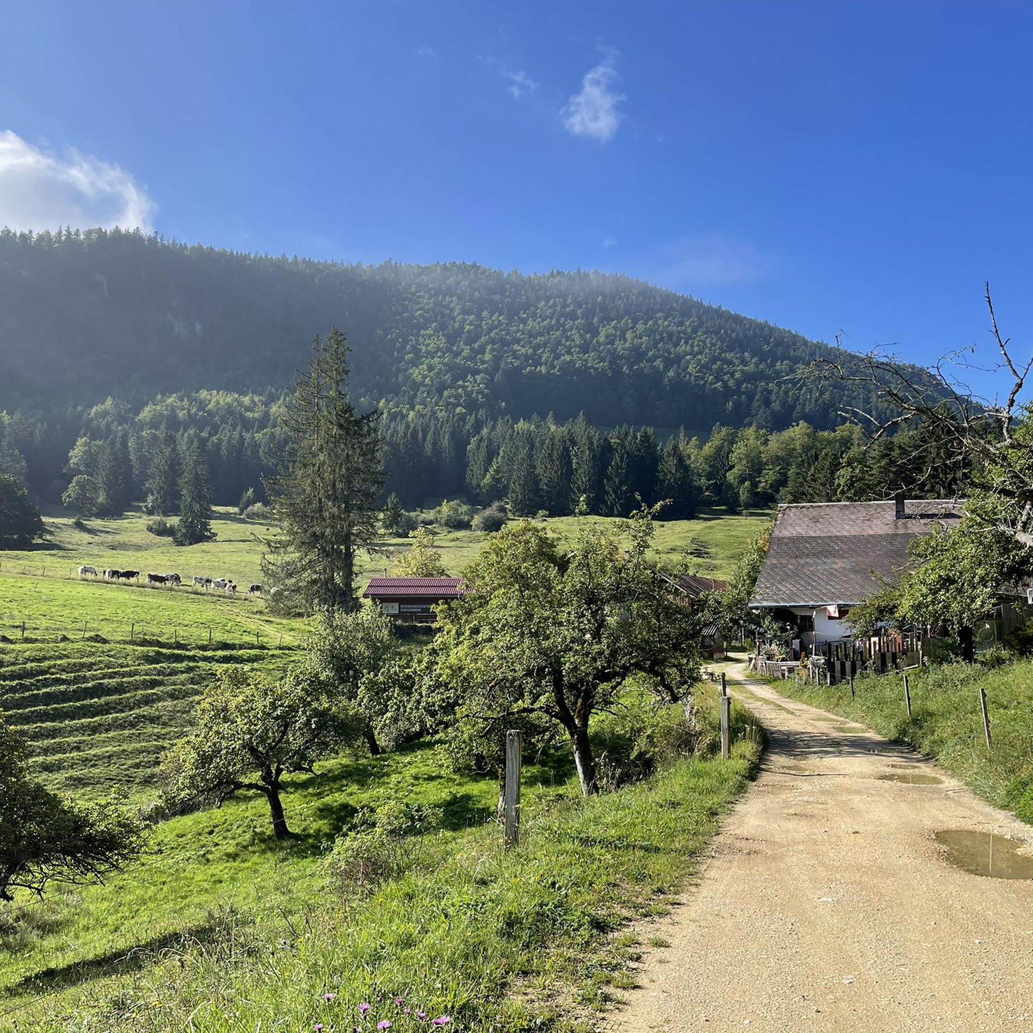
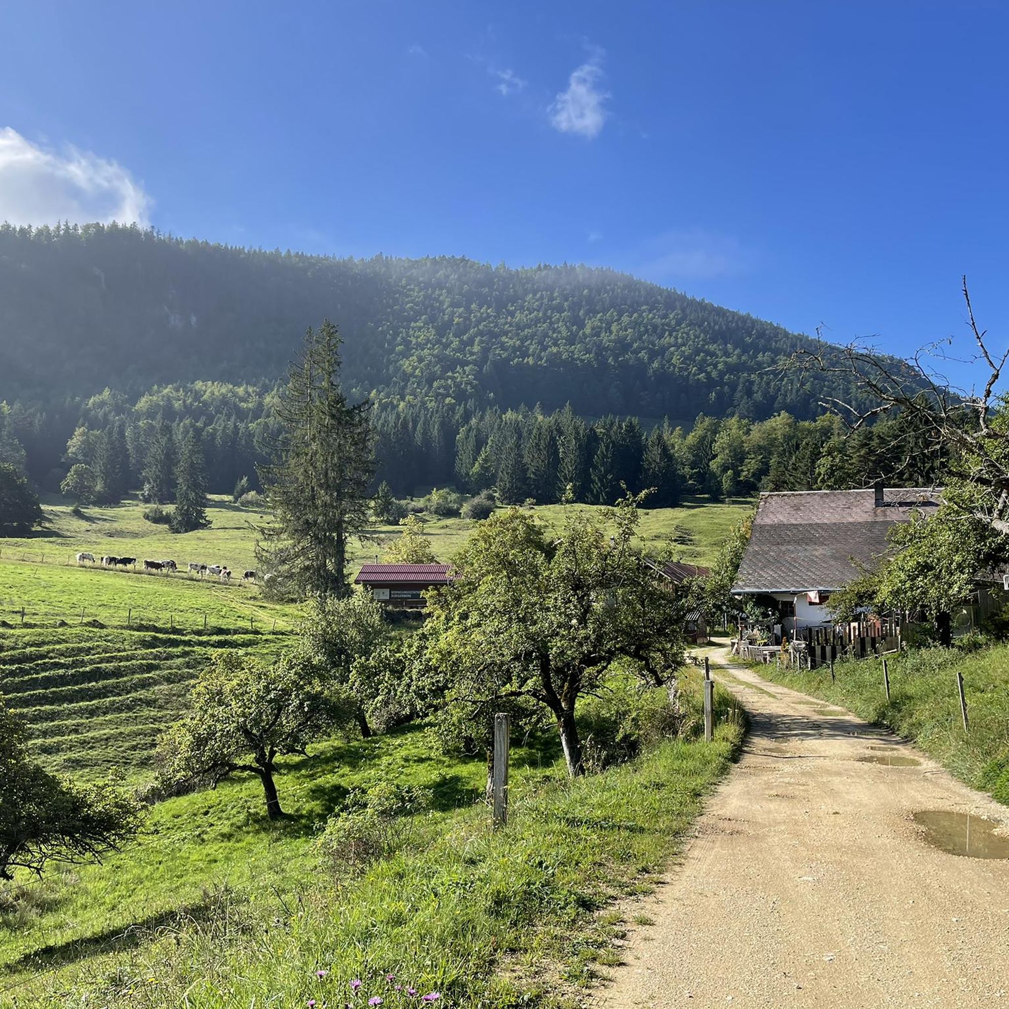
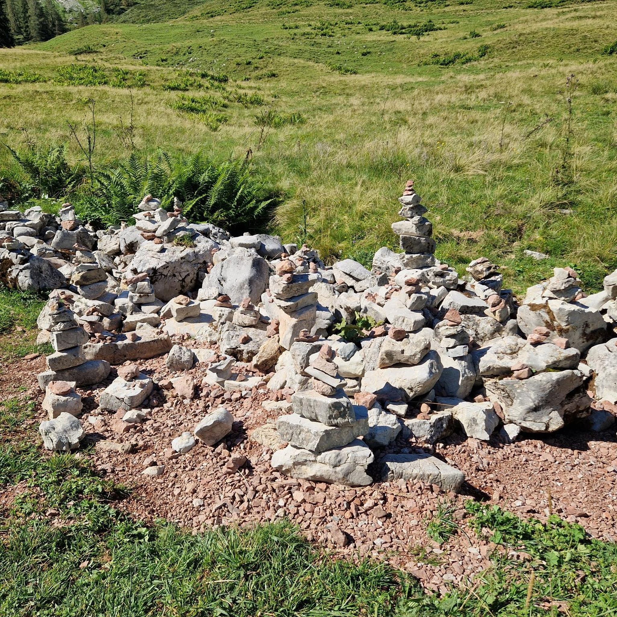
Tips from the Community

pretty here, very pretty
1
0

The Herrenloch is a cave with two entrances - a kind of tunnel - below the Balmfluechöpfli. It can be reached by trails both from the west ridge of the Balmfluechöpfli and as the end of the Hornpfad. The exit on the east side is reserved for the very experienced only; there has also been a fatal fall here. From the western entrance of the Herrenloch, you can also climb directly to the summit of the Balmfluechöpfli via trails.
0
0

I reached the Herrenloch via the Hornpfad, which should only be walked uphill due to the danger of rockfall.
1
2

A tiny cave that can be reached on the way to or from Balmfluechöpfli via a T5 route. The route is well marked and secured, but sturdy shoes and surefootedness are recommended.
2
0
A T5 route has been created from the Herrenloch exit to the summit of Balmfluechöpfli. The route is well-secured and marked, but you should still wear sturdy shoes and be sure-footed.
2
0

A very cool trail for experienced bikers! It starts off technical, then becomes flowy.
0
0

The Balmfluh castle ruins are clearly visible from the trail. It's worth getting off your bike for a moment and taking a look at the old walls.
1
0
Frequently Asked Questions
What is the general difficulty level of mountaineering routes around Gänsbrunnen?
Mountaineering routes in the Gänsbrunnen area are predominantly challenging. Out of 17 available routes, 13 are classified as difficult, with the remaining 4 being moderate. There are no easy routes, indicating the region is best suited for experienced mountaineers.
Are there any circular mountaineering routes in Gänsbrunnen?
Yes, many of the mountaineering routes around Gänsbrunnen are circular. For example, you can explore the Herrenloch Cave – View from Balmfluehchöpfli loop from Rüttenen, which offers both a cave and a prominent viewpoint. Another option is the View from Balmfluehchöpfli – Röti Summit (1,395 m) loop from Balm b. Günsberg, leading to expansive views from Röti Summit.
What kind of views can I expect on mountaineering routes near Gänsbrunnen?
The routes often lead to prominent summits and viewpoints offering panoramic vistas over the surrounding landscape. For instance, the Gitziflue Viewpoint – Hasenmatt Summit Cross loop from Oberdorf SO takes you to a summit cross with extensive views, and the Röti Summit (1,395 m) is known for its expansive outlooks.
Are there any family-friendly mountaineering options in the Gänsbrunnen area?
The mountaineering routes around Gänsbrunnen are generally challenging, with most classified as difficult and none as easy. This suggests they are primarily suited for experienced mountaineers rather than families with young children or those seeking very gentle walks.
What are some notable landmarks or attractions near the mountaineering routes?
The region offers several interesting historical sites and natural features. You can find various castles and ruins, such as the Balmfluh Castle Ruins or Waldegg Castle. There are also serene lakes like Bellacher Weiher and Huppenweiher, which can be explored in the wider area.
What do other mountaineers say about the routes in Gänsbrunnen?
The mountaineering routes in Gänsbrunnen are highly regarded by the komoot community, holding an average rating of 5.0 stars from over 12 reviews. Users often praise the challenging ascents, prominent summits, and scenic viewpoints that define the region's varied terrain.
What is the typical distance and elevation gain for mountaineering routes in Gänsbrunnen?
The routes vary in length and elevation. For example, the View from Balmfluehchöpfli – Herrenloch Cave loop from Rüttenen covers about 7.8 km with over 600 meters of elevation gain. Longer routes like the Gitziflue Viewpoint – Hasenmatt Summit Cross loop from Oberdorf SO extend to 14 km with nearly 900 meters of ascent.
Are there any routes that include caves or unique natural features?
Yes, the region features routes that incorporate interesting natural elements. The Herrenloch Cave – View from Balmfluehchöpfli loop from Rüttenen specifically highlights the Herrenloch Cave, offering a unique point of interest along the trail.
How many mountaineering routes are available in the Gänsbrunnen area?
There are 17 distinct mountaineering routes available around Gänsbrunnen, offering a variety of challenging ascents and scenic experiences for outdoor enthusiasts.
Are there any routes that feature climbing paths or more technical sections?
Yes, some routes include sections that are more akin to climbing paths. The View from Balmfluehchöpfli – Mättu Wändli Climbing Path loop from Rüttenen is an example of a difficult route that incorporates a dedicated climbing path, suitable for those seeking a more technical mountaineering experience.
What is the best time of year for mountaineering in Gänsbrunnen?
Given the challenging nature of the routes and significant elevation gains, late spring through early autumn typically offers the most favorable conditions for mountaineering in Gänsbrunnen. During these months, trails are generally free of snow and ice, and weather conditions are more stable, making ascents safer and more enjoyable.
Are there any hidden gem routes or less-trafficked trails in Gänsbrunnen?
While specific 'hidden gems' are often discovered through local knowledge, exploring some of the less-mentioned difficult routes might offer a more secluded experience. The region's overall rating of 5.0 stars suggests that even less popular trails maintain high quality, providing rewarding experiences away from the main crowds.
Most popular routes around Gänsbrunnen
Most popular attractions around Gänsbrunnen

Get inspired with the komoot mobile app


Explore more
Browse the best Mountain Hikes & Routes in other regions.
