The best mountain hikes around Wolfisberg
5.0
(7)
62
hikers
4
hikes
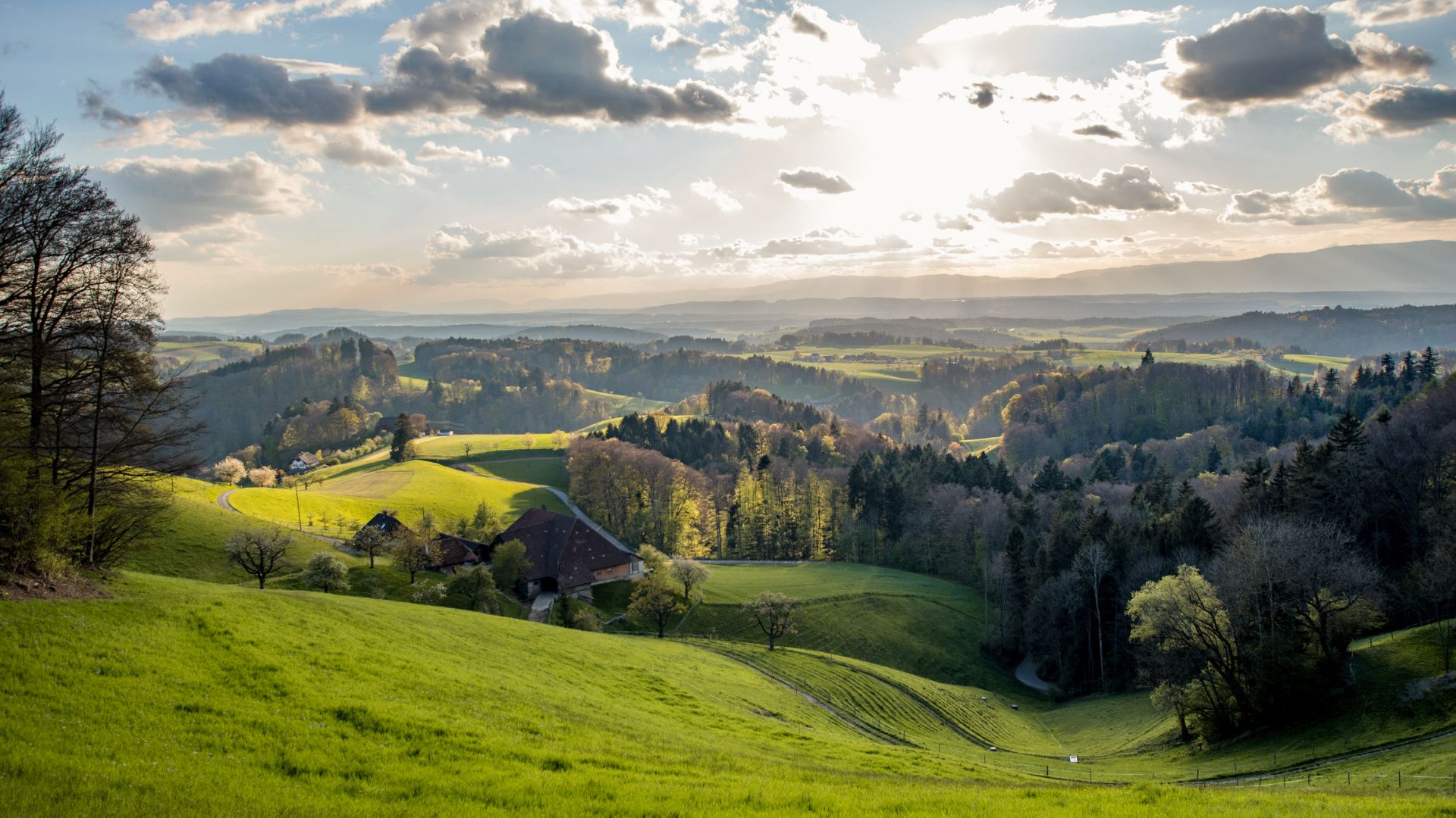
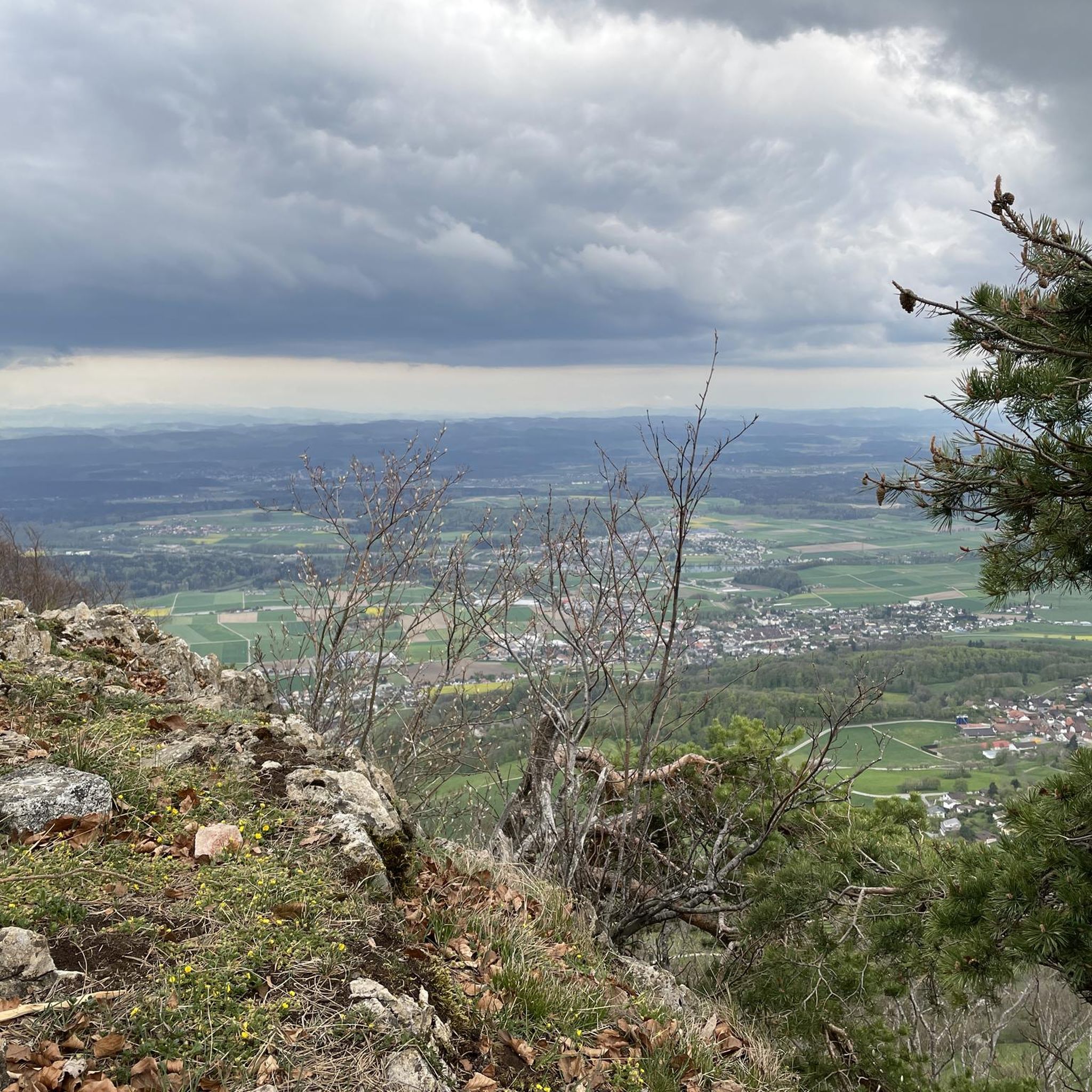
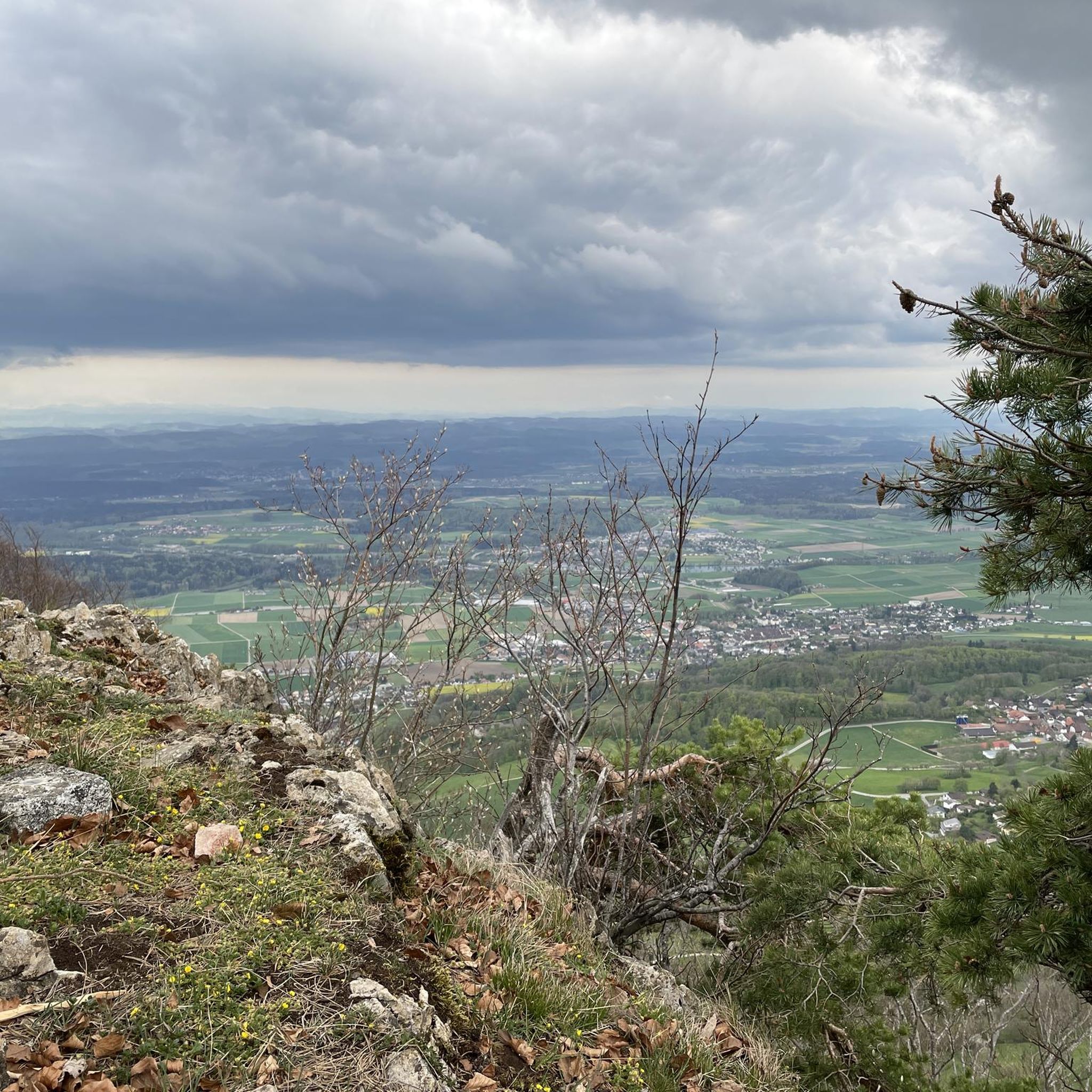
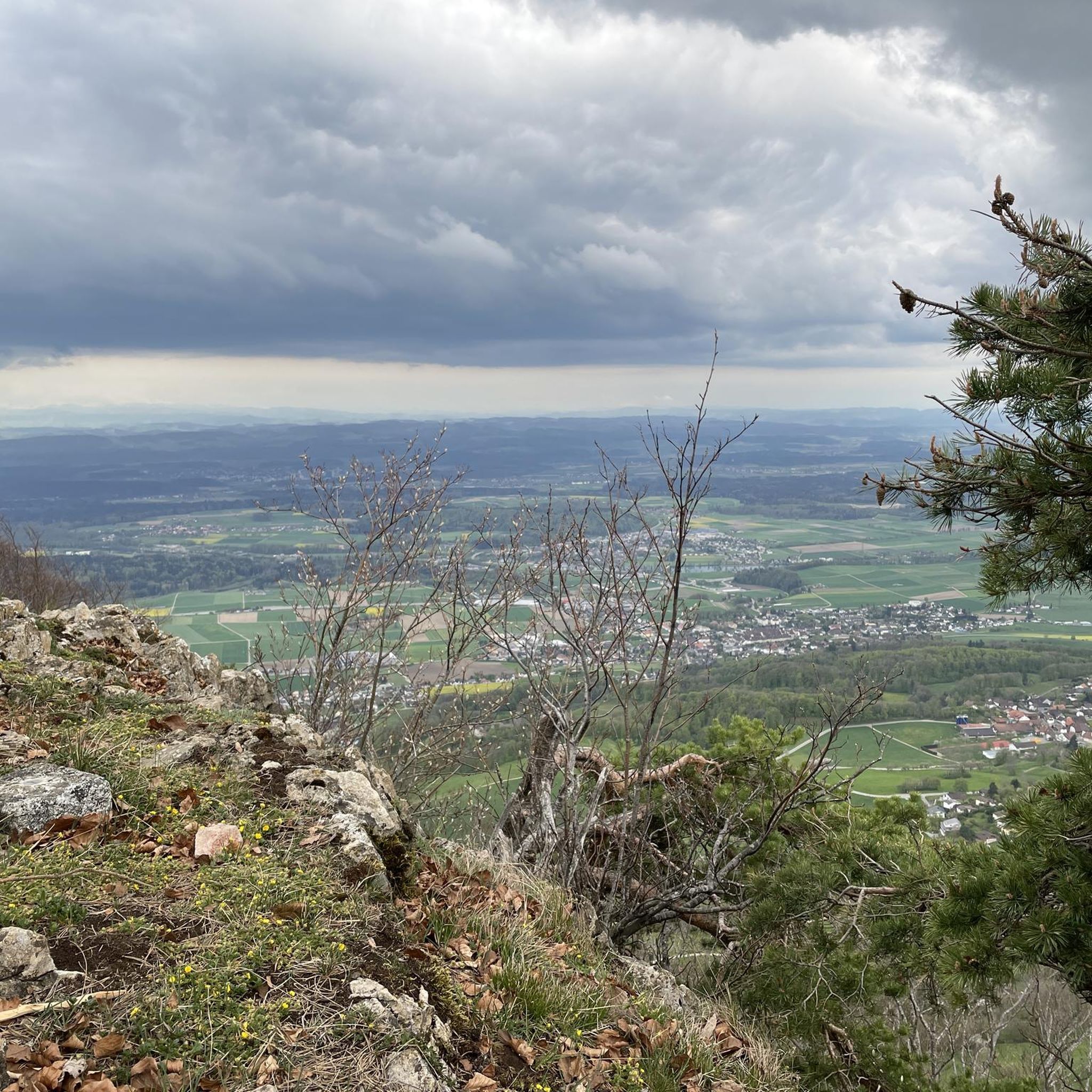
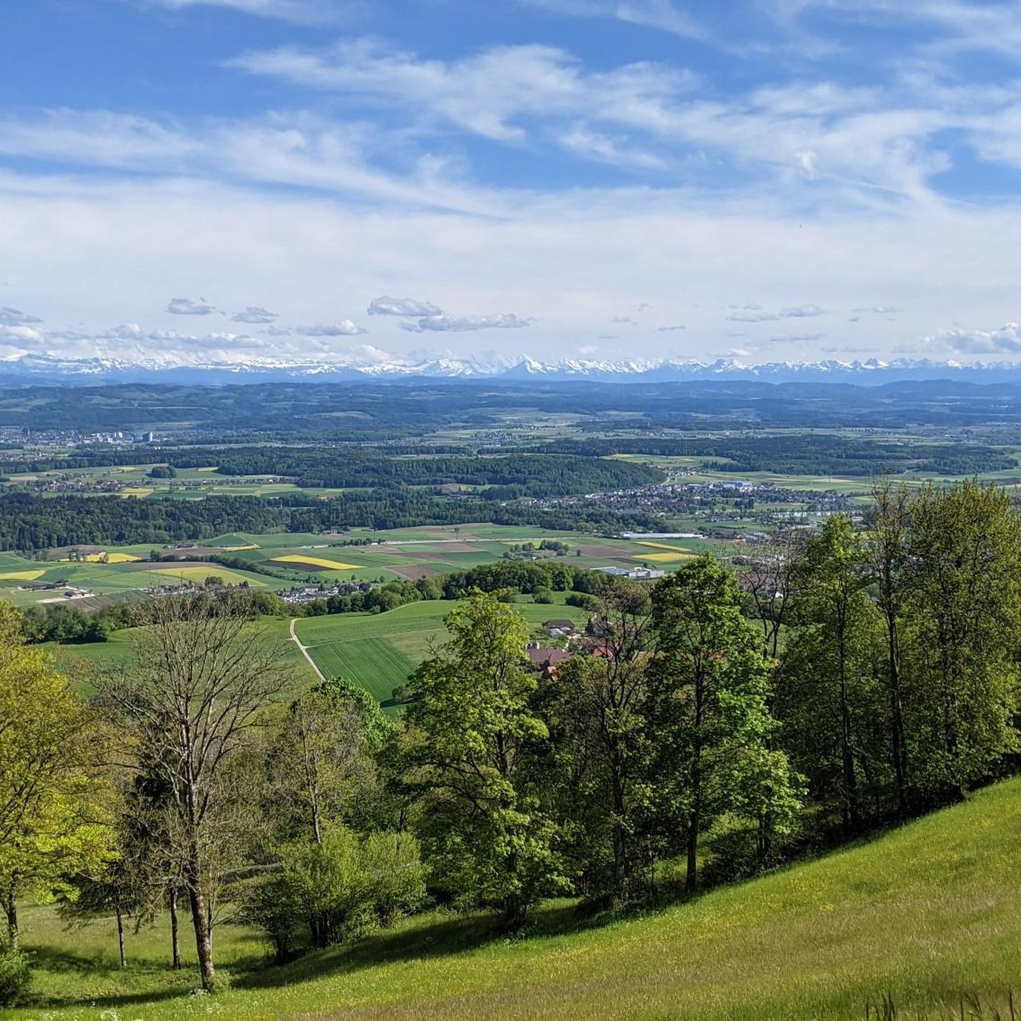
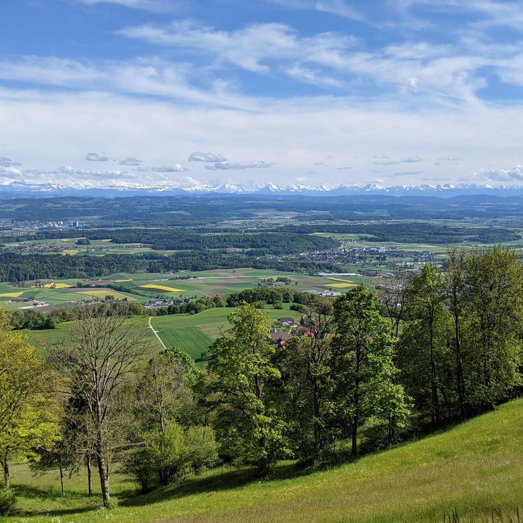
Mountaineering routes around Wolfisberg are characterized by varied elevations, offering challenging ascents to prominent viewpoints and summits. The region features a landscape with notable natural formations like the Herrenloch Cave and historical sites such as the Ruins of Neu-Falkenstein Castle. These routes often traverse diverse terrain, providing panoramic vistas across the surrounding area.
Best mountaineering routes around Wolfisberg
- The most popular mountaineering route is Herrenloch Cave – View from Balmfluehchöpfli loop from Rüttenen, a 4.7 miles (7.6 km) trail…
Last updated: September 28, 2026
5.0
(3)
23
hikers
7.43km
03:28
620m
620m
Hard mountaineering route. Good fitness required. Sure-footedness, sturdy shoes and alpine experience required.
5.0
(2)
12
hikers
4.88km
03:13
550m
550m
Hard mountaineering route. Good fitness required. Sure-footedness, sturdy shoes and alpine experience required.

5.0
(1)
8
hikers
7.86km
02:48
370m
370m
Hard mountaineering route. Good fitness required. Sure-footedness, sturdy shoes and alpine experience required.
2
hikers
Hard mountaineering route. Very good fitness required. Sure-footedness, sturdy shoes and alpine experience required.
2
hikers
Moderate mountaineering route. Good fitness required. Mostly accessible paths. Sure-footedness required.
Our route recommendations are based on thousands of hikes, rides, and runs completed by other people on komoot.
Start today with a free account
Your next adventure awaits.

Other adventures around Wolfisberg

Tips from the Community

pretty here, very pretty
1
0

The Herrenloch is a cave with two entrances - a kind of tunnel - below the Balmfluechöpfli. It can be reached by trails both from the west ridge of the Balmfluechöpfli and as the end of the Hornpfad. The exit on the east side is reserved for the very experienced only; there has also been a fatal fall here. From the western entrance of the Herrenloch, you can also climb directly to the summit of the Balmfluechöpfli via trails.
0
0

I reached the Herrenloch via the Hornpfad, which should only be walked uphill due to the danger of rockfall.
1
2

A tiny cave that can be reached on the way to or from Balmfluechöpfli via a T5 route. The route is well marked and secured, but sturdy shoes and surefootedness are recommended.
2
0
A T5 route has been created from the Herrenloch exit to the summit of Balmfluechöpfli. The route is well-secured and marked, but you should still wear sturdy shoes and be sure-footed.
2
0

A very cool trail for experienced bikers! It starts off technical, then becomes flowy.
0
0

Ideal resting place with fire pit: carry barbecue food in your backpack!
1
0

The Balmfluh castle ruins are clearly visible from the trail. It's worth getting off your bike for a moment and taking a look at the old walls.
1
0
Frequently Asked Questions
What kind of mountaineering routes can I expect around Wolfisberg?
The mountaineering routes around Wolfisberg are primarily challenging, featuring varied elevations with significant ascents to prominent viewpoints and summits. The terrain is diverse, offering panoramic vistas across the surrounding area.
Are there any easy or beginner-friendly mountaineering routes in Wolfisberg?
The routes in Wolfisberg are generally considered difficult, catering to experienced mountaineers. There are no routes classified as easy or moderate in the immediate area for mountaineering specifically.
What are some notable natural features or landmarks to see on these routes?
You can explore natural formations like the Herrenloch Cave, which is accessible on routes such as the Herrenloch Cave – View from Balmfluehchöpfli loop from Rüttenen. Historical sites like the Ruins of Neu-Falkenstein Castle are also part of the landscape, featured on tours like the Roggenflue Viewpoint – Ruins of Neu-Falkenstein Castle loop from Thalbrücke.
Are there any circular mountaineering routes available?
Yes, many of the mountaineering routes around Wolfisberg are circular. For example, you can enjoy the View from Balmfluehchöpfli – Röti Summit (1,395 m) loop from Balm b. Günsberg, which offers a challenging ascent to the Röti Summit.
What is the best time of year for mountaineering in Wolfisberg?
While specific seasonal recommendations aren't provided, mountaineering routes with significant elevation changes are generally best enjoyed in late spring, summer, and early autumn when weather conditions are more stable and trails are clear of snow and ice. Always check local weather forecasts before heading out.
Are the mountaineering routes around Wolfisberg suitable for families?
Given that all listed mountaineering routes are classified as difficult, they may not be suitable for all families, especially those with young children or beginners. These routes typically involve challenging ascents and require a good level of fitness and experience.
Can I bring my dog on the mountaineering trails in Wolfisberg?
The guide does not specify dog-friendly policies for individual routes. However, generally, dogs are allowed on trails in this region, but it's always advisable to keep them on a leash, especially in areas with wildlife or livestock, and to check local regulations for specific paths or protected areas.
Are there places to eat or rest along the mountaineering routes?
Yes, there are huts and mountain restaurants in the vicinity. You might find places like the Hofbergli Mountain Restaurant or Toni's Hut, which can offer refreshments and a place to rest.
What do other mountaineers say about the routes in Wolfisberg?
The mountaineering routes in Wolfisberg are highly rated by the komoot community, with an average score of 5.0 stars from over 7 reviews. Users often praise the challenging ascents, prominent viewpoints, and diverse terrain that define the region's trails.
How many mountaineering routes are there in Wolfisberg?
There are over 4 mountaineering routes detailed in this guide for the Wolfisberg area, all of which are classified as difficult.
Are there any viewpoints offering panoramic vistas?
Yes, the region is known for its prominent viewpoints. Routes like the View from Balmfluehchöpfli – Herrenloch Cave loop from Balm b. Günsberg specifically highlight panoramic views from Balmfluehchöpfli.
Is there public transport access to the starting points of these routes?
The guide does not provide specific public transport details for each starting point. It is recommended to check local public transport schedules and connections to towns like Rüttenen or Balm b. Günsberg, which are common starting points for these routes.
Where can I find parking for the mountaineering trails?
While specific parking information isn't detailed for each route, starting points like Rüttenen and Balm b. Günsberg typically offer parking facilities for hikers. It's advisable to research parking options for your chosen trailhead in advance.
Most popular routes around Wolfisberg
Most popular attractions around Wolfisberg

Get inspired with the komoot mobile app


Explore more
Browse the best Mountain Hikes & Routes in other regions.
