The best mountain hikes around Männedorf
5.0
(2)
14
hikers
3
hikes
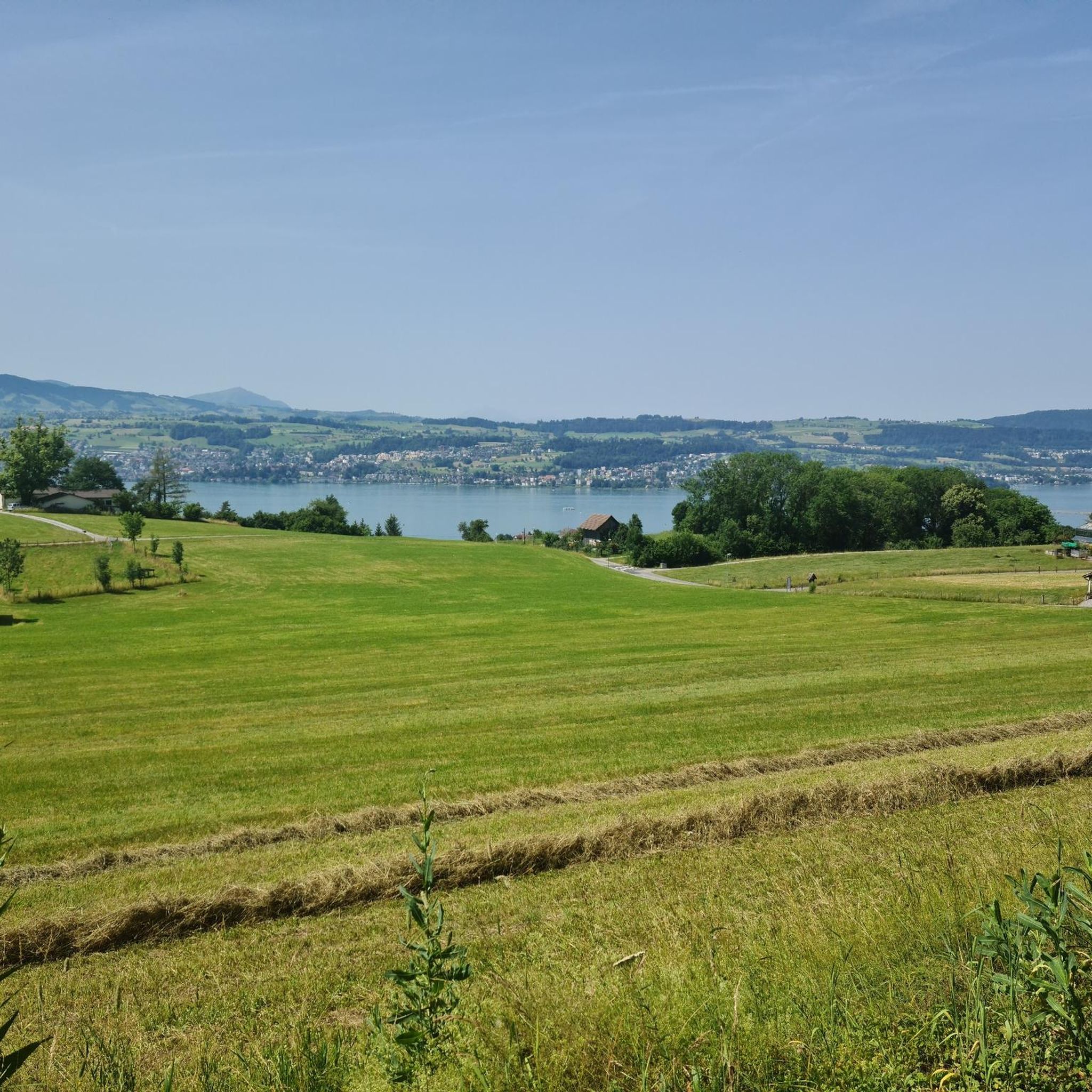
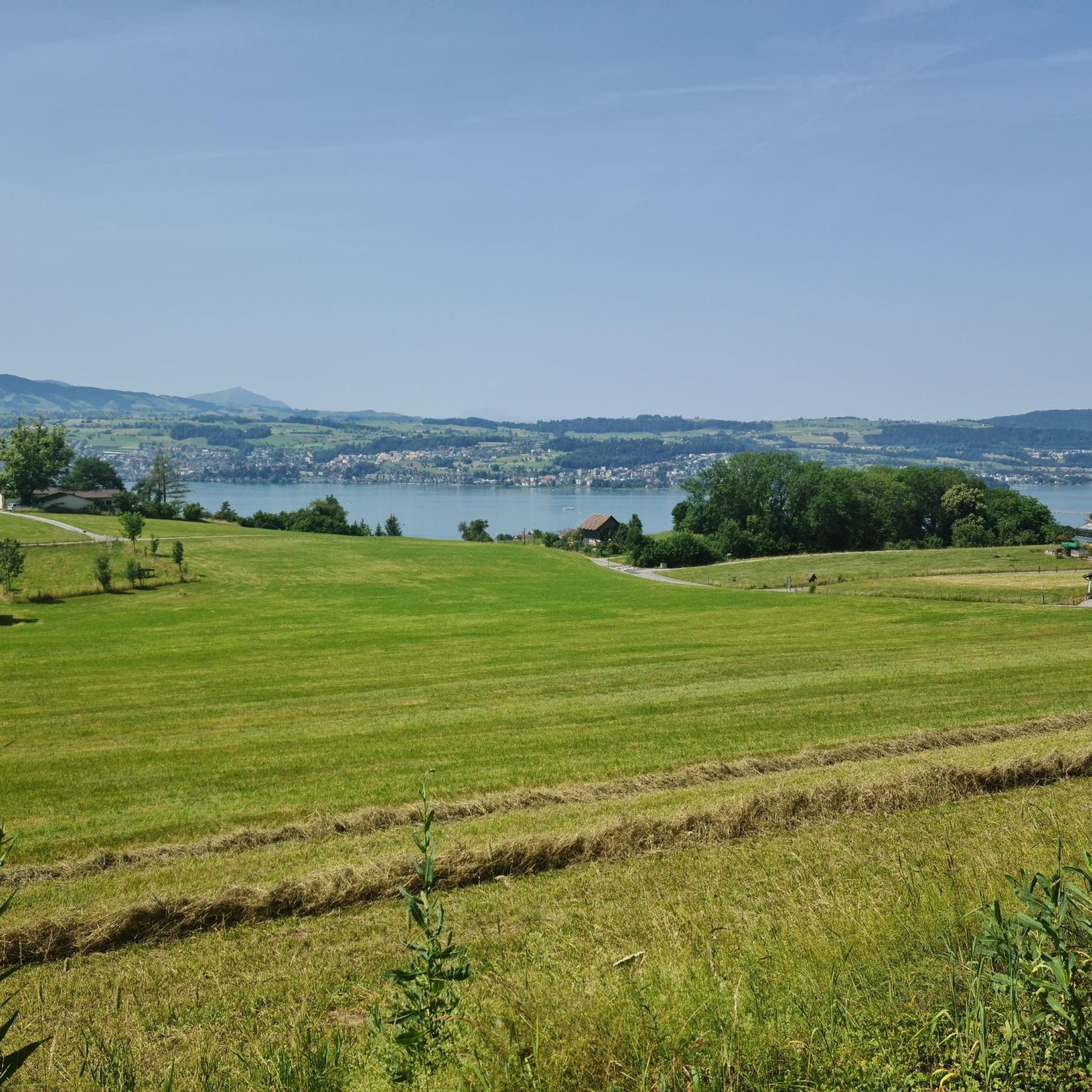
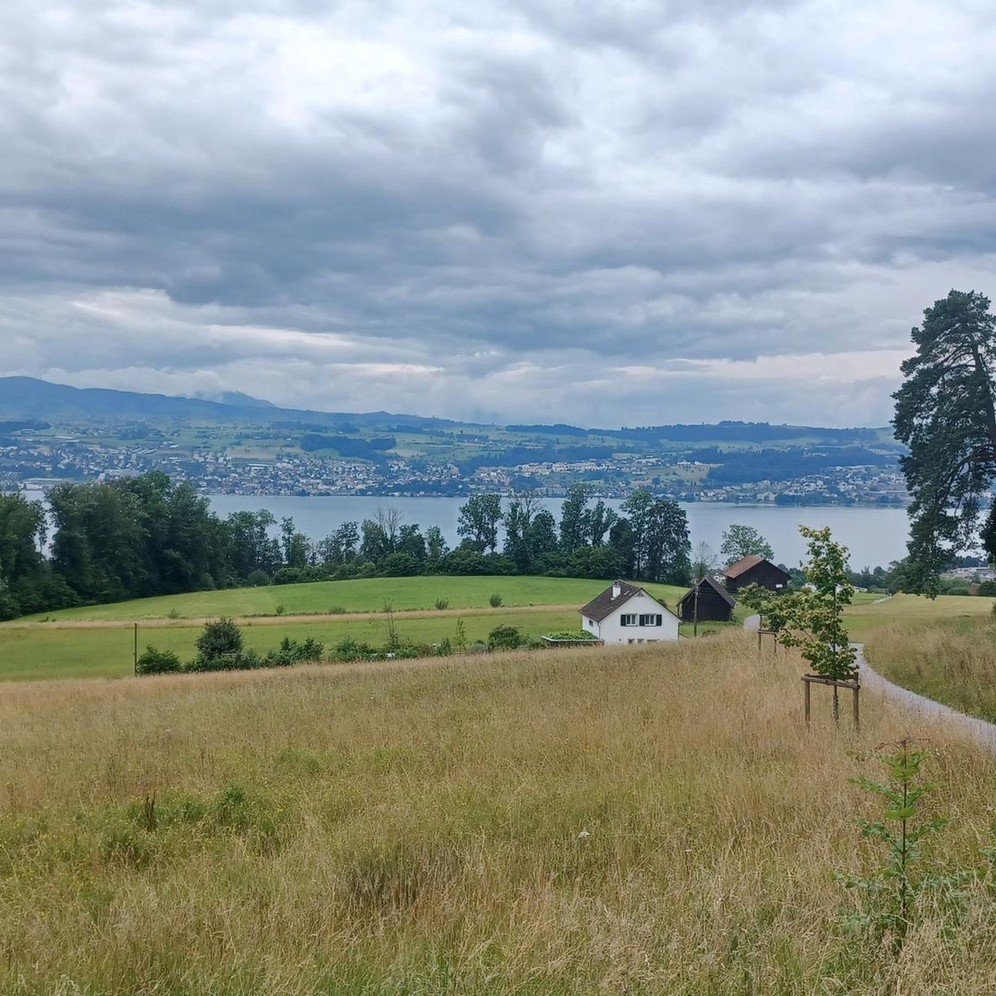
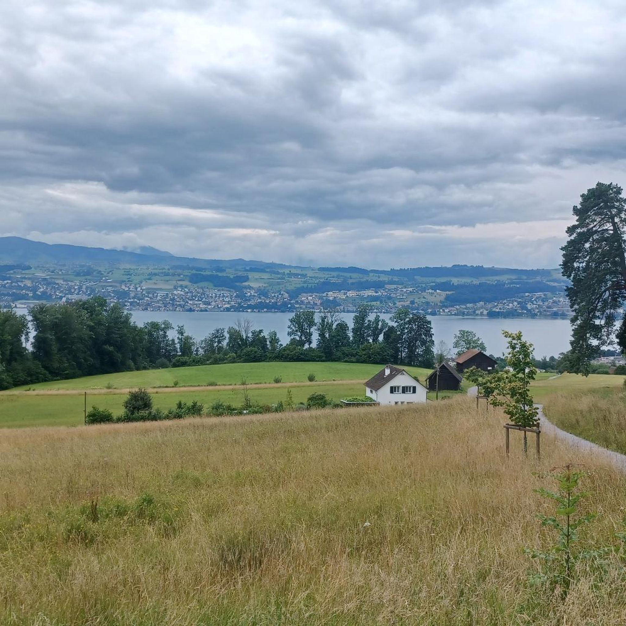
Mountaineering routes near Männedorf traverse a landscape characterized by its position on Lake Zurich, offering elevated views and access to varied terrain. The region features glacially shaped areas like the Sihltobel, with its fluvial cuts, rocky walls, and forested sections. Nearby Pfannenstiel provides elevated areas and panoramic vistas, while the routes themselves often lead through hills and woodlands with significant elevation gains.
Best mountaineering routes around Männedorf
- The most popular mountaineering route is Etzelpass loop from Pfäffikon SZ, a…
Last updated: May 11, 2026
6
hikers
8.33km
03:11
580m
580m
Moderate mountaineering route. Good fitness required. Mostly accessible paths. Sure-footedness required.
3
hikers
Moderate mountaineering route. Good fitness required. Easily-accessible paths. Suitable for all skill levels.

Sign up for free
2
hikers
Moderate mountaineering route. Good fitness required. Easily-accessible paths. Suitable for all skill levels.
5.0
(2)
3
hikers
9.01km
02:59
400m
400m
Moderate mountaineering route. Good fitness required. Easily-accessible paths. Suitable for all skill levels.
Our route recommendations are based on thousands of hikes, rides, and runs completed by other people on komoot.
Start today with a free account
Your next adventure awaits.
Login or Signup

Tips from the Community

Beautiful ridge for hiking & biking. Always views on both sides.
0
0

Wonderful place for a break
0
0
Attention: Cycle route 94 is closed here due to construction work from 27.04.2026 - 02.11.2026 (at least partial sections) and is diverted from Sihlwald station to Alter Bahnhof Sihlbrugg via Sihltalstrasse (signposted on site). See Schweiz Mobil info.
0
0

Very nice stop, good restaurant, charging facilities for e-bikers.
0
0

The section between Dreiländerstein and Langenegg is closed between April and July to protect the capercaillie; see https://schwyz-tourismus.ch/tour/wildspitz-hoehronen for details.
0
0

The restaurant reopens in 2025. Rather expensive.
1
0

Beautiful ride along the Sihl, quiet
0
1

Frequently Asked Questions
What kind of terrain can I expect on mountaineering routes near Männedorf?
The routes around Männedorf traverse a diverse landscape, characterized by forested hills, river valleys, and elevated viewpoints overlooking Lake Zurich. You'll encounter glacially shaped areas like the Sihltobel, with its fluvial cuts and rocky walls, as well as woodlands and significant elevation gains. While Männedorf itself is more geared towards hiking, these routes offer a taste of hillwalking with alpine characteristics.
Are there any circular mountaineering routes available?
Yes, several routes are designed as loops. For example, you can explore the Etzelpass loop from Pfäffikon SZ, which is about 8.1 km long and features ascents to the Etzelpass. Another option is the Etzel loop from Höfe, a shorter 5.9 km trail through hilly terrain. The Sihlwald Bürglen Descent – Sihl River Path in the Sihlwald loop from Sihlwald also offers a longer circular experience through the forested Sihlwald.
What are the difficulty levels of mountaineering routes in this area?
All the mountaineering routes listed for the Männedorf area are rated as moderate. They are suitable for those with a good level of fitness and some experience with hillwalking, featuring notable elevation gains and varied terrain.
Are there any interesting natural features or landmarks to see along the routes?
Absolutely! The region is rich in natural beauty and historical sites. You can discover the dramatic Sihlsprung within the Sihltobel, a fluvial cut with impressive rocky walls. Other natural highlights include the Natural Tunnels Along the Sihl and the serene Sternen Pond. For panoramic views, consider routes that pass near the Pfannenstiel or the Observation Tower at the Aabach.
What do other mountaineers say about the routes around Männedorf?
The mountaineering routes in this area are highly regarded by the komoot community, with an average rating of 5.0 stars. Users often praise the varied terrain, the beautiful forested sections, and the rewarding views, especially those overlooking Lake Zurich.
Can I find routes with significant elevation gain?
Yes, the routes around Männedorf are known for their elevation gain, offering a good workout for mountaineers. For instance, the Etzelpass loop from Pfäffikon SZ includes over 570 meters of ascent, while the Etzel loop from Höfe features over 400 meters of climbing.
Are there any historical sites or castles near the mountaineering trails?
Yes, the region offers a glimpse into history. You can find several castles and historical sites nearby. Notable examples include the Bubikon Commandery, the Friedberg Ruins, and the Altwädenswil Castle Ruins. Some routes might also offer views of Rapperswil's Old Town and Castle.
What is the longest mountaineering route available in the immediate Männedorf area?
The longest route in this selection is the Sihlwald Bürglen Descent – Sihl River Path in the Sihlwald loop from Sihlwald, covering approximately 13.2 kilometers. This route offers an extended exploration of the forested Sihlwald and follows the Sihl River.
How many mountaineering routes are there to explore directly around Männedorf?
There are at least four distinct mountaineering routes available for exploration directly around Männedorf, all offering moderate challenges and unique scenic experiences.
Is there a route that takes me to the 'Three Borders Stone'?
Yes, the Chaltenboden Trail – Three Borders Stone SZ/ZG/ZH loop from Schindellegi is a moderate 9.2 km route that will lead you to the significant Three Borders Stone, marking the intersection of the cantons of Schwyz, Zug, and Zurich.
What kind of natural landscapes define the mountaineering experience near Männedorf?
The mountaineering experience near Männedorf is defined by its position on Lake Zurich, offering elevated views and access to varied terrain. You'll find glacially shaped areas, such as the Sihltobel with its dramatic fluvial cuts, as well as forested hills and woodlands. The routes often provide panoramic vistas, particularly from elevated areas like Pfannenstiel.
Most popular routes around Männedorf
Most popular attractions around Männedorf

Get inspired with the komoot mobile app


Explore more
Browse the best Mountain Hikes & Routes in other regions.
