The best mountain hikes around Turbenthal
4.8
(3)
18
hikers
6
hikes
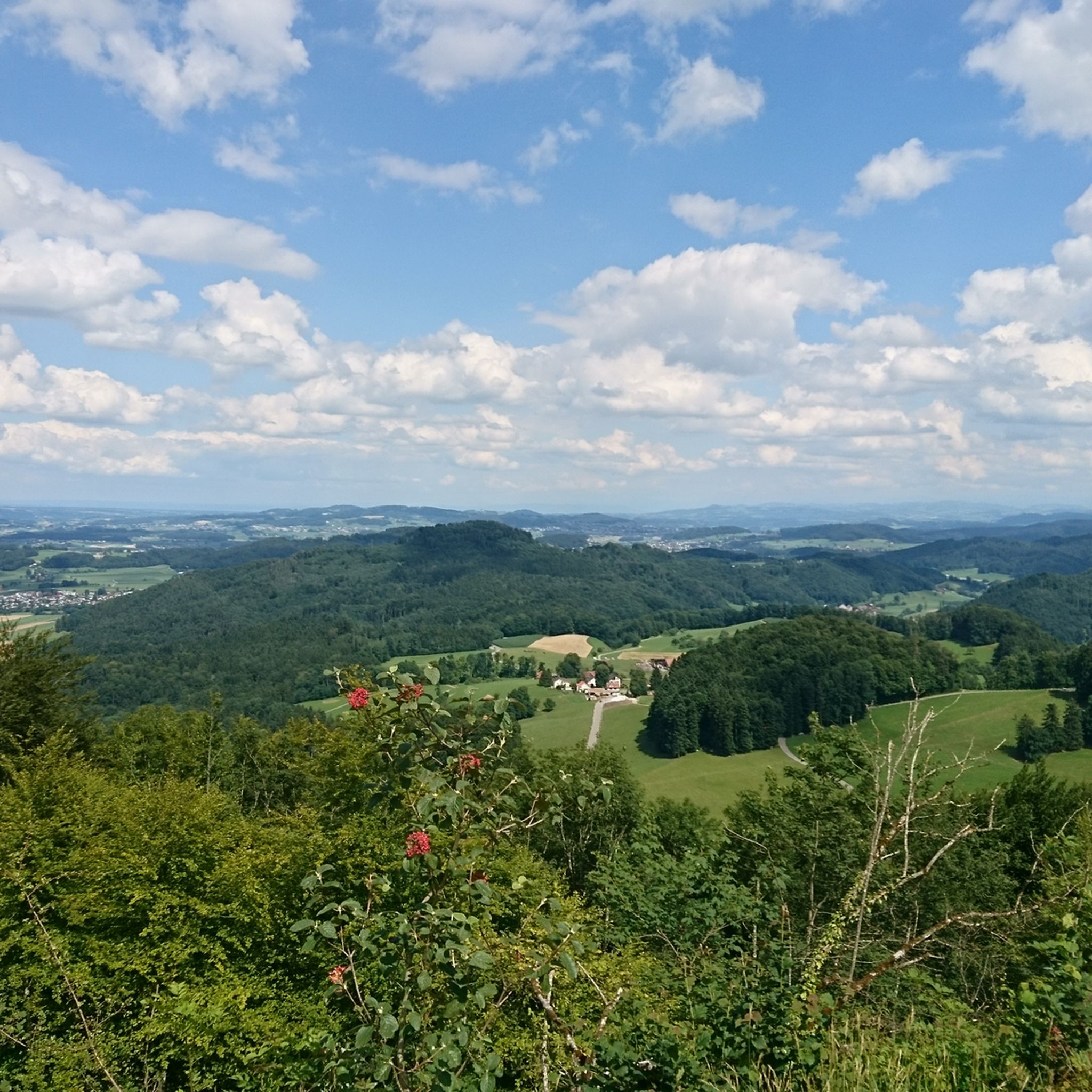
Mountaineering routes around Turbenthal are situated within the varied landscape of the Zurich Oberland, characterized by rolling hills, dense forests, and open meadows. The region features moderate elevation changes, with routes often traversing through wooded areas and offering views of the surrounding countryside. This area provides a mix of terrain suitable for mountaineering, from established paths to more rugged sections.
Best mountaineering routes around Turbenthal
- The most popular mountaineering route is Mountaineering loop from Steg, a 9.1 miles (14.7…
Last updated: July 19, 2026
4.5
(2)
11
hikers
7.00km
02:37
410m
410m
Moderate mountaineering route. Good fitness required. Mostly accessible paths. Sure-footedness required.
2
hikers
14.9km
04:42
500m
500m
Moderate mountaineering route. Good fitness required. Mostly accessible paths. Sure-footedness required.

Sign up for free
2
hikers
10.1km
03:02
320m
320m
Moderate mountaineering route. Good fitness required. Easily-accessible paths. Suitable for all skill levels.
5.0
(1)
3
hikers
22.5km
07:18
930m
930m
Hard mountaineering route. Very good fitness required. Mostly accessible paths. Sure-footedness required.
10.0km
03:13
410m
410m
Moderate mountaineering route. Good fitness required. Mostly accessible paths. Sure-footedness required.
Our route recommendations are based on thousands of hikes, rides, and runs completed by other people on komoot.
Start today with a free account
Your next adventure awaits.
Login or Signup

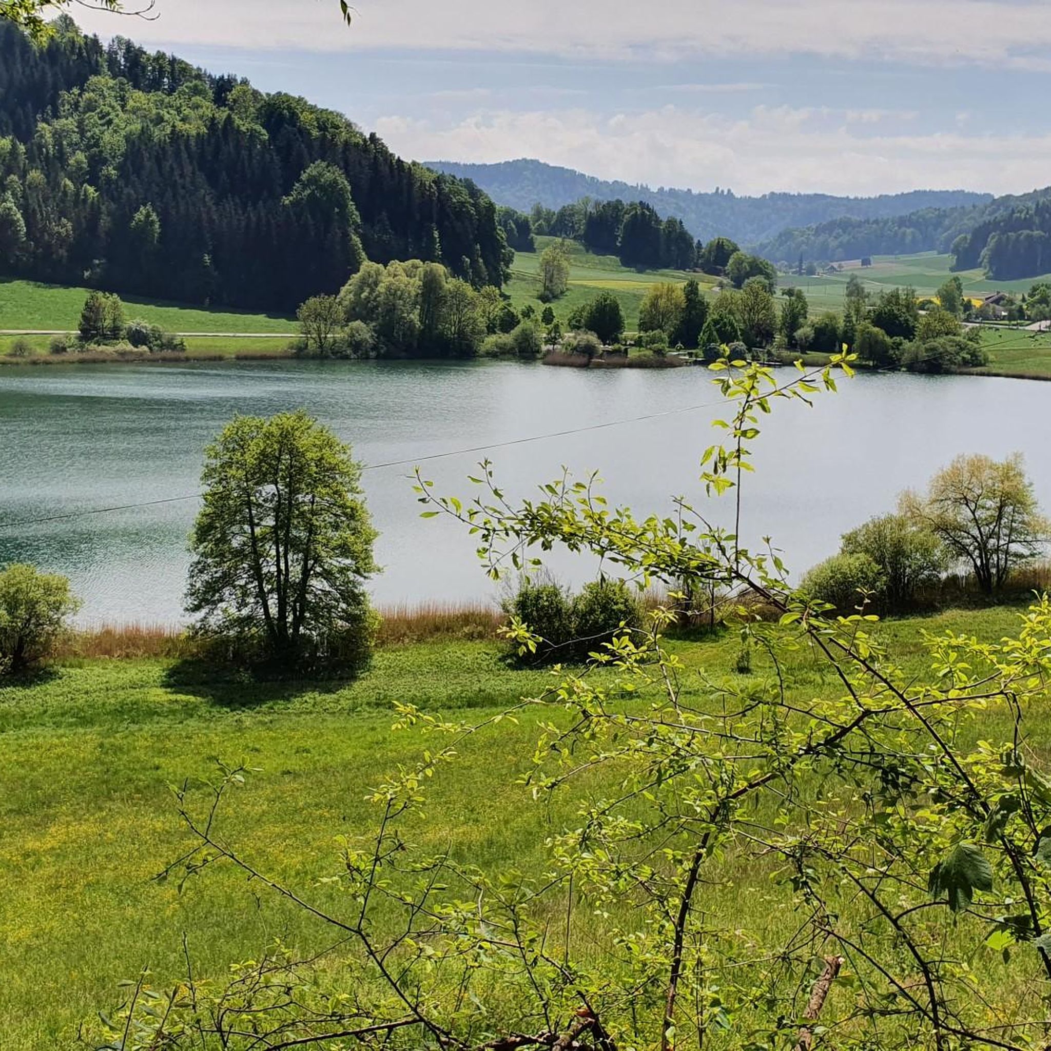
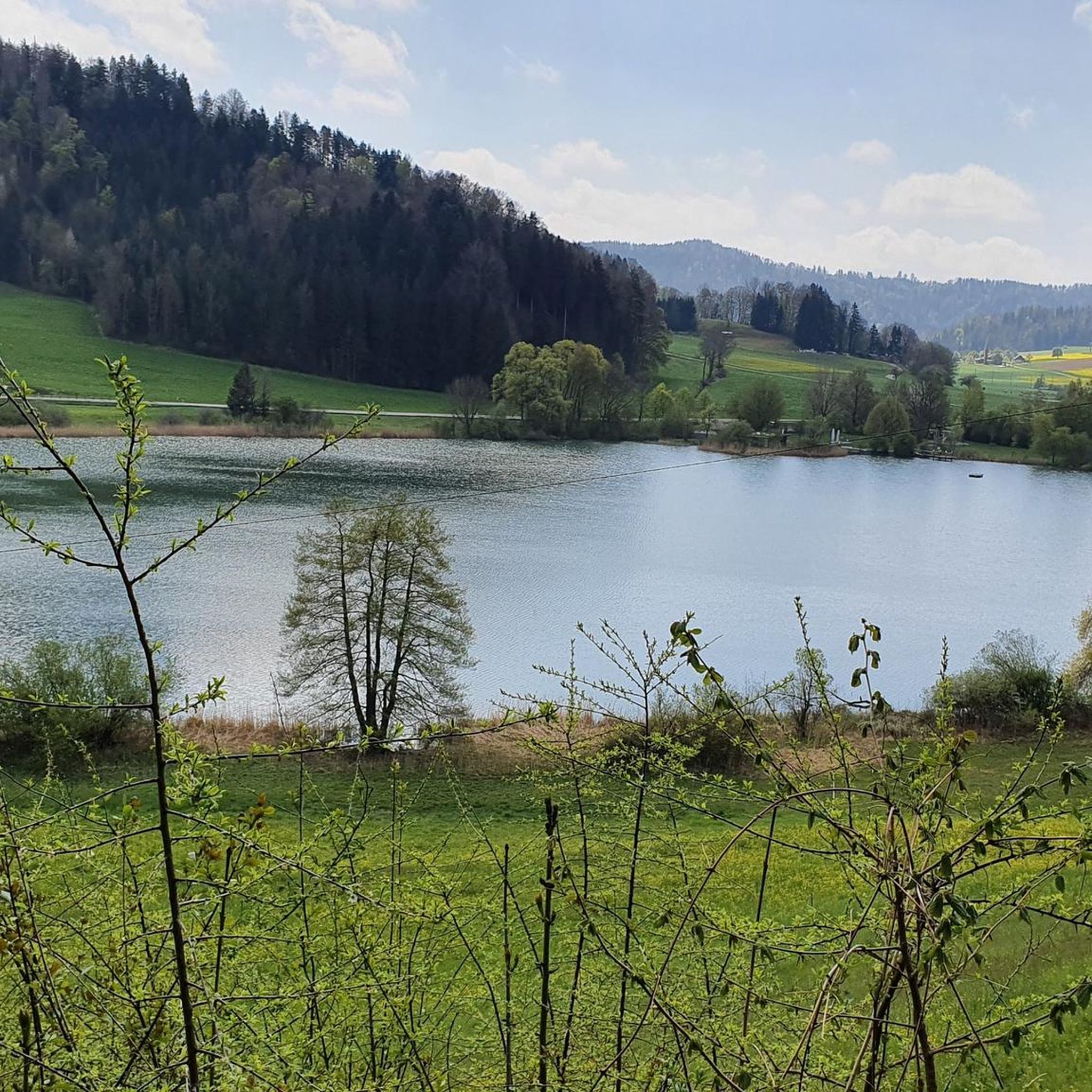
Other adventures around Turbenthal

Tips from the Community

pretty here, very pretty
0
0
Frequently Asked Questions
What is the general difficulty level of mountaineering routes in Turbenthal?
The mountaineering routes around Turbenthal are predominantly moderate. Out of the 7 routes available, 6 are classified as moderate, offering a good balance of challenge and accessibility. There is also one difficult route for those seeking a more strenuous experience.
Are there any circular mountaineering routes in Turbenthal?
Yes, many of the mountaineering routes in Turbenthal are designed as loops, allowing you to start and finish in the same location. For example, you can explore the Hörnli loop from Steg, which offers a scenic experience through forested hills.
What interesting sights can I see near the mountaineering routes in Turbenthal?
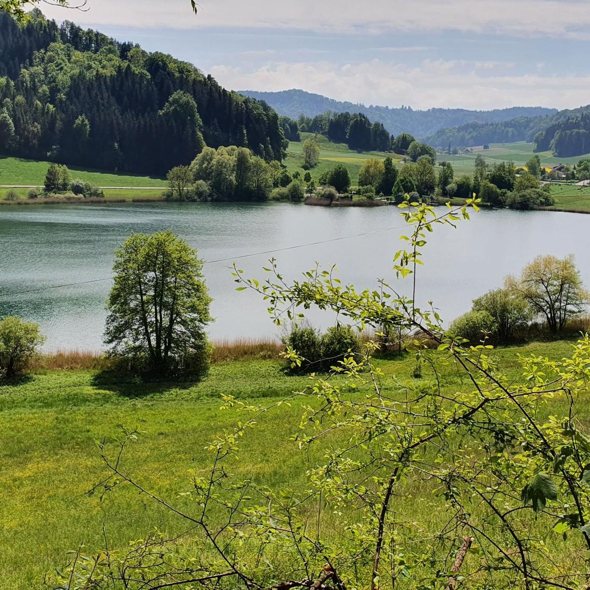
Beyond the trails, the region offers several points of interest. You can find beautiful natural spots like Lake Bichel or Tänikon Pond. For those interested in cycling, there are also various bike parks and trails nearby, such as the Chranzeberg Singletrail.
What do other mountaineers enjoy about the routes in Turbenthal?
The mountaineering routes in Turbenthal are highly regarded by the komoot community, with an average rating of 4.2 stars from over 4 reviews. More than 35 mountaineers have explored the area, often praising the varied terrain, from rolling hills and dense forests to open meadows, which offers a diverse and engaging experience.
Are the mountaineering routes around Turbenthal suitable for families?
While most routes are moderate, some shorter moderate loops might be suitable for families with older children who are accustomed to hiking. The Hörnli loop from Steg, at 4.3 miles, could be a good option for a family outing, offering engaging terrain without being overly long.
Can I bring my dog on the mountaineering trails in Turbenthal?
Generally, dogs are welcome on most hiking trails in the Turbenthal region. However, it's always advisable to keep your dog on a leash, especially in forested areas or near livestock, and to carry water for them. Please ensure you clean up after your pet to maintain the natural beauty of the trails.
What is the best time of year for mountaineering in Turbenthal?
The best time for mountaineering in Turbenthal is typically from spring through autumn, when the weather is mild and the trails are clear. During winter, some routes may be covered in snow, requiring appropriate gear like snowshoes or winter hiking equipment. Always check local weather conditions before heading out.
Are there any less-known or 'hidden gem' mountaineering routes in Turbenthal?
For a route that might offer a quieter experience, consider the Hagheerenloch Cave – Höchstock Settlement loop from Bauma. This moderate 6.1-mile trail takes you through diverse landscapes and offers a chance to explore natural and historical points of interest.
Where can I find parking for mountaineering trails in Turbenthal?
Many of the routes start from villages like Steg or Bauma, where public parking facilities are typically available. It's recommended to check local signage upon arrival for specific parking regulations and fees, or to use public transport where possible.
How accessible are the mountaineering routes in Turbenthal by public transport?
The starting points for many routes, such as Steg and Bauma, are generally well-connected by public transport within the Zurich Oberland region. You can often reach these villages by train or bus, making it convenient to access the trails without a car.
Are there places to stop for refreshments along the mountaineering routes?
While specific refreshment stops directly on every trail are not guaranteed, the routes often pass through or near villages like Steg and Bauma, where you can find local cafes, restaurants, or shops to refuel and relax. It's always a good idea to carry sufficient water and snacks.
What kind of wildlife might I encounter on the trails in Turbenthal?
The diverse landscape of Turbenthal, with its forests and meadows, is home to various wildlife. You might spot common forest animals like deer, foxes, and various bird species. Keep an eye out for local flora and fauna, especially in quieter sections of the trails.
Most popular routes around Turbenthal
Most popular attractions around Turbenthal

Get inspired with the komoot mobile app


Explore more
Browse the best Mountain Hikes & Routes in other regions.
