The best road cycling routes in Breisete Naturreservat
3.7
(4)
194
riders
6
rides
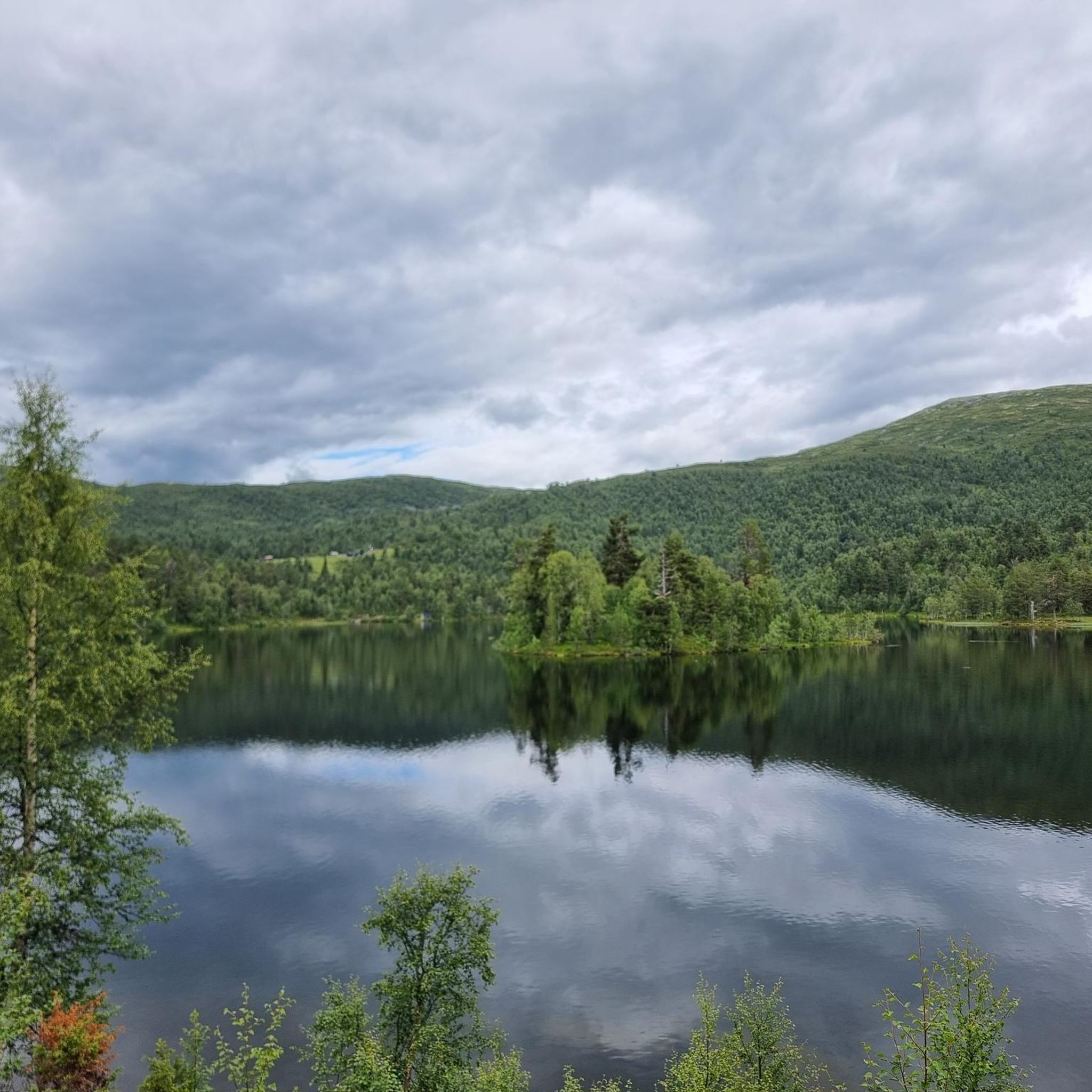
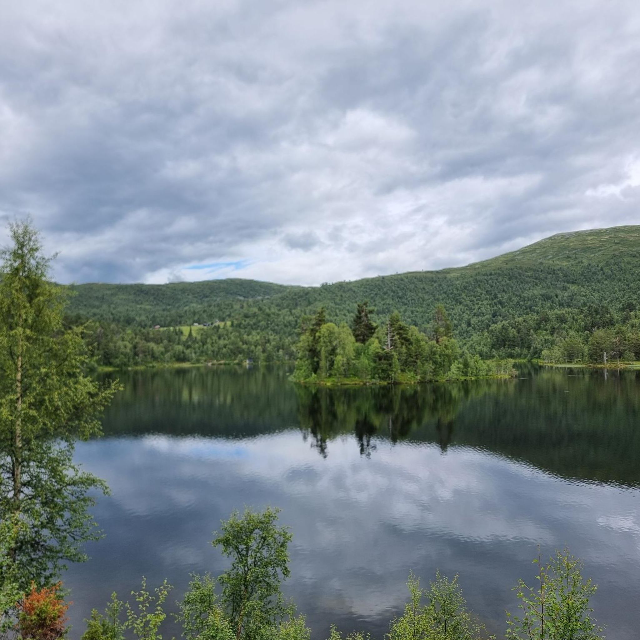
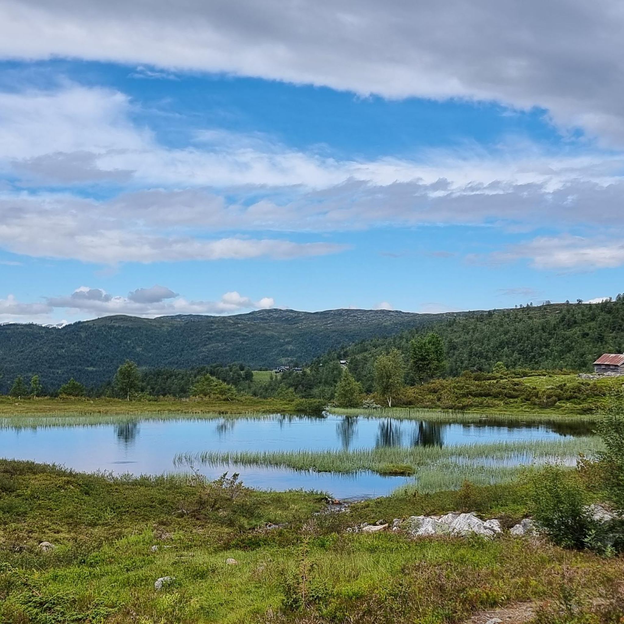
Road cycling in Breisete Naturreservat offers routes through a protected natural environment characterized by varied forest types and an elevation range from approximately 560 to 920 meters above sea level. The reserve is situated within the broader Sogn and Fjordane region, which features towering mountains, deep fjords, and low-traffic roads. Cyclists can expect to encounter dramatic landscapes including waterfalls and valleys, providing a diverse terrain for road cycling.
Best road cycling routes in Breisete Naturreservat
- The most popular road cycling…
Last updated: October 7, 2026
14
riders
42.9km
02:20
770m
770m
Moderate road ride. Good fitness required. Some segments of this route may be unpaved and difficult to ride.
3.0
(1)
13
riders
43.0km
02:18
750m
750m
Moderate road ride. Good fitness required. Mostly well-paved surfaces and easy to ride.

10
riders
136km
06:25
1,720m
1,720m
Hard road ride. Very good fitness required. Mostly well-paved surfaces and easy to ride.
37
riders
68.0km
02:56
560m
560m
Moderate road ride. Good fitness required. Mostly well-paved surfaces and easy to ride.
4.3
(3)
112
riders
104km
05:09
1,580m
1,580m
Hard road ride. Very good fitness required. Mostly well-paved surfaces and easy to ride.
Our route recommendations are based on thousands of hikes, rides, and runs completed by other people on komoot.
Start today with a free account
Your next adventure awaits.
Popular around Breisete Naturreservat
Tips from the Community

Pity the times are unclear, charming ferry
0
0
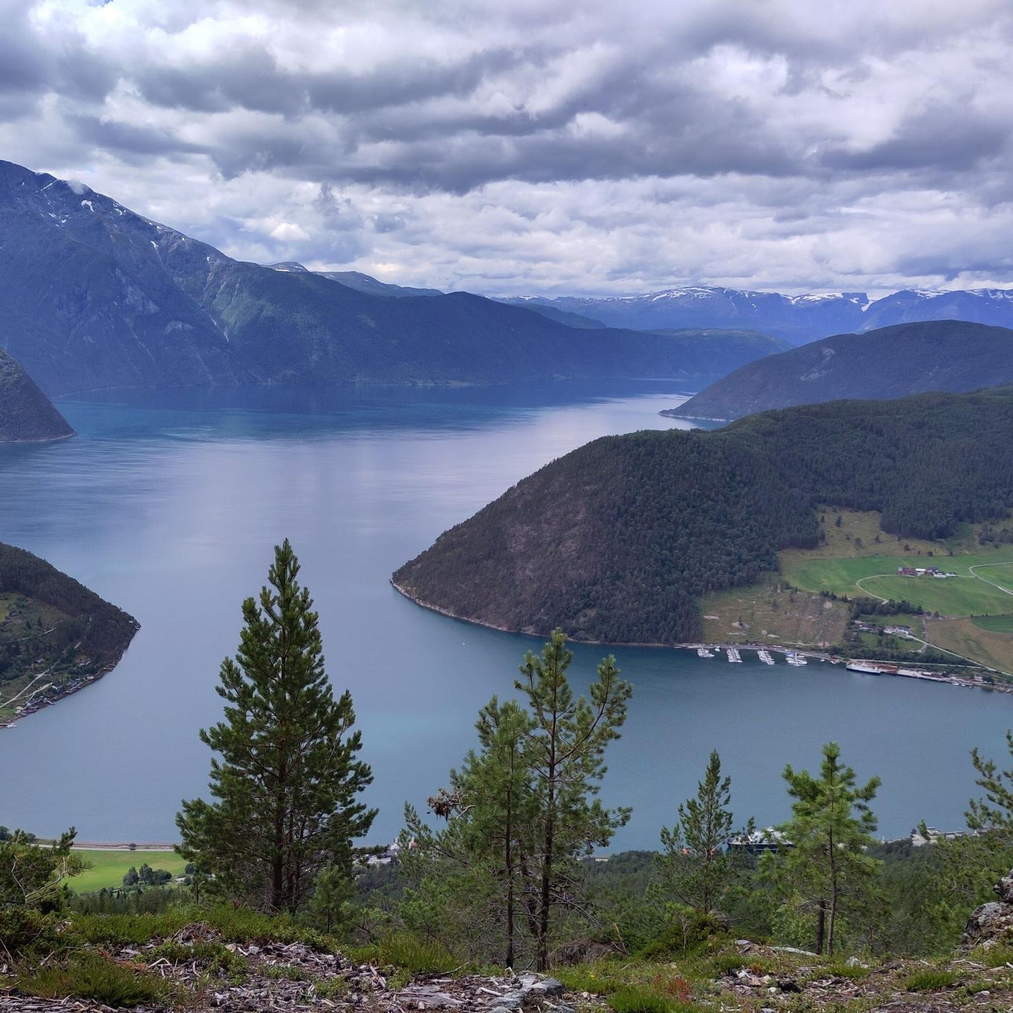
Beautiful view but it must be nice weather
0
0

Kvinnefossen, also known as the "Woman Waterfall," is a prominent cascade located by the roadside. It's one of Norway's taller waterfalls, with a significant drop of around 120-200 meters. Legends suggest its name comes from a rock formation resembling a woman, visible at certain water flows, or from a woman who tragically lost her life there.
0
0

The ferry has limited departure times, which also vary seasonally; it's best to check in advance: https://www.lustrabaatane.no/ornes-solvorn https://www.fergeruter.info/timetable/solvorn-ornes
0
0

Great bakery with very good coffee from the portafilter machine
0
0

In addition to a great viewing platform, there is also a toilet and the possibility of shelter (in case of bad weather).
0
0

A fantastic stop on the Lusterfjord circuit. Room for just nine cars, but always plenty of room for cyclists and pedestrians.
0
0
Frequently Asked Questions
What kind of terrain can I expect when road cycling in Breisete Naturreservat?
Breisete Naturreservat offers a diverse road cycling experience, characterized by varied forest types and an elevation range from approximately 560 to 920 meters above sea level. You'll encounter dramatic landscapes typical of the Sogn and Fjordane region, including towering mountains, deep fjords, and valleys. The routes often feature challenging climbs and scenic descents, providing a comprehensive workout amidst stunning natural beauty.
Are there any challenging road cycling routes for experienced riders?
Yes, Breisete Naturreservat has several challenging routes. For instance, the Stenehjemshagane – Brandhaugane loop from Kaupanger 3 kraftverk is a difficult 57.9 km (35.9 miles) route with significant elevation gain. Another demanding option is the Kvinnefossen Waterfall – Gaularfjellet Viewpoint loop from Sogndal, which spans 156.3 km (97.1 miles) and includes over 2000 meters of climbing.
What are some moderate road cycling options in the area?
If you're looking for a moderate challenge, consider the Hillestadhaugen loop from Hafslo kyrkje, a 35.3 km (21.9 miles) route with over 680 meters of ascent. Another popular moderate choice is the Kvinnefossen Waterfall loop from Sogndal, which covers 68.5 km (42.6 miles) and offers beautiful views.
Are there any road cycling routes that feature waterfalls or other natural landmarks?
Absolutely. The region is known for its dramatic natural features. The Kvinnefossen Waterfall – Gaularfjellet Viewpoint loop from Sogndal and the Kvinnefossen Waterfall loop from Sogndal both pass by the impressive Kvinnefossen Waterfall. Additionally, the Urnes Ferry Terminal – Feigumfossen loop from Sogndal offers views of the Feigumfossen waterfall and includes a ferry ride across the fjord.
What do other cyclists say about road cycling in Breisete Naturreservat?
The road cycling routes in Breisete Naturreservat are highly rated by the komoot community, with an average score of 3.7 stars. Cyclists often praise the stunning fjord views, the challenging climbs, and the opportunity to ride through pristine, undisturbed forest areas. The low-traffic roads also contribute to an enjoyable and immersive experience.
Can I find loop routes for road cycling in Breisete Naturreservat?
Yes, many of the road cycling routes in Breisete Naturreservat are designed as loops, allowing you to start and end at the same point. Examples include the Stenehjemshagane – Brandhaugane loop from Kaupanger 3 kraftverk, the Hillestadhaugen loop from Hafslo kyrkje, and the Kvinnefossen Waterfall – Gaularfjellet Viewpoint loop from Sogndal.
Are there any historical landmarks or cultural sites accessible by road bike?
While the primary focus of Breisete Naturreservat is its natural environment, the nearby Kaupanger area offers cultural points of interest. The historic Kaupanger Stave Church is a notable landmark that can be incorporated into routes starting from Kaupanger, providing a glimpse into the region's heritage.
What is the best time of year for road cycling in Breisete Naturreservat?
The best time for road cycling in Breisete Naturreservat is typically during the warmer months, from late spring through early autumn. This period offers more favorable weather conditions, with less chance of snow or ice at higher elevations, allowing for full access to the scenic mountain passes and fjord-side roads. Always check local weather forecasts before heading out.
Are there options for long-distance road cycling tours?
For those seeking longer distances, Breisete Naturreservat and its surroundings offer extensive routes. The Kvinnefossen Waterfall – Gaularfjellet Viewpoint loop from Sogndal is a significant 156.3 km (97.1 miles) ride, while the Urnes Ferry Terminal – Feigumfossen loop from Sogndal covers 104.4 km (64.9 miles), providing ample opportunity for an all-day adventure.
How many road cycling routes are available in Breisete Naturreservat on komoot?
There are 6 dedicated road cycling routes available in Breisete Naturreservat on komoot, offering a range of difficulties from moderate to difficult. These routes have been explored by over 190 road cyclists using komoot.
Most popular routes in Breisete Naturreservat

Get inspired with the komoot mobile app


Explore more
Browse the best Road cycling routes in other regions.
