The best road cycling routes in Ottadalen Landskapsvernområde
4.9
(6)
110
riders
7
rides
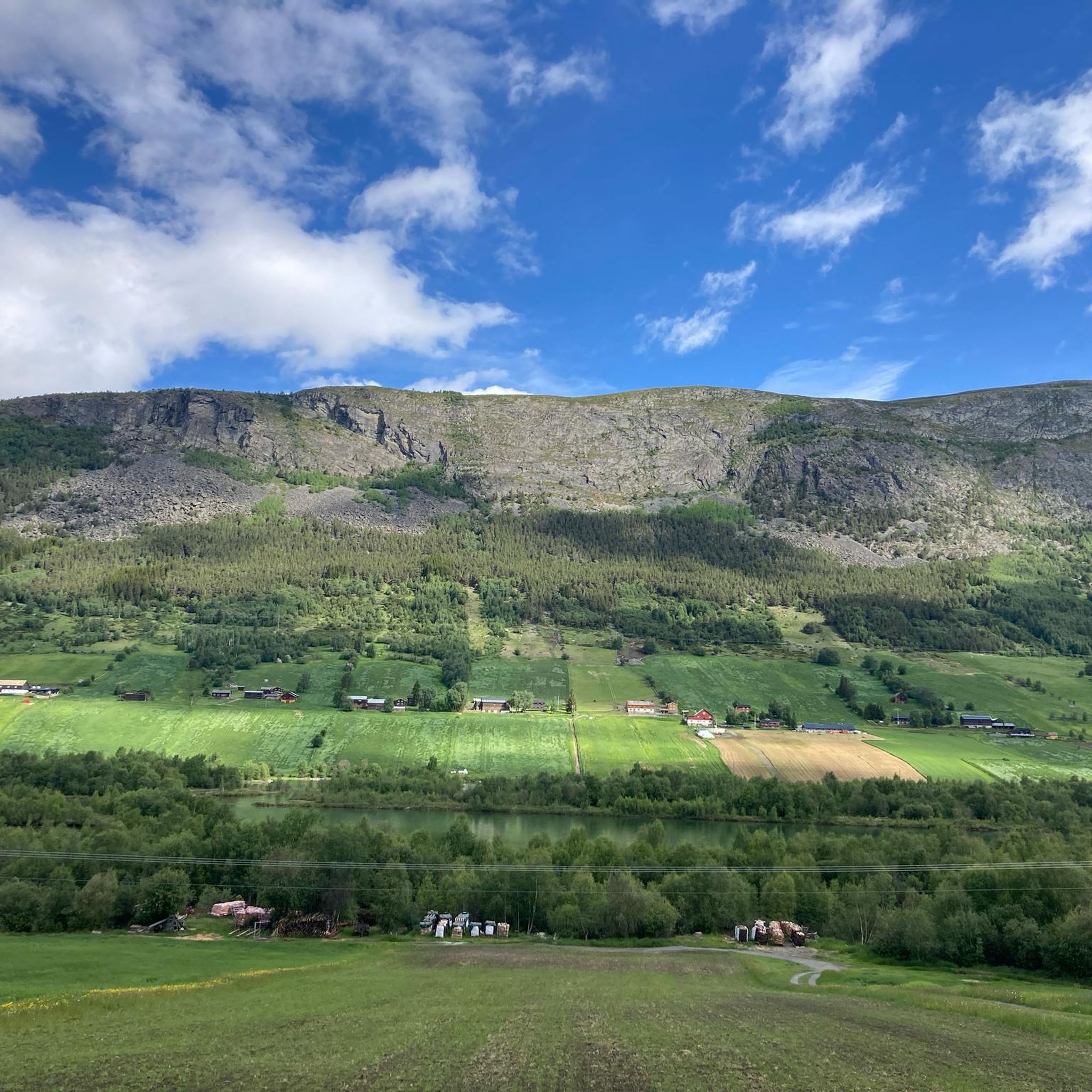
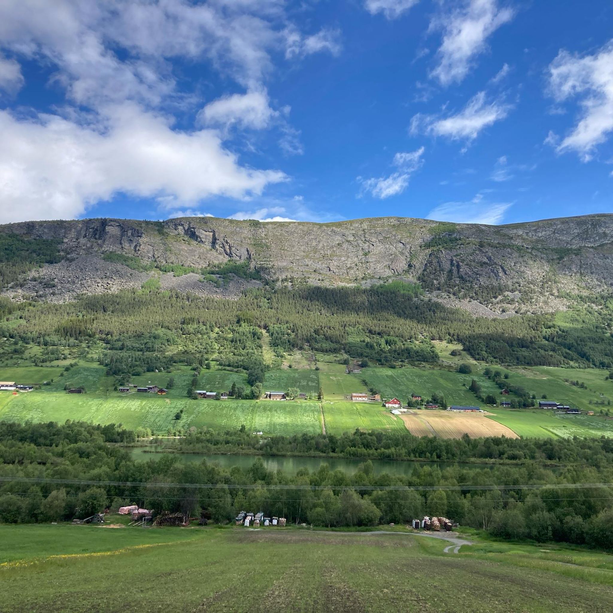
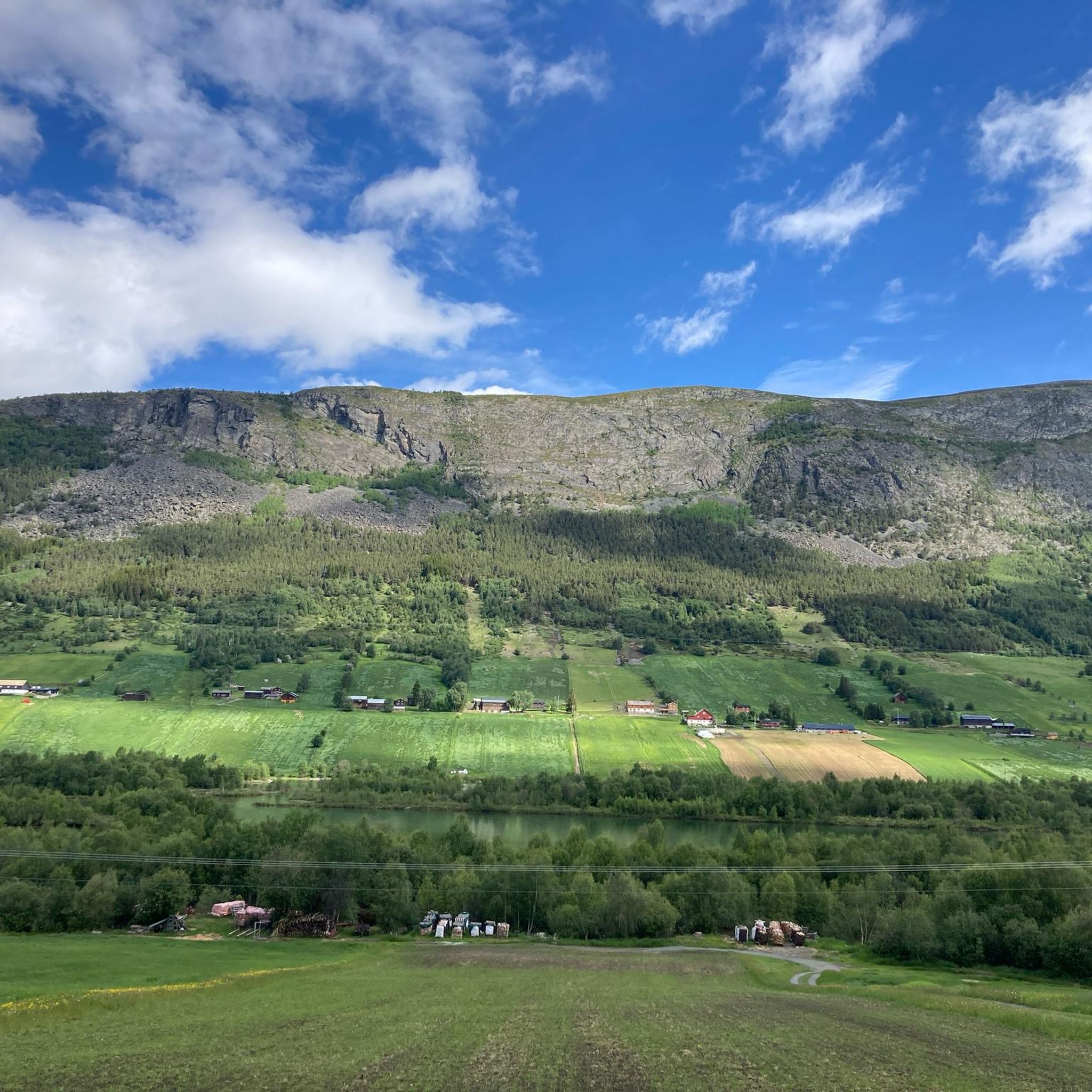
Road cycling routes in Ottadalen Landskapsvernområde traverse a protected landscape characterized by the Otta River valley, dramatic mountain slopes, and fertile pastures. The region, located in Norway's Innlandet county, offers diverse terrain suitable for road cyclists, ranging from valley floors to mountain roads with significant elevation changes. It borders Jotunheimen and Reinheimen National Parks, providing access to high-mountain environments and scenic vistas. The area features mostly paved surfaces, with some routes including unpaved segments.
Best road cycling routes in Ottadalen…
Last updated: October 7, 2026
5.0
(1)
17
riders
63.2km
03:16
720m
720m
Moderate road ride. Good fitness required. Some segments of this route may be unpaved and difficult to ride.
4.7
(3)
10
riders
48.1km
02:39
380m
380m
Moderate road ride. Good fitness required. Some segments of this route may be unpaved and difficult to ride.

5.0
(2)
47
riders
98.0km
04:49
1,410m
1,410m
Hard road ride. Very good fitness required. Mostly well-paved surfaces and easy to ride.
3
riders
15.4km
00:45
170m
170m
Easy road ride. Great for any fitness level. Mostly well-paved surfaces and easy to ride.
21
riders
100km
05:59
1,880m
1,880m
Hard road ride. Very good fitness required. Some segments of this route may be unpaved and difficult to ride.
Get access to more routes and recommendations from other explorers.
Already have an account?
Our route recommendations are based on thousands of hikes, rides, and runs completed by other people on komoot.
Start today with a free account
Your next adventure awaits.
Popular around Ottadalen Landskapsvernområde
Tips from the Community

Great climb with beautiful views
0
0
Beautiful old church, make a detour for it!
0
0

One of the few stave churches still in the country. We couldn't go inside, but the building itself is worth seeing.
0
0

The Saga Column is a monumental sculpture designed by Wilhelm Rasmussen in the 1920s. Standing 34 meters tall, it depicts key moments in Norwegian history from the Viking Age to the Constitution of 1814, crowned by an equestrian statue of King Harald Hårfagre. The column's completion and erection were delayed by historical events and controversy surrounding the sculptor, but it was finally erected at the Elveseter Hotel in 1992, becoming a striking symbol of national pride and history.
0
0
Lom Stave Church is one of Norway's largest and most well-preserved stave churches, located in the village of Lom. Dating back to the 12th century, it is famous for its dragon-head carvings on the roof and its richly decorated interior, which includes intricate carvings and frescoes. Unlike many other stave churches, it has remained in continuous use for centuries and has been expanded over time, most notably with the addition of a transept in the 17th century.
1
0
Vågåvatn is a large, beautiful lake with turquoise and crystal-clear waters, originating from glacial meltwater in the nearby Jotunheimen mountains. The village of Vågåmo located at its eastern end, offering scenic views and recreational opportunities.
0
0

From the bridge at Vågåmo, where the Otta River flows into Lake Vågåvatnet, you get a striking view of the water on each side. Lake Vågåvatnet is a long, narrow lake at 362 metres (1,188 ft) above sea level, and the Otta River both flows into and out of it before running 148 kilometres (92 mi) down to meet the Gudbrandsdalslågen at the town of Otta.
0
0

Frequently Asked Questions
How many road cycling routes are available in Ottadalen Landskapsvernområde?
There are 8 road cycling routes in Ottadalen Landskapsvernområde, offering a range of experiences from easy rides to challenging mountain ascents.
What kind of terrain can I expect on road cycling routes in Ottadalen Landskapsvernområde?
The terrain varies significantly, from fertile valley floors along the Otta River to dramatic mountain slopes and high-mountain areas bordering national parks. You'll find mostly paved surfaces, but some routes may include unpaved segments. Expect significant elevation changes, with some routes featuring climbs of over 1400 meters.
Are there any easy road cycling routes suitable for beginners or families?
Yes, there is one easy route available. The Ørneberget loop from Lom stavkyrkje is a shorter option, covering about 14.6 km with moderate elevation gain, making it a good choice for those looking for a less strenuous ride.
Which routes offer the most challenging road cycling experiences?
For experienced cyclists seeking a challenge, the region offers two difficult routes. The Lom Stave Church – Sognefjellshytta loop from Lom stavkyrkje is particularly demanding, spanning nearly 100 km with over 1400 meters of elevation gain as it leads into high-mountain areas.
What natural features and landmarks can I see along the road cycling routes?
You can expect stunning views of the Otta River valley, Vågåvatn lake, and dramatic mountain landscapes. Cultural highlights include the historic Lom Stave Church, which is a feature on several routes. The region is also known for its prominent river systems, cascades, and rapids, such as the impressive Dønfossen Rapids, which add to the scenic beauty.
Are there any circular road cycling routes in Ottadalen Landskapsvernområde?
Many of the routes in the area are designed as loops, allowing you to start and finish at the same point. Examples include the popular View of Vågåvatn – Lom Stave Church loop from Lom stavkyrkje and the Øyberget – Bråtååsen loop from Ottaelva.
What is the best time of year for road cycling in Ottadalen Landskapsvernområde?
The best time for road cycling is typically during the warmer months, from late spring through early autumn. This period offers the most favorable weather conditions and ensures that higher mountain roads are clear of snow, allowing access to the full range of routes and their breathtaking views.
What do other road cyclists enjoy most about road cycling in Ottadalen Landskapsvernområde?
The area is highly rated by the komoot community, with an average score of 5.0 stars. Reviewers often praise the diverse terrain, from scenic river valleys to challenging mountain ascents, and the access to national park landscapes. The combination of natural beauty and cultural landmarks like the Lom Stave Church also contributes to a memorable cycling experience.
Are there places to stop for food or drinks along the road cycling routes?
While specific cafes directly on every route are not detailed, the town of Lom, centrally located in the valley, offers various amenities including cafes and restaurants. Planning your route to pass through or near Lom can provide opportunities for refreshments and breaks.
Is parking available for road cyclists in Ottadalen Landskapsvernområde?
Parking is generally available in key towns and starting points for routes, such as Lom. Many routes begin near accessible locations, making it convenient to park your vehicle before heading out on your ride.
Can I reach the road cycling routes using public transport?
While specific public transport details for each route are not provided, the Ottadalen valley is served by regional bus services that connect major towns like Lom. It's advisable to check local public transport schedules and bicycle carriage policies if you plan to use this option to access the starting points of the routes.
Most popular routes in Ottadalen Landskapsvernområde

Get inspired with the komoot mobile app


Explore more
Browse the best Road cycling routes in other regions.
