The best mountain hikes around Hrpelje-Kozina
4.5
(2)
25
hikers
4
hikes
Mountaineering routes around Hrpelje-Kozina traverse Slovenia's Karst region, characterized by unique Karst topography, rolling hills, and dramatic peaks. The landscape features limestone cliffs, extensive meadows, and areas where water sinks into the karst limestone. This environment provides varied terrain for mountaineering, from moderate ascents to more challenging routes.
Best mountaineering routes around Hrpelje-Kozina
- The most popular mountaineering route is Slavnik loop from Podgorje, a 3.5 miles (5.7 km) trail that takes 2 hours 34 minutes to complete. This route…
Last updated: October 2, 2026
9
hikers
5.73km
02:35
510m
510m
Moderate mountaineering route. Good fitness required. Mostly accessible paths. Sure-footedness required.
4.0
(1)
7
hikers
Moderate mountaineering route. Great for any fitness level. Mostly accessible paths. Sure-footedness required.

2
hikers
6.28km
02:28
350m
350m
Moderate mountaineering route. Good fitness required. Mostly accessible paths. Sure-footedness required.
Our route recommendations are based on thousands of hikes, rides, and runs completed by other people on komoot.
Start today with a free account
Your next adventure awaits.
Popular around Hrpelje-Kozina
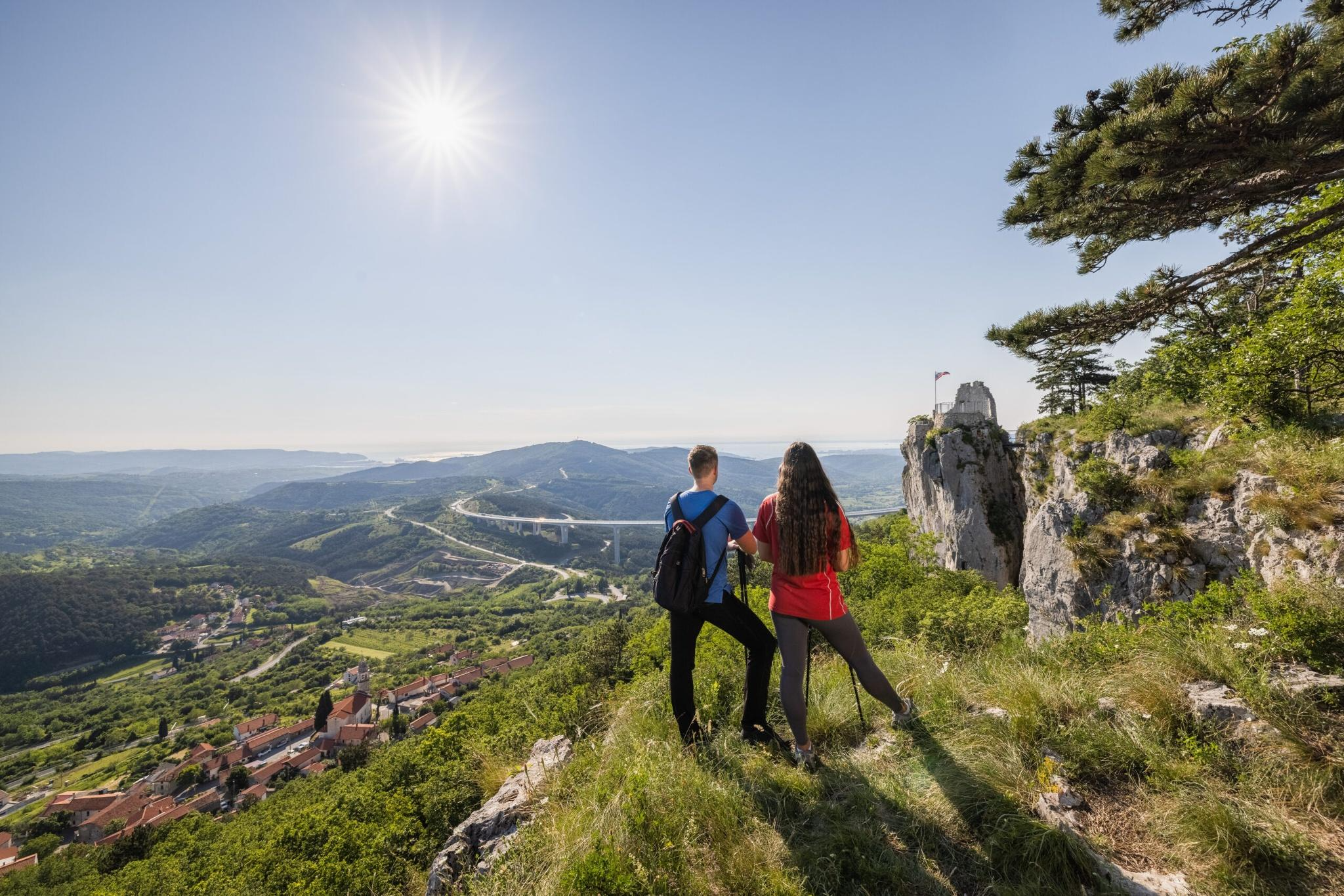
Hiking adventures in Slovenia for families away from the hustle and bustle
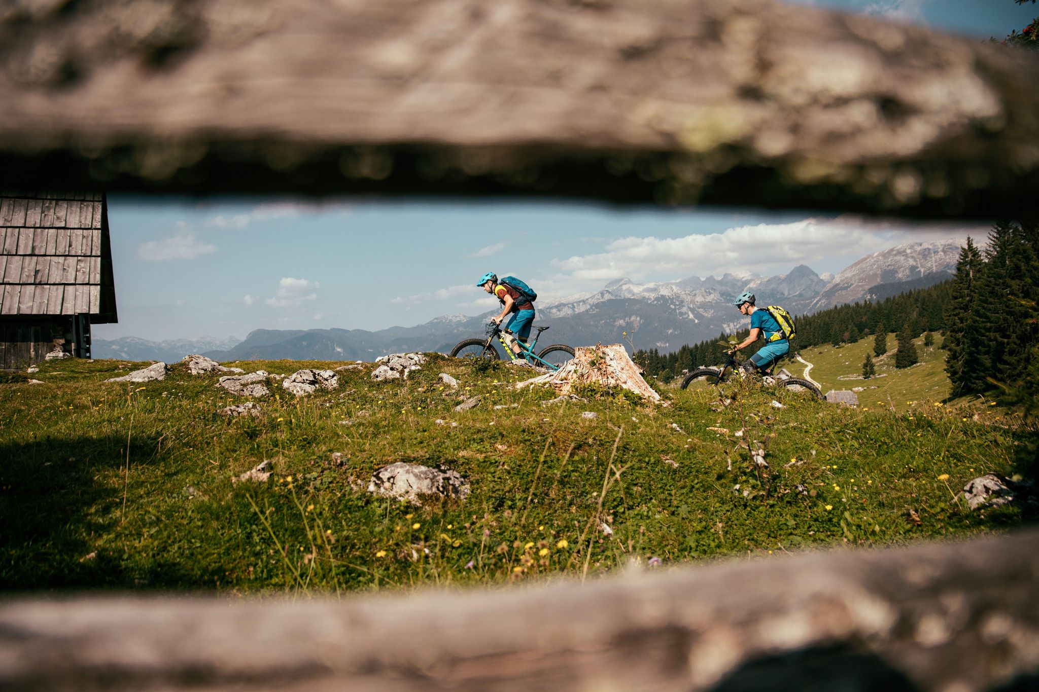
A 1,800 km MTB adventure – the Slovenian mountainbike route (STKP)
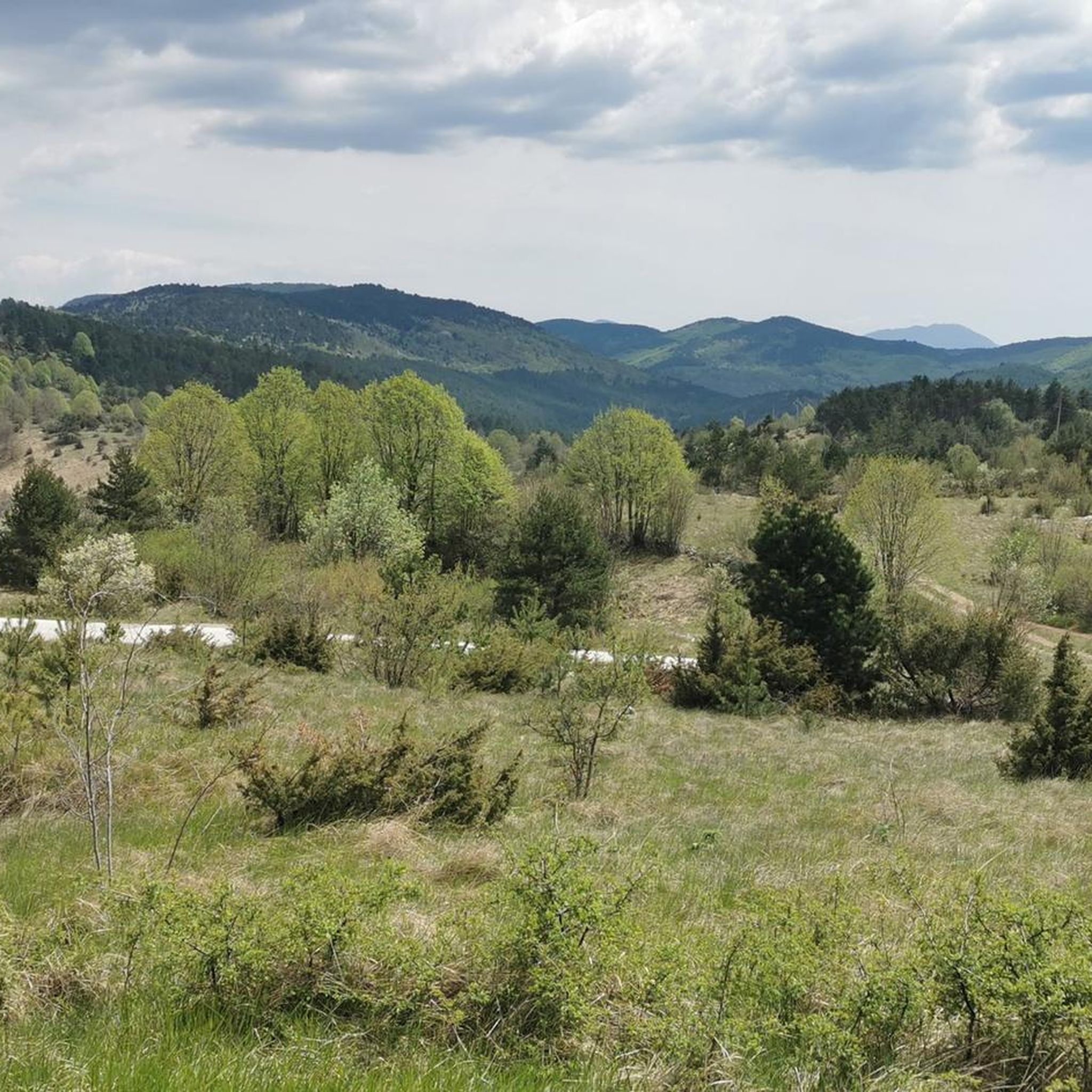
Hiking around Hrpelje-Kozina
Road Cycling Routes around Hrpelje-Kozina
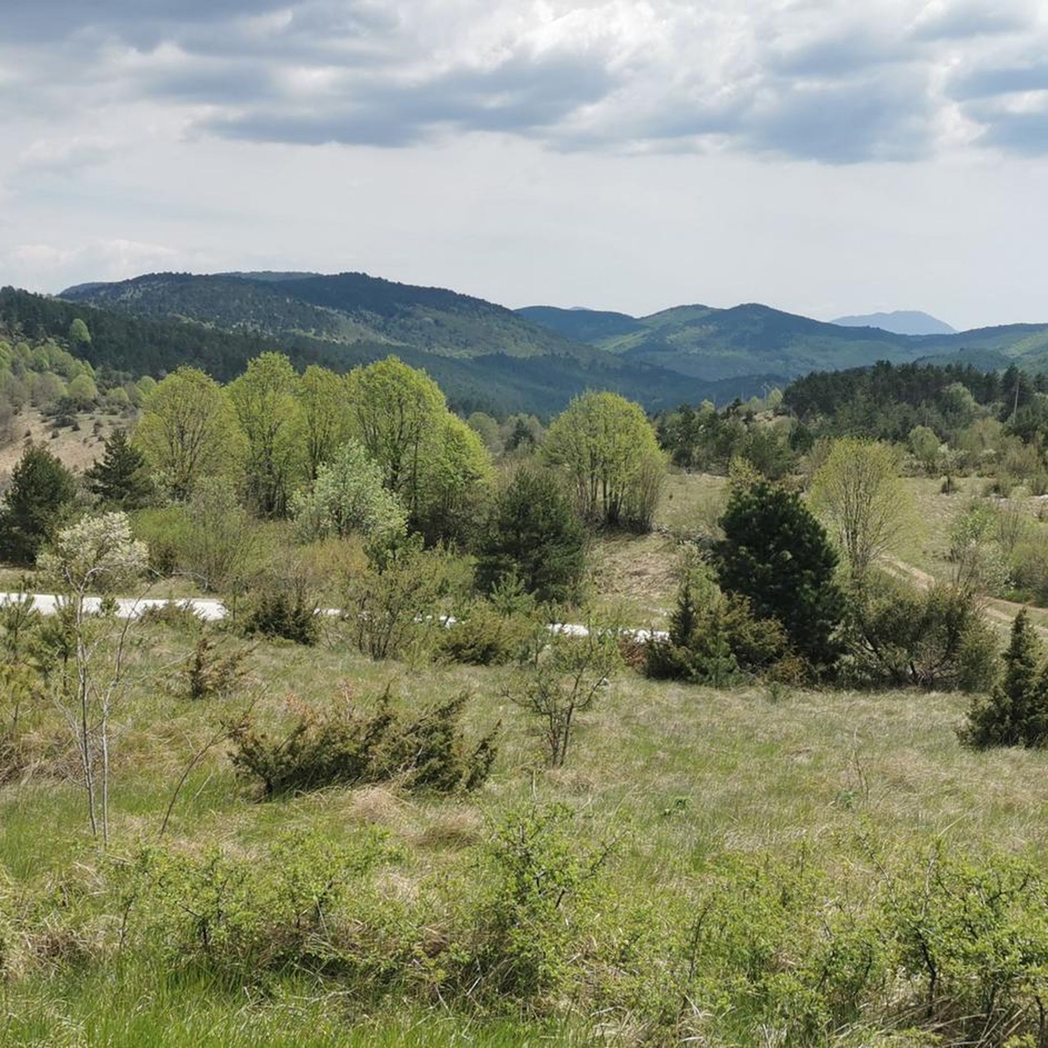
Cycling around Hrpelje-Kozina
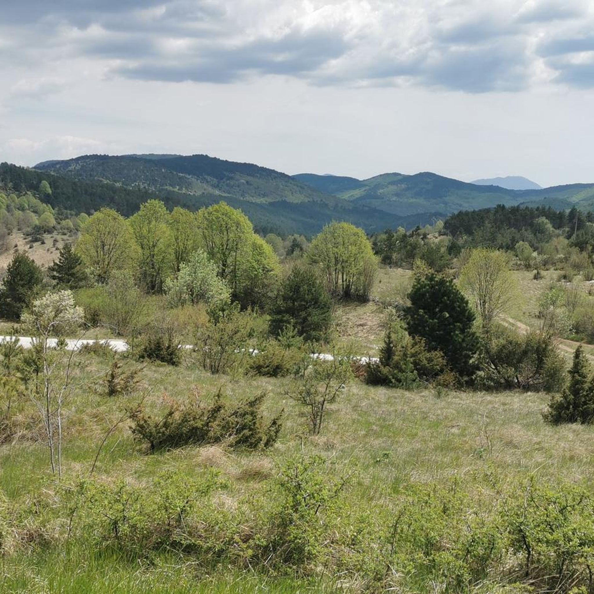
MTB Trails around Hrpelje-Kozina

Gravel biking around Hrpelje-Kozina
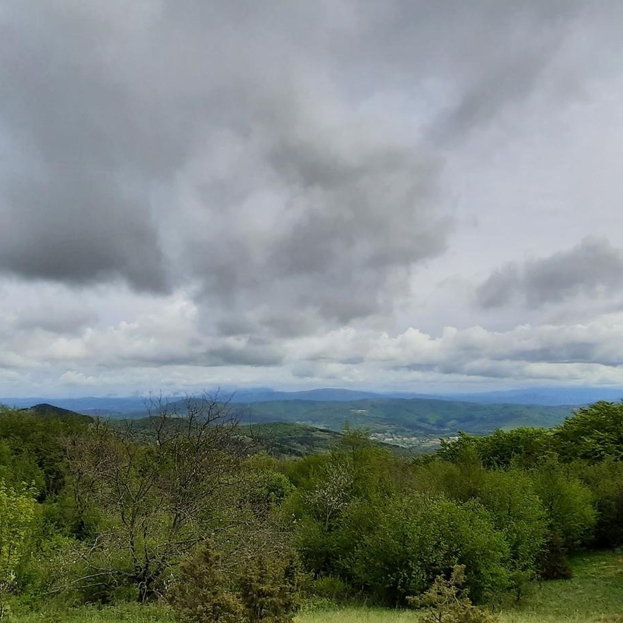
Running Trails around Hrpelje-Kozina

Tips from the Community

It's worth it for the beauty of the place. Not suitable for people with walking difficulties.
0
0


There is a small accommodation at the summit of Slavnik. The summit is a popular destination for bikers and hikers. You can find more information here: https://www.pzs.si/koce.php?pid=174.
0
0
Remains of the ancient Roman aqueduct set in the wonderful context of the Val Rosandra nature reserve
1
0

Remains of ancient passages, characteristic.
0
0
A spectacular view of the Rosandra torrent waterfall, where the power of the water and the beauty of the landscape blend together in a breathtaking natural setting.
0
0
A hidden wonder in nature, a corner of tranquility where the water flows powerfully and regeneratingly. A true natural spectacle not to be missed!
0
0
Nice little waterfall along the way!
0
0
Frequently Asked Questions
How many mountaineering routes are available in Hrpelje-Kozina?
There are 6 mountaineering routes documented in the Hrpelje-Kozina area, offering a range of experiences from moderate to difficult ascents through the unique Karst landscape.
What are some family-friendly mountaineering options in the Hrpelje-Kozina area?
While the routes listed are generally moderate to difficult, the region's extensive trail network includes many paths suitable for families. For a moderate option, consider the Slavnik loop from Podgorje, which offers rewarding panoramic views from Mount Slavnik. Always check the specific route details to ensure it matches your family's ability.
Are there any circular mountaineering routes around Hrpelje-Kozina?
Yes, several routes in the area are circular. For instance, the View of the Rosandra Waterfall – Supet Waterfall loop from San Dorligo della Valle / Dolina is a moderate circular path exploring the Val Rosandra area. Another option is the Bukov vrh (Mala Vremščica) – Velika Vremščica loop from Pezlevc, which takes you through the scenic Vremščica ridge.
Can I bring my dog on the mountaineering trails in Hrpelje-Kozina?
Many trails in the Hrpelje-Kozina region are dog-friendly, allowing you to enjoy the Karst landscape with your canine companion. It's always advisable to keep dogs on a leash, especially in areas with livestock or protected wildlife, and to carry enough water for both yourself and your pet.
What is the best time of year for mountaineering in Hrpelje-Kozina?
The spring and autumn months are generally ideal for mountaineering in Hrpelje-Kozina. Spring brings blooming meadows, especially on mountains like Vremščica, while autumn offers pleasant temperatures and vibrant foliage. Summers can be warm, but higher elevations provide cooler air. Winters can be challenging due to snow and ice, requiring appropriate gear and experience.
Are there any routes that feature waterfalls or unique natural features?
Yes, the Val Rosandra area, near the Slovenian-Italian border, is known for its impressive natural features. The Val Rosandra Gorge – Val Rosandra Waterfall loop from San Dorligo della Valle / Dolina is a challenging route that takes you directly through the gorge and past its waterfalls. The region's Karst topography itself is a unique feature, with blind valleys and fascinating limestone formations.
Where can I find parking for mountaineering routes in Hrpelje-Kozina?
Parking is typically available near common starting points for mountaineering routes. For example, routes leading to Slavnik often start from villages like Podgorje, where you can usually find designated parking areas. For routes in the Val Rosandra area, parking is available near San Dorligo della Valle / Dolina or Riserva Naturale Val Rosandra / Naravni rezervat Dolina Glinščice.
Are there any challenging mountaineering routes for experienced climbers?
Yes, the Hrpelje-Kozina area offers routes for experienced mountaineers. The Val Rosandra Gorge – Val Rosandra Waterfall loop from San Dorligo della Valle / Dolina and the Val Rosandra Waterfall – Val Rosandra Gorge loop from Riserva Naturale Val Rosandra / Naravni rezervat Dolina Glinščice are both rated as difficult, traversing the rugged Val Rosandra Gorge. The region also has several crags for rock climbing, such as Klanci and Osp Valley, for those seeking technical ascents.
What kind of wildlife might I encounter on the trails?
The Karst region around Hrpelje-Kozina is rich in biodiversity. While mountaineering, you might spot various bird species, small mammals, and insects. The extensive meadows of Vremščica are used for sheep pasture, so you may encounter grazing animals. Always observe wildlife from a distance and avoid disturbing their natural habitat.
Are there places to eat or drink near the mountaineering trailheads?
Yes, you can find places to eat and drink near some of the popular mountaineering areas. For example, the Tumova Hut is located just below the summit of Slavnik (Taiano), offering refreshments. Additionally, the villages around Hrpelje-Kozina and San Dorligo della Valle / Dolina often have local cafes and restaurants where you can refuel after your hike.
What are some notable landmarks or attractions I can see while mountaineering?
Mountaineering in Hrpelje-Kozina offers views of several notable landmarks. The summit of Slavnik (Taiano) provides panoramic vistas of the Adriatic Sea and distant Alps. The Val Rosandra Gorge itself is a significant natural attraction. You might also encounter historical and natural heritage sites along the extensive trail network, including the Friendship Trail.
How do other mountaineers rate the trails in Hrpelje-Kozina?
The mountaineering routes in Hrpelje-Kozina are highly rated by the komoot community, with an average score of 4.5 out of 5 stars. Reviewers often praise the stunning panoramic views from peaks like Slavnik, the unique Karst topography, and the diverse natural beauty of areas like Val Rosandra.
Can I reach mountaineering trailheads using public transport?
While some trailheads might be accessible via local bus services, public transport options can be limited in more remote areas of the Karst region. It's recommended to check local bus schedules in advance for specific starting points like Podgorje or villages near Val Rosandra. For greater flexibility, driving to the trailheads is often the most convenient option.
Most popular routes around Hrpelje-Kozina
Most popular attractions around Hrpelje-Kozina

Get inspired with the komoot mobile app


