Attractions and Places To See around Area D (Lardeau Valley/Duncan Lake) - Top 3
Best attractions and places to see around Area D (Lardeau Valley/Duncan Lake) is a remote mountainous region in British Columbia, situated at the northern end of Kootenay Lake. This area is characterized by its natural beauty, including Duncan Lake and the Lardeau River, and holds historical significance as the traditional territories of several First Nations peoples. Visitors can explore diverse landscapes, from prominent bodies of water to dense forests, offering a range of outdoor activities. The region's natural attractions and…
Last updated: July 19, 2026
Stone Sculptures in the Forest
Highlight • Structure
Tip by

Kootenay River and Kootenay Lake Route
Highlight (Segment) • Trail
Translated by Google •
Tip by

Sign up now to discover places like this
Get recommendations on the best single tracks, peaks, & plenty of other exciting outdoor places.
Sign up for free
Galena Trail Cable Car
Highlight • Bridge
Tip by

Kootenay Bay Terminal
Highlight • Rest Area
Translated by Google •
Tip by

Idaho Peak
Highlight • Summit
Tip by

Sign up for free to discover even more attractions around Area D (Lardeau Valley/Duncan Lake).
Sign up for free
Already have an account?
Start today with a free account
Your next adventure awaits.
Login or Signup
Popular around Area D (Lardeau Valley/Duncan Lake)
Tips from the Community

A number of statues, known as Koots, are dotted along the Kaslo River Trail. Some of them are quite obvious while others are a bit more hidden. Keep your eyes peeled as you walk along the river and through the forest, you never know what you might see looking back at you.
0
0

Idaho Peak sits at 2,280 metres in the Selkirk Mountains and is one of the most iconic viewpoints in the West Kootenay. From the top, you can see all the way down to Slocan Lake and the villages of New Denver and Silverton, with the Slocan, Goat, Kokanee, and Valhalla mountain ranges visible in every direction. The summit is home to a historic BC Forest Service fire lookout tower dating back to the 1940s, and the surrounding subalpine meadows are world-renowned for their summer wildflower displays. It’s a fantastic spot to take a long break, have a picnic and take in the scenery before heading back down the trail.
0
0

Galena Trail Cable Car is a unique river crossing. The cable car requires users to pull ropes to cross the creek, and bringing gloves for the cables is highly recommended. Users must cross one at a time and may bring their bike, with the car having a maximum load of 160 kilograms. There are clear directions and loading and unloading platforms at the cable car station.
0
0

A short but beautiful tour. Highly recommended!
0
0

The free ferry between Kootenay Bay and Balfour is one of the most scenic ferry rides in Canada, with stunning views of Kootenay Lake and the surrounding mountains.
3
0
The Kootenay Bay Terminal is a major shipping point in the Kootenay region of British Columbia, Canada, primarily used for ferry service between Kootenay Bay and Balfour. Here is information about the terminal and some scenic spots you can explore in the area:
3
0

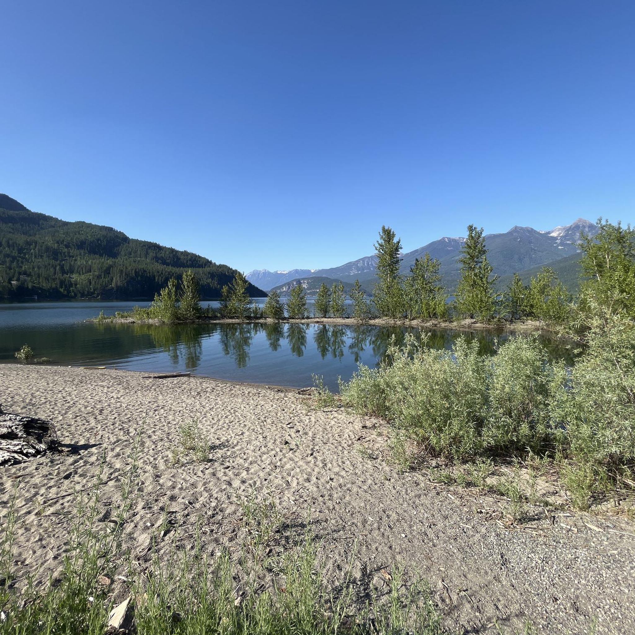
The trail runs mostly parallel to the shore to the nice town of Nelson, which invites you to a delicious lunch. From here to the lake you have to cycle on the country road. On the banks of the lake-like river you can always find stretches of beach that invite you to take a break with a refreshing swim. Some beaches have showers and drinking water. Kootenay Lake can be reached at Balfour, where a free ferry crosses the lake. There is a snack right at the ferry terminal that also offers delicious ice cream. If you arrive in Balfour in the afternoon or even in the evening, you should spend the night at Cedar`s Lake Campground a few hundred meters in front of the ferry. On the other side of the lake, there are few places to stay, the next campsite is only at Gray Creek.
0
0
Frequently Asked Questions
What natural attractions can I explore in the Lardeau Valley and Duncan Lake area?
The region is rich in natural beauty. You can visit Kootenay Lake for boating, kayaking, and fishing, or experience the Class 2 rapids of the Lardeau River. Don't miss the Wilson Creek Falls, plunging 63 meters into a canyon. Duncan Lake itself offers scenic views, with water levels fluctuating to reveal historical traces. The Meadow Creek Spawning Channel is also a unique natural wonder to observe spawning fish seasonally.
What historical and cultural sites are there to visit in the Lardeau Valley?
The Lardeau Valley has a rich history. You can explore the Lardeau Valley Historical Centre in Meadow Creek, housed in the historic Gerrard Fishery building. It showcases mining, logging, agriculture, and early Aboriginal artifacts, some dating back 12,000 years. The Duncan Dam, built in 1967, is also a significant landmark controlling the flow of the Duncan River.
When is the best time to visit the Lardeau Valley and Duncan Lake area?
The best time depends on your interests. For observing spawning fish at the Meadow Creek Spawning Channel, visit from late August to early October. Hiking trails like Monica Meadows are best from mid-July to late September, while Fry Creek is accessible from mid-April to early November. Summer offers ideal conditions for water activities on Kootenay and Duncan Lakes.
Are there family-friendly activities in the Lardeau Valley and Duncan Lake area?
Yes, there are several family-friendly options. The Meadow Creek Spawning Channel offers a unique opportunity to observe fish, though bear activity can sometimes restrict access. Glayco Beach and Lardeau Regional Park provide spots for swimming, picnicking, and beach activities. Easy walks along the Lardeau River or through the woods are also suitable for families.
Are there any accessible attractions for visitors with mobility considerations?
Yes, some attractions offer accessibility. The Kootenay Bay Terminal, which serves the scenic ferry across Kootenay Lake, is wheelchair accessible. Ainsworth Hot Springs also offers wheelchair accessibility, allowing more visitors to enjoy its unique thermal waters.
Where can I observe wildlife in the region?
The Lardeau Valley is home to diverse wildlife. You might spot deer, moose, elk, black and grizzly bears, mountain caribou, wolverine, wolves, and mountain goats. Over 68 species of birds have been recorded. The Duncan-Lardeau Conservation Area is an important wildlife corridor, and the Meadow Creek Spawning Channel is a prime spot to see spawning fish, attracting bears.
What hiking opportunities are available near the attractions?
The region offers numerous hiking trails for various skill levels. For moderate hikes, consider the Monica Meadows trail (10km round trip) or Dewar Creek Trail. If you're looking for an easier option, the Stone Sculptures in the Forest loop is a good choice. You can find more details and routes for hiking in the area by visiting the Hiking around Area D (Lardeau Valley/Duncan Lake) guide.
Are there cycling routes in the Lardeau Valley and Duncan Lake area?
Yes, there are several road cycling routes. The Kootenay River and Kootenay Lake Route offers a scenic ride, often parallel to the shore. For a unique experience, try the Galena Trail Cable Car, where you can pull yourself and your bike across a creek. More cycling routes can be found in the Road Cycling Routes around Area D (Lardeau Valley/Duncan Lake) guide.
What amenities are available in the small communities of the Lardeau Valley?
The Lardeau Valley communities offer basic amenities. Meadow Creek has a general store and the valley's sole restaurant and pub, providing a place to eat and resupply. Other small communities like Lardeau, Cooper Creek, Howser, Argenta, and Johnsons Landing offer a glimpse into rural life but have fewer services.
Are there any unique experiences or hidden gems in the area?
Beyond the well-known spots, the region offers unique experiences. The Galena Trail Cable Car provides an adventurous, self-operated river crossing. The fluctuating water levels of Duncan Lake can reveal traces of prior settlements and tree stumps, especially in winter and early spring. The remote nature of the valley also makes it a gateway to backcountry adventures and is known as the 'Cat Skiing Capital of the World'.
What are the options for swimming and beach access?
You have several options for swimming and beach access. Kootenay Lake offers clear waters with stretches of beach, some even having showers and drinking water. Glayco Beach in Howser and Lardeau Regional Park on the western shore of Kootenay Lake are popular spots for swimming, picnicking, and enjoying the waterfront.
Most popular routes around Area D (Lardeau Valley/Duncan Lake)

Get inspired with the komoot mobile app


Explore more
Still not found the Highlight you’re looking for? See guides of the top attractions in other regions:
