The best gravel rides around Pont-Farcy
5.0
(6)
83
riders
6
rides
Gravel biking around Pont-Farcy is characterized by its diverse terrain, featuring river valleys, former railway embankments, and wooded areas. The region offers a mix of routes that follow the Vire River, providing scenic paths alongside water. Riders can expect varied surfaces, from compacted earth to gravel tracks, often passing through rural landscapes and small villages. The area includes some notable geological features like the Rochers de Ham, adding elevation changes to certain routes.
Best gravel bike trails around Pont-Farcy
- The…
Last updated: May 23, 2026
5.0
(4)
31
riders
52.9km
02:54
280m
280m
Moderate gravel ride. Good fitness required. Mostly paved surfaces. Suitable for all skill levels.
14
riders
86.4km
04:38
460m
460m
Hard gravel ride. Very good fitness required. Mostly paved surfaces. Suitable for all skill levels.

Sign up for free
5.0
(1)
12
riders
139km
08:34
1,650m
1,650m
Hard gravel ride. Very good fitness required. Mostly paved surfaces. Suitable for all skill levels.
5.0
(1)
16
riders
100km
05:40
1,030m
1,030m
Hard gravel ride. Very good fitness required. Mostly paved surfaces. Suitable for all skill levels.
3
riders
25.0km
02:00
420m
420m
Moderate gravel ride. Good fitness required. Mostly paved surfaces. Suitable for all skill levels.
Our route recommendations are based on thousands of hikes, rides, and runs completed by other people on komoot.
Start today with a free account
Your next adventure awaits.
Login or Signup

Tips from the Community

Water point, public restrooms, picnic tables. Quiet and bucolic location.
1
0

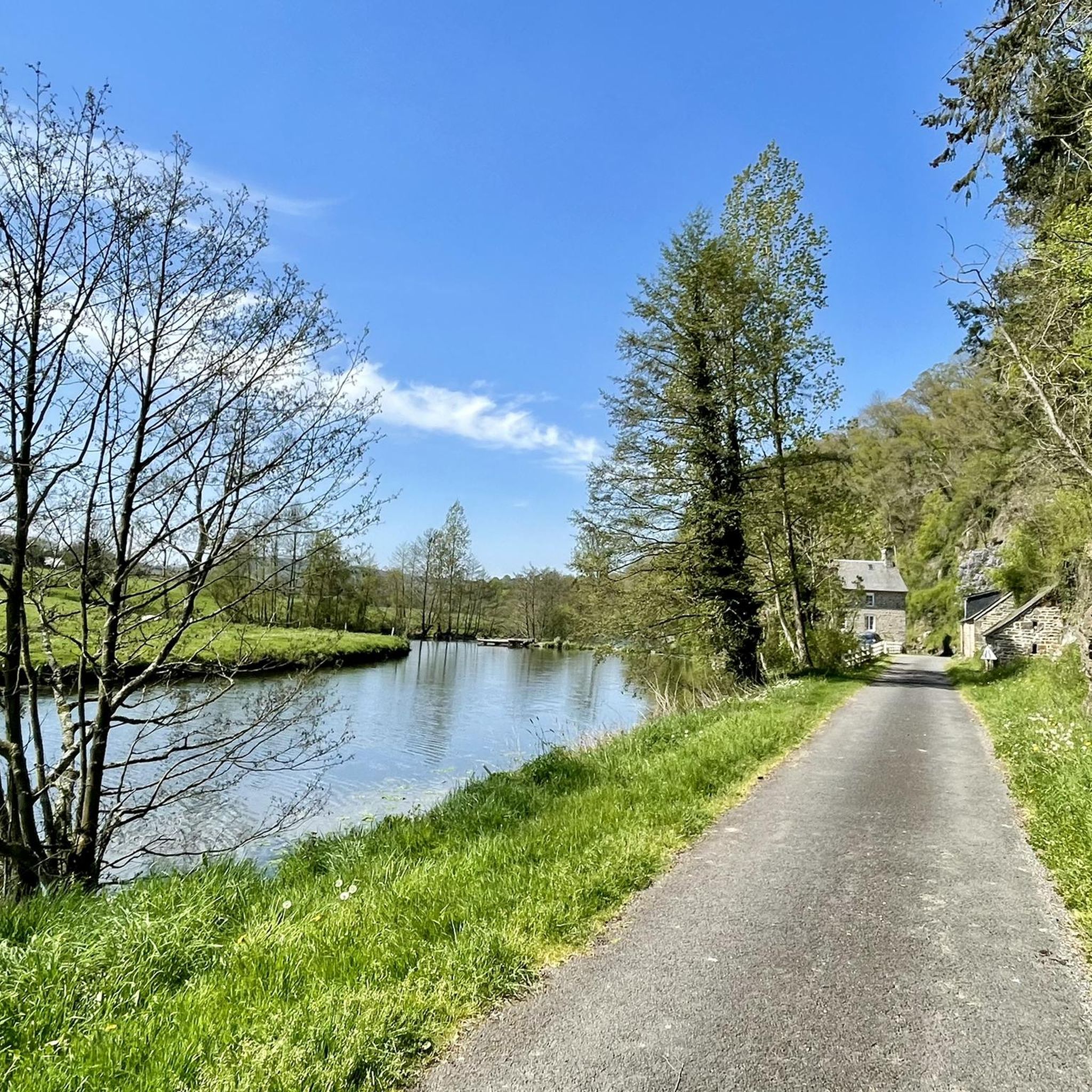
mix of towpath and path
0
0


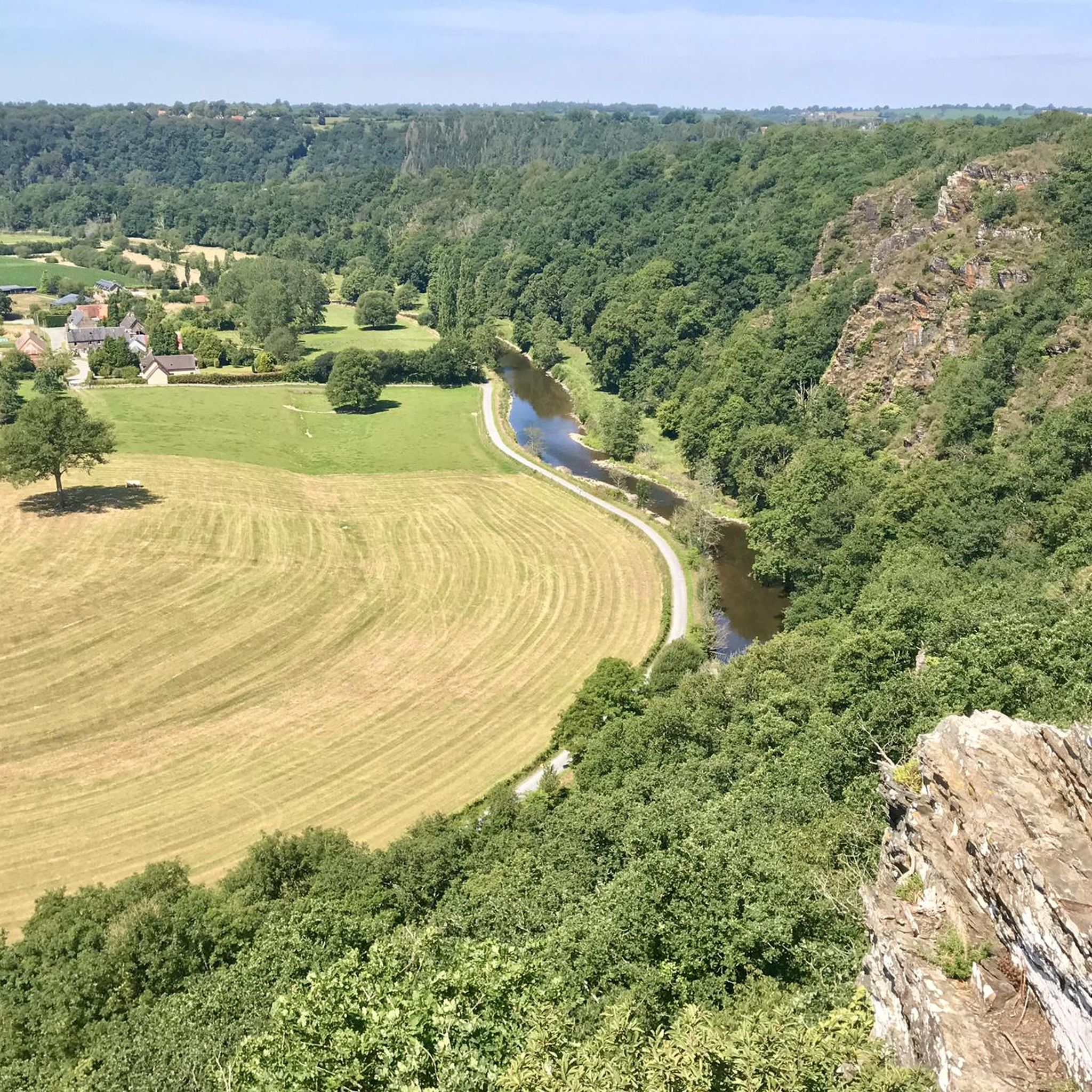
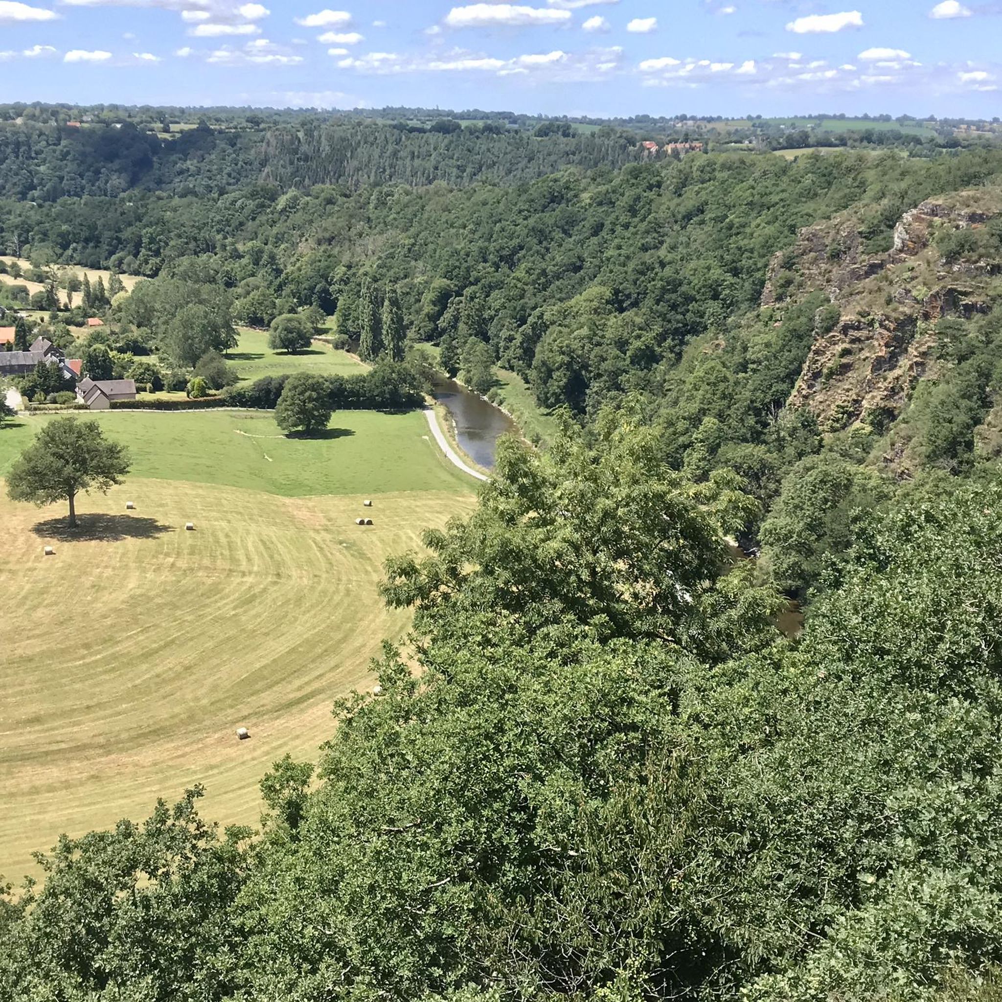
From up here, you have a beautiful view down into the valley and across the Vire River. If the weather's good, you can even go for a short hike.
0
0

Beautiful location for leisure activities
0
0

beautiful stained glass windows in this church which was spared by the bombings
0
0

the most Good route Mont St Michel, via Mortain, St Hilaire, Isigny Le buat, Ducey, Ponobaut, All The village has The good Bakery and place for a small cafe, the most Good route Mont St Michel, via Mortain, St Hilaire, Isigny Le buat, Ducey, Ponobaut, All The village has The good Bakery and place for a small cafe,
0
0

Charming little passage of a tributary of the Glanon with a small stone bridge for those who don't want to get their feet wet.
0
0
Frequently Asked Questions
What are the typical difficulty levels for gravel biking in Pont-Farcy?
Gravel biking around Pont-Farcy offers a range of challenges. You'll find 5 moderate routes and 2 difficult routes, with no easy routes listed. The terrain often includes river valleys, former railway embankments, and wooded areas, providing varied surfaces and some elevation changes, particularly near geological features like the Rochers de Ham.
What kind of distances can I expect on gravel bike routes around Pont-Farcy?
The gravel bike routes in Pont-Farcy vary significantly in length. You can find tours ranging from approximately 25 km, such as the Stream crossing – Montjoie Wood loop from Saint-Sever, up to longer excursions like the Former Railway Embankment – Along the Vire loop from Saint-Sever, which covers about 139 km.
Are there any challenging gravel bike trails for experienced riders in Pont-Farcy?
Yes, for experienced riders seeking a challenge, Pont-Farcy offers several difficult routes. The Towing Path – The Vire Cycle Route loop from Tessy-Bocage is a demanding 86 km path utilizing the historic towing path. Another option is the Moderate Vire Tour – Former Railway Embankment loop from Guilberville, which spans over 100 km and includes significant elevation.
What are some scenic viewpoints or natural landmarks along the gravel bike trails?
Many routes in Pont-Farcy offer beautiful scenery, often following the Vire River. A notable highlight is the Roches de Ham — panorama over the Vire, which provides stunning views. The View of the Rochers de Ham – Moderate Vire Tour loop from Tessy-Bocage specifically offers views of these impressive geological features.
Are there any circular gravel bike routes available in Pont-Farcy?
Yes, many of the gravel bike routes in Pont-Farcy are designed as loops, allowing you to start and finish at the same point. Examples include the View of the Rochers de Ham – Moderate Vire Tour loop from Tessy-Bocage and the Towing Path – The Vire Cycle Route loop from Tessy-Bocage.
What do other gravel bikers enjoy most about gravel biking in Pont-Farcy?
The gravel biking experience in Pont-Farcy is highly regarded by the komoot community, with an average rating of 5.0 stars from over 5 reviews. Riders often praise the diverse terrain, which includes river paths, disused railway lines, and woodlands, offering a mix of moderate and challenging options.
What kind of terrain can I expect on the gravel bike trails in Pont-Farcy?
The terrain in Pont-Farcy is quite varied, characterized by river valleys, former railway embankments, and wooded areas. You'll encounter a mix of compacted earth and gravel tracks, often passing through rural landscapes and small villages. Some routes also feature elevation changes, particularly around the Rochers de Ham.
Are there any family-friendly gravel biking options in Pont-Farcy?
While there are no routes specifically categorized as 'easy' in Pont-Farcy, the region's trails are generally moderate to difficult. Families with older children or those comfortable with longer distances and varied terrain might enjoy sections of the routes, but direct beginner-friendly options are not explicitly available in the current selection.
What are some interesting places to explore near the gravel bike routes?
Beyond the trails, the Pont-Farcy area offers several points of interest. You can visit the impressive Souleuvre Viaduct, or explore the natural beauty of Les Roches de Ham. The Vire River itself is a central feature, with many routes following its banks.
Is public transport a viable option for accessing gravel bike routes in Pont-Farcy?
Given the rural nature of Pont-Farcy and its surrounding areas, public transport options for accessing specific gravel bike trailheads may be limited. It is generally recommended to plan your journey with a personal vehicle, or check local transport schedules for connections to main villages like Tessy-Bocage or Guilberville, which serve as common starting points.
Are there any routes that follow former railway lines?
Yes, the region is known for incorporating former railway embankments into its gravel bike routes. The Former Railway Embankment – Along the Vire loop from Saint-Sever is a prime example, offering a long-distance ride along these historic paths.
How many gravel bike trails are available in Pont-Farcy?
There are 7 gravel bike trails available around Pont-Farcy, offering a good selection for different preferences. These include 5 moderate routes and 2 difficult routes, ensuring a varied experience for riders.
Most popular routes around Pont-Farcy
Most popular attractions around Pont-Farcy

Get inspired with the komoot mobile app


Explore more
Browse the best Gravel rides in other regions.
