The best road cycling routes around Tingvallamossens naturreservat
38
riders
7
rides
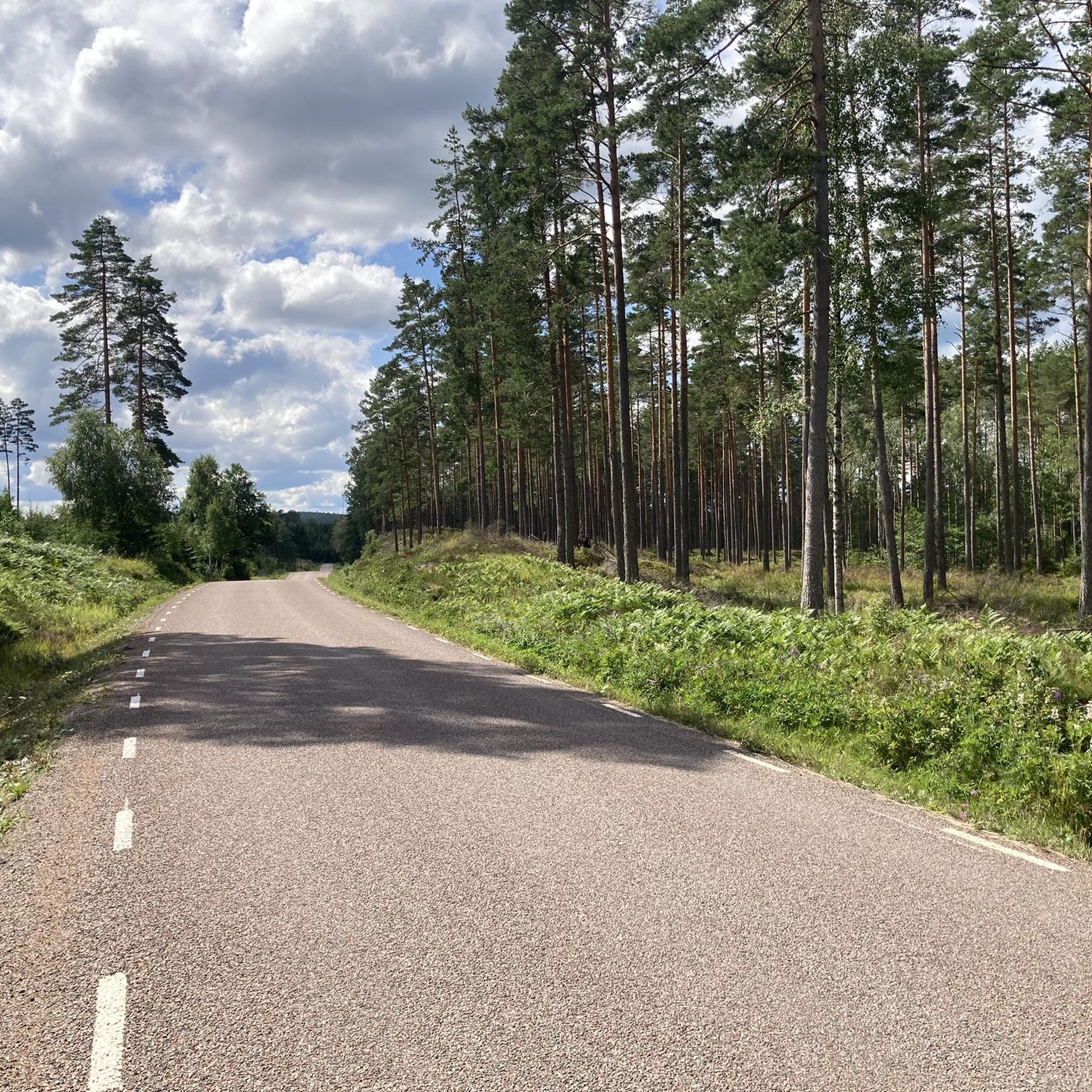
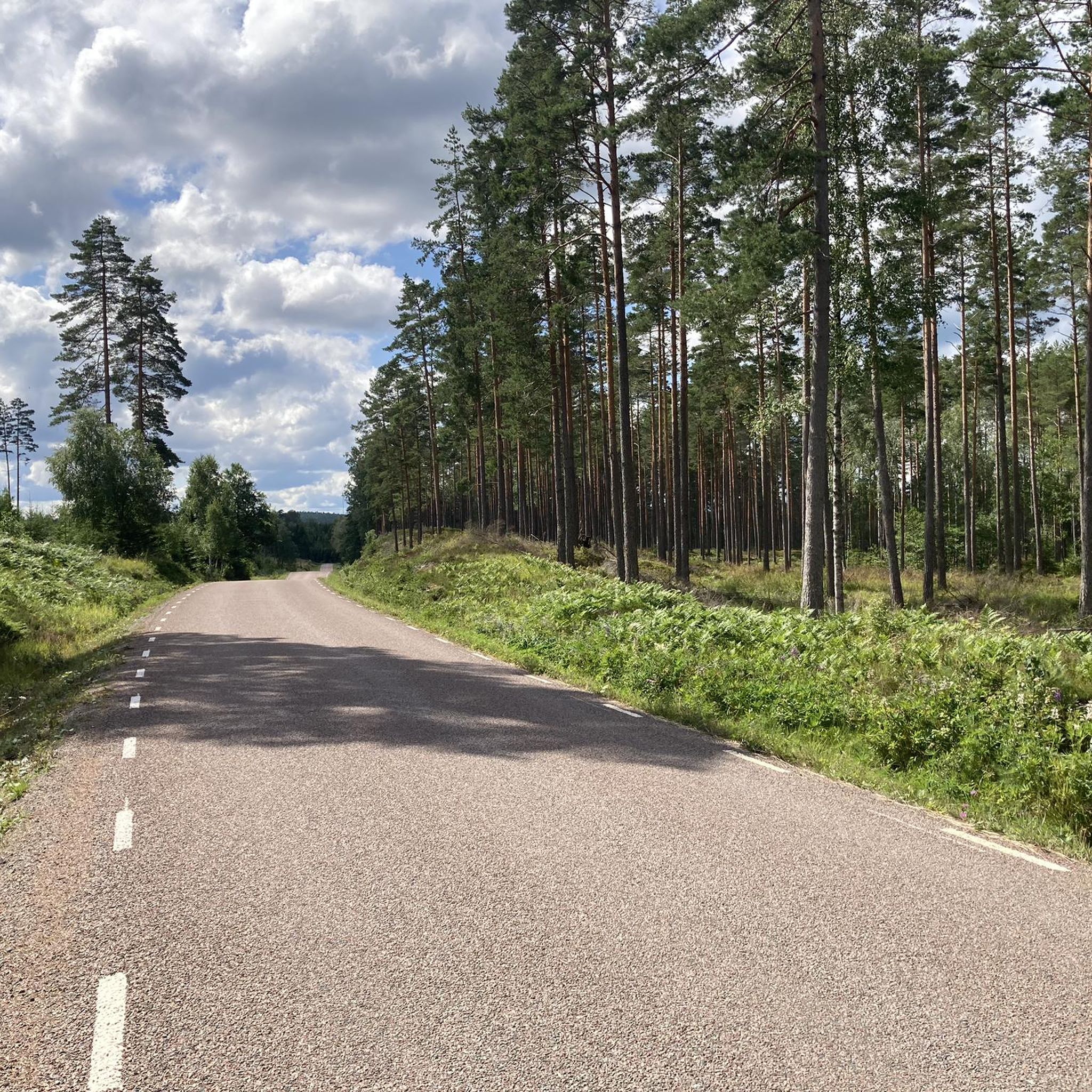
Road cycling routes around Tingvallamossens naturreservat offer cyclists the opportunity to explore the periphery of a significant marshland in Dalsland. The region is characterized by its vast marsh landscape, including a central "high-rise" bog, and offers expansive views from elevated points. While the reserve itself is a nutrient-poor environment dominated by white mosses, the surrounding areas provide varied terrain for road cyclists. The landscape transitions to fens with diverse flora, contributing to a distinct cycling experience.
Best road cycling routes…
Last updated: May 14, 2026
23
riders
71.5km
03:03
550m
550m
Moderate road ride. Good fitness required. Mostly well-paved surfaces and easy to ride.
8
riders
112km
04:54
1,000m
1,000m
Hard road ride. Very good fitness required. Some segments of this route may be unpaved and difficult to ride.

Sign up for free
1
riders
93.5km
04:07
730m
730m
Moderate road ride. Good fitness required. Mostly well-paved surfaces and easy to ride.
2
riders
75.8km
03:19
670m
670m
Moderate road ride. Good fitness required. Mostly well-paved surfaces and easy to ride.
2
riders
42.9km
01:59
280m
280m
Moderate road ride. Great for any fitness level. Some segments of this route may be unpaved and difficult to ride.
Get access to more routes and recommendations from other explorers.
Sign up for free
Already have an account?
Our route recommendations are based on thousands of hikes, rides, and runs completed by other people on komoot.
Start today with a free account
Your next adventure awaits.
Login or Signup


Tips from the Community

More than worth the admission, lovingly and interestingly designed, and very comprehensive. It's even free for kids :-)
0
0


Very interesting, there are also interesting information boards outside!
1
0

The museum offers more than its exterior suggests
4
1
The 33.5-meter-long water bridge is held together by 33,000 rivets
2
0
Tourist information, local food market, souvenir shop and activity booking
1
0
From the old train station in Bengtsfors, you can get some exercise on a handcar along the disused railway line towards Arjäng. 😜 A historic rail bus also runs to Mellerud in the summer. Timetable at: www.dvvj.se
1
0

Situated 150 metres above sea level, Lake Ärtingen covers an area of 2.65 square kilometres and reaches a depth of 21.5 metres. It is part of the Viskan drainage system and is fed by the small river Munkån, about 3 kilometres long, which connects Ärtingen to the nearby lake Öresjö.
0
0
Frequently Asked Questions
How many road cycling routes are available around Tingvallamossens naturreservat?
There are 7 road cycling routes available around Tingvallamossens naturreservat. These routes offer a variety of distances and difficulty levels, allowing cyclists to explore the unique marshland periphery.
What types of road cycling routes can I find in the Tingvallamossens naturreservat area?
The area offers a mix of road cycling routes. You can find 1 easy route, 5 moderate routes, and 1 difficult route, catering to various skill levels and preferences.
What makes road cycling around Tingvallamossens naturreservat unique?
Road cycling around Tingvallamossens naturreservat offers a unique experience due to its vast marsh landscape, including a central "high-rise" bog. Cyclists can enjoy expansive views from elevated points and observe the distinctive flora and rich birdlife of this Natura 2000 protected area from the surrounding roads.
Are there any easy road cycling routes suitable for beginners near Tingvallamossens naturreservat?
Yes, there is one easy road cycling route available. While the specific name isn't highlighted as easy in the top routes, the overall network includes options for beginners to enjoy the scenic surroundings.
What is a good moderate-difficulty road cycling route to explore the area?
A popular moderate route is the Ed Village Center loop from Ed. This 44.4-mile (71.5 km) trail features over 1,800 feet (550 meters) of elevation gain and typically takes around 3 hours 3 minutes to complete.
Are there challenging road cycling routes for experienced cyclists?
Yes, for experienced cyclists seeking a challenge, the Husetjärnen – Valsebotjärnet loop from Ed is a difficult route. It spans 69.8 miles (112.3 km) with over 3,300 feet (1010 meters) of climbing, offering a substantial workout.
Can I find circular road cycling routes around Tingvallamossens naturreservat?
Yes, many of the routes in the area are designed as loops, allowing you to start and end in the same location. Examples include the Ed Village Center – Håverud Aqueduct and Locks loop from Ed and the Risevattnet – Bölesjön loop from Ed.
Are there family-friendly road cycling options in the Tingvallamossens naturreservat area?
While the guide focuses on road cycling, which can be demanding, there is one easy route available. For families, it's recommended to check the specific route details for elevation and traffic conditions to ensure suitability for all riders.
What kind of views can I expect while road cycling around Tingvallamossens naturreservat?
Cyclists can expect panoramic views of the vast marsh landscape, including the distinctive high-rise bog and surrounding fens. From elevated points like Furukullen, you can take in sweeping vistas of this unique natural environment, rich in diverse flora and birdlife.
Are there any interesting landmarks or points of interest along the road cycling routes?
One notable landmark mentioned is the Håverud Aqueduct and Locks, which is passed by the Ed Village Center – Håverud Aqueduct and Locks loop from Ed. The routes primarily offer natural scenic beauty, focusing on the marshland and its periphery.
When is the best time of year for road cycling near Tingvallamossens naturreservat?
The best time for road cycling in this region is typically during the warmer months, from late spring to early autumn, when the weather is more stable and the natural landscape is in full bloom. This allows for comfortable riding conditions and the best views of the marshland's unique flora.
Where can I park my car when road cycling around Tingvallamossens naturreservat?
Many of the routes start from Ed, suggesting parking facilities would be available in or around the village center. It's advisable to check local parking options in Ed or other starting points before your ride.
Most popular routes around Tingvallamossens naturreservat

Get inspired with the komoot mobile app


Explore more
Browse the best Road cycling routes in other regions.
