Easy hikes and walks around Rudgwick
4.5
(1541)
8,517
hikers
53
hikes
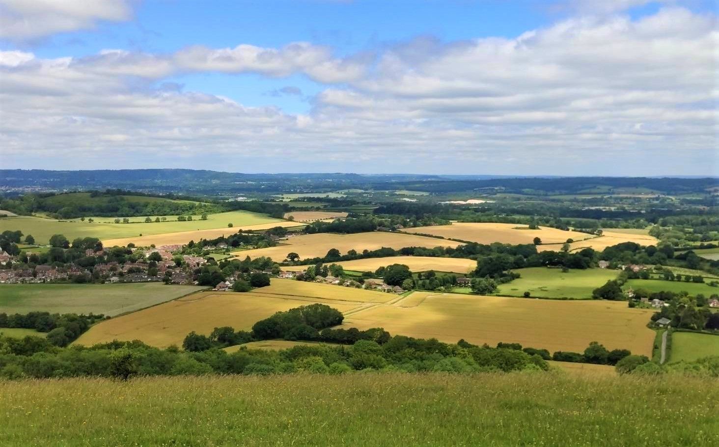
Easy hiking trails around Rudgwick traverse the Low Weald, an area characterized by open countryside, rolling hills, and ancient woodlands. The region offers varied scenery, including fields, shaws, and sections of the Arun valley. From the Rudgwick Ridge, hikers can experience views of the Surrey Hills and the South Downs. The area also provides access to the High Weald Area of Outstanding Natural Beauty.
Best easy hiking trails around Rudgwick
- The most popular easy hiking route is View of Downs…
Last updated: October 31, 2026
4.0
(6)
14
hikers
5.40km
01:25
40m
40m
Easy hike. Easily walkable paths.
14
hikers
Easy hike. Easily walkable paths.

4.5
(2)
6
hikers
Easy hike. Easily walkable paths.
7
hikers
Easy hike. Easily walkable paths.
4.0
(1)
3
hikers
6.35km
01:43
90m
80m
Easy hike. Easily walkable paths.
Get access to more routes and recommendations from other explorers.
Already have an account?
Our route recommendations are based on thousands of hikes, rides, and runs completed by other people on komoot.
Start today with a free account
Your next adventure awaits.

Tips from the Community


Some intentional trees across the path. Some maybe not. Pretty hard to get through.
0
0


Tucked away in leafy Sussex woodland, this disused railway bridge in Rudgwick is unique. The double bridge was once used to connect the village of Rudgwick to the Sussex coast and Guildford. The last trains ran here in the 1960s, but in the 1980s the Downs Link was created, using the bridge - a 37-mile link between the North and South Downs Ways.
0
0


Frequently Asked Questions
How many easy hiking trails are available around Rudgwick?
Rudgwick offers a wide selection of easy hiking trails, with over 35 routes specifically categorized as easy. In total, there are nearly 60 hiking routes in the area, catering to various preferences.
What kind of terrain can I expect on easy hikes around Rudgwick?
Easy hikes around Rudgwick primarily traverse the Low Weald, characterized by open countryside, gentle rolling hills, and ancient woodlands. Many routes follow the former railway lines of the Downs Link, ensuring mostly gentle gradients suitable for all skill levels. You'll encounter fields, wooded shaws, and sections of the Arun valley.
Are there any easy circular hiking routes in Rudgwick?
Yes, many of the easy trails around Rudgwick are circular, offering convenient starting and ending points. For example, the View of Downs Link from Bridge – Holy Trinity Church, Rudgwick loop from Rudgwick is a popular easy circular route that takes you past the historic Holy Trinity Church.
What are some notable landmarks or points of interest along easy trails in Rudgwick?
You can explore several interesting features. The The Milk Churn Coffee Shop – Rudgwick Double Bridge loop from Rudgwick takes you past the unique double bridge over the River Arun. The historic Holy Trinity Church is also a frequent sight on local loops, such as the Holy Trinity Church, Rudgwick – The Milk Churn Coffee Shop loop from Rudgwick. Further afield, you can find highlights like the Leith Hill Tower and Viewpoint and Holmbury Hill Viewpoint.
Are there any trails with good viewpoints in the Rudgwick area?
Absolutely. From the Rudgwick Ridge, many trails offer expansive views of both the Surrey Hills and the South Downs. For more panoramic vistas, consider routes that lead towards nearby attractions like the Leith Hill Tower and Viewpoint, which is the highest point in southeast England, or the Holmbury Hill Viewpoint.
Are the easy hiking trails in Rudgwick suitable for families with children?
Yes, the easy trails around Rudgwick are generally very family-friendly due to their gentle gradients and well-maintained paths, especially those along the Downs Link. Many routes are loops of manageable distances, perfect for a leisurely family outing.
Can I bring my dog on the easy hikes around Rudgwick?
Most easy hiking trails in Rudgwick are dog-friendly, offering plenty of open spaces and woodland paths for your canine companion. However, please keep dogs on a lead, especially near livestock or in nature conservation areas, and always clean up after them.
Are there any waterfalls to see on hikes near Rudgwick?
While Rudgwick itself is not known for large waterfalls, the nearby Tillingbourne Waterfall can be incorporated into longer walks, often combined with routes leading to Leith Hill Tower, offering a pleasant natural feature to discover.
What do other hikers say about the easy trails in Rudgwick?
The easy trails in Rudgwick are highly regarded by the komoot community, with an average rating of over 4 stars from nearly 400 reviews. Hikers often praise the peaceful countryside, varied scenery, and the accessibility of the routes, making them ideal for a relaxing outdoor experience.
Are there places to eat or drink near the hiking trails in Rudgwick?
Yes, Rudgwick village and its surroundings offer options for refreshments. The The Milk Churn Coffee Shop – Rudgwick Double Bridge loop from Rudgwick, for instance, passes a local coffee shop, providing a convenient stop during your hike. There are also traditional pubs in the village for a post-hike meal.
Is parking available for hikers in Rudgwick?
Yes, parking is generally available in Rudgwick village, often near the starting points of popular trails or at designated public car parks. It's advisable to check specific route descriptions for detailed parking information.
Can I access Rudgwick's hiking trails using public transport?
Rudgwick is a village in West Sussex, and while local bus services connect it to nearby towns, direct public transport access to specific trailheads might vary. Planning your route in advance and checking local bus schedules is recommended if you intend to rely on public transport.
What is the best time of year to go hiking in Rudgwick?
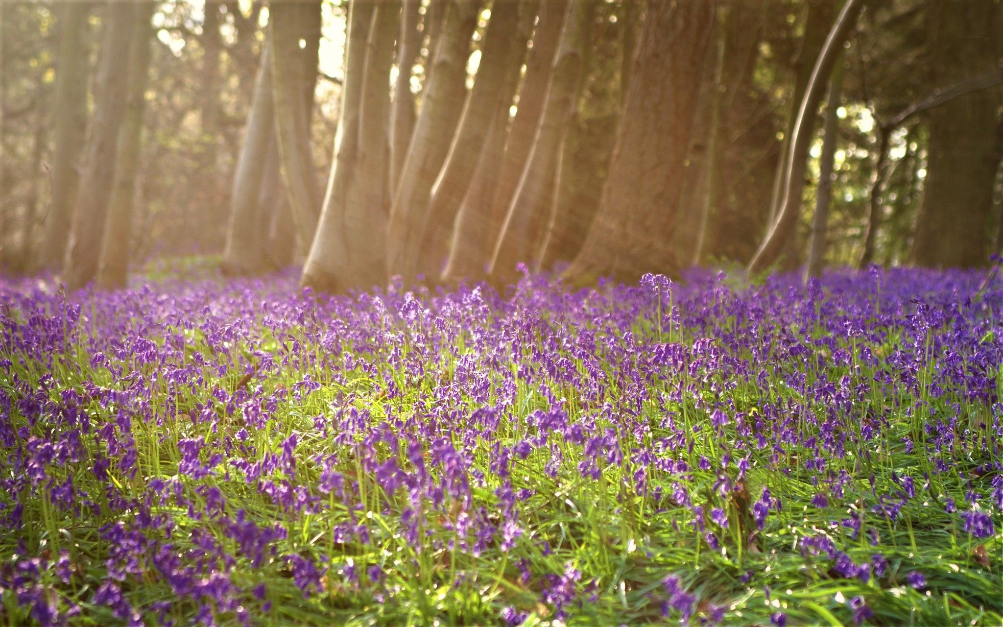
Rudgwick's easy trails are enjoyable year-round. Spring brings blooming wildflowers and fresh greenery, while autumn offers beautiful foliage. Summer is ideal for longer days, and even winter walks can be charming, especially along the well-drained paths of the Downs Link, though conditions can be muddy after rain.
Most popular routes around Rudgwick
Most popular attractions around Rudgwick

Get inspired with the komoot mobile app


Explore more
Browse the best Hikes in other regions.
