The best walks and hikes around Kirchlindach
4.2
(70)
358
hikers
27
hikes
Hiking around Kirchlindach offers diverse landscapes characterized by hilly and forested terrain, with over 33% of the surrounding area covered by forests. The region provides scenic views of the Aare River and features unique natural areas like the Büsselimoos Hochmoor. Elevated vantage points, such as the Bantiger Observation Tower and Gurten Viewpoint, offer panoramic views of the Bern-Mittelland district.
Best hiking trails around Kirchlindach
- The most popular hiking route is View of the Aare River loop from Bremgarten, a…
Last updated: September 30, 2026
4.7
(27)
134
hikers
7.97km
02:09
110m
100m
Moderate hike. Good fitness required. Easily-accessible paths. Suitable for all skill levels.
4.3
(10)
15
hikers
7.05km
01:55
100m
100m
Easy hike. Great for any fitness level. Easily-accessible paths. Suitable for all skill levels.

4.8
(11)
65
hikers
12.9km
03:30
170m
170m
Moderate hike. Good fitness required. Easily-accessible paths. Suitable for all skill levels.
4.5
(2)
15
hikers
7.27km
02:01
130m
130m
Moderate hike. Good fitness required. Easily-accessible paths. Suitable for all skill levels.
4.0
(2)
16
hikers
9.85km
02:41
150m
150m
Moderate hike. Good fitness required. Easily-accessible paths. Suitable for all skill levels.
Get access to more routes and recommendations from other explorers.
Already have an account?
Our route recommendations are based on thousands of hikes, rides, and runs completed by other people on komoot.
Start today with a free account
Your next adventure awaits.
Tips from the Community


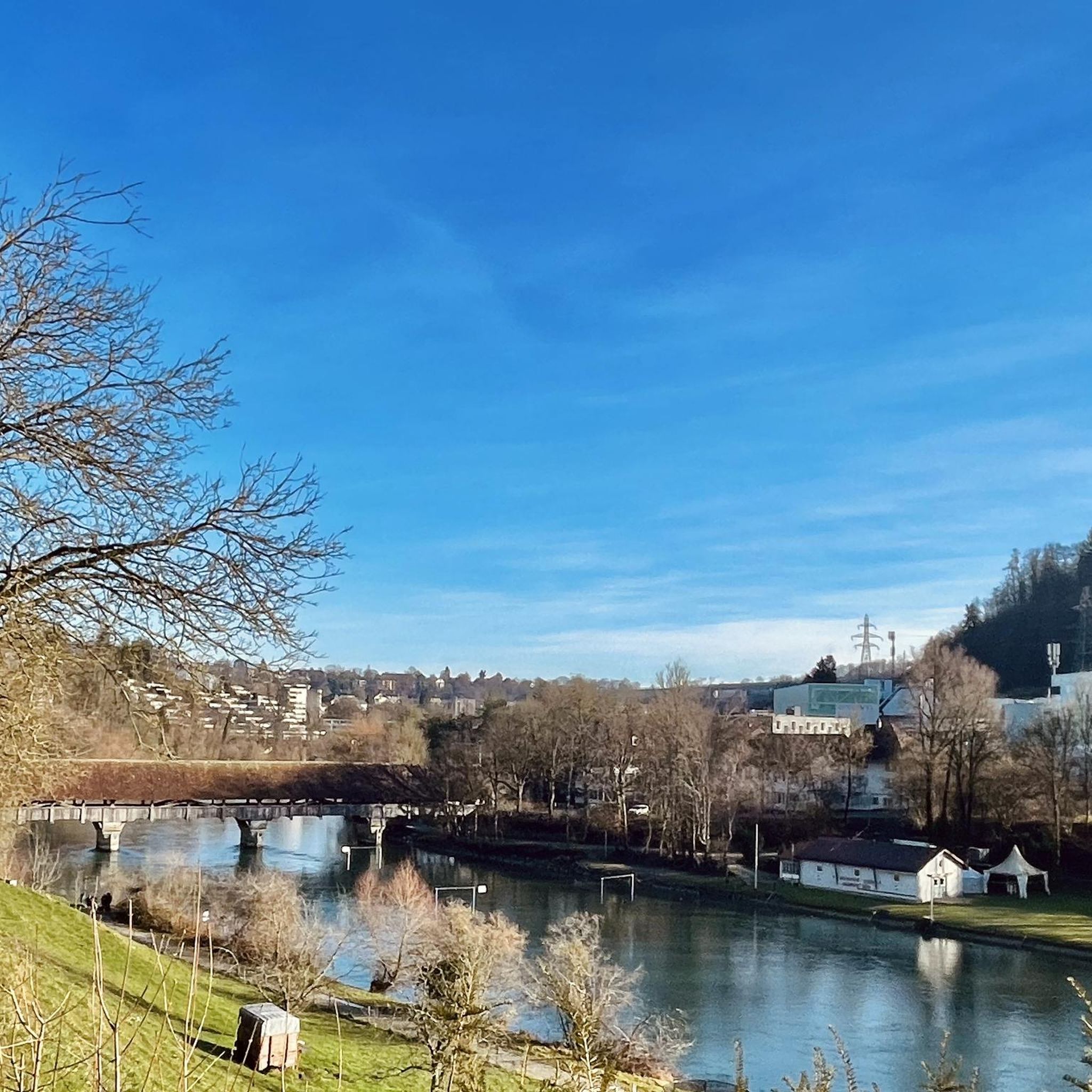
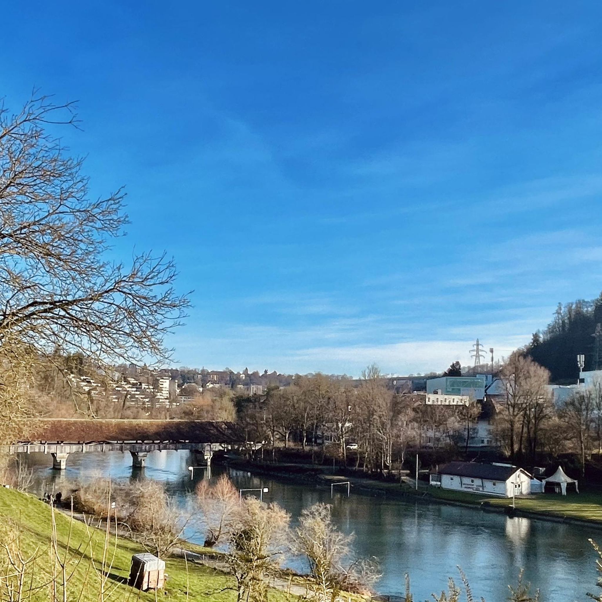
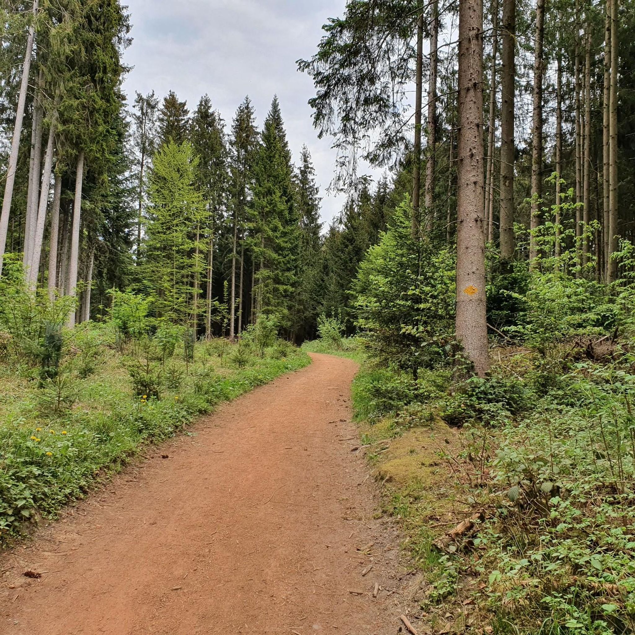
If the tunnel is too scary for you, you can easily go over it. A hiking trail leads through the forest to the road, and at the Felsenaubrücke bridge you'll descend back to the riverbank.
0
0

A short technical section (S2-S3) with many roots and stones leads down to the Stägmatte footbridge.
0
0


Beautiful in every season
0
0
Frequently Asked Questions
How many hiking trails are available around Kirchlindach?
There are over 25 hiking routes around Kirchlindach, offering a variety of experiences. These include 11 easy routes and 16 moderate routes, ensuring options for different fitness levels.
What kind of terrain can I expect on hikes in Kirchlindach?
The region around Kirchlindach is characterized by hilly and forested terrain. You'll find numerous paths winding through dense forests, providing shade on warmer days, as well as open stretches with scenic views. The area also features unique natural spots like the Büsselimoos Hochmoor.
Are there any easy hikes suitable for beginners or families?
Yes, Kirchlindach offers several easy hikes perfect for beginners or families. An excellent option is the Büsselimoos Raised Bog – View of Bern loop from Bremgarten, which is 4.4 miles (7.0 km) long and takes you through the unique Büsselimoos Hochmoor.
Can I find circular walks in Kirchlindach?
Many of the hiking routes in Kirchlindach are designed as circular walks, allowing you to start and end at the same point without retracing your steps. For example, the popular View of the Aare River loop from Bremgarten is a great circular option.
Are there routes with scenic viewpoints in the area?
Absolutely. Kirchlindach and its surroundings boast several elevated vantage points offering superb panoramic views. You can find routes leading to or near the Bantiger Observation Tower, the Gurten Viewpoint, or the Ulmizberg Observation Tower, all providing expansive vistas.
What natural features can I explore on a hike around Kirchlindach?
Hikers can enjoy diverse natural features, including picturesque views of the Aare River, especially from routes like the View of the Aare River loop from Bremgarten. The unique Büsselimoos Hochmoor is another natural highlight, offering a distinct ecosystem to explore.
Are there historical sites or landmarks along the trails?
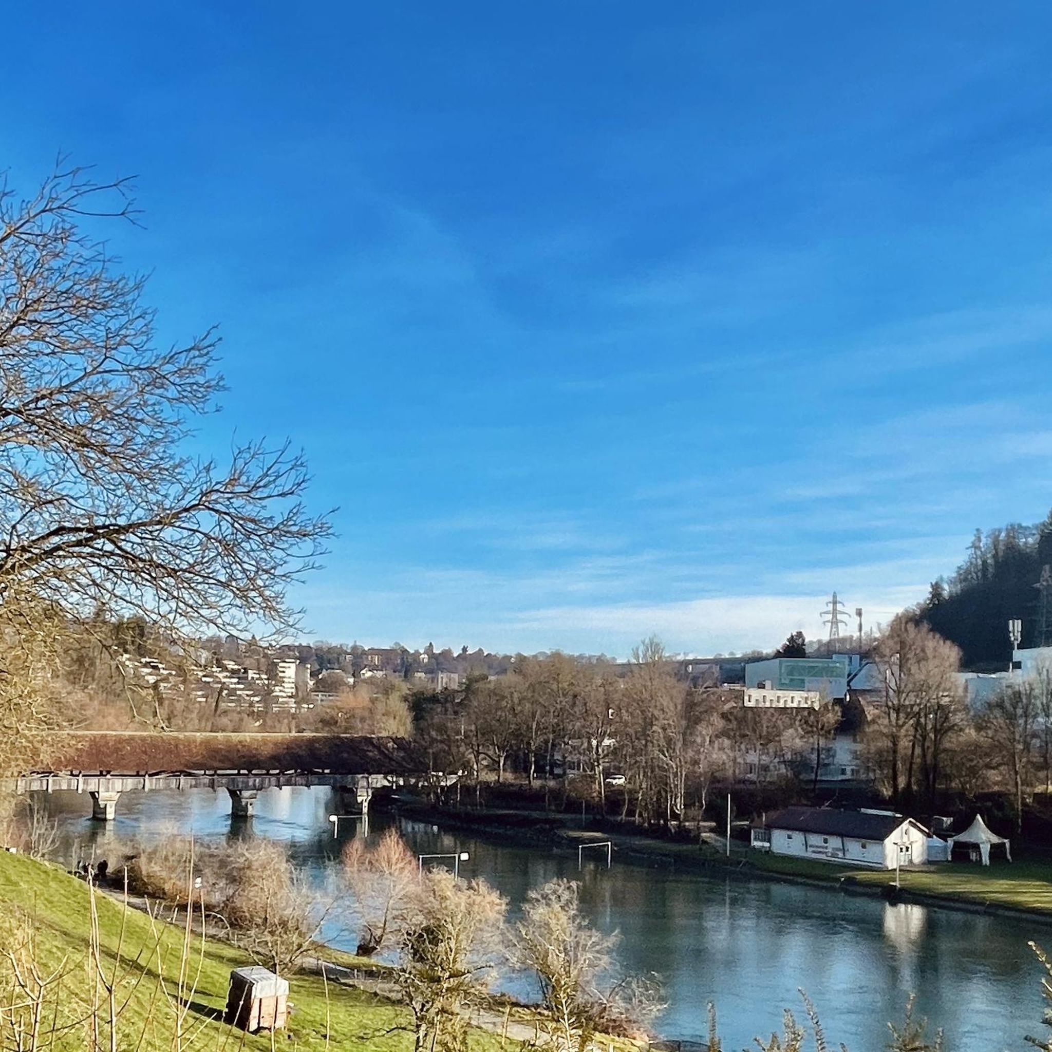
Yes, the region combines natural beauty with historical charm. You can explore routes that pass by the historic Schloss Reichenbach and its beautiful French gardens, as seen on the Restaurant Reichenbach – Reichenbach Castle loop from Bremgarten. The oldest preserved wooden bridge in the Canton of Bern, dating back to 1535, is also a notable landmark in the vicinity.
Are the hiking trails in Kirchlindach accessible by public transport?
Many routes in the Kirchlindach area are accessible by public transport, making it convenient for hikers without a car. Some routes even offer options to return to your starting point via public transport connections, such as the Aaretunnel.
Are there options for parking near the trailheads?
While specific parking details vary by trailhead, the region is generally well-equipped for visitors. Many popular starting points, especially those near villages or attractions, offer designated parking areas. It's advisable to check the route details on komoot for specific parking information for your chosen trail.
Can I hike with my dog in Kirchlindach?
Yes, Kirchlindach is a dog-friendly hiking destination. Most trails are suitable for well-behaved dogs, though it's always recommended to keep them on a leash, especially in forested areas, near livestock, or in nature reserves like the Büsselimoos Hochmoor. Always carry water for your pet and clean up after them.
What do other hikers enjoy the most about hiking in Kirchlindach?
The komoot community highly rates the hiking experience in Kirchlindach, with an average score of 4.2 stars from over 60 reviews. Hikers often praise the diverse landscapes, the combination of shaded forest paths and open views, and the well-maintained trails that cater to various fitness levels.
What is the best time of year to hike in Kirchlindach?
Kirchlindach offers enjoyable hiking experiences throughout much of the year. Spring and autumn provide pleasant temperatures and beautiful scenery, with vibrant foliage or blooming wildflowers. Summer is also popular, with forested paths offering welcome shade. While some routes may be suitable for winter, it's always best to check local conditions for snow and ice.
Most popular routes around Kirchlindach
Most popular attractions around Kirchlindach

Get inspired with the komoot mobile app


Explore more
Browse the best Hikes in other regions.
