The best cycling routes around Germersheim
4.5
(6072)
31,567
riders
703
rides
Touring cycling around Germersheim is characterized by its flat terrain, primarily following the course of the Rhine River and its associated floodplains. The landscape features extensive riverine paths, often tree-lined, and passes through agricultural areas. Elevation changes are minimal, making the region suitable for accessible cycling. The area offers a network of routes that connect various riverside towns and natural areas.
Best touring cycling routes around Germersheim
- The most popular touring cycling route is Rhine at Germersheim – Germersheim Rhine…
Last updated: October 26, 2026
4.5
(265)
1,038
riders
41.0km
02:23
100m
100m
Moderate bike ride. Good fitness required. Mostly paved surfaces.
4.5
(70)
383
riders
Hard bike ride. Very good fitness required. You may need to push your bike for some segments of this route.

4.6
(138)
470
riders
54.8km
03:19
330m
330m
Hard bike ride. Good fitness required. You may need to push your bike for some segments of this route.
4.5
(102)
476
riders
Hard bike ride. Very good fitness required. You may need to push your bike for some segments of this route.
4.7
(126)
627
riders
Moderate bike ride. Good fitness required. Mostly paved surfaces.
4.6
(154)
631
riders
Easy bike ride. Mostly paved surfaces.
4.5
(71)
267
riders
Moderate bike ride. Good fitness required. Mostly paved surfaces.
4.6
(84)
343
riders
Easy bike ride. Mostly paved surfaces.
4.6
(74)
229
riders
Moderate bike ride. Good fitness required. Mostly paved surfaces.
4.5
(51)
186
riders
Moderate bike ride. Good fitness required. Mostly paved surfaces.
Get access to more routes and recommendations from other explorers.
Already have an account?
Our route recommendations are based on thousands of hikes, rides, and runs completed by other people on komoot.
Start today with a free account
Your next adventure awaits.
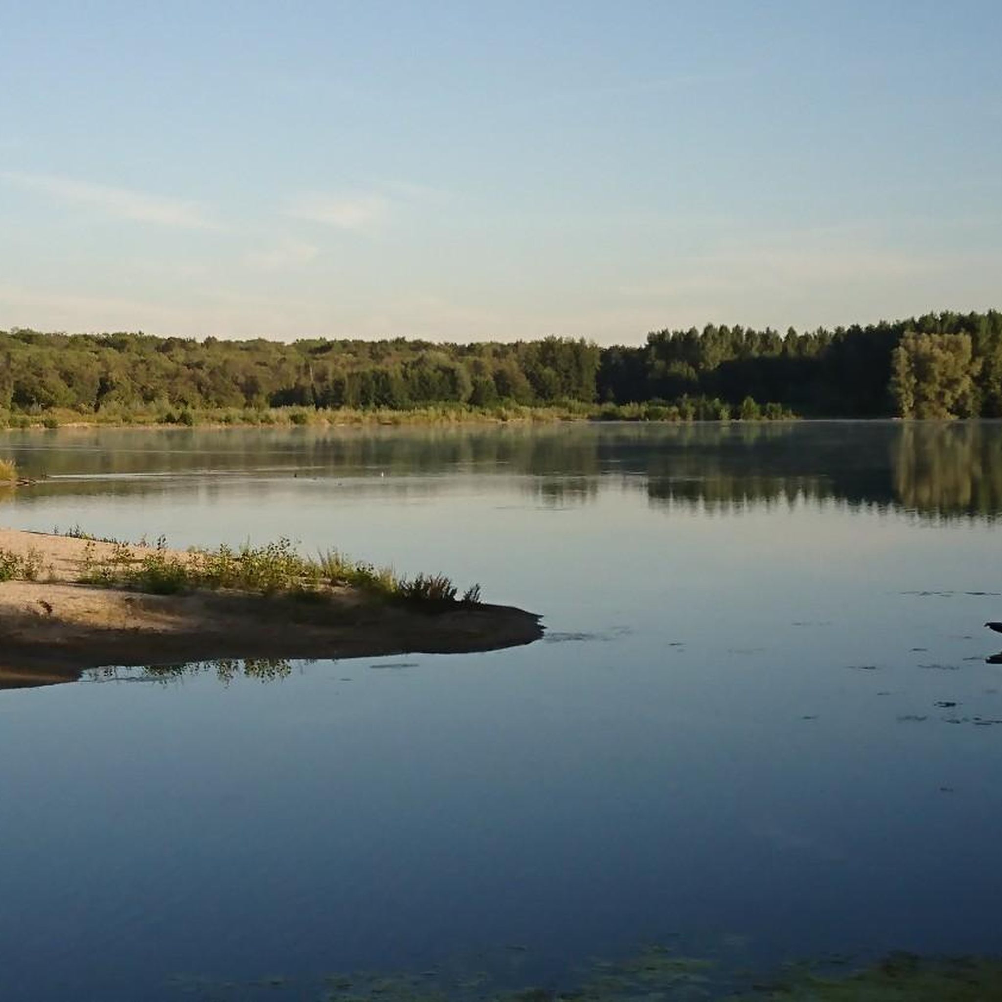
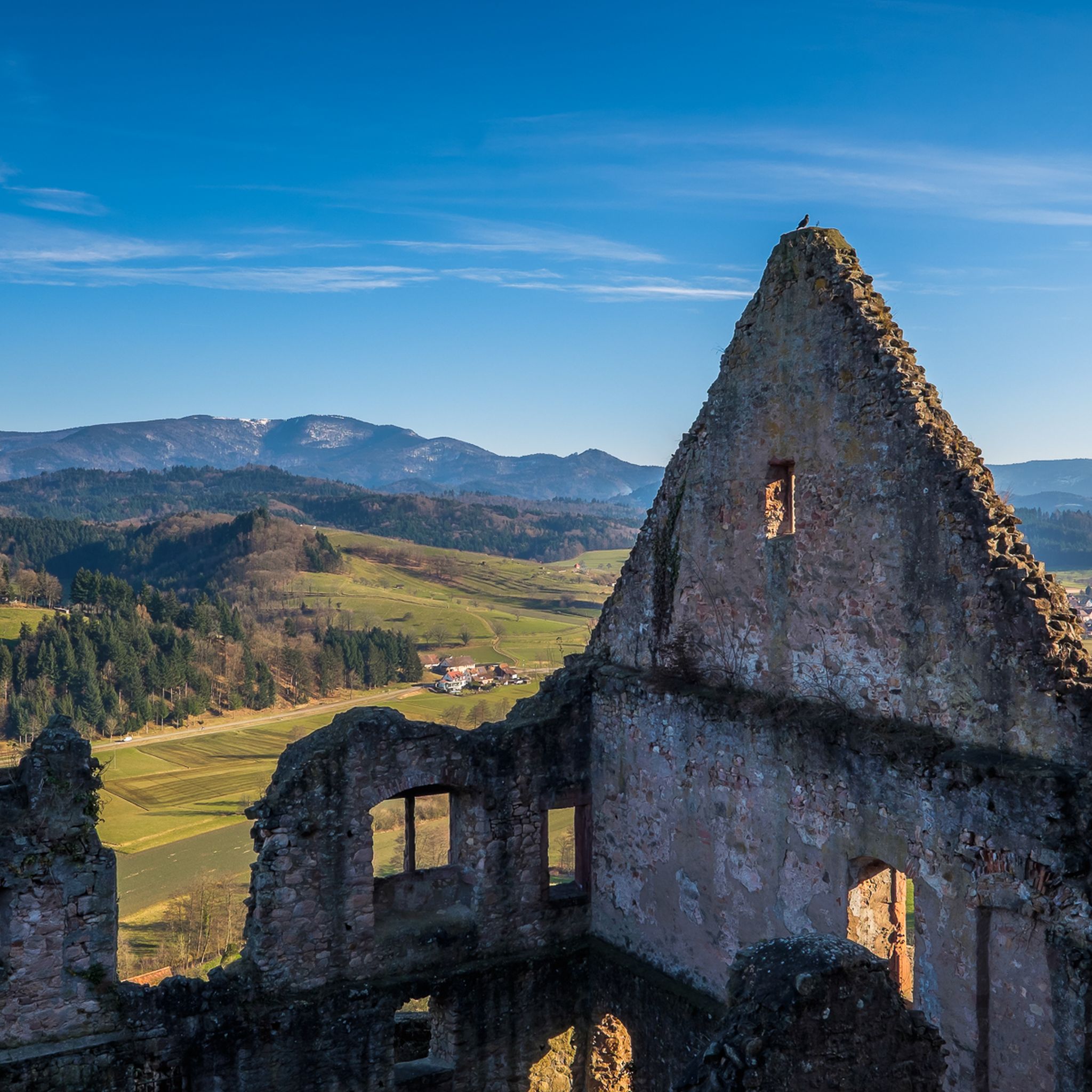


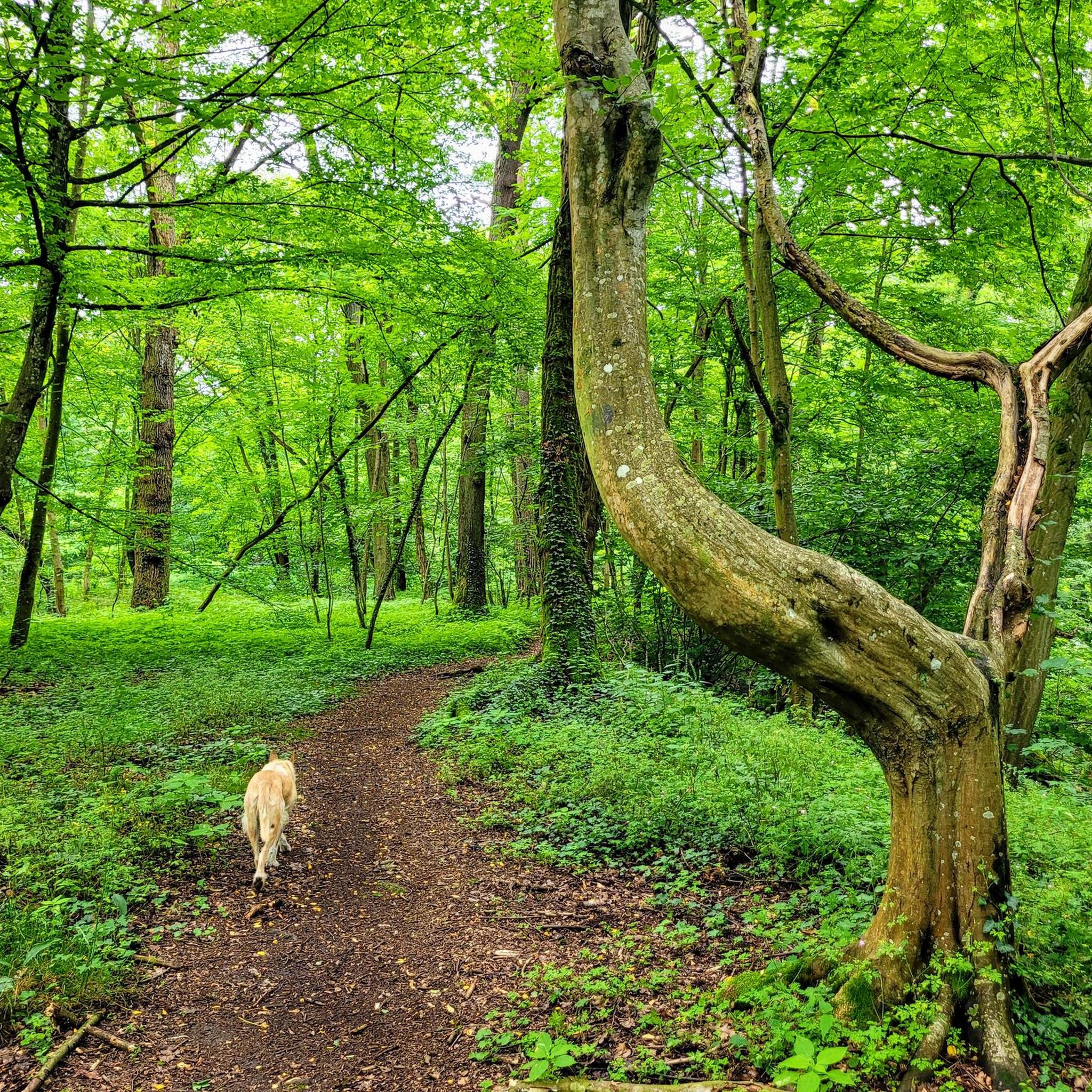


Tips from the Community

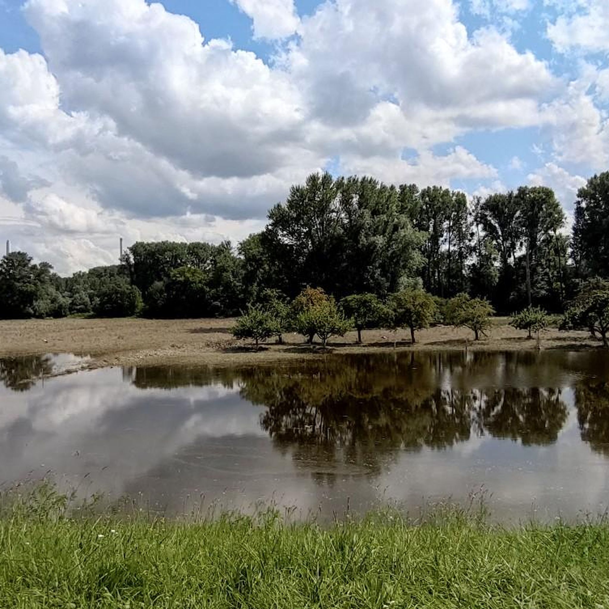
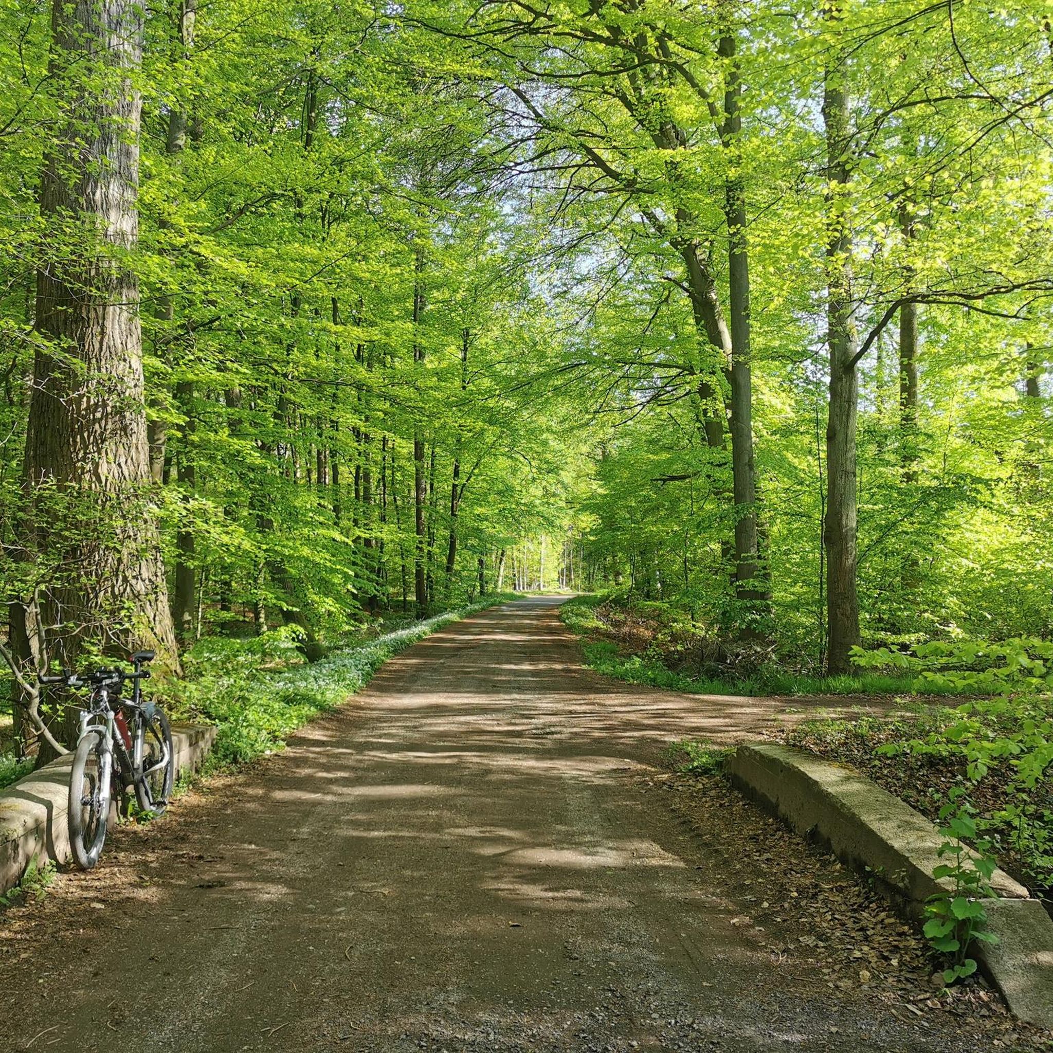
very nice cycle path, was newly asphalted at the beginning of Sept. 2026
0
0

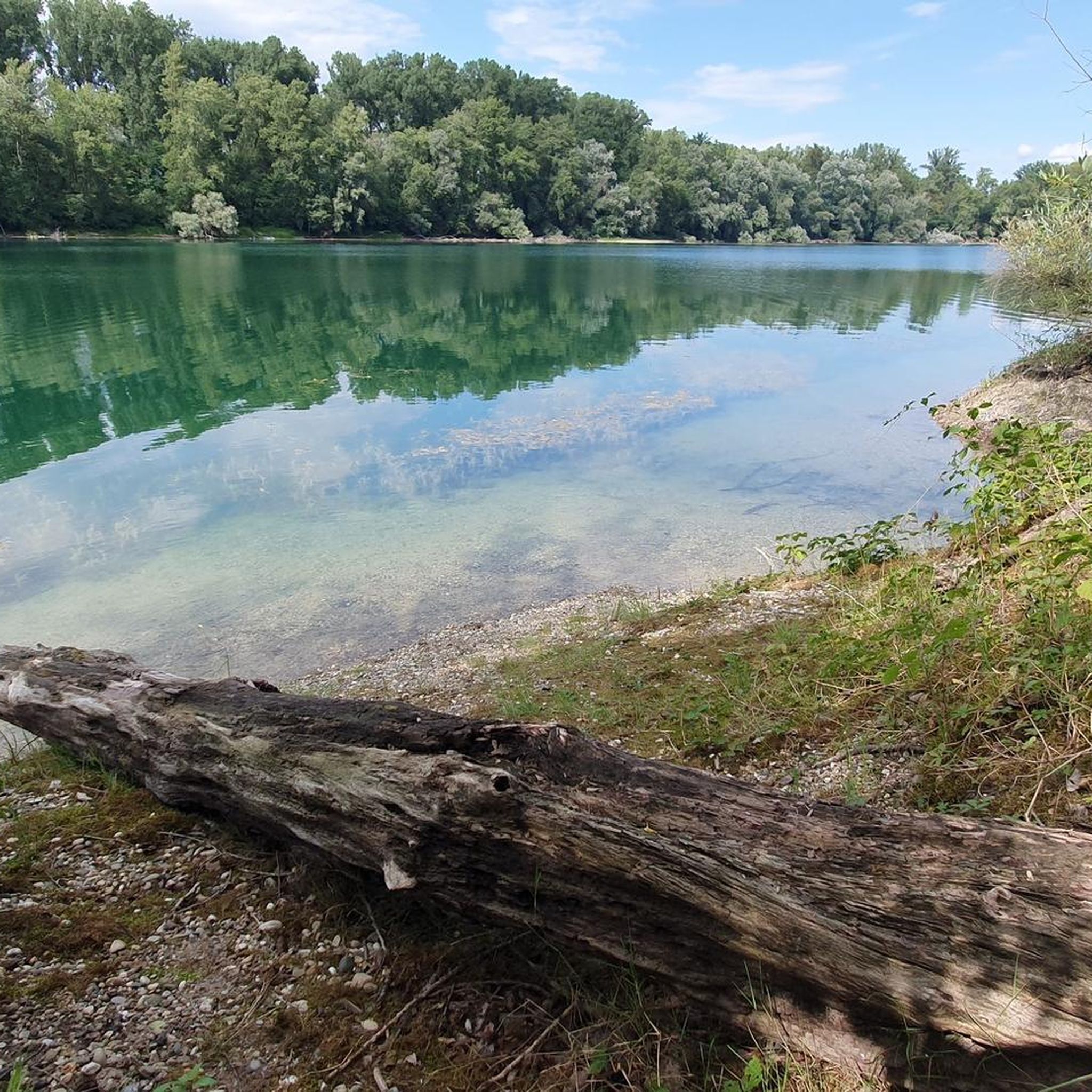
The Lautermuschel, near Neuburg at the mouth of the Lauter, a beautiful restaurant on and by the water from Wednesday to Sunday.
0
0

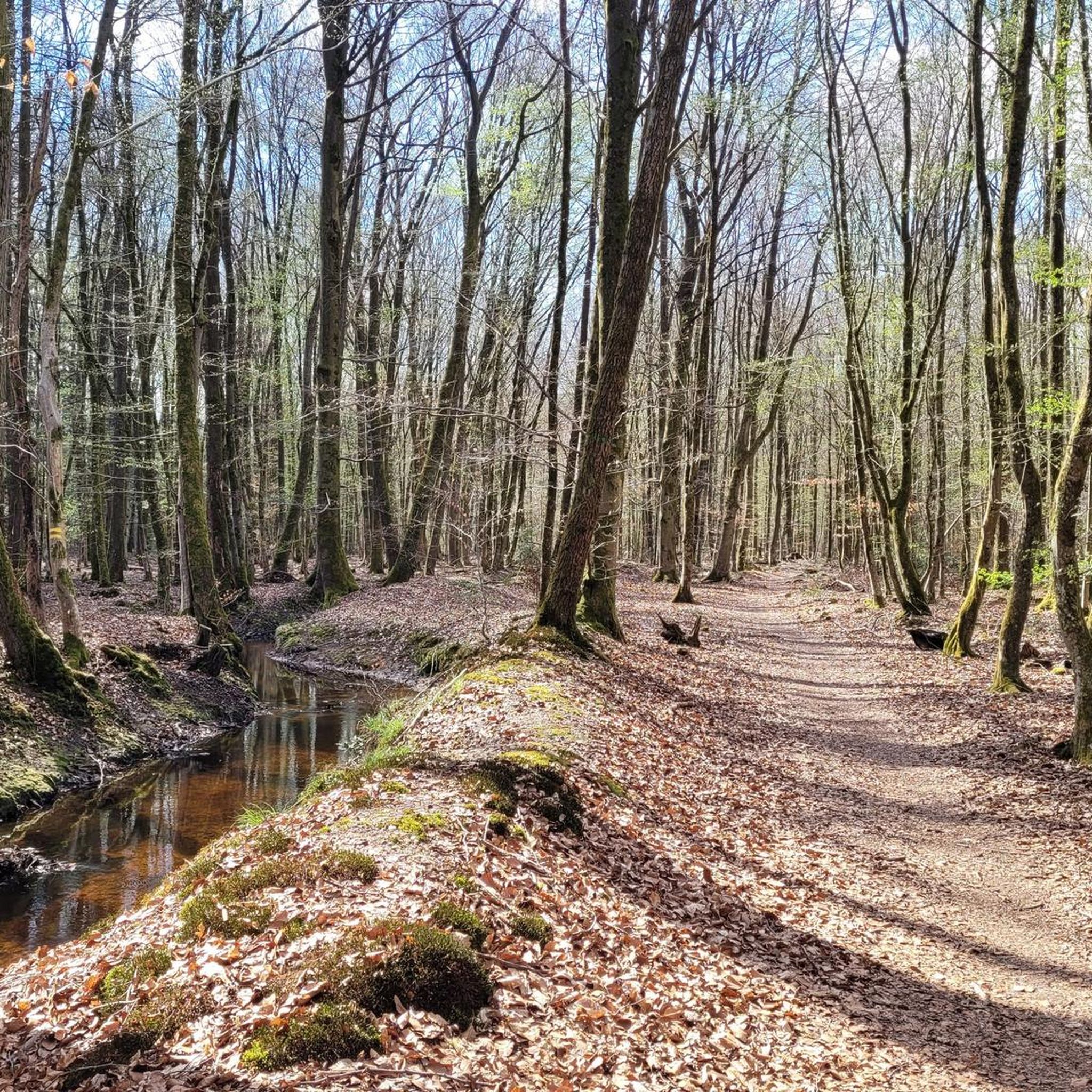
A trip along the Alb is always good by bike and also on foot
0
0

Whitewater feeling in the middle of the city park
0
0

Along the Lauter there are many alleys and paths that repeatedly offer beautiful views of the river and the half-timbered houses of the old town of Wissembourg.
6
0

Pure landscape! No matter which direction you look.
0
0

And the culinary delights are not neglected here either. The Kühler Krug brewery offers a shady beer garden. Thirst and hunger will be satisfied here, children romp on the playground within sight, summer visitors cool off in the Alb. And Mount Klotz offers an overview of the region. Live like God in France.
0
0

The Westwall was a military defense system over 600 km long during World War II. It consisted of several thousand bunkers, tunnels, trenches, minefields, and anti-tank obstacles and stretched along the western border of the then German Reich from Holland to Basel. The Westwall was built between 1936 and 1940 in three defensive lines, likely for propaganda reasons. Its French counterpart, the Maginot Line, was built between 1930 and 1936. In the Palatinate, a 10 km long anti-tank barrier ran from the Palatinate Forest near Oberotterbach through the Weißenburg Saddle to the Bienwald near Steinfeld. The second defensive line led from Göcklingen via Mörzheim, Impflingen, Insheim, in the direction of Herxheim. The anti-tank barrier was built in the form of dragon's teeth lines. Dragon's teeth made of reinforced concrete, placed in several rows and connected by a foundation, were intended to prevent enemy tanks from entering. Today, most of the Westwall has been dismantled, bunkers have been blown up. Relics of the dragon's teeth lines in the Palatinate can still be found near Steinfeld and Niederotterbach, as well as parts of the rear defensive line in Göcklingen and Mörzheim.
2
0
Frequently Asked Questions
How many touring cycling routes are available around Germersheim?
There are over 700 touring cycling routes in the Germersheim region. These routes cater to various skill levels, with more than 450 easy routes, 170 moderate routes, and nearly 80 difficult options.
What is the general terrain like for touring cycling in Germersheim?
The terrain around Germersheim is predominantly flat, characterized by paths along the Rhine River and its floodplains. You'll find extensive riverine paths, often tree-lined, and routes passing through agricultural areas. Minimal elevation changes make it suitable for accessible cycling.
Are there routes suitable for beginners or families with children?
Yes, Germersheim is very family-friendly for cycling due to its flat terrain. Many easy routes are available, such as the The course of the Rhine around Neuburg – Rhine Cycle Route near Maximiliansau loop from Maximiliansau West, which is just over 11 miles (18.6 km) and has minimal elevation gain, perfect for a relaxed family outing.
Can I find circular touring cycling routes in Germersheim?
Yes, many touring cycling routes in Germersheim are designed as loops. For example, the Lauter washhouse – Bienwaldmühle loop from Forsthaus Salmbacher Passage offers a moderate 25.5 miles (41.1 km) circular tour through varied landscapes.
What scenic viewpoints or natural attractions can I expect along the routes?
The routes often follow the Rhine, offering picturesque river views. You can also explore natural areas like the Old Rhine (Alt-Rhein) on routes such as the Cycle Path Near Rheinzabern – Old Rhine (Alt-Rhein) loop from Hagenbach. The region's floodplains and tree-lined sections provide a tranquil cycling experience.
Are there historical sites or landmarks to explore while cycling?
Absolutely. Germersheim itself has historical significance, being a former fortress town. You can find landmarks like the Ludwig Gate and Fronte Beckers, Fortress Germersheim. Some routes might pass near these, offering opportunities to combine cycling with cultural exploration.
What are the parking options for cyclists in Germersheim?
Many routes start from towns or villages with public parking facilities. For instance, routes like the Along the Rhine – Rhine Cycle Path loop from Maximiliansau Eisenbahnstraße often have starting points near accessible parking in Maximiliansau.
Is public transport accessible for reaching cycling routes in Germersheim?
Yes, Germersheim is well-connected by public transport, particularly by train. The main train station in Germersheim allows for easy access to many starting points. Some routes, like the Rhine at Germersheim – Germersheim Rhine Promenade loop from Rülzheim Bf, even begin directly from a train station, making it convenient to arrive with your bike.
Are there touring cycling routes where I can stop for a coffee or a meal?
Given the routes often pass through towns and villages along the Rhine, you'll find numerous opportunities for cafe stops and restaurants. The popular Rhine Cycle Path near Leimersheim – Tree-Lined Cycle Path loop from Germersheim Süd/Nolte, for example, goes through areas where refreshments are readily available.
Are dogs allowed on touring cycling routes around Germersheim?
Generally, dogs are welcome on most public cycling paths in the Germersheim region, provided they are kept on a leash and under control. Always be mindful of local regulations, especially in nature reserves or agricultural areas, and ensure your dog is comfortable with the distance and pace of your ride.
What do other touring cyclists enjoy most about cycling in Germersheim?
The komoot community highly rates the cycling experience in Germersheim, with an average score of 4.6 stars from over 5,400 reviews. Cyclists frequently praise the flat, well-maintained paths along the Rhine, the peaceful agricultural landscapes, and the ease of access to scenic river views.
What is the best time of year for touring cycling in Germersheim?
The spring and autumn months are generally ideal for touring cycling in Germersheim. The weather is typically mild, and the natural scenery, whether blooming in spring or showcasing autumn colors, is particularly beautiful. Summer can also be pleasant, but it's advisable to start earlier in the day to avoid the midday heat.
Are there any longer touring cycling routes for experienced riders?
For those seeking a longer challenge, Germersheim offers several routes exceeding 25 miles (40 km). The View of the Lauter – Tank Trench Steinfeld loop from Kandel is a difficult 34 miles (54.8 km) route, while the Lauter Cycle Path – Tank Trench Steinfeld loop from Maximiliansau Im Rüsten covers over 41 miles (67.3 km) with moderate difficulty, providing a good endurance test.
Most popular routes around Germersheim
Most popular attractions around Germersheim

Get inspired with the komoot mobile app


Didn’t find what you were looking for?
Check out more Cycling routes throughout Germersheim below and find the perfect route in your destination.
Explore more
Browse the best Cycling routes in other regions.
