Easy hikes and walks in Haut-Jura
4.5
(9177)
64,873
hikers
1,618
hikes
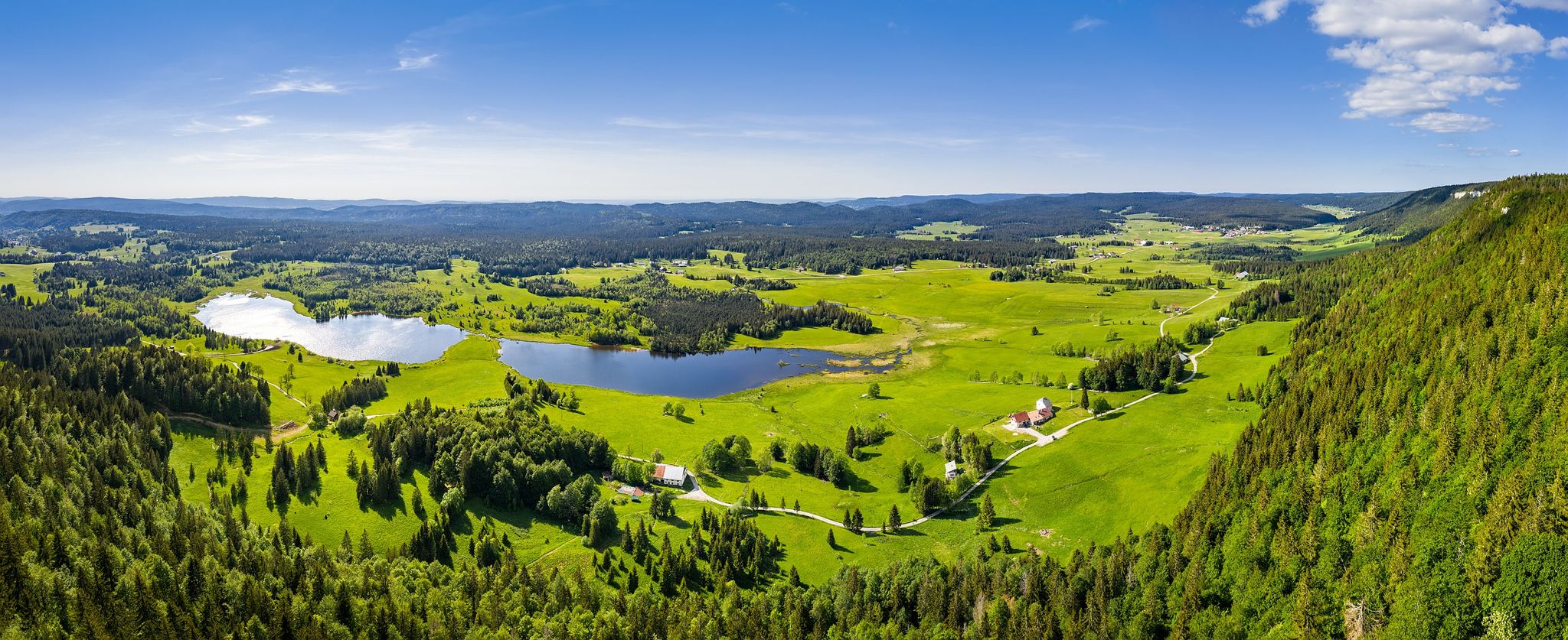
Easy hiking trails in Haut-Jura traverse a landscape shaped by its glacial past, featuring rounded hills, deep valleys, and a diverse topography. The region is characterized by picturesque natural lakes, dramatic waterfalls like the Hérisson Waterfalls, and a network of rivers carving through the terrain. Hikers can explore lush spruce forests, alpine meadows, and various valleys and gorges, including the spectacular Cirque of Baume-les-Messieurs. This area offers an extensive network of well-maintained trails suitable for a range of abilities.
Best…
Last updated: August 3, 2026
4.6
(67)
574
hikers
5.32km
01:35
160m
160m
Easy hike. Great for any fitness level. Easily-accessible paths. Suitable for all skill levels.
4.3
(15)
130
hikers
5.37km
01:28
90m
90m
Easy hike. Great for any fitness level. Easily-accessible paths. Suitable for all skill levels.

Sign up for free
4.9
(28)
168
hikers
4.30km
01:14
90m
90m
Easy hike. Great for any fitness level. Easily-accessible paths. Suitable for all skill levels.
4.6
(17)
88
hikers
6.68km
01:56
170m
170m
Easy hike. Great for any fitness level. Easily-accessible paths. Suitable for all skill levels.
4.7
(57)
299
hikers
6.02km
01:44
130m
130m
Easy hike. Great for any fitness level. Easily-accessible paths. Suitable for all skill levels.
Get access to more routes and recommendations from other explorers.
Sign up for free
Already have an account?
Our route recommendations are based on thousands of hikes, rides, and runs completed by other people on komoot.
Start today with a free account
Your next adventure awaits.
Login or Signup
Popular around Haut-Jura
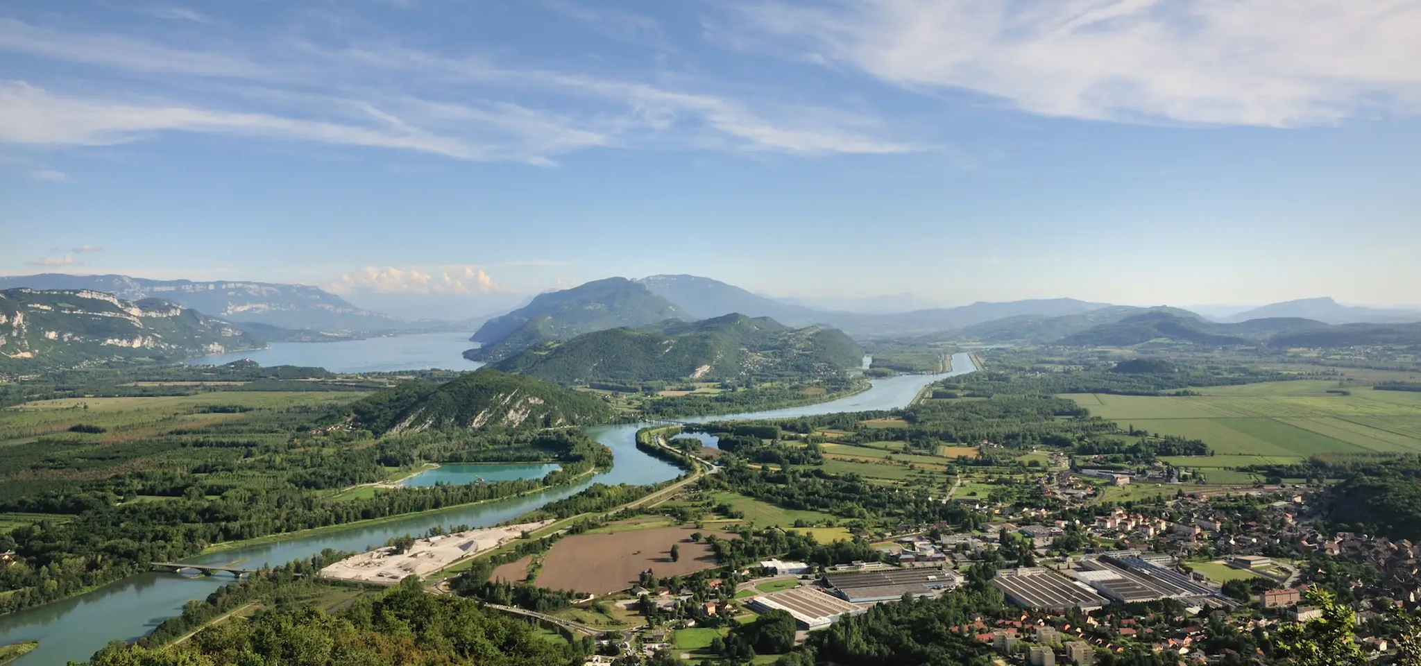
GR 9 from the Jura to the Mediterranean – Crossing contrasts
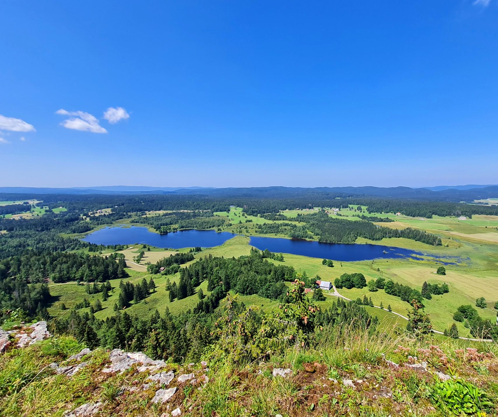
The Europe Trail – GR 5 from Nyon to Montbéliard
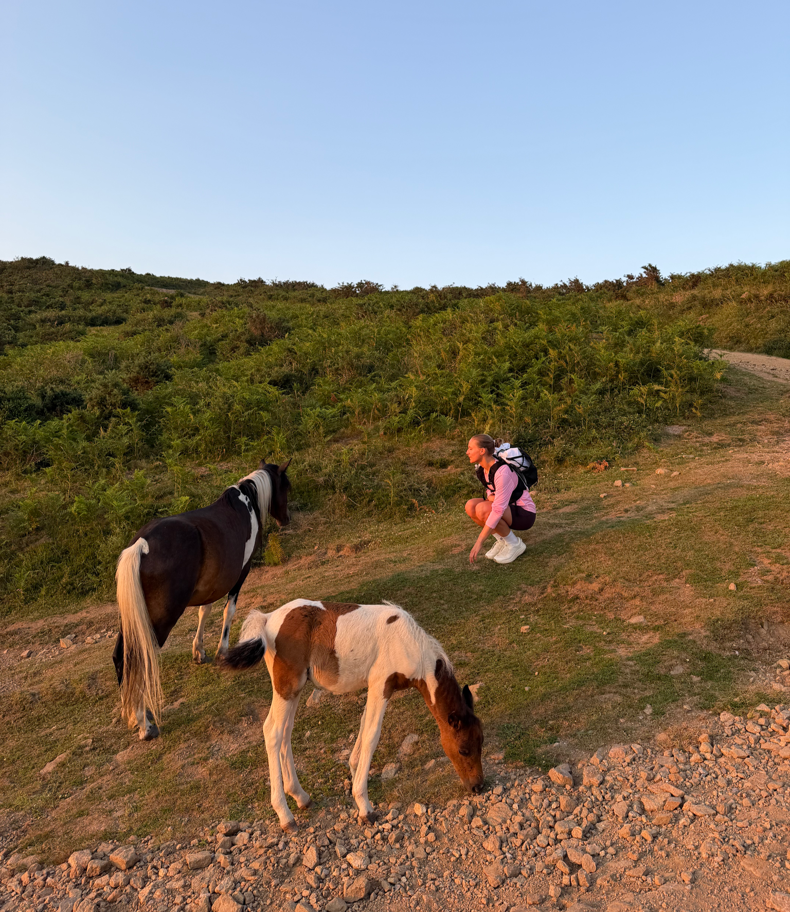
France’s Best Sunrise & Sunset Hikes
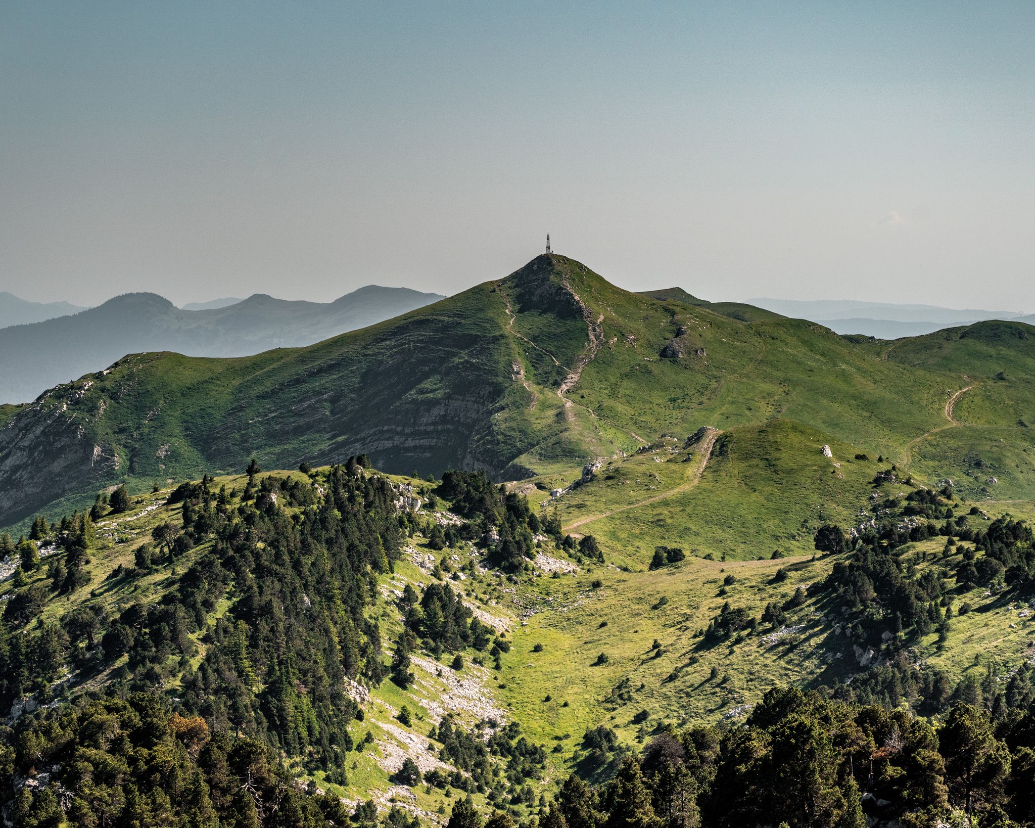
GRP Grand Tour de la Valserine
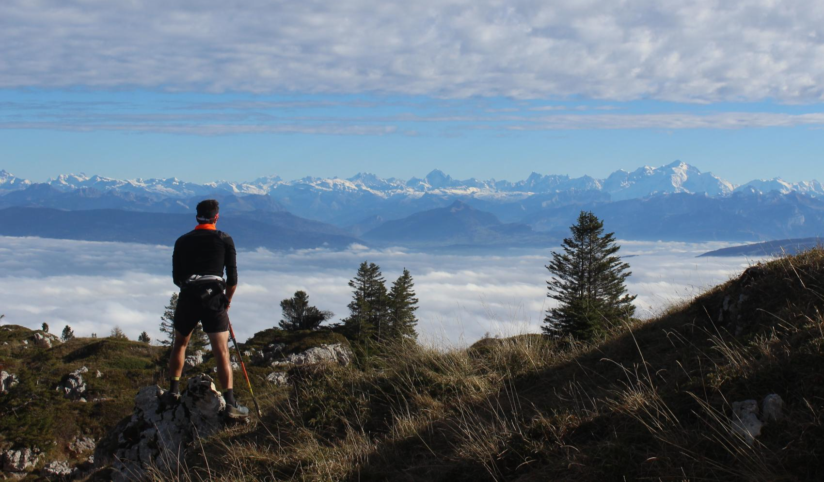
From Crêts to Combes
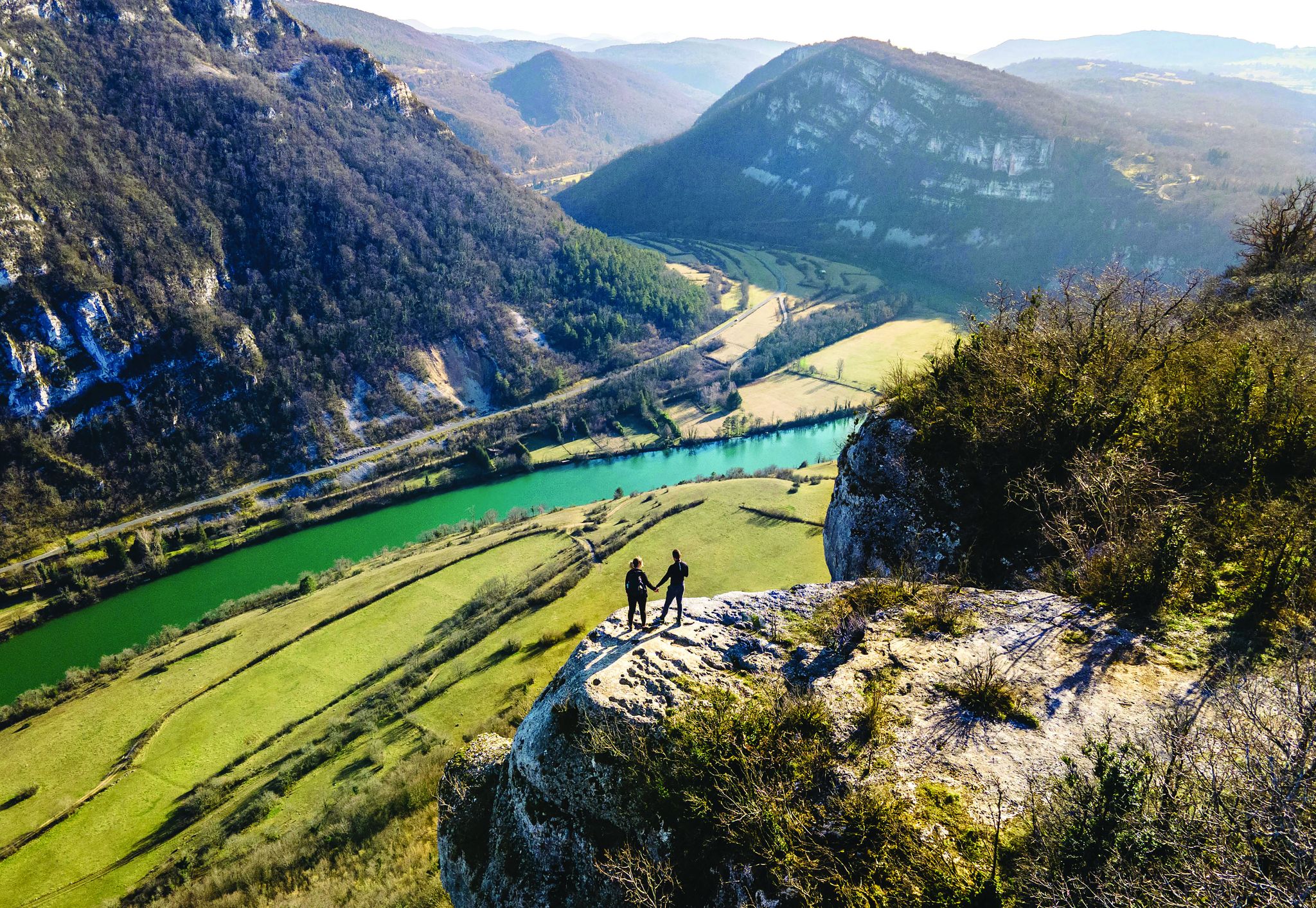
Secrets of the Ain – 10 wonderful watery hikes

Hiking to the summits – France's highest points
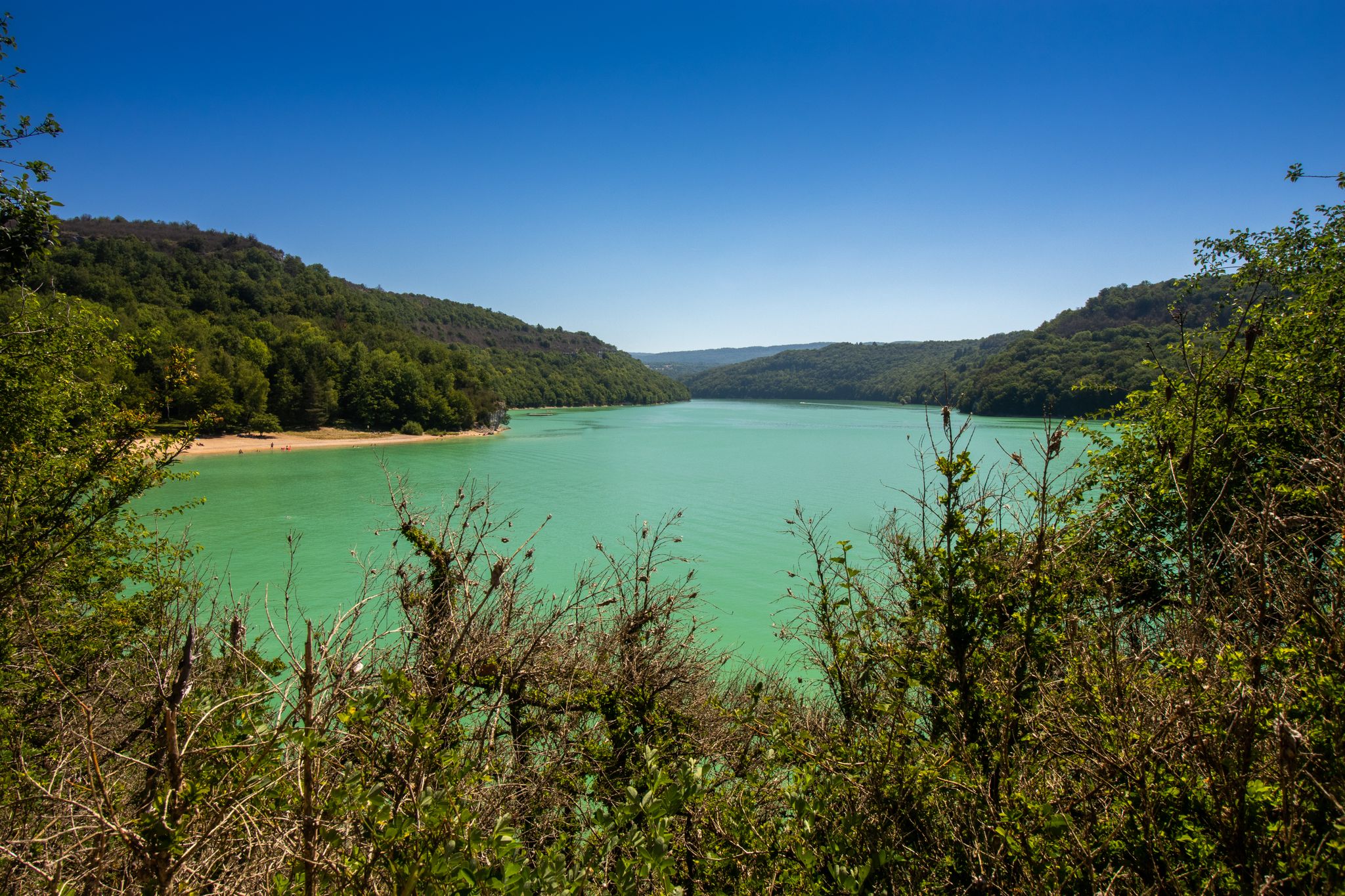
Between beaches and forest lookouts – GRP Tour du Lac de Vouglans
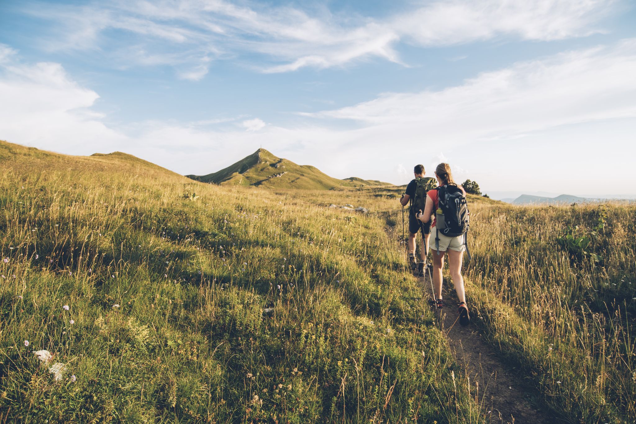
The thousand faces of the Jura Mountains – Grande Traversée du Jura on foot
Hike from the vineyards to the peaks of the Jura – the Jurassic Escape
Other adventures in Haut-Jura


Tips from the Community

Cool passage, definitely take a lamp.
0
0

Viewpoint above the Doubs source with beautiful views through a forest clearing to Mouthe and the Doubs river.
6
0
The source of the Doubs River is a powerful karst spring in a heavily karstified area of the Jura Mountains. It lies at an altitude of 937 meters at the foot of the forested, up to 1,419-meter-high Mont Risoux mountain range, which straddles the border between France and Switzerland. The Doubs River rises from a small, approximately five-meter-deep spring basin in a cave in the rock.
6
0
Old washhouse with floral decorations and drinking water fountain.
7
0
Old railway bridge on the Clairvaux-Forcines line with a view of La Saine.
1
0
A former mill with a dam located directly on the La Saine River. A small bridge leads to the mill, offering a good view of the water.
1
0
Tunnel with stream and pedestrian path as an underpass of the former railway line.
8
0
Frequently Asked Questions
How many easy hiking trails are available in Haut-Jura?
Haut-Jura offers a wide selection of easy hiking trails, with over 490 routes suitable for beginners and those looking for a relaxed walk. The region's diverse landscape, shaped by its glacial past, provides a beautiful backdrop for these accessible adventures.
What do other hikers enjoy most about the easy trails in Haut-Jura?
The easy hiking trails in Haut-Jura are highly rated by the komoot community, with an average score of 4.5 stars from over 7,600 reviews. Hikers frequently praise the well-maintained paths, the stunning natural scenery, and the variety of landscapes, from serene lakes to lush forests.
Are there any easy circular walks in Haut-Jura?
Yes, Haut-Jura features several enjoyable easy circular walks. A popular choice is the Lac des Rousses — loop in the Parc Naturel Régional du Haut-Jura, which offers picturesque views around the lake. Another great option is The source of the Doubs — loop in the Haut-Jura Regional Natural Park, leading through varied natural landscapes.
Which easy trails offer the best viewpoints in Haut-Jura?
For stunning vistas on an easy hike, consider The Turet viewpoint - Haut-Jura regional natural park. This route provides scenic views within the regional natural park. Additionally, the region boasts panoramic spots like the Three Lakes Viewpoint and the iconic Pic de l'Aigle, which can be accessed via various trails.
Can I find easy trails that pass by waterfalls in Haut-Jura?
Absolutely! Haut-Jura is renowned for its beautiful waterfalls. While the famous Hérisson Waterfalls offer a longer trail, you can find other accessible options. The Langouette Gorges loop from Chaux-des-Crotenay allows you to experience the dramatic Langouette Gorges and its cascades. The Saut Girard Waterfall is another natural highlight worth exploring.
Are there easy hikes suitable for families with children?
Many easy trails in Haut-Jura are perfect for families. The Lac des Rousses loop is a great family-friendly option, offering gentle terrain and beautiful lake views. The region's well-maintained paths and diverse natural features make it an engaging environment for children to explore.
What kind of natural attractions can I expect to see on easy hikes in Haut-Jura?
On easy hikes in Haut-Jura, you'll encounter a rich variety of natural attractions. These include picturesque lakes such as Petit Maclu Lake, Lake Ilay, and Lake Narlay, often nestled within peat bogs. You'll also discover lush spruce forests, alpine meadows, and dramatic gorges like the Langouette Gorges.
Are there easy trails that go around lakes?
Yes, Haut-Jura is dotted with beautiful lakes, and several easy trails offer scenic loops around them. Besides the popular Lac des Rousses loop, you can also explore Around the lakes of Étival — loop in the Haut-Jura Regional Natural Park, which provides a tranquil experience through the natural park's aquatic landscapes.
What is the best time of year for easy hikes in Haut-Jura?
The best time for easy hikes in Haut-Jura is generally from late spring to early autumn (May to October). During these months, the weather is mild, the landscapes are vibrant, and the trails are typically clear of snow, offering ideal conditions for exploring the region's natural beauty.
Are easy trails in Haut-Jura generally dog-friendly?
Many easy trails in Haut-Jura are suitable for dogs, allowing you to enjoy the natural beauty with your canine companion. However, it's always recommended to keep dogs on a leash, especially in protected areas or near livestock, and to check specific trail regulations or park rules beforehand to ensure a pleasant experience for everyone.
Are there any easy trails accessible by public transport in Haut-Jura?
While specific public transport links to every trailhead can vary, some towns and villages in Haut-Jura, such as Les Rousses, are served by local bus routes. From these points, you can often find easy trails within walking distance. For example, the Lac des Rousses loop is easily accessible from the village of Les Rousses.
What should I bring for an easy hike in Haut-Jura?
Even on easy hikes, it's wise to be prepared. Essential items include comfortable walking shoes, water, snacks, sun protection (hat, sunscreen), and a light rain jacket, as mountain weather can change quickly. A map or a navigation app like komoot is also recommended to stay on track and discover points of interest.
Most popular routes in Haut-Jura
Most popular attractions in Haut-Jura

Get inspired with the komoot mobile app


