Easy hikes and walks around Happurger Stausee
4.6
(14975)
55,253
hikers
1,149
hikes
Easy hiking trails around Happurger Stausee are set within the Hersbrucker Alb region of Bavaria, Germany, characterized by an artificial lake surrounded by hills such as Houbirg, Deckersberg, and Reicheneck. The terrain features a mix of flat, partly graveled paths around the lake and gentle ascents into the surrounding forested areas. This landscape provides varied options for accessible outdoor exploration.
Best easy hiking trails around Happurger Stausee
- The most popular easy hiking route is Happurg Reservoir – View of Lake…
Last updated: October 4, 2026
4.7
(438)
1,936
hikers
4.22km
01:06
30m
30m
Easy hike. Great for any fitness level. Easily-accessible paths. Suitable for all skill levels.
5.0
(2)
45
hikers
2.68km
00:41
10m
10m
Easy hike. Great for any fitness level. Easily-accessible paths. Suitable for all skill levels.

9
hikers
3.54km
00:56
30m
30m
Easy hike. Great for any fitness level. Easily-accessible paths. Suitable for all skill levels.
7
hikers
1.54km
00:24
10m
10m
Easy hike. Great for any fitness level. Easily-accessible paths. Suitable for all skill levels.
3.8
(5)
17
hikers
6.37km
01:53
180m
180m
Easy hike. Great for any fitness level. Easily-accessible paths. Suitable for all skill levels.
Get access to more routes and recommendations from other explorers.
Already have an account?
Our route recommendations are based on thousands of hikes, rides, and runs completed by other people on komoot.
Start today with a free account
Your next adventure awaits.
Popular around Happurger Stausee


Tips from the Community


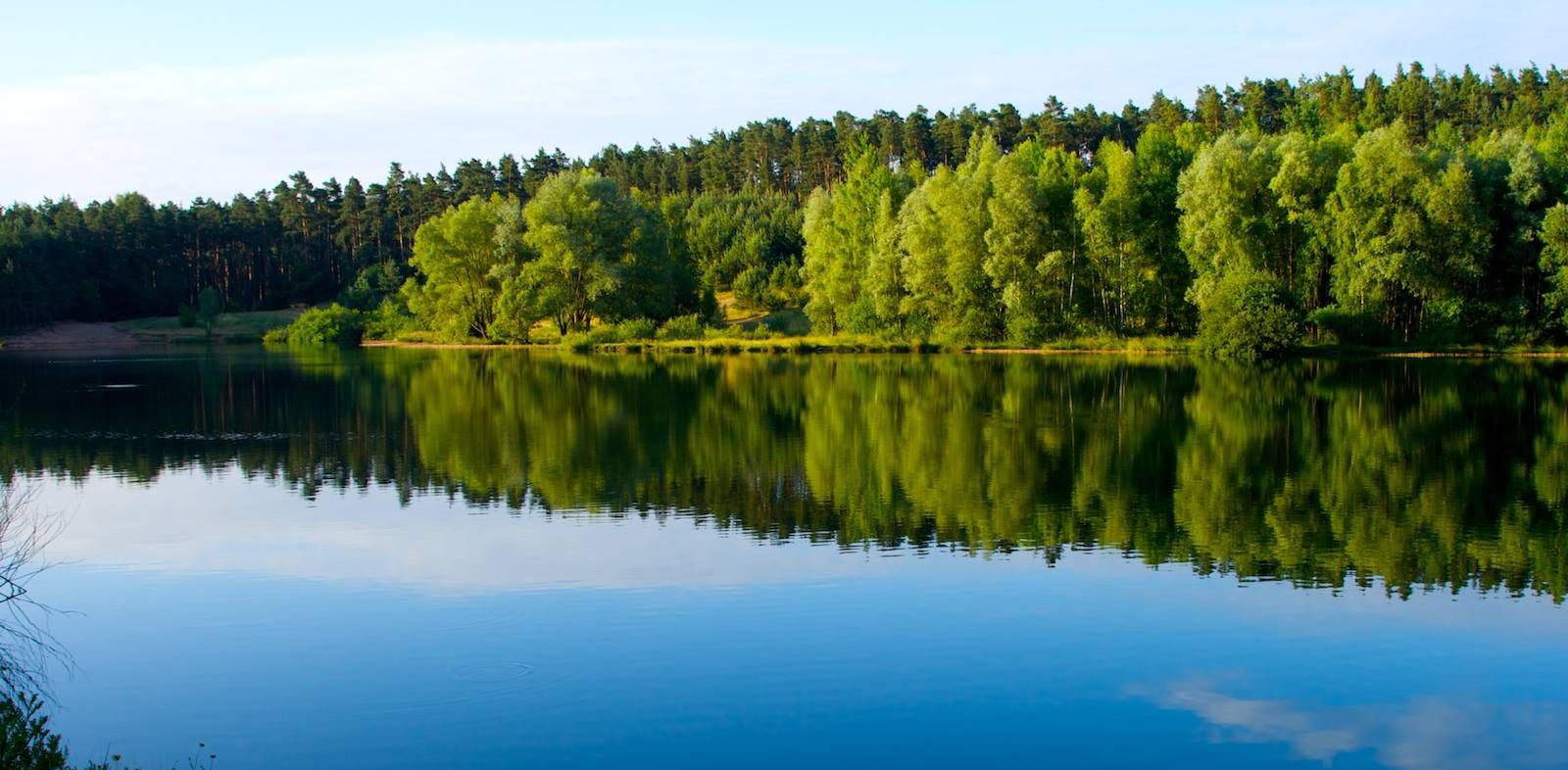
Beautiful bathing lake with many small bays where you can be alone.
3
0

Nice tour in about 2 hours.
0
0

Paddling across the lake with a SUP is an ideal way to end a hike in good weather.
0
0

Beautiful reservoir, great place to take a break🥰
2
0

It was too cold even to sit down 🥶
0
0

The lake is fed by the Happurger Bach and its left tributary, the Kainsbach. The Happurg pumped-storage power plant, which began operation in 1958 and is owned by Großkraftwerk Franken AG (later acquired by E.ON and now part of Uniper), used the lake as its lower reservoir. The associated upper reservoir is located on the Deckersberg. The lake's average size is approximately 55 hectares. The lake takes its name from the neighboring village of Happurg. It was built by the Nuremberg architect and Nuremberg Culture Prize winner Franz Reichel. As early as 1962, the upper reservoir drained through underground cavities and crevices into which the water from the upper reservoir seeped away. Following further seepage of the water supply, the power plant has been out of operation since January 2011. Renovation work was repeatedly postponed, and completion was initially planned for 2016. As early as 2013, the recommissioning was postponed to 2017 following the submission of the renovation report.
0
0

It's always worth exploring this area! Have fun!
0
0
Frequently Asked Questions
How many easy hiking trails are available around Happurger Stausee?
There are over 500 easy hiking trails around Happurger Stausee, offering a wide variety of options for accessible outdoor exploration. The komoot community has explored more than 18,000 routes in the area.
What kind of terrain can I expect on easy hikes around Happurger Stausee?
Easy hikes around Happurger Stausee feature a mix of terrain. You'll find mostly flat, partly graveled and paved paths, especially around the lake itself. Some routes also include gentle ascents into the surrounding forested areas of the Hersbrucker Alb.
Are there family-friendly easy hikes suitable for strollers around Happurger Stausee?
Yes, the circular trail around Happurger Stausee is particularly suitable for families with strollers, as it is mostly flat and partly paved. Routes like the Happurg Reservoir – View of Lake Happurg loop from Happurg offer continuous scenic views and accessible paths.
What are some notable landmarks or viewpoints I can see on easy hikes?
Many easy hikes offer views of the Happurger Stausee itself. You can also find routes that pass by the Happurg Reservoir Panorama Trail or offer panoramic views of the lake. The area is surrounded by hills like Houbirg and Arzberg, providing scenic backdrops.
Are there any circular easy hikes around Happurger Stausee?
Yes, many easy trails around Happurger Stausee are circular routes. Popular options include the Happurg Reservoir – View of Lake Happurg loop from Happurg and the View of the Valley – View of Lake Happurg loop from Happurg, both offering beautiful scenery in a loop format.
What do other hikers say about the easy trails in Happurger Stausee?
The easy trails in Happurger Stausee are highly rated by the komoot community, with an average score of 4.6 stars from over 4,000 reviews. Hikers often praise the scenic views of the lake, the well-maintained paths, and the accessibility for various fitness levels.
Is there parking available for easy hikes around Happurger Stausee?
Yes, there are several parking areas around Happurger Stausee, especially near the main access points in Happurg. These are generally well-situated for starting various hiking routes, including the easy lakeside paths.
Can I reach the trailheads for easy hikes by public transport?
Happurg, the main town near the Stausee, is generally accessible by public transport. From there, many easy trailheads, particularly those around the lake, are within walking distance. It's advisable to check local bus schedules for specific connections to different starting points.
Are there places to eat or get refreshments near the easy hiking trails?
Yes, the Café-Restaurant Seeterrassen is situated directly by the lake, offering a convenient stop for refreshments with scenic views. There are also other establishments in Happurg itself.
What is the best time of year to enjoy easy hikes around Happurger Stausee?
The Happurger Stausee region is beautiful year-round. Spring and autumn offer pleasant temperatures and vibrant natural colors, while summer is ideal for combining hiking with other water-based activities. Even in winter, the easy, flat paths around the lake can be enjoyed, though conditions may vary.
Are dogs allowed on the easy hiking trails around Happurger Stausee?
Generally, dogs are welcome on hiking trails in the Happurger Stausee area. However, it's always recommended to keep them on a leash, especially in nature protection areas and when encountering other hikers or wildlife. Specific rules might apply to certain sections or facilities.
Are there any easy hikes that include the Hohler Fels?
Yes, you can find easy routes that pass by the Hohler Fels. For example, the View of Hohler Fels – Happurg Reservoir loop from Happurg is a 1.6-mile (2.6 km) trail that leads through the area around this significant natural and historical feature.
Most popular routes around Happurger Stausee
Most popular attractions around Happurger Stausee

Get inspired with the komoot mobile app


Explore more
Browse the best Hikes in other regions.
