Easy hikes and walks around National Park Cabo de Gata-Níjar
4.5
(2308)
9,423
hikers
228
hikes
Easy hiking trails around National Park Cabo de Gata-Níjar traverse a unique landscape shaped by volcanic activity, featuring striking rock formations, lava flows, and calderas. The region's diverse coastline includes expansive sandy beaches and secluded rocky coves, while the interior transitions into an arid, semi-desert environment with rolling hills. This protected area in Andalusia, Spain, offers a variety of paths suitable for easy exploration.
Best easy hiking trails around National Park Cabo de Gata-Níjar
- The most popular easy hiking route is Natural Park of Cabo de Gata – Caldera de la Majada Redonda from Presillas Bajas (SL-A 101), a 3.5 miles (5.7 km) trail that takes 1 hour 33 minutes to complete. This route explores the volcanic features of the park, including the Caldera de la Majada Redonda.
- Another top favourite among local hikers is Ancient olive tree of Agua Amarga – Agua Amarga Beach loop from Agua Amarga, an easy 4.2 miles (6.8 km) path. This coastal loop offers views of Agua Amarga Beach and the surrounding natural beauty.
- Local hikers also love the View of Isleta del Moro – Arco Beach loop from Cerro de la Amatista, a 4.1 miles (6.5 km) trail leading through coastal landscapes, often completed in about 1 hour 44 minutes.
- Hiking around National Park Cabo de Gata-Níjar is defined by volcanic landscapes, pristine coastlines, and semi-desert hinterlands. The network offers options for various ability levels, focusing on easy hiking trails.
- The routes in National Park Cabo de Gata-Níjar are highly rated by the komoot community with an average score of 4.5 stars from over 1,700 reviews. More than 7,600 hikers have used komoot to explore National Park Cabo de Gata-Níjar's varied terrain.
Last updated: May 11, 2026
4.6
(18)
67
hikers
Easy hike. Great for any fitness level. Easily-accessible paths. Suitable for all skill levels.
4.7
(33)
77
hikers
Easy hike. Great for any fitness level. Easily-accessible paths. Suitable for all skill levels.

Sign up for free
4.6
(20)
100
hikers
Easy hike. Great for any fitness level. Easily-accessible paths. Suitable for all skill levels.
4.8
(28)
63
hikers
Easy hike. Great for any fitness level. Easily-accessible paths. Suitable for all skill levels.
4.8
(8)
51
hikers
Easy hike. Great for any fitness level. Easily-accessible paths. Suitable for all skill levels.
Get access to more routes and recommendations from other explorers.
Sign up for free
Already have an account?
Our route recommendations are based on thousands of hikes, rides, and runs completed by other people on komoot.
Start today with a free account
Your next adventure awaits.
Login or Signup
Popular around National Park Cabo de Gata-Níjar
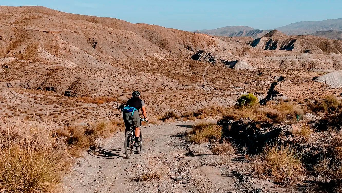
TransAlmería Gravel – Summits, dry riverbeds and deserts
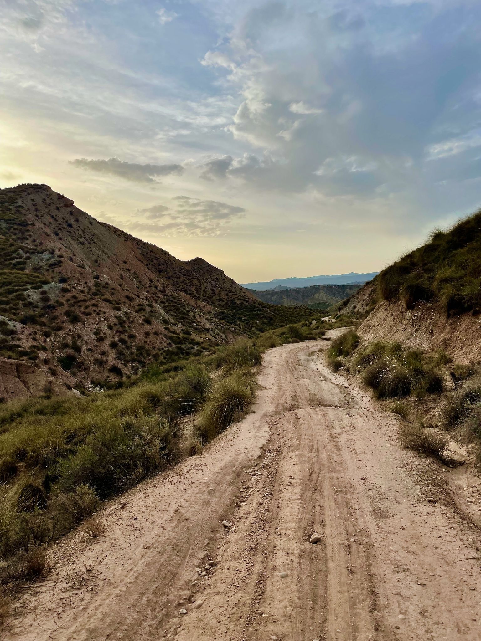
Badlands 2021 — 750km of gravel in the Spanish deserts

On the road to the sun — bikepacking to southeast Spain
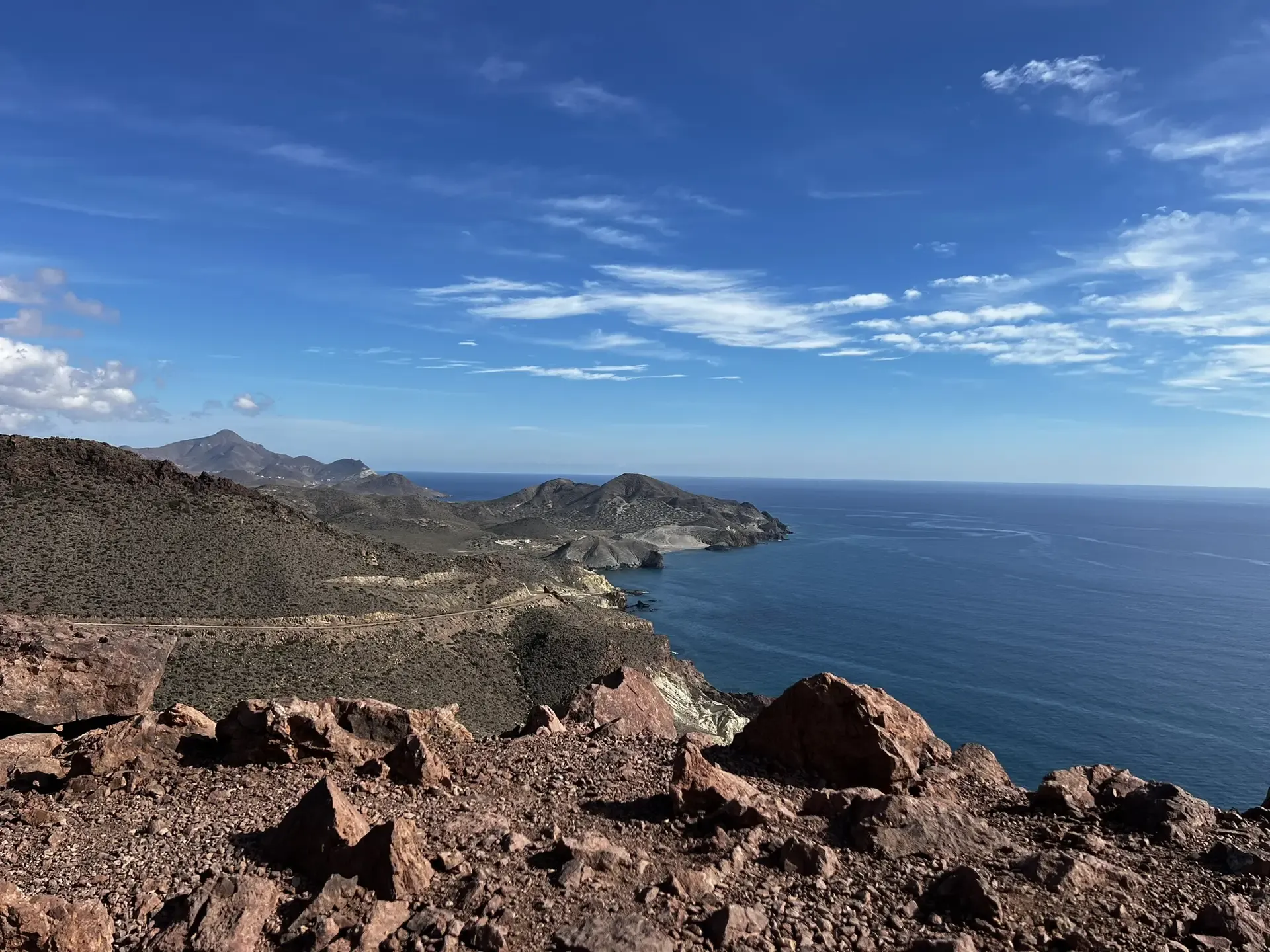
The Wild Side Of Almería — Transalmería By Mountain Bike
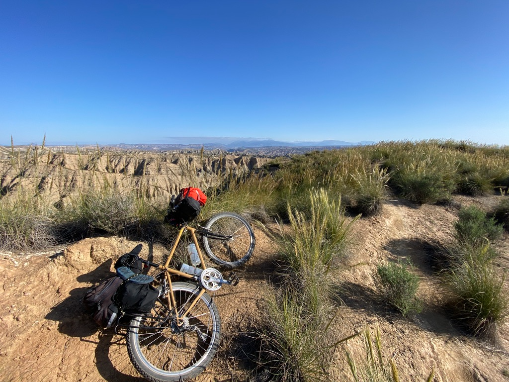
Mountain, Desert and Sea — Andalusian Trilogy
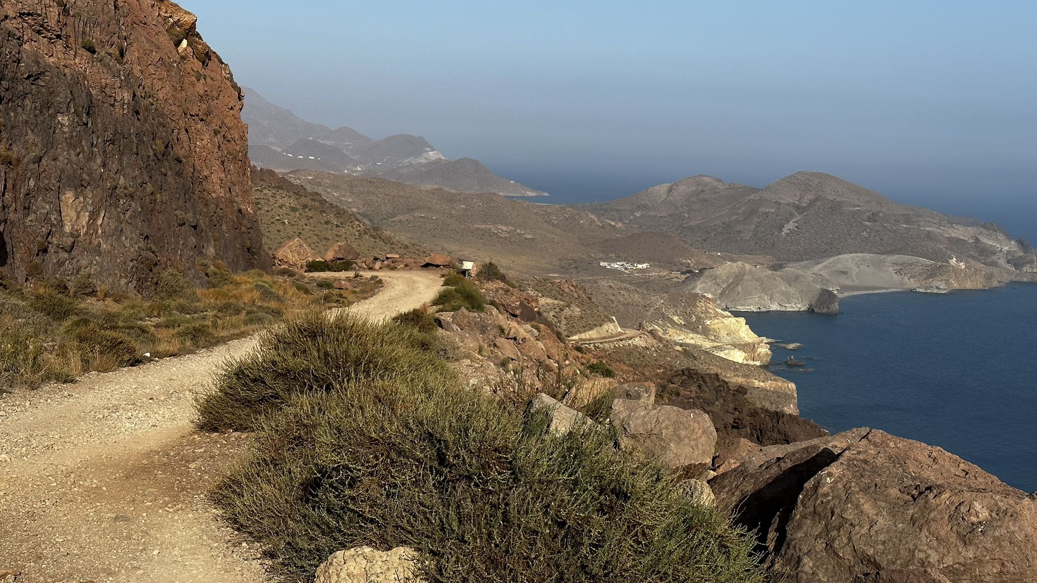
Beaches and desert – TransAlmería by MTB (El Levante)
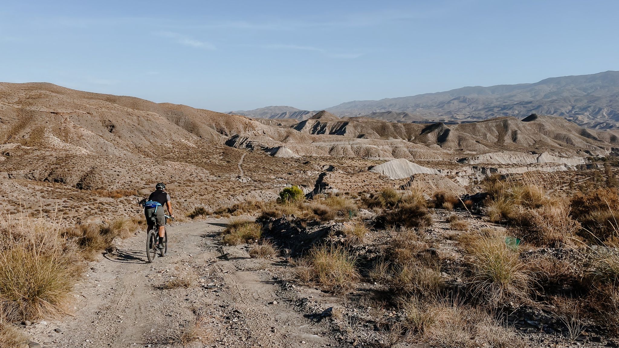
High mountains, desert and sea – an adventure of contrasts in Andalusia
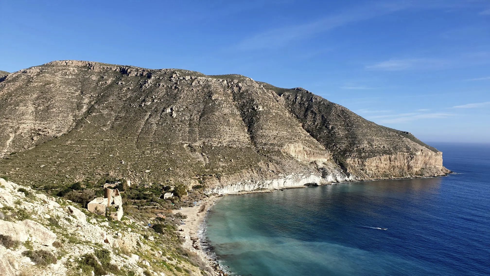
A bike ride that’s like a movie – Natural Park of Cabo de Gata-Níjar

Let’s head south – cycle in Andalusia with me and my dog

Wild and free Andalusia – Transandalus through the interior
Other adventures around National Park Cabo de Gata-Níjar


Tips from the Community

Of the areas that I liked the most on the entire route.
1
0

Sturdy footwear is recommended for the descent to the beach.
1
0


The volcanic rock offers a multitude of shades and diversity, it is like walking into a treasure chest.
16
0

The Agua Amarga Olive Tree, also known as the Thousand-Year-Old Agua Amarga Olive Tree, is a monumental tree located in the Rambla de los Viruega (or Viruegues), very close to the village of Agua Amarga, in the municipality of Níjar, within the Cabo de Gata-Níjar Natural Park. The canopy casts a shadow about 10 meters in diameter. Despite its age and lack of intensive care, it is in acceptable condition, although it could be improved.
3
0
La Isleta del Moro is one of the most picturesque and authentic spots in the Cabo de Gata-Níjar Natural Park in Almería. This small fishing village preserves its traditional essence and offers a spectacular natural setting.
4
0
There is a good chance that the mines will be reopened. Europe wants to become more independent and in this area there are many rare minerals to be found. It is also a good reason to go and search for yourself in this unique beautiful area.
0
1

One of the most intriguing aspects of Rodalquilar is the remains of mining activity, such as abandoned mines and industrial structures scattered throughout the valley. The coastal defense castle, built during the reign of Charles III, is also a sight that highlights the rich history of the region.
1
1
Frequently Asked Questions
How many easy hiking trails are available in National Park Cabo de Gata-Níjar?
National Park Cabo de Gata-Níjar offers nearly 100 easy hiking trails. In total, there are over 230 routes across various difficulty levels, but a significant portion is suitable for easy exploration.
What kind of landscapes can I expect on easy hikes in Cabo de Gata-Níjar?
Easy hikes in Cabo de Gata-Níjar showcase a unique blend of volcanic landscapes, pristine coastlines, and arid semi-desert interiors. You'll encounter striking rock formations, lava flows, and calderas, alongside expansive sandy beaches and secluded rocky coves.
Are there any easy circular routes in the park?
Yes, there are several easy circular routes. For example, the Ancient olive tree of Agua Amarga – Agua Amarga Beach loop from Agua Amarga is a 6.8 km path offering coastal views. Another option is the View of Isleta del Moro – Arco Beach loop from Cerro de la Amatista, which covers 6.5 km through coastal scenery.
What are some interesting historical sites or landmarks to see on an easy hike?
You can explore historical sites like the old gold mining operations on the Rodalquilar Gold Mines – Rodalquilar Gold Mine Ruins loop from Rodalquilar. Other notable landmarks include the San Miguel Tower, Cabo de Gata, and the Los Genoveses Mill, which can be incorporated into your hiking plans.
When is the best time of year for easy hiking in Cabo de Gata-Níjar?
The best times for easy hiking in Cabo de Gata-Níjar are autumn and winter. While the region enjoys around 300 days of sunshine annually, summer temperatures can be very high, making cooler months more comfortable for outdoor activities.
Are there any easy trails that offer views of the sea or beaches?
Absolutely. Many easy trails provide stunning coastal views. The View of Playa de los Muertos – Mesa Roldán Lighthouse loop from Aparcamiento Playa de los Muertos offers panoramic sea vistas. You can also find beautiful beaches like Los Genoveses Beach along various coastal paths.
What do other hikers say about the easy trails in National Park Cabo de Gata-Níjar?
The easy trails in National Park Cabo de Gata-Níjar are highly rated by the komoot community, with an average score of 4.5 stars from over 1,700 reviews. Hikers often praise the unique volcanic landscapes, the stunning coastal scenery, and the well-maintained paths suitable for all abilities.
Are there any easy routes that explore the volcanic features of the park?
Yes, the Natural Park of Cabo de Gata – Caldera de la Majada Redonda from Presillas Bajas (SL-A 101) is an excellent easy route that specifically explores the volcanic features, including the Caldera de la Majada Redonda.
Can I find viewpoints on easy hikes in the park?
Yes, many easy trails lead to or pass by viewpoints. For instance, the Views from the Granatilla viewpoint offer expansive panoramas of the park's diverse landscapes.
Are there any easy trails suitable for birdwatching?
While specific birdwatching trails aren't listed, the Salt Flats (Las Salinas de Cabo de Gata) are a significant natural feature within the park known for birdwatching, especially for migratory birds like flamingos. You can find easy paths in the vicinity of these wetlands.
What should I wear for an easy hike in Cabo de Gata-Níjar, especially in summer?
Given the semi-desert environment and high summer temperatures, it's advisable to wear light, breathable clothing, a hat, and sunglasses. Always carry plenty of water, as shade can be limited on many trails. Sturdy walking shoes are recommended for varied terrain.
Are there any easy trails that pass through charming villages?
While specific routes aren't detailed, the park is dotted with picturesque villages like San José, Las Negras, and La Isleta del Moro. Many easy coastal and inland trails connect to or pass near these villages, allowing you to experience their traditional Spanish charm.
Most popular routes around National Park Cabo de Gata-Níjar
Most popular attractions around National Park Cabo de Gata-Níjar

Get inspired with the komoot mobile app


Explore more
Browse the best Hikes in other regions.
