Easy hikes and walks around Regionaler Naturpark Schaffhausen
4.5
(15166)
67,163
hikers
389
hikes
Easy hiking trails around Regionaler Naturpark Schaffhausen traverse a diverse landscape characterized by the Randen hills, extensive vineyards, and the meandering Rhine River. The park, unique for its cross-border nature into Germany, features varied terrain including forests, species-rich meadows, and the agricultural Klettgau region. Elevations are generally moderate, with the highest point at 900 meters, making it suitable for leisurely walks rather than strenuous climbs.
Best easy hiking trails around Regionaler Naturpark Schaffhausen
- The most popular easy hiking route is…
Last updated: July 28, 2026
7
hikers
5.20km
01:24
60m
60m
Easy hike. Great for any fitness level. Easily-accessible paths. Suitable for all skill levels.
4.4
(7)
24
hikers
5.11km
01:22
60m
60m
Easy hike. Great for any fitness level. Easily-accessible paths. Suitable for all skill levels.

Sign up for free
5.0
(5)
54
hikers
4.23km
01:12
80m
80m
Easy hike. Great for any fitness level. Easily-accessible paths. Suitable for all skill levels.
4.5
(4)
27
hikers
4.79km
01:35
200m
200m
Easy hike. Great for any fitness level. Easily-accessible paths. Suitable for all skill levels.
4.0
(1)
12
hikers
6.95km
01:58
150m
150m
Easy hike. Great for any fitness level. Easily-accessible paths. Suitable for all skill levels.
Get access to more routes and recommendations from other explorers.
Sign up for free
Already have an account?
Our route recommendations are based on thousands of hikes, rides, and runs completed by other people on komoot.
Start today with a free account
Your next adventure awaits.
Login or Signup
Popular around Regionaler Naturpark Schaffhausen
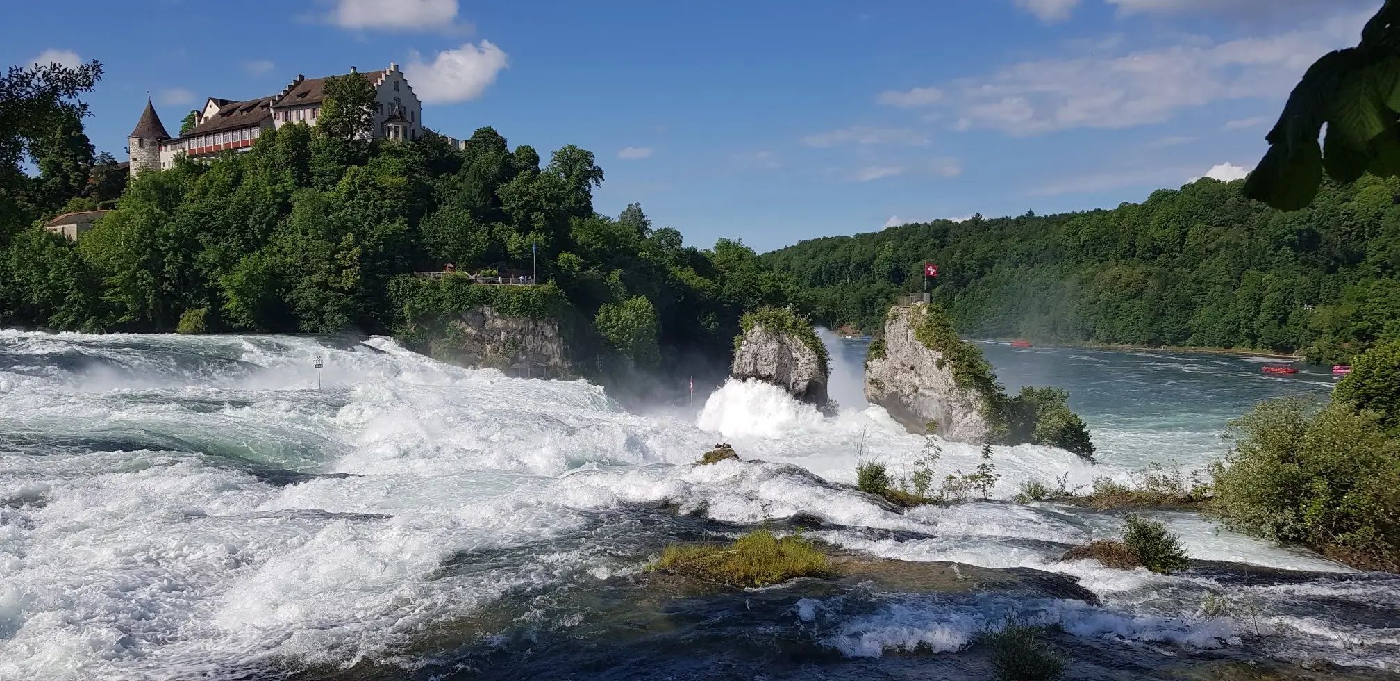
Hochrhein-Höhenweg – Forests and rivers from Germany to Switzerland
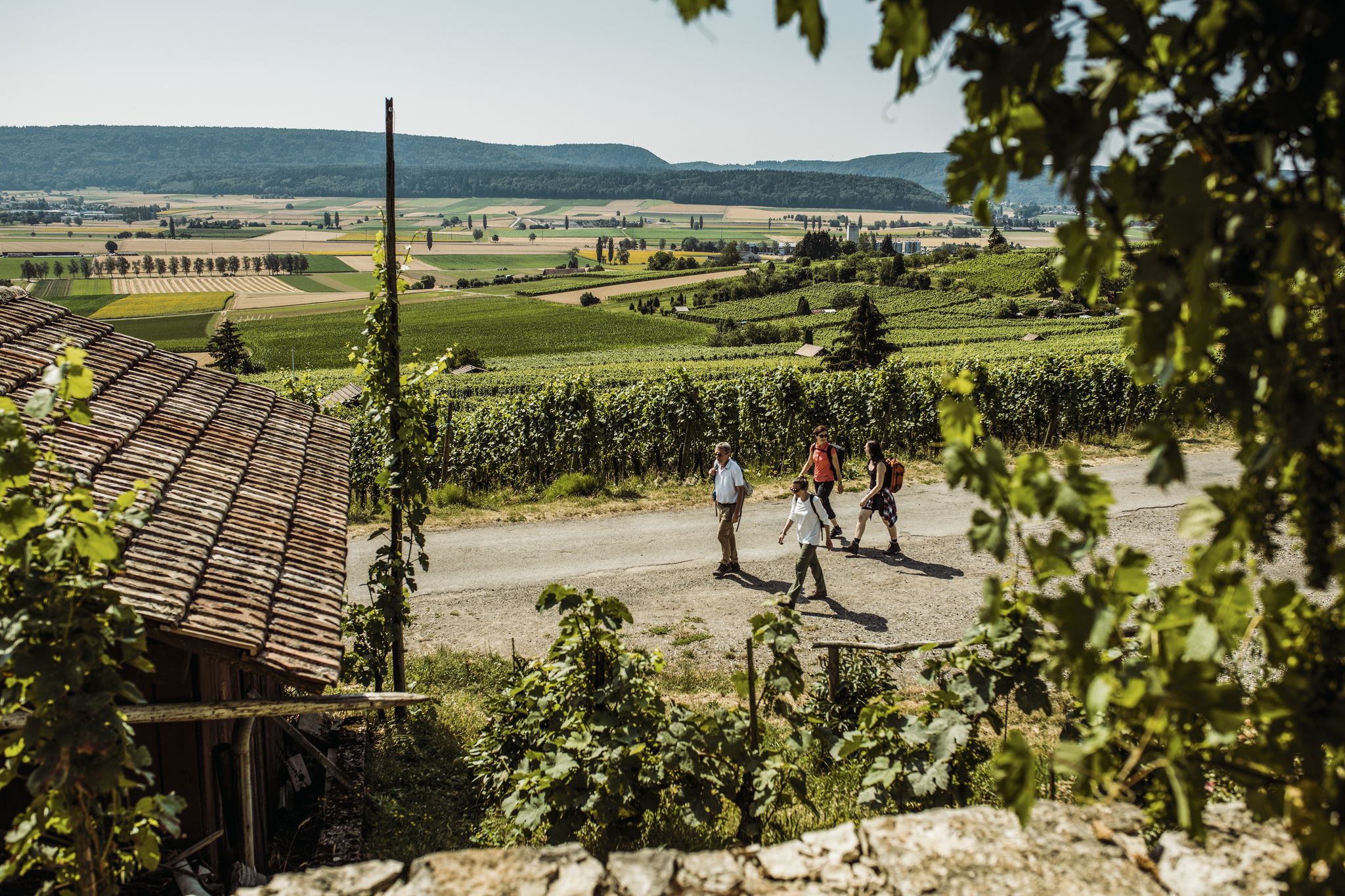
Woodland, water and far-reaching views – start of season hiking hits
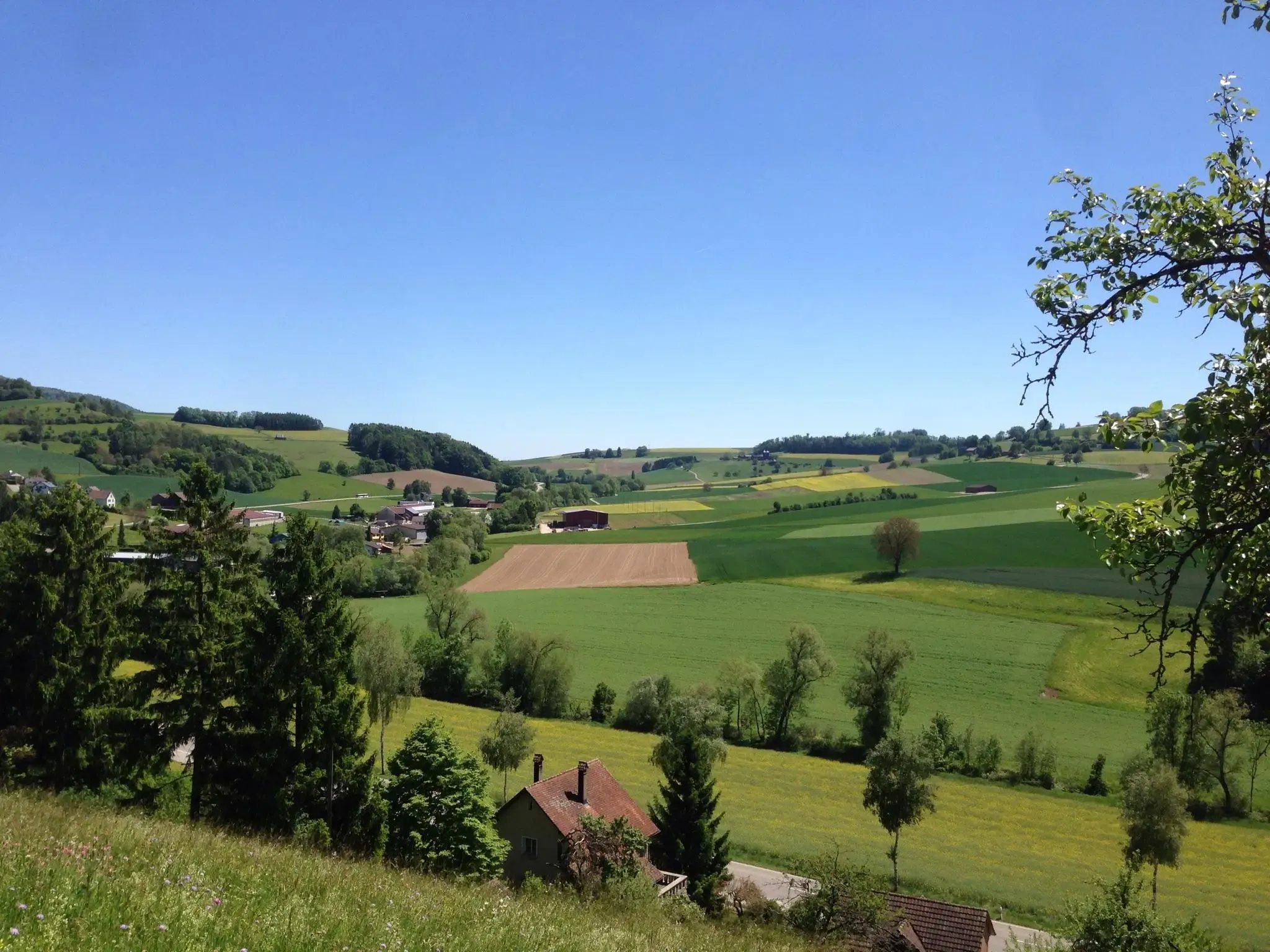
Klettgau-Rhein-Weg – hiking at the feet of the Alps
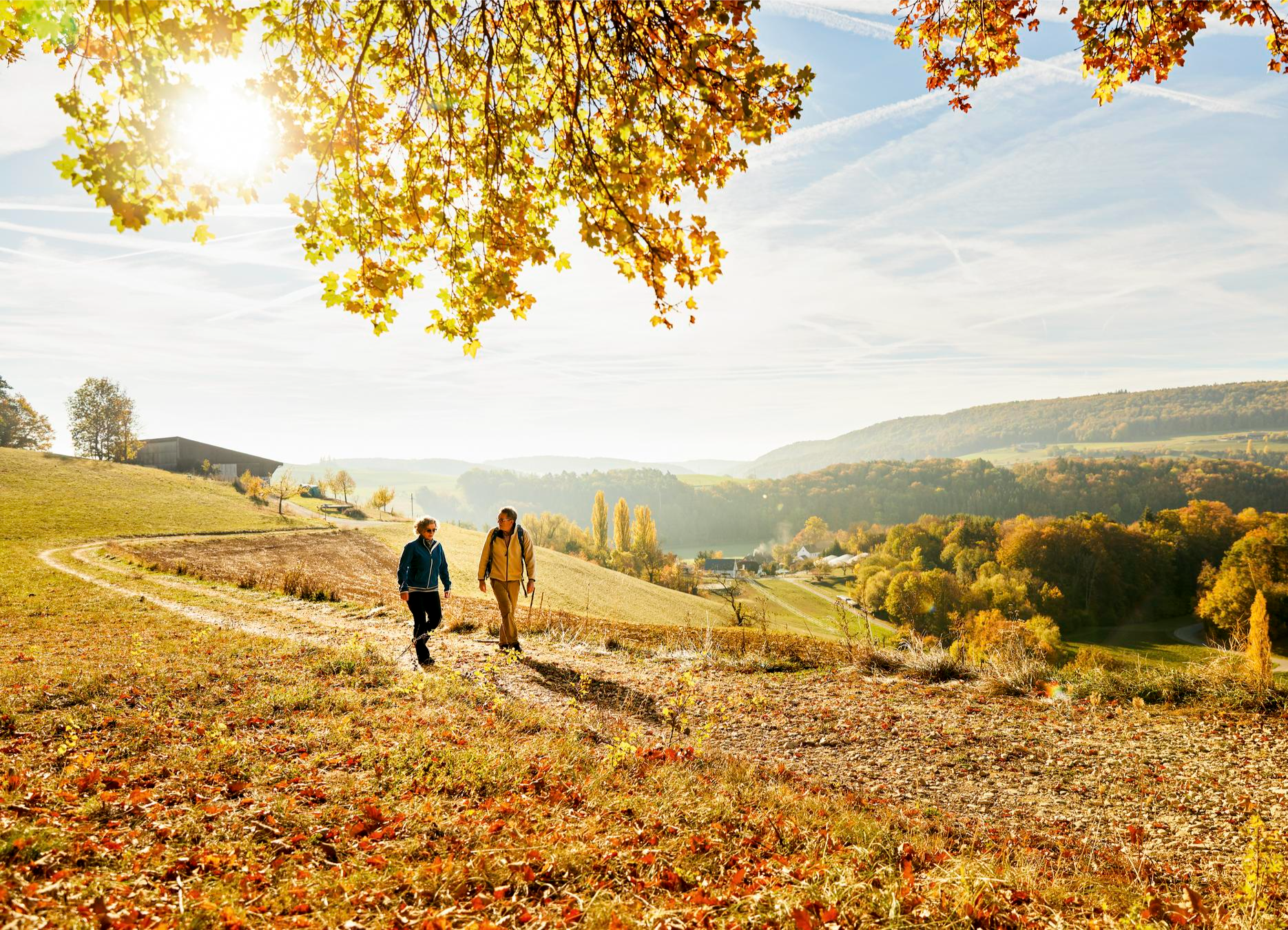
Rhine, hills and vines – autumn hiking tips in Schaffhauserland

Lake and Alps Adventure – explore 100 dreamy places in our cycling region!
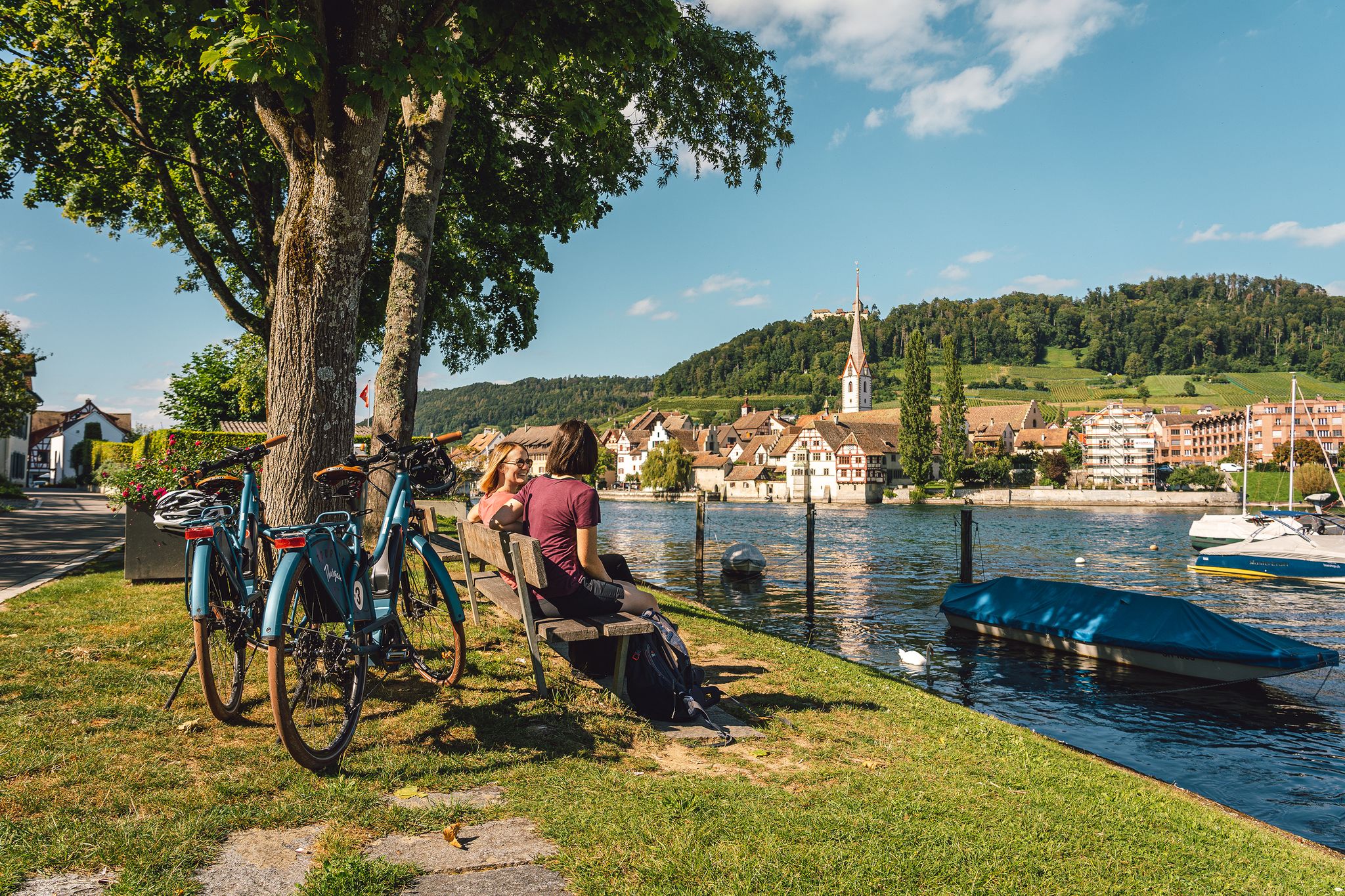
Rhine, vines, Randen – the top 5 cycle routes in Schaffhauserland
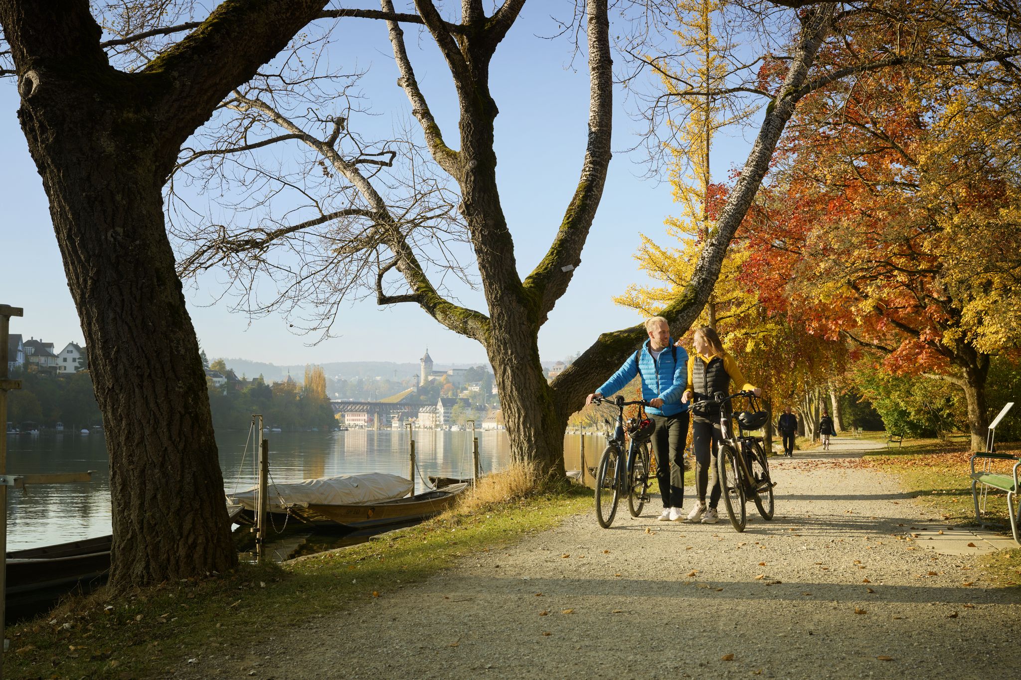
Rhine, Vines and Randen – autumn cycling routes in Schaffhauserland
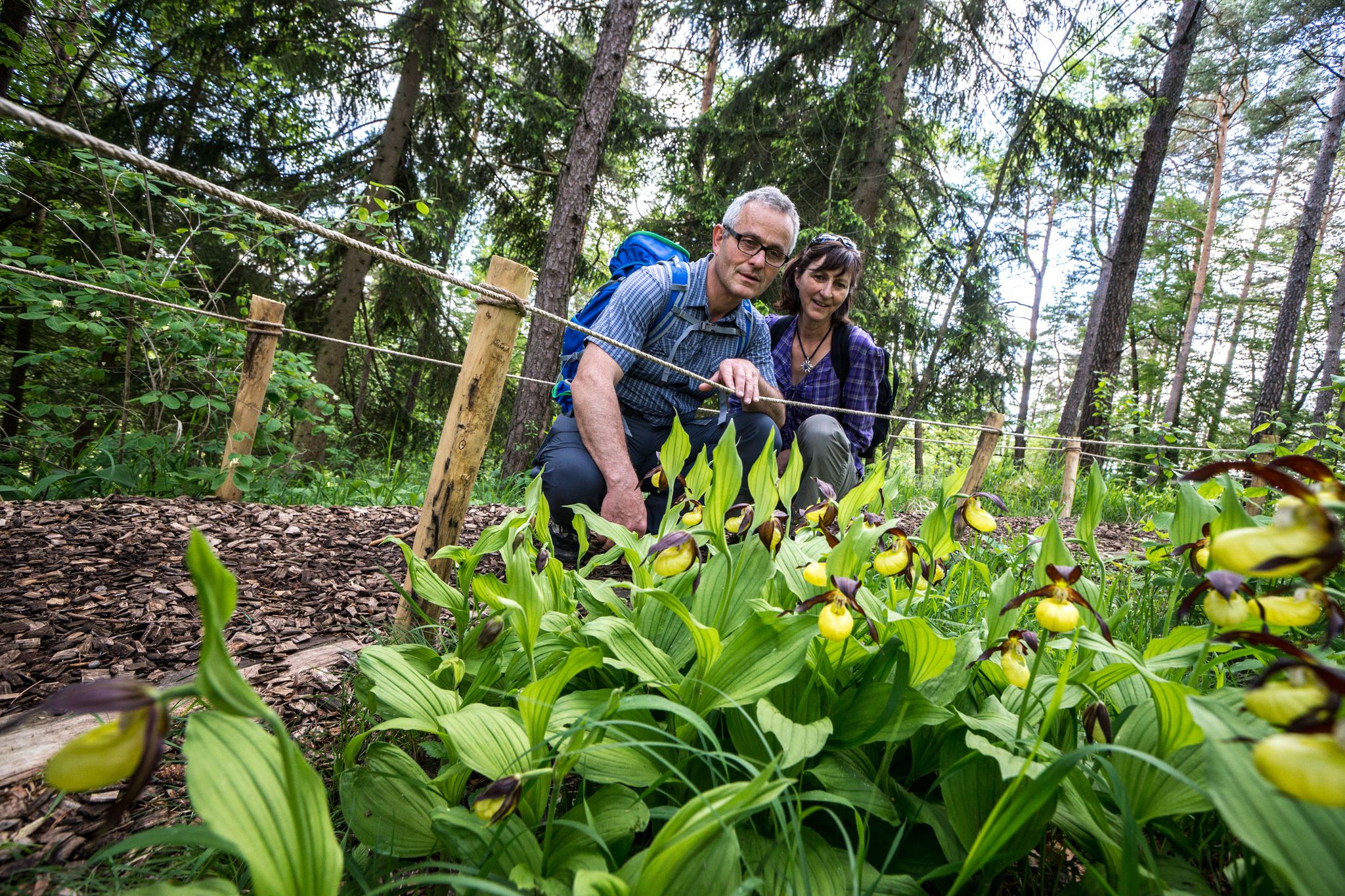
Wandern zwischen Rhein und Reben – Frühling im Schaffhauserland
Other adventures around Regionaler Naturpark Schaffhausen


Tips from the Community

From the 20-meter-high viewing platform, there is a wide view over the Klettgau, the Black Forest and as far as the Alps.
3
0

Somewhat hidden in the "Flüe" (a local name for a rock formation), you'll find the Nagelfluh cave, also known as "Winterlislöchli". The area, with benches and a barbecue, offers a fantastic view of the German Klettgau region. According to local legend, a peddler woman named Winterlise once lived here for a time.
0
0
Between Wilchingen and Osterfingen, extensive vineyards shape the landscape of the Klettgau region. Rows of Pinot Noir, Riesling-Silvaner, and Pinot Gris stretch across the rolling hills, giving the region its distinctive character. The wine country reveals itself in a different light each season – from the fresh green of spring to the warm colors of autumn.
0
0

The tower stands on the foundation of the keep of Randenburg Castle, of which only a few remnants are still visible above ground. The view from the tower is breathtaking! There are now several information panels about the castle. The moat is also still clearly visible. On the other side of the moat, there is a large rest area which appears to be well-maintained and popular during the season.
2
0

Thanks for the tip about the ruins, but I've been here before. I'm always amazed and impressed by how magnificent the view can be from here. You can see the mighty tree by the chapel, and with a little luck, a clear view of the Alps. From here, the world looks so beautiful (peaceful...). A tip is the path to the Rossberghof farm. From here, you can go down to the left to Osterfingen – but without me, at least never again on a mountain bike; the climb would be brutal... better take the road to the right, or to the Wasenhütte :-)
0
0

Radegg Castle Ruins (built in 1200, destroyed in 1300)
1
0

The Neolithic conglomerate cave "Winterlislöchli" was inhabited until about 6,000 years ago. Great view
0
0
This wonderful place was completely unknown to me, only becoming aware of it through "Komootler." The detour is definitely worth it. An idyllic spot with a barbecue area and benches.
0
0
Frequently Asked Questions
How many easy hiking trails are available in Regionaler Naturpark Schaffhausen?
There are over 200 easy hiking trails in Regionaler Naturpark Schaffhausen, offering a wide variety of routes suitable for all fitness levels.
What kind of landscapes can I expect on easy hikes in Regionaler Naturpark Schaffhausen?
Easy hikes in Regionaler Naturpark Schaffhausen traverse diverse landscapes, including the gentle slopes of the Randen hills, scenic paths along the Rhine River, vast vineyards, and extensive forests. You'll also encounter species-rich meadows and the agricultural Klettgau region.
Are there any family-friendly easy hikes in the park?
Yes, many easy trails are suitable for families. The Rheinau Monastery – Rheinau Abbey Church loop from Rheinau is a great option, offering views of the historic monastery and the Rhine. Another family-friendly choice is the WWF Beaver Trail between Rüdlingen and Teufen, which features informative boards along the Rhine.
Can I bring my dog on the easy hiking trails?
Yes, Regionaler Naturpark Schaffhausen is generally dog-friendly. Most easy hiking trails welcome dogs, but it's always advisable to keep them on a leash, especially in nature protection areas or near livestock. Please ensure you clean up after your pet.
Are there any circular easy walks available?
Yes, many easy routes are designed as circular walks. For example, the Engeweiher – Enge Pond loop from Stadion Breite is a popular circular trail that takes you through varied landscapes around the Engeweiher pond. Another option is the Schlossranden Forest Inn – Zälgli loop from Hemmental, which offers a pleasant forest experience.
What interesting landmarks or viewpoints can I find along easy hikes?
Many easy hikes offer access to notable landmarks and viewpoints. You can visit the Beringer Randenturm Observation Tower for expansive views, or explore the historic Rheinau Covered Bridge. The Genussweg zwischen Wilchingen und Osterfingen takes you through scenic vineyards, often with opportunities for wine tasting.
Are there any gorges or unique natural features to explore on easy trails?
Yes, the park features several interesting natural formations. You can find easy trails leading to or near the Felsentäli Gorge or the Tüüfelschuchi Gorge. The Kesslerloch Cave – Small Cave loop from Thayngen offers a glimpse into prehistoric sites.
What is the best time of year for easy hiking in Regionaler Naturpark Schaffhausen?
The park is enjoyable year-round for easy hikes. Spring brings blooming orchards and meadows, while summer offers lush greenery. Autumn is particularly beautiful with vibrant fall colors in the vineyards and forests. Even in winter, many trails are accessible for peaceful walks, though some paths might be slippery.
How accessible are the easy hiking trails by public transport?
Regionaler Naturpark Schaffhausen is well-connected by public transport, making many trailheads easily accessible. This allows for flexible planning, including point-to-point hikes like the scenic path from Schaffhausen to Stein am Rhein, which runs along the Rhine.
Are there places to eat or rest along the easy hiking routes?
Yes, the region is dotted with charming villages and towns, offering opportunities for refreshments. Many trails pass by local restaurants, cafes, or traditional 'Besenbeizen' (seasonal wine taverns) in the vineyard areas, especially along routes like the Genussweg zwischen Wilchingen und Osterfingen.
What do other hikers enjoy most about the easy trails in Regionaler Naturpark Schaffhausen?
The area is highly rated by the komoot community, with an average score of 4.6 stars. Reviewers often praise the diverse and picturesque landscapes, the well-maintained paths, and the accessibility of trails suitable for all ages and fitness levels. The combination of Rhine views, vineyards, and historic sites is frequently highlighted.
Are there any easy hikes that offer views of the Rhine River?
Absolutely. Many easy trails follow the Rhine River, providing picturesque views. The Rheinau Monastery – Rheinau Abbey Church loop from Rheinau is an excellent example, offering continuous river scenery. The path from Schaffhausen to Stein am Rhein also runs directly along the river, showcasing small villages and vineyards.
Most popular routes around Regionaler Naturpark Schaffhausen
Most popular attractions around Regionaler Naturpark Schaffhausen

Get inspired with the komoot mobile app


Explore more
Browse the best Hikes in other regions.
