Easy hikes and walks in the Hazelton Mountains
4.6
(23)
214
hikers
21
hikes
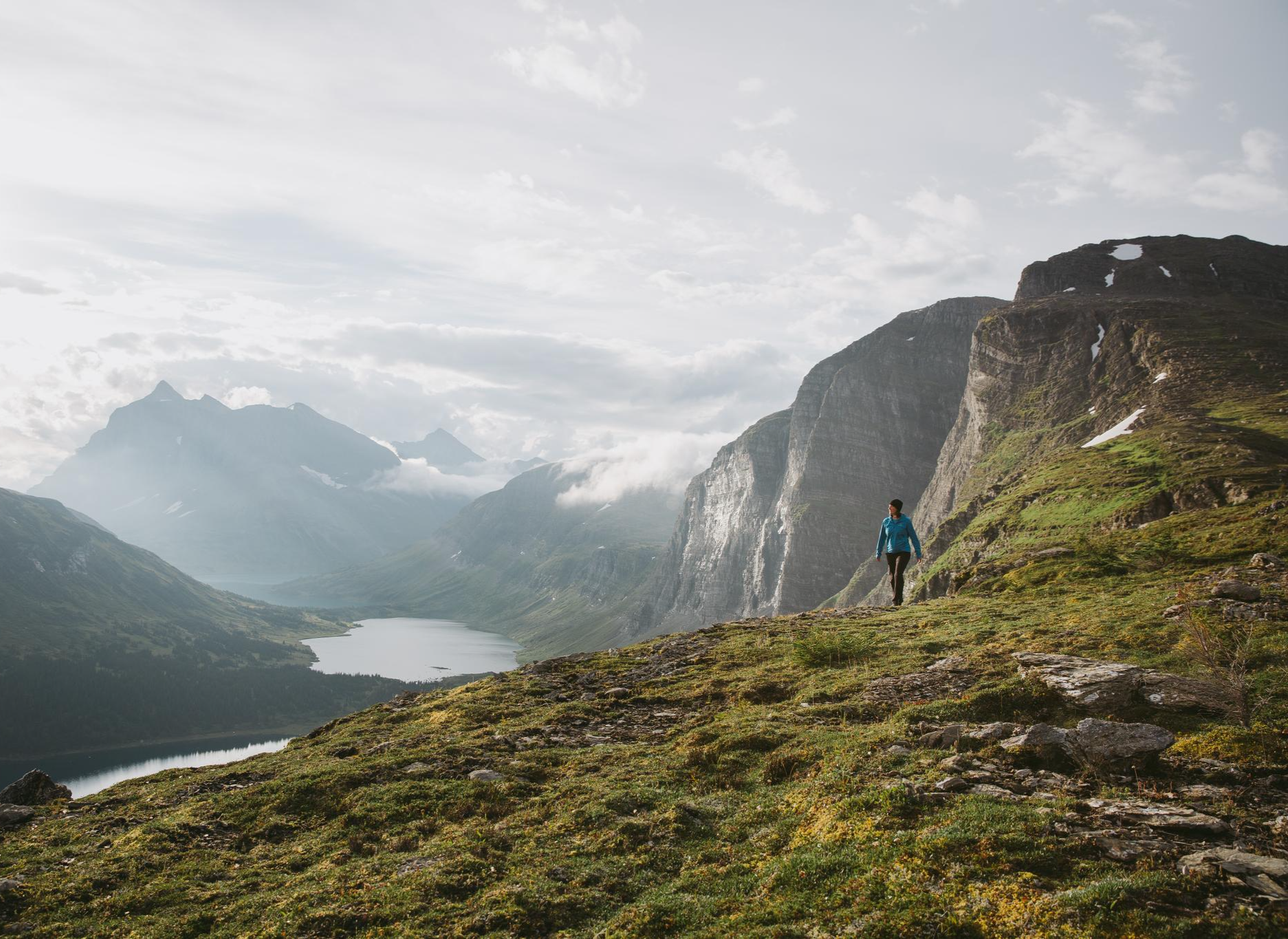
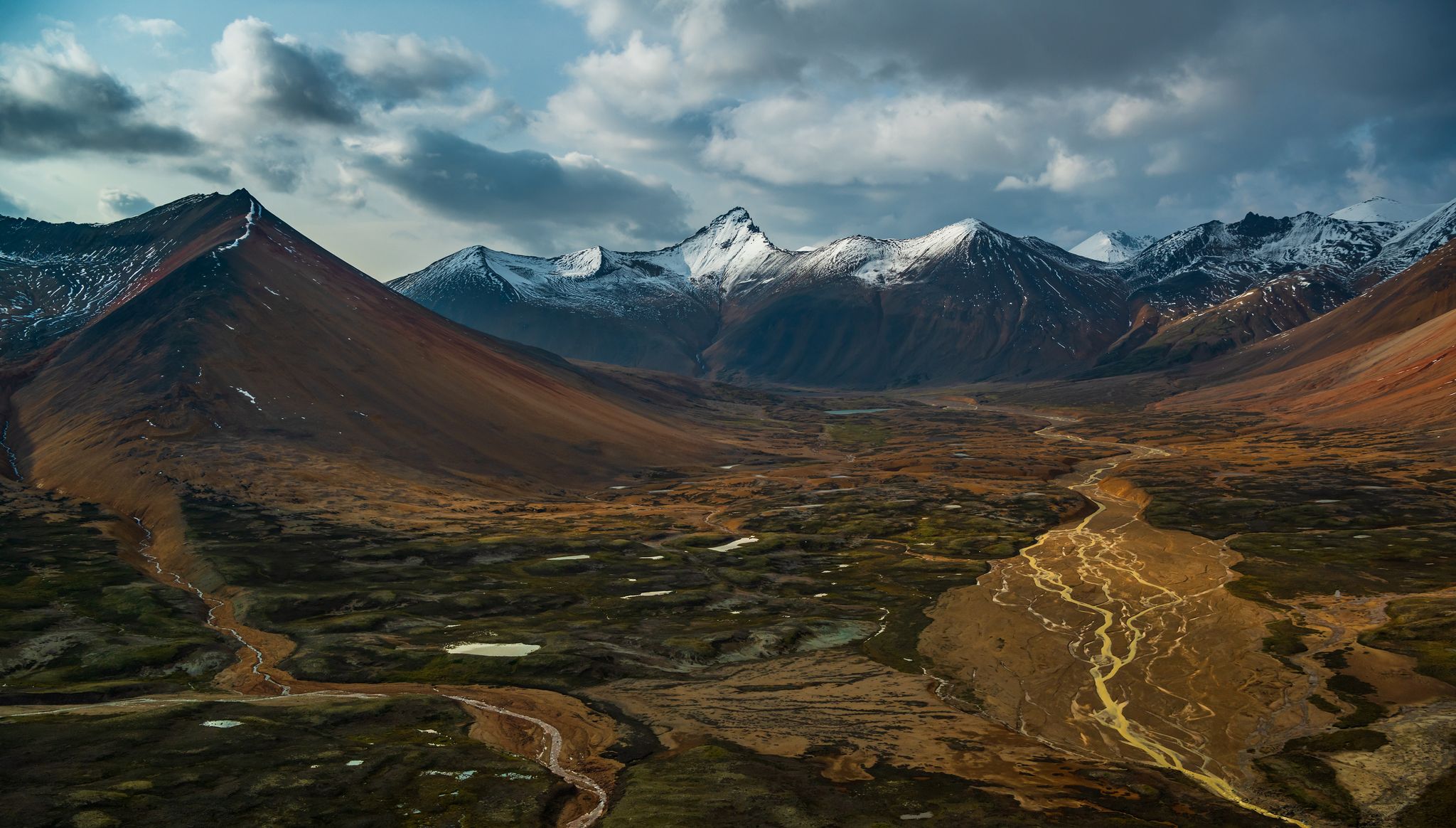
Easy hiking trails in the Hazelton Mountains are characterized by a diverse landscape of rugged peaks, extensive parklands, and significant river systems. The region features varied terrain, from the distinctive peaks of Seven Sisters Provincial Park to the unique lava formations of Nisga'a Memorial Lava Bed Provincial Park. Major rivers like the Bulkley and Skeena contribute to the area's natural beauty and ecosystem. This environment provides a range of easy hiking opportunities suitable for different preferences.
Best easy hiking trails…
Last updated: November 8, 2026
5.0
(2)
32
hikers
3.71km
00:58
30m
30m
Easy hike. Easily walkable paths.
7
hikers
5.55km
01:31
90m
90m
Easy hike. Easily walkable paths.

1.46km
00:24
20m
20m
Easy hike. Easily walkable paths.
4.0
(8)
33
hikers
5.32km
01:42
230m
230m
Easy hike. Easily walkable paths.
10
hikers
5.29km
01:43
220m
230m
Easy hike. Easily walkable paths.
11
hikers
Easy hike. Easily walkable paths.
5.0
(2)
6
hikers
6.49km
01:42
50m
50m
Easy hike. Easily walkable paths.
5.0
(2)
6
hikers
3.43km
00:54
20m
20m
Easy hike. Easily walkable paths.
9
hikers
3.53km
01:15
210m
210m
Easy hike. Easily walkable paths.
4.0
(1)
6
hikers
3.03km
00:48
30m
30m
Easy hike. Easily walkable paths.
Get access to more routes and recommendations from other explorers.
Already have an account?
Our route recommendations are based on thousands of hikes, rides, and runs completed by other people on komoot.
Start today with a free account
Your next adventure awaits.
Popular around Hazelton Mountains


Tips from the Community

Howe Creek runs through the heart of Terrace, but once you’re beside the water it feels much more tucked away than you’d expect. A lot of work has gone into restoring the creek and protecting the vegetation along its banks, and you’ll see boardwalks, bridges and interpretive signs along the way. It’s especially nice after a bit of rain, when there’s more water running through the creek.
0
0
The Skeena Valley Viewpoint is the spot to linger once you reach the open rock above Terrace. You get a wide view over the city, the Skeena River and the mountains wrapping around the valley, which feels like a pretty big payoff after walking through the forest. There’s not much shade once you’re out on the rock, so on a warm day it’s a good place to stop, take a break and enjoy the view.
0
0
Howe Creek Trail is an easy forest walk right in Terrace, following the creek through a surprisingly green corridor between neighbourhoods. The trail is mostly gravel and packed dirt, with boardwalks and small bridges along the way, so it’s an easy one to fit into the day. Keep an eye out for the interpretive signs too, which explain some of the work that’s gone into restoring Howe Creek and its surrounding habitat.
0
0

Beautiful trail on an island that has a very nice campground too.
0
0
One of British Columbia's great salmon rivers, the Skeena flows more than 570 kilometres from the Coast Mountains to the Pacific Ocean. From Ferry Island, the broad river channel provides a sense of the scale of this watershed, which supports some of the largest wild salmon runs in North America. Watch for eagles, ravens, and other wildlife that depend on the river throughout the year.
0
0
This easy trail winds through mature cottonwood forest and riverside habitat at the heart of Ferry Island. The mostly level route passes beneath a canopy of large trees while offering occasional glimpses of the Skeena River through the vegetation. Interpretive signs along parts of the trail help explain the island's ecology and its connection to the river system.
0
0
Located between channels of the Skeena River, Ferry Island Park protects a mix of cottonwood forest, wetlands, and riverside habitat just minutes from downtown Terrace. More than ten kilometres of easy trails crisscross the island, providing opportunities for wildlife watching, birding, and seasonal salmon viewing. The flat terrain and peaceful setting make it one of the most accessible natural areas in the region.
0
0

The park is nestled at the base of the Bornite Mountain, and the forest here is a mix of cedar and hemlock. One of the most unique features is the abandoned gold mining equipment still tucked away in the forest.
0
0
Frequently Asked Questions
How many easy hiking trails are available in the Hazelton Mountains?
The Hazelton Mountains offer a good selection of easy hiking trails, with over 7 routes specifically categorized as easy. In total, there are 14 hiking routes available in the region, catering to various skill levels.
What kind of terrain can I expect on easy hikes in the Hazelton Mountains?
Easy hikes in the Hazelton Mountains feature diverse terrain, from gentle paths around lakes to trails offering views of rugged peaks and river valleys. You might encounter varied landscapes, including forested areas, and even unique volcanic formations in certain parks like Nisga'a Memorial Lava Bed Provincial Park.
Are there any easy loop trails in the Hazelton Mountains?
Yes, there are several easy loop trails. For instance, the Twin Falls loop from Twin Falls Recreation Site is a popular option, as is the Call Lake – Call Lake Provincial Park loop. Another great choice is the Pine Lake loop from Pine Lake, which offers a pleasant walk around the lake.
What are some family-friendly easy hikes in the Hazelton Mountains?
For families, the Hazelton Mountains offer several suitable options. The Swimming at Ross Lake loop from Ross Lake Provincial Park is a shorter, easy trail. Additionally, the Watson Lakes Trail in Seven Sisters Provincial Park is known to be family-friendly and suitable for beginners.
Can I bring my dog on easy hiking trails in the Hazelton Mountains?
Many trails in the Hazelton Mountains are dog-friendly, but it's always best to check specific park regulations before heading out. Generally, dogs are welcome on leash in provincial parks and on most public trails. Always ensure your dog is under control and pack out any waste.
What are some notable natural features or landmarks I can see on easy hikes?
The region is rich in natural beauty. You can enjoy views of the Skeena River on trails like the Bench With a View of Terrace loop. Nisga'a Memorial Lava Bed Provincial Park offers unique volcanic features like tree casts and lava tubes. The Hagwilget Canyon Bridge, one of Canada's highest suspension bridges, also provides breathtaking views over the Bulkley River.
What is the best time of year to go on easy hikes in the Hazelton Mountains?
The best time for easy hikes in the Hazelton Mountains is typically from late spring through early fall (May to October). During these months, trails are generally free of snow, and the weather is more favorable. Always check local conditions, especially in spring when some higher elevation trails might still have snow.
Are there any easy trails with good viewpoints in the Hazelton Mountains?
Yes, several easy trails offer rewarding views. The Bench With a View of Terrace loop provides excellent vistas of the Skeena River. The area around New Hazelton also features trails like the New Hazelton Waterfall and Lookout Trail, which, while moderately challenging in parts, can offer accessible viewpoints.
What do other hikers say about the easy trails in the Hazelton Mountains?
The easy trails in the Hazelton Mountains are highly rated by the komoot community, with an average score of 4.5 stars from over 16 reviews. Hikers often praise the diverse scenery, from river views to lake loops, and appreciate the accessibility of these routes for various fitness levels.
Are there any easy trails near Call Lake Provincial Park?
Yes, Call Lake Provincial Park is a great spot for easy hiking. You can explore the Call Lake – Call Lake Provincial Park loop, which is a pleasant 4.5 km trail. Another option within the park is the Call Lake Provincial Park loop, a shorter 3 km route.
Do I need a permit for easy hikes in the Hazelton Mountains?
Generally, permits are not required for day hikes on easy trails in the Hazelton Mountains' provincial parks or public lands. However, it's always advisable to check the specific regulations for any provincial park you plan to visit, especially if you intend to do overnight camping or access restricted areas.
Most popular routes in the Hazelton Mountains
Most popular attractions in the Hazelton Mountains

Get inspired with the komoot mobile app


Explore more
Browse the best Hikes in other regions.
