Easy hikes and walks in Hildburghausen
4.5
(8658)
28,183
hikers
1,458
hikes
Easy hiking trails in Hildburghausen lead through the diverse landscapes of the Thuringian Forest region in Germany. The area is characterized by rolling hills, dense forests, and the tranquil Werra River, providing a scenic backdrop for exploration. Hikers can discover extensive forested areas and attractive hilly countryside, with many trails following the river or winding through lush woodlands. The region offers a variety of natural features, including mountain meadows and moorland.
Best easy hiking trails in Hildburghausen
- The most popular…
Last updated: October 8, 2026
4.7
(6)
22
hikers
Easy hike. Great for any fitness level. Easily-accessible paths. Suitable for all skill levels.
4.7
(175)
502
hikers
4.23km
01:25
220m
220m
Easy hike. Great for any fitness level. Easily-accessible paths. Suitable for all skill levels.

4.7
(26)
88
hikers
Easy hike. Great for any fitness level. Easily-accessible paths. Suitable for all skill levels.
4.8
(39)
138
hikers
Easy hike. Great for any fitness level. Easily-accessible paths. Suitable for all skill levels.
4.5
(45)
147
hikers
Easy hike. Great for any fitness level. Easily-accessible paths. Suitable for all skill levels.
3.9
(43)
168
hikers
Easy hike. Great for any fitness level. Easily-accessible paths. Suitable for all skill levels.
4.7
(28)
121
hikers
7.07km
01:56
110m
110m
Easy hike. Great for any fitness level. Easily-accessible paths. Suitable for all skill levels.
4.6
(24)
123
hikers
6.68km
01:55
160m
160m
Easy hike. Great for any fitness level. Easily-accessible paths. Suitable for all skill levels.
5.0
(32)
89
hikers
Easy hike. Great for any fitness level. Easily-accessible paths. Suitable for all skill levels.
4.5
(24)
72
hikers
4.38km
01:13
80m
80m
Easy hike. Great for any fitness level. Easily-accessible paths. Suitable for all skill levels.
Get access to more routes and recommendations from other explorers.
Already have an account?
Our route recommendations are based on thousands of hikes, rides, and runs completed by other people on komoot.
Start today with a free account
Your next adventure awaits.
Popular around Hildburghausen
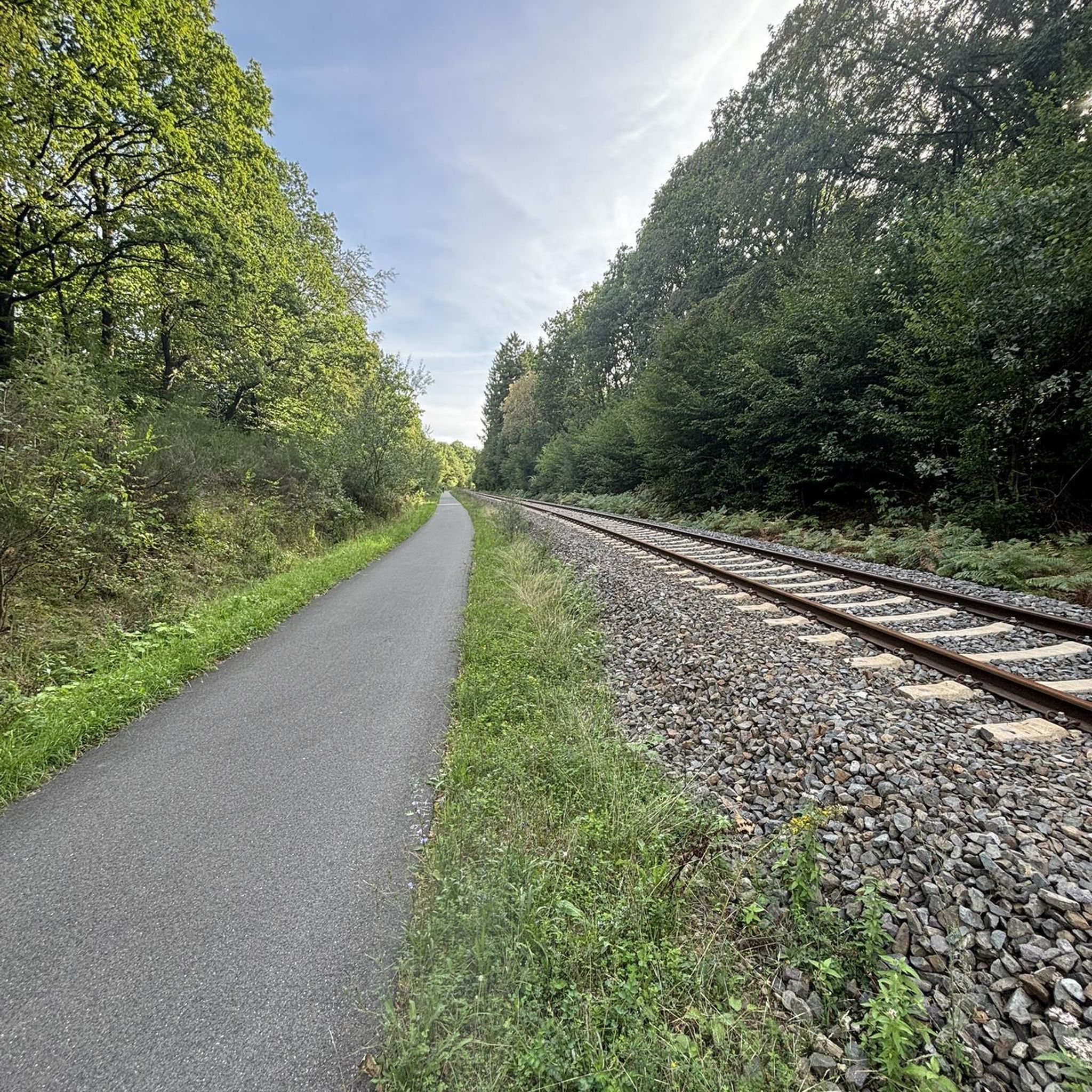
Easy hikes around Dam Schönbrunn
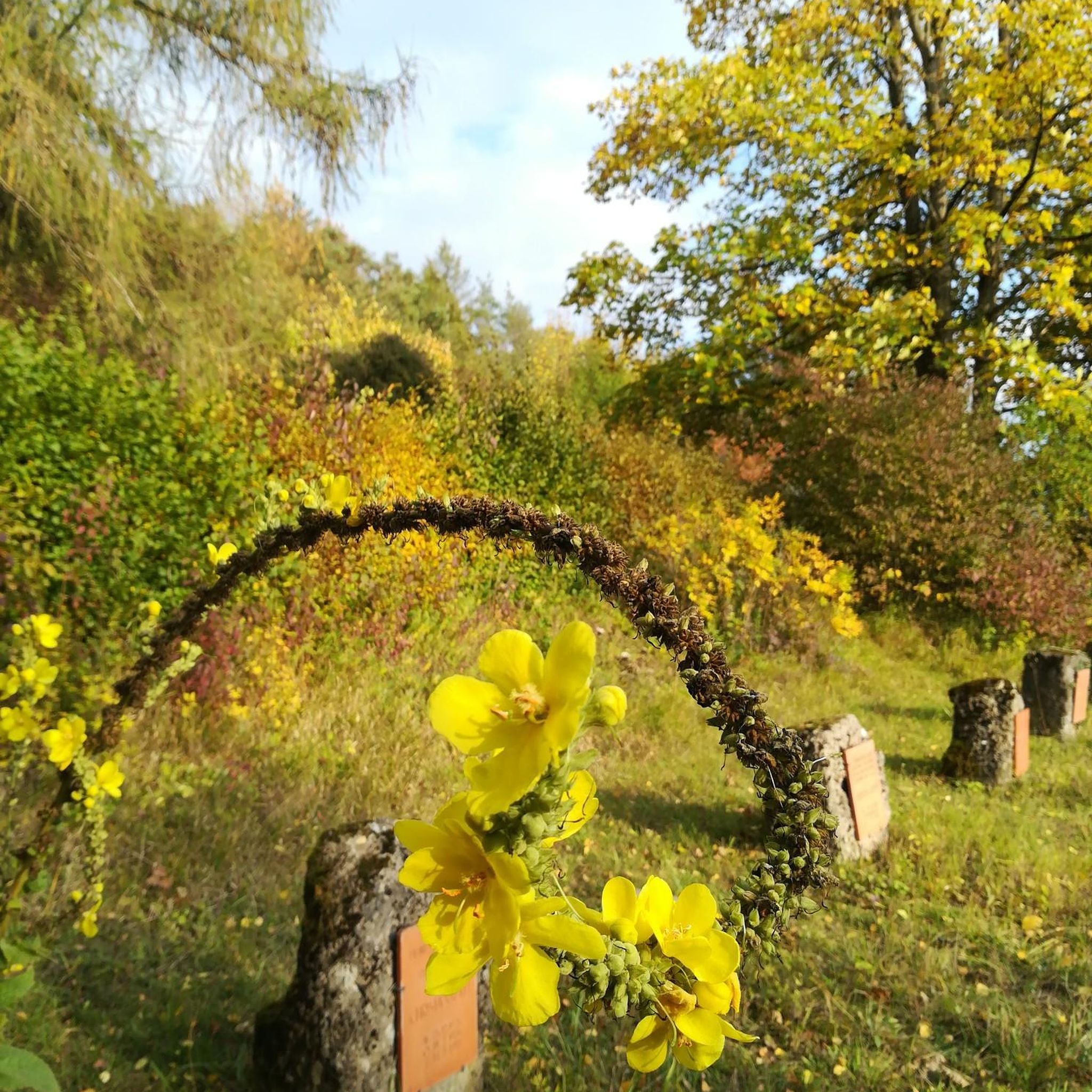
Easy hikes around Römhild
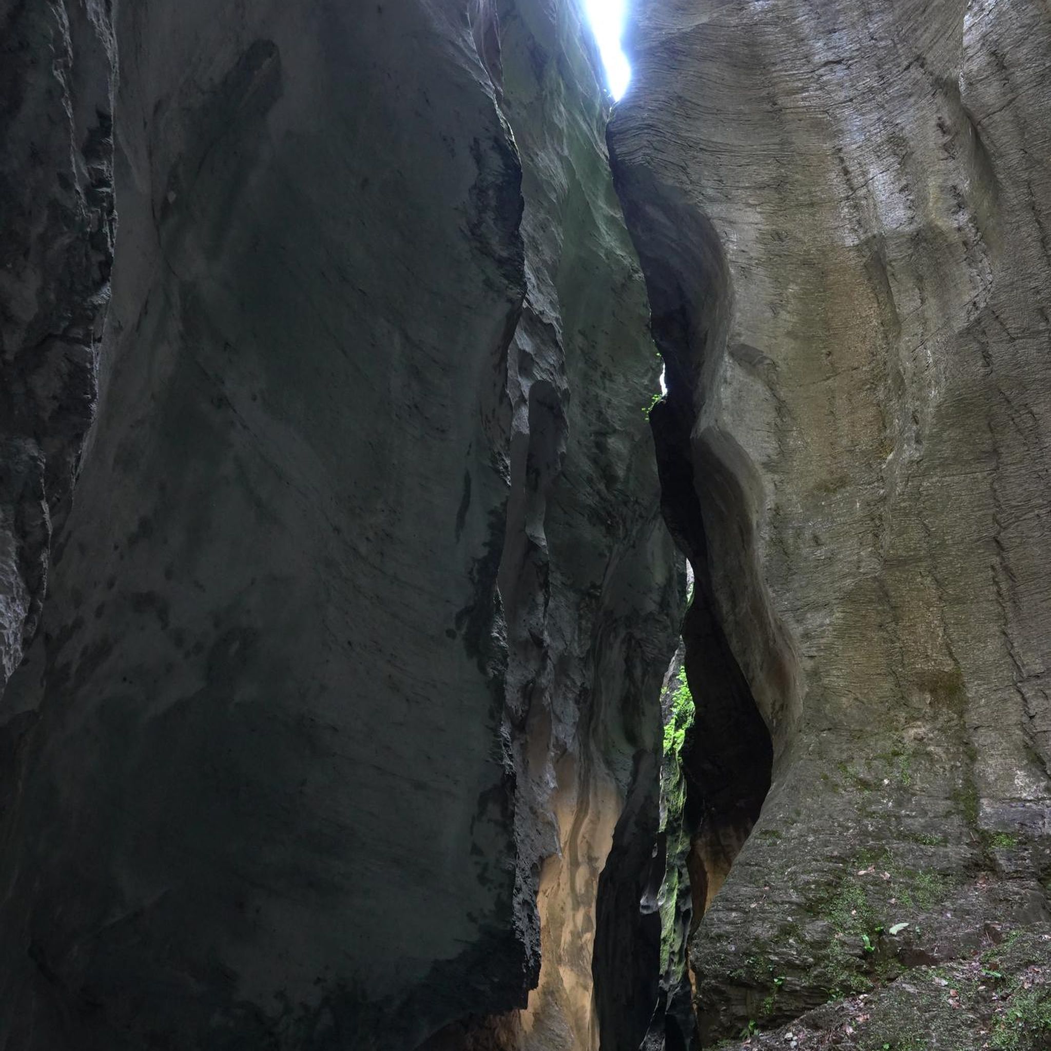
Easy hikes around St. Kilian

Easy hikes around Schleusegrund

Easy hikes around Sachsenbrunn
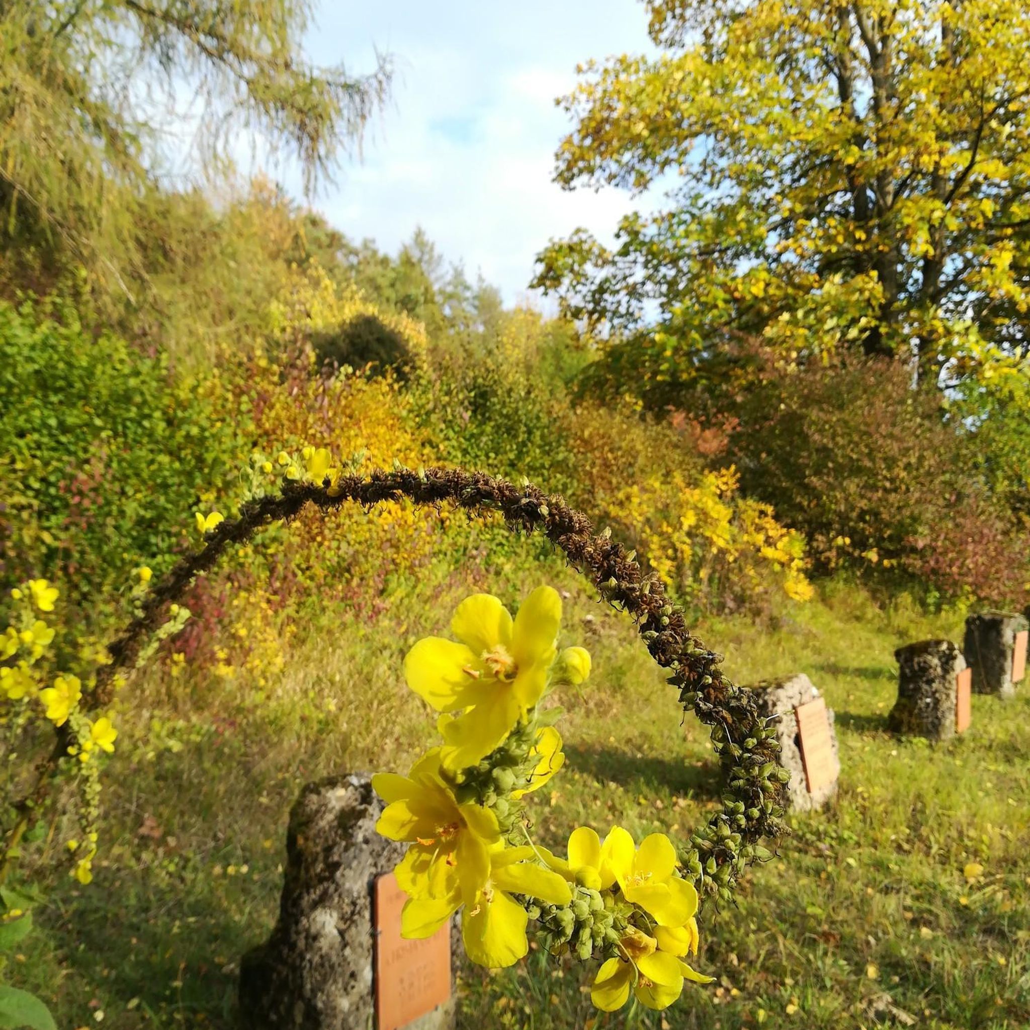
Easy hikes around Natural Park Gleichberge
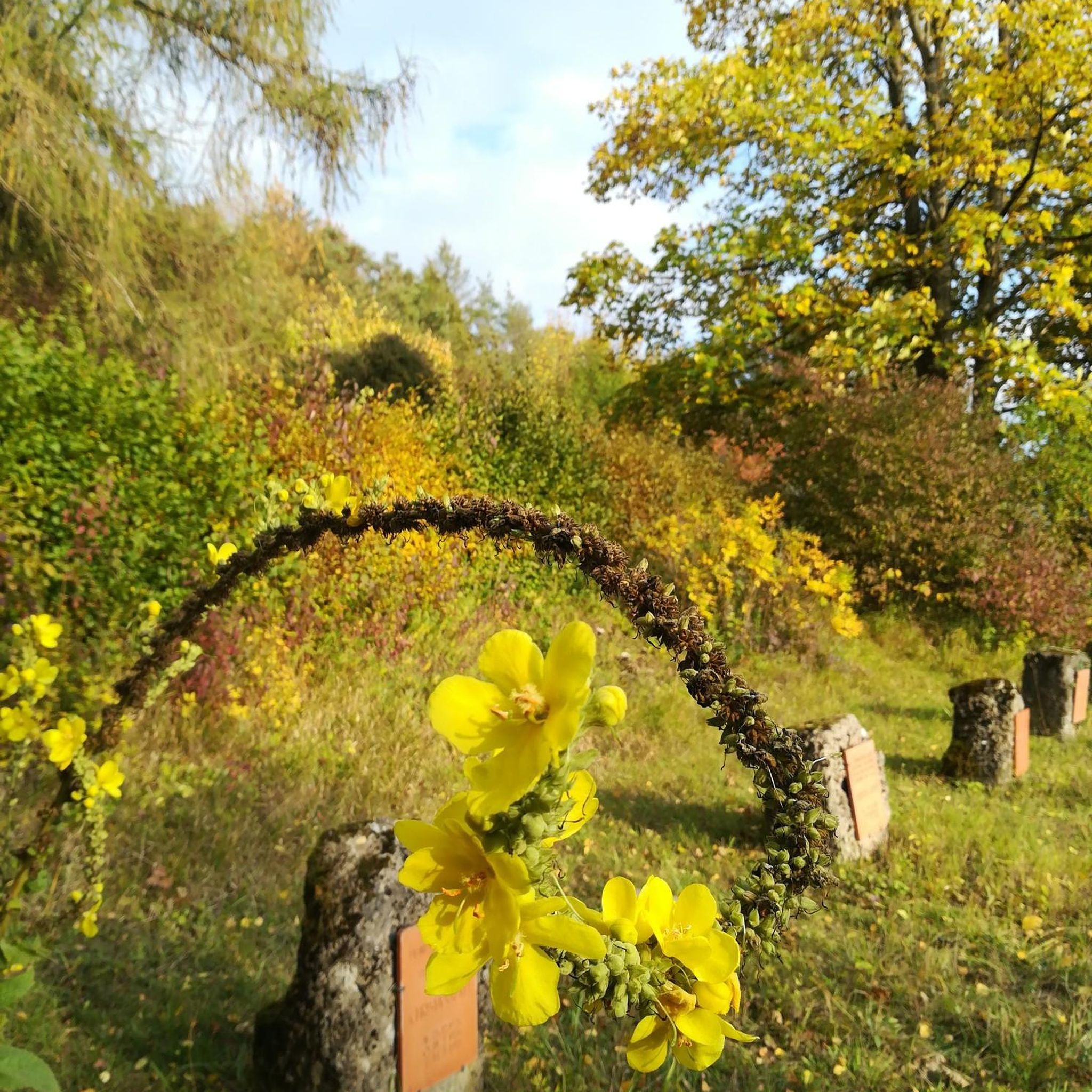
Easy hikes around Dingsleben
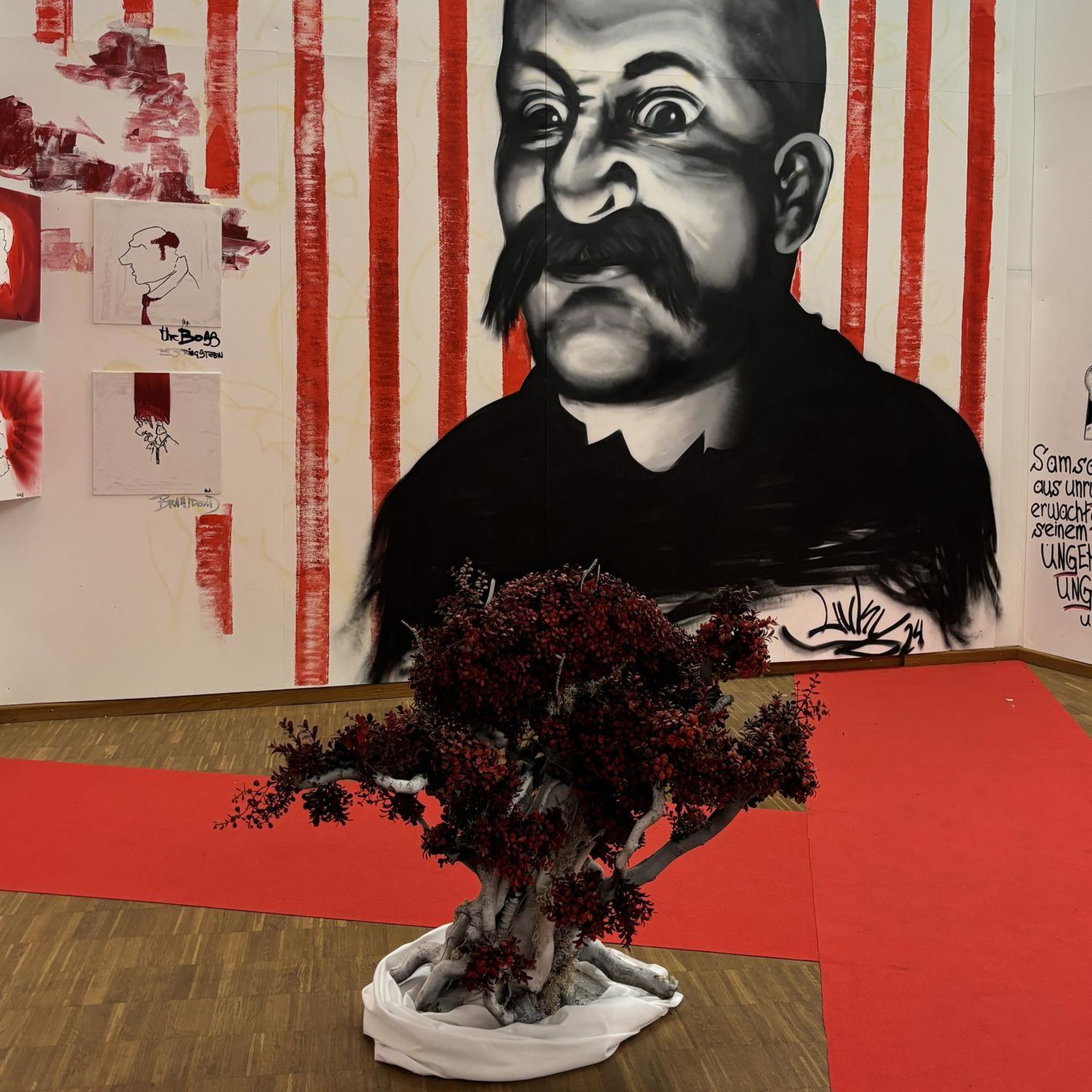
Easy hikes around Dam Ratscher
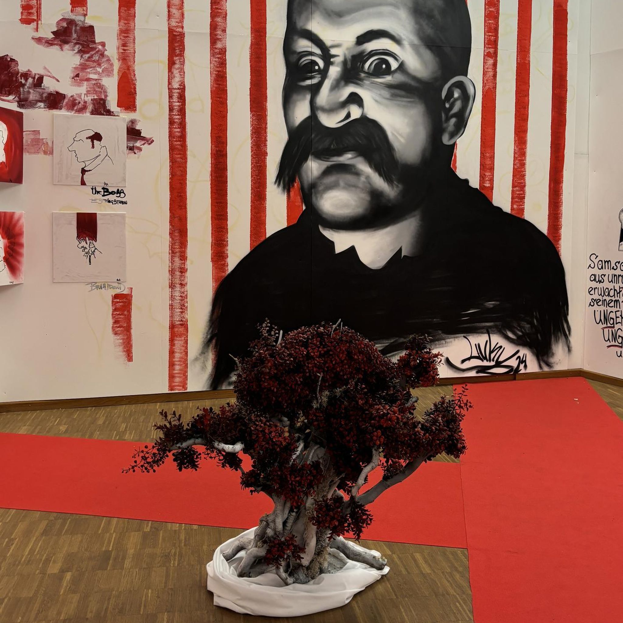
Easy hikes around Schleusingen
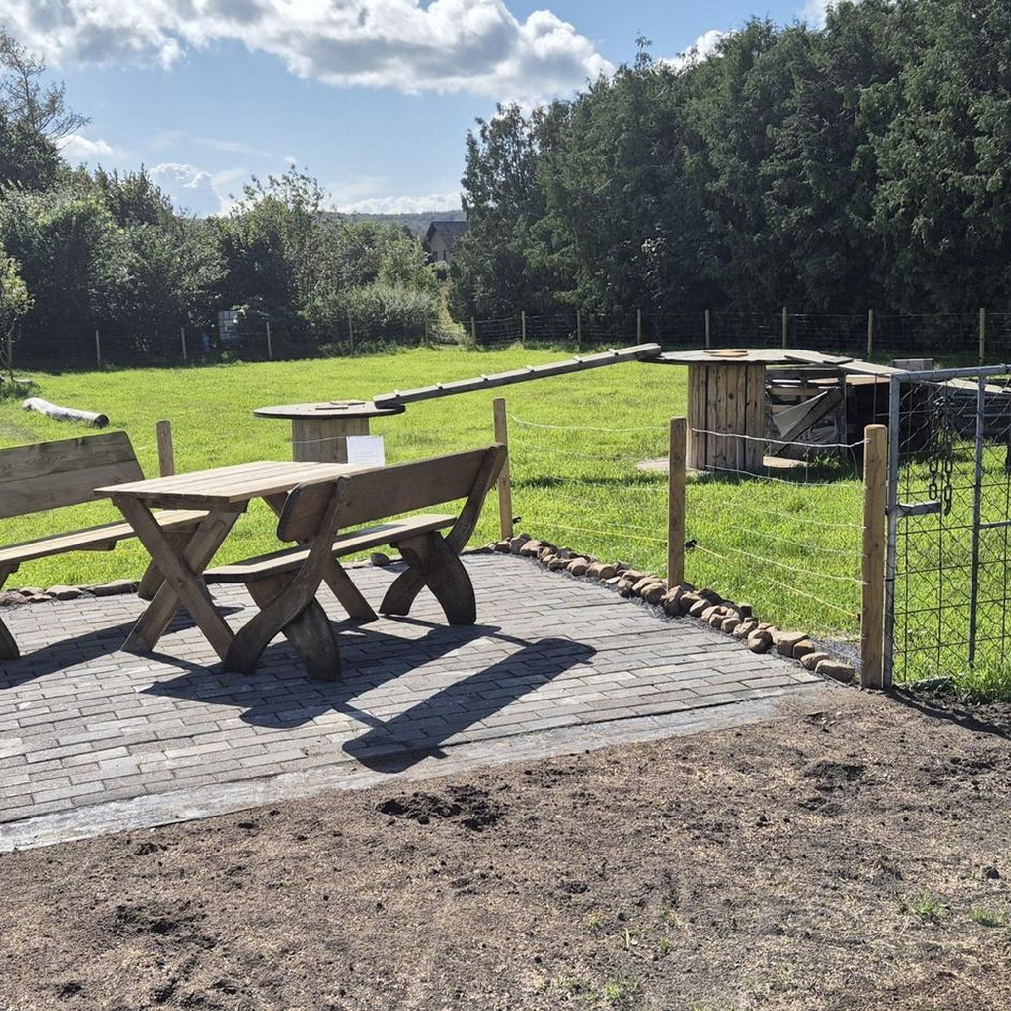
Easy hikes around Eisfeld
Other adventures in Hildburghausen


Tips from the Community

Wonderful place to eat a Snickers
0
0

The town hall in Masserberg looks back on a rich past and was originally the historic inn "Goldene Gabel". The striking, dark-shingled building is centrally located in the heart of the climatic health resort. It reflects the transformation of the Thuringian town from a simple Rennsteig settlement to a flourishing tourism and spa business.
6
0
The metal sculpture in Masserberg is a well-known eye-catcher and landmark directly opposite the Rennsteighaus at the entrance to the Thuringian health resort of Masserberg.
4
0
The Dreiherrenstein on the Hohe Heide is a historical boundary stone on the Rennsteig in the Thuringian Forest. It stands at an altitude of 832 m and marks the historical border point where the territories of Masserberg, Fehrenbach, and Goldisthal meet. The stone was erected in 1846 and bears the inscription "HSM 1846".
6
0

For 2.5 Euros you can't complain, totally Ok.
0
0

Top location on the Rennsteig: The proximity to the famous ridge trail allows for a combination of forest descents and ridge tours. Varied topography: Steep ascents from the Tannengrund or Reuscheltal demand stamina, but reward with brisk descents. Nature experience: The reservoir, with its bays, is reminiscent of a small fjord landscape in the middle of the dense low mountain forest. Tour combinations: Perfect as a stopover or turning point for larger loops, which often start in Schleusingen or Masserberg.
3
0
The Schönbrunn dam is located in the southern Thuringian Forest in the municipality of Schleusegrund (Hildburghausen district, Thuringia). It was commissioned in 1977. The dam is located about 20 kilometers south of Ilmenau and 15 kilometers northeast of Schleusingen. The river Schleuse is dammed. Source: https://de.wikipedia.org/wiki/Talsperre_Sch%C3%B6nbrunn#:~:text=Die%20Talsperre%20Sch%C3%B6nbrunn%20liegt%20im,Gestaut%20wird%20der%20Fluss%20Schleuse.
3
0
The Schönbrunn dam in the Thuringian Forest is attractive for mountain biking due to its charming combination of idyllic, flat shore paths and challenging, hilly ascents in the surrounding mountainous terrain around the Rennsteig. The circuit offers constant views of the blue water of the reservoir and the forest-rich heights of the Thuringian Forest.
3
0
Frequently Asked Questions
How many easy hiking trails are available in Hildburghausen?
Hildburghausen offers a wide selection of easy hiking trails, with over 650 routes specifically categorized as easy. These trails are perfect for beginners, families, or anyone looking for a relaxed outdoor experience.
What makes the easy hiking trails in Hildburghausen suitable for beginners?
The easy hiking trails in Hildburghausen are characterized by gentle gradients, well-maintained paths, and manageable distances. They wind through diverse landscapes like rolling hills and dense forests, providing a scenic and accessible experience for those new to hiking or seeking a less strenuous walk.
Are there easy circular hiking routes in Hildburghausen?
Yes, many easy trails in Hildburghausen are designed as circular routes, allowing you to start and end at the same point. An example is the Eselsgrund Shelter (791 m) – Rennsteig stone on the Rennsteig loop from Masserberg, which offers a pleasant walk through the Thuringian Forest.
Can I find easy hiking trails with viewpoints in Hildburghausen?
Absolutely. The region features several easy trails that lead to scenic viewpoints. For instance, the Celtic Adventure Trail – Bench with view of Römhild loop from Römhild provides beautiful vistas of Römhild. You can also find the Rennsteigwarte on Eselsberg, an observation tower offering panoramic views, accessible via easy routes like the Masserberg Town Hall – Rennsteigwarte on Eselsberg loop from Masserberg.
Are the easy hiking trails in Hildburghausen suitable for families with children?
Many easy trails in Hildburghausen are ideal for families. They often feature gentle terrain and shorter distances. The Nature Park Trail "Bergwiesen- und Moorlehrpfad" in Friedrichshöhe, for example, is a short and engaging route that introduces children to mountain meadow and moorland ecosystems. The region also boasts the Märchenwaldweg (Fairytale Forest Trail), a child-friendly option where kids can learn about well-known fairytale stories.
Are dogs allowed on the easy hiking trails in Hildburghausen?
Yes, dogs are generally welcome on the easy hiking trails in Hildburghausen. The diverse natural landscapes, including forests and river paths, provide excellent opportunities for walks with your canine companion. Always remember to keep your dog on a leash where required and clean up after them.
What is the best time of year for easy hikes in Hildburghausen?
The best seasons for easy hiking in Hildburghausen are spring and autumn. In spring, the forests and meadows burst with colorful wildflowers, while autumn transforms the landscape with vibrant foliage. The mild climate during these seasons ensures pleasant temperatures for walking.
Are there easy hiking trails that follow the Werra River or other water features?
Yes, the tranquil Werra River is a prominent feature of the Hildburghausen landscape, and many easy trails follow its course, offering scenic views. Additionally, you can find routes around reservoirs, such as the Inflow of the Reservoir – Erletor Reservoir loop from Hirschbach or the Schönbrunn Reservoir – View of the Schönbrunn Reservoir loop from Schleusegrund, providing refreshing waterside walks.
What historical or natural attractions can I see along easy hiking trails in Hildburghausen?
Easy hikes in Hildburghausen can lead you to various points of interest. You might encounter historical sites like old watchtowers and fortifications in the Gleichberg region. Natural attractions include the Werra Spring Fehrenbach or the Needle Eye Rock Formation. Some trails also offer views of impressive castles, such as the baroque castle on Schlossberg.
What do other hikers say about the easy trails in Hildburghausen?
The easy trails in Hildburghausen are highly rated by the komoot community, with an average score of 4.6 stars from over 7,900 reviews. Hikers frequently praise the region's diverse and well-maintained paths, the peaceful atmosphere of the Thuringian Forest, and the beautiful natural scenery, making it a favorite for relaxed walks.
Are there parking facilities available near the easy hiking trails?
Yes, many trailheads for easy hikes in Hildburghausen offer convenient parking facilities. While specific parking availability varies by route, popular starting points often have designated areas for vehicles. It's advisable to check the route details on komoot for specific parking information before your trip.
Can I reach easy hiking trails in Hildburghausen using public transport?
Public transport options are available in the Hildburghausen region, connecting various towns and villages. While some trailheads might be directly accessible by bus or train, others may require a short walk from the nearest stop. Planning your route in advance on komoot can help identify public transport connections to your chosen easy hike.
Are there any easy trails that explore the region's unique natural features like moorland?
Yes, Hildburghausen offers easy trails that highlight its unique natural features. The Nature Park Trail "Bergwiesen- und Moorlehrpfad" in Friedrichshöhe is a prime example, providing insights into the distinct mountain meadow and moorland ecosystems found in the area.
What kind of landscapes can I expect on easy hikes in Hildburghausen?
On easy hikes in Hildburghausen, you can expect a varied landscape dominated by the Thuringian Forest. This includes extensive forested areas, attractive hilly countryside, and tranquil river valleys, particularly along the Werra River. You'll also encounter mountain meadows and, in some areas, unique moorland ecosystems, providing a rich and diverse natural experience.
Most popular routes in Hildburghausen
Most popular attractions in Hildburghausen

Get inspired with the komoot mobile app


Didn’t find what you were looking for?
Check out more Hikes throughout Hildburghausen below and find the perfect route in your destination.
Explore more
Browse the best Hikes in other regions.
