Easy hikes and walks around Argenbühl
4.5
(18774)
79,426
hikers
139
hikes
Easy hiking trails around Argenbühl traverse a refreshing pre-Alpine landscape characterized by gentle hills, forests, and diverse natural features. The region's terrain includes rolling hills, known as "Bühle," alongside idyllic lakes and moor water ponds. Hikers can explore expansive forests and lush meadows, with some routes offering panoramic views of the Bavarian, Austrian, and Swiss Alps on clear days. The Argen River also contributes to the area's natural charm.
Best easy hiking trails around Argenbühl
- The most popular easy hiking…
Last updated: October 3, 2026
4.8
(52)
173
hikers
Easy hike. Great for any fitness level. Easily-accessible paths. Suitable for all skill levels.
4.7
(21)
100
hikers
Easy hike. Great for any fitness level. Easily-accessible paths. Suitable for all skill levels.

4.8
(21)
96
hikers
6.90km
01:50
80m
80m
Easy hike. Great for any fitness level. Easily-accessible paths. Suitable for all skill levels.
4.4
(33)
165
hikers
2.98km
00:48
40m
40m
Easy hike. Great for any fitness level. Easily-accessible paths. Suitable for all skill levels.
4.7
(15)
83
hikers
6.98km
01:51
70m
70m
Easy hike. Great for any fitness level. Easily-accessible paths. Suitable for all skill levels.
Get access to more routes and recommendations from other explorers.
Already have an account?
Our route recommendations are based on thousands of hikes, rides, and runs completed by other people on komoot.
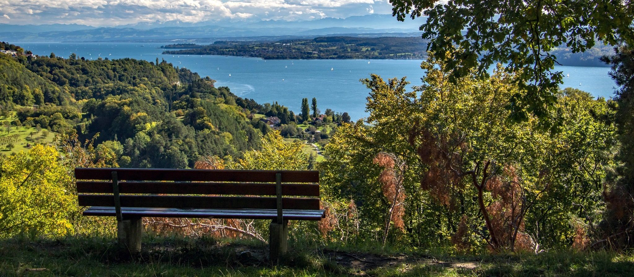
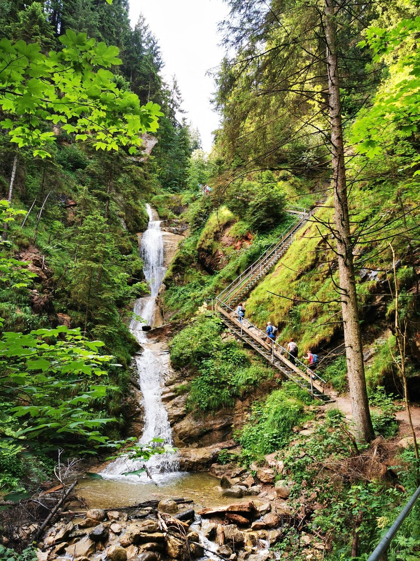
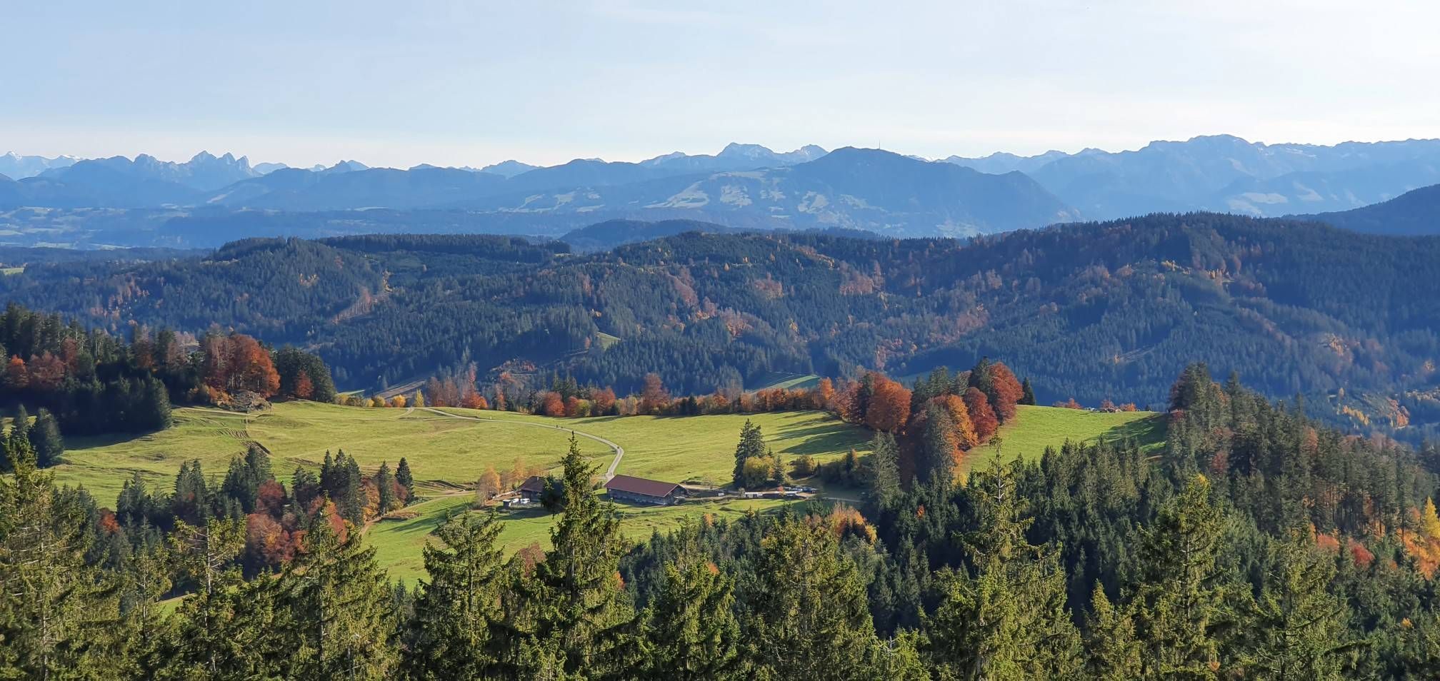
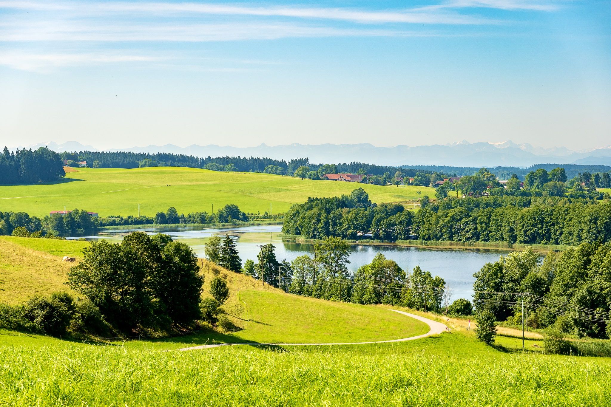
Other adventures around Argenbühl


Tips from the Community

Beautiful view. Perfect for resting and looking at the mountains.
0
0

A bathing lake that warms up very quickly.
0
0

The hall church was built around 1680 and renovated in 1908. It consists of a nave flanked by large chapels, a recessed choir closed on three sides, and in the east, a choir flanking tower, the core of which dates back to the 15th century.
0
0

The lake with its outdoor pool and large recreational area right next to the campsite is ideal for children, teenagers, and adults. Plenty of free parking. A comfortable barbecue area. A petting zoo.
1
0

Siggener Höhe, great rest area with tables and benches and magnificent views
1
0

From the spot marked here you have a good view of the beautiful little lake from the forest side, but no view of the mountains. You can see the mountains from the hill opposite.
0
0
Bergmichel rest area with a great view of the Siggener countryside and the mountain range
0
0
Great view with information board showing which mountain peaks you can see, from Zugspitze to Säntis. There are also a few tables and benches that invite you to linger.
2
1
Frequently Asked Questions
How many easy hiking trails are available in Argenbühl?
Argenbühl offers a wide selection of easy hiking trails, with over 69 routes specifically categorized as easy. In total, the region boasts more than 120 hiking routes suitable for various fitness levels.
What kind of scenery can I expect on easy hikes around Argenbühl?
Easy hikes in Argenbühl traverse a refreshing pre-Alpine landscape characterized by gentle hills, expansive forests, and lush meadows. You'll encounter idyllic lakes and moor water ponds, and on clear days, some routes offer breathtaking panoramic views of the Bavarian, Austrian, and Swiss Alps.
Are there any family-friendly easy hiking trails in Argenbühl?
Yes, Argenbühl is very family-friendly. Many easy trails are suitable for all ages, such as the Buchweiher – Natural lake in Allgäu loop from Argenbühl, which circles a tranquil natural lake. The region also features a dedicated 'Nature Trail' designed for families to learn about local flora and fauna.
Can I bring my dog on the easy hiking trails in Argenbühl?
Argenbühl's natural environment is generally welcoming for dogs. While specific regulations may vary by trail or protected area, most easy hiking trails are suitable for dogs. It's always recommended to keep your dog on a leash and clean up after them to ensure a pleasant experience for everyone.
Are there any circular easy walks in Argenbühl?
Yes, many of the easy hiking trails in Argenbühl are circular routes, making them convenient for exploration. Popular options include the Buchweiher – Natural lake in Allgäu loop from Argenbühl and the Herzlesweg at Badsee – Badsee loop from Badsee, both offering pleasant, self-contained walks.
What are some interesting landmarks or attractions to see on easy hikes?
Along Argenbühl's easy trails, you can discover various points of interest. The Siggenhöhe Viewpoint – View from Siggener Höhe loop from Argenbühl offers magnificent views. You might also encounter historical sites like Ratzenried Castle ruins on routes such as the Ratzenried Castle Ruins – Upper Castle Pond loop from Ratzenried. For natural beauty, look for lakes and moor water ponds.
Are there any waterfalls accessible via easy hiking trails?
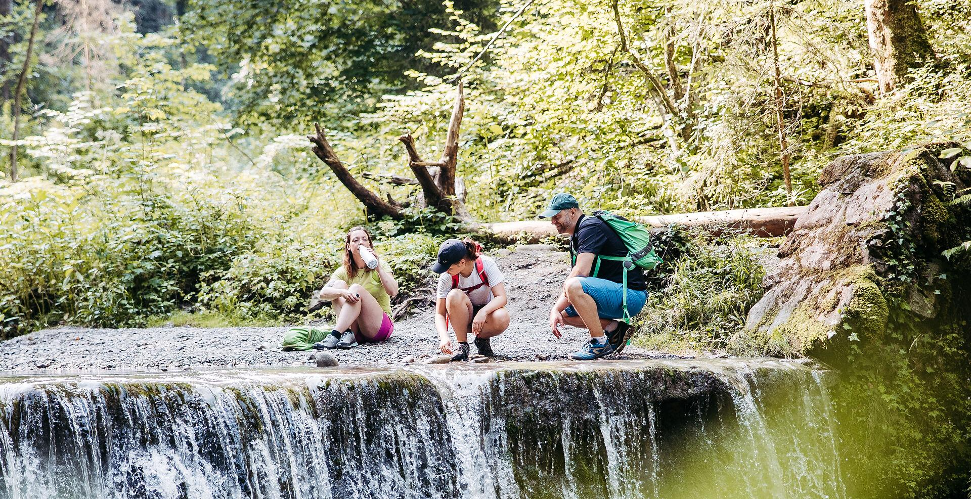
While the famous Eistobel Waterfalls are a notable natural monument nearby, some smaller waterfalls can be found. For instance, the Small Waterfall at the Old Mill in Eistobel is an accessible highlight. The region's diverse waterways contribute to its natural charm.
What is the best time of year for easy hiking in Argenbühl?
The mild temperatures in spring and autumn make these seasons particularly ideal for long, easy walks through nature in Argenbühl. Summer also offers pleasant conditions, especially around the lakes. In winter, the area transforms into a haven for winter hiking, with around 40 km of prepared trails.
Are there any short easy hikes, for example, less than 2 hours or 5 km?
Yes, Argenbühl offers several shorter easy hikes. The Siggenhöhe Viewpoint – View from Siggener Höhe loop from Argenbühl is a 4.7 km trail typically completed in about 1 hour 16 minutes. Another option is the Reservoir – Argen Reservoir loop from Christazhofen, which is 3.3 km long.
What do other hikers say about the easy trails in Argenbühl?
The easy hiking routes in Argenbühl are highly rated by the komoot community, with an average score of 4.5 stars from over 6,300 reviews. Hikers often praise the well-marked paths, the tranquil lake scenery, and the refreshing pre-Alpine landscape with its gentle hills and panoramic views.
Are there places to eat or drink near the easy hiking trails?
While specific cafes or pubs directly on every trail are not listed, Argenbühl, as a state-recognized climatic health resort, offers various amenities. You'll find options for refreshments in the villages and towns within the municipality, often a short distance from the trailheads.
Is public transport available to access hiking trails in Argenbühl?
Argenbühl is integrated into regional transport networks. While specific bus stops for every trailhead are not detailed, public transport options are available to reach the general area. For detailed planning, it's advisable to check local bus schedules to connect to the starting points of your chosen easy hikes.
Where can I find parking for easy hiking trails in Argenbühl?
Parking is generally available near popular trailheads and attractions in Argenbühl. For example, trails around lakes like Buchweiher or Badsee often have designated parking areas. In villages like Ratzenried or Christazhofen, you can typically find parking close to the starting points of routes like the Ratzenried Castle Ruins – Upper Castle Pond loop from Ratzenried.
Most popular routes around Argenbühl
Most popular attractions around Argenbühl

Get inspired with the komoot mobile app


Explore more
Browse the best Hikes in other regions.
