Easy hikes and walks around Walkenried
4.5
(22826)
75,485
hikers
103
hikes
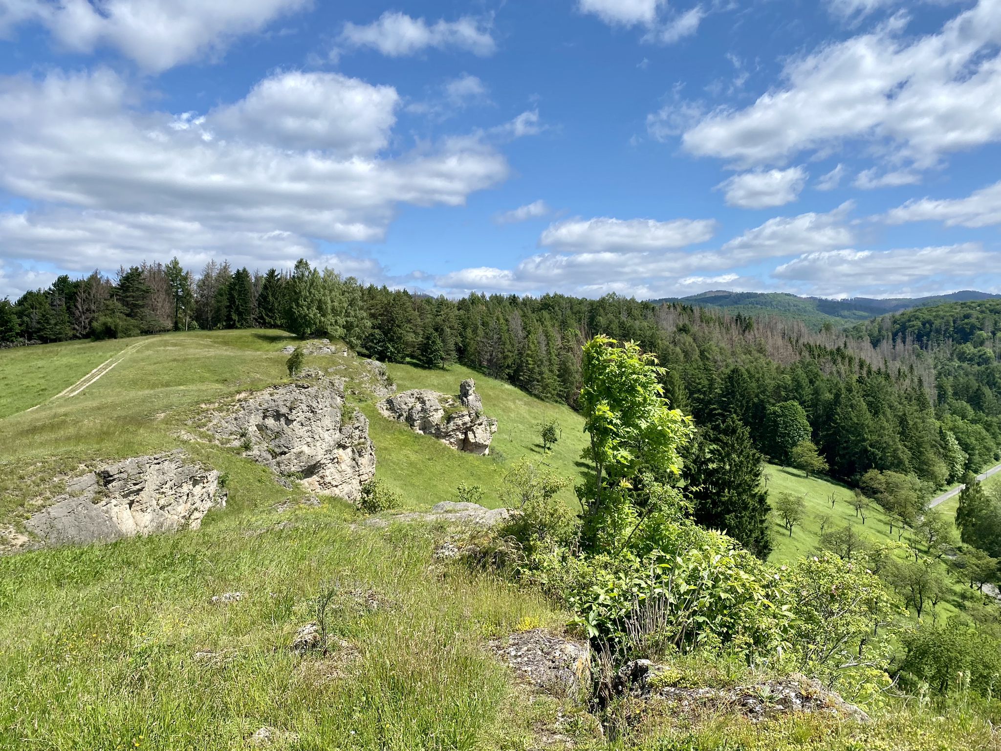
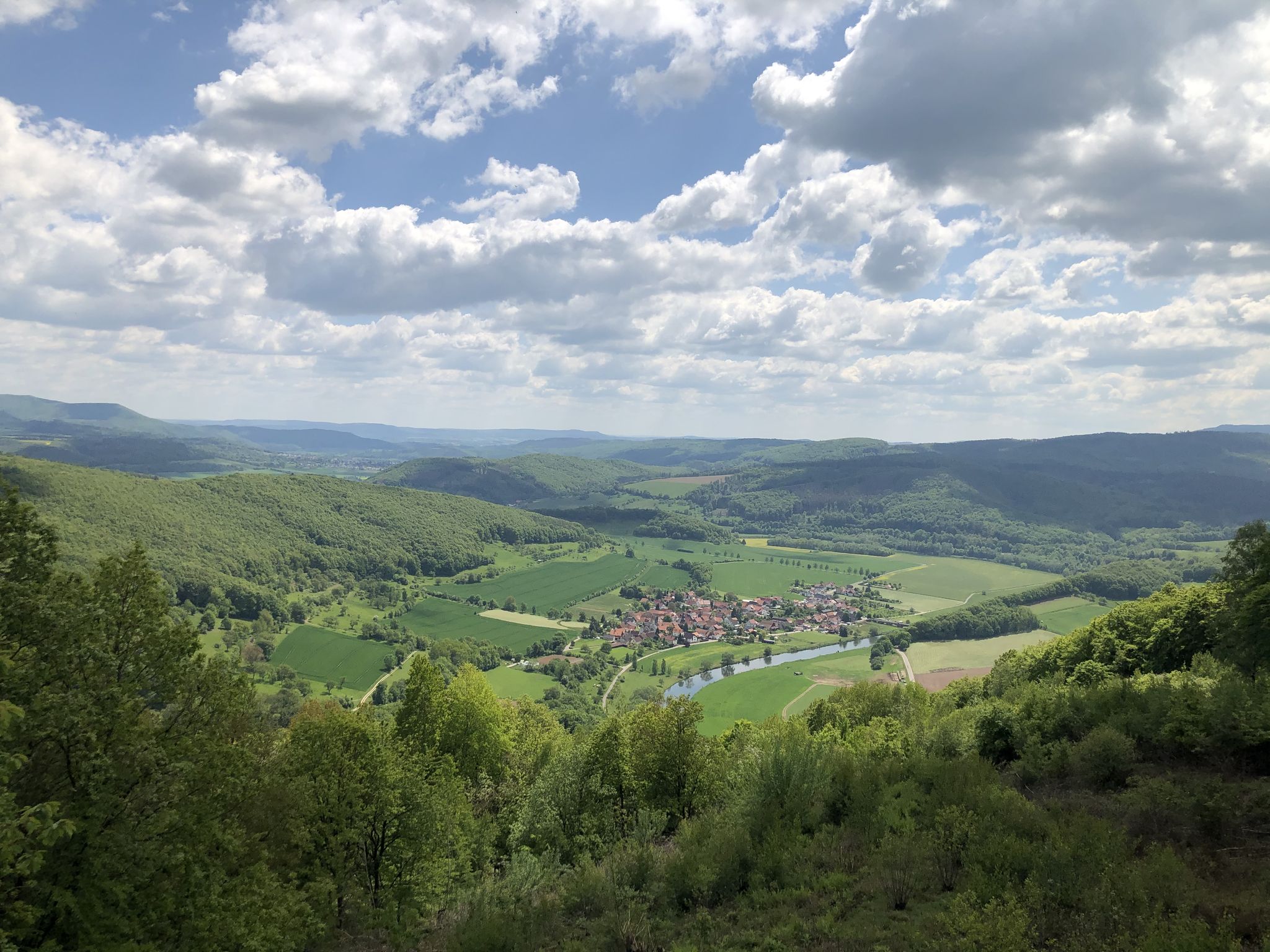
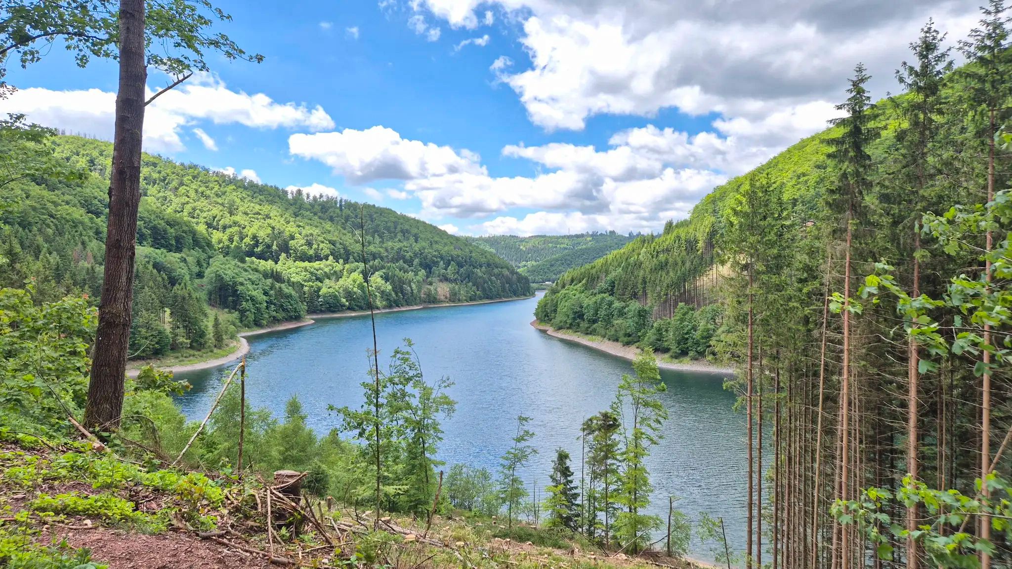
Easy hiking trails around Walkenried traverse a distinctive gypsum karst landscape in the southern Harz Mountains. This region features idyllic forests, rolling hills, and tranquil stream valleys, with elevations generally under 200 meters. The terrain is characterized by outcropping gypsum rocks and over 50 historic fish ponds, creating a diverse environment for exploration. The area offers a network of well-signposted routes through landscape and nature conservation areas.
Best easy hiking trails around Walkenried
- The most popular easy hiking route is…
Last updated: November 14, 2026
4.7
(404)
1,381
hikers
Easy hike. Easily walkable paths.
4.7
(39)
123
hikers
Easy hike. Easily walkable paths.

4.6
(150)
617
hikers
Easy hike. Easily walkable paths.
4.6
(16)
48
hikers
Easy hike. Easily walkable paths.
4.3
(9)
26
hikers
Easy hike. Easily walkable paths.
Get access to more routes and recommendations from other explorers.
Already have an account?
Our route recommendations are based on thousands of hikes, rides, and runs completed by other people on komoot.
Start today with a free account
Your next adventure awaits.
Other adventures around Walkenried


Tips from the Community

Very nice path, especially when the rapeseed is blooming.
0
0


Very nice place with great view
0
0
Beautiful nature, great location
0
0

A wonderful resting place with beautiful views, especially in autumn and winter.
5
0
Beautiful trail, just be careful, there are heavy tree breaks. Part of the Karst hiking trail.
6
0
When breaking through the heavenly realm, the 320 meter long and 15 meter high cave was discovered.
5
1
Frequently Asked Questions
How many easy hiking trails are available in Walkenried?
Walkenried offers a wide selection of easy hiking trails, with 58 routes specifically categorized as easy. In total, there are over 100 hiking routes in the region, catering to various preferences.
What kind of unique natural features will I encounter on easy hikes in Walkenried?
The region is renowned for its distinctive gypsum karst landscape, featuring idyllic forests, rolling hills, and tranquil stream valleys. You might also spot unique geological formations like 'dwarf holes' (Zwergenlöcher), which are small gypsum spring caves, and explore areas with outcropping gypsum rocks. The landscape is also dotted with over 50 historic fish ponds, originally created by Cistercian monks.
Are there any family-friendly easy hikes in Walkenried?
Yes, many of the easy trails are suitable for families. The gentle terrain and well-marked paths make them ideal for all ages. For example, the Hirse Pond – View of Priorteich loop from Walkenried is a shorter, easy option that allows families to enjoy the natural surroundings and historic ponds.
Can I bring my dog on the easy hiking trails?
Walkenried's easy hiking trails are generally dog-friendly, offering plenty of natural spaces for your canine companion. Many routes pass through forests and along ponds, providing varied scenery. Always ensure your dog is on a leash and respect local wildlife and other hikers.
What are some notable landmarks or attractions to see along the easy trails?
You can explore significant historical and natural sites. The Itelteich West Shore – Walkenried Abbey Ruins loop takes you past the UNESCO World Heritage Site of Walkenried Monastery. Other attractions include the picturesque Stierberg Pond and the Reversible oak (HWN 165), a natural monument.
Are there easy circular routes available?
Yes, Walkenried offers numerous easy circular routes, perfect for a relaxed day out. A popular choice is the Bench with a view of Itelteich – Itelteich West Shore loop, which provides scenic views of the Itelteich and is easily accessible.
What is the best time of year for easy hikes in Walkenried?
The best seasons for easy hiking in Walkenried are typically spring and autumn. During these times, the weather is mild, and nature is particularly vibrant, with blossoming wildflowers in spring or colorful foliage in autumn. The trails are generally well-maintained and accessible throughout these periods.
What do other hikers say about the easy trails in Walkenried?
The easy trails in Walkenried are highly regarded by the komoot community, with an average rating of 4.6 out of 5 stars from over 2,000 reviews. Hikers often praise the quiet woodlands, the beauty of the historic fish ponds, and the well-marked paths that make navigation straightforward.
Are there any easy trails that offer good viewpoints?
Yes, several easy trails provide excellent viewpoints. The region's gypsum karst landscape and rolling hills offer natural vantage points. For instance, the View of the Itelteich – Itelteich West Shore loop offers lovely perspectives of the Itelteich, while the Höllstein cliffs, accessible via parts of the Karstwanderweg, provide picturesque views of the village and surrounding ponds.
Can I access easy hiking trails in Walkenried using public transport?
Walkenried is well-connected, and many trails are accessible from the village center, which can be reached by public transport. The Karstwanderweg, for example, starts directly in the village, making it convenient for those arriving without a car. Check local bus and train schedules for specific connections to Walkenried.
Are there any easy trails that pass by historic sites or cultural attractions?
Absolutely. The area is rich in history. The Gatehouse of Walkenried Monastery – Röse Pond loop is an easy trail that allows you to explore the vicinity of the historic Cistercian monastery, a significant cultural landmark. Many trails also circle the medieval fish ponds, offering a glimpse into the region's past.
What is the typical elevation gain on easy hikes in Walkenried?
Easy hikes in Walkenried generally feature gentle elevation changes, with routes typically having an elevation gain under 100 meters. This makes them suitable for beginners or those seeking a relaxed walk without strenuous climbs. The landscape consists of rolling hills rather than steep mountains.
Most popular routes around Walkenried
Most popular attractions around Walkenried

Get inspired with the komoot mobile app


Explore more
Browse the best Hikes in other regions.
