Easy hikes and walks around Aland
4.5
(826)
3,213
hikers
290
hikes
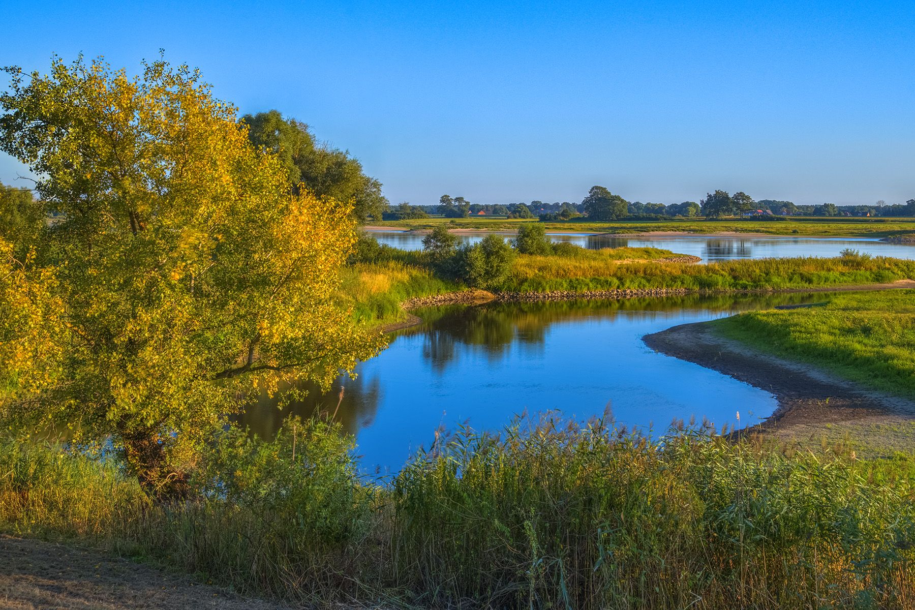
Easy hiking trails around Aland traverse a unique archipelago landscape, characterized by over 6,700 islands, skerries, and rocks. The terrain features distinctive red granite bedrock, tranquil forests, and lush meadows. Coastal paths often provide panoramic sea views, while inland routes wind through a mix of pine and spruce forests, interspersed with deciduous trees.
Best easy hiking trails around Aland
- The most popular easy hiking route is View of the Elbe at Wahrenberg loop from Wahrenberg, a 4.6 miles (7.4…
Last updated: August 10, 2026
4.5
(6)
29
hikers
Easy hike. Great for any fitness level. Easily-accessible paths. Suitable for all skill levels.
4.8
(4)
16
hikers
Easy hike. Great for any fitness level. Easily-accessible paths. Suitable for all skill levels.

Sign up for free
5.0
(1)
8
hikers
Easy hike. Great for any fitness level. Easily-accessible paths. Suitable for all skill levels.
5.0
(5)
6
hikers
7.59km
01:55
10m
10m
Easy hike. Great for any fitness level. Easily-accessible paths. Suitable for all skill levels.
5.0
(2)
8
hikers
Easy hike. Great for any fitness level. Easily-accessible paths. Suitable for all skill levels.
Get access to more routes and recommendations from other explorers.
Sign up for free
Already have an account?
Our route recommendations are based on thousands of hikes, rides, and runs completed by other people on komoot.
Start today with a free account
Your next adventure awaits.
Login or Signup


Tips from the Community

As already mentioned, you should stop here!
1
0
small town, unfortunately few offerings. Only the "Alte Schule" is a meeting point for many bikers.
0
0

Attention: The Elbe ferry between Schnackenburg and Lütkenwisch is currently out of service until further notice due to a shortage of staff. There is no exact date yet for the resumption of the ferry service. (https://www.amtlenzen.de/seite/630582)
0
0

👉🏻 historical location of an observation tower (BT FüSt - 4x4 usually 6m high and served as a command post) The signal system of the border section converged here (including for the border signal fence, the gates, water crossings), the border reporting network, and the company's communication and information system. 👉🏻 Today, there is again a wooden observation tower here to observe nature and get a view over a bird-rich floodplain.
0
0

Actually, there are two lakes. Beautifully situated in the landscape, on the Green Belt, the former border strip between West Germany and East Germany. The beautiful river Aland also flows past here. Here you also have good opportunities to observe and photograph birds and wild animals. On my bike tours, I always enjoy cycling past here and like to make a stopover here.
0
0

A visit to the interior is worthwhile.
0
0
Good accommodation. Delicious food is served in the evening.
1
0
Observation of waterfowl and cranes is possible.
0
0
Frequently Asked Questions
How many easy hiking trails are available in Åland?
Åland offers a wide selection of easy hiking trails, with over 150 routes specifically categorized as easy. In total, the region features more than 300 hiking tours, catering to various preferences and skill levels.
What kind of terrain can I expect on easy hikes in Åland?
Easy hikes in Åland primarily feature a unique archipelago landscape with gentle gradients. You'll encounter distinctive red granite bedrock, tranquil forests, and lush meadows. Coastal paths often provide panoramic sea views, while inland routes wind through a mix of pine and spruce forests, interspersed with deciduous trees. Some areas with bare bedrock might be uneven, but generally, the trails are well-maintained.
What is the best time of year for easy hiking in Åland?
The mild climate, influenced by the surrounding sea, makes spring and early summer particularly vibrant for hiking in Åland. Forest meadows explode with wildflowers like blue anemones, orchids, and cowslips during this period. Autumn also offers beautiful colors. While winter hiking is possible, sturdy, waterproof footwear is recommended due to potentially uneven or slippery conditions on bare bedrock.
Are there family-friendly easy hikes in Åland?
Yes, Åland has many trails suitable for families. The region's network of 40 nature trails, ranging from 1 to 13 kilometers, often winds through nature reserves and is generally easy to navigate. For example, the Lövö Nature Trail is known as an easy hike suitable for all skill levels, making it a great option for families.
Can I bring my dog on easy hiking trails in Åland?
Many outdoor areas in Åland are accessible with dogs, but it's always best to check local regulations for specific trails or nature reserves. Generally, dogs should be kept on a leash, especially during nesting seasons or when passing through areas with livestock. The right of public access in Åland allows for responsible enjoyment of nature.
Are there circular easy hiking routes in Åland?
Yes, many easy hiking trails in Åland are designed as loops, offering a convenient way to explore without retracing your steps. For instance, the Stresow Memorial Site – Wittenow Observation Tower loop from Gummern is an easy circular route that covers about 3.6 kilometers.
What natural attractions can I see along easy hiking trails in Åland?
Åland's easy trails offer diverse natural attractions. You can explore the unique archipelago environment, characterized by over 6,700 islands and skerries. Keep an eye out for the distinctive red granite bedrock and rich flora in the forest meadows. Some trails might lead you past impressive natural formations like sea-carved cliffs or even giant's kettles, believed to have formed during the ice age. You can also find highlights such as Arendsee Lake or the View of Lake Gartow.
What do other hikers say about easy trails in Åland?
The easy hiking trails in Åland are highly rated by the komoot community, with an average score of 4.6 stars from over 400 reviews. Hikers often praise the tranquil atmosphere, the unique archipelago scenery, and the well-maintained paths that make for an enjoyable outdoor experience.
Are there any easy hikes that offer scenic views?
Absolutely. Given Åland's archipelago environment, many easy trails offer panoramic sea views, especially those winding along the coast or crossing smaller islands. The changing scenery as trails traverse islands and bridges is a highlight. The Alandauen Nature Reserve – Aulosen Observation Tower loop from Stresow, for example, provides views of a natural reserve and features an observation tower for elevated perspectives.
What equipment do I need for easy hiking in Åland?
While no special equipment is typically needed for easy hikes in Åland, sturdy, waterproof footwear is highly recommended. The terrain can sometimes be uneven, especially on bare bedrock, and the weather can be unpredictable. Layered clothing is also advisable to adapt to changing conditions.
Is parking available at the trailheads for easy hikes?
Parking is generally available at or near the starting points of many popular hiking trails in Åland. However, it's always a good idea to check specific route details or local signage, especially in more remote areas or during peak season, to ensure convenient access.
Can I access easy hiking trails in Åland using public transport?
Public transport options exist in Åland, particularly connecting the main island and some of the larger islands. While some trailheads might be directly accessible by bus or ferry, others may require a short walk or taxi ride from the nearest stop. For detailed information on routes and schedules, it's recommended to consult local transport providers.
Are there any easy 'hidden gem' trails in Åland?
While many trails are well-known, Åland's vast archipelago means there are always quieter spots to discover. Exploring the smaller islands or less frequented nature reserves can lead to serene experiences. Trails like the Jyddö Trail in Föglö or the Hastersboda Trail, also in Föglö, offer beautiful routes with lookout towers and insights into Åland's history, providing a sense of discovery away from the busiest paths.
Most popular attractions around Aland

Get inspired with the komoot mobile app


Explore more
Browse the best Hikes in other regions.
